
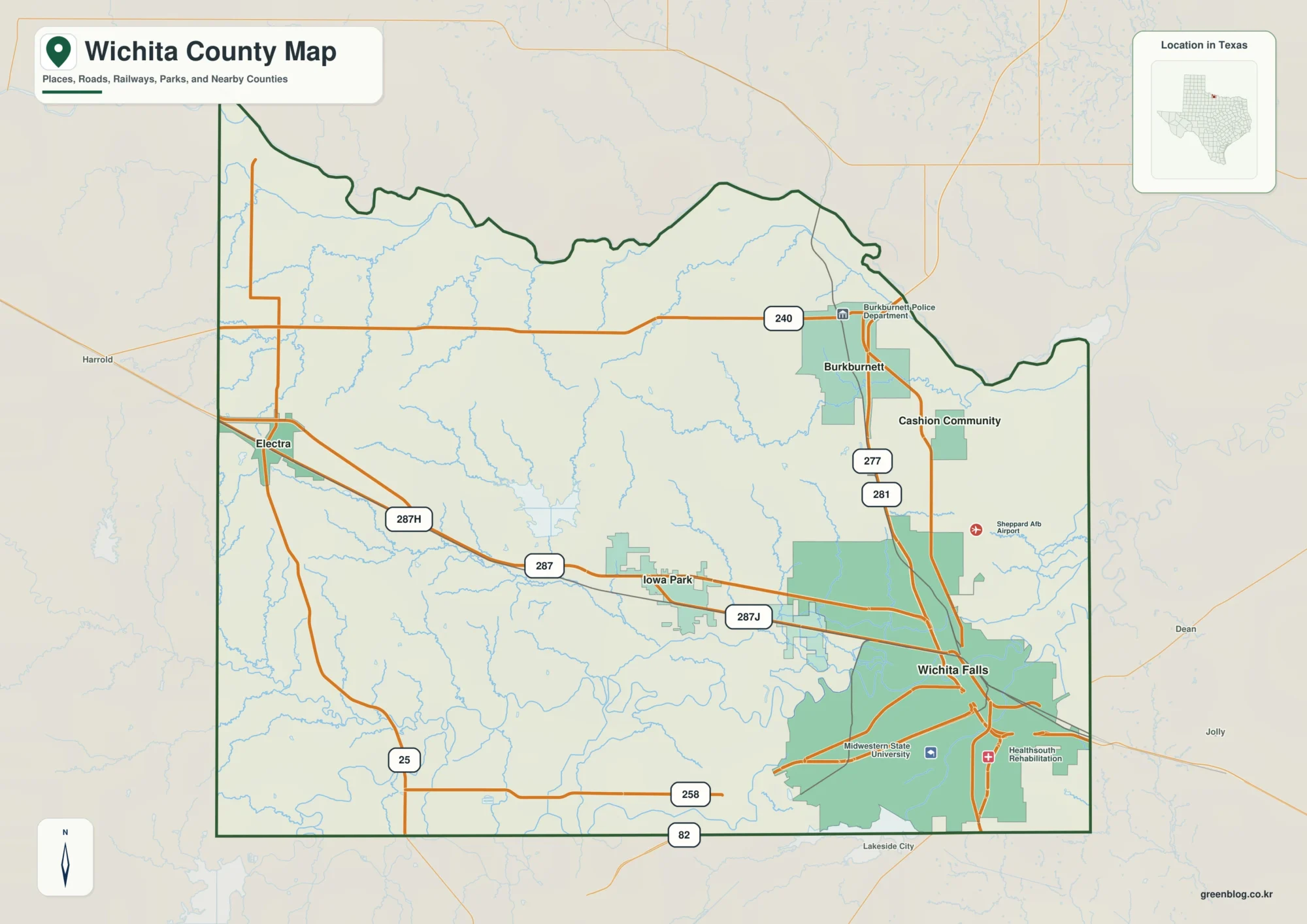
Red River and Wichita Falls on a Wichita County Texas Map
This page uses Wichita Falls as the main urban reference for a Wichita County Texas Map, then follows the highway
Red River and Wichita Falls on a Wichita County Texas Map Read More »
This page uses Wichita Falls as the main urban reference for a Wichita County Texas Map, then follows the highway
Red River and Wichita Falls on a Wichita County Texas Map Read More »
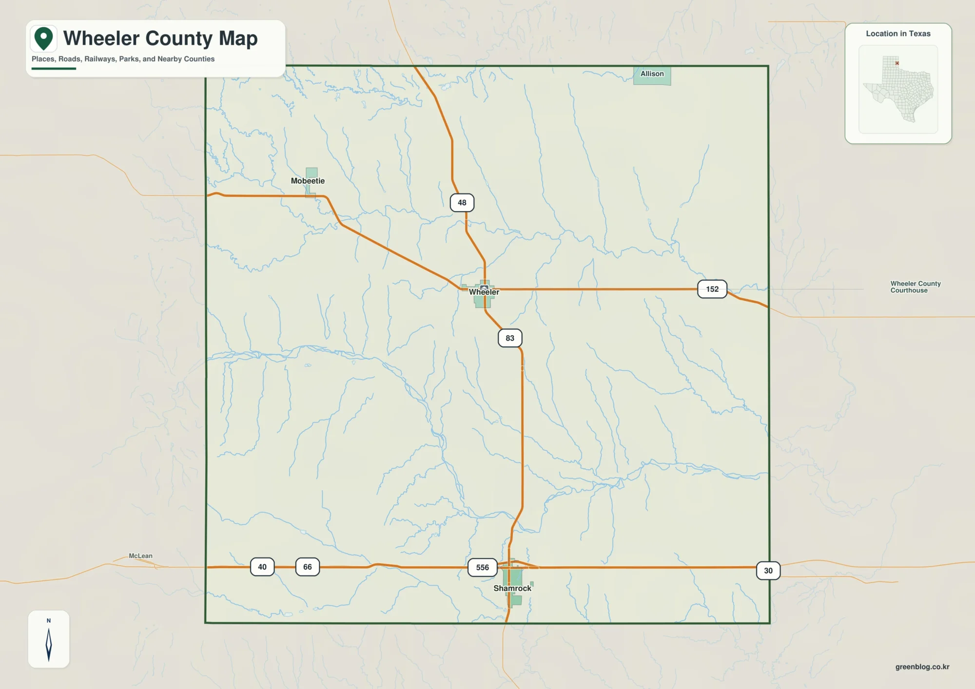
This page uses Shamrock as the southern hub for a Wheeler County Texas Map, then follows US 83 north to
Shamrock and North Fork Red River — Wheeler County Texas Map Read More »
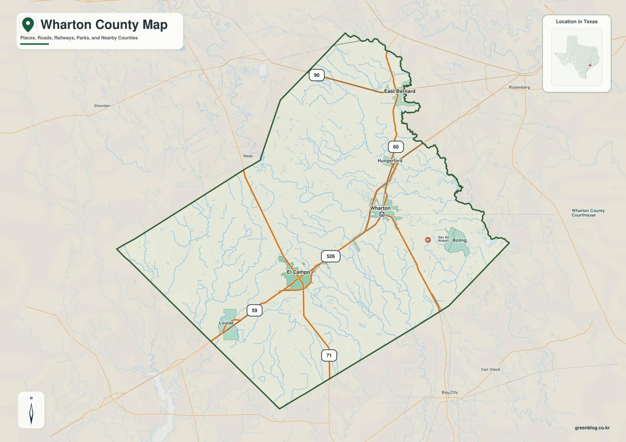
This page uses El Campo as the hub for a Wharton County Map, then follows the central road network toward
Wharton County Map: East Bernard, Bernard Creeks, and Colorado River Lowlands Read More »
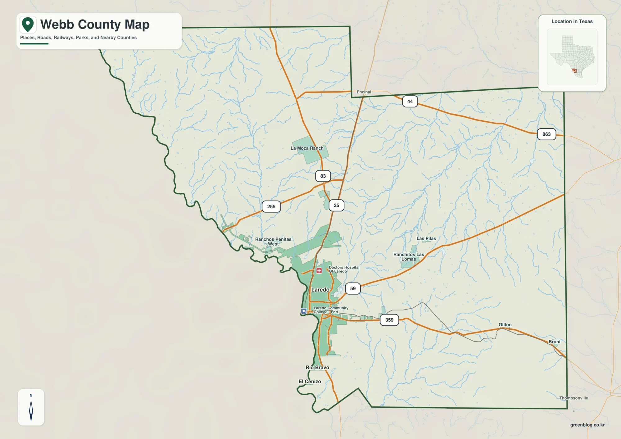
This page uses Laredo as the hub for a Webb County Map, then follows the Rio Grande south toward Rio
Laredo and Rio Grande Valleys on a Webb County Map Read More »
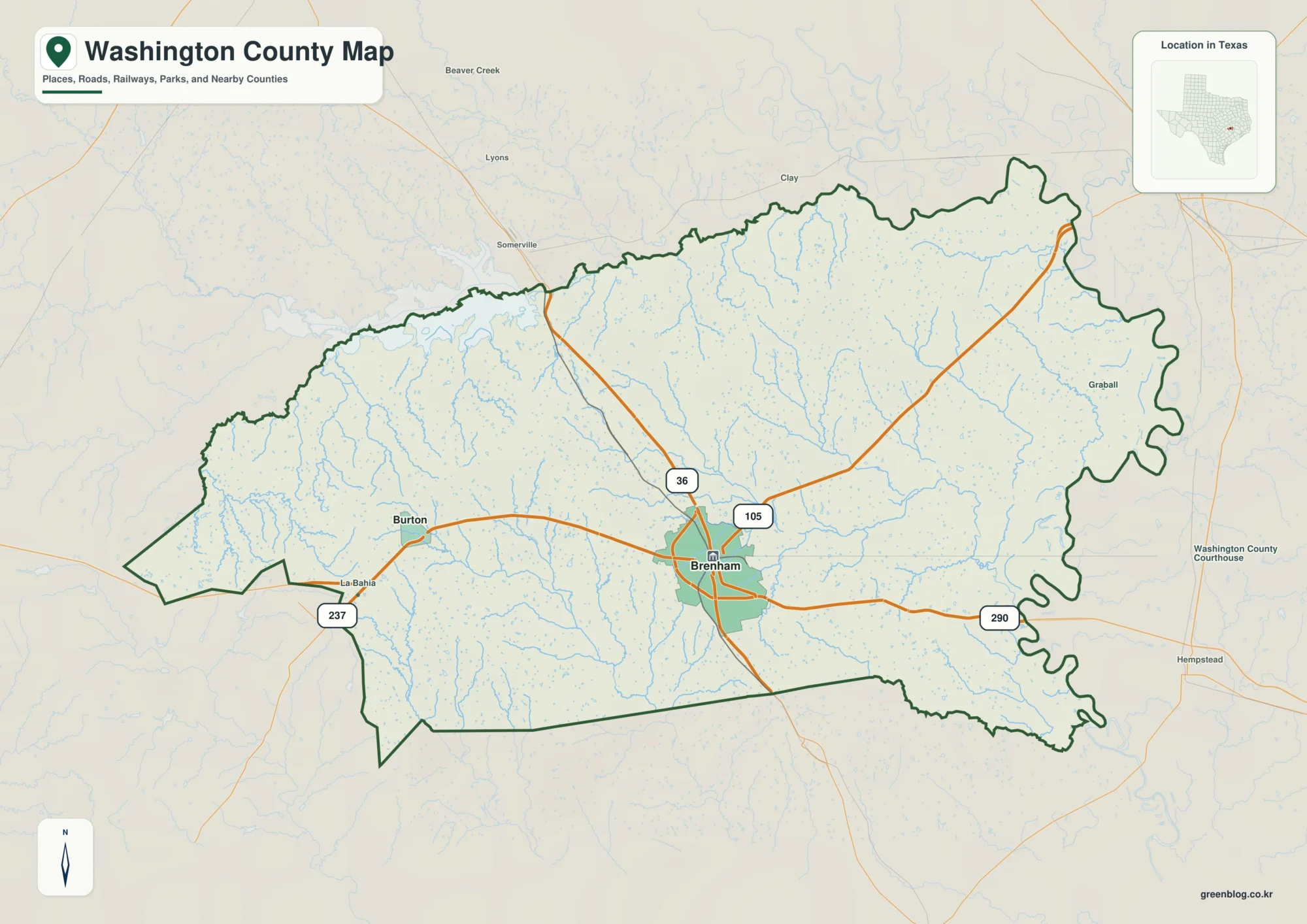
This page uses Brenham as the central road and settlement reference for a Washington County Texas Map, then follows the
Brazos River and Brenham on a Washington County Texas Map Read More »
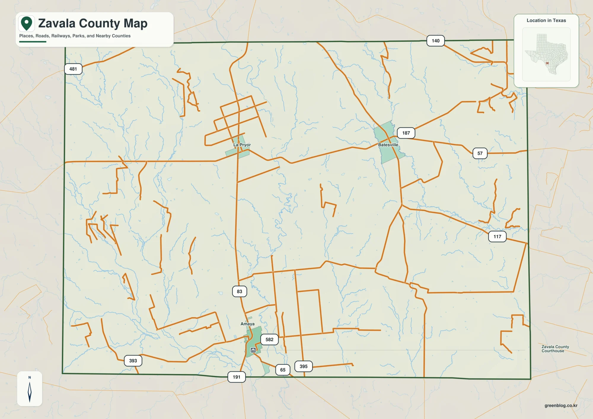
Zavala County Map resources on this page show the county around Crystal City with separate views for roads and places,
Zavala County Map – Roads, Rivers, and Elevation around Crystal City Read More »
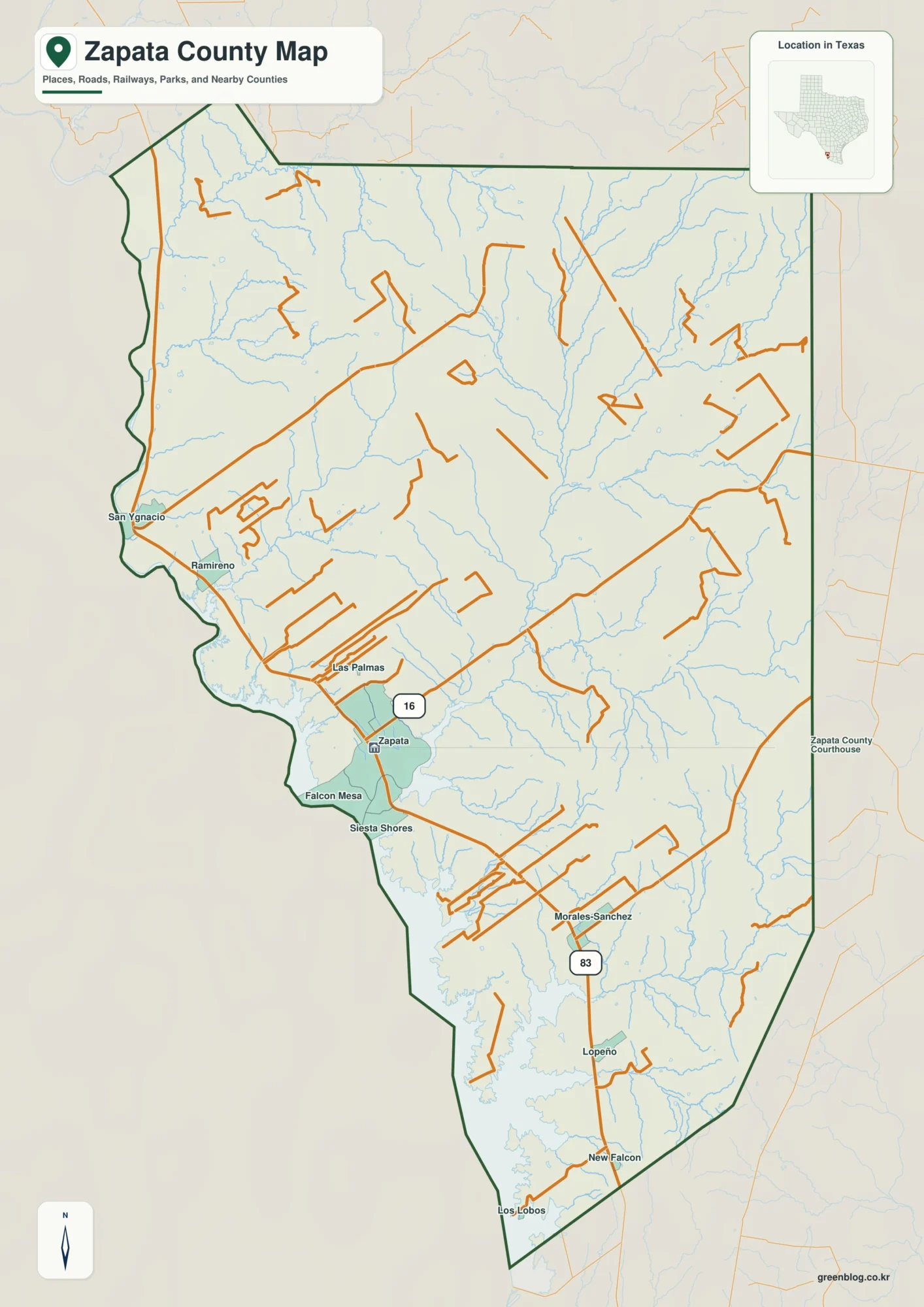
Download the high-resolution A3 JPG Zapata County map set as one ZIP file directly from this page. The package includes
Falcon Reservoir and US 83 on a Zapata County Map Read More »
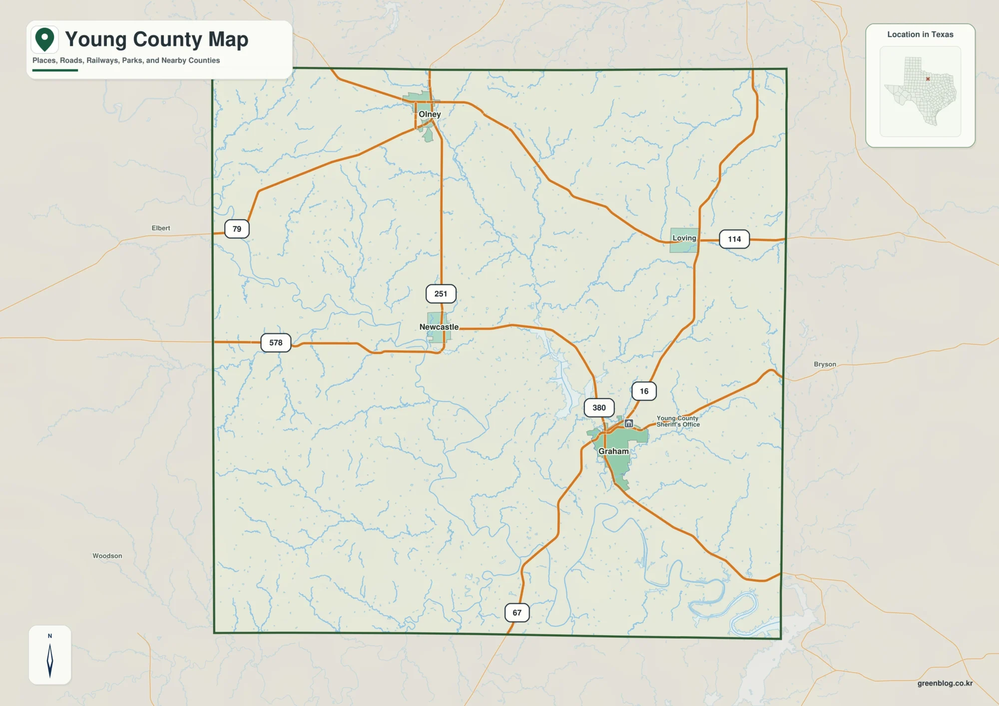
If you need a Young County Map for printing, a presentation, classroom work, or offline reference, you can download the
Young County Map: Graham Roads, Brazos Waters and Elevation Read More »
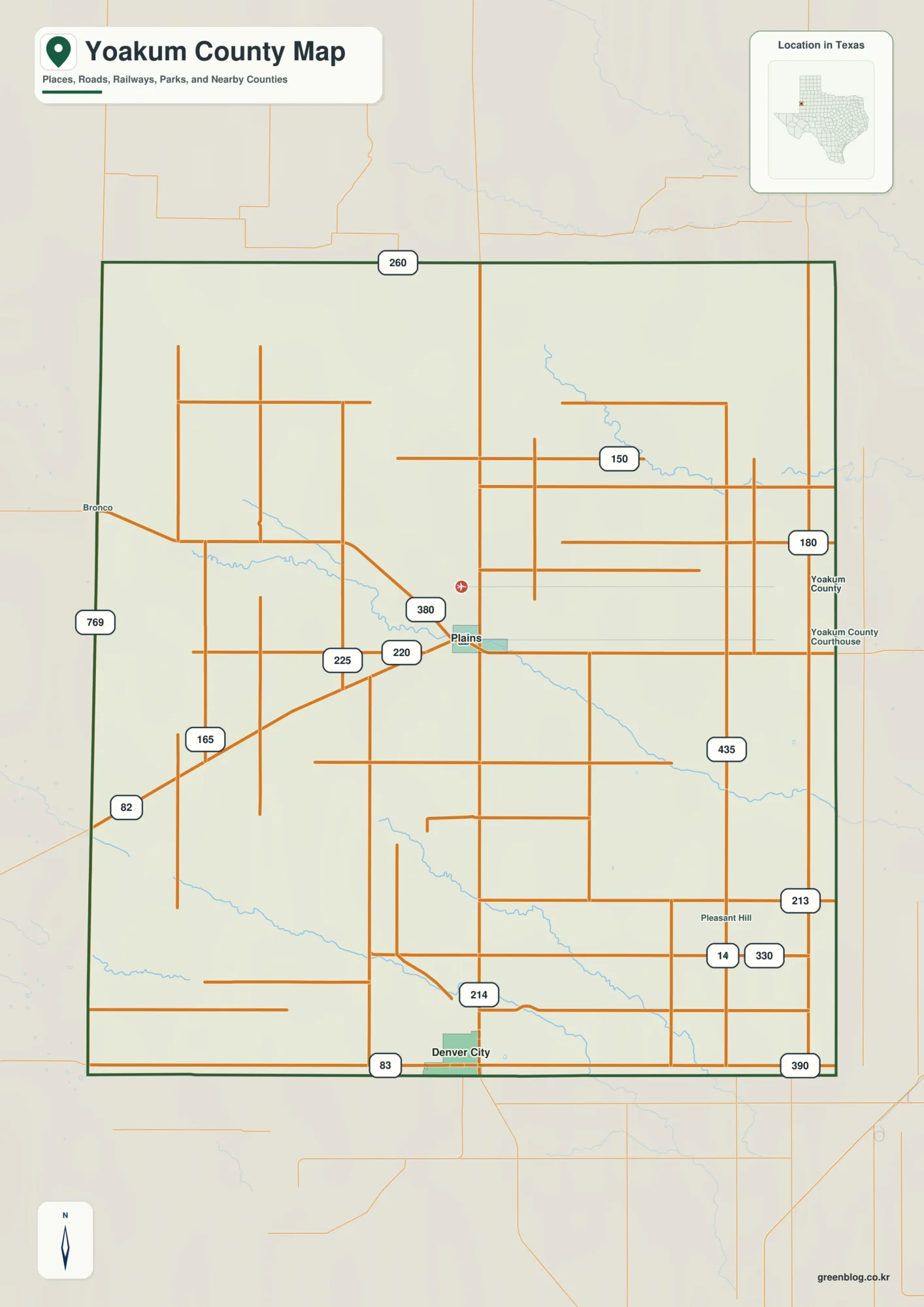
This page uses Plains as the central reference for a Yoakum County Map, then follows route 214 south toward Denver
Plains, Denver City, and Sulphur Springs Draw — Yoakum County Map Read More »