
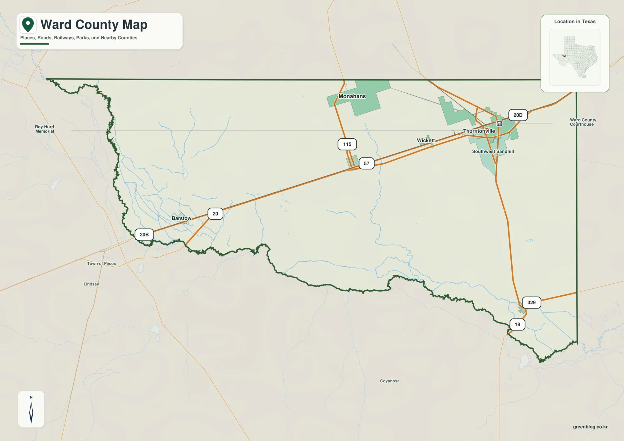
Pecos River and Monahans on a Ward County Texas Map
This page uses Monahans as the main settlement reference for a Ward County Texas Map, then follows the road corridor
Pecos River and Monahans on a Ward County Texas Map Read More »
This page uses Monahans as the main settlement reference for a Ward County Texas Map, then follows the road corridor
Pecos River and Monahans on a Ward County Texas Map Read More »
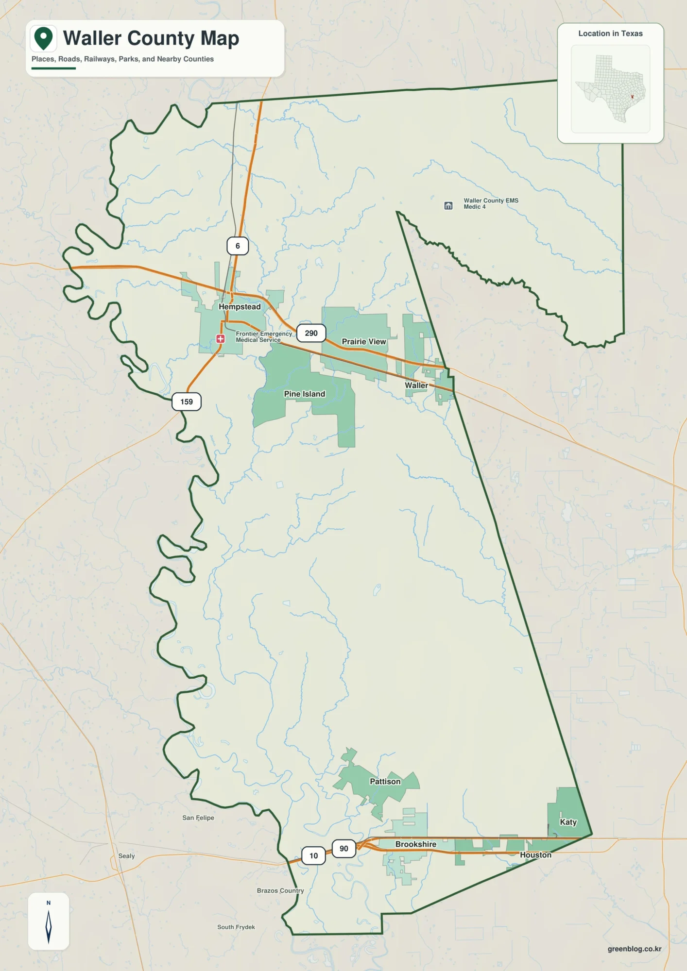
This page uses Hempstead as the northern road reference for a Waller County Map, then separates the Prairie View–Waller side
Hempstead, Brazos River, and Creek Valleys on a Waller County Map Read More »
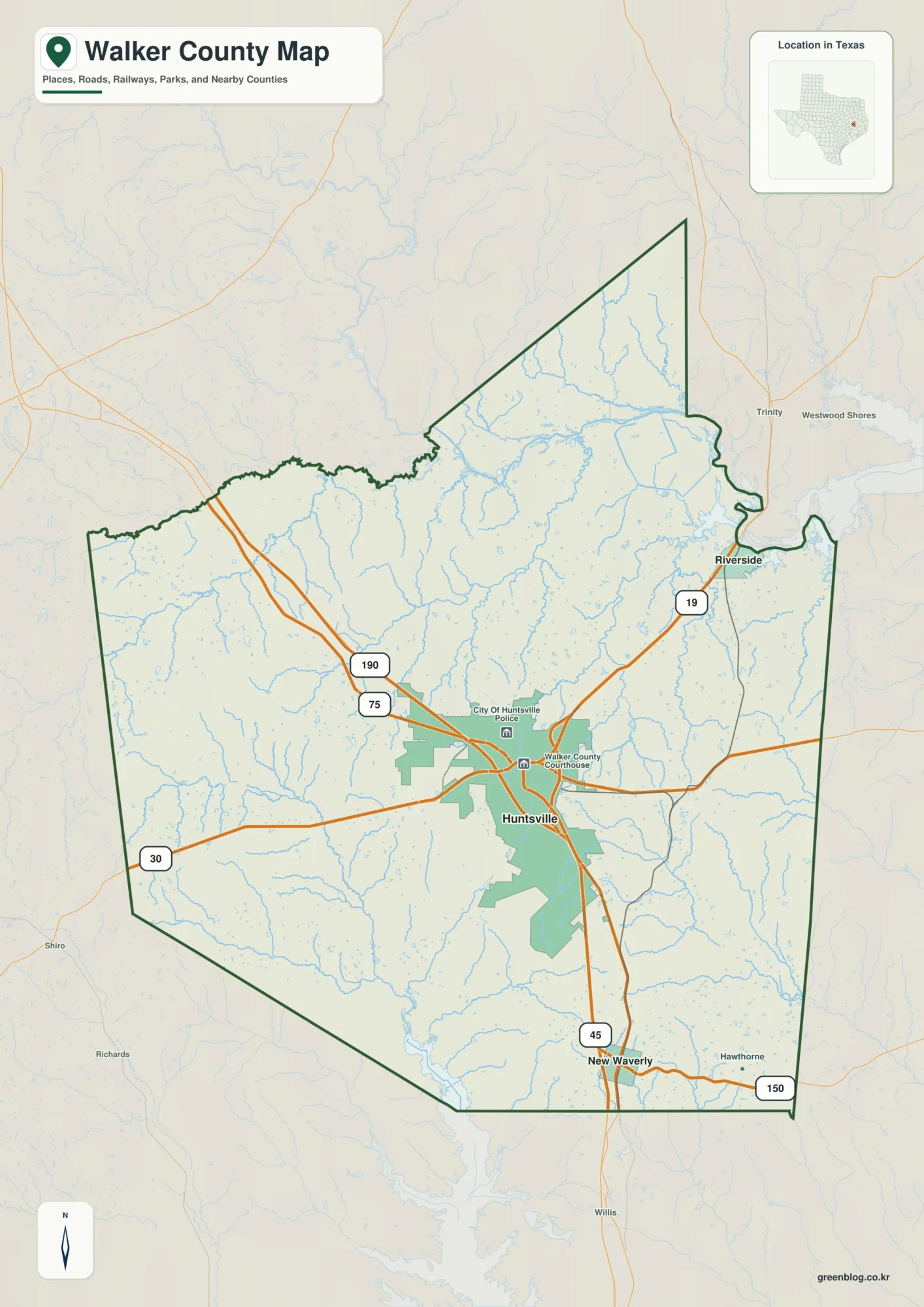
This page uses Huntsville as the hub for a Walker County Texas Map, then follows Interstate 45 south to New
Huntsville and Trinity River Valleys on a Walker County Texas Map Read More »
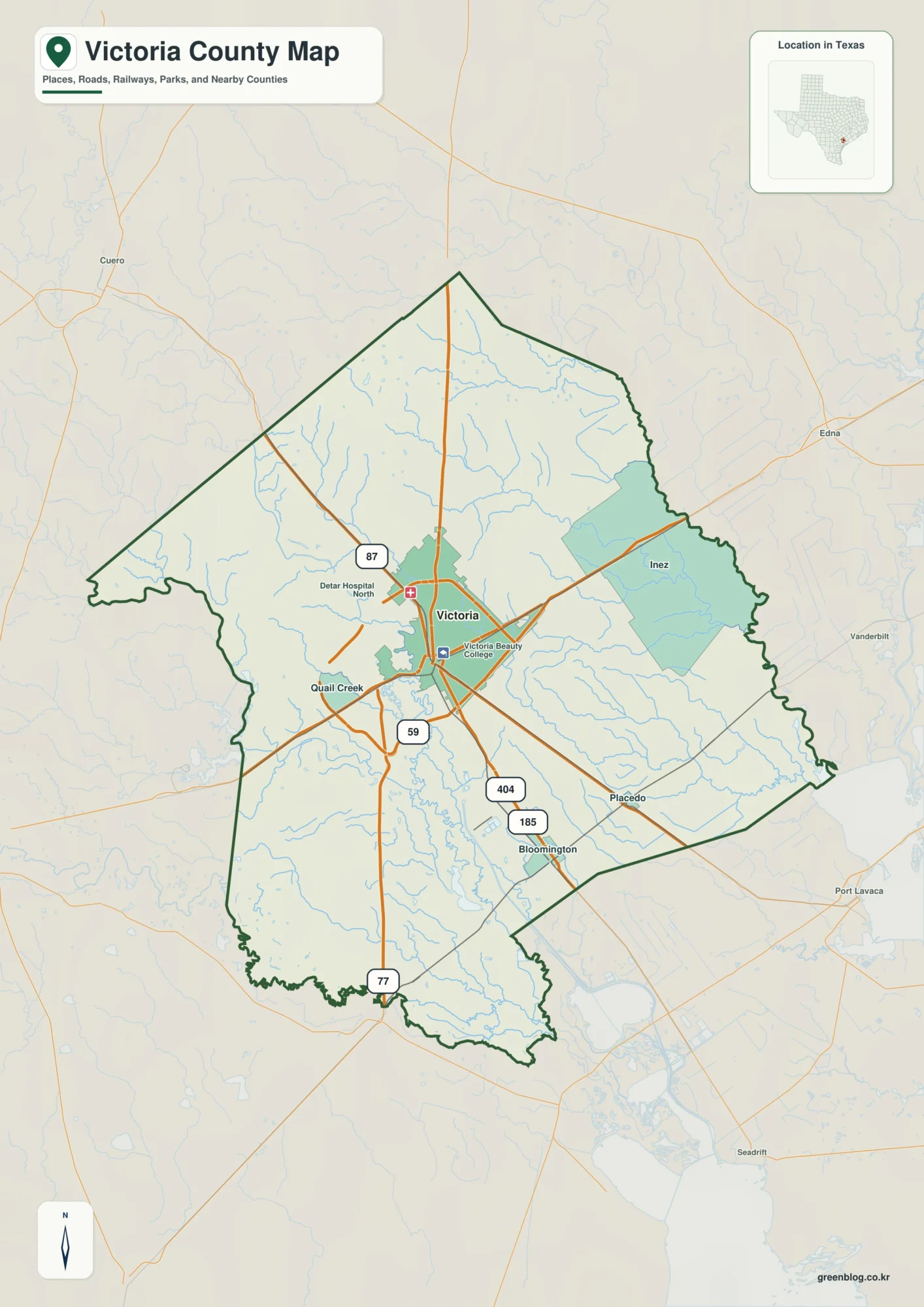
This Victoria County Map set uses the city of Victoria as the central road and settlement reference, then follows the
Guadalupe River and Victoria on a Victoria County Map Read More »
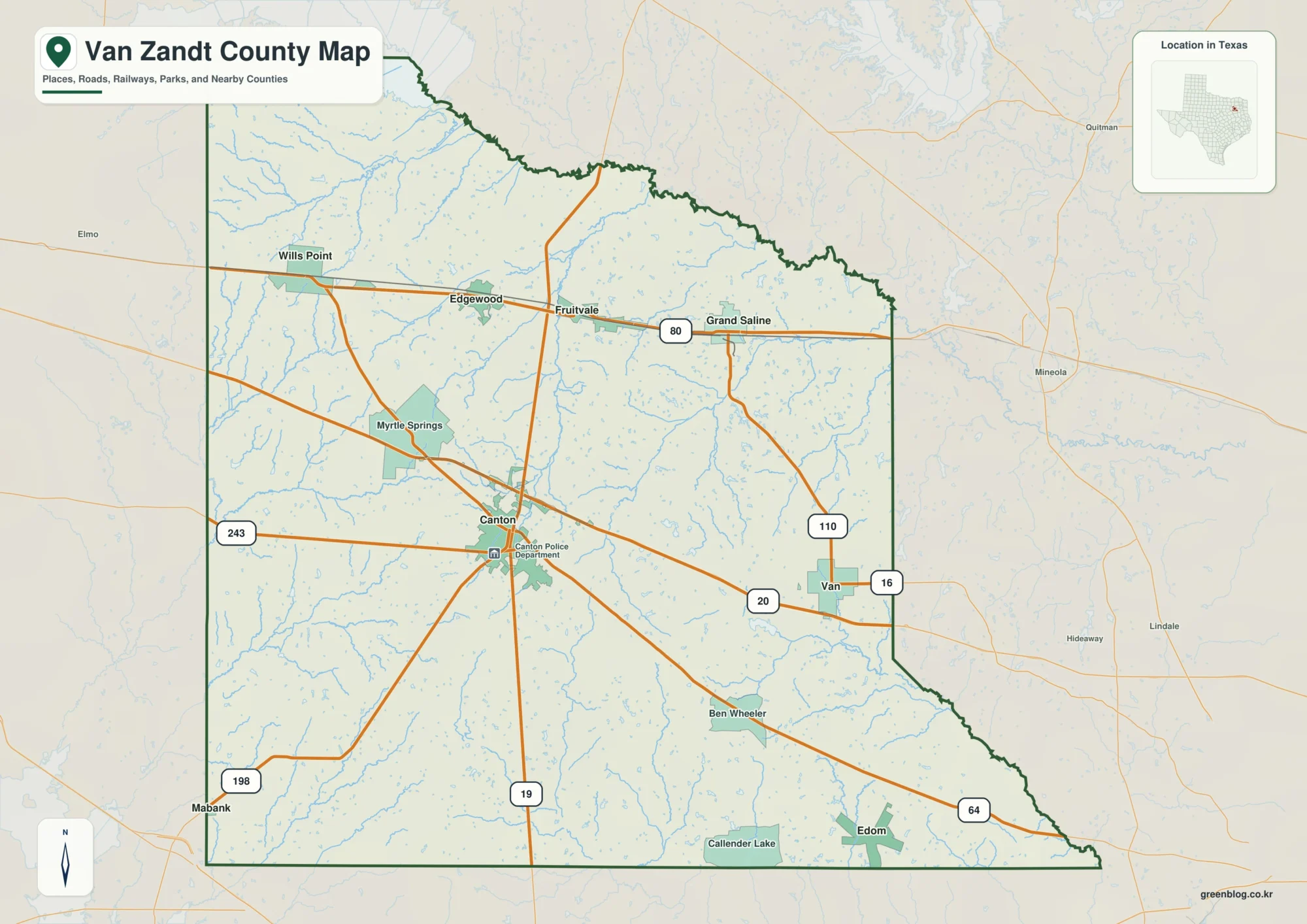
This page uses Canton as the central reference for a Van Zandt County Map, then follows the northern towns along
Canton, Grand Saline, and Creek Valleys on a Van Zandt County Map Read More »
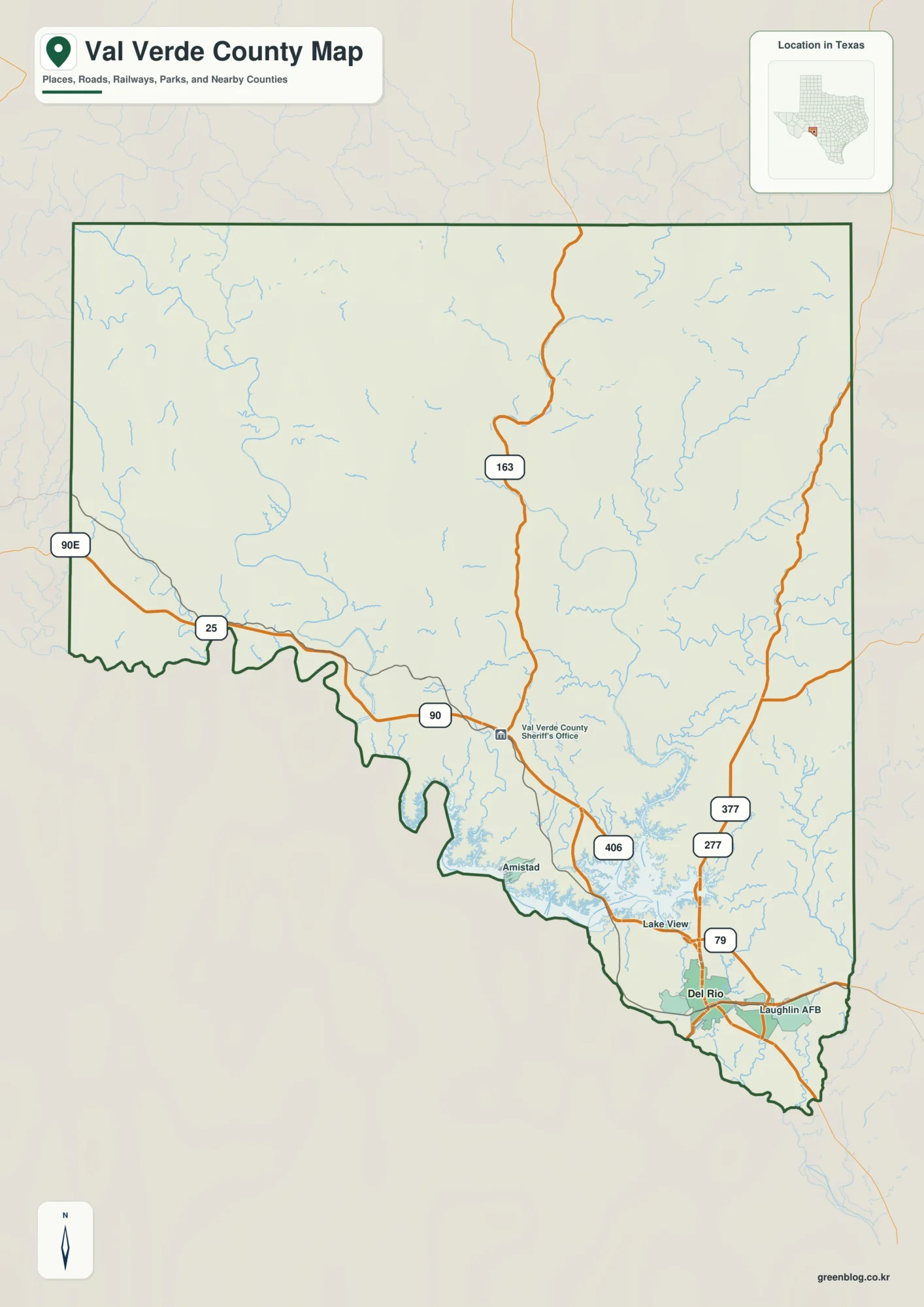
This Val Verde County Map set uses Del Rio as the main settlement and road reference, then expands northwest toward
Del Rio to Devils River: A Val Verde County Map of Canyon Country Read More »
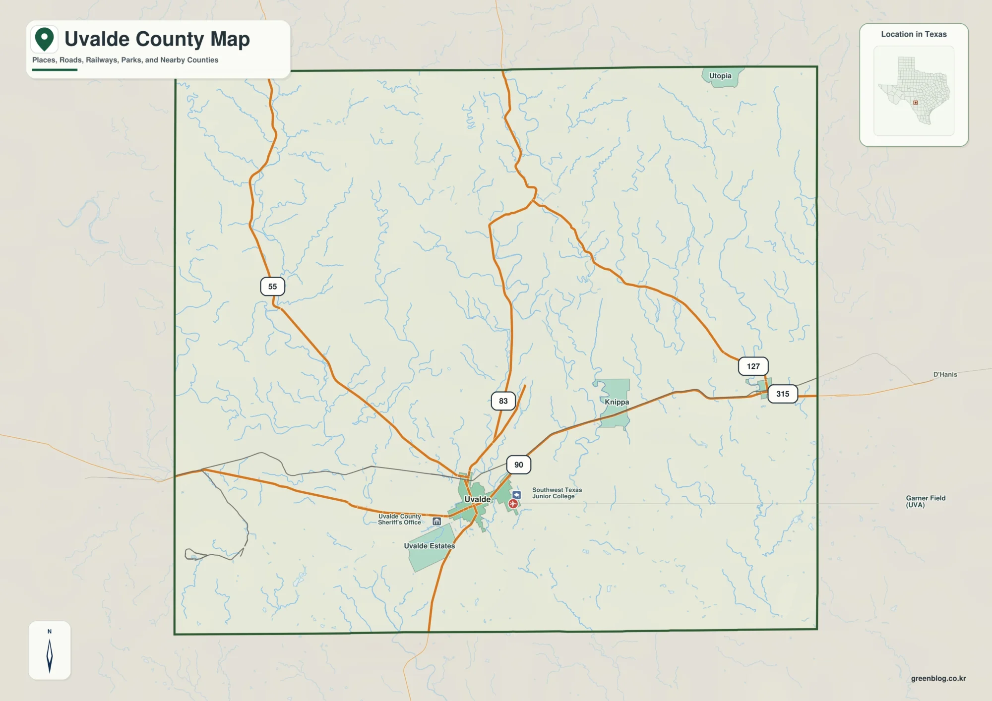
This page uses Uvalde as the main road and settlement reference for an Uvalde County Map, then follows the county
Nueces and Frio River Valleys on an Uvalde County Map Read More »
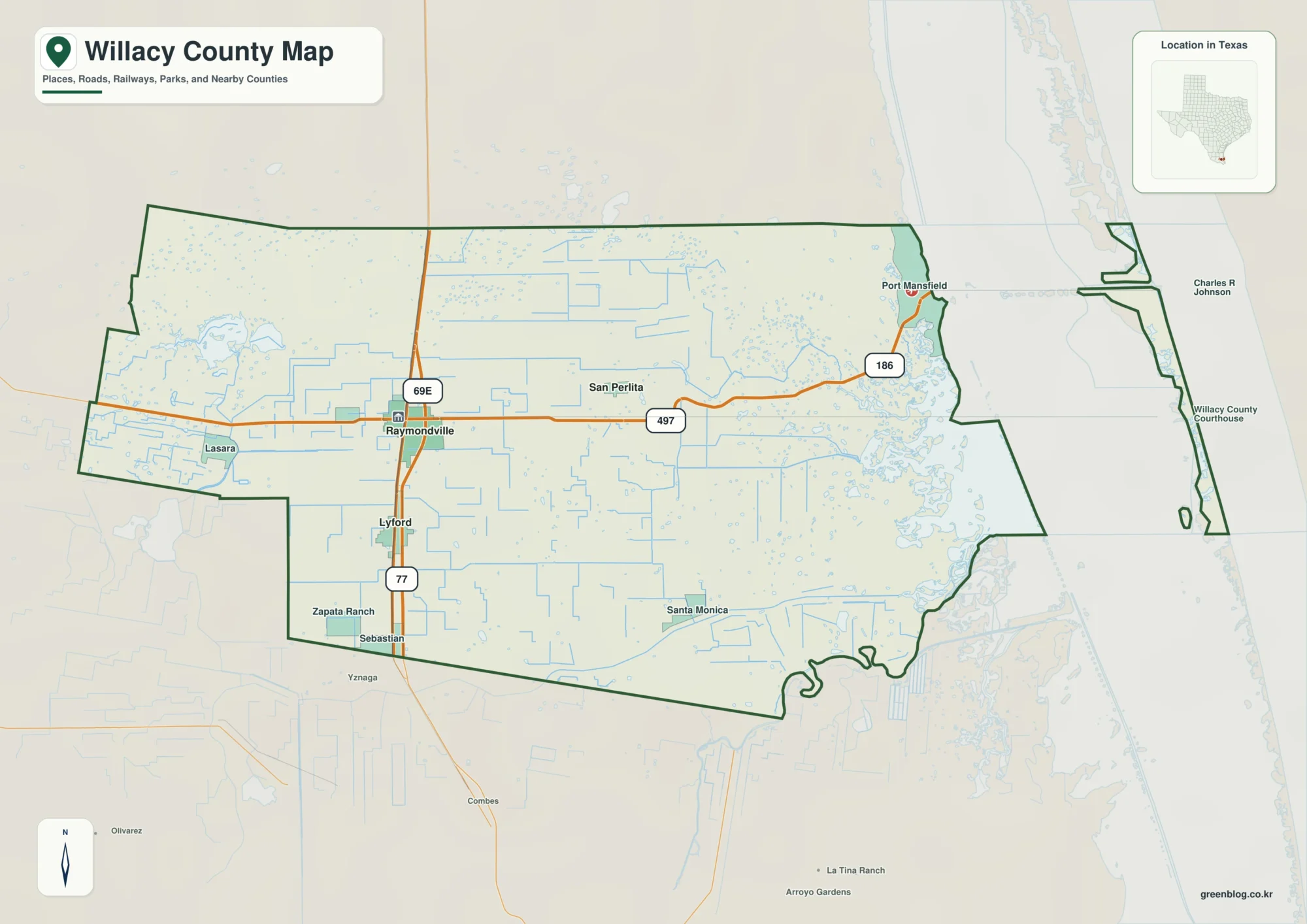
This page starts with Raymondville as the inland reference for a Willacy County Map, then follows the county south toward
Raymondville to Laguna Madre — Willacy County Map Read More »
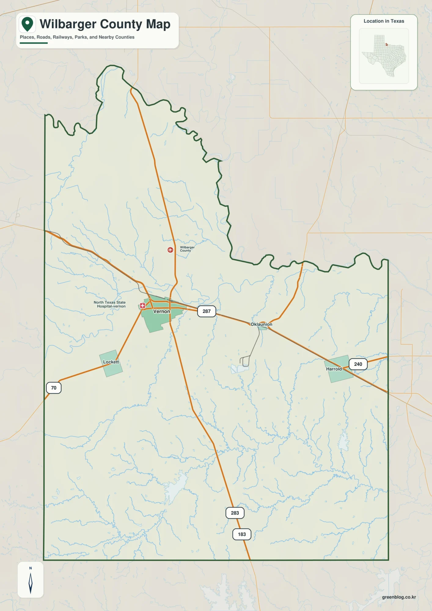
This page uses Vernon as the main reference for a Wilbarger County Map, then follows US 287 east toward Oklaunion
Wilbarger County Map: Vernon, Pease River, and Red River Lowlands Read More »