
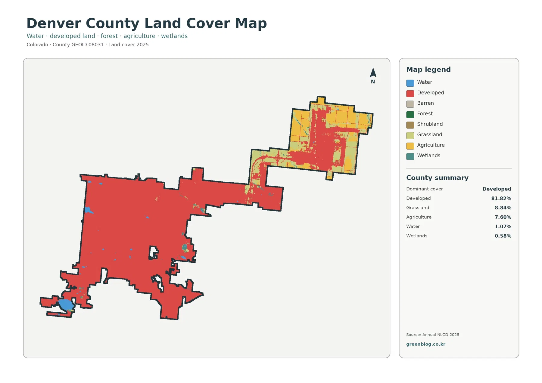
Denver County Colorado Land Cover Map: 81.82% Developed Cover, 41.00% Mean Imperviousness
Denver County is overwhelmingly developed in the 2025 land-cover summary, with developed cover accounting for 81.82% of the county. The […]
Denver County is overwhelmingly developed in the 2025 land-cover summary, with developed cover accounting for 81.82% of the county. The […]
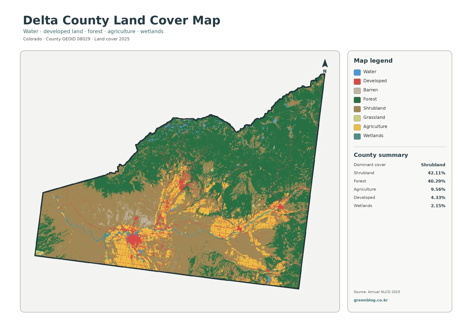
Delta County on Colorado’s Western Slope contains two land-cover types at nearly equal scale: shrubland accounts for 42.11% of the
Delta County Colorado Land Cover Map — Grand Mesa Forests, Shrubland and Farm Valleys Read More »
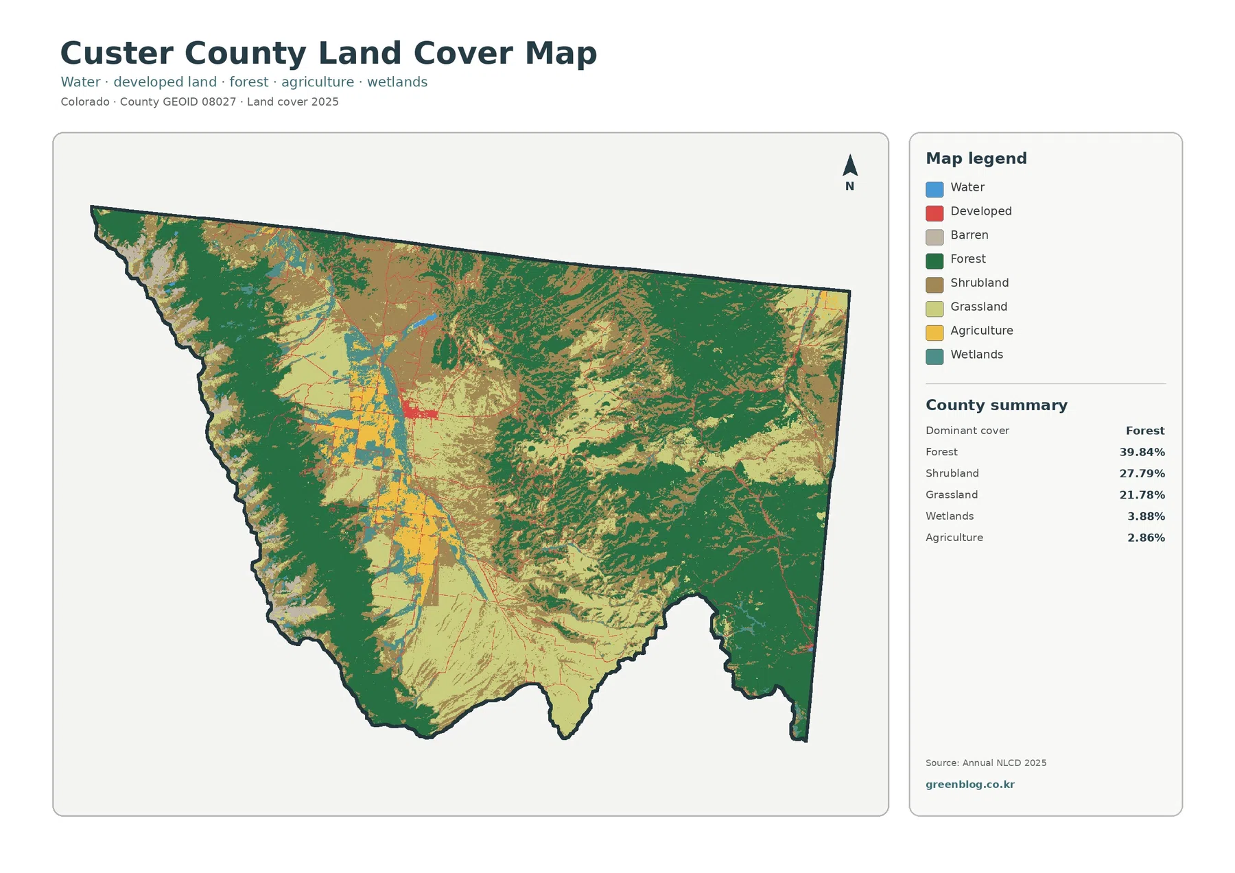
Custer County sits in a high mountain setting where the land-cover pattern changes sharply between the Wet Mountain Valley and
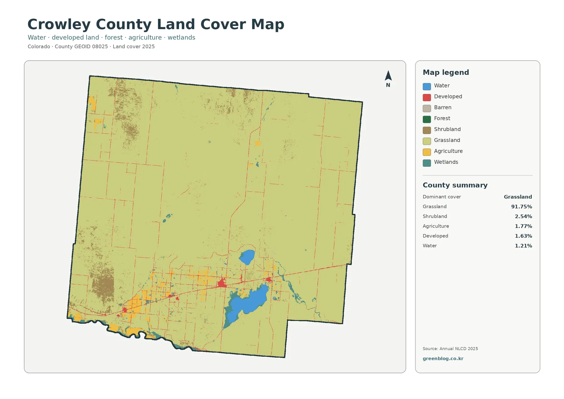
Crowley County’s 2025 land-cover picture is unusually simple at the county scale: grassland covers 91.75% of the mapped area. Most
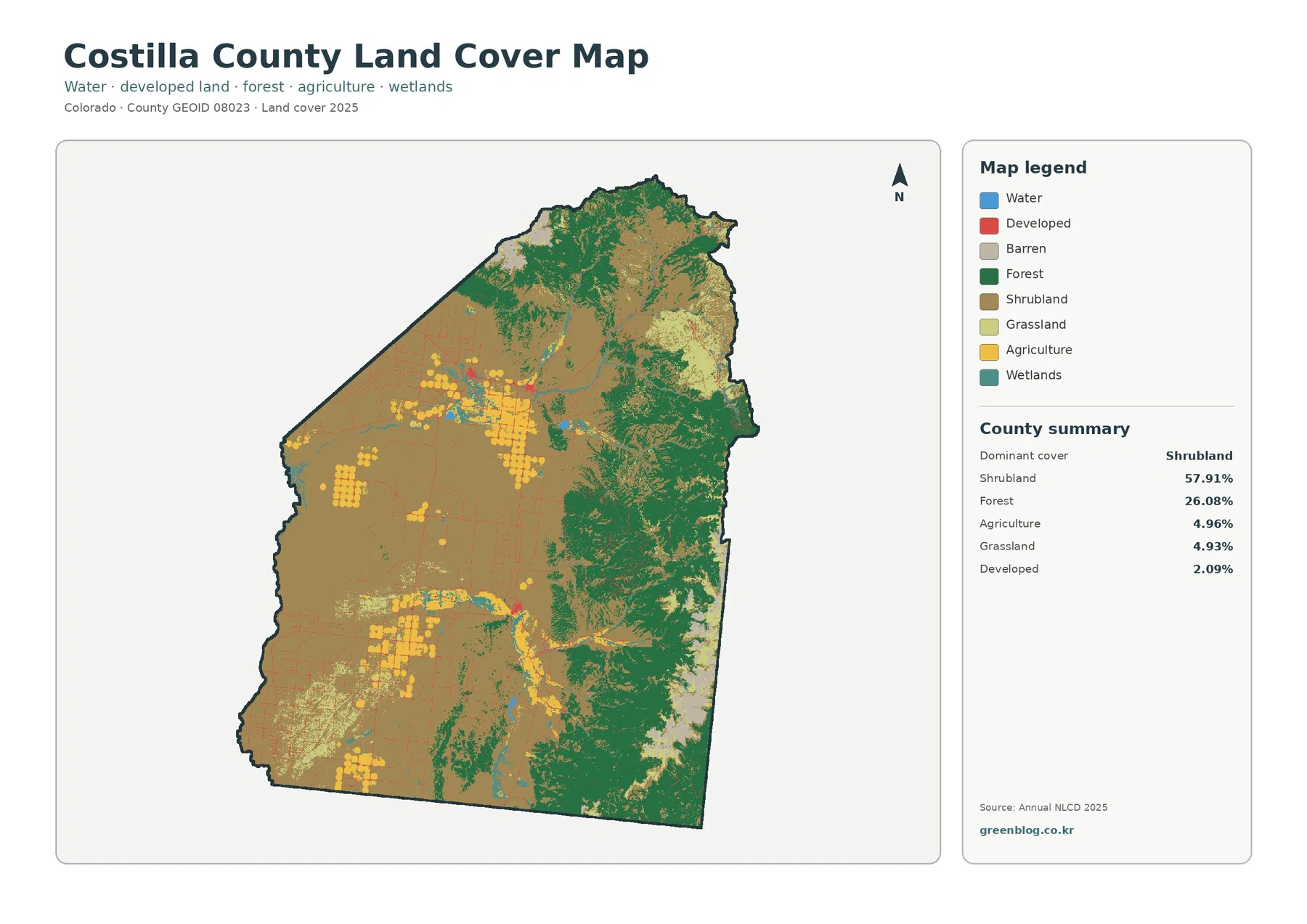
Costilla County’s 2025 land-cover picture is dominated by shrubland and forest rather than built surfaces. Shrubland accounts for 57.91% of
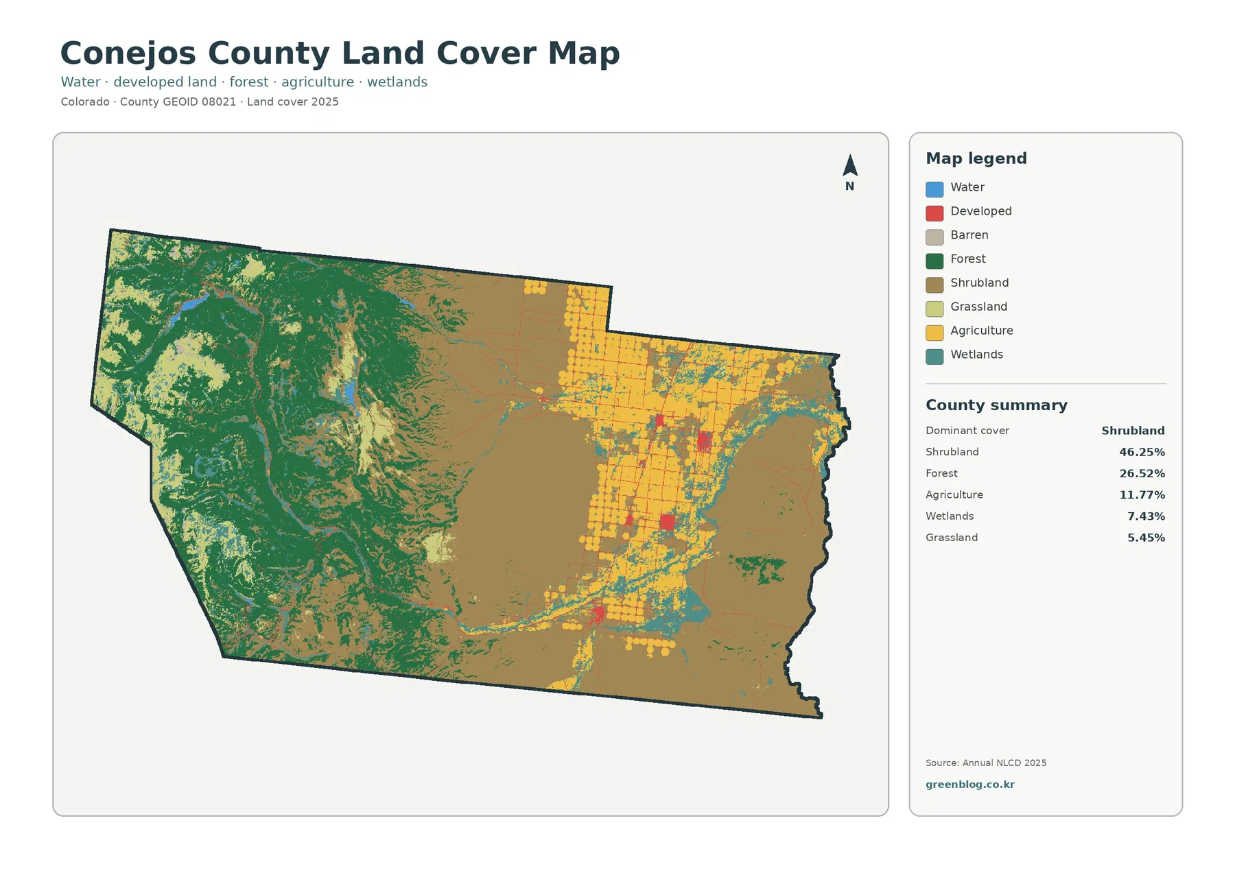
Conejos County is one of the Colorado counties where a single land-cover label tells only part of the story. Shrubland
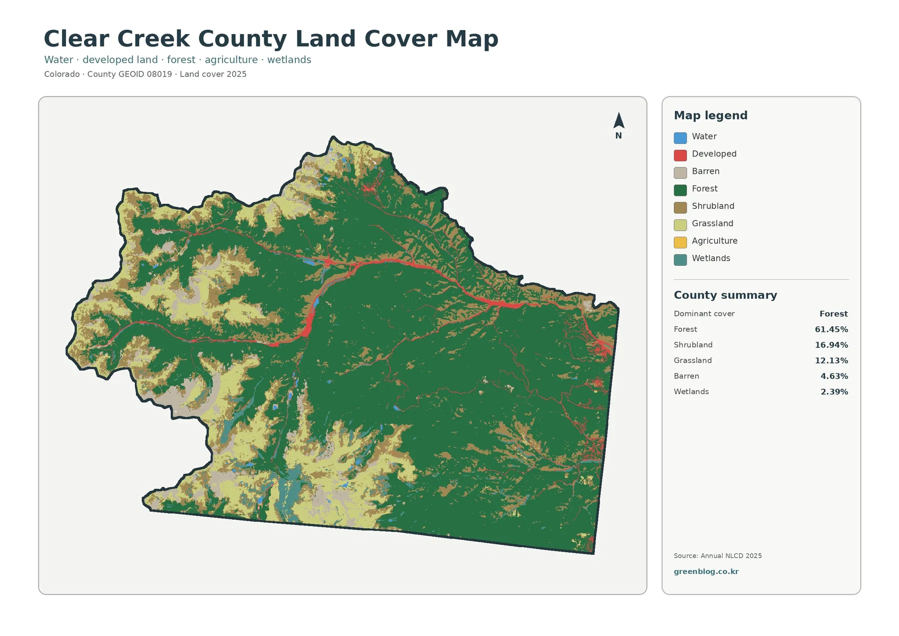
Clear Creek County is a mountain county where the 2025 land-cover layer is dominated by forest rather than agriculture or
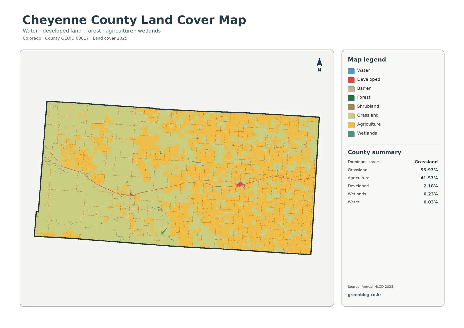
Cheyenne County in eastern Colorado is dominated by open land cover rather than dense development. The 2025 map summary lists
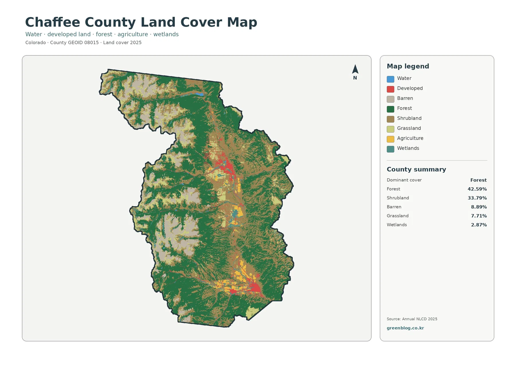
Chaffee County sits in central Colorado where broad mountain slopes surround the long Arkansas Valley. The 2025 land-cover summary is