
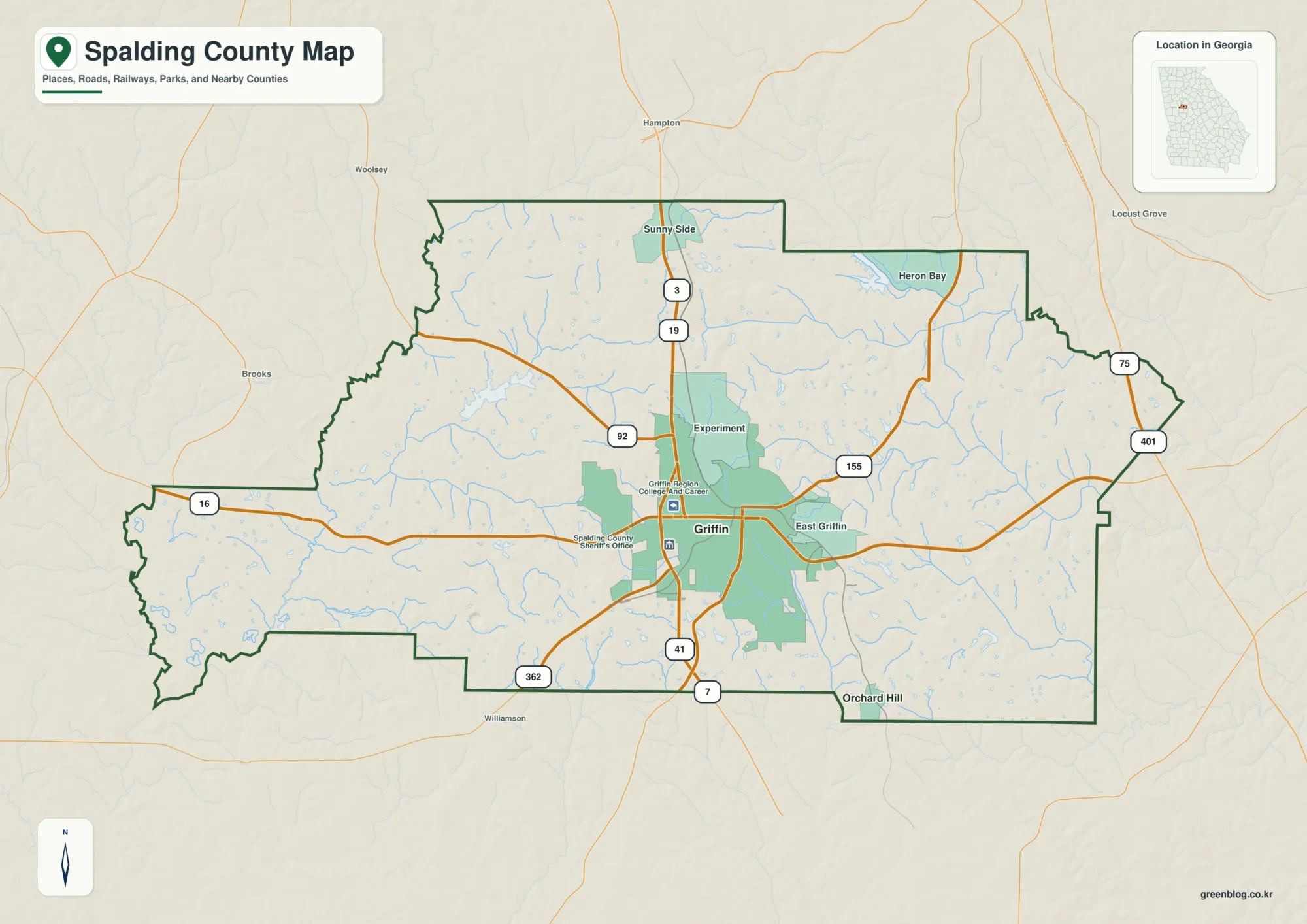
Roads, Rivers, and Rolling Ground on the Spalding County Map
You can download four high-resolution A3 JPG maps of Spalding County from this page in one ZIP: a county reference
Roads, Rivers, and Rolling Ground on the Spalding County Map Read More »
You can download four high-resolution A3 JPG maps of Spalding County from this page in one ZIP: a county reference
Roads, Rivers, and Rolling Ground on the Spalding County Map Read More »
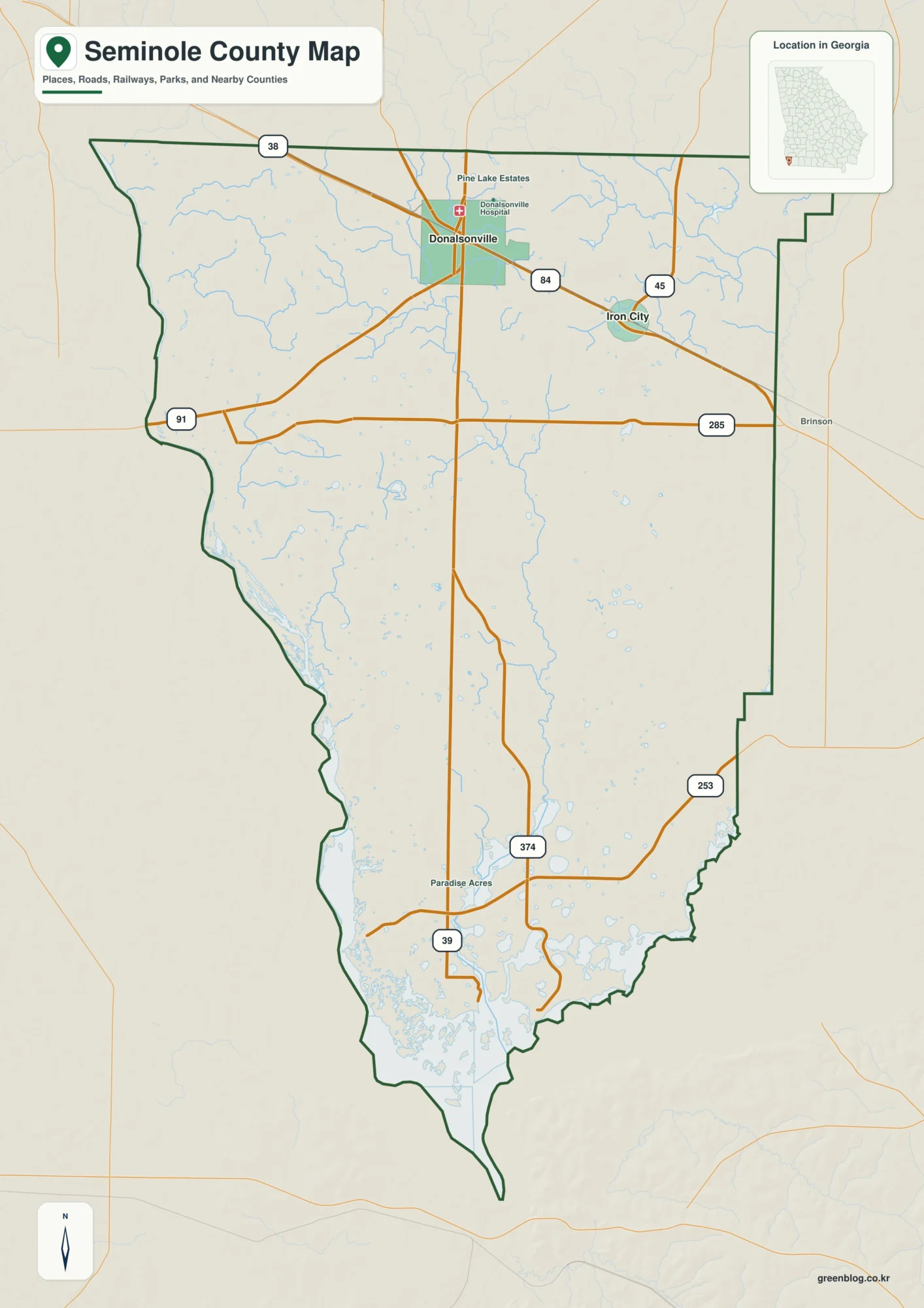
Seminole County sits in Georgia’s southwest corner, where the road network around Donalsonville and Iron City gives way to a
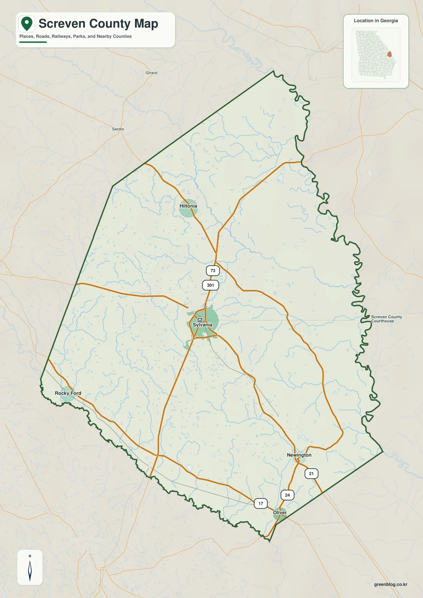
You can download one ZIP containing four high-resolution A3 JPG maps of Screven County, Georgia, directly from this page. The
Sylvania Roads and River Lowlands on a Screven County Map Read More »
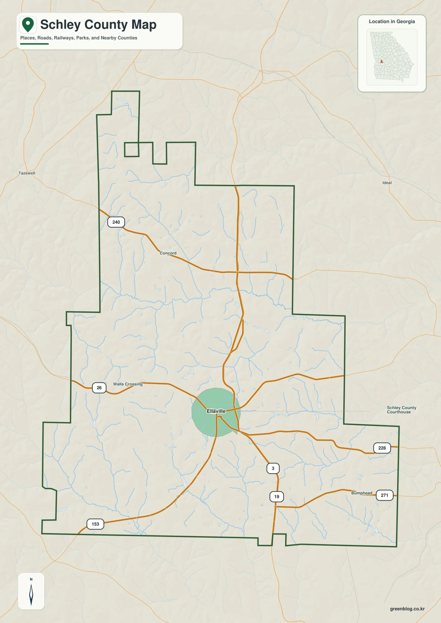
Schley County is a small west-central Georgia county whose geography becomes easier to understand once Ellaville, the road network, the
Schley County Map: Ellaville Roads, Buck Creek, and Rolling Terrain Read More »
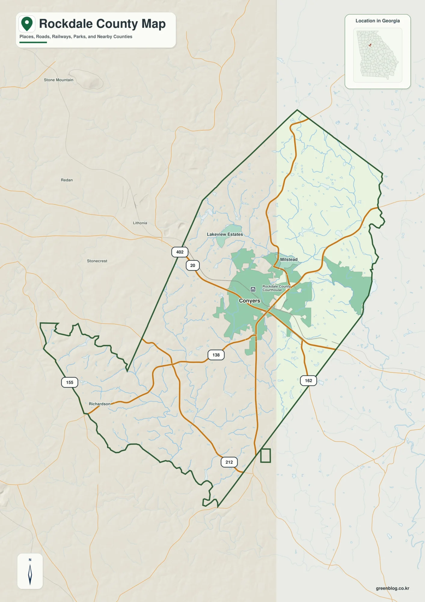
Rockdale County sits east of Atlanta, with Conyers as the clearest urban reference point on the supplied maps. This page
Conyers to Yellow River — Rockdale County Map and Rolling Terrain Read More »
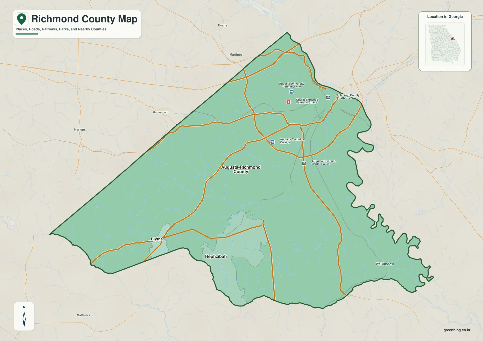
Richmond County sits on Georgia’s eastern side, where Augusta and the Savannah River provide the clearest geographic reference points. This
Richmond County Georgia Map: Augusta, Savannah River, and Local Relief Read More »
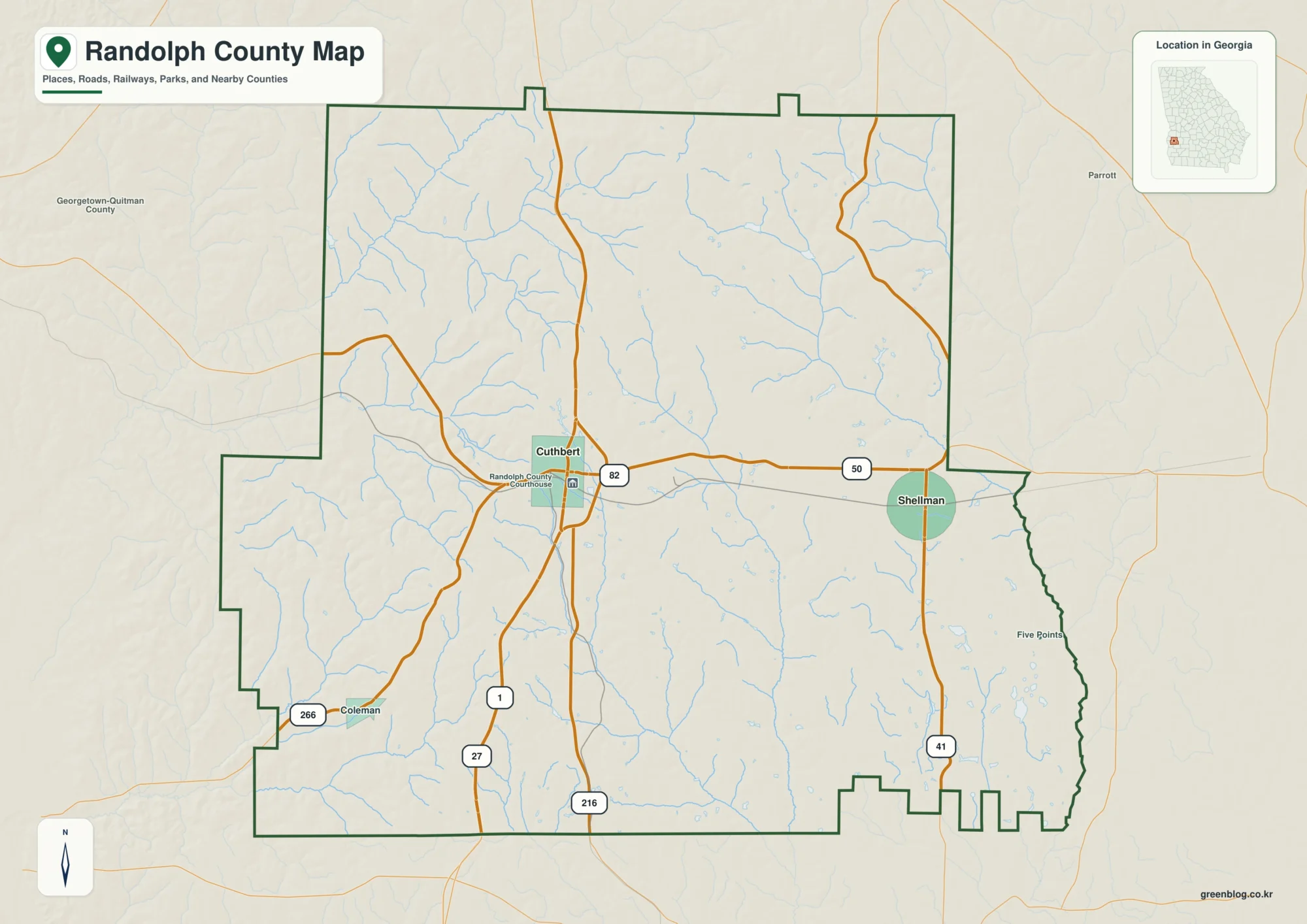
Randolph County sits in southwest Georgia, where Cuthbert and Shellman provide the clearest anchors for understanding the county. Cuthbert is
Randolph County Georgia Map — Cuthbert, Shellman, Creek Valleys, and Rolling Uplands Read More »
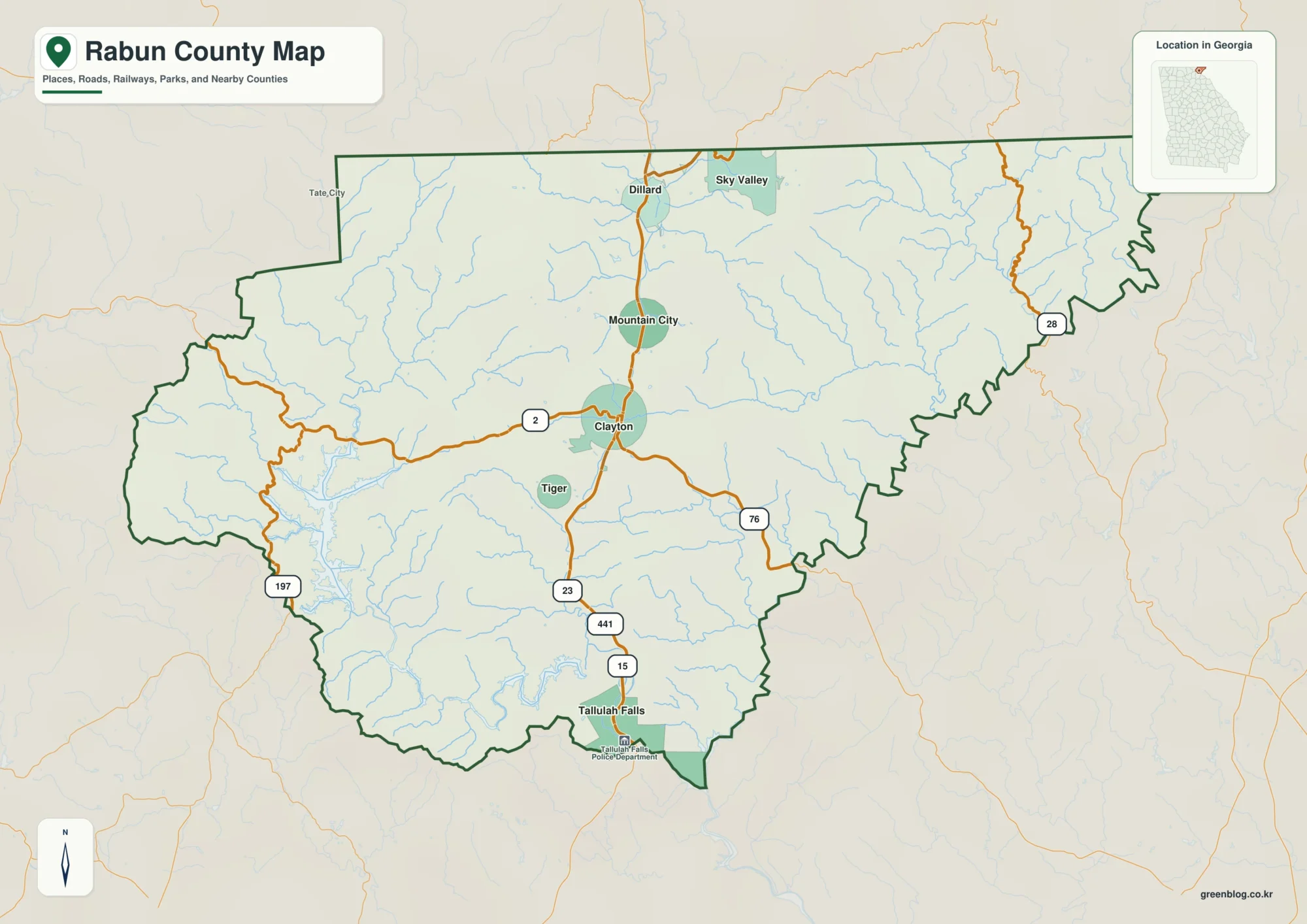
Rabun County sits in the mountainous northeastern corner of Georgia, where Clayton, a chain of smaller towns, large reservoirs, and
Rabun County Map: Clayton, Lake Country, and High Blue Ridge Terrain Read More »
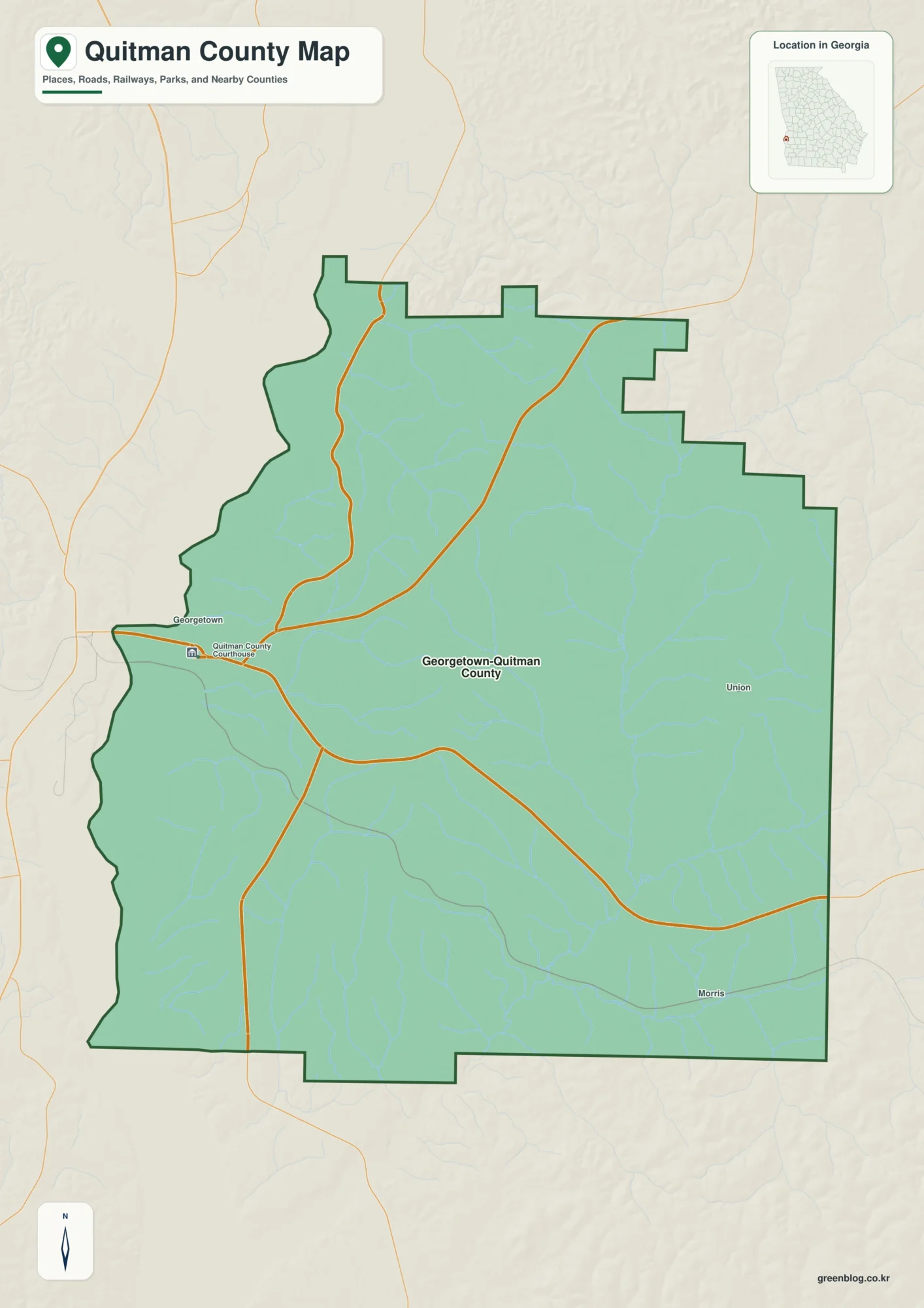
Quitman County sits in southwest Georgia beside the Alabama state line, with Georgetown serving as the county seat and the