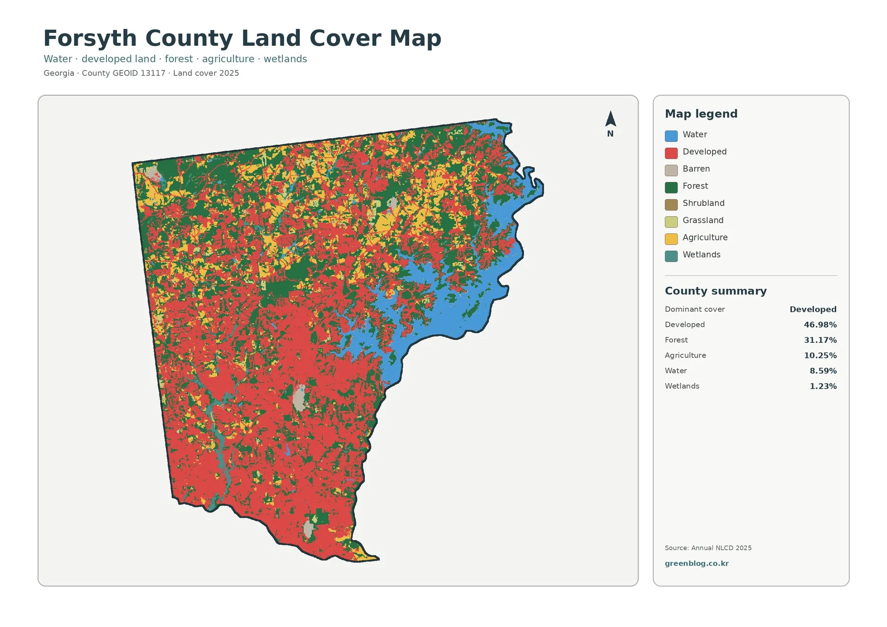
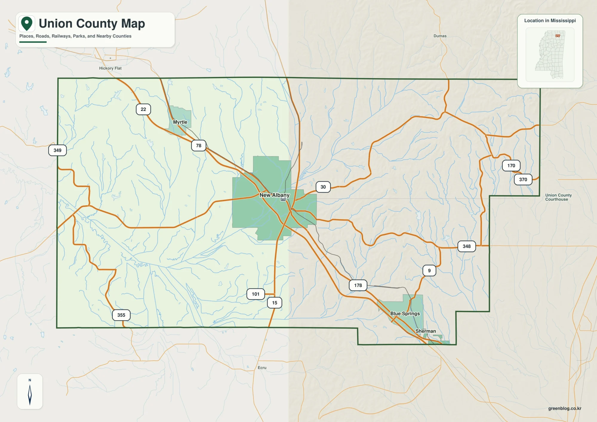
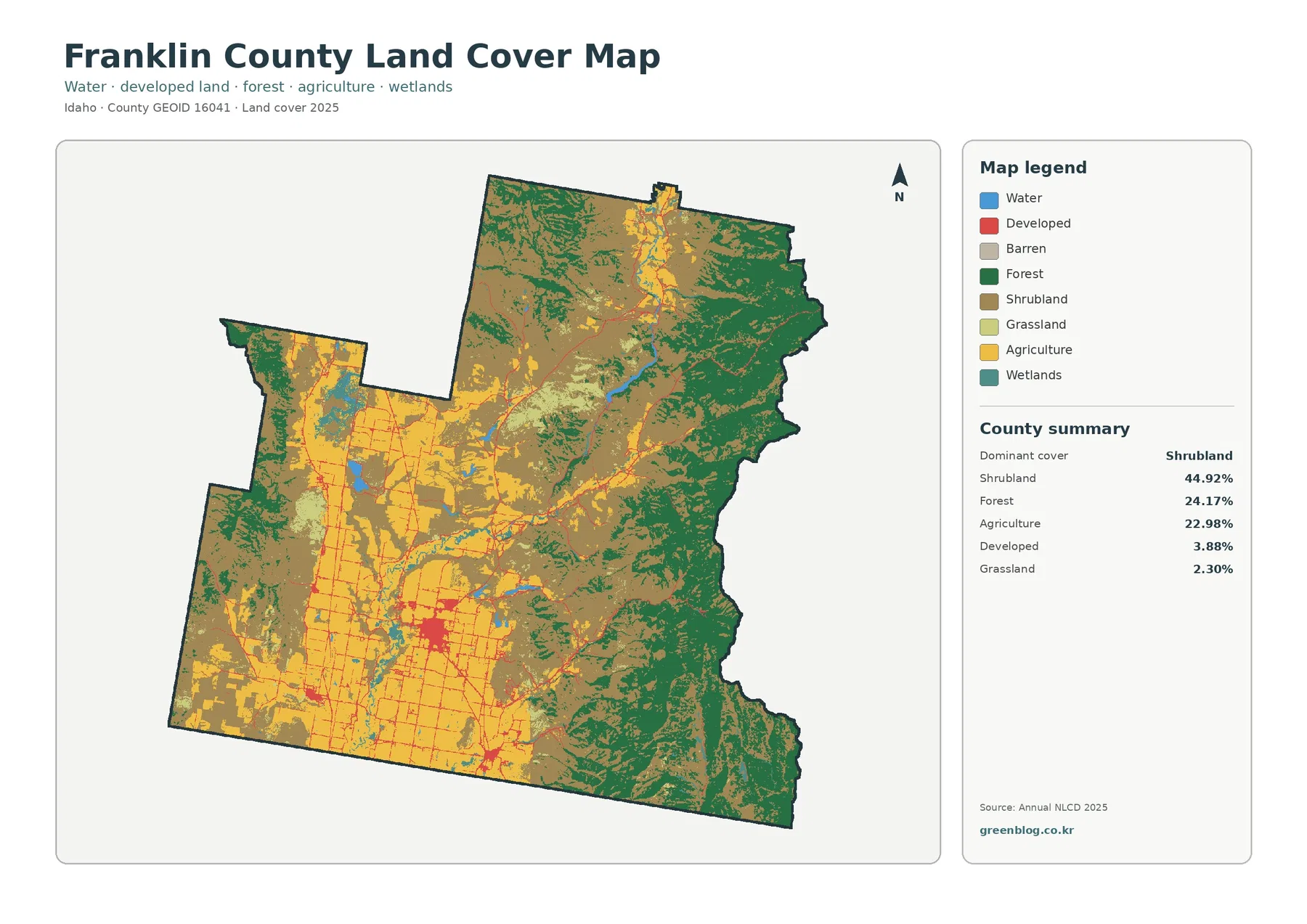
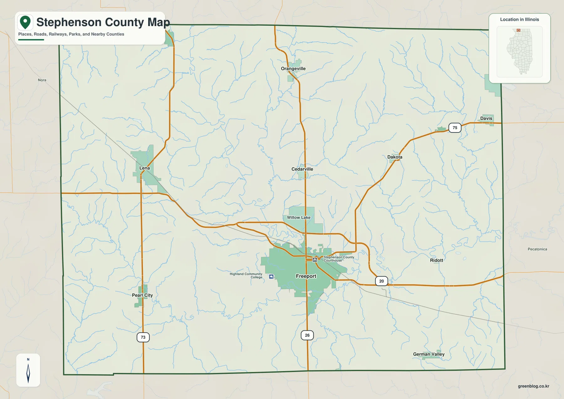
Clay County in northwestern Iowa is easiest to orient around Spencer, where the county’s main roads and its most prominent river corridors come together. U.S. 18 crosses the county from west to east through Spencer, while U.S. 71 runs north to south through the same area. Everly lies to the west, Dickens to the east, Fostoria to the north, and Royal and Peterson sit farther south and southwest. The maps on this page separate roads and places, major communities, waterways, and elevation so each layer is easier to read. High-resolution JPG versions of the same four maps are also available in the download box below.
The county becomes more distinctive when the maps are compared rather than treated as four isolated images. The road map establishes Spencer as the main reference point. The water map then shows the Ocheyedan River approaching from the west and meeting the Little Sioux River system near Spencer, while the elevation map traces the same river corridors as lower green ground. The city map reduces the scene to six prominent communities, which makes it useful for readers who want to learn the basic layout before dealing with smaller roads and streams.
Table of Contents
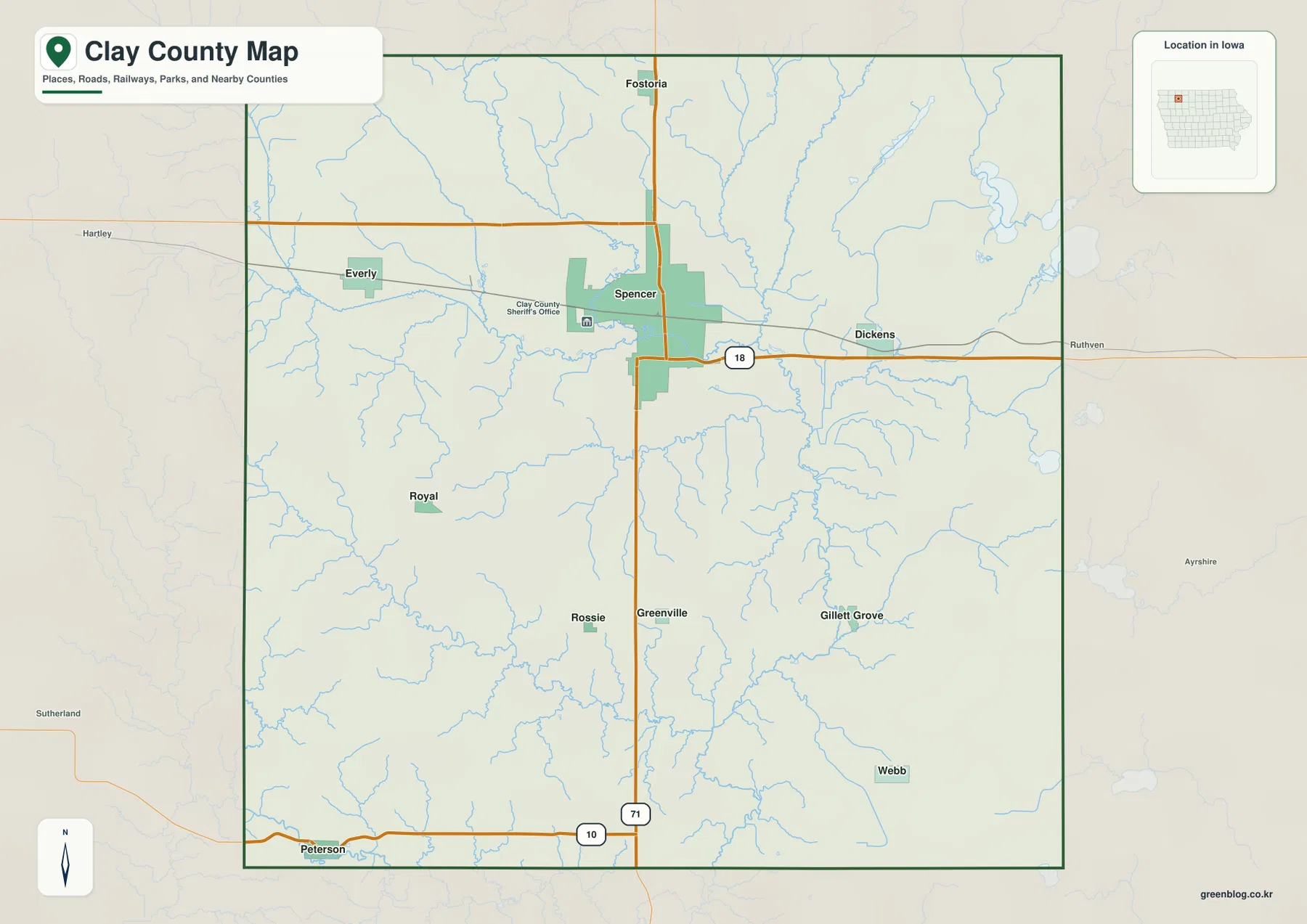
U.S. 18 and U.S. 71 make Spencer the easiest starting point
Spencer stands out near the north-central part of the county map. U.S. 18 approaches from the Everly side, passes through Spencer, and continues east toward Dickens. U.S. 71 comes down from the Fostoria direction, crosses the Spencer area, and continues toward the southern county line. Finding those two numbered highways first gives the map a simple frame: U.S. 18 provides the east-west reference, while U.S. 71 provides the north-south reference. From that frame, the smaller communities and local roads are much easier to place.
Everly appears west of Spencer near U.S. 18, while Dickens sits along the same general east-west corridor on the opposite side of Spencer. Royal is southwest of the county’s main city, and Peterson is close to the southern edge where Iowa 10 is shown entering from the west and approaching U.S. 71. Fostoria is north of Spencer near the north-south highway. The map also shows a dense network of local roads and small streams between these places, so the county does not read as a set of isolated towns connected only by two highways.
This is a county-orientation map, not a live navigation product. Construction, closures, turning restrictions, and other driving details can change, so current road information or a navigation service should be used for an actual trip. The county boundary is also shown for geographic context rather than for parcel or ownership decisions. It is best used to understand the broad relationship between towns, roads, waterways, and neighboring areas before moving to a more specialized source.
Six labeled communities spread outward from Spencer
The city map highlights Spencer, Royal, Everly, Peterson, Fostoria, and Dickens with ranked markers. Spencer is the dominant label and the clearest central reference. Everly sits to the west and Dickens to the east, while Fostoria is north of Spencer. Royal appears in the southwest interior, and Peterson is positioned close to the southern boundary. This simplified arrangement is useful when the full road map feels busy because it lets a reader learn the town pattern before returning to the highways and local road grid.
County names outside the boundary provide a wider regional frame. Dickinson County is labeled to the north, O’Brien County to the west, and Buena Vista and Cherokee counties appear to the southwest side of the surrounding view. Palo Alto and Pocahontas counties are labeled east of Clay County. These names are most useful as orientation cues rather than as a substitute for an official boundary survey. They show where Clay County sits within the broader northwestern Iowa county grid and help explain the direction of travel beyond the edge of the local map.
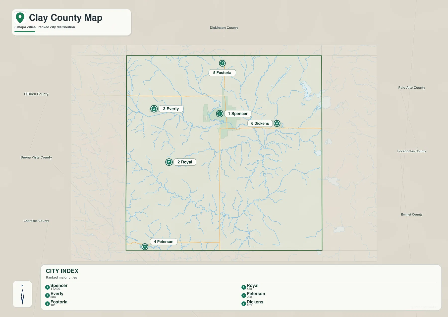
Using the city and road maps together quickly turns names into routes. Everly and Dickens become easy to remember as communities on opposite sides of Spencer along the U.S. 18 corridor. Fostoria aligns with the northward U.S. 71 direction, while Peterson sits near the southern part of the map where Iowa 10 is visible. Royal is set away from the main highway crossing in the southwest. Those differences give each community a clear position instead of reducing the county to a list of place names.
The Ocheyedan and Little Sioux rivers define the central water corridor
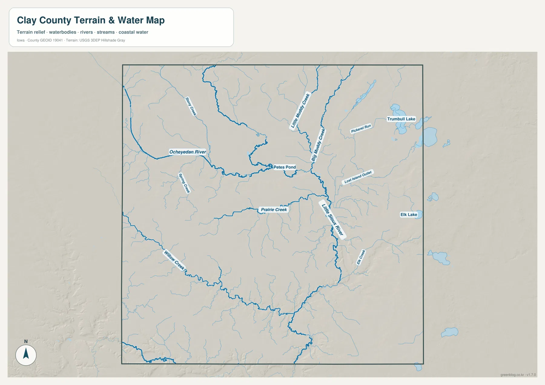
The terrain-and-water map shifts attention away from highways and toward the county’s drainage. The Ocheyedan River enters from the west and follows a winding course toward Spencer. Near the Spencer area it joins the Little Sioux River system, which then continues south through the county as the strongest north-south water feature on the map. That junction gives the water map its clearest organizing point. A reader who has already located Spencer on the road map can move directly to the same area and understand how the city’s road position overlaps a major river confluence.
Several smaller named waters add detail around the two main rivers. Little Muddy Creek and Big Muddy Creek are labeled in the northern and northeastern part of the map. Pickrel Run and Lost Island Outlet appear farther east, and Trumbull Lake is marked in the northeast. Elk Lake is labeled along the eastern side, while Petes Pond is shown near the central river corridor close to Spencer. Farther south, Prairie Creek and Willow Creek are among the named streams that feed the larger drainage pattern.
These labels make the map useful for locating water features, but they should not be read as flood-zone boundaries, legal water boundaries, depth information, or navigation guidance. The map is designed to show where rivers, creeks, lakes, and ponds sit relative to one another. Flood regulation, current water conditions, and property-related decisions require the specialized sources used for those purposes. Keeping that distinction in mind makes the water map informative without asking it to answer questions it was not designed to answer.
The 370–452 meter relief follows the river valleys
The elevation map gives Clay County an actual displayed range of about 370 to 452 meters, with a mean of 419 meters. The lowest green tones are concentrated around the Spencer-area river junction and continue south along the Little Sioux River valley. A lower corridor also extends westward along the Ocheyedan River. Because these green areas follow the same shapes seen on the water map, the connection between drainage and local relief is unusually easy to recognize in Clay County.
Higher yellow-brown and brown ground spreads away from the main river valleys. Elevated areas are especially noticeable across western uplands and along parts of the northern edge, with additional ridges and higher ground between stream valleys elsewhere in the county. The result is not a dramatic mountain landscape, but it is also not a perfectly flat surface. Broad uplands are cut by lower river and creek corridors, producing a pattern that becomes much clearer in shaded relief than it does on the standard road map.
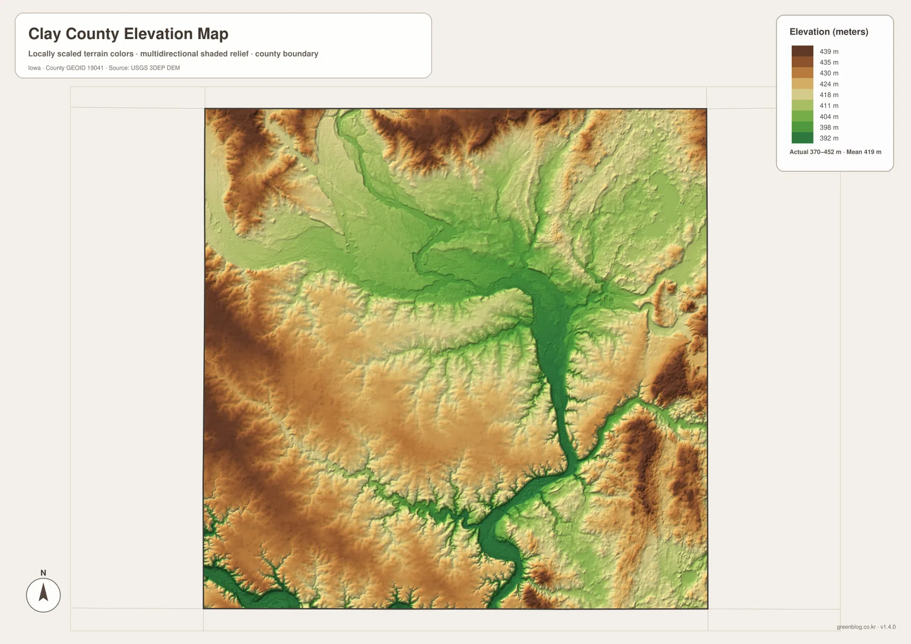
The elevation colors are intended for county-scale comparison. They are useful for seeing which broad areas are higher or lower and for relating valleys to streams, but they are not survey-grade measurements for an individual property or construction site. Engineering design, drainage calculations, precise slope work, and legal surveying require the original elevation data or a professional survey. For general geographic reading, however, the map clearly explains why the Ocheyedan and Little Sioux corridors stand out as lower ground.
Roads and rivers point to the same Spencer-centered geography
Clay County is a good example of why road and physical maps are more useful when read together. On the standard map, Spencer is where U.S. 18 and U.S. 71 create the clearest road reference. On the water map, the Ocheyedan and Little Sioux rivers meet in the same general area. On the elevation map, the lower green valley floor also converges there. Three different map themes therefore lead the reader to the same part of the county for three different reasons: transportation, drainage, and relief.
The county’s official history adds another piece of context. Clay County was organized in 1858, and the county seat moved to Spencer in 1871 after an election. That historical detail helps explain why Spencer remains such an important reference on modern county maps, although the maps themselves are about present-day location rather than a complete history of settlement. The useful point for a map reader is that the administrative center, the principal road crossing, and the main river junction are all concentrated in the same part of the county.
The smaller communities become clearer once that framework is established. Everly and Dickens can be compared across the east-west U.S. 18 corridor. Fostoria is associated with the northward U.S. 71 direction, and Peterson anchors the southern side near Iowa 10. Royal sits southwest of Spencer away from the main highway crossing. Switching to the elevation map then shows that these roads do not simply cross a featureless plain; they pass between higher uplands and lower stream valleys throughout the county.
Choose the map by the question you need to answer
For a first look at Clay County, start with the standard county map and find Spencer, U.S. 18, and U.S. 71. Once those three references are familiar, Everly, Dickens, Fostoria, Royal, and Peterson fall into place quickly. If the goal is simply to learn where the major communities sit, the city map removes much of the road detail and gives a cleaner introduction. Moving back to the standard map afterward shows how those communities connect through the road network.
For rivers, lakes, and creeks, the terrain-and-water map is the better starting point. It labels the Ocheyedan River, Little Sioux River, Trumbull Lake, Elk Lake, and a number of smaller tributaries without forcing the reader to search through the full road network. If the question is why some river corridors appear so distinct, the elevation map provides the next step by showing lower green terrain along the same valleys. That pairing is particularly useful around Spencer, where the river junction and lower ground coincide.
The WebP images in the article are sized for convenient viewing in a browser. For printing, classroom use, presentations, or offline reference, the ZIP below contains the higher-resolution JPG versions. The files are separated into a standard county map, city map, terrain-and-water map, and elevation map, so there is no need to use every image for every purpose. They remain reference maps rather than legal, engineering, flood-regulation, or live-traffic products, and authoritative current data should be used whenever a decision depends on exact measurements or regulations.
Frequently Asked Questions
Which map best shows where the Ocheyedan River meets the Little Sioux River?
The terrain-and-water map is the clearest choice. It shows the Ocheyedan River approaching from the west and the Little Sioux River continuing south from the Spencer area, with nearby streams and Petes Pond for added reference. After locating the junction there, the standard county map can be used to compare the same area with U.S. 18, U.S. 71, and the Spencer street area.
Where does the lowest terrain appear on the elevation map?
The lowest green tones are concentrated near the Spencer-area river junction and extend south along the Little Sioux River valley. Lower ground also follows the Ocheyedan River westward. The map is intended to show broad relative elevation, so an exact property elevation should be checked in original USGS data or with a professional survey rather than read from this county-scale image.
Which map is quickest for finding Everly, Royal, Peterson, Fostoria, and Dickens?
The city map is the fastest overview because it places those five communities around Spencer with clear numbered labels. Once their relative directions are familiar, switch to the standard county map to see how Everly and Dickens relate to U.S. 18, how Fostoria sits along the northward U.S. 71 direction, and how Peterson and Royal fit into the southern half of the county.
Map File Information
Download the high-resolution JPG versions of the standard county map, city map, terrain-and-water map, and elevation map in one ZIP archive.
- Included Files: 4 high-resolution JPG maps
Related Maps
Sources and references
The following official sources provide background on Clay County and on the boundary, hydrography, and elevation datasets used for geographic reference.
- Official Clay County, Iowa website
- Clay County history and resources
- U.S. Census Bureau TIGER/Line Shapefiles
- USGS National Hydrography
- USGS 3D Elevation Program
These maps are intended for geographic orientation and general reference. For current administrative boundaries, road conditions, flood regulation, property ownership, or precise elevation, use the latest records and data from the responsible agency.
Green Map creates custom-edited map images using open geographic data sources such as geoBoundaries, Natural Earth, OpenStreetMap, and government open data.
These maps are edited visual materials, not raw data files, and are provided for education, documents, presentations, and graphic reference.