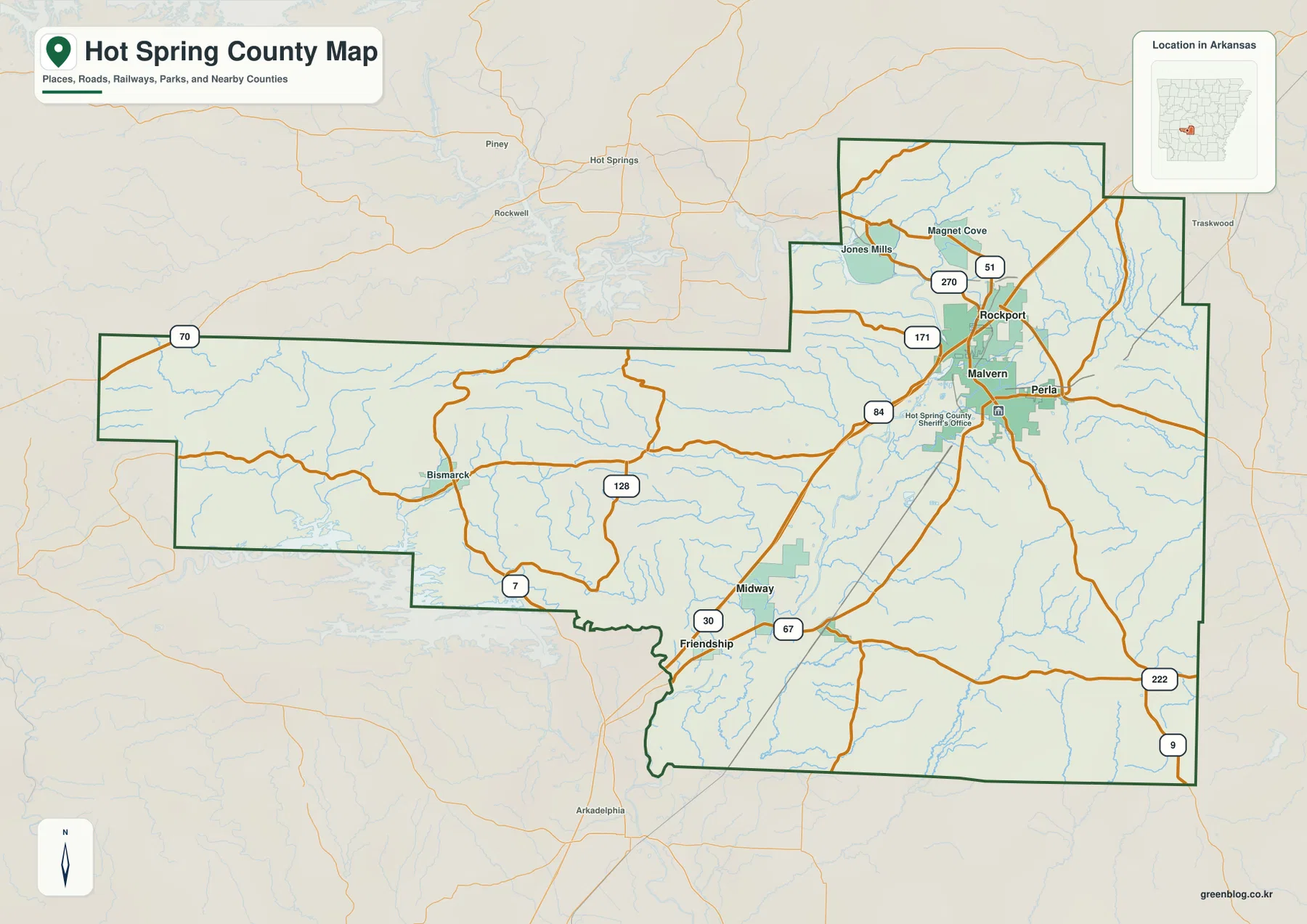
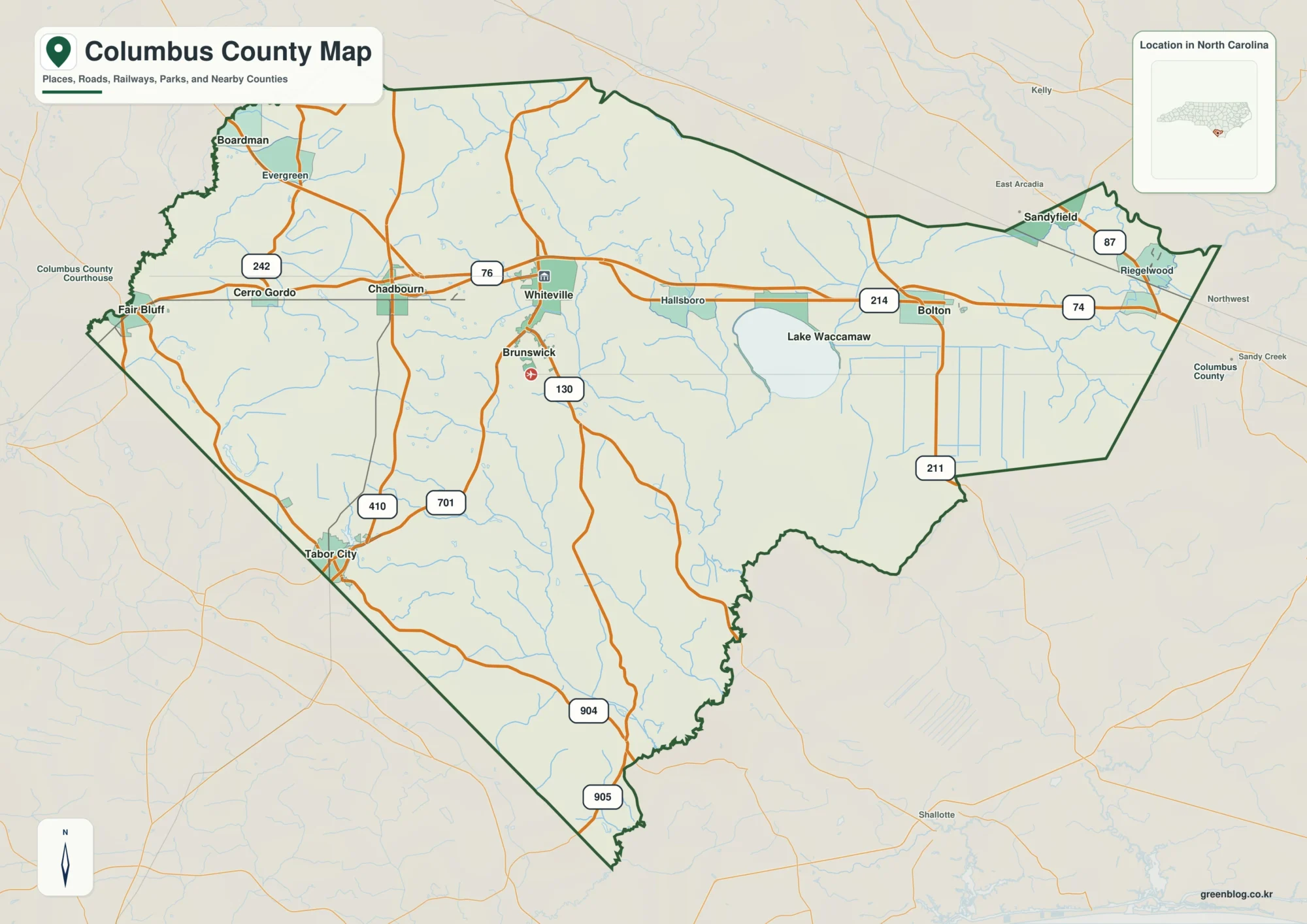
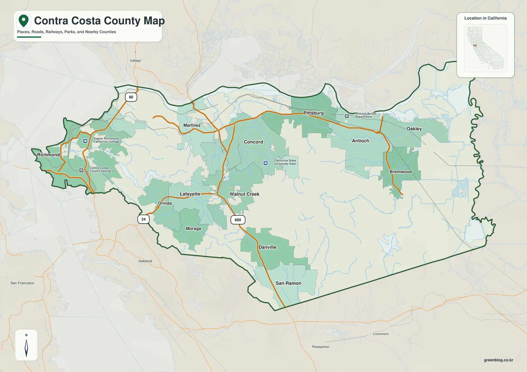
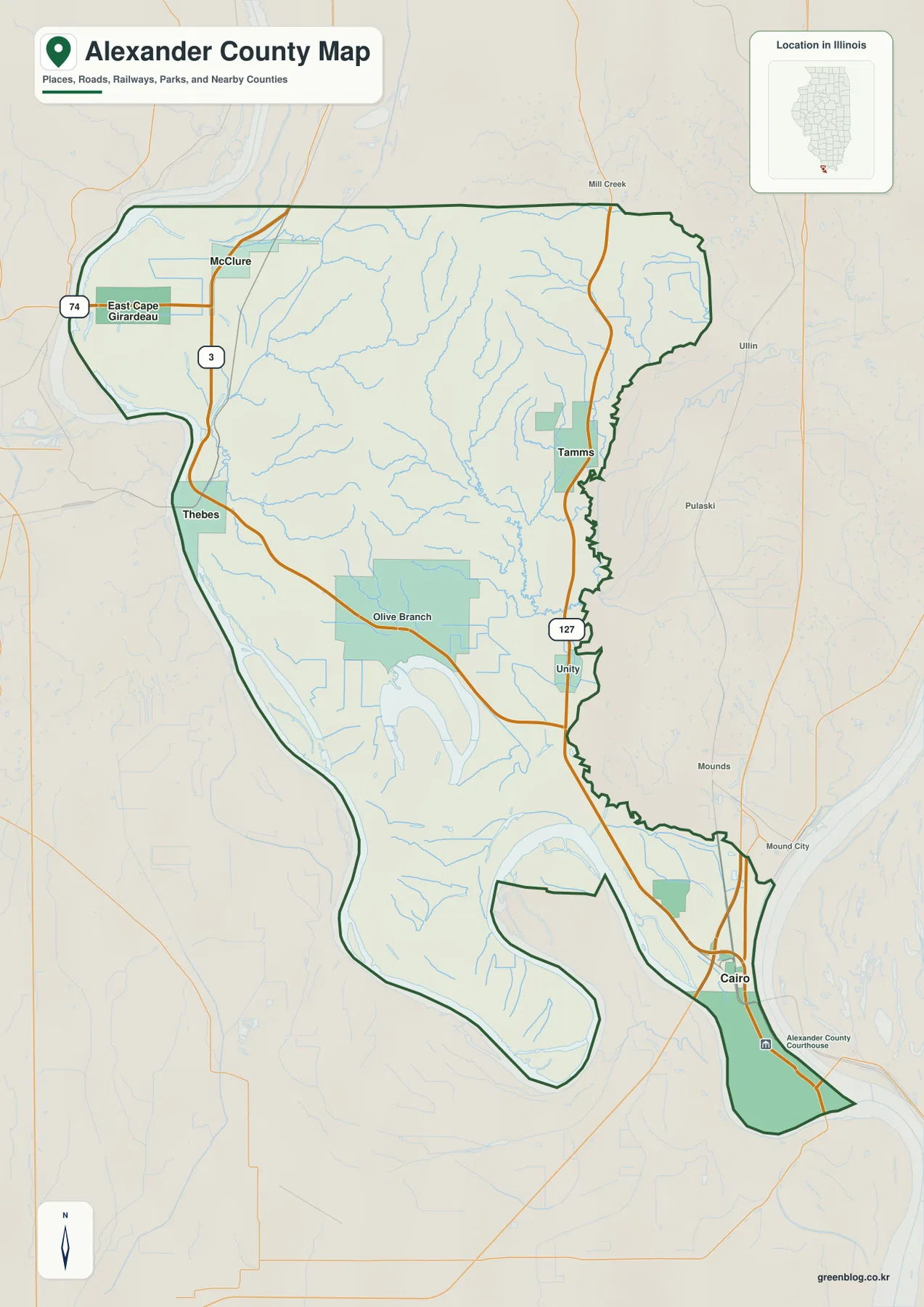
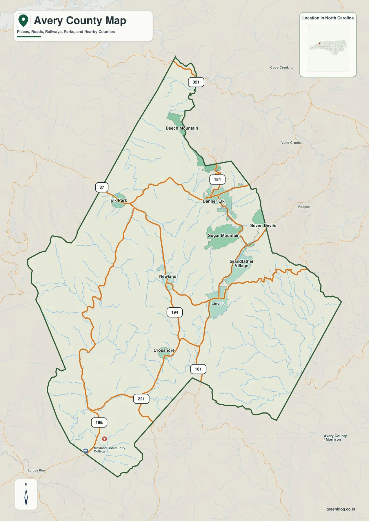
Avery County sits in the mountain country of northwestern North Carolina, where towns, roads, streams, and ridges are packed into a relatively small county boundary. Newland is the county-seat reference near the middle of the map, while Banner Elk, Elk Park, Linville, Crossnore, Beech Mountain, Sugar Mountain, and Seven Devils provide useful points in different directions. This page includes a county road map, a city-distribution map, and a terrain-and-water map. The WebP images are convenient for on-screen viewing, and the download box below provides a ZIP containing three high-resolution A3 JPG map files.
The most practical way to read the county is to combine settlement location with the mountain routes and the major river valleys. On the general county map, US 221 and US 321 appear with NC 181, NC 184, NC 194, and US 19E, showing how the principal roads bend between towns rather than crossing the county as a simple grid. On the water map, those transportation lines give way to Elk River, North Toe River, Linville River, Wildcat Lake, and a dense network of smaller creeks. Looking at both views makes it easier to understand why places that look close in a straight line can occupy very different valleys and approaches.
Table of Contents
Newland as the central reference for mountain roads
Newland is a useful starting point because it lies near the middle of the county and sits close to routes that lead toward several distinct parts of Avery County. NC 194 runs through the Newland area and continues north toward the Banner Elk side of the county, while roads south of Newland connect toward Crossnore and the US 221 corridor. East and southeast of Newland, the map leads toward Linville and Grandfather Village, where NC 181 is clearly marked. Farther north and northeast, NC 184 serves the Banner Elk area, and US 321 appears near the narrow northern part of the county.
The road pattern is especially useful because it shows that Avery County is not organized around one straight east-west or north-south route. Roads curve through mountain gaps and valleys, and several towns sit on different branches of that network. Elk Park lies close to the western side of the county, Banner Elk is farther east, and Beech Mountain occupies the long northern extension. South of Newland, Crossnore sits near the route network that approaches US 221 and US 19E. Reading these places together gives a much clearer picture than treating every town label as if it were on the same transportation corridor.
The Banner Elk cluster and the spread of Avery County towns
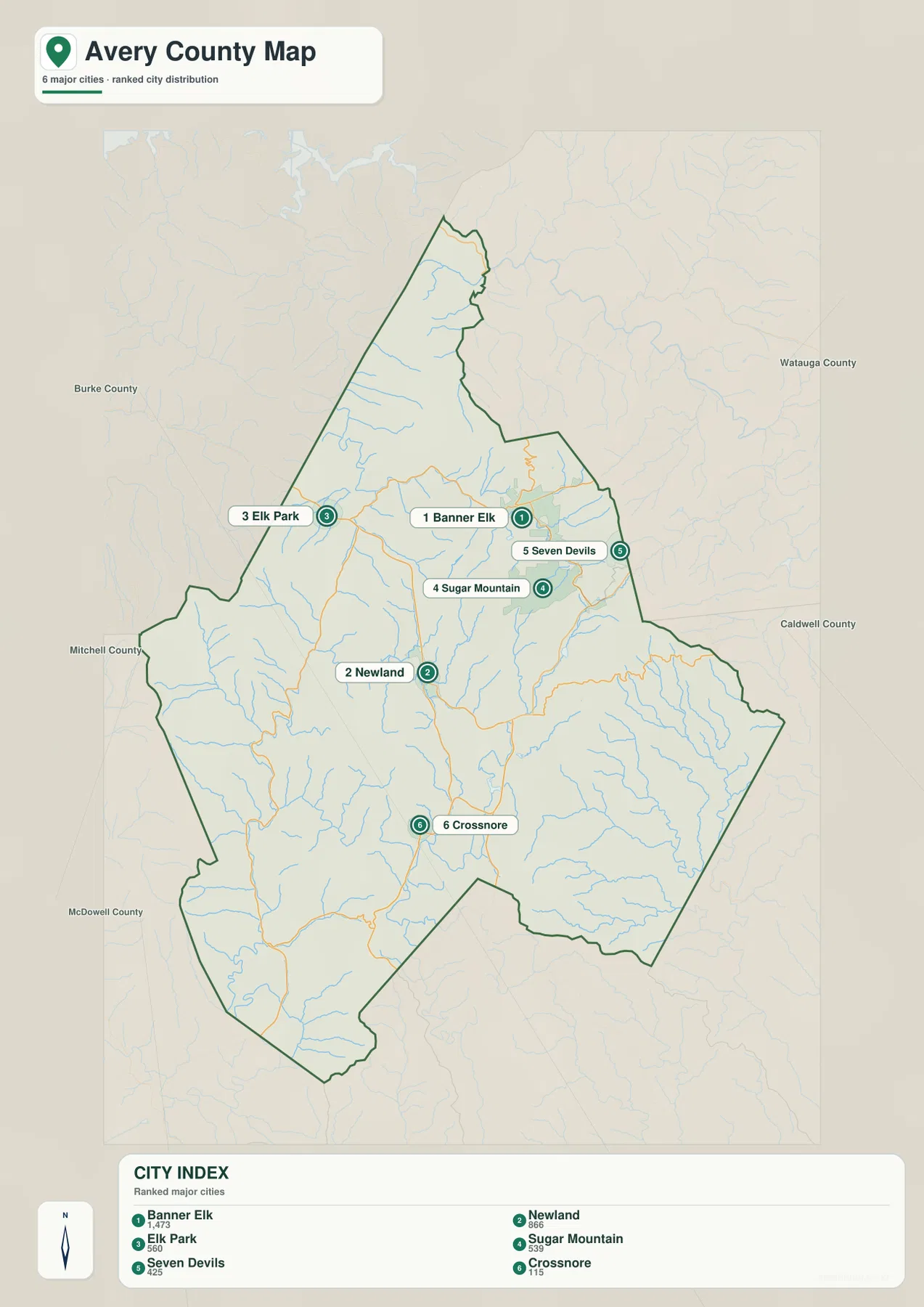
The city map removes much of the road detail and makes the settlement pattern easier to compare. It highlights six places: Banner Elk, Newland, Elk Park, Sugar Mountain, Seven Devils, and Crossnore. Banner Elk, Sugar Mountain, and Seven Devils form a relatively tight group in the northeastern part of the county. Newland stands apart near the center, Crossnore is farther south, and Elk Park is positioned toward the northwest. That arrangement is useful for readers who want a quick sense of where the named communities sit before returning to the more detailed road map.
The outer labels on the city map also help place Avery County among its neighbors. Watauga, Caldwell, Burke, Mitchell, and McDowell counties are identified around the map, giving the county boundary a useful regional frame. These neighboring-county references make the unusual outline of Avery County easier to understand. The northern section is narrow and reaches toward Beech Mountain, while the broader central and southeastern portions contain the Newland, Linville, and Grandfather Mountain side of the county.
Banner Elk and Newland are particularly useful to compare because they serve as two different anchors on the maps. Newland is the central administrative reference, while Banner Elk sits closer to the group of mountain communities in the northeast. Elk Park shows how far the settlement pattern extends toward the western edge, and Crossnore provides a southern reference. The city view does not replace a street or navigation map, but it is very effective for understanding the broad arrangement of communities within the county boundary.
Three major river valleys inside the county
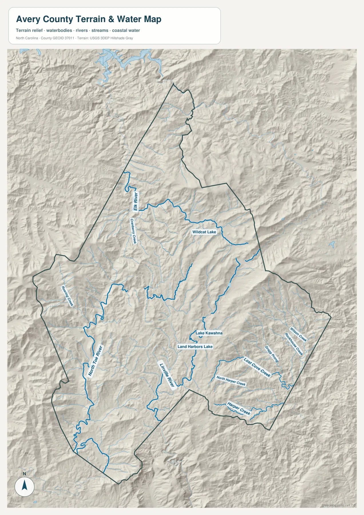
The terrain-and-water map changes the emphasis completely. Instead of treating Avery County as a set of roads and towns, it shows a mountain landscape divided by several major drainage areas. Elk River is prominent in the north, North Toe River runs through the southwestern side, and Linville River is a strong reference in the south-central and eastern part of the county. These rivers do not follow one common direction, which is one reason the county looks so broken into separate ridges and valleys when viewed with terrain shading.
Elk River is easy to find near the northern third of the map, where it bends across the mountain terrain and receives smaller streams. Cranberry Creek is labeled nearby, giving another useful reference on the western side of the Elk River area. North Toe River appears farther southwest and runs through a different set of valleys. Its course provides a clear natural reference for the western and southern portions of the county, especially when compared with the road routes shown on the general map.
Linville River is the third major waterway to find. It is labeled near the center-south and continues through terrain that leads toward the eastern side of Avery County. Around that broader drainage are several named tributaries, including Gragg Prong, Lost Cove Creek, North Harper Creek, Harper Creek, and Wilson Creek. These names make the water map useful at a finer scale than the general county map. A reader can start with one of the three larger rivers, then follow the smaller creeks into the surrounding ridges and valleys.
Wildcat Lake and smaller mountain water bodies
Several smaller water bodies add useful detail to the river network. Wildcat Lake is labeled in the northeastern portion of the county near the Banner Elk side of the map. Lake Kawahna and Land Harbors Lake appear closer together in the central-eastern area. These are much smaller than the main river corridors, but they work well as landmarks when matching the water map to the settlement map. A lake can often be easier to recognize quickly than a small tributary, especially for readers comparing printed maps at a larger page size.
The relief shading around these water bodies is just as important as the blue lines. Ridges and narrow valleys repeat across the county, and the streams tend to occupy the lower channels between them. The northeastern mountain communities, the Linville side of the county, and the North Toe River valley all sit in different terrain settings even though they are part of the same county. This is why the terrain-and-water view is valuable: it explains the physical setting behind the road and town layout without adding unrelated land-use or parcel information that is not part of this package.
Grandfather Mountain and the eastern side of Avery County
Grandfather Mountain is an important geographic reference for the eastern side of Avery County, and the package title uses it to distinguish this county page from other North Carolina county maps. On the road map, Grandfather Village appears near the southeastern side, with Linville nearby and the road network bending through the mountain terrain. That area is visually different from the flatter idea of a county centered on one grid of roads; the combination of ridges, valleys, and winding routes creates a more irregular relationship between neighboring places.
For a practical map-reading sequence, start with Newland, move northeast toward Banner Elk and the mountain communities around it, then shift southeast toward Linville and Grandfather Village. After that, use the terrain map to see how Linville River and the surrounding creeks fit into the eastern mountain relief. This order keeps settlement names, roads, and physical geography connected without treating them as the same type of information.
Choosing the right Avery County map for the task
Use the general county map when you need the county boundary, named communities, and the principal road connections on one page. It is the best choice for locating Newland relative to Banner Elk, Elk Park, Linville, and Crossnore, or for checking where US 221, US 321, NC 181, NC 184, and NC 194 enter the picture. The city map is simpler and works better when the goal is only to compare the major settlement points without as much road detail.
Choose the terrain-and-water map when rivers, creeks, lakes, and mountain relief are more important than transportation. Elk River, North Toe River, Linville River, Wildcat Lake, and the Harper Creek area are much easier to follow there. For printing, classroom work, regional comparison, or any use that benefits from a larger image, the A3 JPG files in the download package are more suitable than the on-page WebP previews. The three JPGs cover the same county from different perspectives, so they can be used individually or side by side.
Frequently Asked Questions
Which map is best for comparing Newland and Banner Elk?
The city map gives the cleanest comparison because Newland and Banner Elk are highlighted with the other major settlement points. It shows Newland near the center of the county and Banner Elk farther northeast, with Elk Park, Sugar Mountain, Seven Devils, and Crossnore providing additional reference points. If you also need the connecting road network, use the county map next to it so that routes such as NC 194 and NC 184 are visible.
What waterways should I locate first on the terrain-and-water map?
Start with Elk River in the north, North Toe River in the southwest, and Linville River in the south-central and eastern part of the county. Those three rivers provide the broadest framework for the water network. From there, smaller features such as Wildcat Lake, Lake Kawahna, Cranberry Creek, Lost Cove Creek, North Harper Creek, and Harper Creek make it easier to examine individual valleys and local drainage areas.
Sources and reference material
The following regional and federal resources are useful for checking Avery County background information and the boundary, hydrography, and elevation data used in county mapping workflows.
- NCpedia – Avery County geography and county information
- U.S. Census Bureau TIGER/Line boundary data
- USGS National Hydrography water data
- USGS 3D Elevation Program
Map File Information
The Avery County download contains three high-resolution A3 JPG files: a county road map, a city-distribution map, and a terrain-and-water map. They are suitable for printing, classroom materials, and county-to-county comparison.
- Included Files: County road map, city-distribution map, and terrain-and-water map
- File Type: Three high-resolution A3 JPG files in one ZIP archive
- Intended Use: Printing, education, presentations, and map-based projects
Related Maps
Green Map creates custom-edited map images using open geographic data sources such as geoBoundaries, Natural Earth, OpenStreetMap, and government open data.
These maps are edited visual materials, not raw data files, and are provided for education, documents, presentations, and graphic reference.