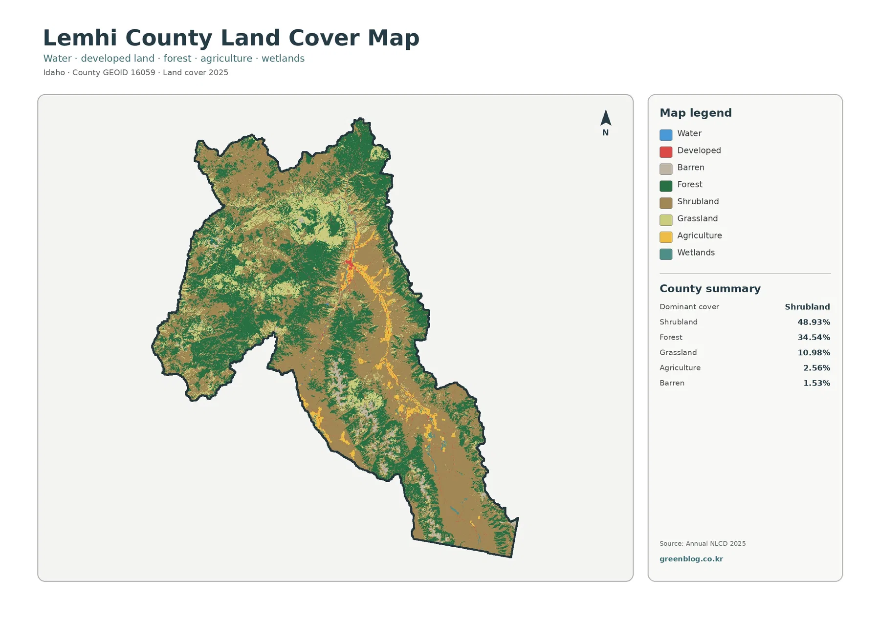
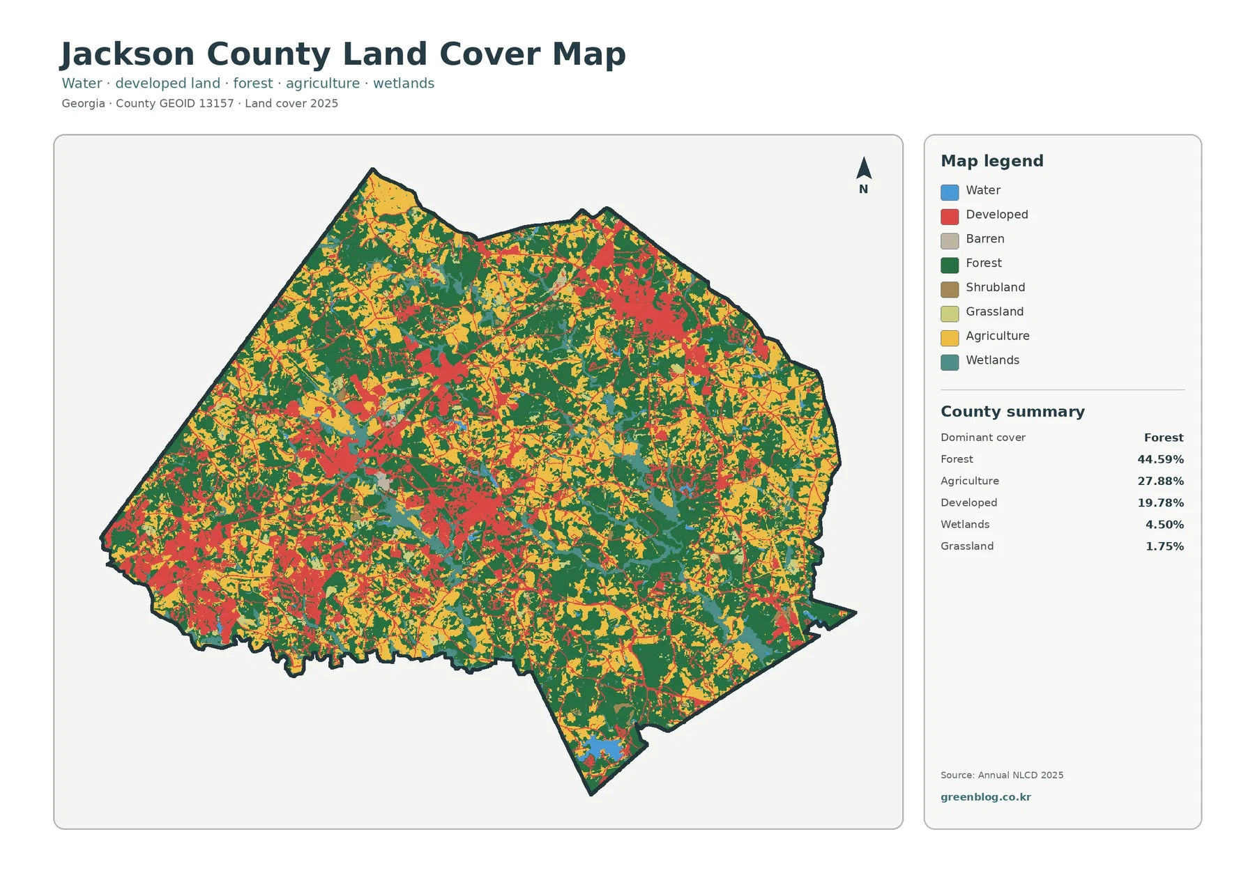
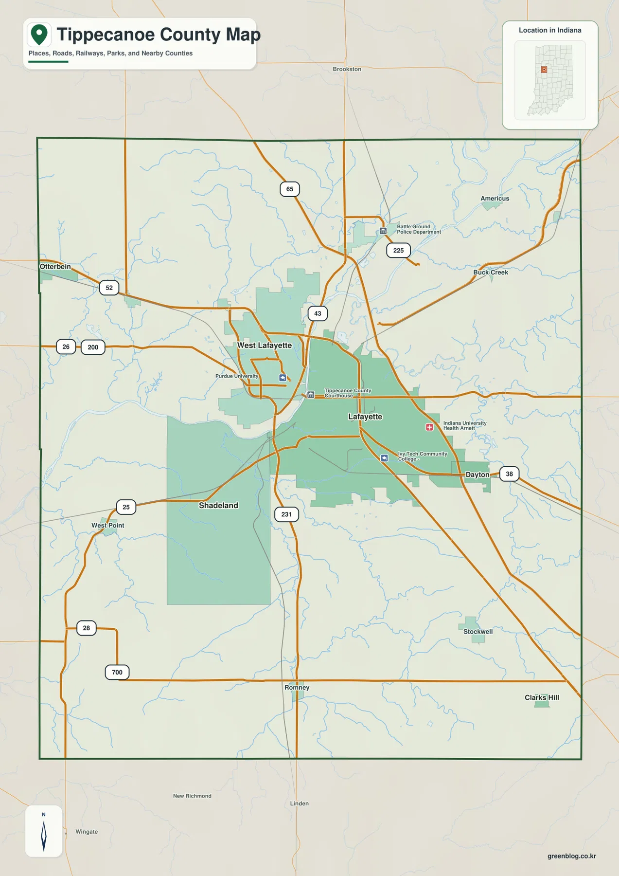
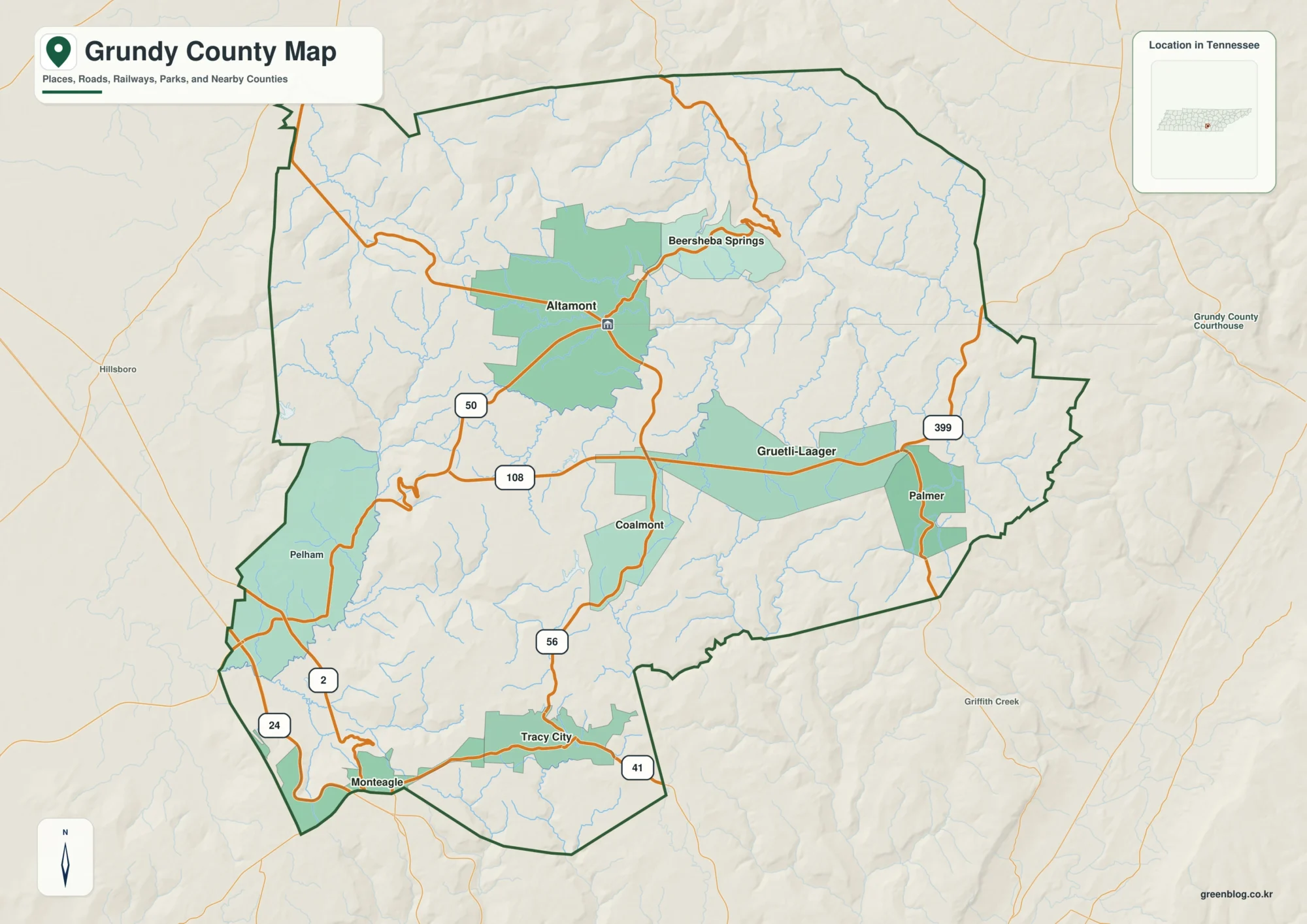
Graves County sits in western Kentucky with Mayfield as the clearest place to orient yourself. The maps on this page show Mayfield and Wingo, smaller communities such as Fancy Farm, Lowes, Hickory, Pryorsburg, Farmington, and Sedalia, a broad network of numbered roads, the Mayfield Creek system, and local elevation changes. Four high-resolution JPG maps are also available together in a ZIP file, so visitors can move from the quick on-page view to larger files for printing, classroom work, or detailed place checking. High-resolution map files are available for download in the section below.
Mayfield is the easiest starting point because several routes converge there before spreading into the rural parts of the county. KY 80 crosses the area east to west, while KY 121, KY 131, KY 303, and other state routes help define the north-south connections. Wingo lies to the southwest near U.S. 45, while Fancy Farm is farther west and Farmington is southeast of Mayfield. That combination of one strong central hub and many smaller communities gives Graves County a map pattern that is easy to recognize once the center is established.
Table of Contents
Mayfield anchors a road network that reaches small communities in every direction
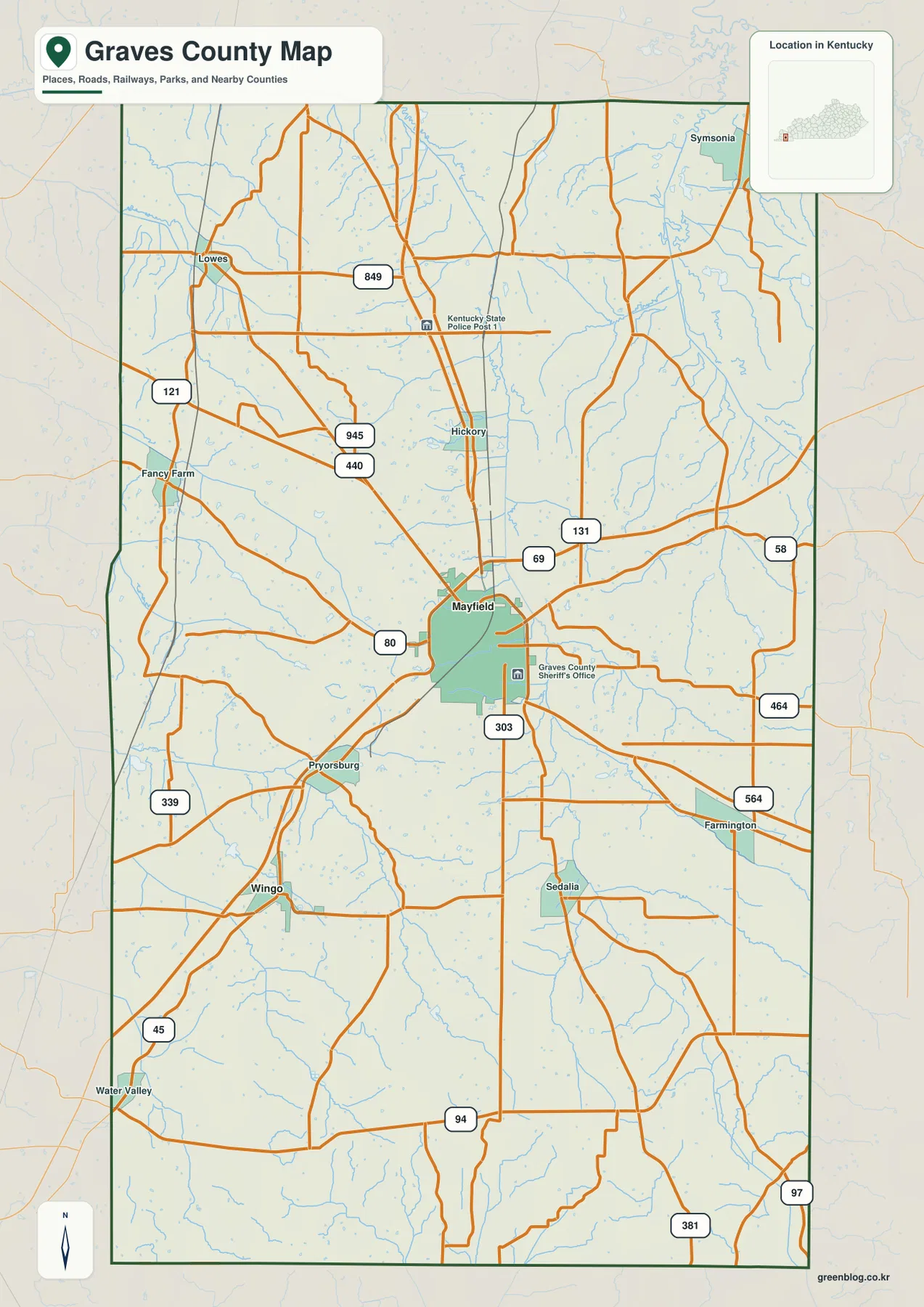
The county map makes Mayfield stand out immediately. KY 80 passes through the central area, KY 121 approaches from the northwest, and KY 303 extends south from the city. North of Mayfield, Hickory appears along the central corridor, with Lowes farther northwest. Fancy Farm sits near the western side of the county, while Pryorsburg and Wingo mark the southwest. Farmington and Sedalia provide useful reference points on the southeast side.
Outside Mayfield, the road pattern becomes more dispersed. KY 121 and KY 339 help organize the western side, while KY 58, KY 464, KY 564, and KY 97 are visible toward the east and southeast. U.S. 45 runs through the southwest near Wingo and continues beyond the county. The roads are not arranged as a perfect grid; many bend across creek valleys and rolling ground, so the basic map is especially useful when a destination sits between named towns rather than inside Mayfield itself.
The surrounding counties also help place Graves County within western Kentucky. The city map labels McCracken County to the north, Calloway and Marshall counties to the east, Fulton County to the southeast, and Hickman, Carlisle, and Ballard counties to the west. Those labels are useful when following a route that leaves Graves County, because they show which neighboring area a road is approaching without requiring a separate statewide map.
Mayfield and Wingo give a simple picture of the county’s major-city distribution
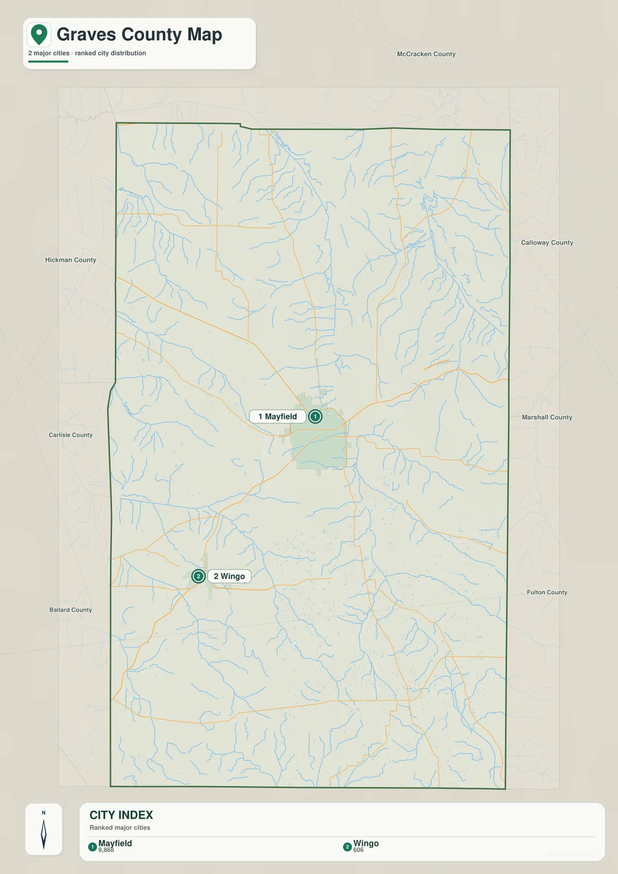
The city-distribution map reduces the county to its two ranked major cities: Mayfield and Wingo. The map labels Mayfield with 9,868 people and Wingo with 606, making the difference in scale immediately visible. Mayfield sits near the middle of the county, while Wingo is southwest of it. That contrast explains why the detailed road map has a much denser pattern around Mayfield and a more rural appearance across much of the remaining area.
No connector lines or mileage labels are drawn on this city map, so it should not be read as a distance chart. Its value is the uncluttered view of relative position and city size. A visitor who only needs to know where the two main urban points sit can understand the county quickly here, then switch to the county map for the actual numbered roads and smaller place names.
The simplified view also highlights how much of Graves County lies outside those two city symbols. Fancy Farm, Lowes, Hickory, Pryorsburg, Farmington, and Sedalia are useful named places on the detailed map even though they are not ranked in the city panel. Using both maps together avoids the common mistake of treating the county as if Mayfield and Wingo were the only meaningful reference points.
Mayfield Creek and its branches trace the county’s lower corridors
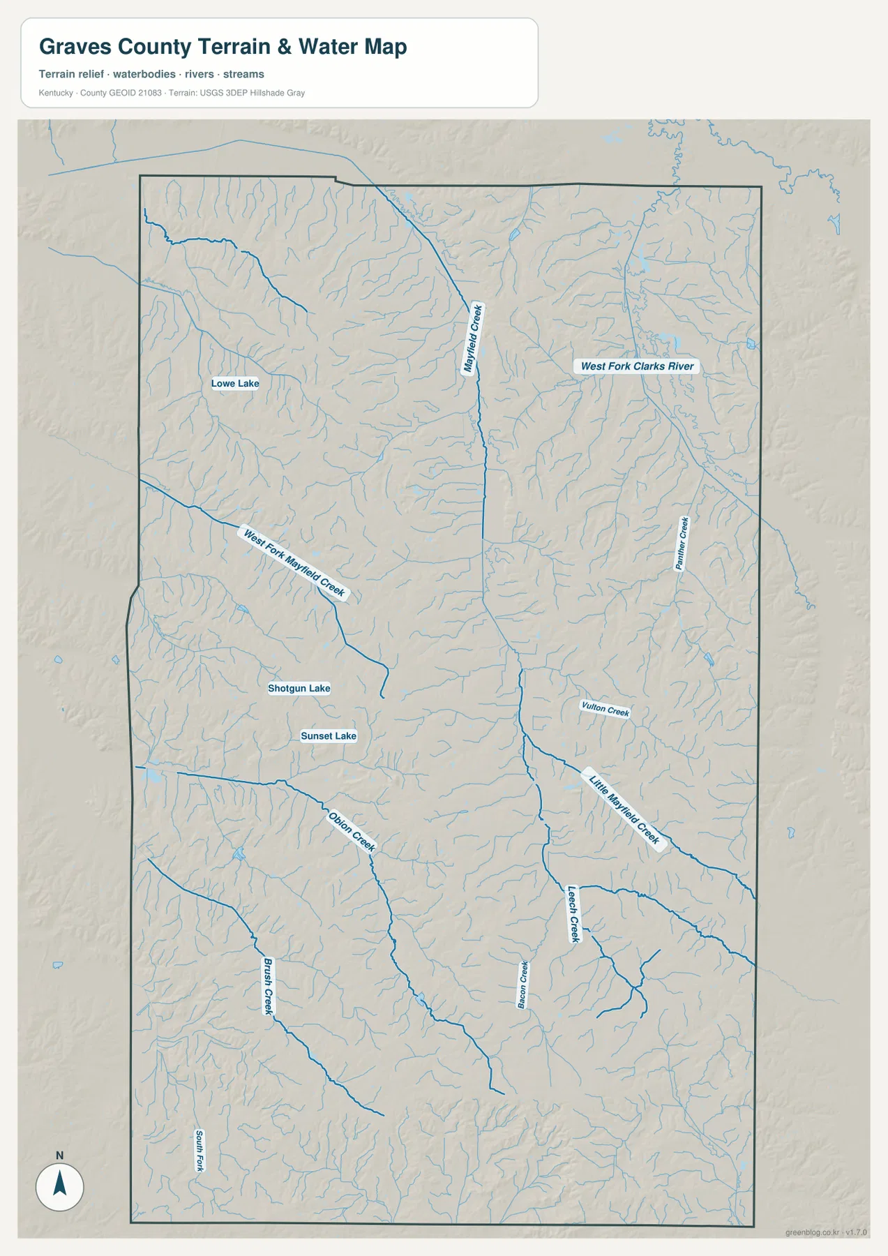
The terrain-and-water map is organized around a network of creeks rather than one large river. Mayfield Creek is the most prominent named channel, running through a broad central corridor. West Fork Mayfield Creek approaches from the west, while Little Mayfield Creek appears farther south and east. West Fork Clarks River and Panther Creek occupy the eastern side, creating a separate set of valleys from the central Mayfield Creek drainage.
Farther south, Obion Creek and Brush Creek cross the western and southwestern parts of the county. Leech Creek and Fulton Creek are visible toward the southeast, along with many unnamed tributaries that form short branching patterns. Small water bodies add additional landmarks: Lowe Lake is in the northwest, while Shotgun Lake and Sunset Lake appear west of the county center. These features are easier to locate on the water map than on the road-focused county map.
The creek pattern also helps explain the shape of the local terrain. Roads frequently cross or follow these lower corridors, and the flatter-looking central areas line up with parts of the Mayfield Creek system. Areas with many short tributaries show more closely spaced ridges and hollows in the shaded background. This map is a static geographic reference, not a flood-hazard map, legal water-boundary map, or navigation product, so current water conditions and regulatory questions require separate official sources.
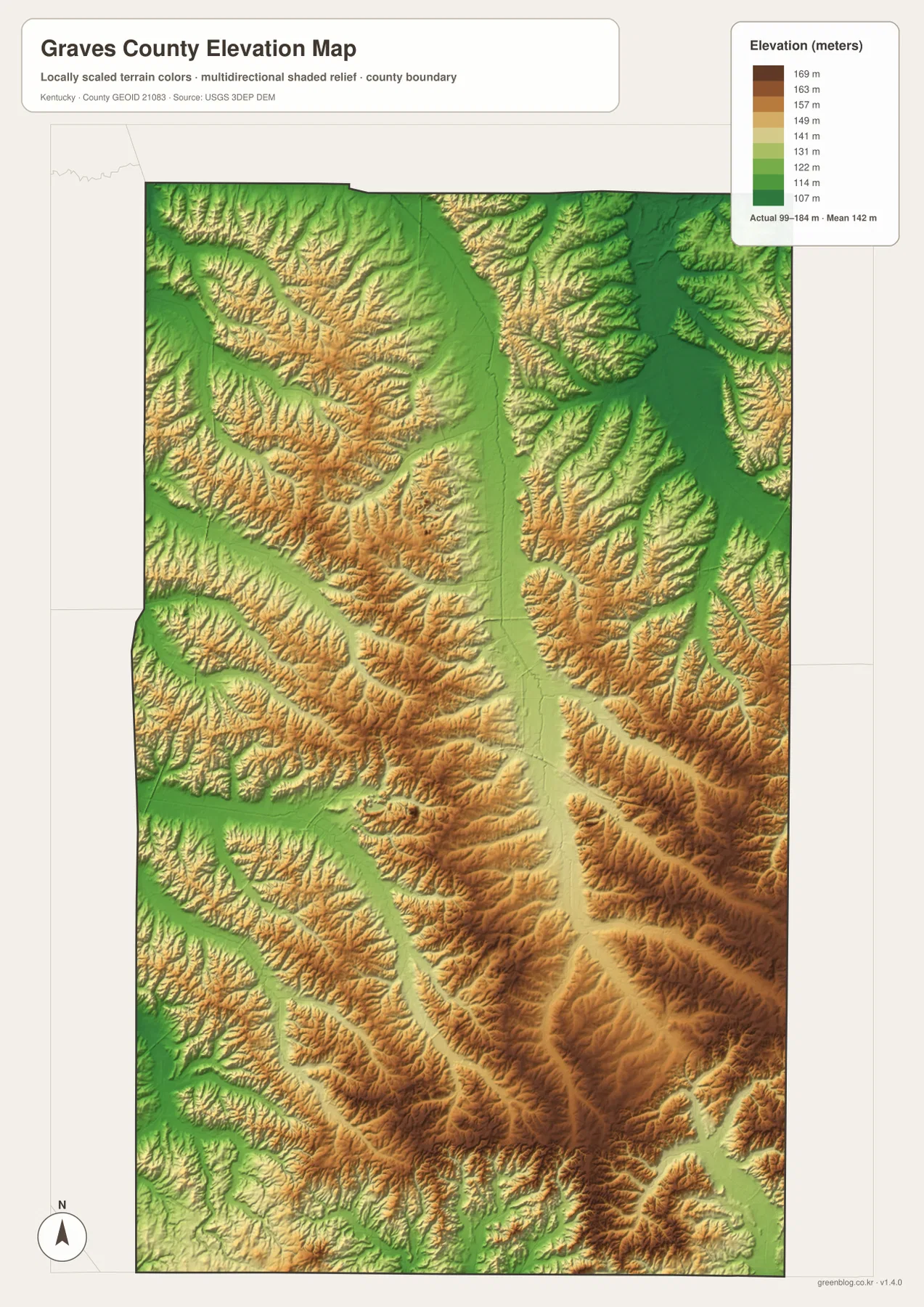
A 99–184 m elevation range separates creek bottoms from rolling uplands
The elevation map reports an actual range of about 99 to 184 meters and a mean elevation of 142 meters. That is a difference of roughly 85 meters across the mapped county, so Graves County is better understood as low rolling country cut by creek valleys than as a mountainous landscape. The strong shaded-relief effect is designed to make subtle local changes visible; it should not be mistaken for the much larger relief found in eastern Kentucky mountain counties.
Green bands follow many of the lower creek corridors, especially around the broad central drainage. Yellow and brown tones rise on the ground between those valleys, producing a branching texture that matches the stream network on the water map. The western and southeastern portions show numerous short ridges divided by tributaries, while the central Mayfield Creek corridor creates a broader low route through the county.
This generalized elevation surface is useful for comparing broad highs and lows, not for reading a survey-grade elevation at a house, parcel, bridge, or construction site. It works best when paired with the creek map: a low green strip can be matched to a named channel, while nearby tan or brown ground indicates the higher land between drainage lines. That comparison gives much more context than either map provides by itself.
Choose the map by whether you need roads, cities, waterways, or relief
For locating Mayfield, Wingo, Fancy Farm, Farmington, or another named community, start with the county map. It combines place names with numbered highways and neighboring counties, making it the most practical all-purpose reference. The city map is better when the goal is simply to compare the two ranked major cities without the visual noise of dozens of roads and streams.
If a place is described by a creek, lake, or low valley, the terrain-and-water map becomes more useful. Mayfield Creek, West Fork Mayfield Creek, Little Mayfield Creek, Obion Creek, Brush Creek, and other named channels provide location clues that the city map does not show. The elevation map adds a second layer by showing whether that creek occupies a broad low corridor or a narrower cut between rolling uplands.
The high-resolution JPG files in the ZIP are the better choice for printing or zooming in on small labels. The on-page WebP versions are convenient for quick browsing, while the larger originals preserve more detail for road numbers, creek names, and map comparison. Selecting the file that matches the question—rather than trying to make one map answer everything—keeps Graves County’s roads, settlements, water, and terrain much easier to understand.
Frequently Asked Questions
What is the easiest place to use as a reference point in Graves County?
Mayfield is the clearest reference point. It is centrally located on the detailed map and sits where several numbered routes converge. Wingo is southwest of Mayfield, Fancy Farm is to the west, and Farmington is to the southeast, so those smaller places become easier to locate after Mayfield is established.
Which map is best for finding Mayfield Creek and smaller waterways?
The terrain-and-water map is the best choice. It labels Mayfield Creek, West Fork Mayfield Creek, Little Mayfield Creek, Obion Creek, Brush Creek, Leech Creek, Panther Creek, and several other channels, along with small lakes such as Lowe Lake, Shotgun Lake, and Sunset Lake. It is intended for geographic reference rather than flood forecasting or real-time water conditions.
Is Graves County mountainous according to the elevation map?
No. The supplied elevation map reports an actual range of about 99–184 meters and a mean of 142 meters. The shaded relief makes small ridges and creek valleys easy to see, but the county’s overall relief is modest. The most useful interpretation is a landscape of low creek bottoms and rolling uplands rather than high mountains.
Map File Information
Download the Graves County boundary/road map, city map, terrain-and-water map, and elevation map as high-resolution JPG originals.
- Included Files: Use only the versions confirmed in the article and supplied images
- File Type: Use the confirmed download contents
- Intended Use: Printing, education, presentations, and map-based projects
Related Maps
Sources and Reference Links
County information is available from the Graves County Fiscal Court. Boundary and road references can be checked through U.S. Census Bureau TIGER/Line and Kentucky Transportation Cabinet Printable Maps. Water and elevation references are available from USGS National Hydrography and the USGS 3D Elevation Program.
Green Map creates custom-edited map images using open geographic data sources such as geoBoundaries, Natural Earth, OpenStreetMap, and government open data. These maps are edited visual materials, not raw data files, and are provided for education, documents, presentations, and graphic reference.