A Korean version of this map page is available. View Korean Page
The Uruguay map in this collection was prepared for users who need a clear printable reference for South America. Uruguay is located in the southeastern part of the continent, bordered by Argentina and Brazil, with the Atlantic Ocean along its eastern side. Compared with many South American countries, Uruguay is relatively compact, so a well-labeled map is useful for showing its regional divisions, coastal position, and the location of Montevideo without overwhelming the page.
This printable Uruguay map collection includes three versions: a color map, a black and white map, and an outline map. The files are designed for A3 layout use and general image-based projects, making them suitable for classroom handouts, presentation slides, blog graphics, travel planning materials, infographic layouts, and editable visual resources. The color version helps separate administrative regions visually, the black and white version works well for printing and note-taking, and the outline version gives users a clean base for adding custom information.
Uruguay’s map layout is easy to recognize because of its compact shape, Atlantic coastline, and position between Argentina and Brazil. Montevideo is especially important because the capital is located in a relatively small area along the southern coast. During the map preparation process, extra attention was given to keeping Montevideo visible while maintaining a clean view of the country’s regional structure.
For students, teachers, bloggers, and presentation creators, this map set can work as a quick visual reference. It is useful when comparing South American countries, explaining Uruguay’s coastal location, marking travel routes, or creating a simple educational worksheet. Instead of using one finished image for every purpose, the three map styles allow users to choose the version that fits their project.
Table of Contents
What Is Included
This Uruguay map set includes three practical map styles. Each version is intended for a different type of work, so users can choose a finished visual, a clean printable reference, or a blank editing base.
The color map is best for quick visual explanation and regional comparison. The black and white map is better for printed materials, school reports, and documents where clean labels matter more than color. The outline map is designed for editing, coloring, route marking, and infographic-style projects.
Uruguay Map Layout
Uruguay is a small South American country compared with Brazil, Argentina, or Peru, but its compact shape makes a clear map layout important. If too many surrounding details are added, the country itself can become visually crowded. For this reason, neighboring countries are kept simple, while Uruguay’s administrative regions remain the main focus.
The Atlantic side is useful for understanding Uruguay’s coastal character, and Montevideo needs special attention because it occupies a small but important area. A map that highlights the capital clearly is helpful for travel presentations, country reports, and South America comparison materials.
The regional layout was arranged to keep the balance between readability and visual simplicity. Administrative boundaries are shown clearly, but roads, buildings, and highly detailed terrain are not included. This keeps the map useful as a printable reference rather than a dense navigation map.
Color Uruguay Regional Map
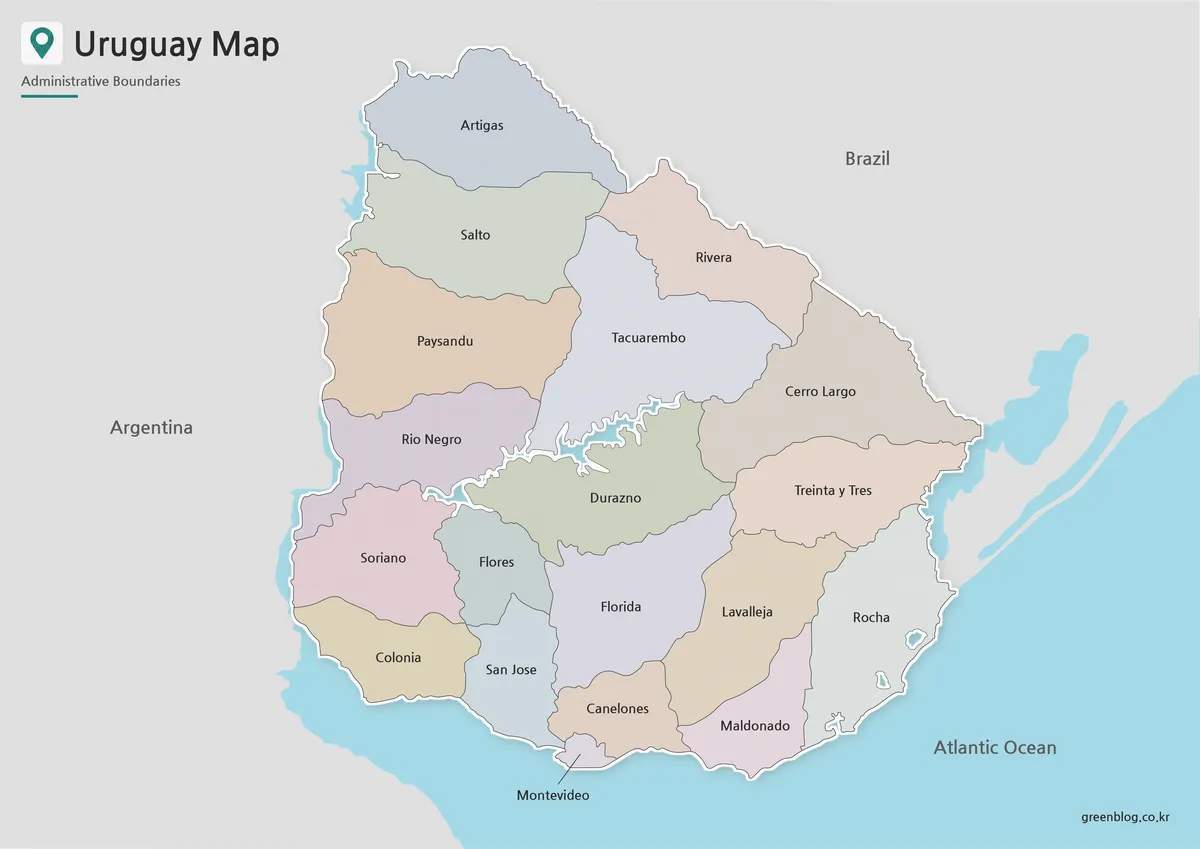
Designed for visual comparison, the color Uruguay map separates the country’s administrative regions while keeping Montevideo easy to identify. Because Uruguay is compact, nearby labels and region colors need to be balanced carefully so that the map does not feel crowded.
The color version works well for blog images, classroom slides, and country introduction materials. It can also support South America comparison graphics, especially when showing Uruguay’s position between Argentina and Brazil and its connection to the Atlantic coast.
During the design process, the sea and land were separated visually so the coastline could be understood quickly. Neighboring countries were kept simple, with emphasis placed on Uruguay itself rather than on surrounding borders. This makes the color map suitable as a finished image for educational or explanatory content.
Black and White Uruguay Map
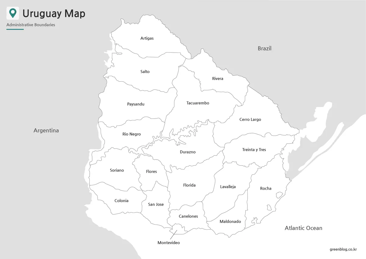
For printed materials, the black and white Uruguay map provides a cleaner layout. Without color blocks, labels and boundary lines stand out more clearly, which is helpful when the map is printed, copied, or inserted into a document.
This version is useful for classroom worksheets, reports, travel notes, and presentation handouts. Users can add notes around Montevideo, mark a travel route, or highlight a specific administrative region without the map becoming visually heavy.
The boundary lines were checked so they remain connected and readable when enlarged for A3 output or reduced for smaller document use. A simple black and white layout also saves ink and makes the map easier to write on during study or planning work.
Blank Uruguay Outline Map for Editing
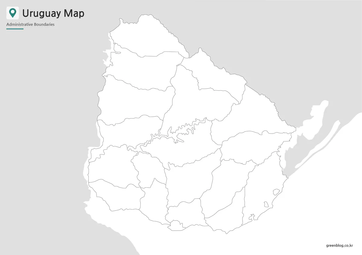
The outline version is prepared for users who want to add their own information. It removes most colors and labels, leaving a clean structure that works well as a base map for editing, coloring, and custom graphic design.
Designers can use the outline map to apply their own color palette, add statistical values, mark tourism points, or create a regional comparison graphic. Teachers can use it for coloring activities, map-labeling exercises, or simple South America geography worksheets.
For travel content, the blank map can also be used to mark routes, highlight Montevideo, or show coastal movement along the Atlantic side. Because the map starts with fewer visual elements, users have more room to add their own text, icons, and annotations.
Uruguay Flag and Map Use
A Uruguay map can be paired with the national flag when creating country introduction materials. The flag’s sun symbol and blue-white stripes can help create a recognizable visual identity for educational slides, blog thumbnails, or travel-related content.
When used together, the map and flag can show both location and national identity in a simple way. This is useful for classroom resources, country profile pages, and visual summaries of South American nations.
Practical Uses for This Uruguay Map
A printable Uruguay map is useful in several common situations. Teachers can use it for South America geography lessons, students can include it in country reports, and bloggers can use it as a visual reference when writing about travel, culture, or regional comparisons.
Presentation creators may use the color map when they need a ready-made visual. The black and white version is better for handouts and printed notes. The outline map is the best option when users want to build a custom infographic, add data, or highlight specific regions.
The map also works well for explaining Montevideo’s location, Uruguay’s position between Argentina and Brazil, and the country’s Atlantic-facing geography.
Frequently Asked Questions
What information is included in this Uruguay map?
The map focuses on Uruguay’s administrative regions, country outline, coastal position, and general location context. It does not include roads, buildings, or detailed navigation information.
Can I print the Uruguay map in A3 size?
Yes. The map set is prepared for A3 layout use, making it suitable for classroom posters, large handouts, presentation boards, and printable study resources.
Why are neighboring countries shown in a simple way?
The surrounding countries are simplified so Uruguay remains the main focus. This keeps the map cleaner and easier to read, especially when printed or used in presentation slides.
Which version is best for printing?
The black and white map is usually the best choice for printing. It keeps labels and boundaries clear, uses less ink, and leaves room for notes or markings.
What can I do with the outline map?
The outline map works well for editing. You can add colors, travel routes, region highlights, statistics, labels, icons, or custom infographic elements.
Download Uruguay Map
This download includes printable Uruguay map versions for educational use, presentation design, document printing, and editable graphic projects.
- Included Versions: Color map, black and white map, outline map
- Printable Size: A3 layout
- File Type: Image files
- Intended Use: Classroom handouts, presentations, blog graphics, infographic editing, and printable reference materials
Additional Resources
- Natural Earth : A useful reference for general country boundary data and simplified world map resources.
Related Maps
- Ecuador Map Download for Printing, Classroom Use, and Graphic Editing
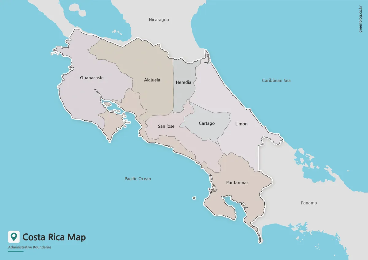
- Costa Rica Map Download | Printable Color, Black and White & Outline Maps
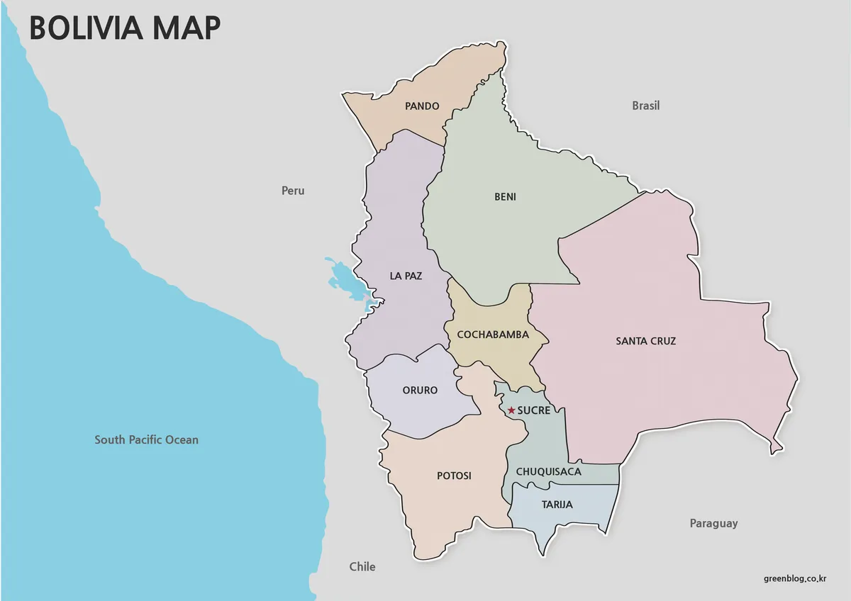
- Printable Bolivia Map Set – High-Resolution Maps for Education and Design
- Printable Paraguay Map Collection for Education and Design Projects
Green Map creates custom-edited map images using open geographic data sources such as geoBoundaries, Natural Earth, OpenStreetMap, and government open data.
These maps are edited visual materials, not raw data files, and are provided for education, documents, presentations, and graphic reference.