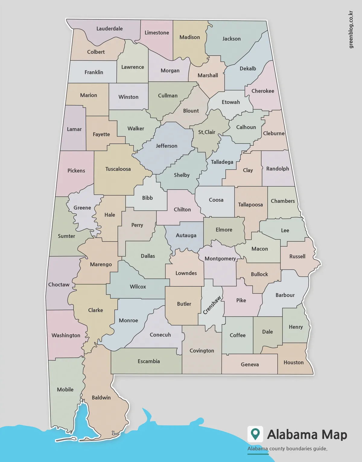
An Arkansas Map can be useful in many situations beyond simply locating the state on a map of the United States. Teachers preparing classroom materials, students working on geography projects, bloggers creating regional content, and designers building infographics often need a map that is easy to read, easy to print, and simple to customize. Finding a clean map that works equally well for presentations, worksheets, reports, and editing projects can sometimes be more difficult than expected.
Located in the south-central United States, Arkansas shares borders with Missouri, Tennessee, Mississippi, Louisiana, Texas, and Oklahoma. Major cities such as Little Rock, Fayetteville, Fort Smith, and Jonesboro are spread across different parts of the state, making county and regional organization important when explaining geographic relationships. Natural features such as the Ozark Mountains, Buffalo National River, and Hot Springs region also contribute to the state’s distinctive layout.
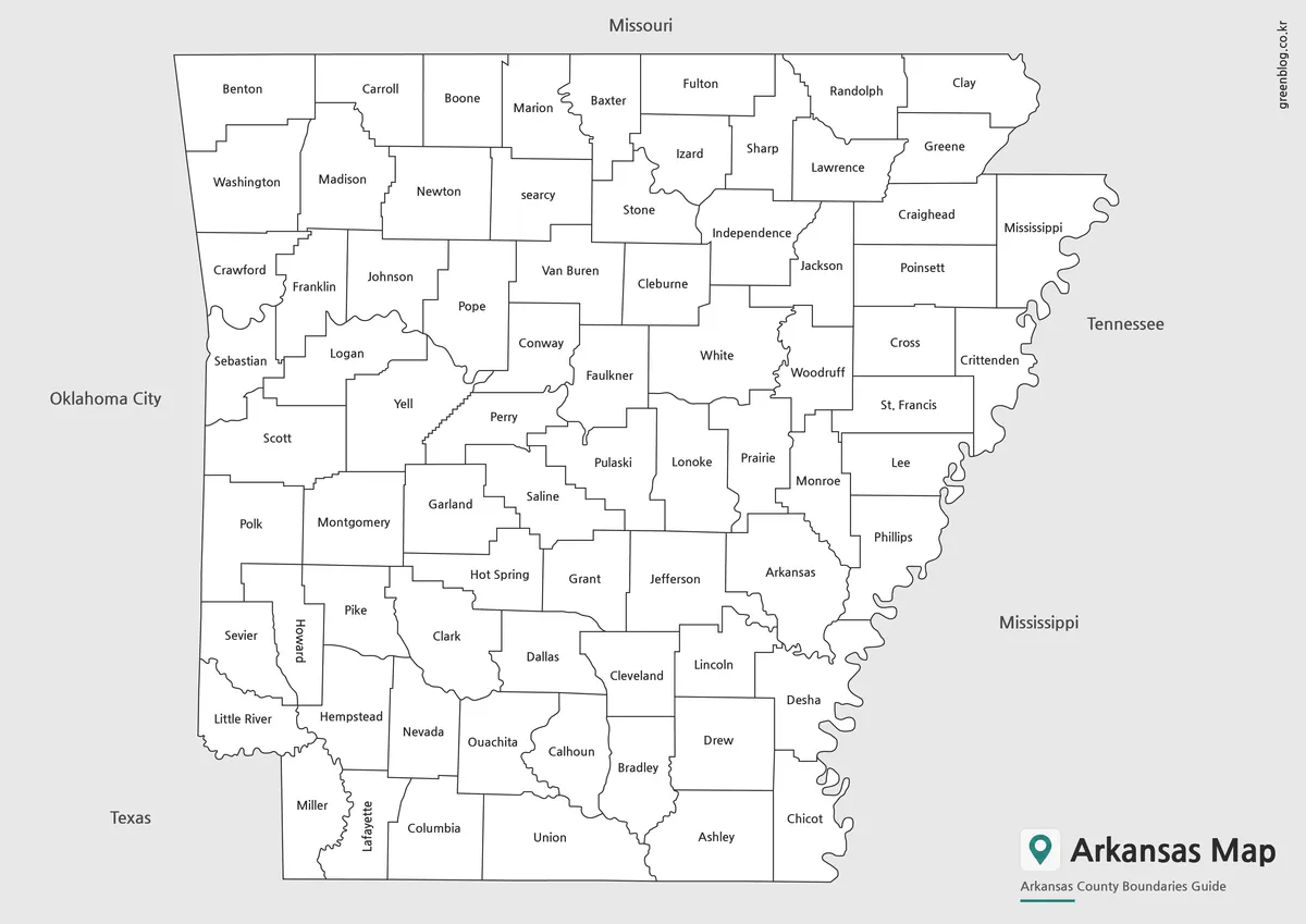
This printable Arkansas Map collection includes three versions: a color county map, a black and white labeled map, and a blank outline map. The files were prepared in high resolution and arranged for large-format printing, making them suitable for classroom handouts, educational worksheets, travel presentations, blog graphics, and infographic projects.
While organizing this collection, extra attention was given to county boundary visibility and label readability. The layout was reviewed at larger print sizes to ensure that county names remain clear when enlarged, and the simplified outline version was designed to make editing and annotation easier.
Table of Contents
Arkansas Map Versions Included
Three map styles are included in this collection, each designed for a different purpose.
Color County Map
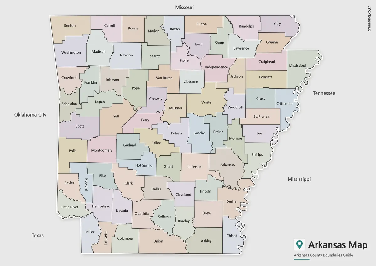
Designed for visual comparison and regional reference, the color version makes county boundaries easier to distinguish at a glance. Different colors help separate neighboring counties, which can be useful when explaining administrative divisions, population distribution, travel routes, or regional planning topics.
This version works particularly well in presentation slides, educational materials, and online articles where quick visual understanding is important.
Black and White Labeled Map
The labeled version removes most color elements and focuses on county names and boundary lines. This format is often preferred for printed reports, classroom reference materials, and worksheets where readability is more important than visual styling.
Because the layout is less visually busy, county names are easier to identify during discussions, lessons, and printed study activities.
Blank Outline Map
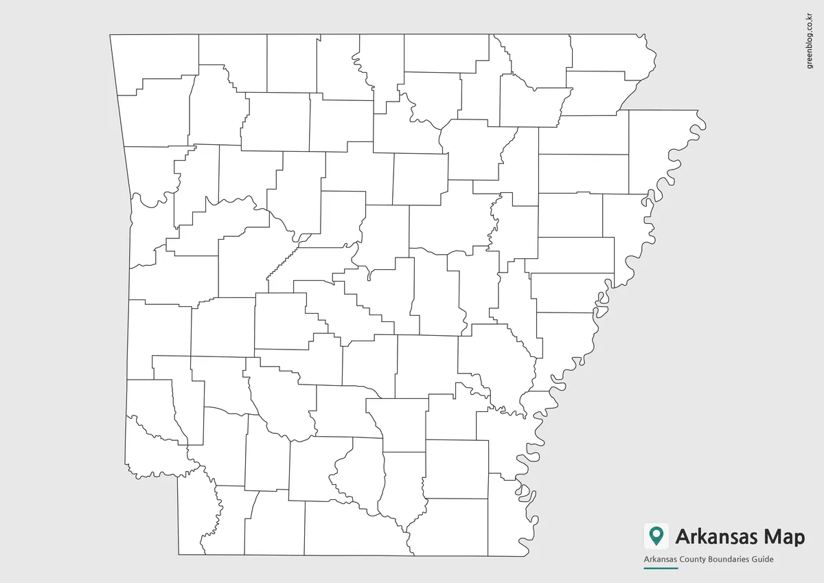
The outline version contains only boundary lines, creating a clean base map for customization. It can be used for geography exercises, demographic projects, election maps, travel planning, infographic creation, and graphic design work.
Many users also choose this format when creating their own color-coded maps or adding location markers and regional data.
Regional Layout and Geographic Structure
Arkansas covers approximately 137,700 square kilometers and has a population of around three million people. Rather than being concentrated around a single metropolitan area, population centers are distributed across several regions, making county-level maps particularly useful.
The state’s geographic structure includes mountainous areas in the north, forests throughout much of the interior, and river systems that influence transportation and settlement patterns. Because of these varied landscapes, a county map often provides a clearer understanding of regional organization than a simple road map.
For educators and researchers comparing southern U.S. states, Arkansas is frequently included alongside neighboring states such as Oklahoma, Tennessee, and Louisiana, making a clearly labeled county map especially valuable.
Designed for Printing and Presentation Use
This collection was prepared with both digital and printed use in mind.
Common uses include:
- Classroom handouts
- Geography lessons
- Travel presentations
- Regional comparison projects
- Blog graphics
- Infographic design
- Educational worksheets
- County identification exercises
Large-format readability was reviewed during the design process, and county boundaries were adjusted to remain visible when printed at larger sizes.
Frequently Asked Questions
Can I print the Arkansas Map in large formats?
Yes. The maps were prepared in high resolution and are suitable for larger print sizes, including A3-format projects.
Which version is best for presentations?
The color county map is usually the easiest to read when displayed on presentation slides.
Is the outline map editable?
Yes. The blank outline version is designed for annotations, graphic editing, and custom map projects.
Which map works best for classroom activities?
The black and white labeled map is often preferred for worksheets and educational exercises.
Arkansas Map Download
Choose the map version that best fits your project. Color, labeled, and outline versions are included for printing, presentations, and editing work.
- File Format: JPG / PNG / ZIP
- Image Size: High Resolution
- Intended Use: Printing, Education, Presentations, Editing
Files are provided in a ZIP archive. Select the version that best matches your intended use.
Additional Resources
- Arkansas Tourism Official Website – Official Arkansas tourism website featuring travel guides, outdoor adventures, state parks, scenic drives, attractions, and vacation planning resources across The Natural State.
Related Maps
- Arizona State Map Download Collection (Color, Labeled & Outline Maps)
- Virginia Map Collection | Printable County and Independent City Maps
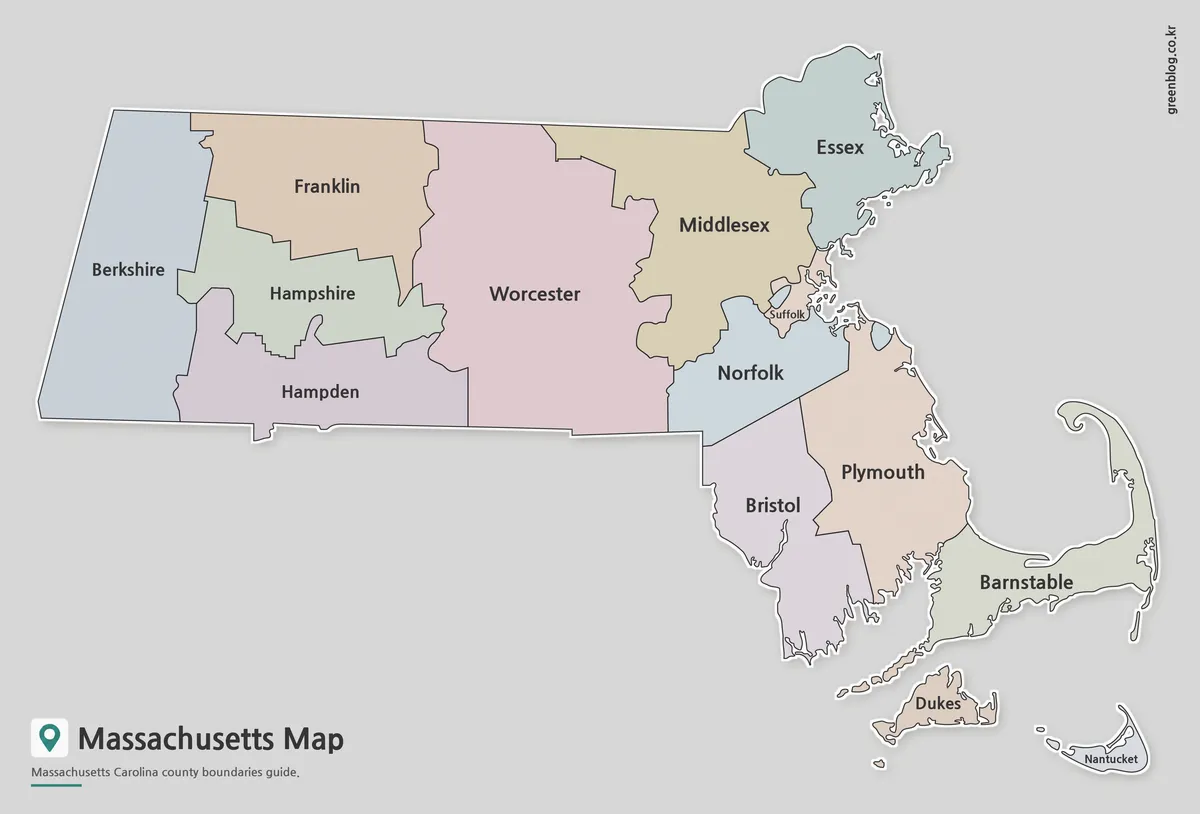
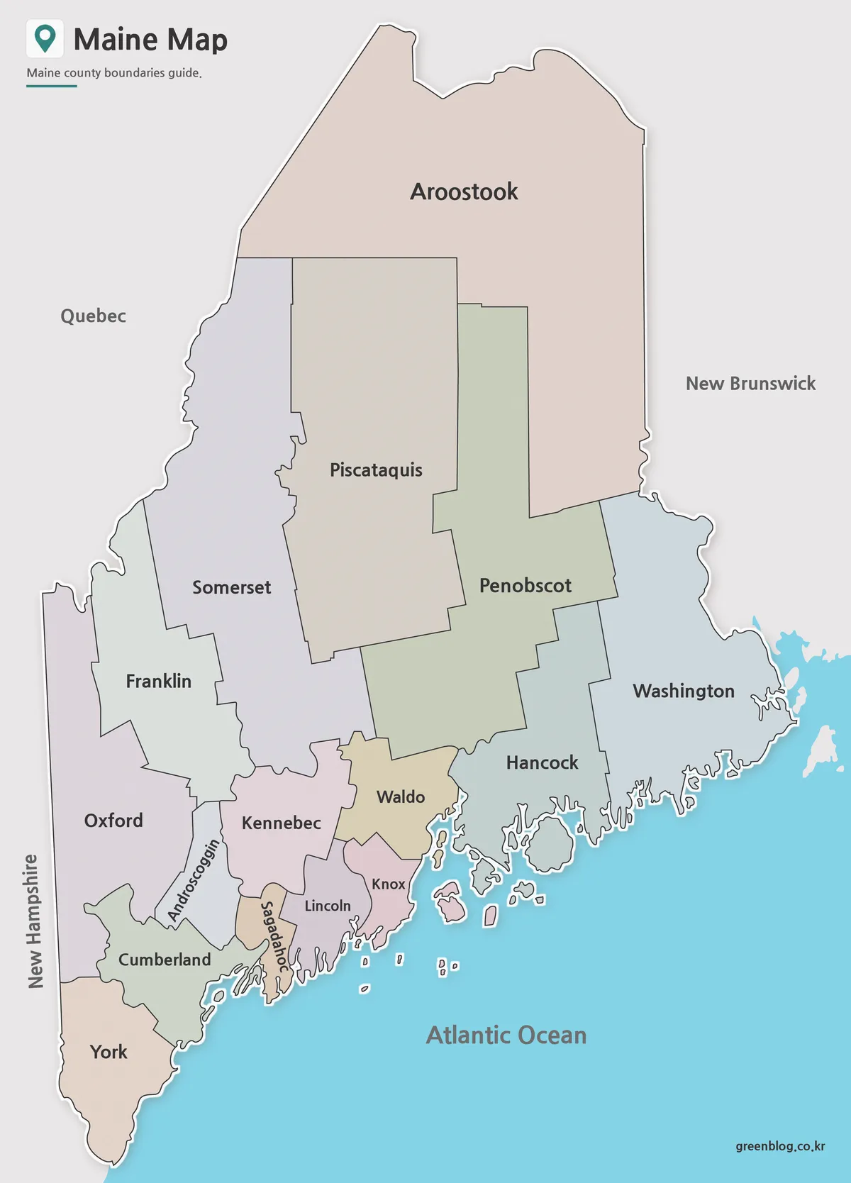
- Maine Map Collection | Printable County Maps in High Resolution
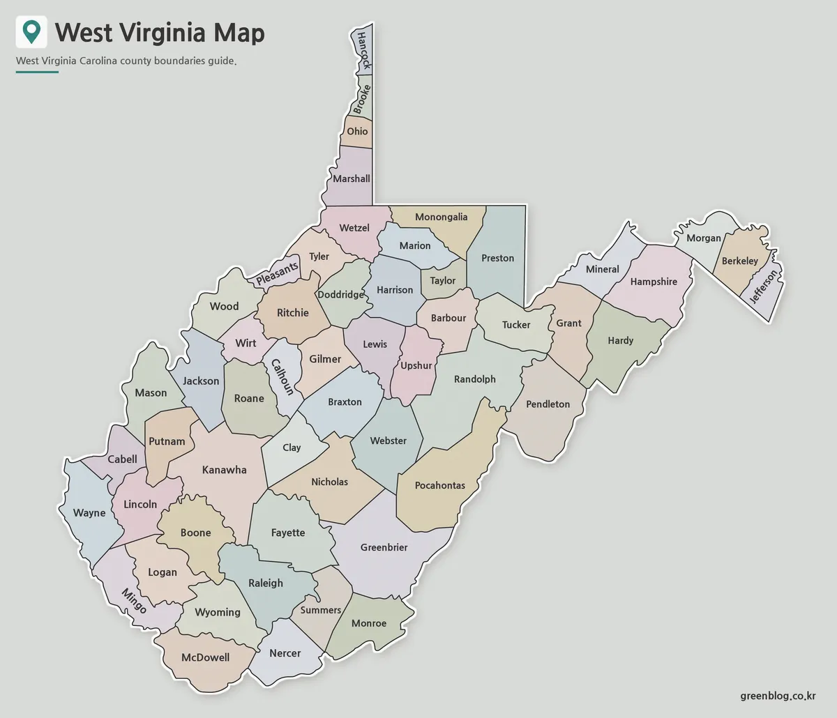
- West Virginia Map Download – Printable County Map Collection