
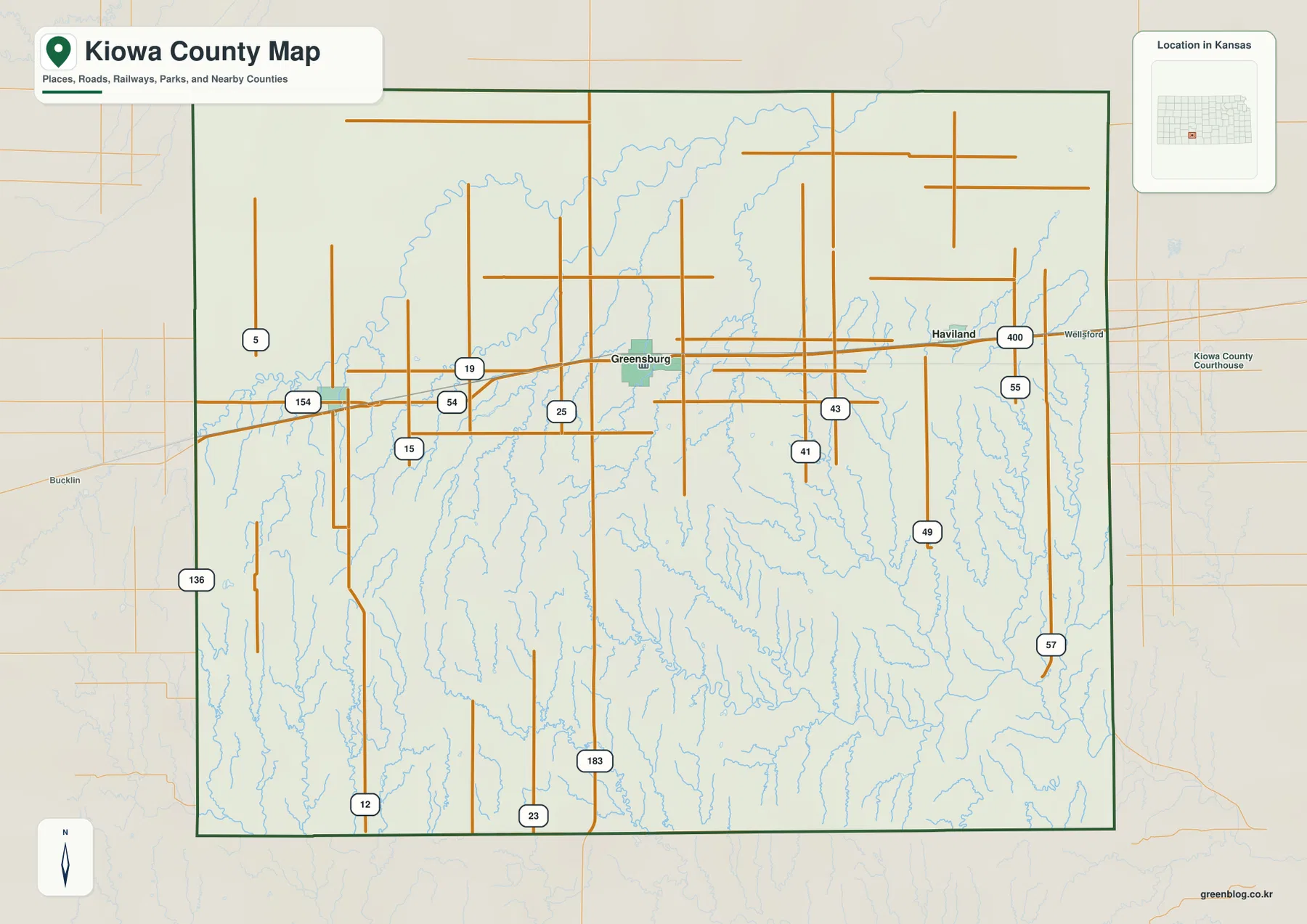
Kiowa County Kansas Map from Greensburg across Rattlesnake Creek to the Medicine Lodge River
Kiowa County lies in southwestern Kansas, where Greensburg provides the clearest reference for roads, settlement, creek valleys, and the county’s
Kiowa County lies in southwestern Kansas, where Greensburg provides the clearest reference for roads, settlement, creek valleys, and the county’s
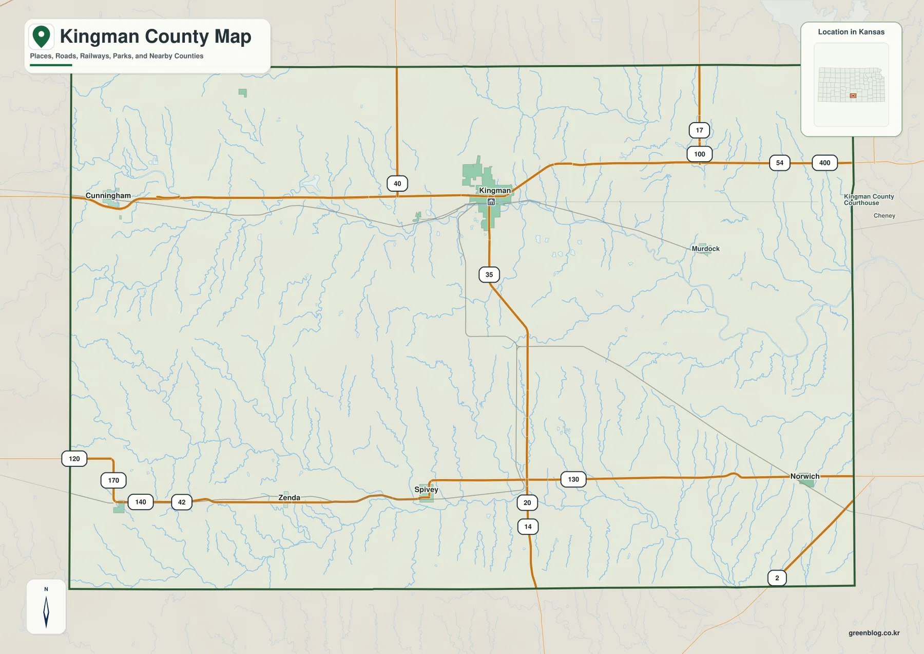
Kingman County lies in south-central Kansas, where the city of Kingman provides the clearest starting point for understanding roads, settlement,
Kingman County Map — Kingman, South Fork Ninnescah River, and the High Western Uplands Read More »
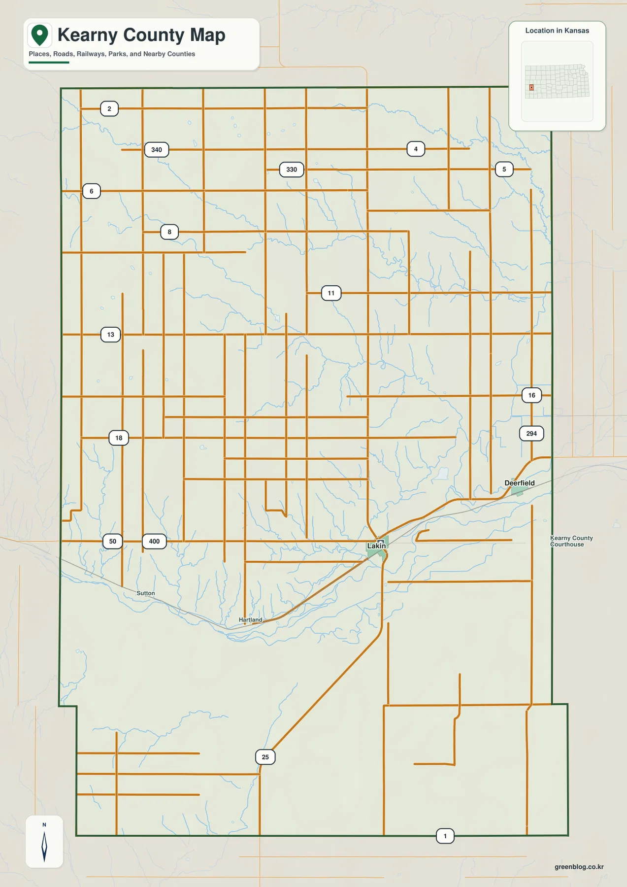
Kearny County lies in southwestern Kansas, where Lakin and Deerfield sit along the same broad Arkansas River transportation corridor. Lakin
Kearny County Map — Lakin and Deerfield along the Arkansas River Irrigation Corridor Read More »
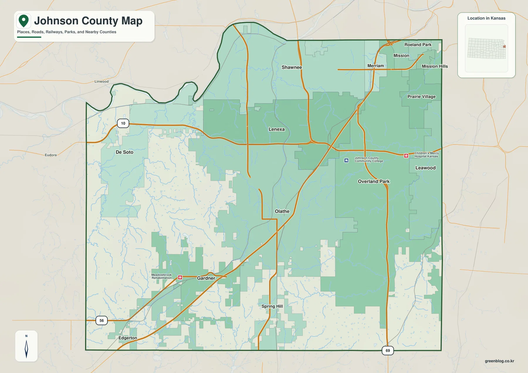
Johnson County forms the southwestern side of the Kansas City metropolitan area and contains one of the clearest urban-to-rural contrasts
Johnson County Kansas Map — Olathe, Overland Park, and Hills South of the Kansas River Read More »
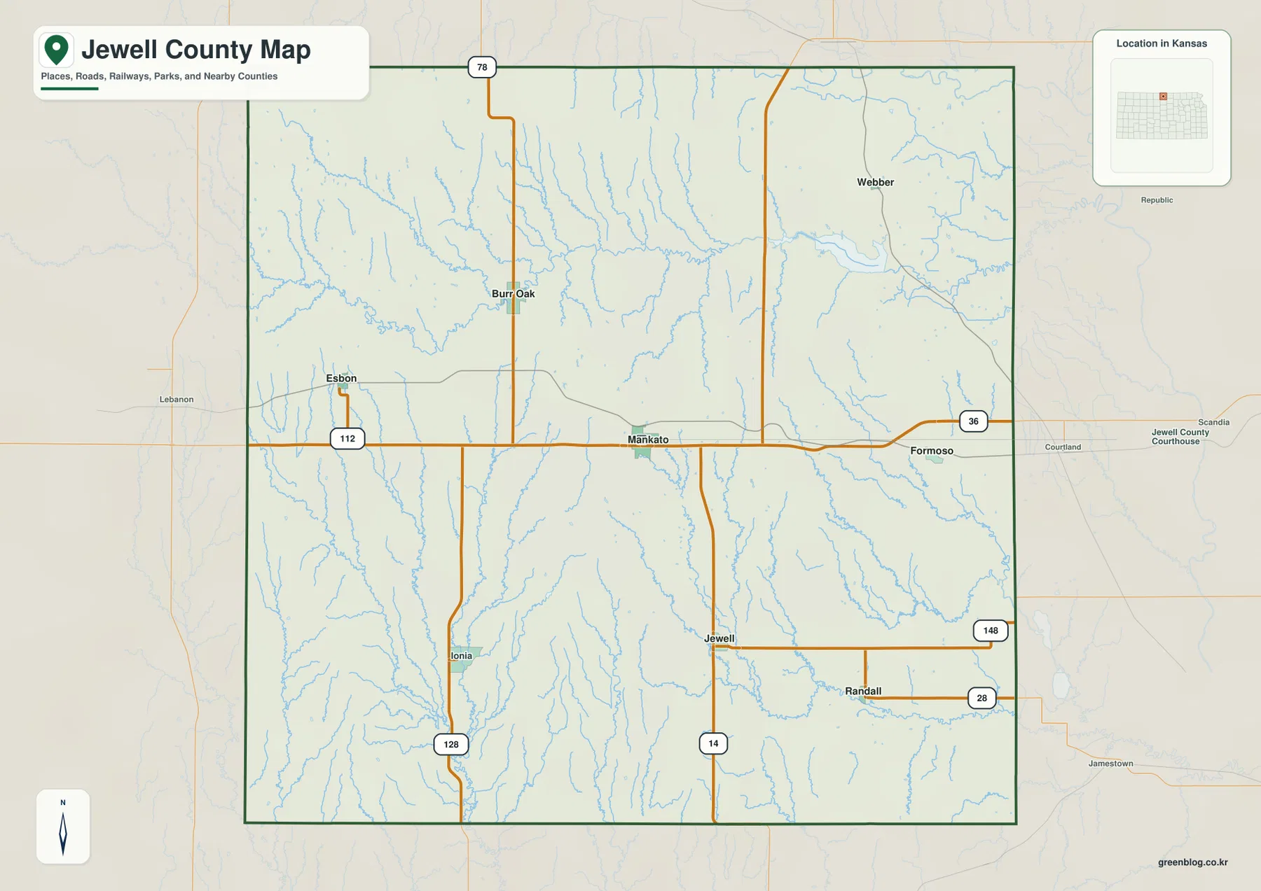
Jewell County lies along the Nebraska border in north-central Kansas, where Mankato is the county seat and the largest city
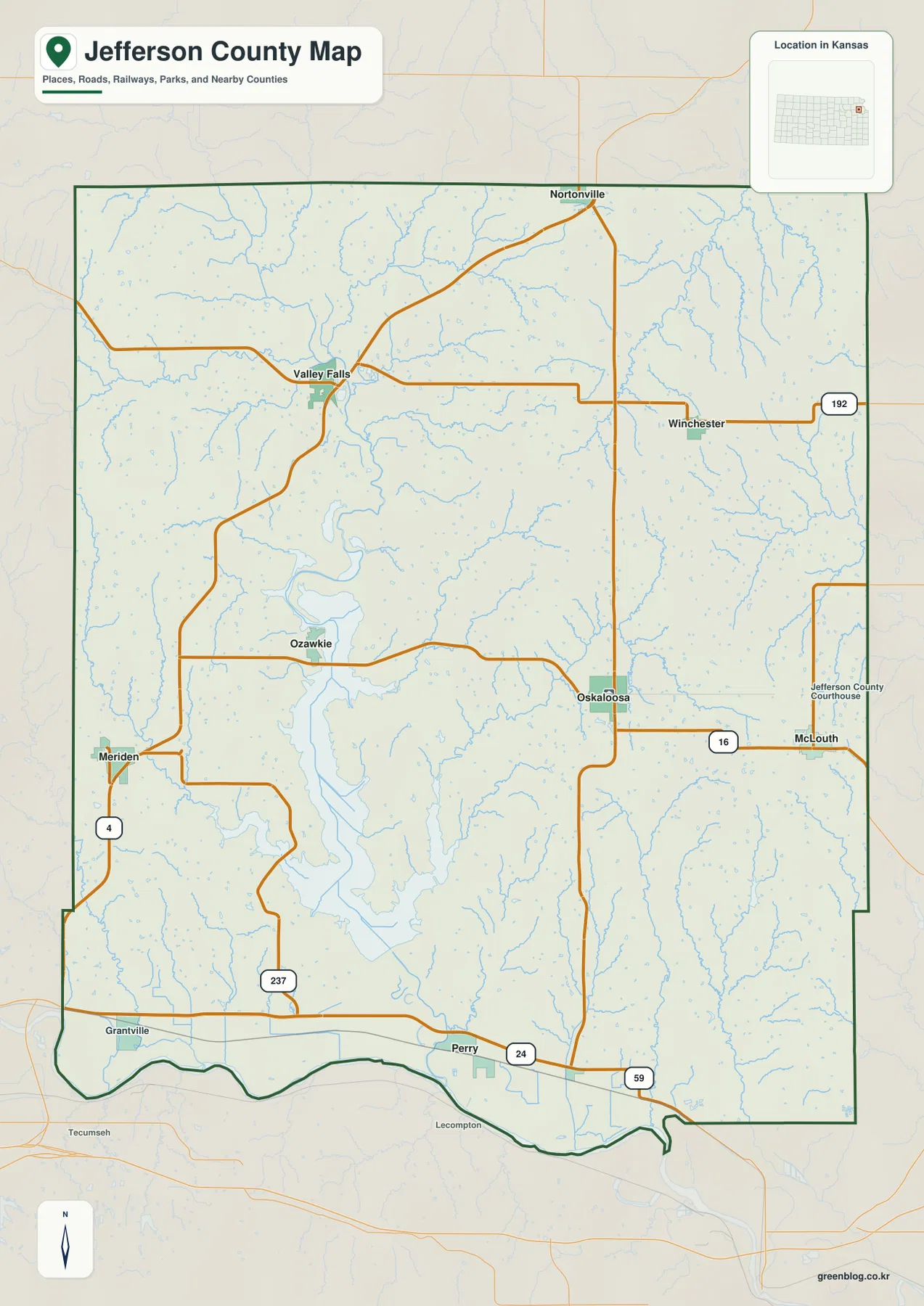
Jefferson County lies in northeastern Kansas, where Oskaloosa serves as the county seat while Valley Falls is the largest city
Jefferson County Kansas Map — Oskaloosa, Perry Lake, and the Kansas River Lowlands Read More »
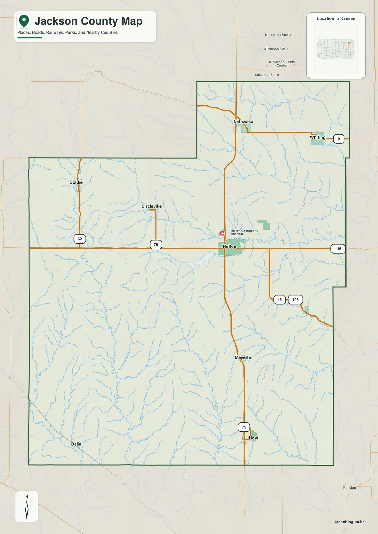
Jackson County lies in northeastern Kansas, where Holton provides the clearest starting point for understanding towns, roads, creek valleys, and
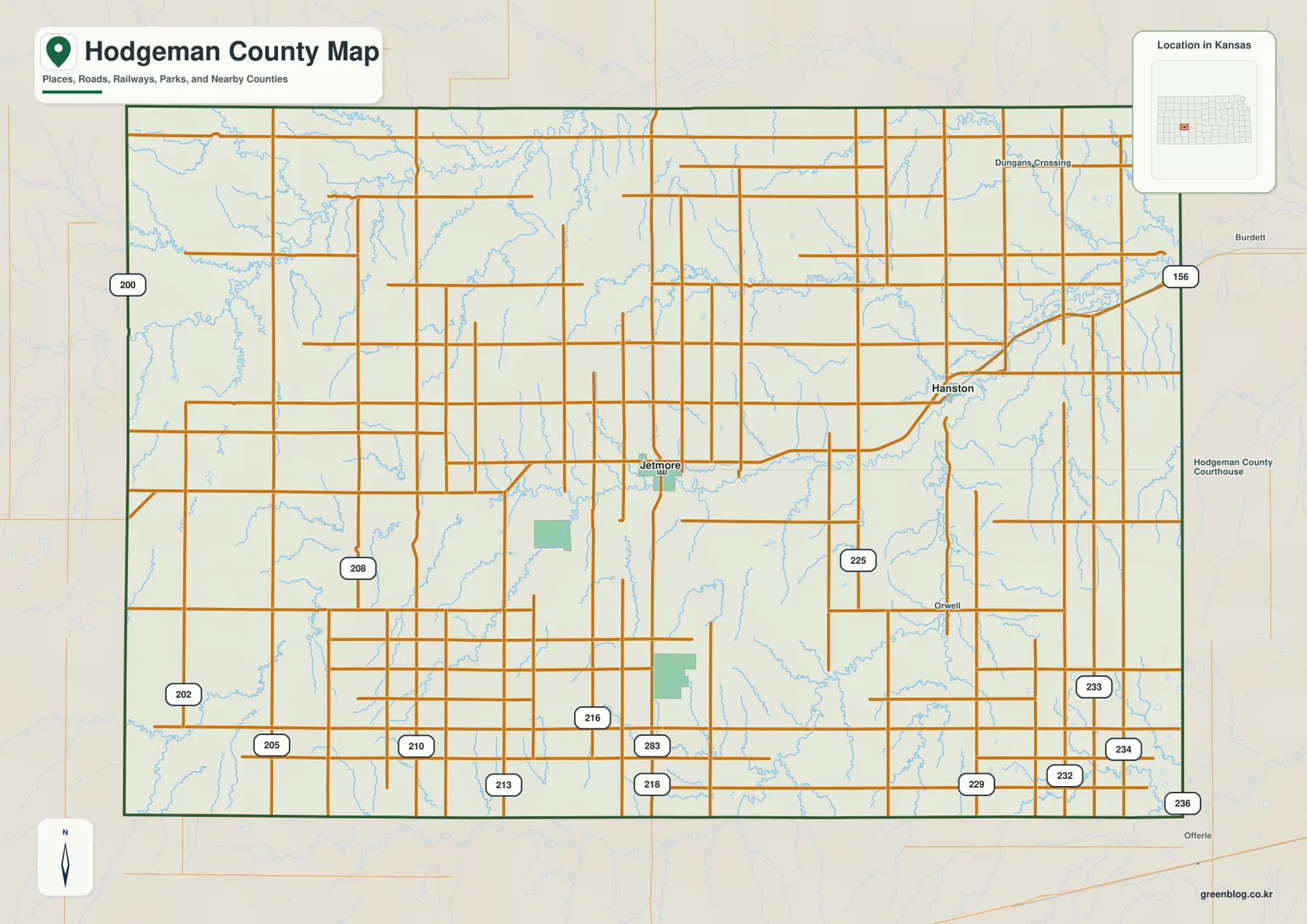
Hodgeman County sits in southwestern Kansas, and Jetmore is the easiest place to begin. It is the county seat and
Hodgeman County Map — Jetmore, Buckner Creek, and the Eastward Drop toward Hanston Read More »
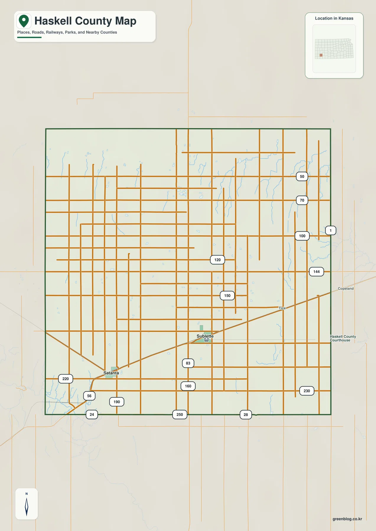
Haskell County lies in southwestern Kansas, where Sublette and Satanta provide the clearest anchors for understanding roads, settlement, drainage, and
Haskell County Kansas Map — Sublette and Satanta across the High Plains Read More »