
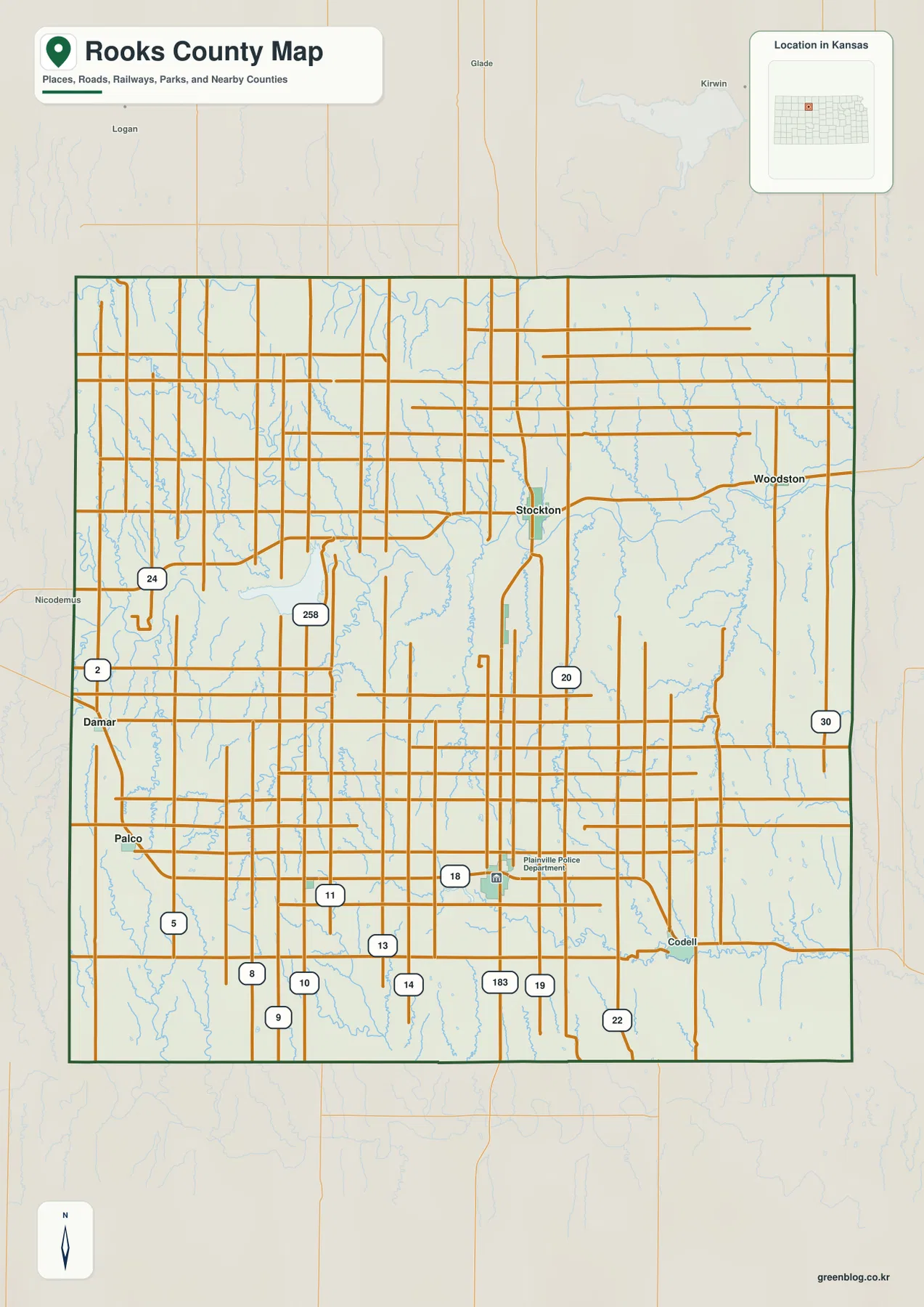
Rooks County Map from Stockton to Plainville — South Fork Solomon River and Western High Ground
Rooks County lies in northwestern Kansas, where Stockton and Plainville form two important centers across a broad rural landscape. US
Rooks County lies in northwestern Kansas, where Stockton and Plainville form two important centers across a broad rural landscape. US
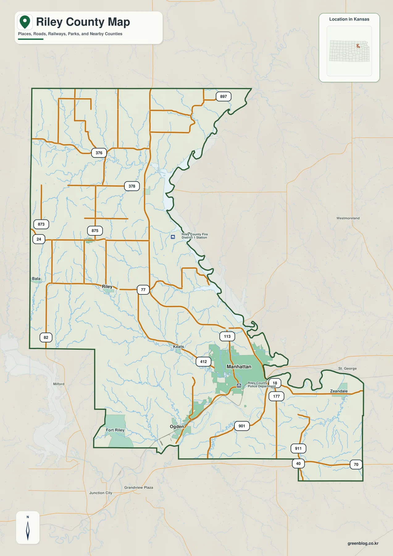
Riley County in northeastern Kansas combines a large urban center, a major military installation, a long reservoir shoreline, and deeply
Riley County Map — Manhattan, Fort Riley, Tuttle Creek, and the Kansas River Lowlands Read More »
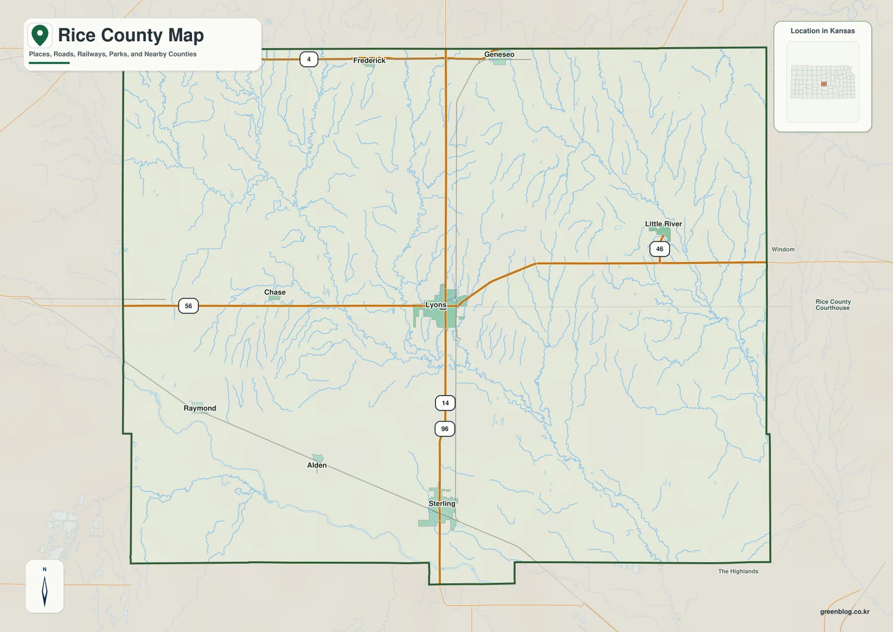
Rice County occupies a central part of Kansas where Lyons and Sterling stand out against a wide rural landscape. US
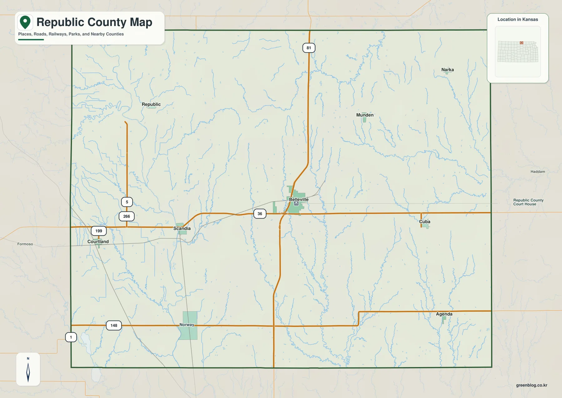
Republic County lies along the Nebraska line in north-central Kansas, with Belleville serving as the main road and county-service center.
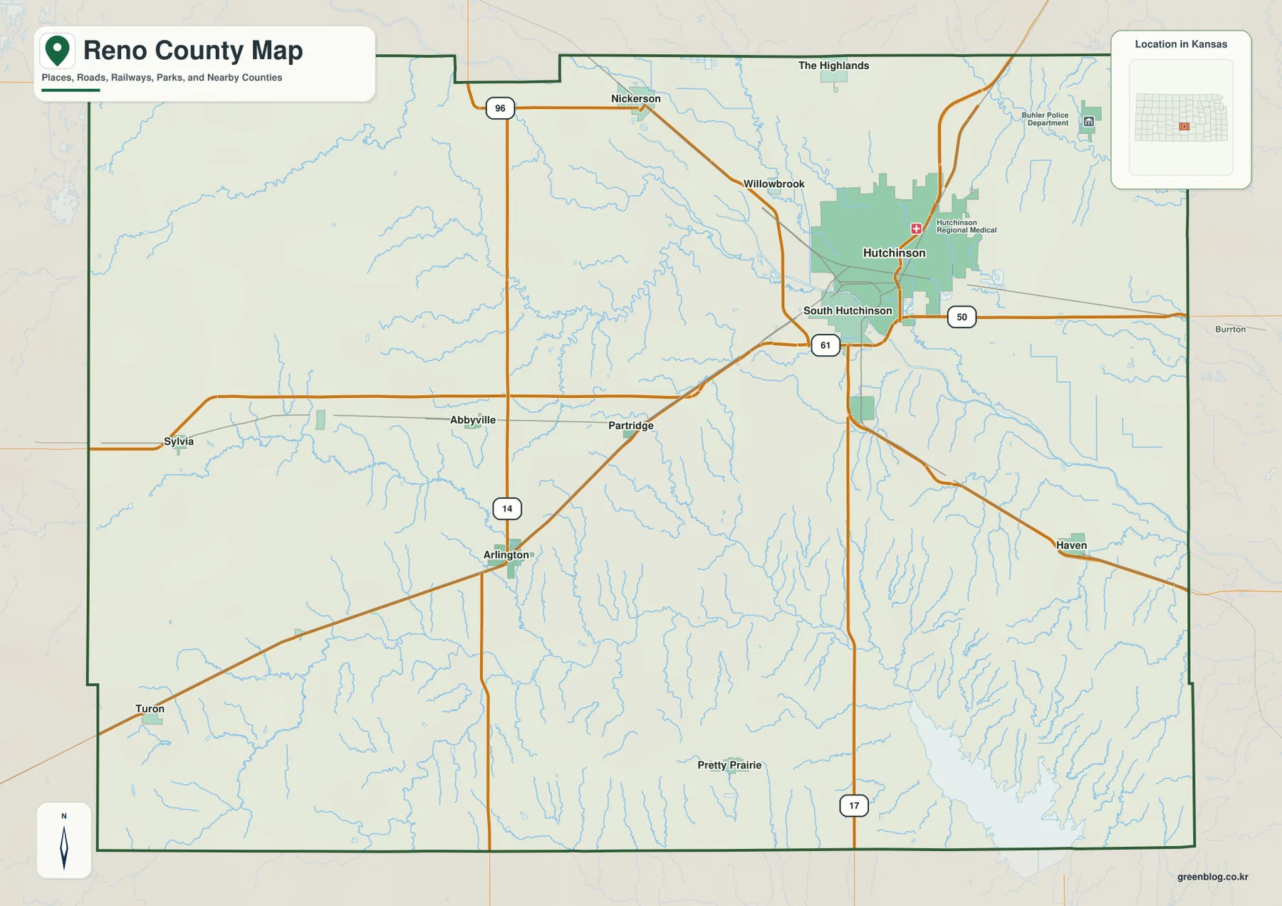
Reno County sits in south-central Kansas, with Hutchinson forming a much larger urban center than the surrounding communities. South Hutchinson,
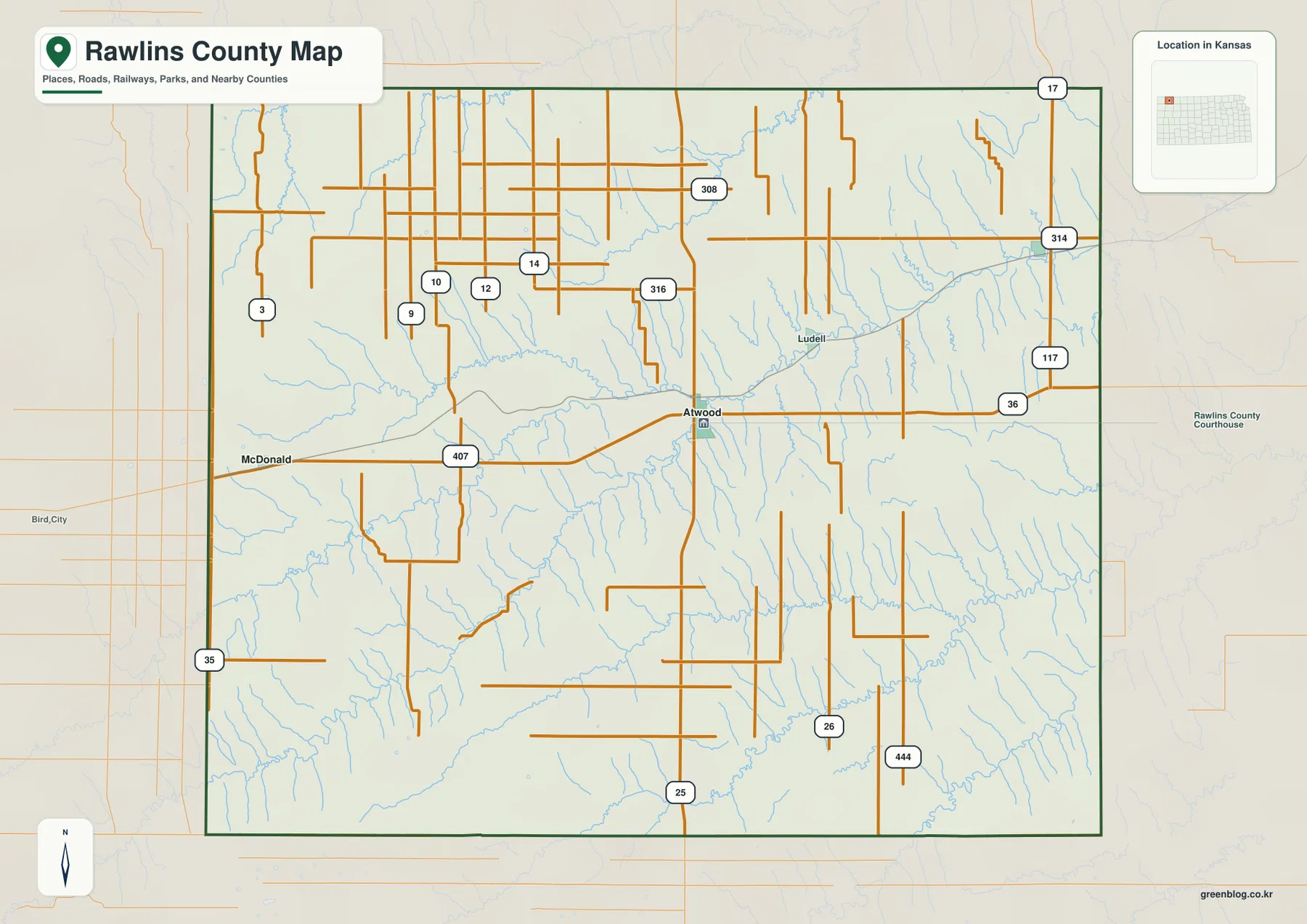
Rawlins County occupies the far northwestern part of Kansas, where Atwood serves as the main road and service center for
Rawlins County Map — Atwood Crossroads, Beaver Creek Forks, and High Plains Relief Read More »
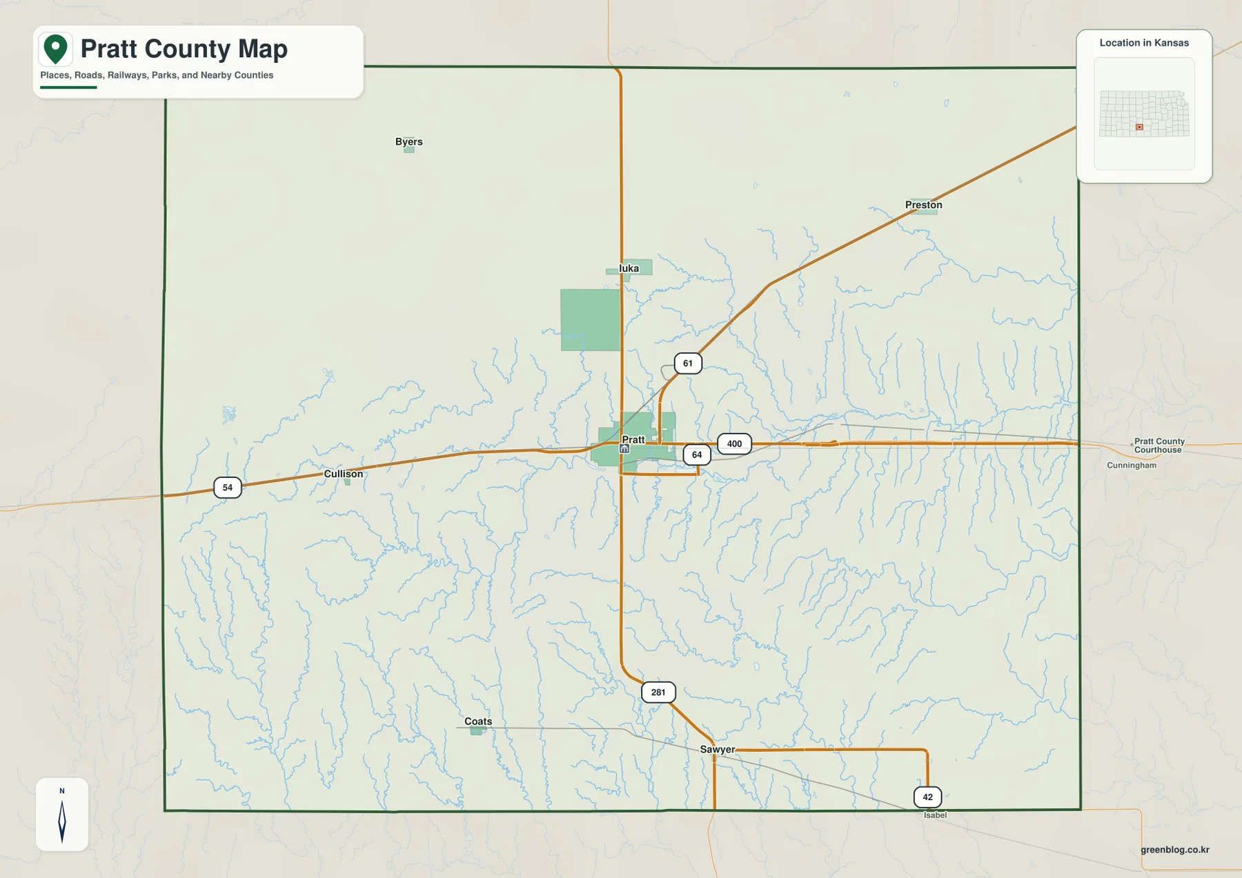
Pratt County sits in south-central Kansas, where the city of Pratt is the obvious road and service center for a
Pratt County Map — Pratt on US 54, Ninnescah River Valleys, and the Western Sandhills Read More »
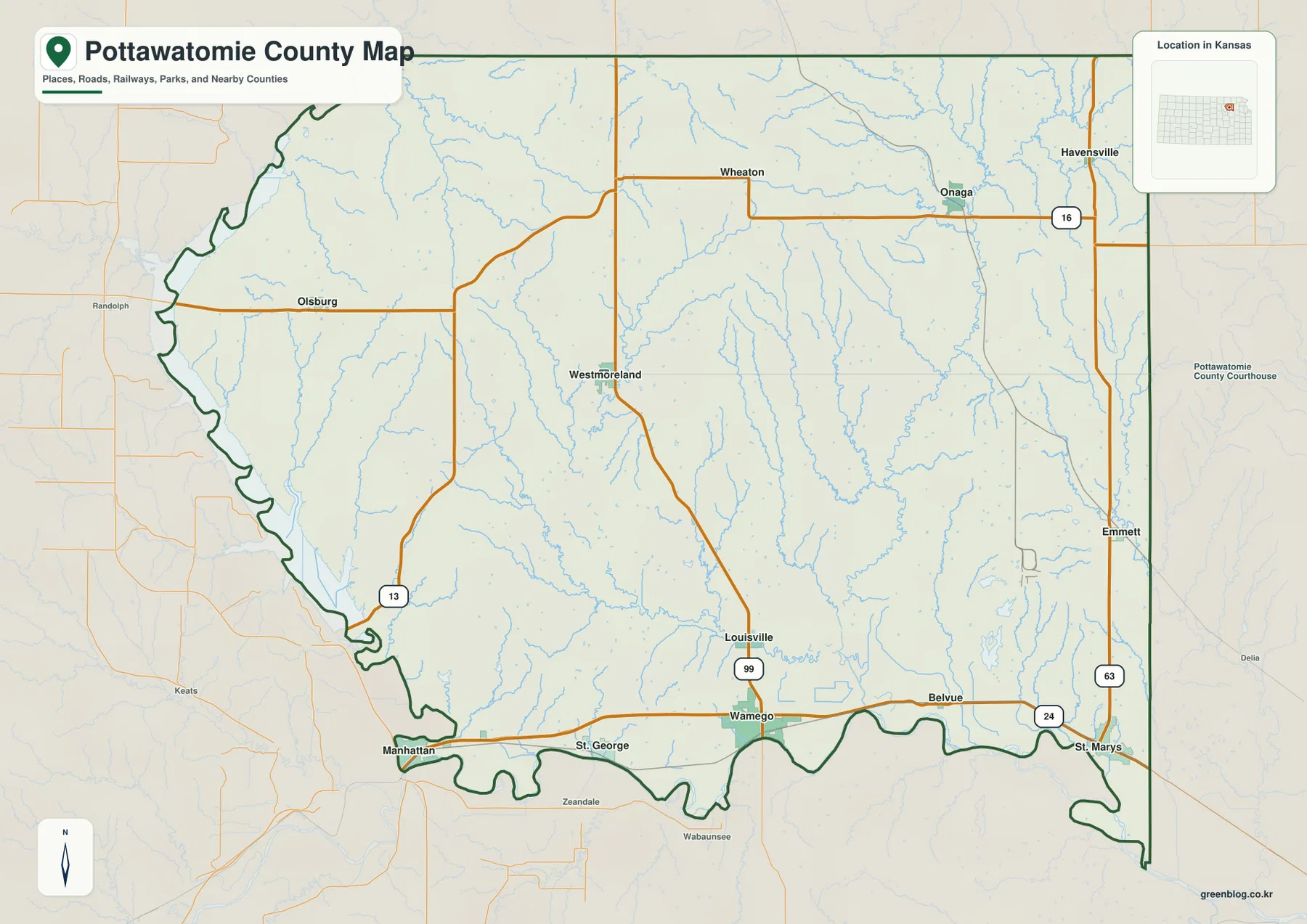
Pottawatomie County in northeastern Kansas is split between the Kansas River lowlands in the south and a much more dissected
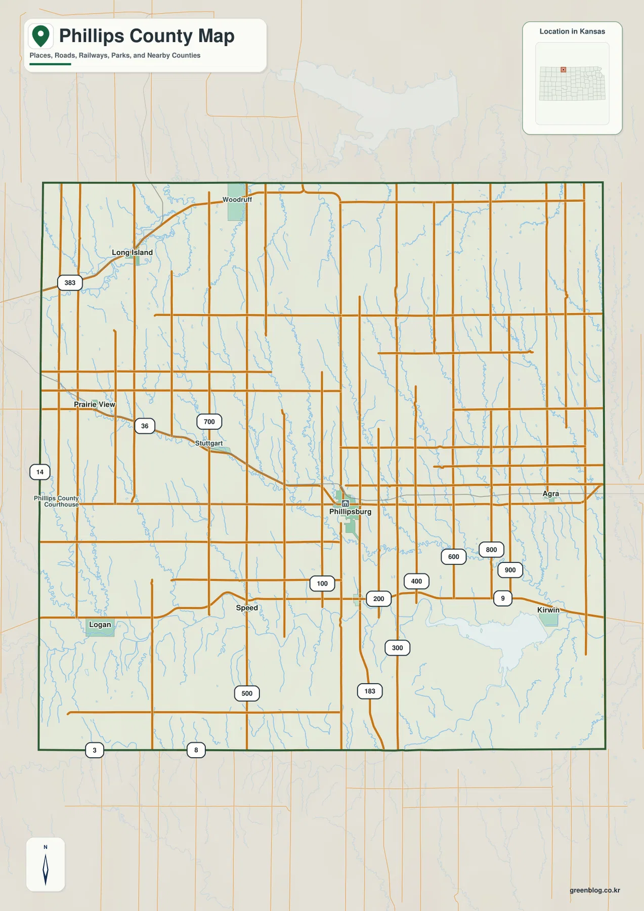
Phillips County lies along the Nebraska state line in northern Kansas, with Phillipsburg serving as the strongest town and road