
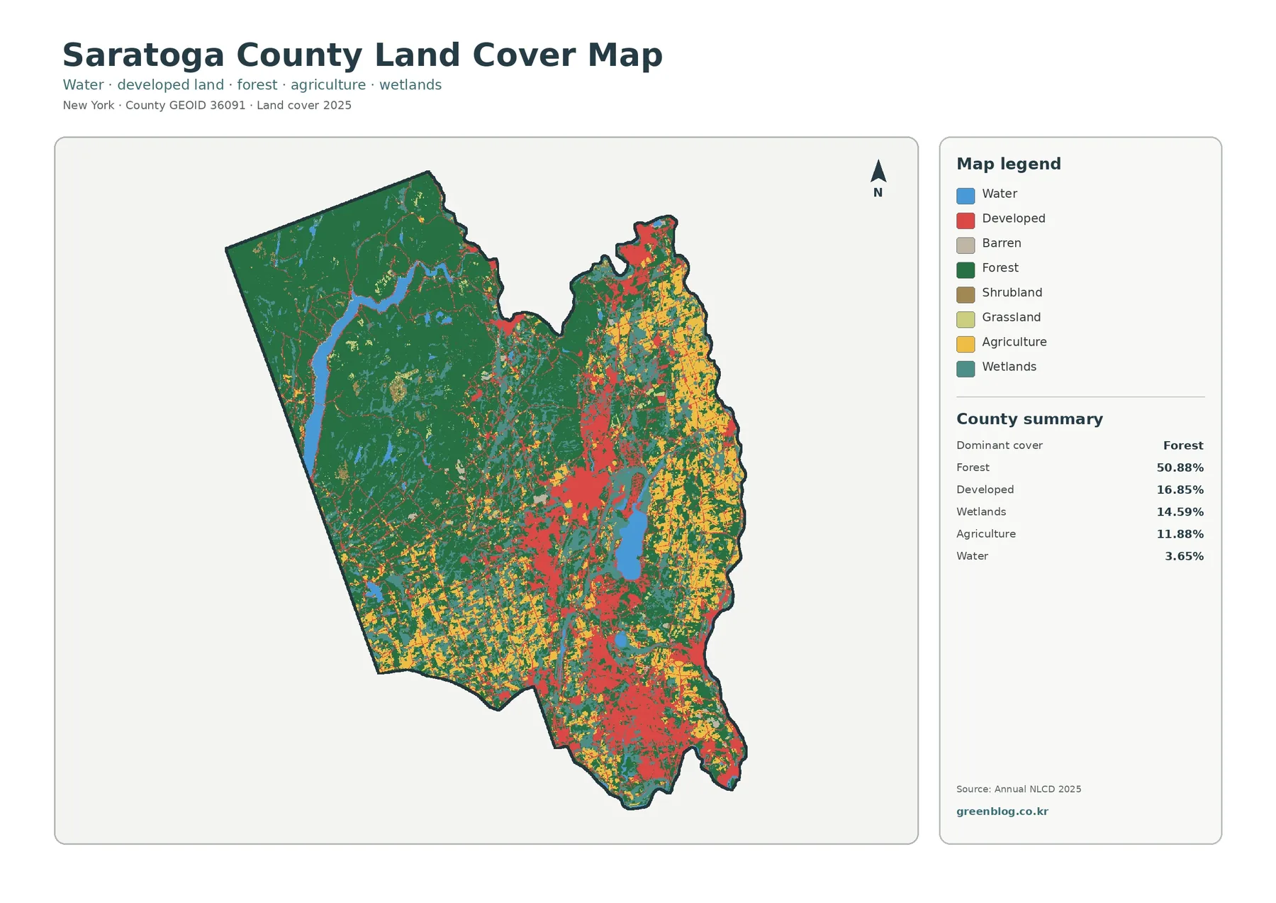
Saratoga County New York Land Cover Map: Forest-Dominated West, Eastern Farms, and Urban Corridors
Saratoga County has one of the clearest west-to-east land-cover contrasts in this New York map series. Forest covers 50.88% of […]
Saratoga County has one of the clearest west-to-east land-cover contrasts in this New York map series. Forest covers 50.88% of […]
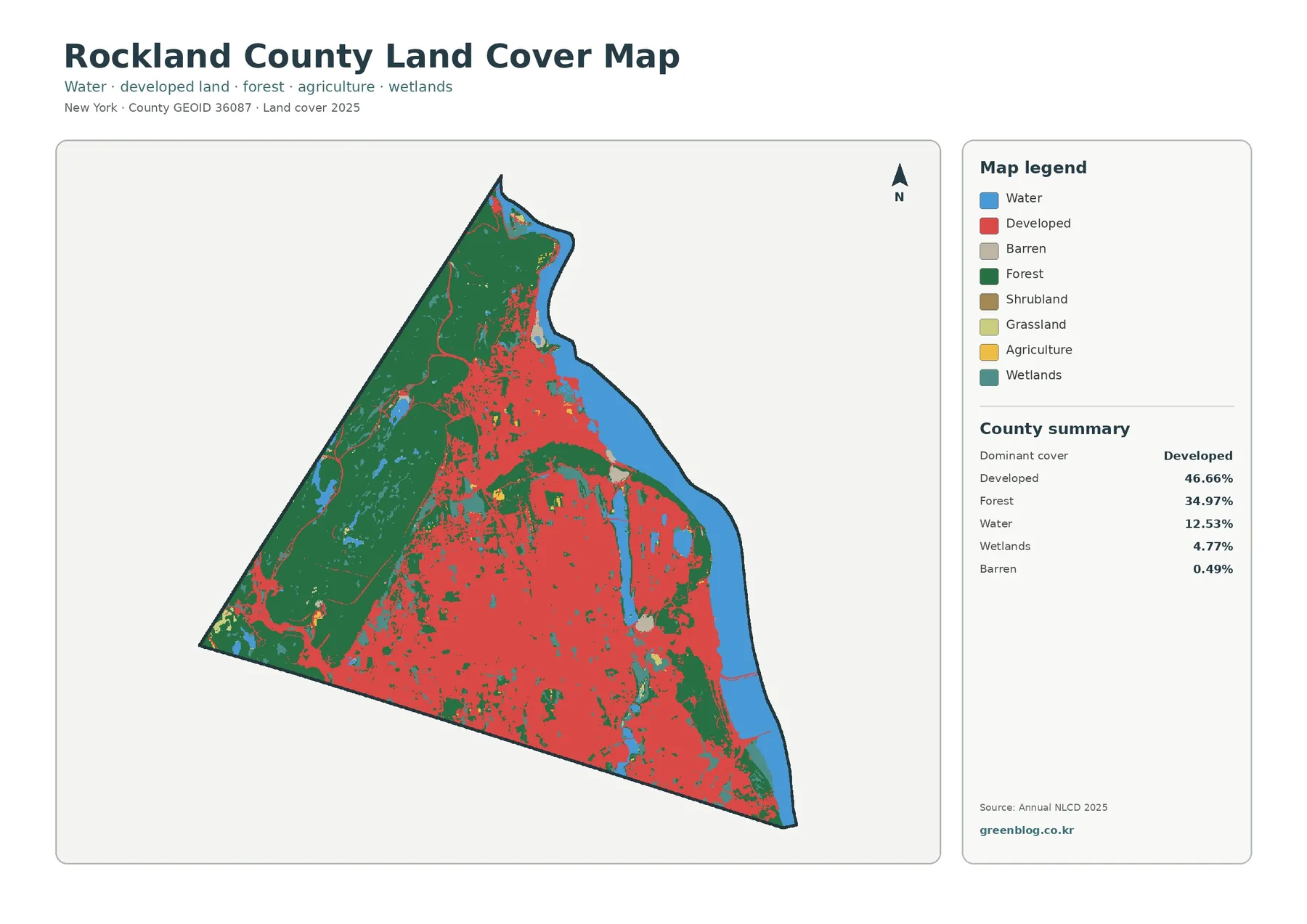
Rockland County has a sharp land-cover contrast that is easy to see even before reading the legend. Developed land spreads
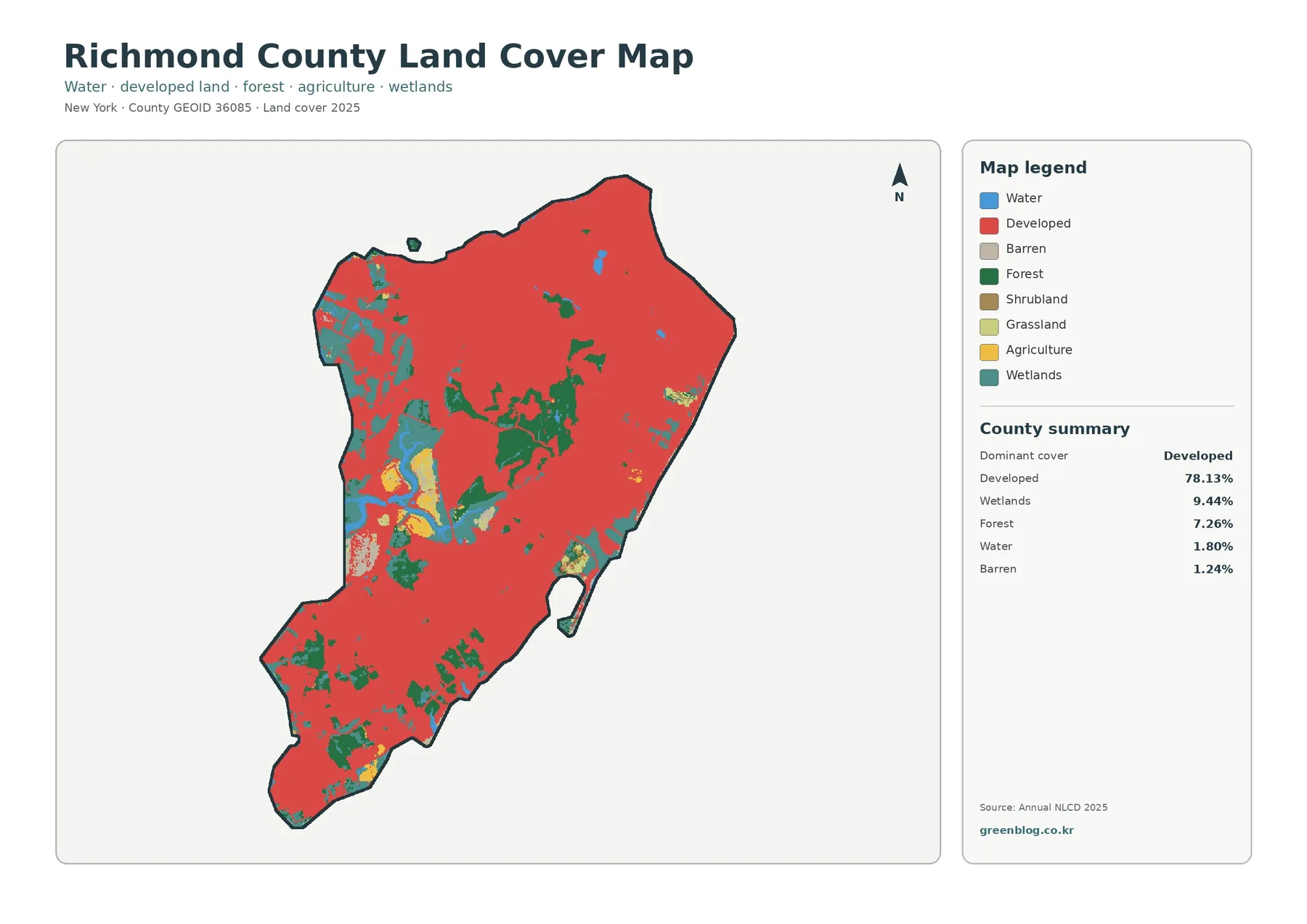
Richmond County covers Staten Island, and its 2025 land-cover summary is dominated by developed land at 78.13%. That figure is
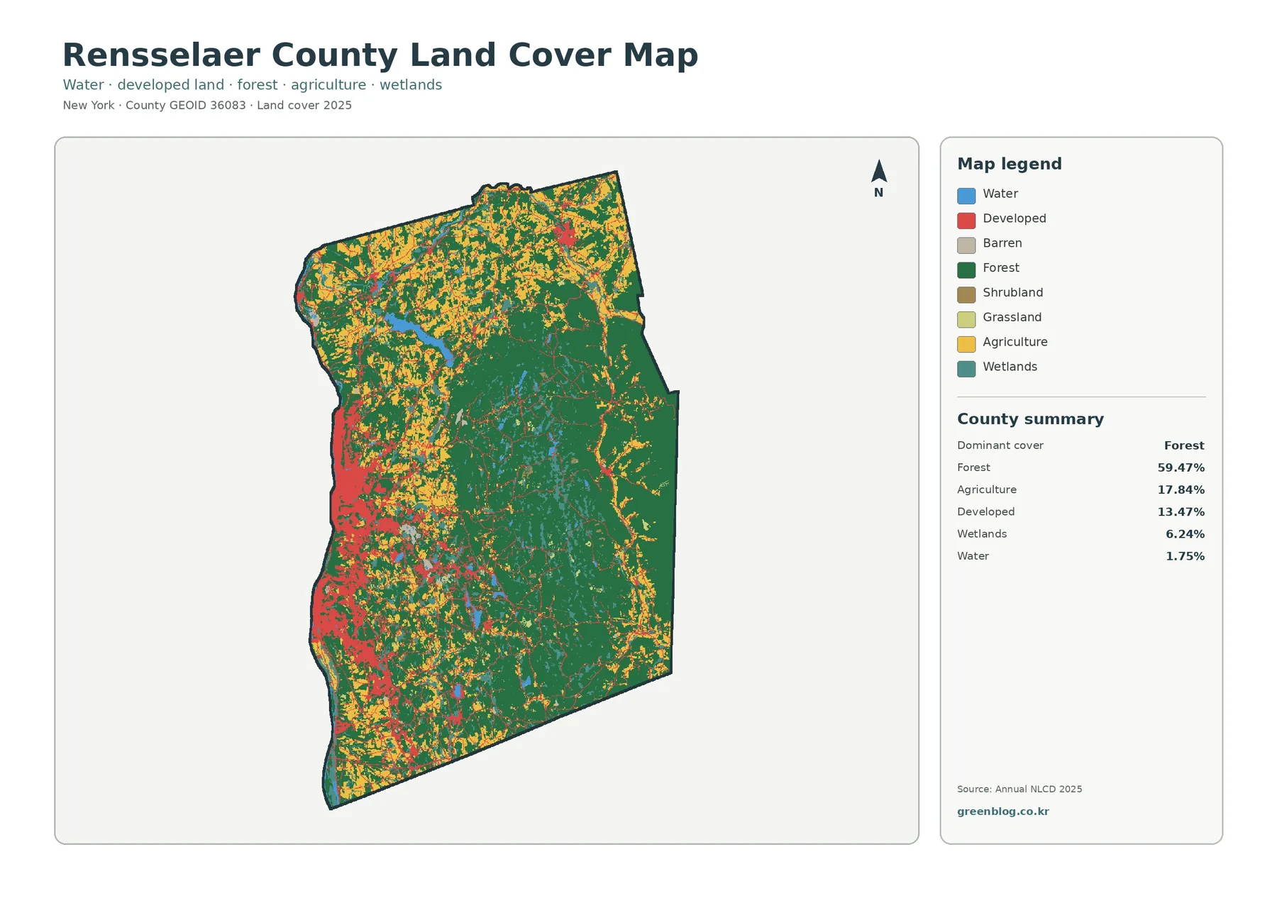
Rensselaer County sits on New York’s eastern side, with a striking contrast between the Hudson River side of the county
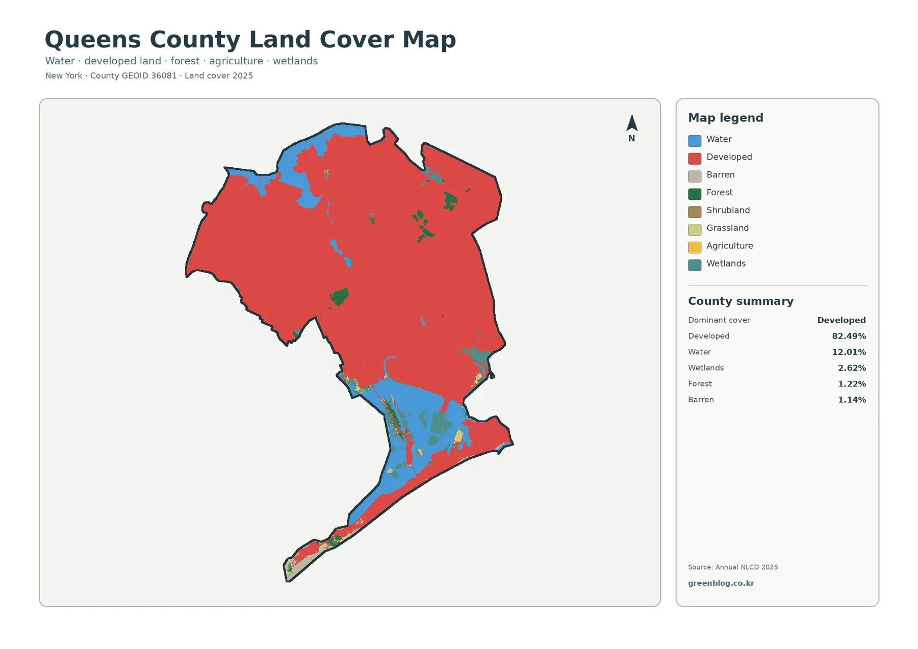
Queens County is overwhelmingly urban in the 2025 land-cover summary, but the county is not a single uninterrupted block of
Queens County New York Land Cover Map — An Urban Surface Framed by Jamaica Bay Read More »
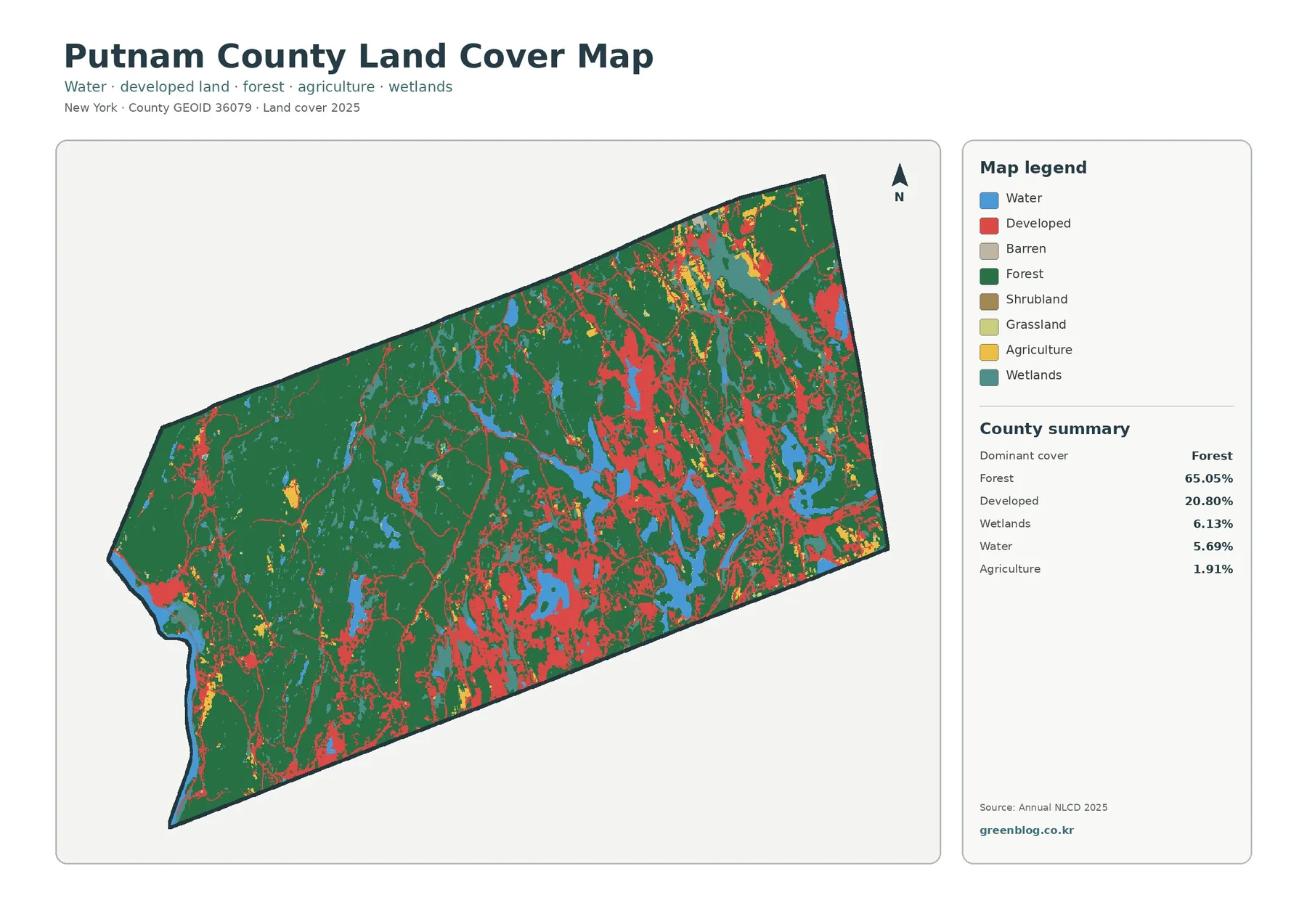
Putnam County is overwhelmingly wooded in the 2025 land-cover map, but the county is not a continuous block of forest.
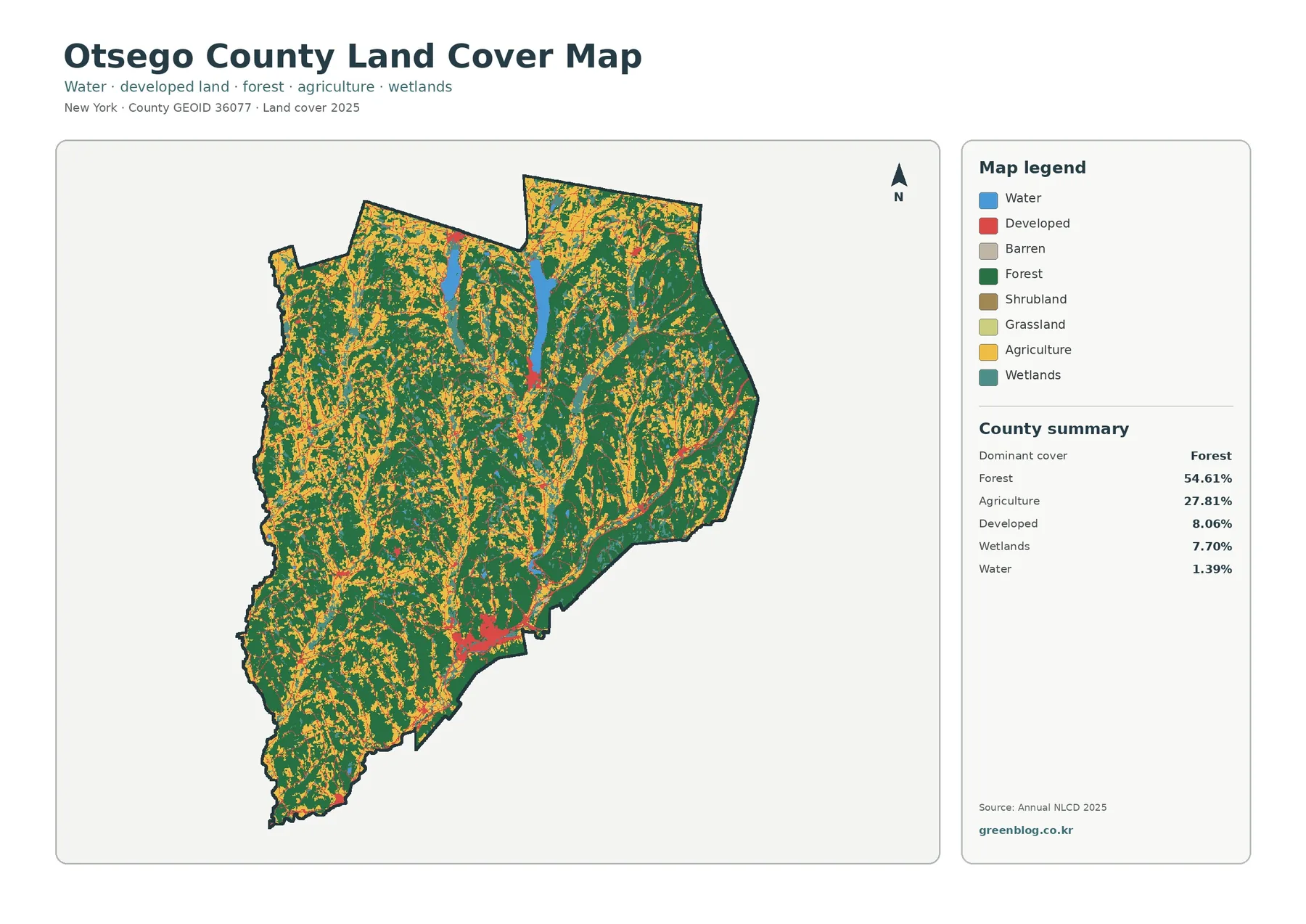
Forest is the clearest feature in Otsego County’s 2025 land-cover picture. It accounts for 54.61% of the mapped county, while
Otsego County New York Land Cover Map – Forest, Farmland, Lakes, and JPG Download Read More »
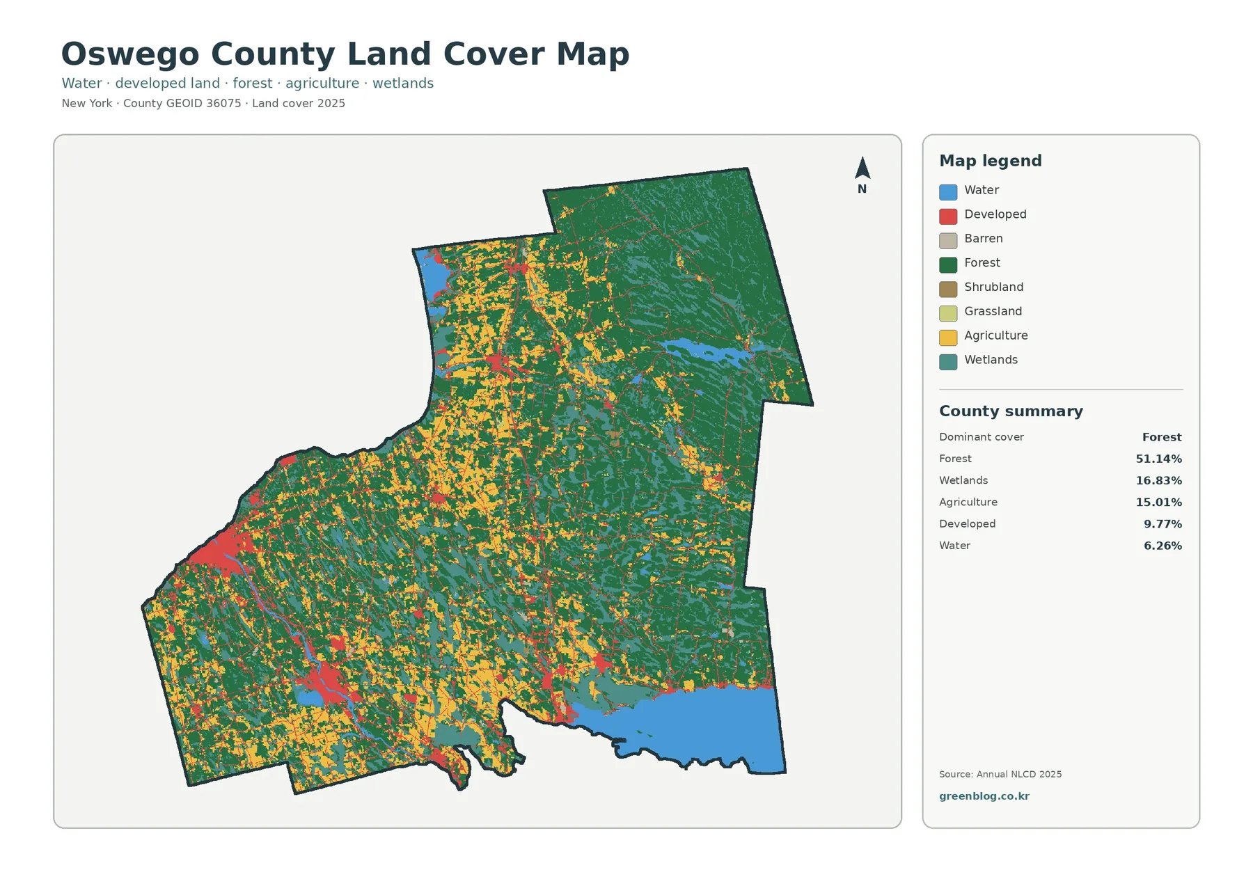
Forest is the dominant 2025 land-cover class in Oswego County, accounting for 51.14% of the mapped area. Wetlands add another
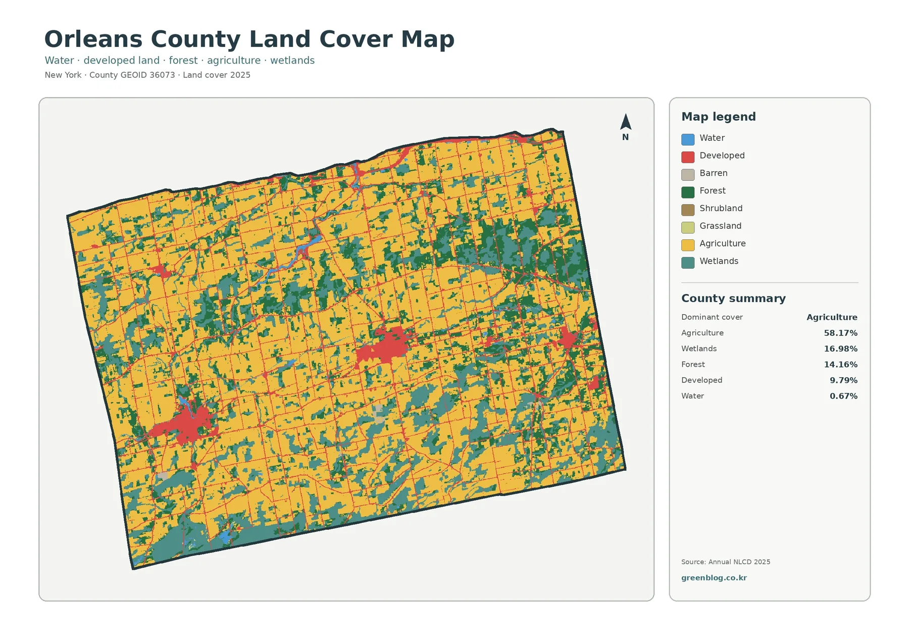
Agriculture is the defining surface pattern in Orleans County in the 2025 land-cover summary, accounting for 58.17% of the mapped