
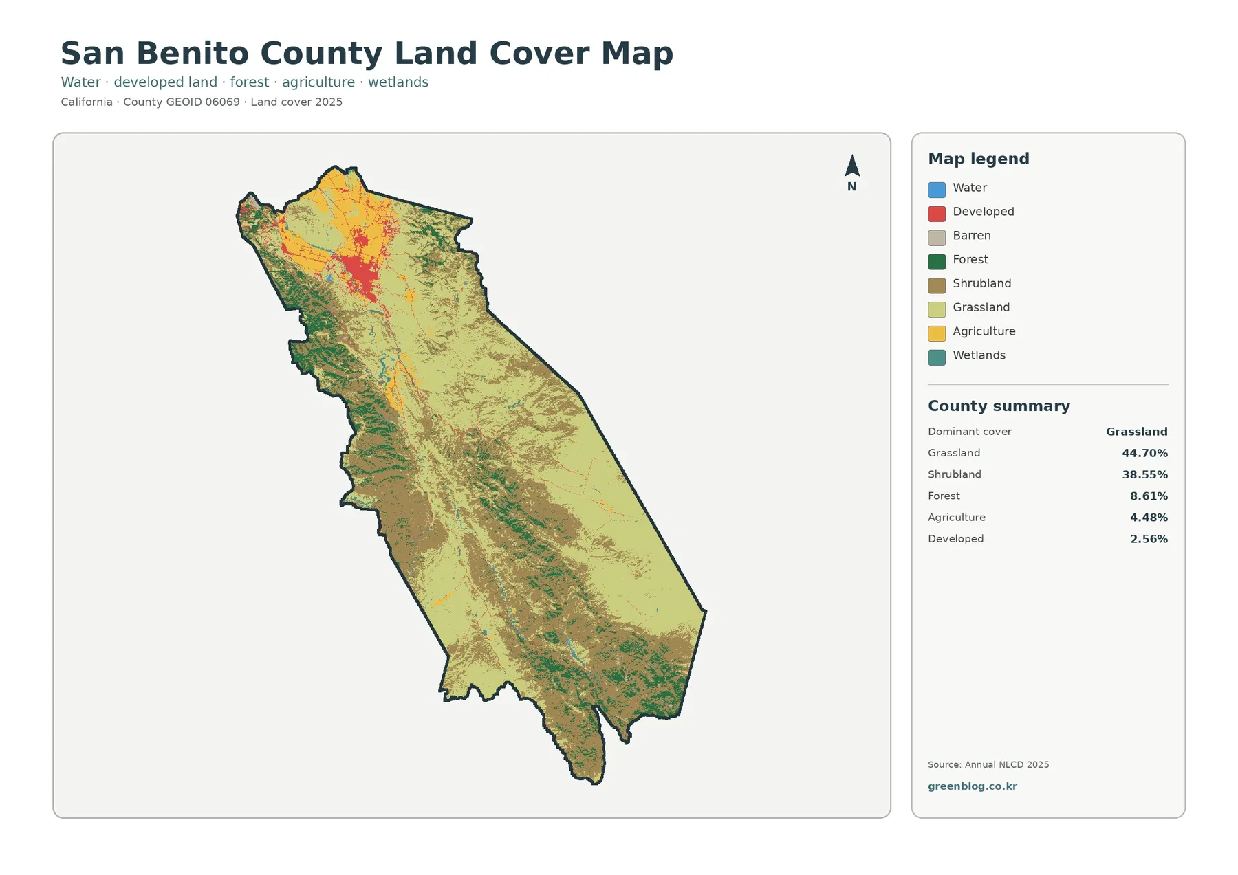
San Benito County California Land Cover Map: Open Grass and Shrub Country with a Compact Northern Urban Core
San Benito County is mostly open land cover rather than built surface. In the 2025 summary, grassland accounts for 44.70% […]
San Benito County is mostly open land cover rather than built surface. In the 2025 summary, grassland accounts for 44.70% […]
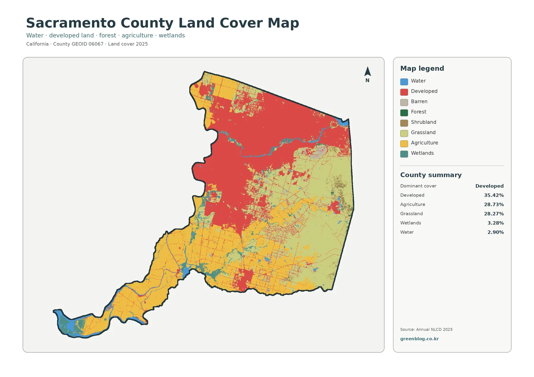
Sacramento County’s 2025 land-cover map is defined by an unusually close three-way balance. Developed cover leads at 35.42%, but agriculture
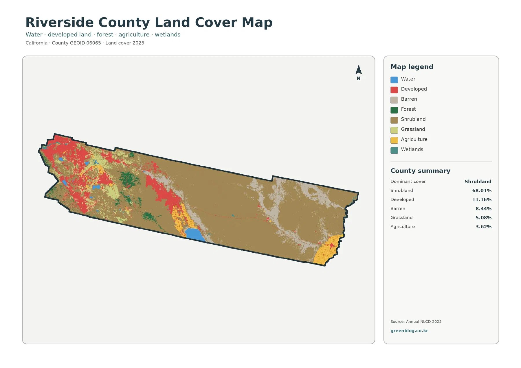
Riverside County stretches across a landscape where developed land is highly concentrated rather than evenly spread. The 2025 map shows
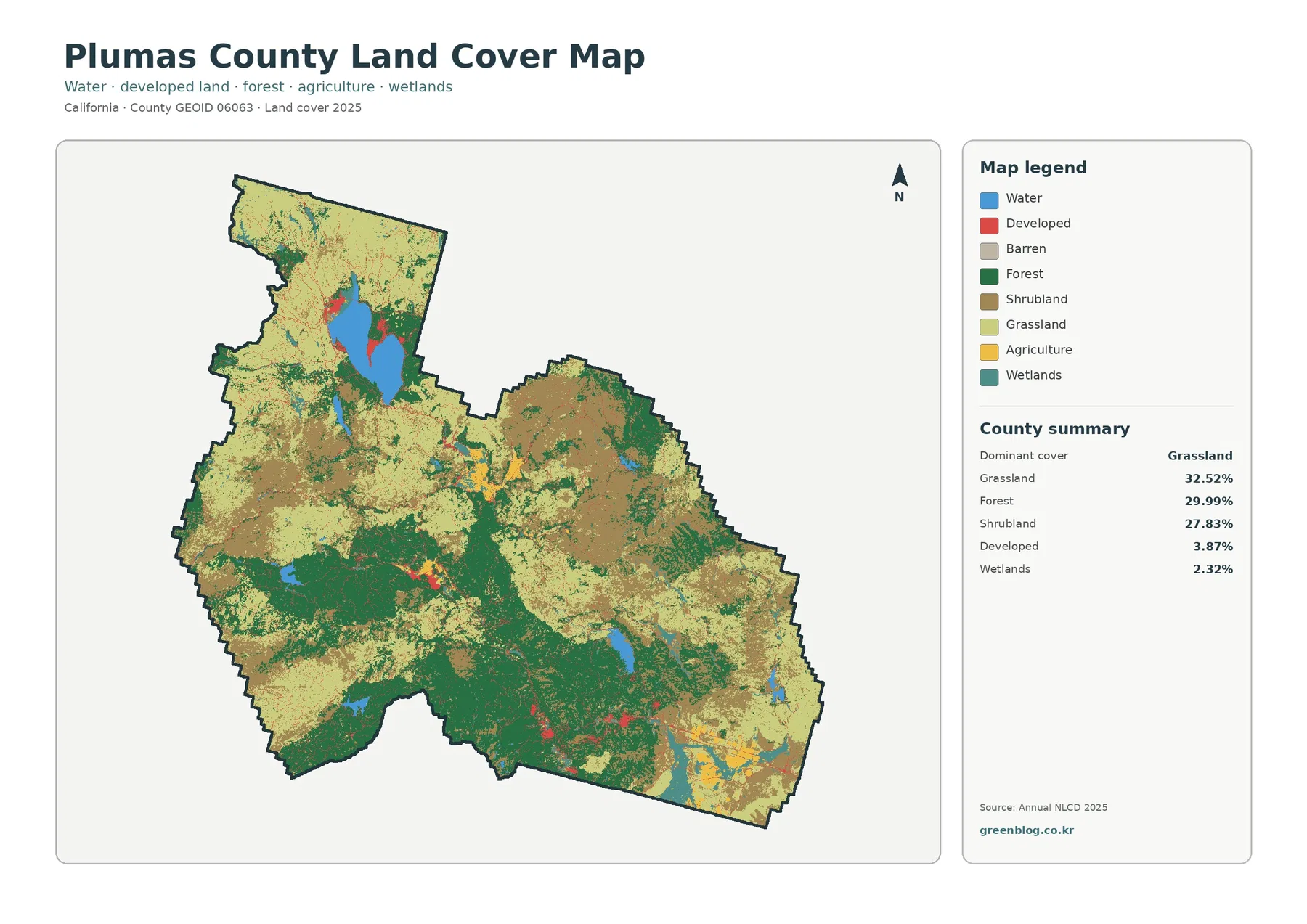
Plumas County has a land-cover profile that is unusually balanced among three large natural classes. In the supplied 2025 map,
Plumas County California Land Cover Map: Three Major Natural Covers Around Lake Almanor Read More »
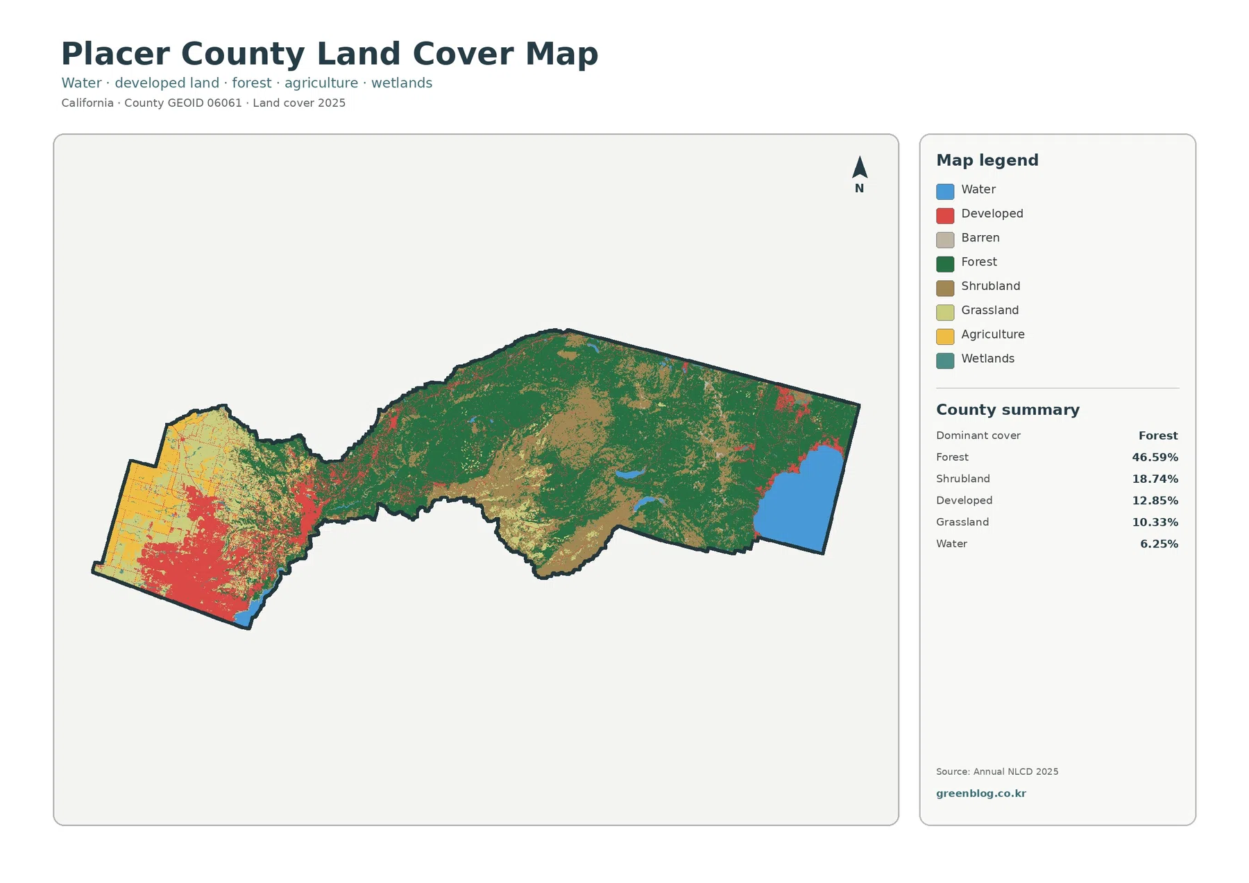
Placer County stretches from the lower, more urbanized western side of the county across the Sierra Nevada to Lake Tahoe.
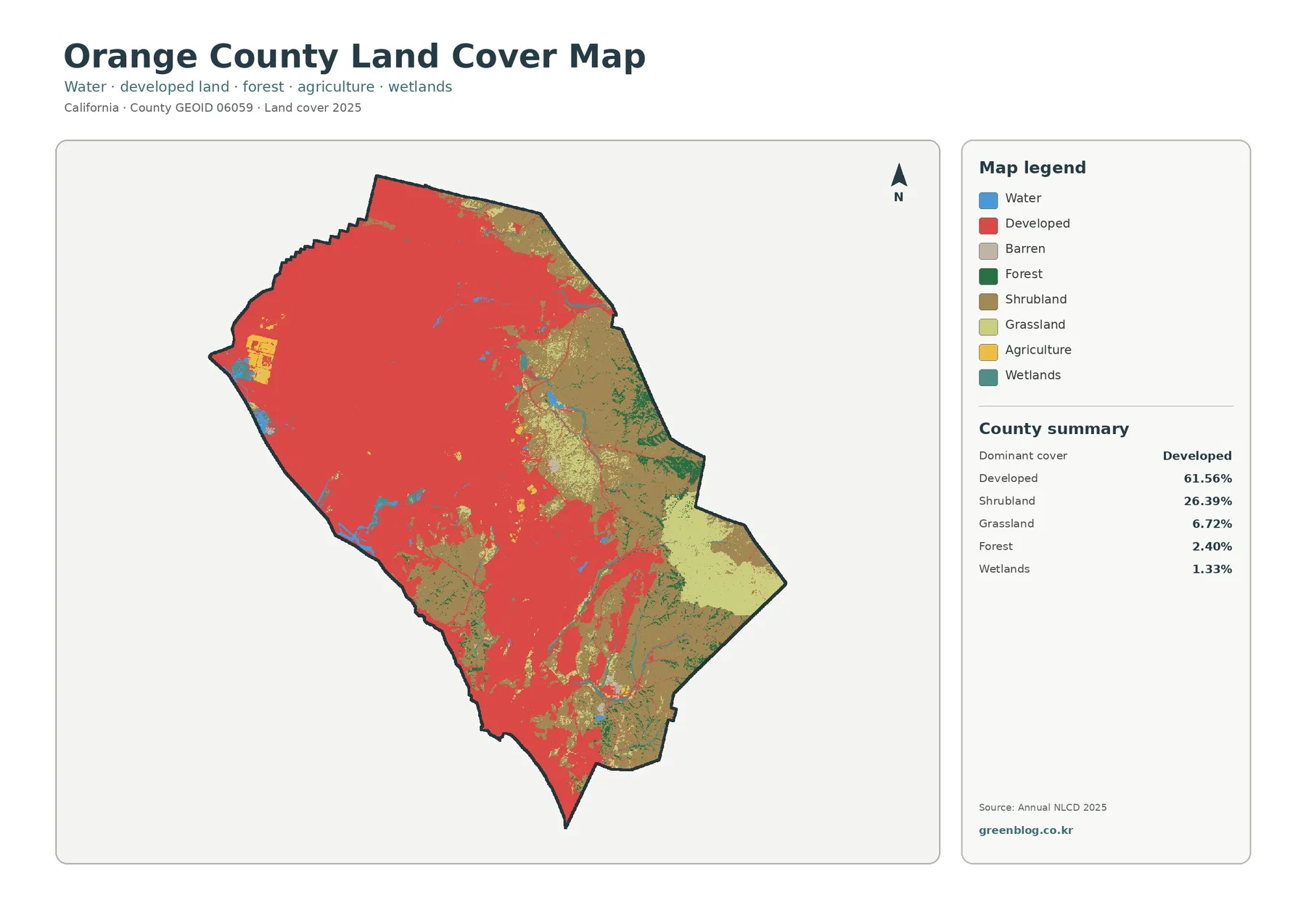
Orange County looks very different from most of the California counties in this map series because developed cover is the
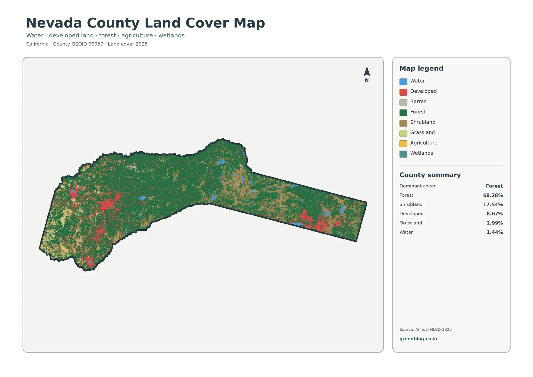
Nevada County has a land-cover pattern that makes more sense once its long east-west shape is noticed. Most of the
Nevada County California Land Cover Map | Forest Between Western Cities and Truckee Read More »
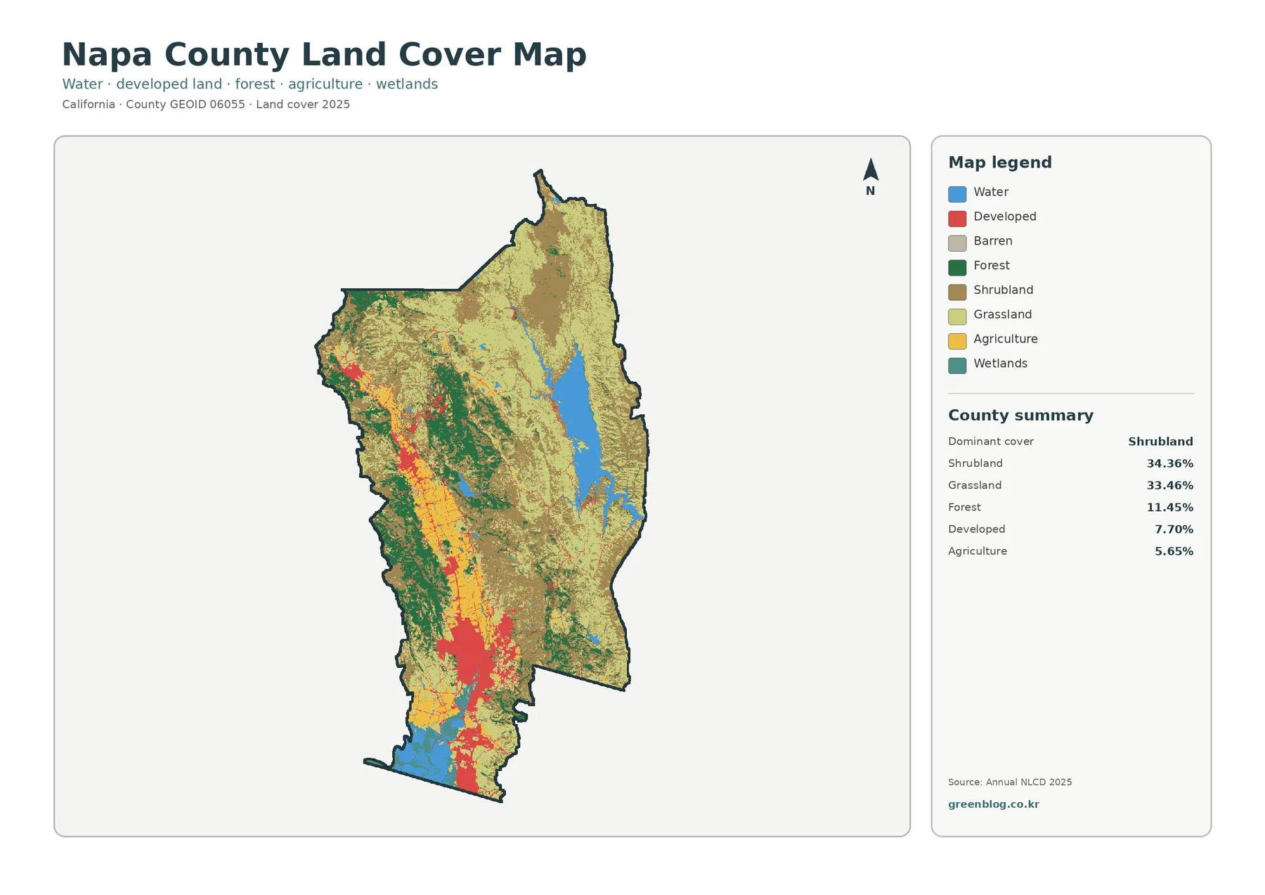
Napa County looks very different depending on which surface feature is isolated. Hard built surfaces form a strong southern cluster,
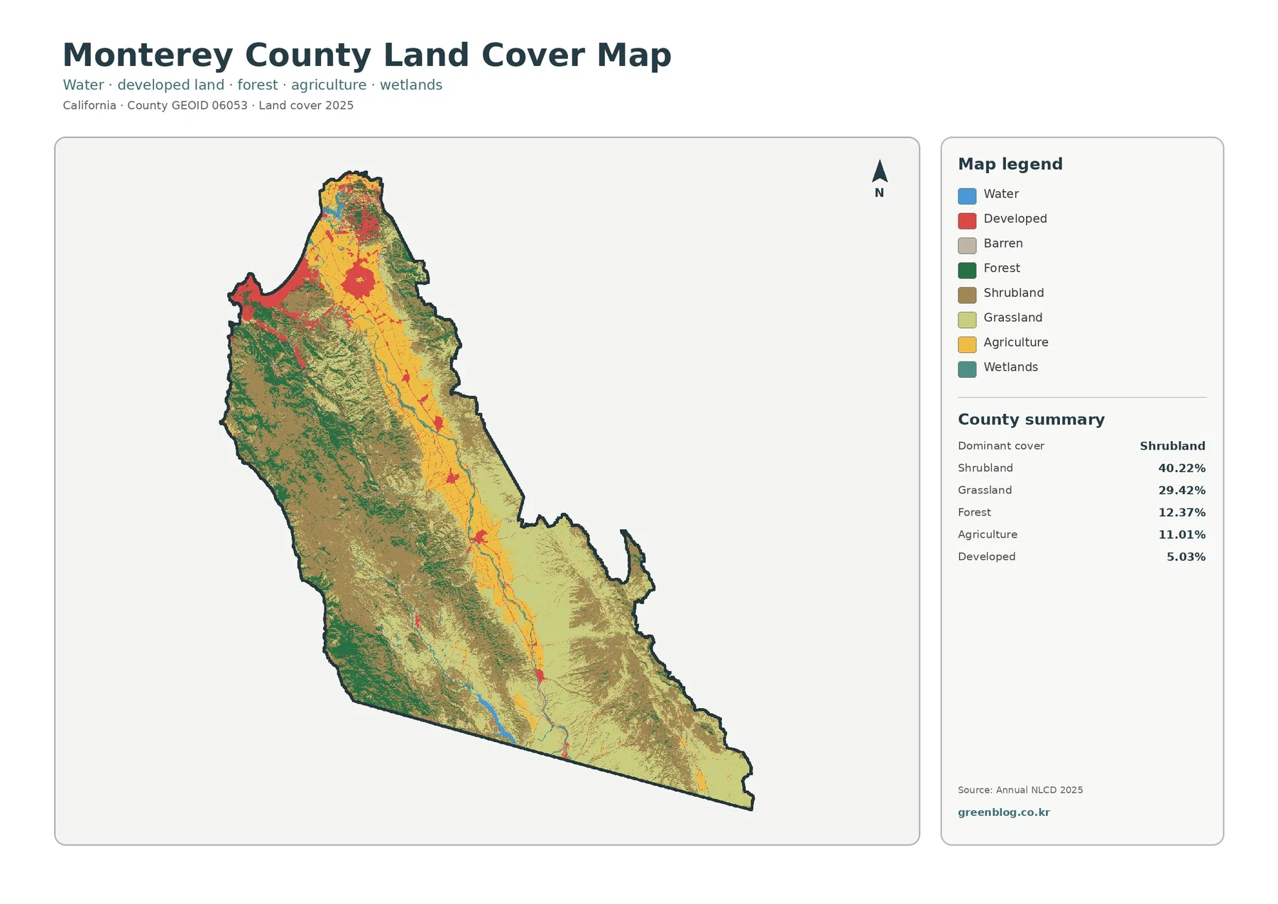
Monterey County stretches from the Monterey Bay area into a long interior of valleys, mountains, and dry uplands, and the