
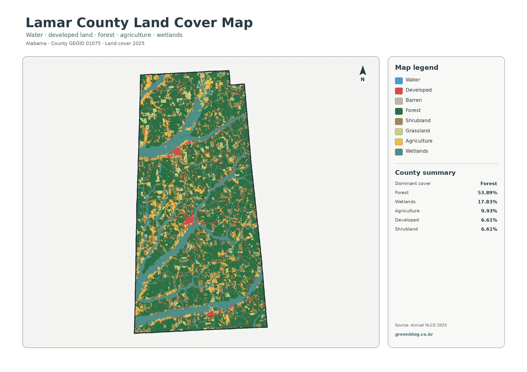
Lamar County Alabama Land Cover Map Between Sulligent, Vernon and Millport — Forest and Wetland Pattern
Lamar County in western Alabama is mostly forested, but the 2025 land-cover map shows much more than one continuous block
Lamar County in western Alabama is mostly forested, but the 2025 land-cover map shows much more than one continuous block
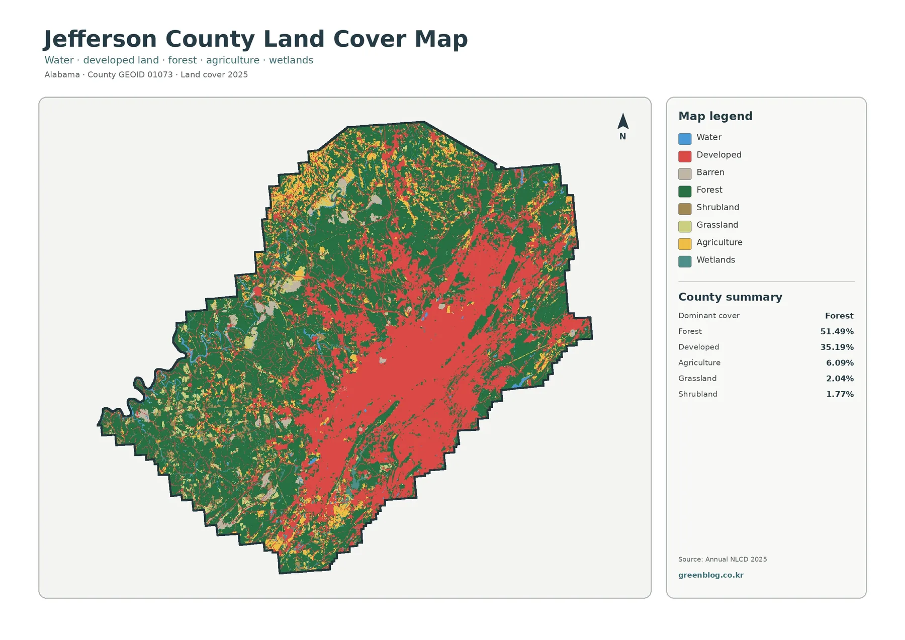
Jefferson County Alabama Land Cover Map shows one of the clearest urban–forest contrasts in this Alabama county series. A large
Jefferson County Alabama Land Cover Map: Birmingham Urban Core and Forests Read More »
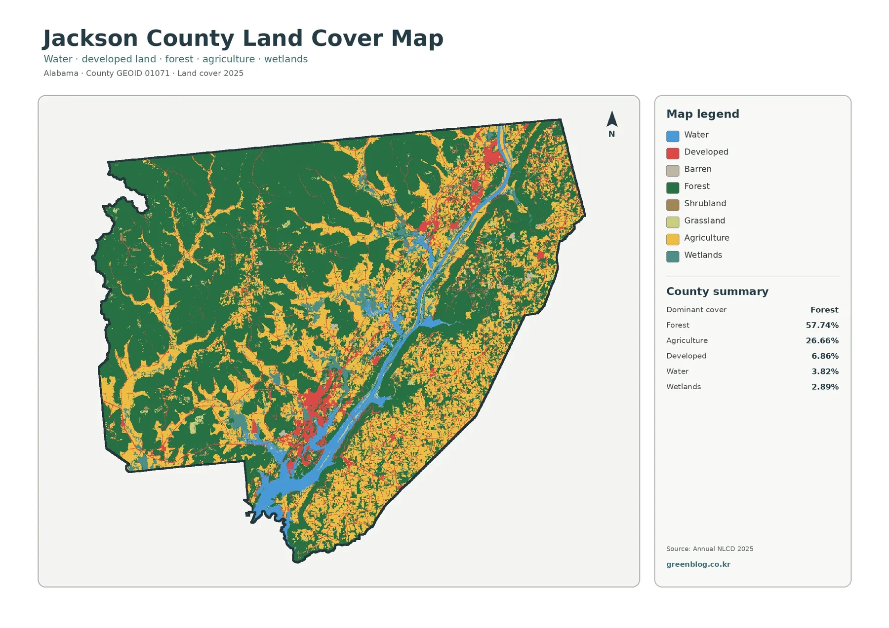
Jackson County Alabama Land Cover Map is easiest to understand by following the county from its broad western forests toward
Jackson County Alabama Land Cover Map | Forest, Guntersville Reservoir & Farms Read More »
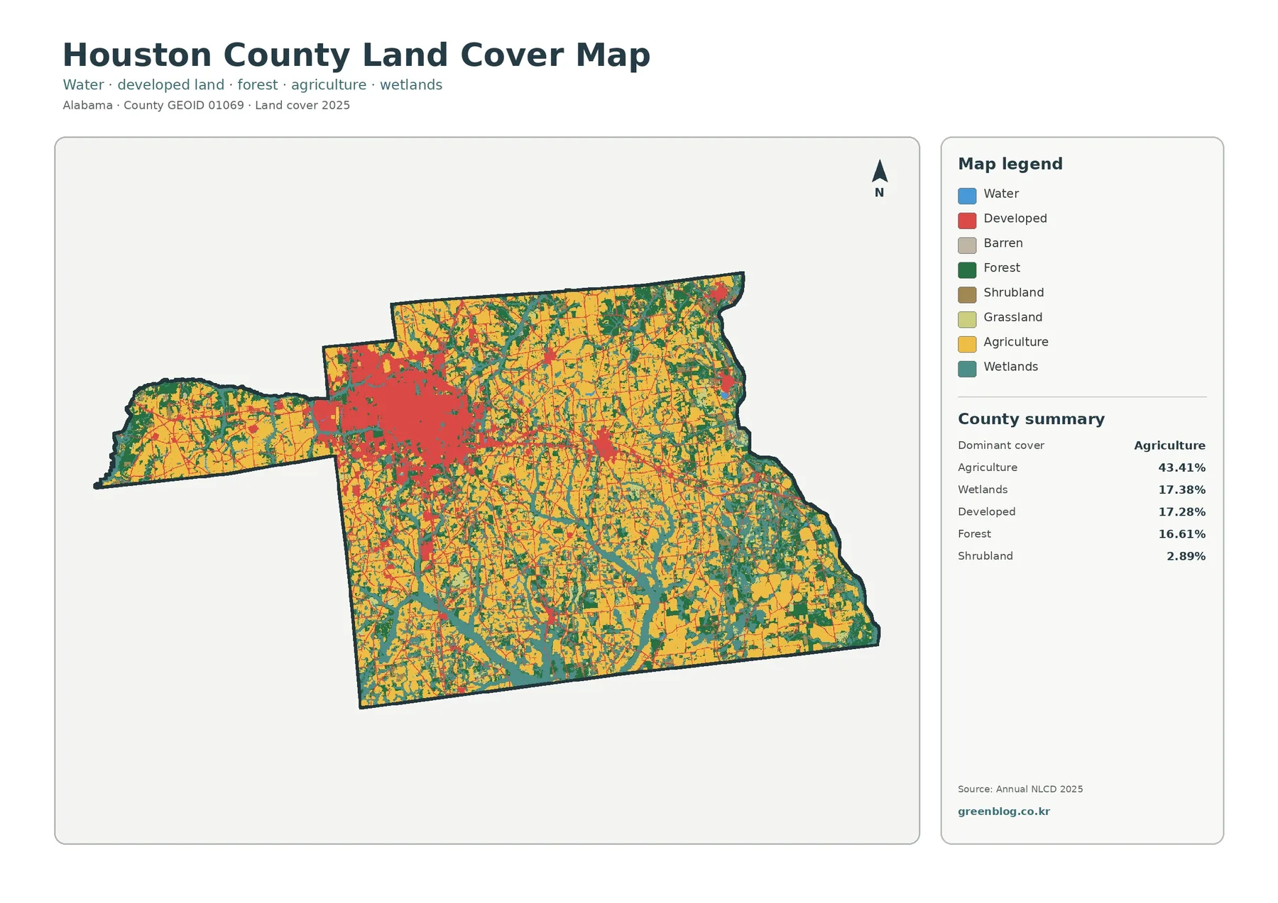
Houston County Alabama Land Cover Map shows a county where the largest developed concentration sits inside a much broader agricultural
Houston County Alabama Land Cover Map | Dothan’s Built Core Among Farms and Wetlands Read More »
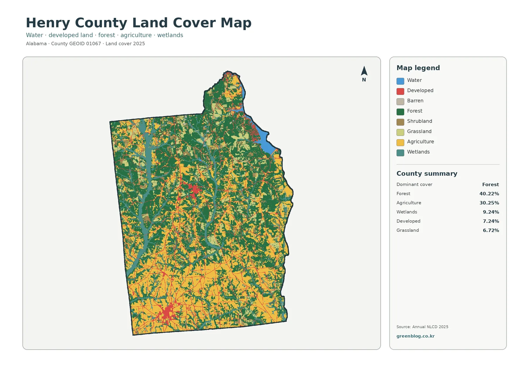
Henry County Alabama Land Cover Map makes the county’s internal contrast easy to see: forest is strongest across much of
Henry County Alabama Land Cover Map | Forest, Farms & Four JPG Maps Read More »
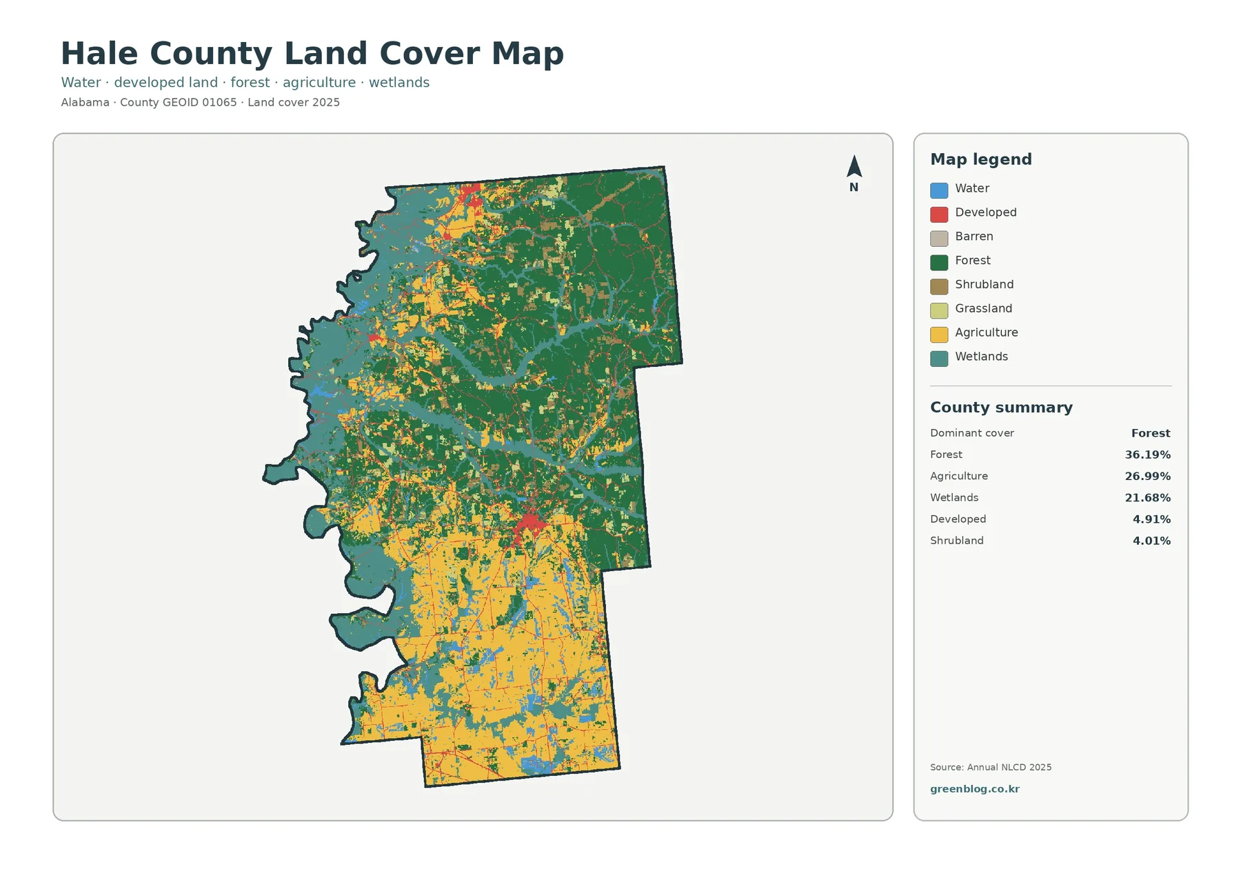
Hale County Alabama Land Cover Map shows a county with a clear north–south contrast. Forest is the largest 2025 class
Hale County Alabama Land Cover Map: Northern Forest, Wet Corridors and Southern Farms Read More »
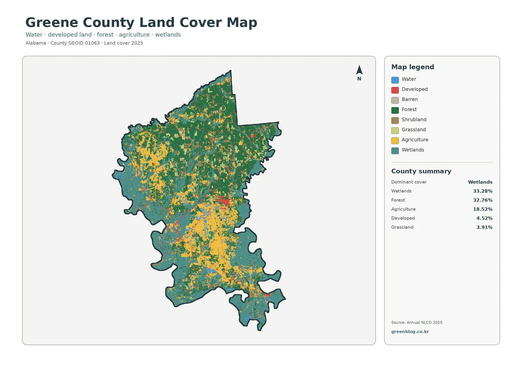
Greene County Alabama Land Cover Map focuses on a county where water-related cover is just as important as woods and
Greene County Alabama Land Cover Map | Wetlands, Forest & Four JPGs Read More »
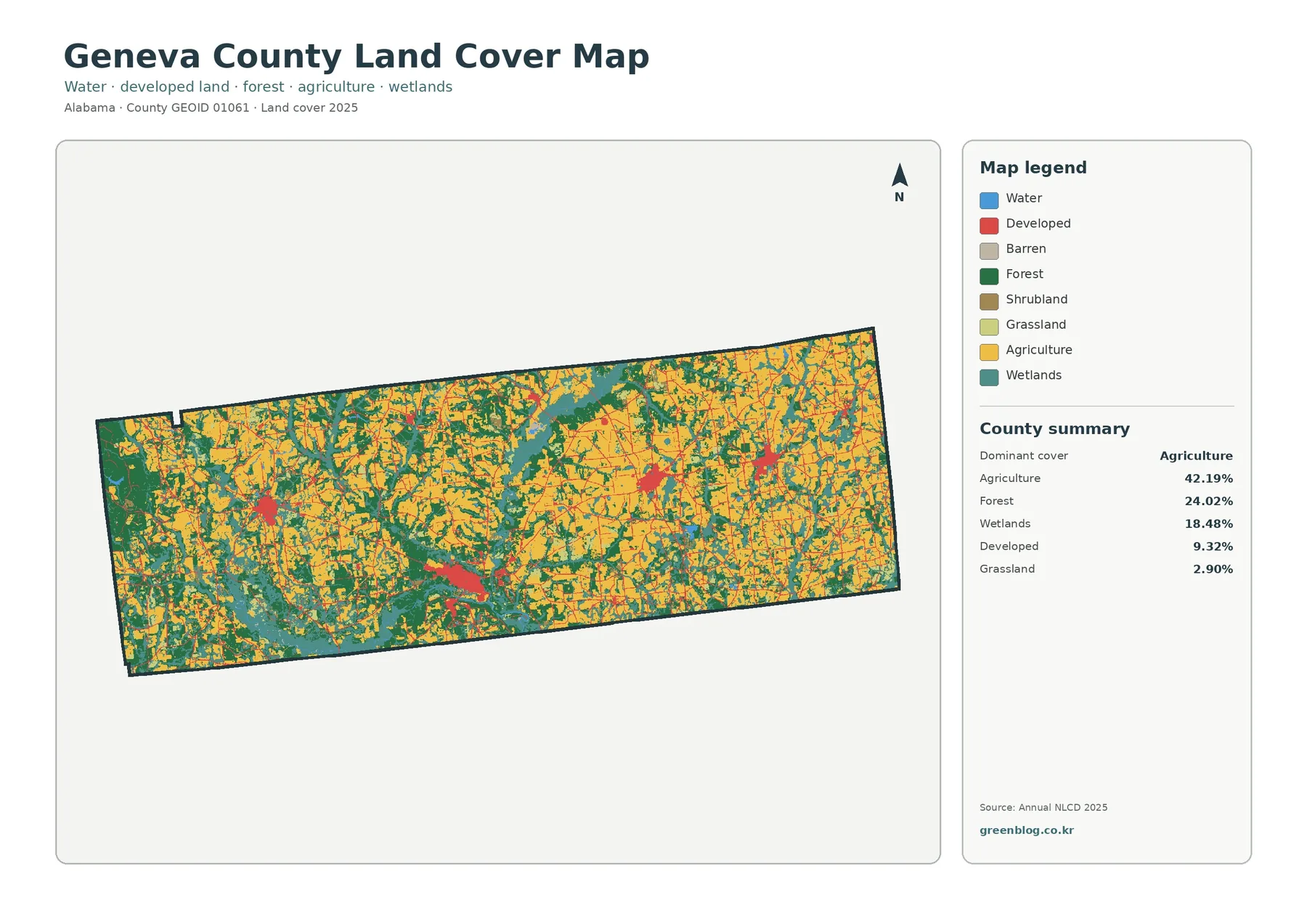
Geneva County Alabama Land Cover Map shows a southeastern Alabama county where agriculture is the largest 2025 surface class, but
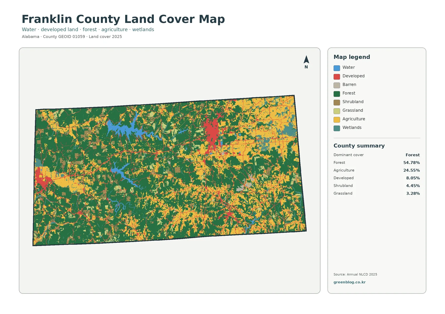
Franklin County Alabama Land Cover Map presents a 2025 landscape where forest still covers more than half of the county,
Franklin County Alabama Land Cover Map: Forest-Farm Contrast and 4 JPG Downloads Read More »