The World Bank Data Catalog record for the 2022 Tanzania Demographic and Health Survey and Malaria Indicator Survey (2022 TDHS-MIS) is best used as the official starting point for finding the survey, understanding its scope, and moving to the data and documentation. It is not an interactive malaria map and it does not display subnational indicator values on the catalog page. Instead, the record identifies the survey, its geographic and temporal coverage, its access classification and licensing status, and directs users to the Microdata Library for the underlying data and documentation.
That distinction matters for map work. The catalog can confirm that the survey concerns Tanzania in 2022 and covers a broad set of demographic, health and malaria topics. It cannot, by itself, justify drawing regional prevalence values or assigning survey results to administrative areas. A careful workflow starts with the catalog, continues with the survey documentation, and only then decides whether the available geographic variables support a map.
What the 2022 TDHS-MIS covers
The official description says the survey was designed to provide current and reliable information on population and health issues in Tanzania. Its subject matter is wide. It includes marriage and sexual activity, fertility and fertility preferences, family planning, infant and child mortality, maternal health care, disability in the household population, child health, nutrition of children and women, malaria prevalence and related knowledge and communication, women’s empowerment, experience of domestic violence, adult maternal mortality through the sisterhood method, awareness and behaviour related to HIV/AIDS and other sexually transmitted infections, female genital cutting, and early childhood development.
The catalog also notes additional health-related measurements and tests, including smoking, blood pressure, anaemia, malaria and iodine testing, height and weight, and micronutrients. This makes the survey useful for many different research questions, but it also means that users should narrow the question before opening files. Someone interested in malaria should identify the malaria-specific documentation and variables, while a maternal-health project should focus on the corresponding questionnaires, populations and indicator definitions.
Geography: what the catalog confirms and what it does not
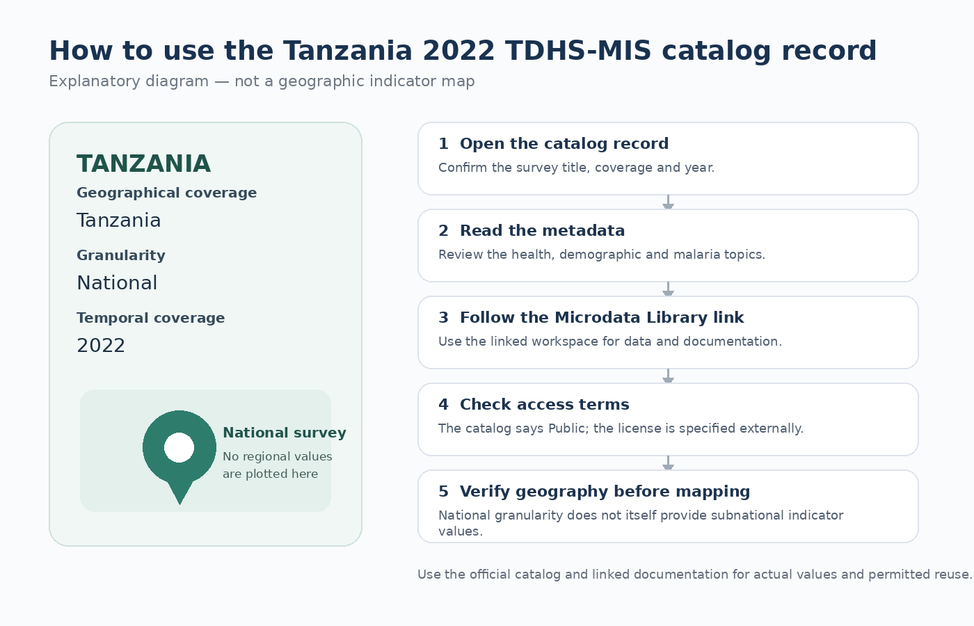
The catalog lists the geographical coverage as Tanzania, the granularity as National, and the temporal coverage as 2022. Those fields are the first geography check to make before mapping. National granularity does not automatically mean that every public-use file contains no geographic variables, but neither does it prove that province-, region-, district- or coordinate-level information is available for unrestricted use. The actual survey files and documentation must be checked for that.
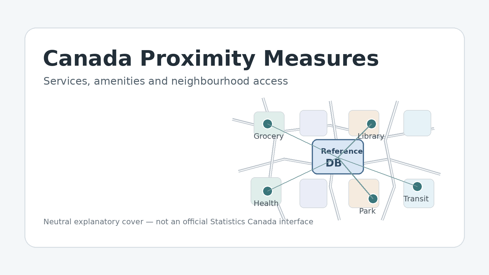
For this reason, the body graphic above is intentionally an explanatory diagram rather than a thematic map. No regional values have been invented. If a future mapping project uses this survey, the correct sequence is to identify the geographic variables actually released with the microdata, read any disclosure or location restrictions, verify the survey design, and then build only the geographic comparison that the released data support.
A practical workflow from catalog to usable data
- 1. Open the World Bank catalog record. Confirm that the title refers to the Tanzania 2022 TDHS-MIS rather than another survey year or a similarly named dataset.
- 2. Read Coverage & Extent. Check Tanzania, National granularity, and 2022 temporal coverage before planning any geographic comparison.
- 3. Review the survey topics. Confirm that the health or demographic question you need is actually among the subjects described by the survey.
- 4. Follow the Microdata Library link. The catalog explicitly directs users there to access data and documentation.
- 5. Read documentation before analysing files. Variable definitions, questionnaires, sampling information, weights and geographic identifiers determine what the numbers mean.
- 6. Check access and licensing separately. The catalog classifies the dataset as Public but lists the license as externally specified, so reuse conditions should be verified on the linked material.
The final step is easy to overlook. A Public classification tells you how the catalog classifies access to the dataset; it is not the same as a blanket statement that every file can be redistributed without conditions. The same record says the license is specified externally. When publishing derived tables, maps, code or redistributed files, use the license attached to the actual material rather than assuming a generic World Bank open-data license applies.
Survey topics at a glance
| Area | Topics named in the catalog | What to verify in the documentation |
|---|---|---|
| Population and family | Marriage, sexual activity, fertility, fertility preferences, family planning | Population universe, age groups and variable definitions |
| Maternal and child health | Infant and child mortality, maternal health care, child health | Reference periods, denominators and survey weights |
| Nutrition and measurement | Nutrition of women and children, height, weight, micronutrients | Who was measured and how missing observations are handled |
| Malaria and anaemia | Malaria prevalence and testing, anaemia testing | Test population, timing, indicator definition and geographic release level |
| Sexual and reproductive health | HIV/AIDS and STI awareness/behaviour, female genital cutting | Questionnaire context and access restrictions for sensitive variables |
| Household and social topics | Disability, women’s empowerment, domestic violence, early childhood development | Analysis unit, questionnaire design and confidentiality conditions |
This table reorganizes the topics described on the official record for navigation. It is not a substitute for the survey’s variable documentation. A topic label such as “malaria” does not tell you the exact denominator, age range, test procedure, sample eligibility or geographic level of every resulting variable. Those details need to come from the survey documentation linked through the data access workflow.
Why documentation should come before downloading everything
Household surveys are not ordinary administrative tables. Short variable names, coded responses, separate household and individual files, sample weights, eligibility rules and reference periods can change the meaning of a calculation. Opening the questionnaires and data documentation before attempting analysis helps prevent common mistakes such as comparing variables with different populations or treating an unweighted sample percentage as a population estimate.
Geography deserves the same care. If a file contains a region identifier, the documentation should explain what that identifier represents and whether it is appropriate for public mapping. If the released material does not provide the location detail required for a proposed map, the correct response is to keep the analysis at the supported level rather than infer values from unrelated sources. The catalog’s National granularity is a useful warning to verify this before promising a subnational product.
Useful questions before turning survey results into a map
- Is the proposed map national, or does it require within-Tanzania geography that the released data may not provide?
- What population is in the denominator for the selected indicator?
- Is the observation specifically from the 2022 survey, or has another year been mixed into the comparison?
- Does the released dataset actually contain the geographic identifier needed for the map?
- Are missing observations being preserved rather than treated as zero?
- Have the access classification and the externally specified license been checked separately?
These questions are especially important because a survey indicator can look deceptively similar to a standard country statistic. A DHS-style estimate depends on survey design, sample eligibility, weighting and indicator construction. The catalog record tells you what the survey is about; the survey documentation tells you how to calculate and interpret the results.
Purpose and limitations of the dataset
The World Bank catalog describes the primary objective of the 2022 TDHS-MIS as providing current and reliable population and health information that can help policymakers and programme managers evaluate and design strategies for improving health in Tanzania. It also notes that the survey provides indicators relevant to monitoring international, regional and national development programmes and goals. That purpose explains why the dataset covers many policy-relevant subjects, but it should not be read as proof that one survey variable can establish the cause of a health outcome or the effectiveness of a particular programme.
The record’s page statistics, such as views and downloads, are also not survey indicators. They describe use of the catalog record. Likewise, the JSON metadata option refers to the record’s metadata, not the respondent-level survey data. Actual analysis should use the microdata and documentation available through the linked access route, subject to the applicable conditions.
Official sources
- World Bank Data Catalog – Tanzania Demographic and Health Survey and Malaria Indicator Survey 2022
- World Bank Data Catalog – Data Access and Licensing
Frequently asked questions
Does the catalog page provide a regional malaria map for Tanzania?
No. The catalog page is a metadata and access record. It lists Tanzania as the geographical coverage and National as the granularity. Any subnational mapping should be based only on geographic variables and documentation actually released with the survey.
Is the 2022 TDHS-MIS only about malaria?
No. The official description covers a broad range of demographic and health subjects, including fertility, family planning, maternal and child health, nutrition, disability, HIV/AIDS and STIs, women’s empowerment, early childhood development, blood pressure, anaemia and other measurements in addition to malaria.
Does Public classification mean unrestricted redistribution?
Not necessarily. The catalog classifies the dataset as Public but states that the license is specified externally. Check the license and access conditions attached to the actual data and documentation before redistribution or reuse.
What should I verify first if I want to make a map?
Confirm the survey year and geographic scope, then read the documentation for geographic identifiers, sampling, weights and the indicator definition. Do not invent regional values if the released material does not support the geography you need.
Related articles
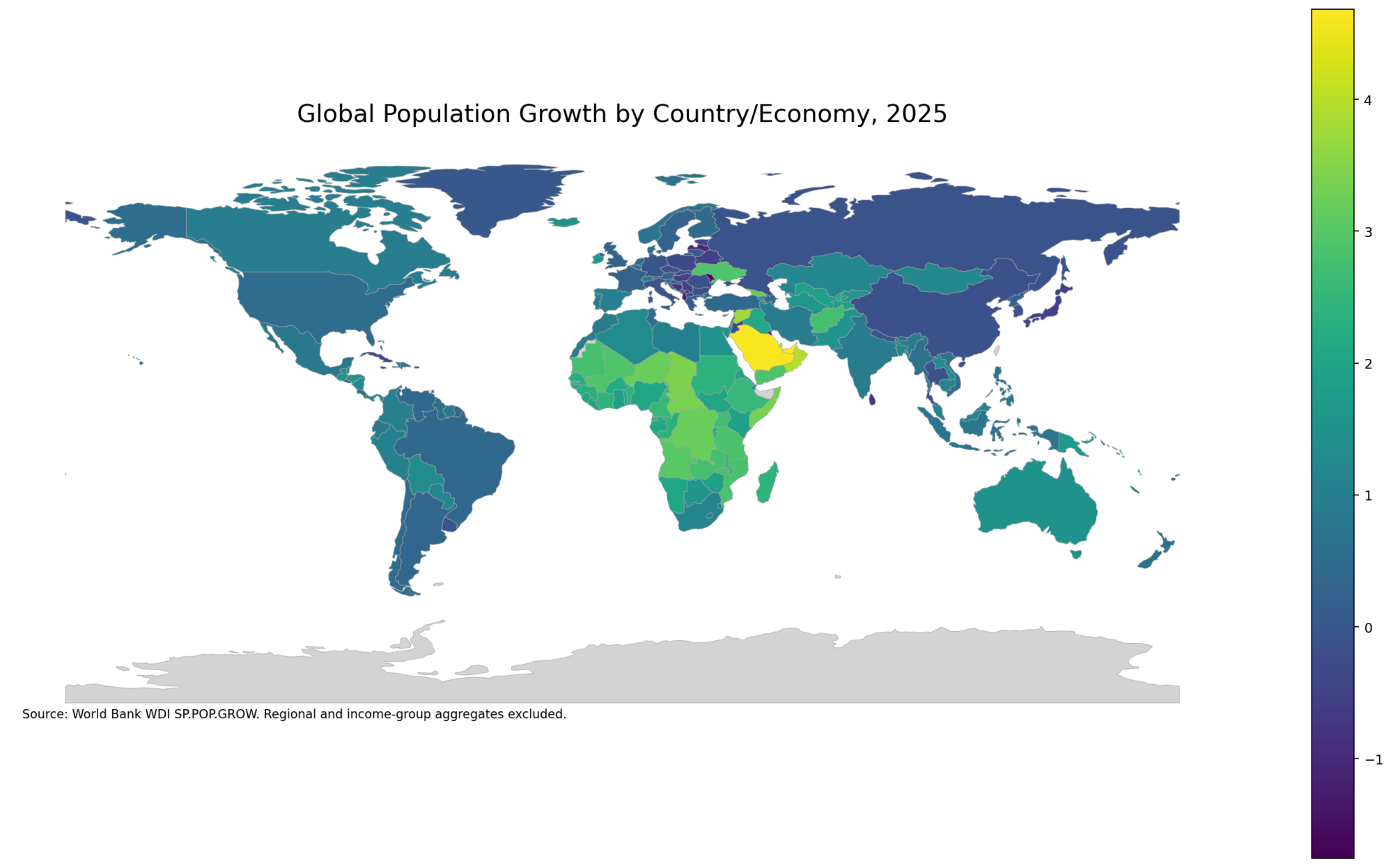
The TDHS-MIS is a survey dataset, so its indicators should not be confused with broader demographic measures such as population growth, density or urbanization. These published Green Map Insight articles use World Bank data to map those separate concepts.
- Global Population Growth Map – 2025 Country Comparison
- Global Population Density Map – 2023 Country Comparison
- Global Urbanization Rate Map – 2025 Country Comparison
Green Map creates custom-edited map images using open geographic data sources such as geoBoundaries, Natural Earth, OpenStreetMap, and government open data.
These maps are edited visual materials, not raw data files, and are provided for education, documents, presentations, and graphic reference.