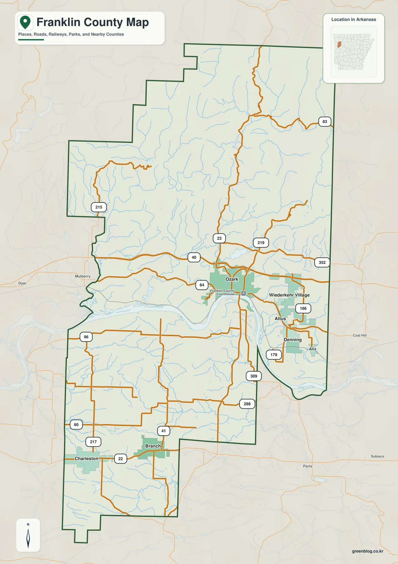
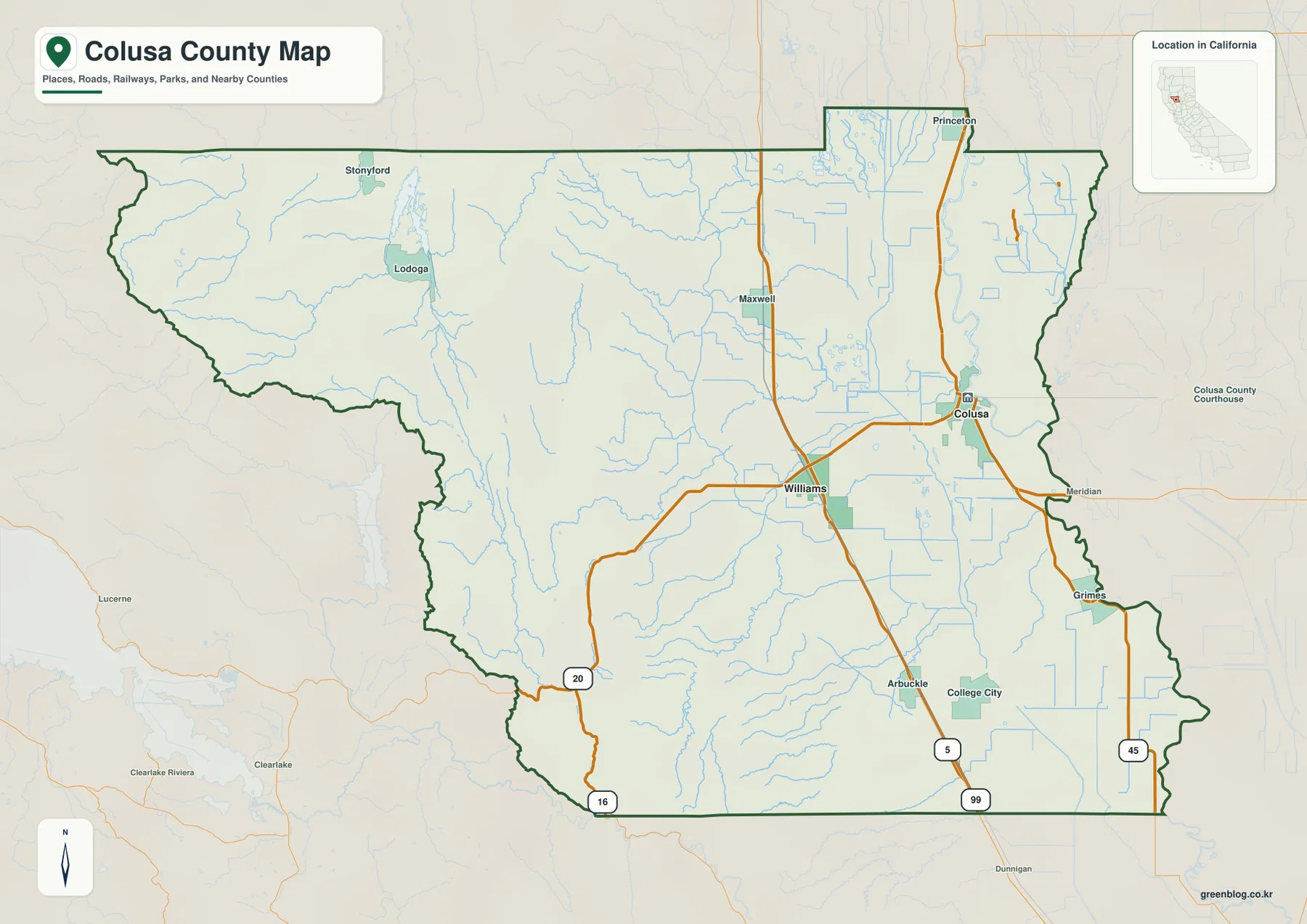
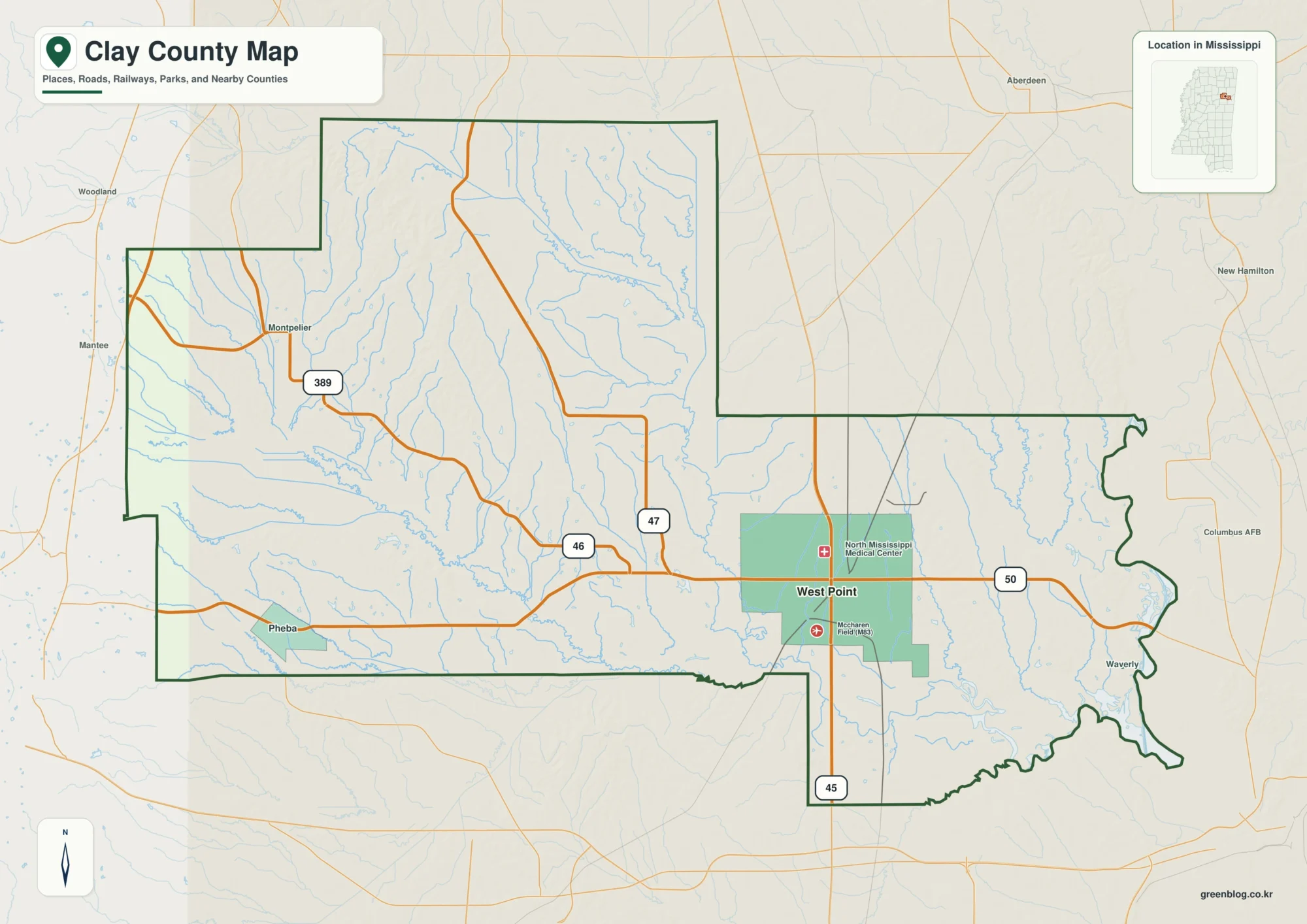
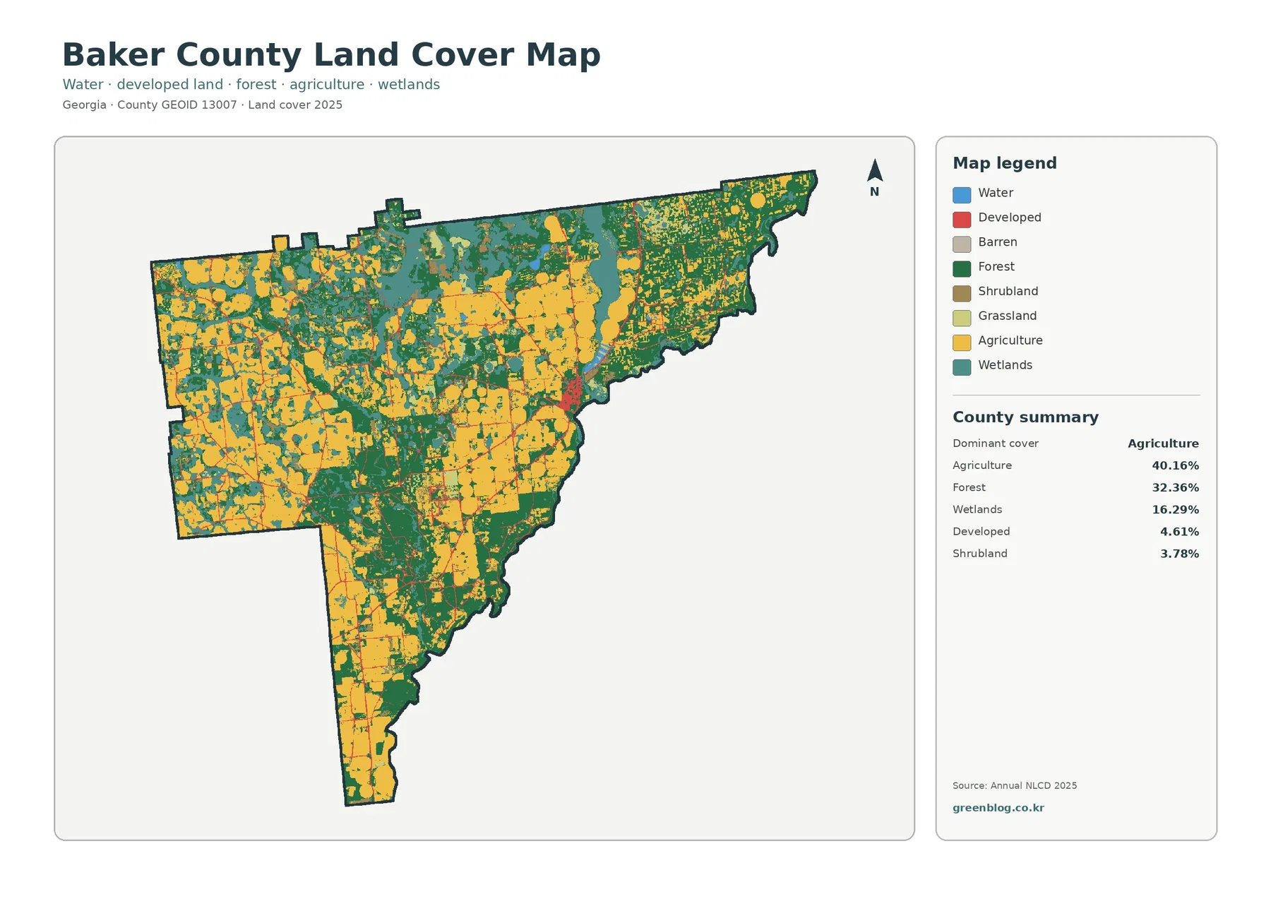
Brown County in western Illinois is organized around Mount Sterling, with Mound Station to the west, Ripley to the northeast, and Versailles to the southeast. The road map looks fairly open at first, but the blue drainage lines reveal a county cut by many small creeks and shallow valleys. Elevation changes add another strong pattern: higher rolling country dominates much of the west, while the eastern edge drops into noticeably lower and flatter ground.
This Brown County Illinois Map page combines a county overview, a city-connections map centered on Mount Sterling, a terrain-and-water map, and an elevation map. You can download high-resolution JPG versions of all four supplied maps together in one ZIP file for printing, classroom work, presentations, or closer viewing. The maps are designed for county-scale orientation rather than live traffic, parcel boundaries, flood decisions, navigation, or survey-grade elevation.
The Illinois State Archives records Brown County as established on February 1, 1839, named for War of 1812 Major General Jacob Brown, with Mount Sterling serving as the county seat since the county was created. A Brown County community page also describes Mount Sterling as being in the heart of the county. The supplied maps support that central role visually: several roads converge there, and the town provides the clearest reference point for the surrounding settlements, creeks, and changing terrain.
Table of Contents
Roads spread out from Mount Sterling
On the county overview, Mount Sterling sits slightly north of the geographic center and acts as the main road junction. Route 350 runs west toward Mound Station, with Clayton labeled beyond the county. U.S. 24 heads northeast toward Ripley. Roads turning southeast lead toward Versailles and Route 99, while Route 75 runs north from the Mount Sterling area toward the upper county boundary.
The southern road pattern is more branched. Routes 800, 785, 745, and 775 appear south of Mount Sterling, and Route 107 continues toward the lower county edge. Around Versailles, Routes 570 and 490 provide additional local references. The result is a county where Mount Sterling is easy to identify, but the smaller places occupy distinct arms of a wider road network rather than one continuous urban corridor.
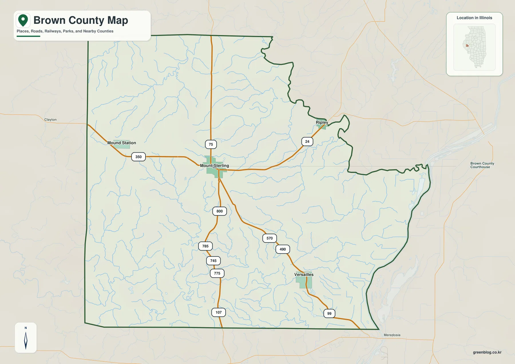
The numerous blue tributaries explain why the road map should not be read as flat open country. Small streams branch throughout the northwestern and southwestern parts of the county and continue around Mount Sterling. Farther east, the terrain opens toward a broad lower river margin. Comparing the road map with the terrain maps helps connect the bends in roads and the spacing between settlements with the valleys that cross the county.
Use Mount Sterling as the main orientation point
For a first look at Brown County, place Mount Sterling in the middle, then remember Mound Station to the west, Ripley to the northeast, and Versailles to the southeast. That simple three-direction pattern makes the detailed road network easier to follow. The overview is not a live traffic or parcel map, so current closures, construction, exact property lines, and access rights require current agency information.
The city map measures direct distance from Mount Sterling
The city-connections map simplifies the county to a hub-and-spoke pattern. Mount Sterling is the hub. Mound Station is shown about 6 miles to the west, Ripley about 7 miles to the northeast, and Versailles about 9 miles to the southeast. The graphic explicitly labels these as direct distances, so the values are straight-line measurements between mapped points rather than road mileage.
The CITY CONNECTIONS panel also prints values of 1,980 for Mount Sterling, 441 for Versailles, 150 for Mound Station, and 87 for Ripley. Because the image does not display a census year or statistical date for those figures, this article does not claim that they are current population counts. The most reliable use of the city graphic is the direction and direct spacing of the three connected places around Mount Sterling.
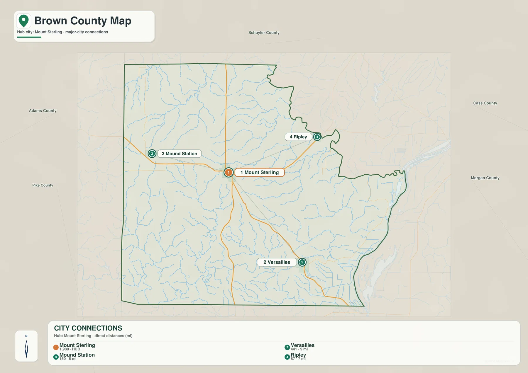
Direct distance is useful for comparing relative spacing, but it is not a driving estimate. Brown County’s roads bend around creek valleys and rolling ground, and the route between two towns may be longer than the straight segment shown on the map. Use current navigation or transportation data for actual mileage and travel time.
The 6-, 7-, and 9-mile labels are not driving mileage
The simplified graphic works well for presentations, classroom materials, or a quick explanation of where the three smaller places sit around the county seat. When the task is choosing a road, finding an intersection, or estimating travel time, the detailed overview and current navigation information are better tools.
Lake Mt Sterling sits within a dense creek network
The terrain-and-water map replaces most road labels with drainage features. Lake Mt Sterling appears in the north-central part of the county. To the northwest, Little Missouri Creek and Missouri Creek cross a dissected landscape. North Fork Shelby Creek and South Fork Shelby Creek are labeled farther northeast, while West Creek and Logan Creek occupy the central area. Dry Fork, Camp Creek, and Mc Kee Creek form long winding channels across the southern half.
Purpus Creek and Wells Fork appear on the western side, and numerous unnamed tributaries fill the spaces between the major labels. At the eastern edge, a broad river channel and Meredosia Lake contrast sharply with the narrow creek valleys of the western uplands. The shaded relief makes that difference easy to see: short ridges and gullies dominate the west and center, while the far east opens into lower and flatter terrain.
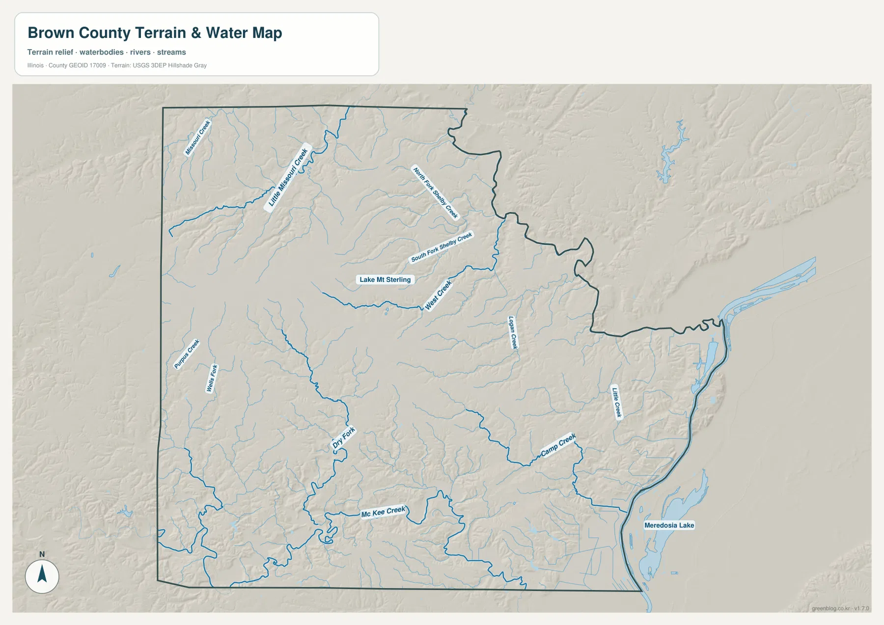
The Illinois Department of Transportation’s Brown County highway map also labels Lake Mount Sterling, Little Missouri Creek, South Fork Shelby Creek, the La Moine River, and other waterways, reinforcing how important drainage is to the county’s road-and-terrain pattern. The transition toward larger channels and lower ground in the east becomes even clearer when this water map is compared with the elevation image.
This water map does not show flood depth or navigation status
The map is a reference for the location of creeks, lakes, large channels, and terrain. It does not provide flood-hazard zones, live water levels, depth, navigable routes, levee condition, water rights, or legal access. Use current USGS and responsible agency data for safety, boating, flood, or regulatory decisions.
Higher western ground descends toward the eastern lowlands
The elevation map gives Brown County a clear west-to-east structure. Much of the western half is orange and brown, showing higher rolling ground broken by narrow green creek valleys. Moving east, the colors shift through yellow and light green. Along the far eastern side, dark green marks the lowest broad terrain, forming a strong contrast with the dissected uplands around the western and central county.
The map reports an actual countywide elevation range of about 128 to 247 meters and a mean of about 191 meters. Its color legend uses bands from roughly 131 to 227 meters, while the separate “Actual” line records the wider minimum and maximum in the underlying county dataset. Those endpoints describe Brown County as a whole; they are not exact elevations for Mount Sterling, Mound Station, Ripley, Versailles, or a specific property.
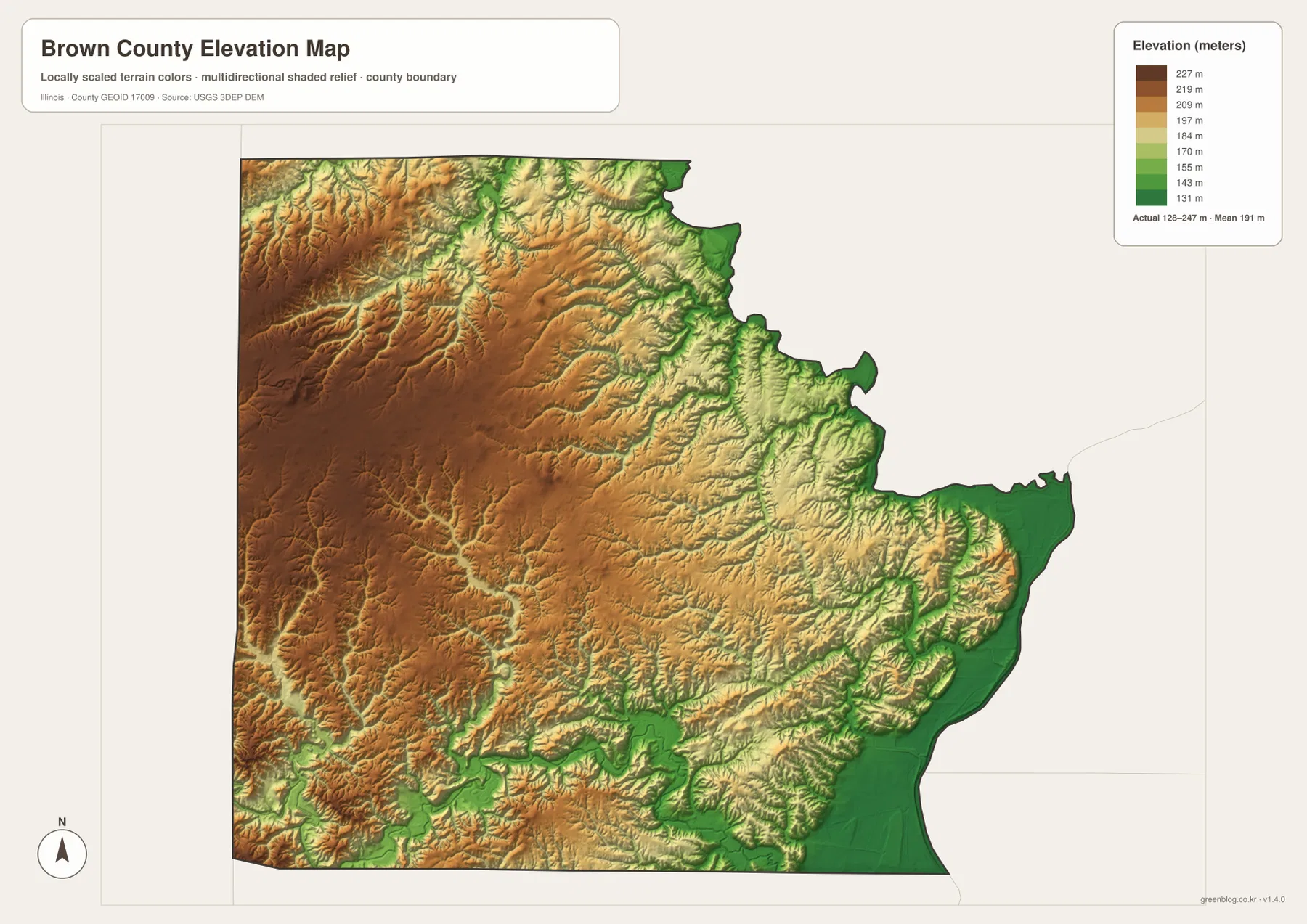
Reading the water and elevation maps together makes the valley pattern especially clear. Little Missouri Creek and Camp Creek follow lower green corridors through higher terrain, while the broad eastern lowland provides a much flatter destination for drainage. Mount Sterling sits near the transition between the western uplands and the lower country to the east, which makes it a useful reference point across all four maps.
128 to 247 meters is a countywide range
Do not assign the lowest or highest endpoint directly to a named town. Exact elevation for a building site, road grade, drainage design, bridge, or parcel requires location-specific source data or a professional survey. This map is designed for broad county comparison rather than engineering measurement.
Choosing the Brown County map that fits the question
Use the county overview when the goal is to see Mount Sterling, Mound Station, Ripley, Versailles, numbered roads, county boundaries, and streams together. The city-connections map is better for quickly comparing the 6-, 7-, and 9-mile direct distances from Mount Sterling. Choose the terrain-and-water map for Lake Mt Sterling, Little Missouri Creek, the Shelby Creek forks, Camp Creek, and Mc Kee Creek. The elevation map is the clearest option for comparing western uplands with the eastern lowlands.
A practical sequence is to begin at Mount Sterling on the overview and trace U.S. 24, Route 350, Route 99, and Route 107. Next, use the city map to simplify the positions of Mound Station, Ripley, and Versailles. Move to the water map to find Lake Mt Sterling and the named creeks, then finish with elevation to see how those drainage lines occupy lower corridors cut into the rolling western and central terrain.
Each map has a defined purpose. The overview is not a live-traffic or parcel product, the city map does not provide driving mileage, the water map does not assess flood or navigation conditions, and the elevation surface is not survey-grade. Within those limits, the set works well for printed reference sheets, teaching, presentations, county orientation, and trip-planning context.
Frequently Asked Questions
Are the 6-, 7-, and 9-mile labels driving distances?
No. The city-connections map explicitly uses direct distance. It places Mound Station about 6 miles, Ripley about 7 miles, and Versailles about 9 miles from Mount Sterling in straight-line terms. Actual road mileage and travel time can be longer.
Where is Lake Mt Sterling on the map?
Lake Mt Sterling appears in the north-central part of the terrain-and-water map near the Mount Sterling area, surrounded by a dense network of creeks and short valleys. It is easiest to understand alongside Little Missouri Creek, the Shelby Creek forks, and the surrounding shaded relief.
Does 128 to 247 meters give Mount Sterling’s elevation?
No. The elevation map identifies 128–247 m as the actual range across the Brown County dataset and gives a mean of about 191 m. Exact elevation for Mount Sterling or any specific road, property, or structure requires point-specific elevation or survey data.
Sources and Reference Material
The article uses the supplied Brown County maps together with the official and local references below. For current road conditions, water information, legal boundaries, or exact point elevations, use the responsible agency’s current source data rather than these explanatory county maps.
- Illinois State Archives – Brown County – county establishment, name origin, and Mount Sterling county-seat information
- Brown County – City of Mt. Sterling – local Mount Sterling information
- Illinois Department of Transportation – Brown County Highway Map – roads and major water-feature reference
- USGS National Hydrography – rivers, streams, lakes, and related hydrography data
- USGS 3D Elevation Program – elevation and terrain data
Map File Information
The high-resolution JPG originals for the Brown County overview, city-connections map, terrain-and-water map, and elevation map are bundled in one ZIP file. Each image is a 3,638 × 2,572-pixel landscape file suitable for zooming, printed reference sheets, classroom materials, and presentation graphics.
- Included Files: 4 high-resolution JPG maps
- Printable Size: 3,638 × 2,572 pixels each
Related Maps
Green Map creates custom-edited map images using open geographic data sources such as geoBoundaries, Natural Earth, OpenStreetMap, and government open data.
These maps are edited visual materials, not raw data files, and are provided for education, documents, presentations, and graphic reference.