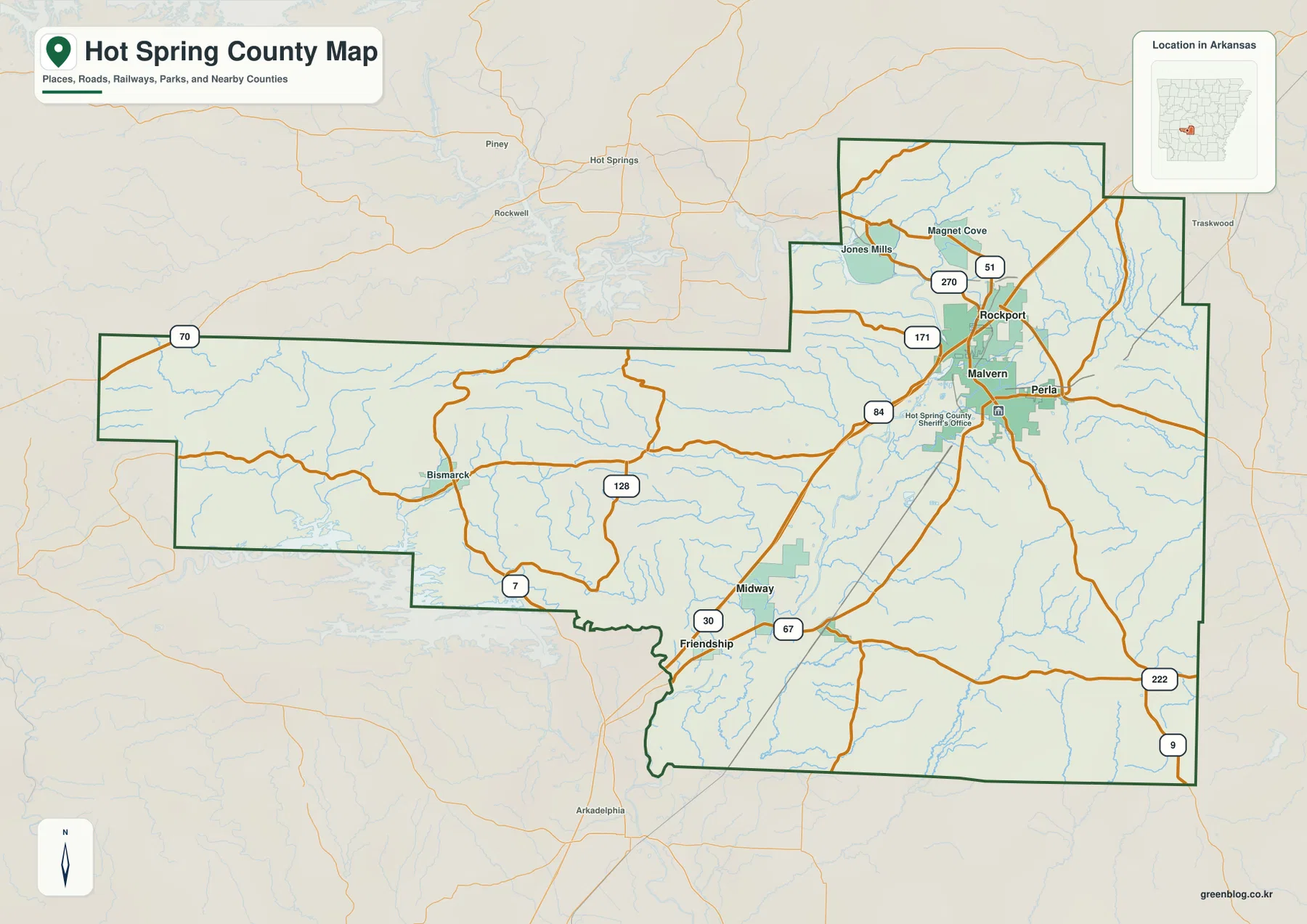
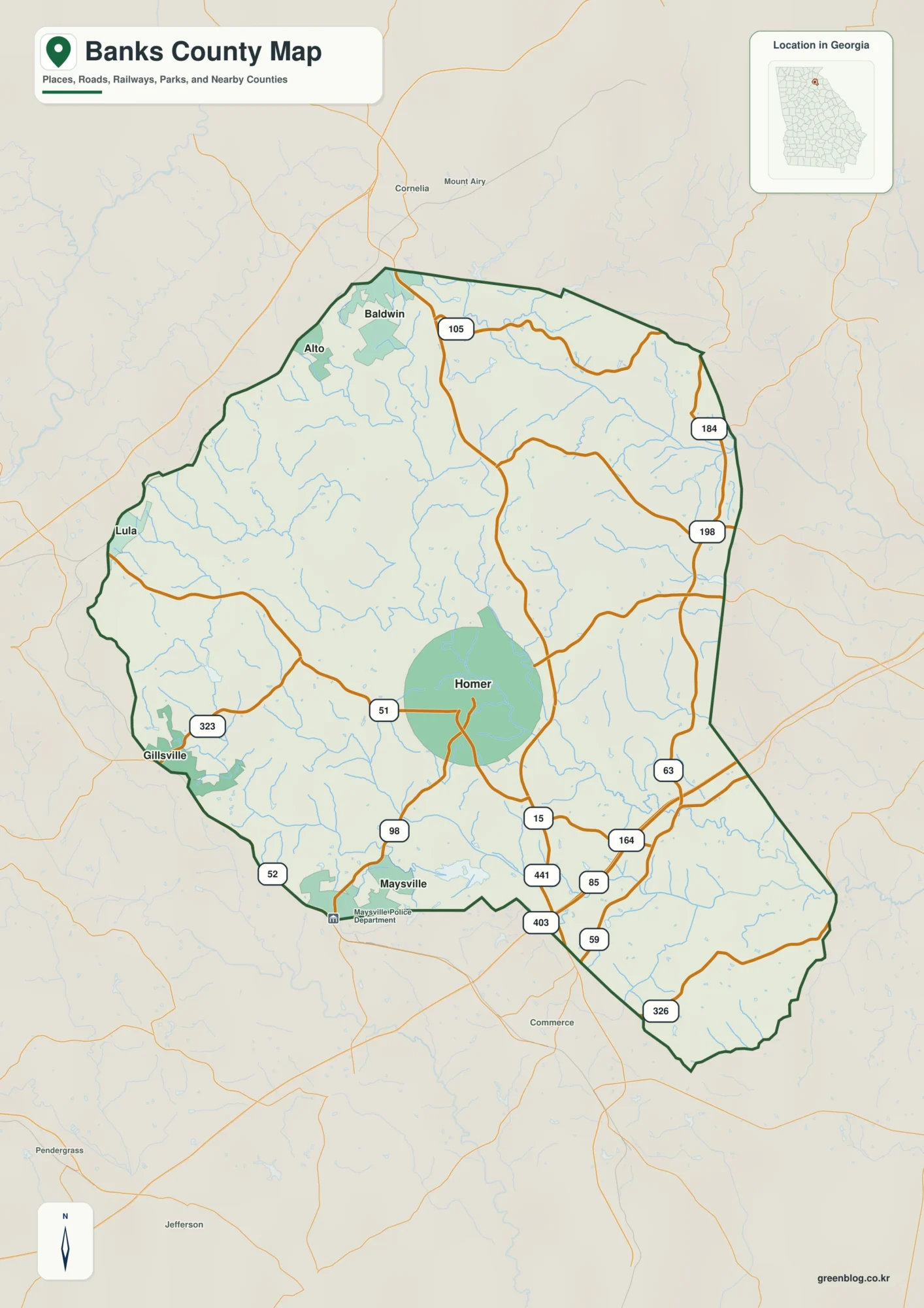
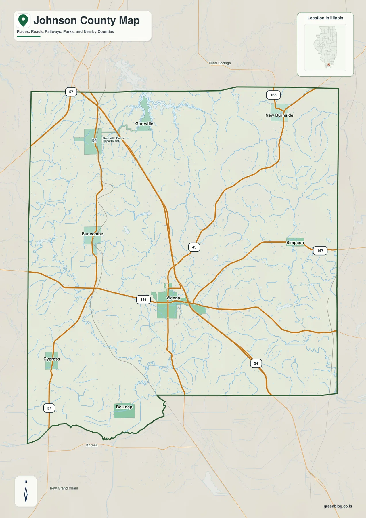
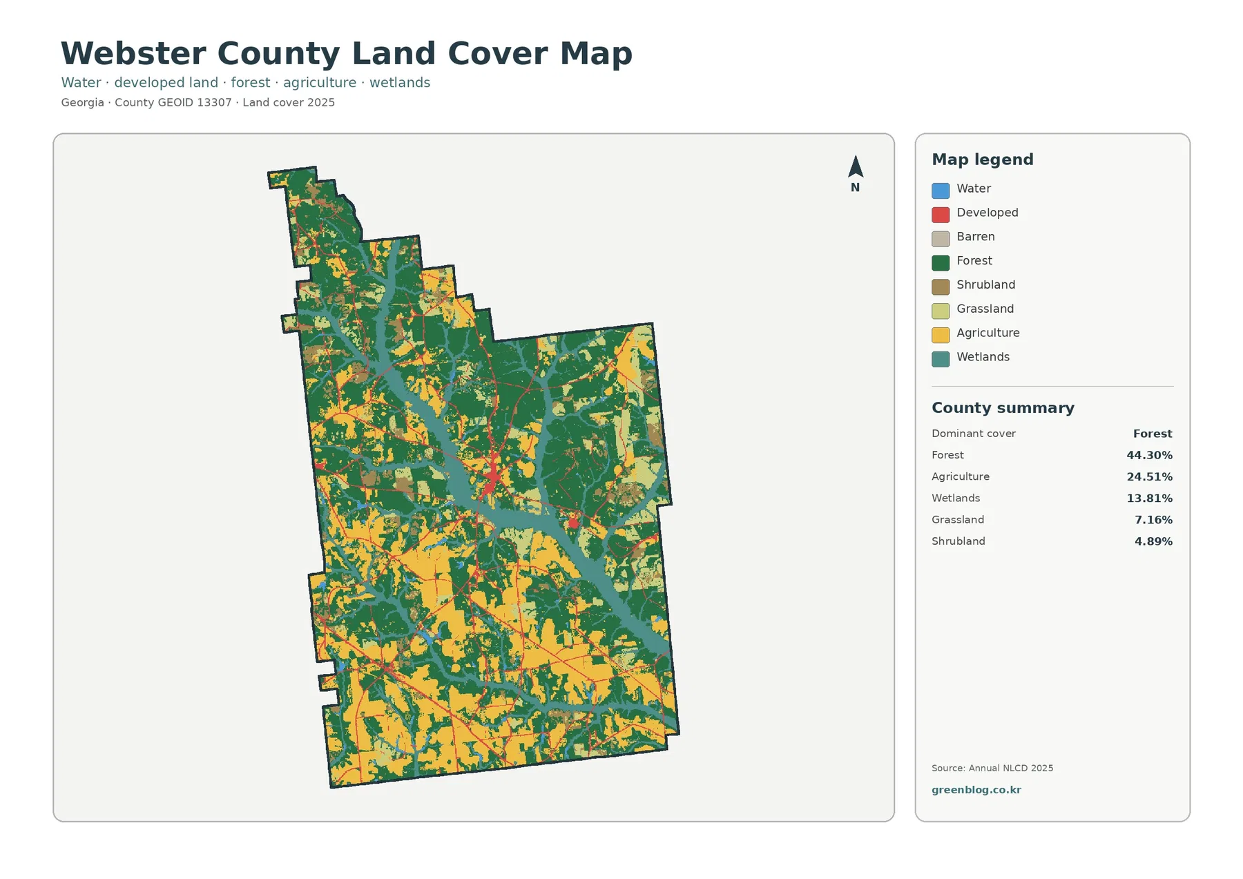
Download the Lee County Alabama Map files on this page as one ZIP containing four high-resolution A3 JPG maps. The set covers the county boundary and roads, the main city locations, creeks and lakes, and elevation, so you can choose the sheet that fits your purpose instead of relying on one crowded reference map. Lee County is especially useful for this approach because its geography changes quickly from the Auburn–Opelika urban core to smaller western communities and the Columbus-facing southeast.
Auburn and Opelika sit near the center of the story, but they are not the whole county. I-85 crosses the main developed area, U.S. 280 and U.S. 431 lead southeast through Smiths Station toward Phenix City, and a dense network of creeks spreads toward both the Tallapoosa and Chattahoochee drainage systems. The elevation sheet adds another layer: the map records an actual range of about 56 to 286 meters, with higher rolling ground across much of the north and north-central county and lower stream valleys toward the east and south.
Table of Contents
Auburn and Opelika define the county’s central core
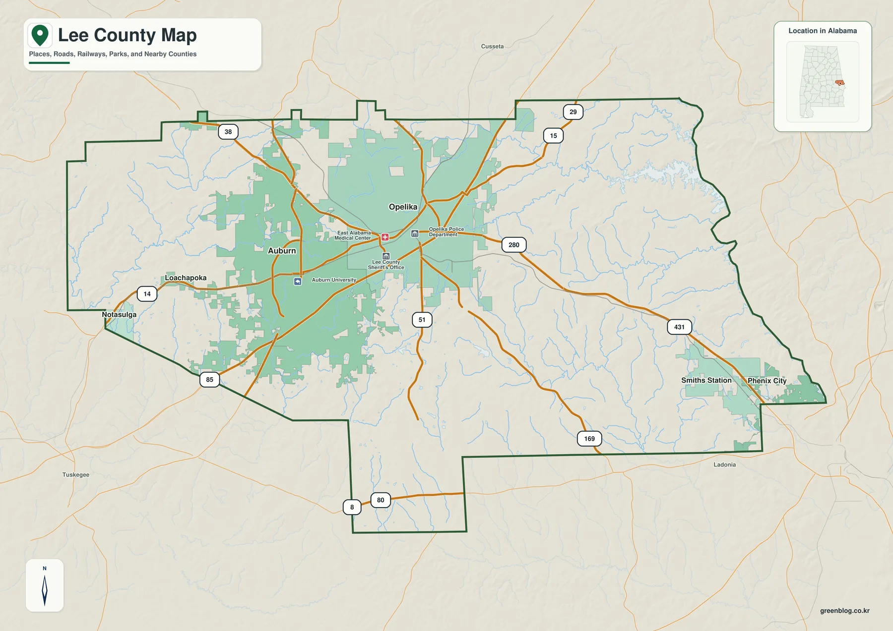
Lee County lies on Alabama’s eastern side along the Georgia border. The general county map makes the central concentration easy to see: Auburn occupies the west side of the main urban area, while Opelika sits immediately to the east. Development between them has grown into a broad continuous zone even though the two cities have different histories and civic roles. Opelika remains the county seat, while Auburn is the larger city and the home of Auburn University.
The contrast between Auburn and Opelika explains much of the county’s modern pattern. Lee County was formed in 1866 and Opelika became its administrative center. Auburn followed a different path as its college grew into Auburn University. University records report 35,172 students for fall 2025, large enough to shape housing, retail, research employment, traffic, and construction far beyond the campus itself. The result is a two-city center in which the largest population center and the county government center are next to each other rather than being the same place.
Population figures show the scale of recent change without explaining it by themselves. U.S. Census Bureau QuickFacts lists 174,241 residents in the 2020 census and a July 2025 estimate of 189,881. Growth is not spread evenly across the 607.54 square miles of land. Auburn, Opelika, and the southeast highway corridor are much more urbanized than the western and southwestern edges, where smaller towns and rural land remain prominent.
| State | Alabama |
|---|---|
| County | Lee County |
| County seat | Opelika |
| 2020 census population | 174,241 |
| 2025 population estimate | 189,881 |
| Land area | 607.54 sq mi |
| Main routes shown or emphasized | I-85, U.S. 29, U.S. 280, U.S. 431 |
| Named waters on the map | Saugahatchee Creek, Chewacla Creek, Halawakee Creek, Little Uchee Creek and others |
Five city labels show how settlement spreads beyond the core
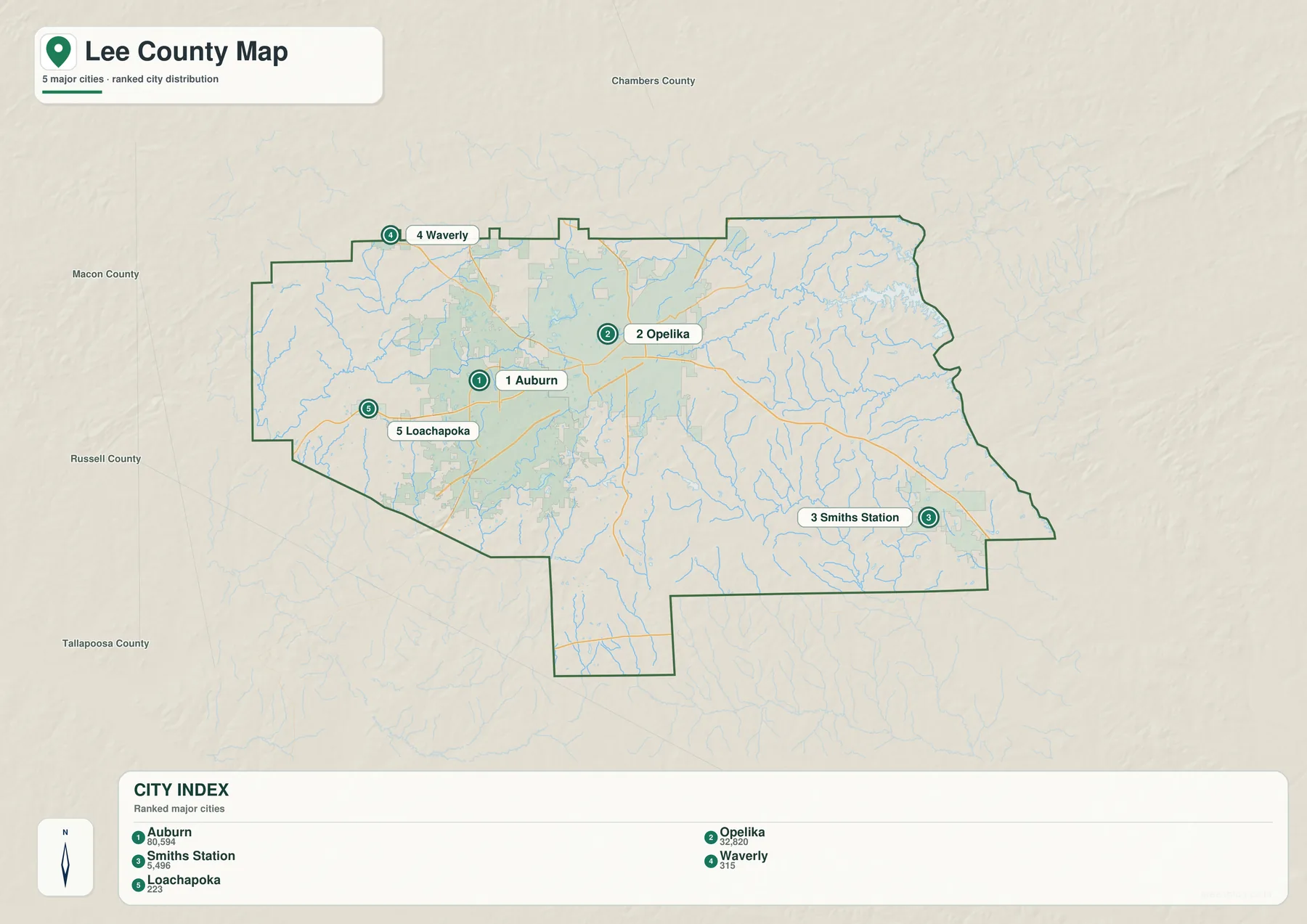
The city map strips away much of the detail and ranks five places inside the county display: Auburn, Opelika, Smiths Station, Waverly, and Loachapoka. Auburn and Opelika sit close together in the middle, Smiths Station is separated far to the southeast, Waverly lies near the northwest county edge, and Loachapoka is a short distance west of Auburn. This arrangement is more informative than a simple population list because it shows where the county’s larger and smaller communities actually sit in relation to one another.
Roads explain why those places face in different directions. I-85 passes through the Auburn–Opelika area and connects southwest toward Montgomery and northeast toward Georgia. U.S. 29 provides a more local connection through the same central area. From Opelika, U.S. 280 and U.S. 431 head toward Smiths Station, Phenix City, and the Columbus, Georgia side of the state line. That southeastern route has encouraged a suburban pattern that feels different from the university-centered development around Auburn.
The general county map also labels Phenix City and Notasulga, even though the city ranking sheet does not treat them as the main Lee County cities. That is deliberate. Phenix City is primarily in Russell County, but some annexed territory lies in Lee County, and the city is an important reference point for the county’s southeast edge. Most of Notasulga is in Macon County, with a smaller portion in Lee County. Waverly also sits in a complicated corner near multiple county lines. These places demonstrate why municipal boundaries and county boundaries cannot always be read as perfectly separate boxes.
Loachapoka provides the clearest western contrast with Auburn. It is only a short distance from the university city, yet the built environment becomes much less dense as the map moves west. Waverly plays a similar role on the northwest side. Reading these small communities together with Auburn and Opelika gives a more realistic view of Lee County than focusing only on the metro center.
Creeks and small lakes reveal a much finer landscape
The water map changes the emphasis completely. Instead of highways and city labels, it shows a dense branching network of streams. Saugahatchee Creek crosses the western half of the county, with Loblockee Creek and Little Loblockee Creek visible farther north. Saugahatchee Lake is labeled near the center-west. South of Auburn, Chewacla Creek and several smaller lakes appear, including Lake Wilmore, Whatley Lake, and Lee County State Lake.
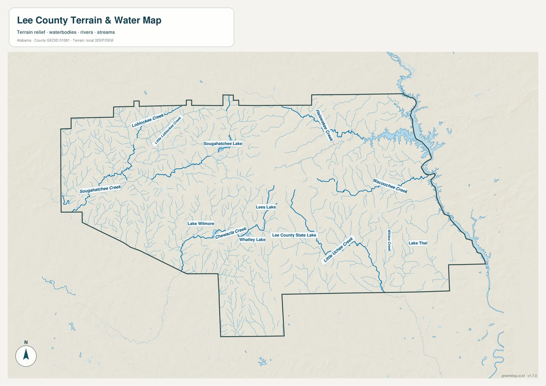
Farther east, the map labels Halawakee Creek, Wacoochee Creek, Little Uchee Creek, and Willies Creek. These streams run through a less urban landscape before reaching the larger drainage system along the Georgia side. Their spacing also helps explain the many narrow valleys visible on the elevation map. A road map can make eastern Lee County look comparatively empty; the hydrography sheet shows that it is physically divided by many small waterways.
Water is not only a natural feature here. The City of Auburn identifies Lake Ogletree, southeast of the city, as its primary water source. That makes the county’s reservoirs and watersheds relevant to everyday urban life as well as recreation and scenery. At the same time, this map is a location reference rather than a flood, water-quality, or navigation chart. Those questions require the appropriate official datasets and local guidance.
The drainage pattern is also a reminder that Lee County sits near a regional divide. Water on the Auburn side includes streams associated with the Tallapoosa basin, while parts of the east drain toward the Chattahoochee system along the Georgia border. The map does not need technical basin boundaries to make that difference visible: the direction of the stream network already shows that the county is not organized around a single river valley.
Elevation separates the higher northern hills from lower stream valleys
The elevation map records an actual range of roughly 56 to 286 meters, with a mean of about 183 meters. Higher brown and tan terrain stretches across much of the north and north-central part of Lee County. Lower green areas become more common along the eastern edge, across parts of the south, and in the narrow valleys cut by streams. The relief is not mountainous, but it is strong enough to create a clear rolling landscape rather than a uniformly flat surface.
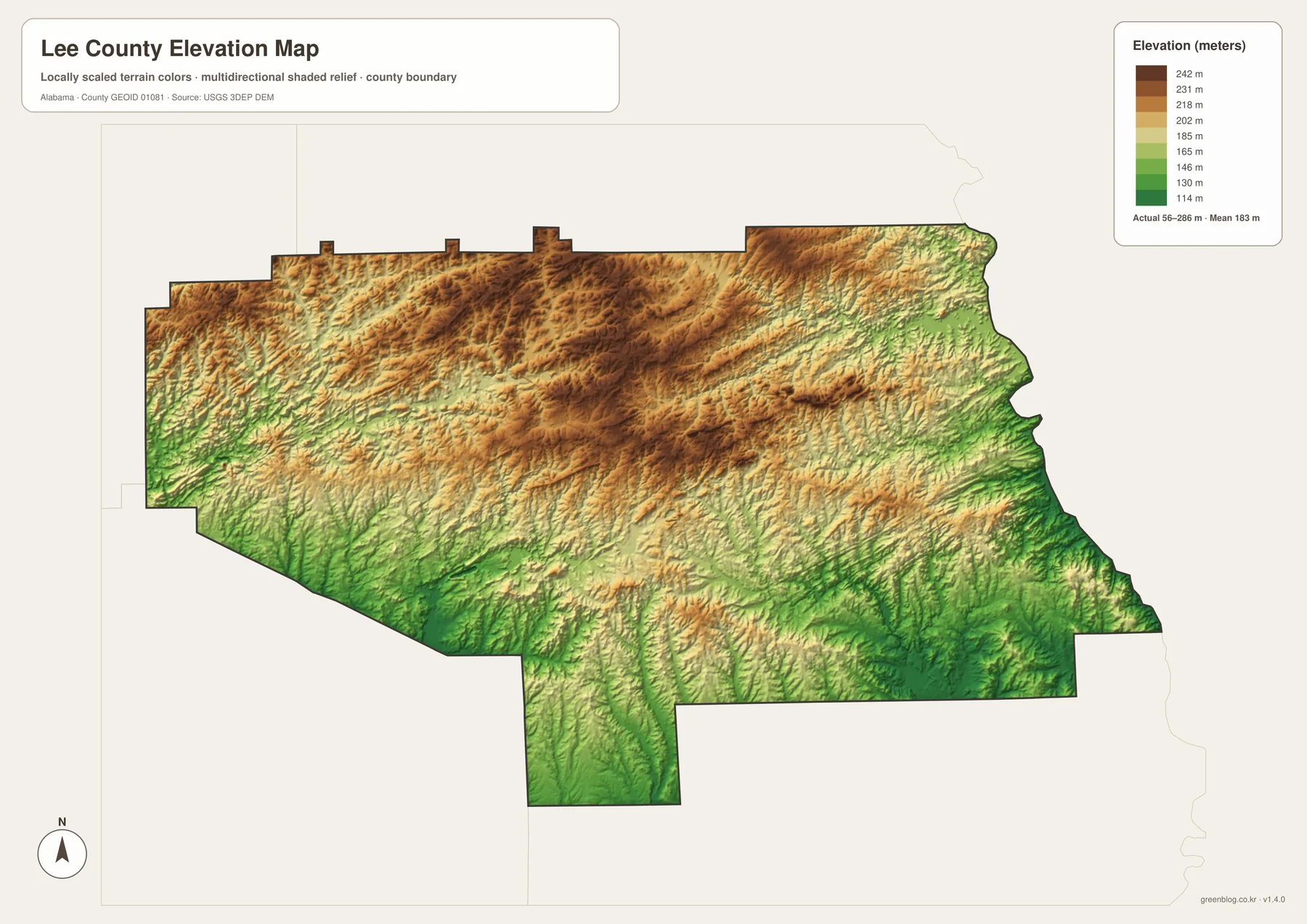
The terrain becomes clearer when the water and elevation sheets are viewed side by side. Many of the green low areas follow the same branching lines as creeks on the hydrography sheet. The higher north-central surface is broken by repeated valleys, while the east contains long lower corridors leading toward the state line. This makes it easier to see why a short drive outside Auburn or Opelika can move from dense development into wooded, rolling land with frequent creek crossings.
The elevation colors should be used for broad comparison, not for determining the slope of a specific property or the safety of a building site. The map is designed to show county-scale relief. For engineering, floodplain work, or precise site planning, readers should use the underlying USGS elevation products and local professional guidance.
Which Lee County map is best for your purpose?
Use the general county sheet when you need roads, named places, and the county outline together. It is the quickest way to orient Auburn and Opelika against Smiths Station, Phenix City, Loachapoka, Notasulga, and Waverly. The city sheet is better when the goal is a clean comparison of the main settlement locations without the extra labels found on a full reference map.
The water sheet is the strongest choice for locating creeks, small lakes, and the direction in which tributaries cross the county. For terrain questions, the elevation sheet makes the north–south and east–west height differences much easier to see. Printing the water and elevation maps side by side is also useful for classroom work because students can match low valleys with the stream network without needing specialized GIS software.
- County map: boundary, roads, Auburn–Opelika, and surrounding place names
- City map: a clean five-place comparison centered on Auburn and Opelika
- Water map: Saugahatchee, Chewacla, Halawakee, Little Uchee, lakes, and smaller tributaries
- Elevation map: county-wide relief from about 56 to 286 meters
Frequently Asked Questions
Why is Opelika the county seat when Auburn is larger?
Opelika was chosen as the county seat when Lee County was created in 1866, and the courthouse and major county government functions developed there. Auburn later became the larger city as Auburn University and the surrounding economy expanded. Population size does not automatically move an established county seat.
Why do Phenix City and Notasulga appear on the county reference map?
Both help explain boundary geography. Phenix City is mainly in Russell County but has annexed property in Lee County, while most of Notasulga is in Macon County with a portion extending into Lee County. Their labels show that municipal limits can cross or meet county lines in ways that are not obvious from a simple county outline.
What elevation range is shown on the Lee County terrain map?
The map annotation gives an actual range of about 56 to 286 meters and a mean near 183 meters. Higher terrain is most noticeable across the north and north-central county, while lower areas follow many eastern and southern creek valleys.
Map File Information
Download the county, city, water, and elevation sheets together in one ZIP archive.
- Included Files: county, city, water, and elevation maps
- File Type: four high-resolution A3 JPG files
- Intended Use: printing, classroom work, presentations, and map-based projects
Related Maps
- Abbeville, Headland, and Lake Eufaula on the Henry County Alabama Map
- Autauga County Map
- Barbour County Alabama Map
Sources and reference data
- U.S. Census Bureau QuickFacts – Lee County, Alabama
- Alabama Department of Transportation Highway Functional Classification Maps
- Auburn University history
- City of Auburn – Lake Ogletree
- USGS National Hydrography
- USGS 3D Elevation Program
Green Map creates custom-edited map images using open geographic data sources such as geoBoundaries, Natural Earth, OpenStreetMap, and government open data. These maps are edited visual materials, not raw data files, and are provided for education, documents, presentations, and graphic reference.