Ecuador Map Download is useful for anyone who needs a clear printable map of the country rather than a simple location image. Ecuador sits on the west coast of South America between Colombia and Peru, with the Pacific Ocean along its western side. Although it is not one of the largest countries in South America, its geography makes it interesting to show on a map because it includes the Andean highlands, coastal areas, Amazon-side regions, and the Galapagos Islands.
This printable Ecuador map collection includes three main versions: a color administrative map, a black and white labeled map, and a blank outline map. The files were prepared in high resolution for A3-size printing, with both Korean and English labels included in the map design. The Galapagos Islands are also placed separately so users can see them together with mainland Ecuador in one visual layout.
For teachers, students, bloggers, presentation creators, and infographic designers, a well-organized Ecuador map can save time when preparing visual materials. A written explanation can describe where Ecuador is located, but a labeled map makes it much easier to compare provinces, identify Quito, and explain the country’s position along the Pacific coast. The map can also help when creating study sheets about South America, travel-related visuals, regional comparison graphics, or classroom geography resources.
During the map preparation process, the main challenge was fitting the mainland area and the Galapagos Islands into a readable layout without making the map feel crowded. Extra attention was given to label placement, boundary clarity, and print readability so the map remains clear when enlarged or printed. The result is a practical Ecuador Map Download page with versions that support printing, presentation use, and graphic editing work.
Table of Contents
Ecuador Map Download Overview
This map set was created for users who need more than one visual style. Some projects need color-coded regions, while others work better with a clean black and white layout. For editing projects, the outline version gives users a blank base map that can be customized with colors, labels, routes, or data.
The collection includes:
- Color administrative Ecuador map
- Black and white labeled Ecuador map
- Blank Ecuador outline map
- Galapagos Islands inset-style placement
- A3 high-resolution layout
- Korean and English labeling
- CMYK print-ready color mode
The map was prepared using vector-based editing in Adobe Illustrator and color adjustment in Photoshop. This helps keep boundary lines and labels sharp when the map is enlarged for posters, worksheets, or presentation slides.
Color Administrative Ecuador Map
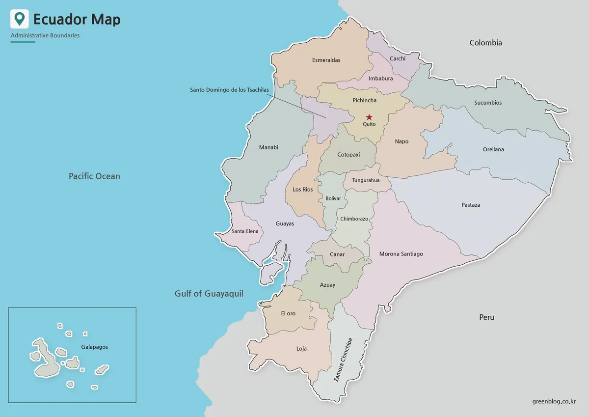
The color version is designed to make Ecuador’s administrative divisions easier to compare at a glance. Since the country has both mainland regions and the Galapagos Islands, color separation helps users understand that the map is not only showing one compact land area but also a separated island province in the Pacific.
Quito is marked with a red star in the Pichincha area, making the capital easier to locate when the map is used in presentations or classroom explanations. Province names are shown with Korean and English labeling, which makes the map useful for bilingual reference materials or Korean-language educational content prepared for international geography topics.
This version works well for visual explanations, country profile graphics, blog images, and regional comparison materials. When users need to quickly show where one province sits in relation to another, the color layout gives the map a clearer structure than a plain boundary map.
Black and White Printable Ecuador Map
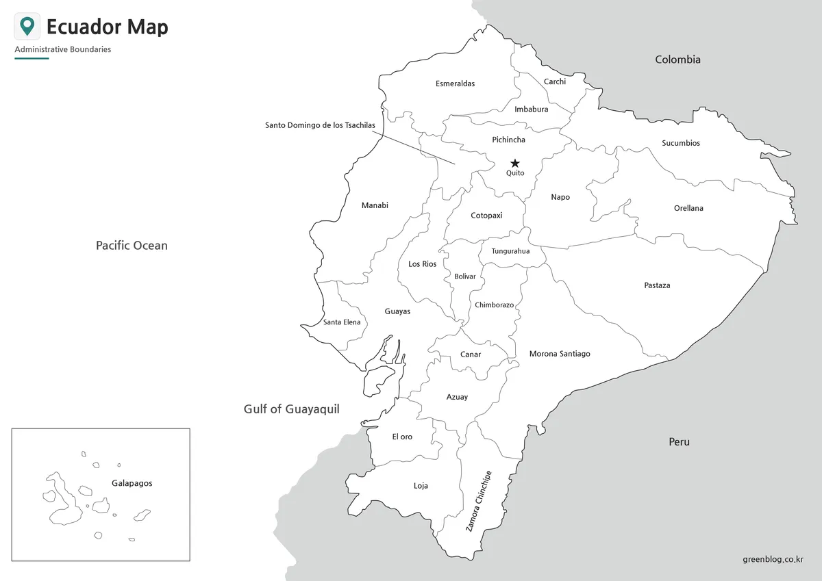
For printed handouts, reports, or worksheets, the black and white version is often easier to use. Ecuador has many province labels in a relatively compact map area, so removing background colors helps the text stand out more clearly. This is especially helpful when the map is printed on standard office paper or inserted into a document.
The cleaner layout also reduces visual distraction. Students can write notes directly on the map, teachers can add arrows or markers, and bloggers can place the image into informational posts without strong colors competing with the surrounding content.
The black and white Ecuador map is a good choice when the main goal is readability. It keeps the administrative boundaries and labels visible while giving users a simple reference image for printing, study materials, and presentation documents.
Blank Ecuador Outline Map for Editing
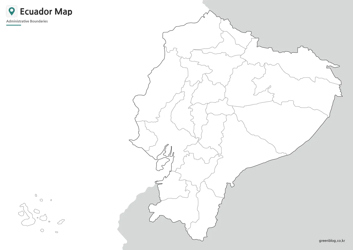
The outline map removes both color and place labels, leaving only the administrative boundary lines. This makes it a flexible base map for custom projects. Users can add population data, travel routes, regional highlights, classroom coloring areas, infographic labels, or presentation markers.
Because the boundary lines were organized as a clean map structure, the outline version is easier to edit in graphic software. It can be used as a background for educational worksheets, YouTube visuals, blog graphics, or data comparison images.
For Ecuador, the blank version is especially helpful when users want to separate mainland provinces from the Galapagos Islands visually. Designers can apply their own color palette, highlight Quito, mark coastal and inland regions, or create a simplified South America comparison graphic.
Built for Printing and Visual Reference
The maps were prepared at A3 size, which gives more room for province names and boundary lines to remain readable. This matters because small maps often lose clarity when inserted into slides or printed in larger formats. The Ecuador Map Download files were checked with printing and enlargement in mind, so the labels and lines do not become overly soft when viewed at a larger scale.
The Galapagos Islands were placed separately within the design to improve readability. Showing them at their exact geographic distance from the mainland would make the layout less practical for a single printable map, so the inset-style placement helps users see both the mainland and island area together.
Practical Uses for the Ecuador Map Collection
This printable map set can be used in different types of visual projects. Teachers can prepare geography handouts about South America, students can use the labeled version for reports, and designers can use the outline version as a base for custom infographic work.
The color map is best when the goal is quick province comparison. The black and white map works better for printing and note-taking. The outline map is the right choice when users need to add their own information, such as travel routes, statistics, regional colors, or presentation labels.
For blog posts and travel-related content, the map can also help explain Ecuador’s location between Colombia and Peru, its Pacific coastline, and the separate position of the Galapagos Islands. A single map makes these relationships easier to understand than text alone.
Frequently Asked Questions
Can I print the Ecuador map in A3 size?
Yes. The files were prepared for A3 high-resolution printing, so they work well for classroom handouts, posters, and presentation materials.
Does the map include the Galapagos Islands?
Yes. The Galapagos Islands are included separately in the layout so they can be viewed together with mainland Ecuador.
Which Ecuador Map Download version should I choose?
Use the color map for visual comparison, the black and white map for printing, and the outline map for editing or adding custom information.
Is the outline map suitable for beginners?
Yes. The blank boundary layout can be used for simple coloring, labels, route marking, or basic infographic projects.
Ecuador Map Download
Choose the Ecuador map version that fits your project. The collection includes color, black and white, and outline maps prepared for printing, classroom materials, presentations, and graphic editing.
- File Format: ZIP archive
- Image Size: A3 high-resolution layout
- Color Mode: CMYK print mode
- Intended Usage: printing, education, presentation slides, blog graphics, and editing projects
Related Maps
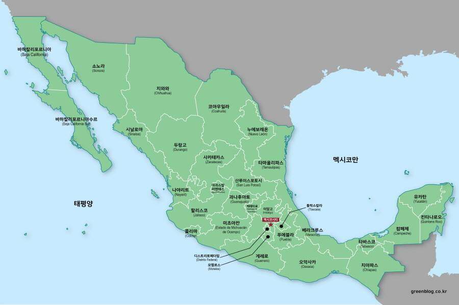
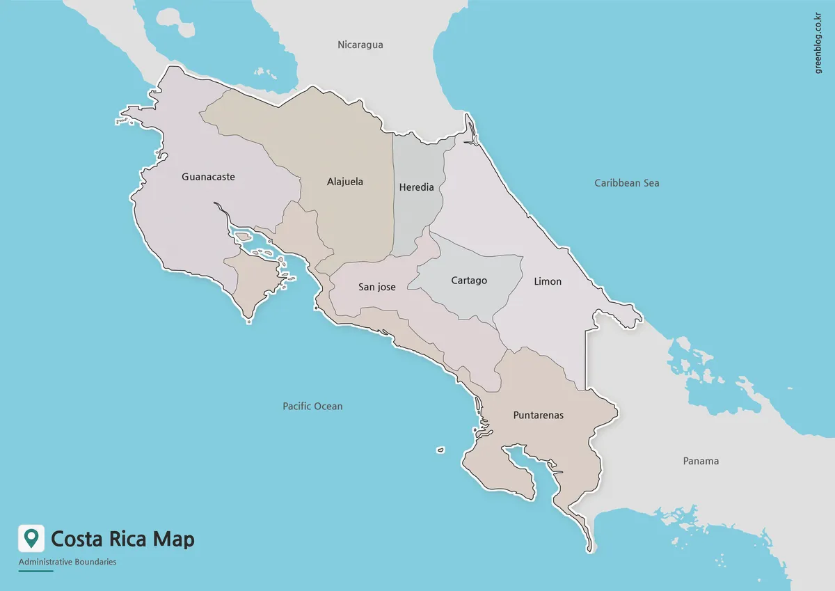
- Costa Rica Map Download | Printable Color, Black and White & Outline Maps
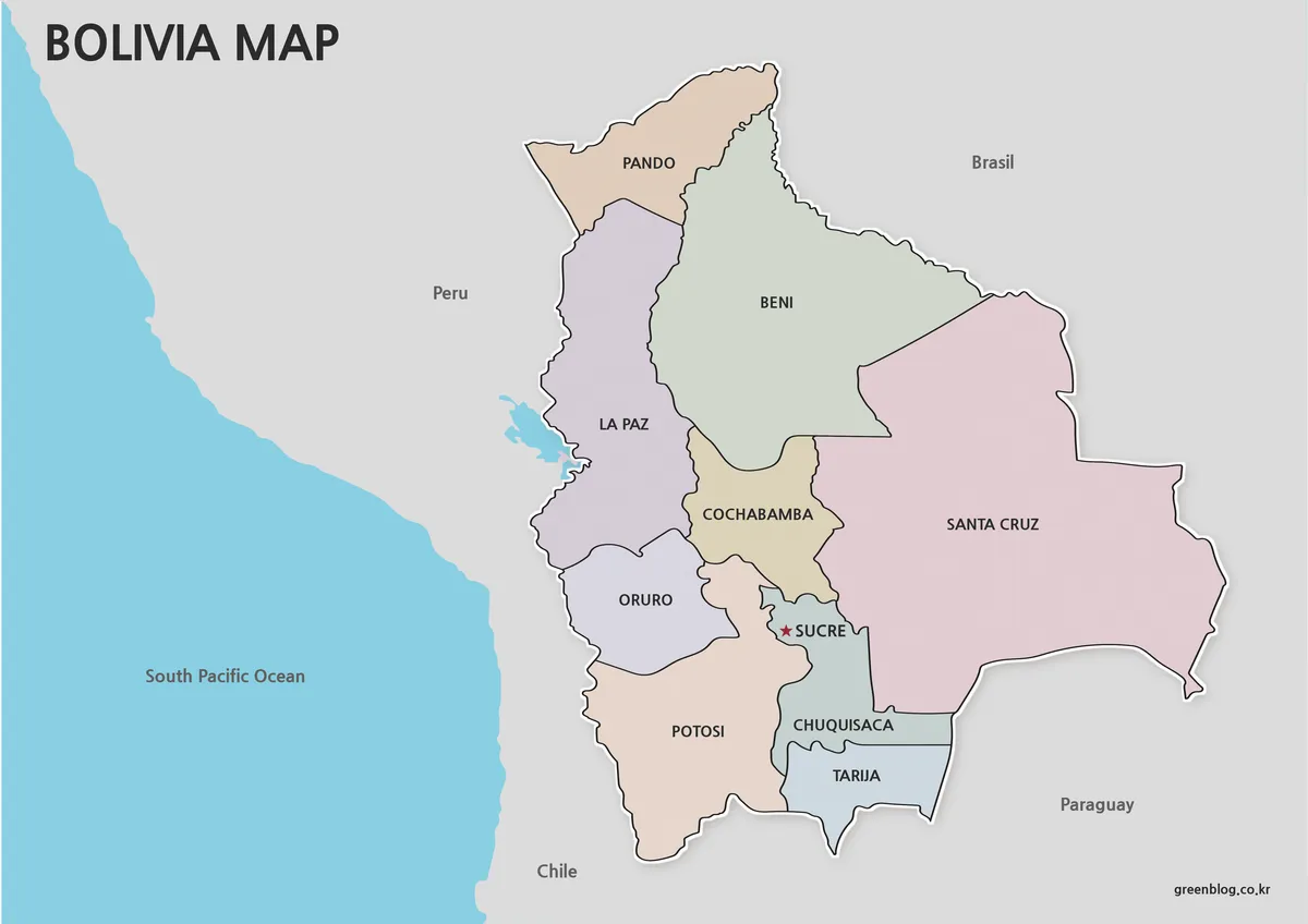
- Printable Bolivia Map Set – High-Resolution Maps for Education and Design
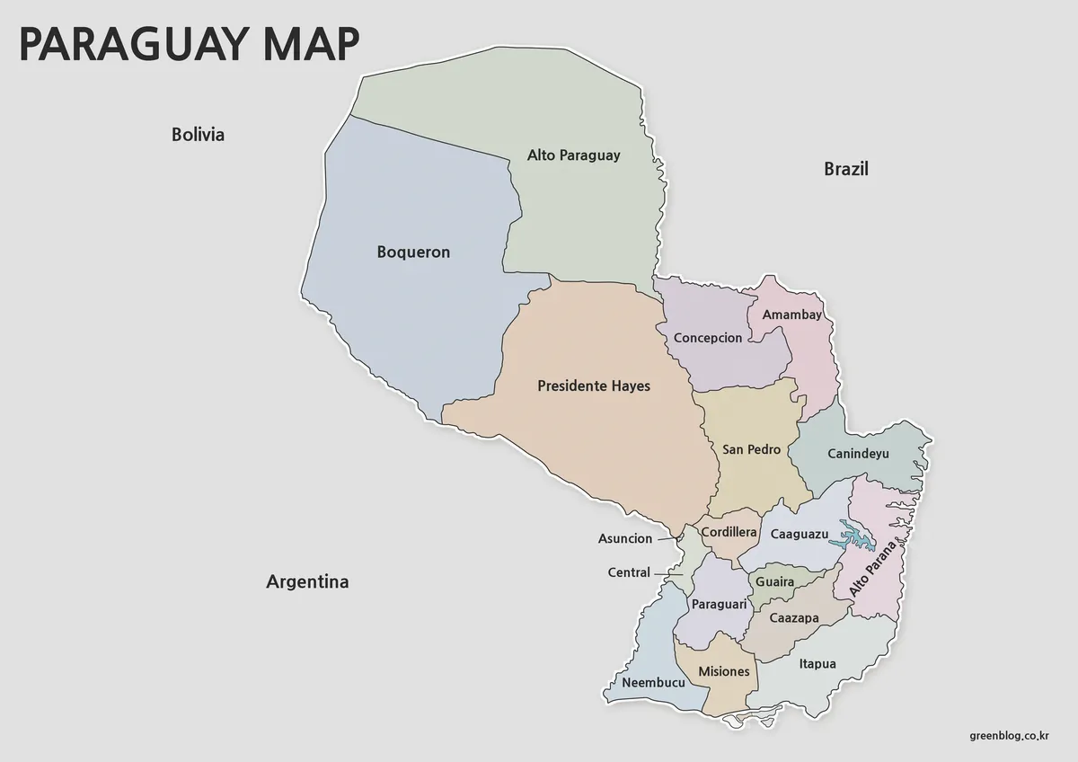
- Printable Paraguay Map Collection for Education and Design Projects
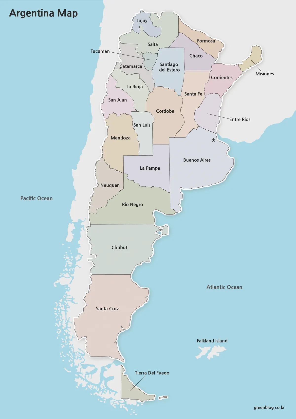
- Argentina Map Pack – Color, Blank and Printable A3 Maps
Additional Resources
- Geoportal Ecuador – IGM : Official Ecuador geoportal operated by the Instituto Geográfico Militar, useful for geographic viewers, map resources, and spatial reference information.