
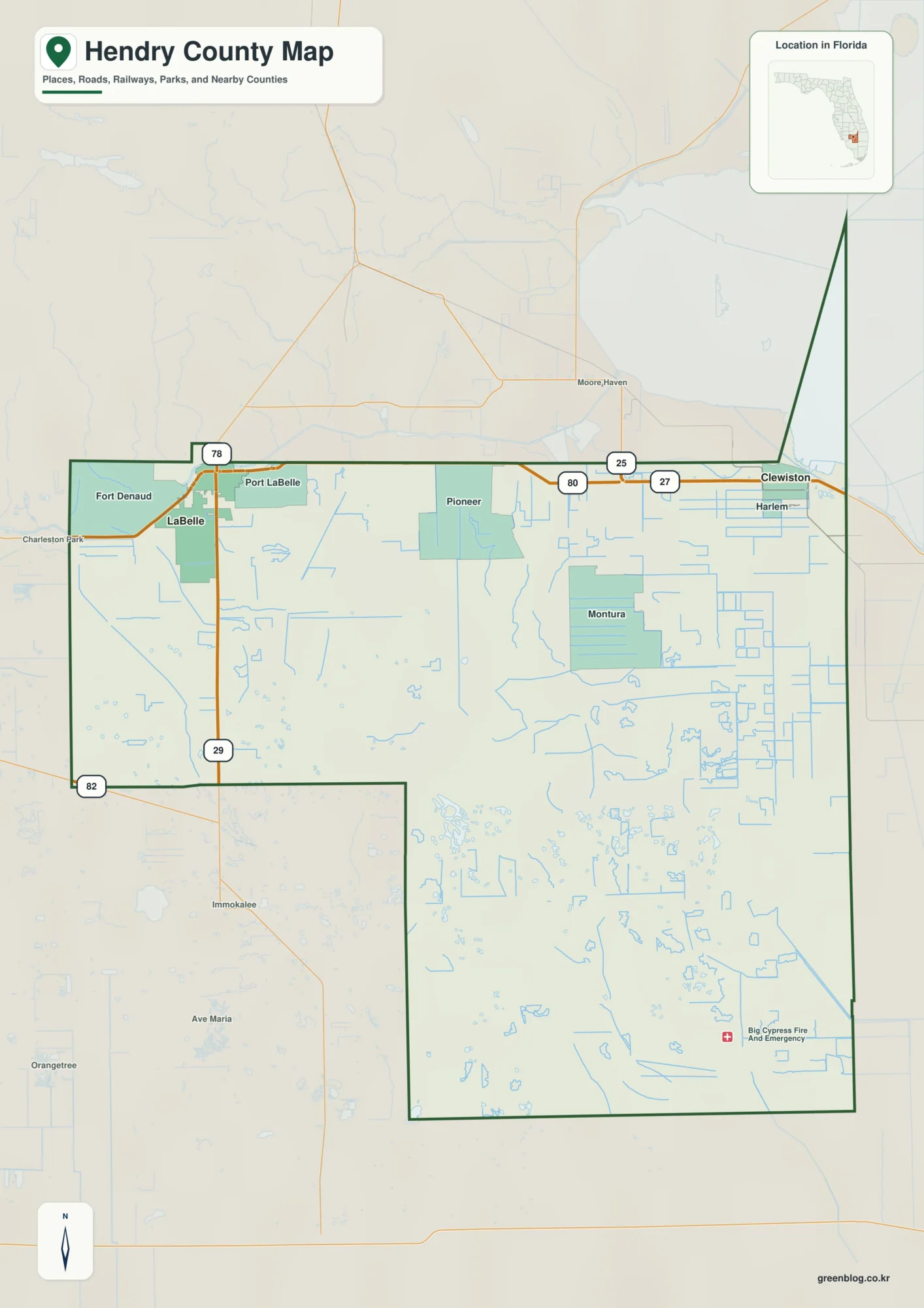
Hendry County Florida map | LaBelle and Clewiston
A useful way to read this Hendry County Florida map is to locate LaBelle in the west and Clewiston in […]
Hendry County Florida map | LaBelle and Clewiston Read More »
A useful way to read this Hendry County Florida map is to locate LaBelle in the west and Clewiston in […]
Hendry County Florida map | LaBelle and Clewiston Read More »
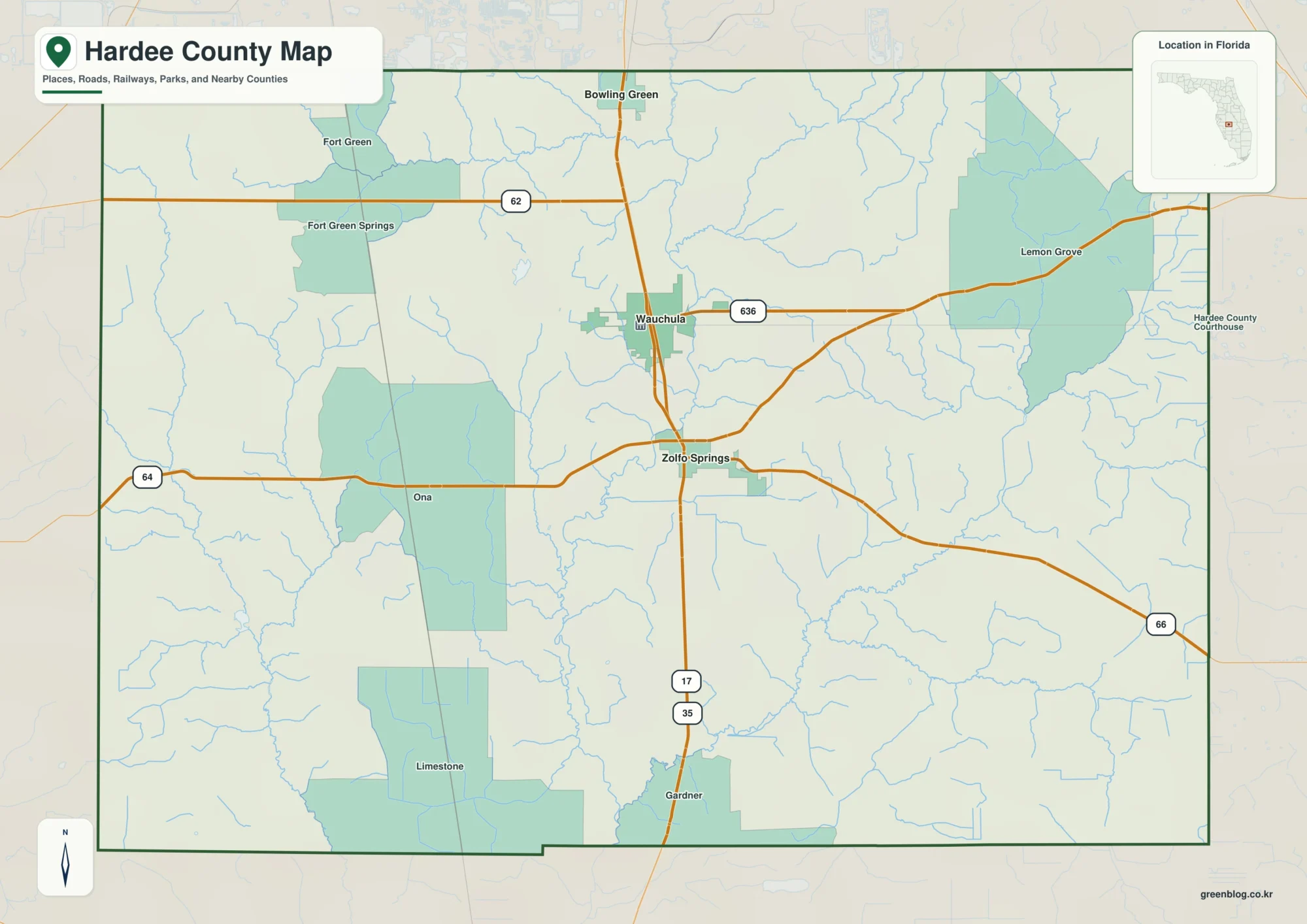
A Hardee County Florida map is easiest to read by starting with the north–south sequence of Bowling Green, Wauchula, and
Hardee County Florida map | Wauchula and the Peace River corridor Read More »
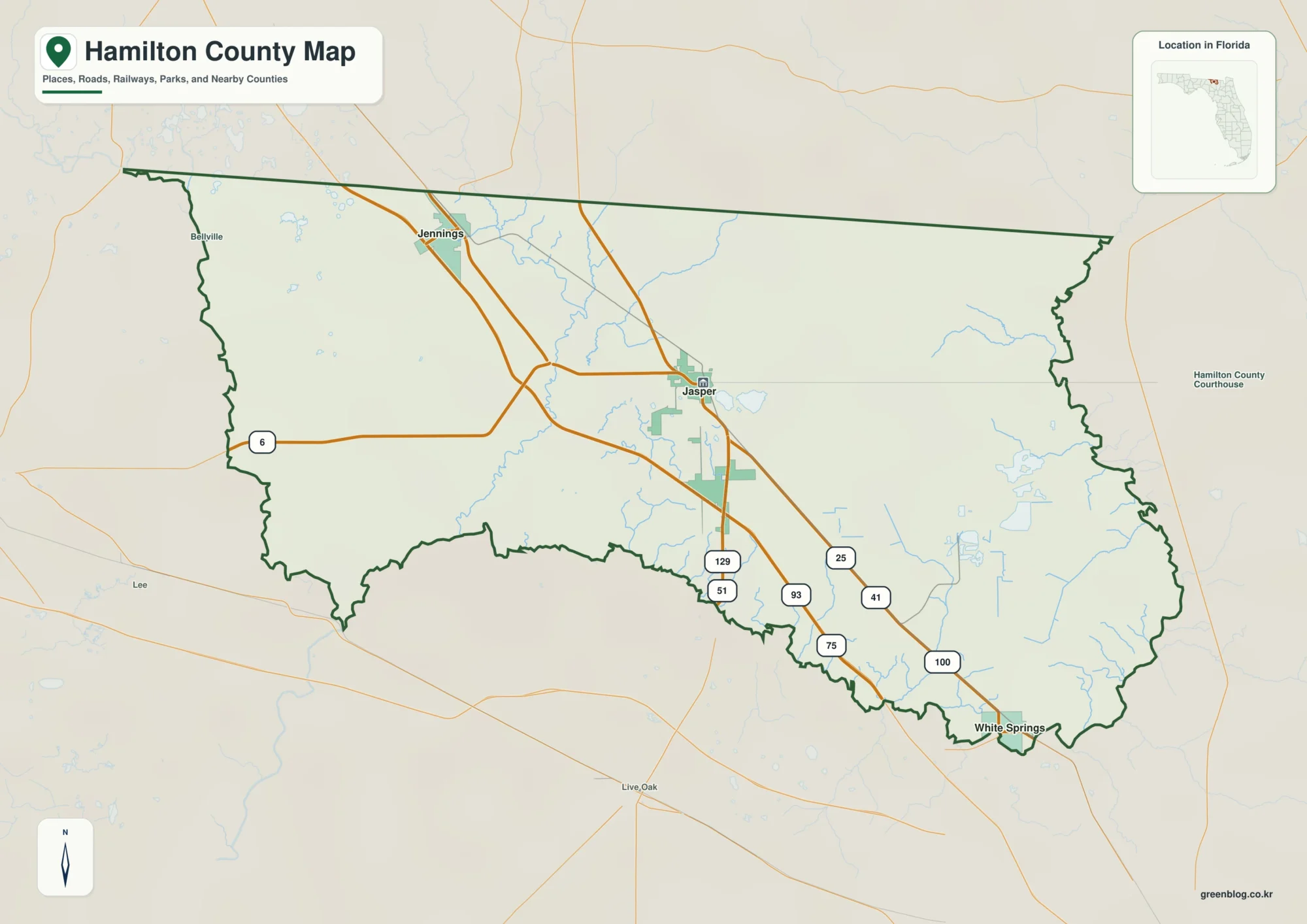
A Hamilton County Florida map makes more sense when the Georgia line and river boundaries are located before individual road
Hamilton County Florida map | Jasper, Jennings, and White Springs Read More »
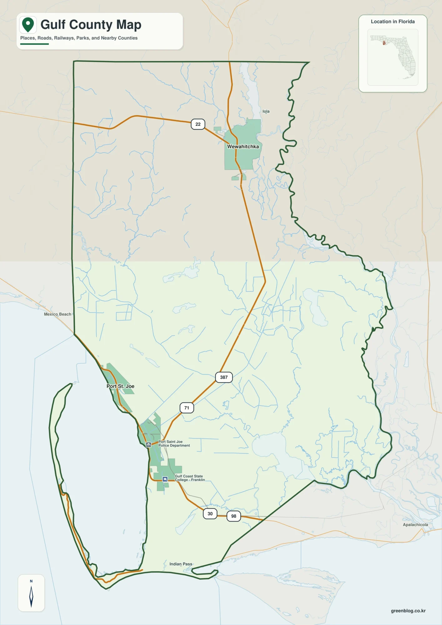
Gulf County Florida map brings together a coast-facing county seat and a river-basin city that can feel like separate regions.
Gulf County Florida map | Port St. Joe and Wewahitchka Read More »
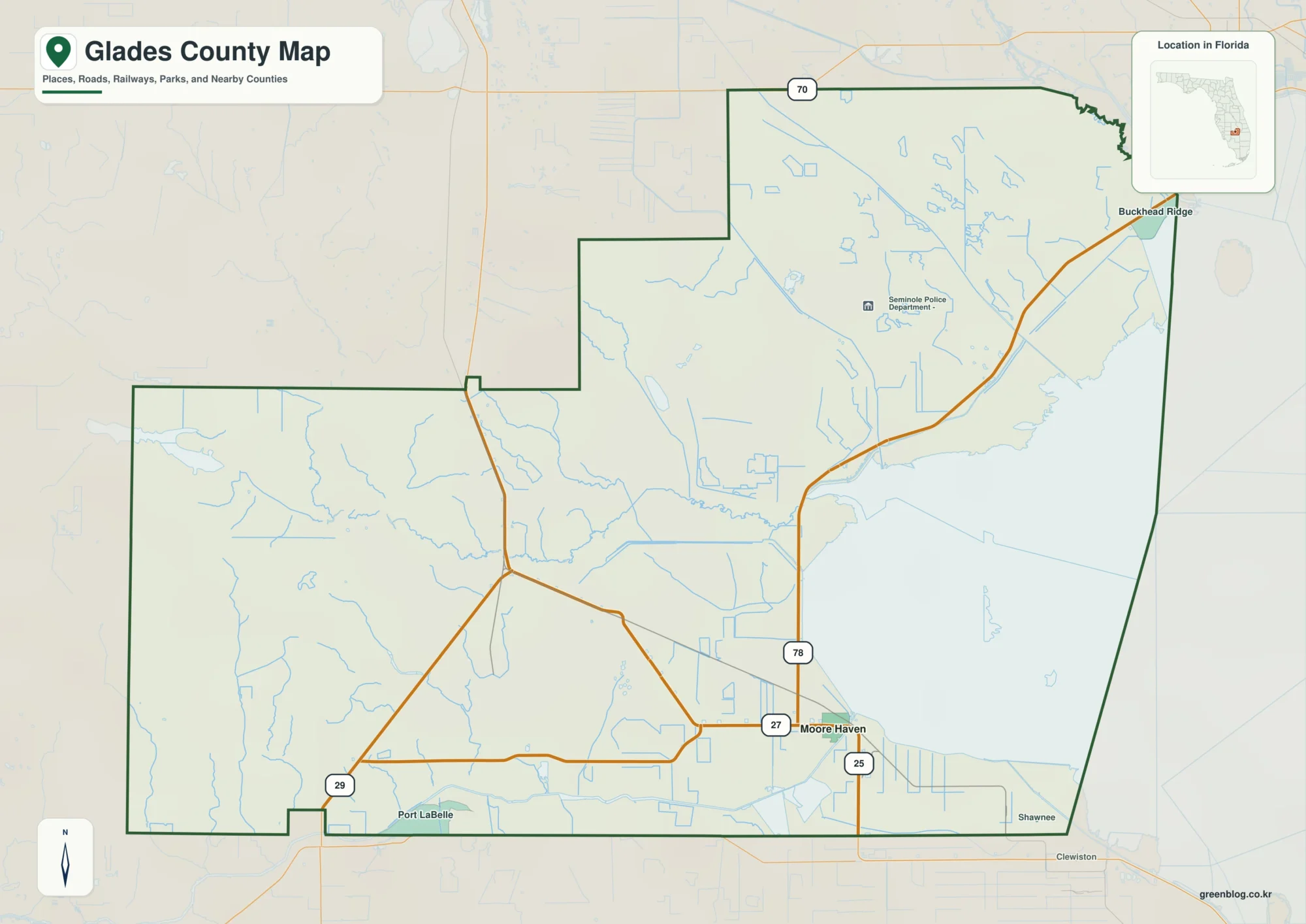
Glades County Florida map organizes a large, sparsely settled county around distinct water corridors. Moore Haven marks Lake Okeechobee’s western
Glades County Florida map | Moore Haven and the western Lake Okeechobee rim Read More »
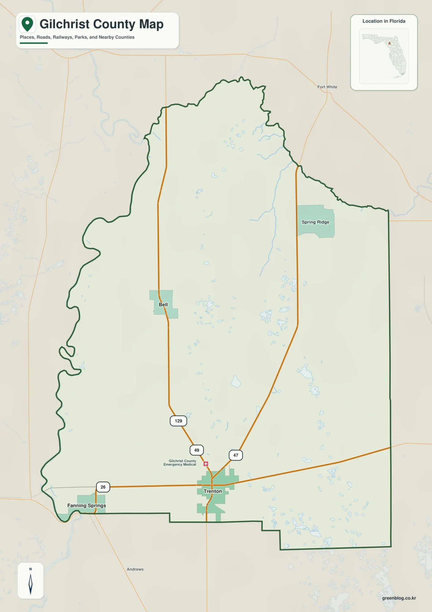
A Gilchrist County Florida map becomes coherent once two road axes and two river edges are identified. U.S. 129 runs
Gilchrist County Florida map | Trenton between two rivers and blue springs Read More »
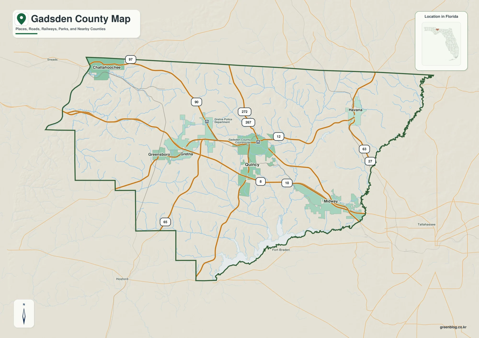
A Gadsden County Florida map is most coherent when Quincy is treated as the junction of three travel directions and
Gadsden County Florida map | Quincy between Georgia and the Apalachicola Read More »
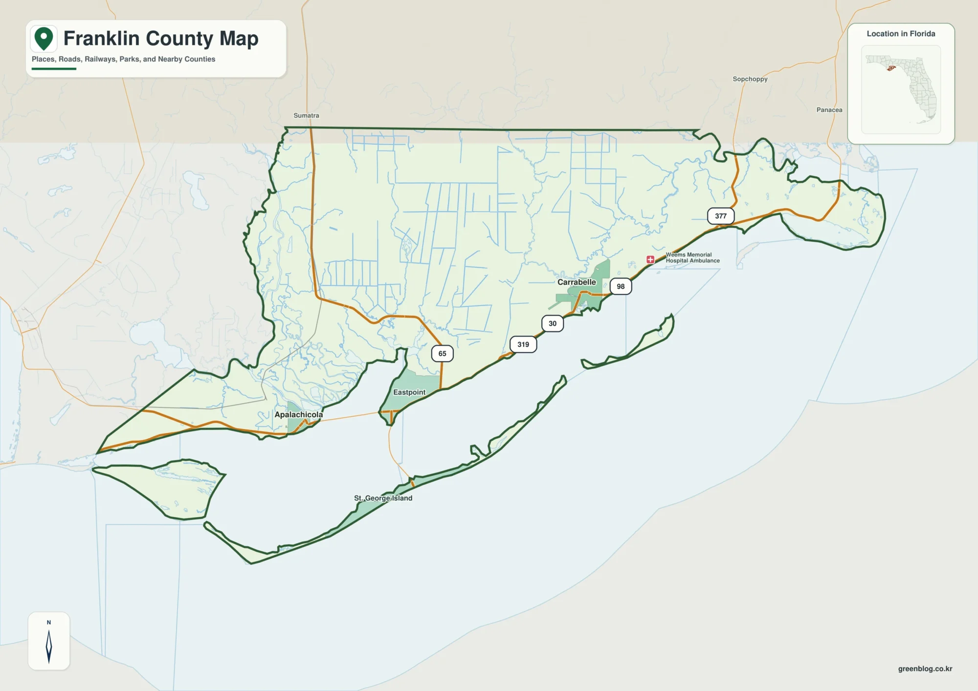
A Franklin County Florida map becomes useful once the coast is divided by estuary and crossing. Apalachicola is the county
Franklin County Florida map | Apalachicola Bay and St. George Island Read More »
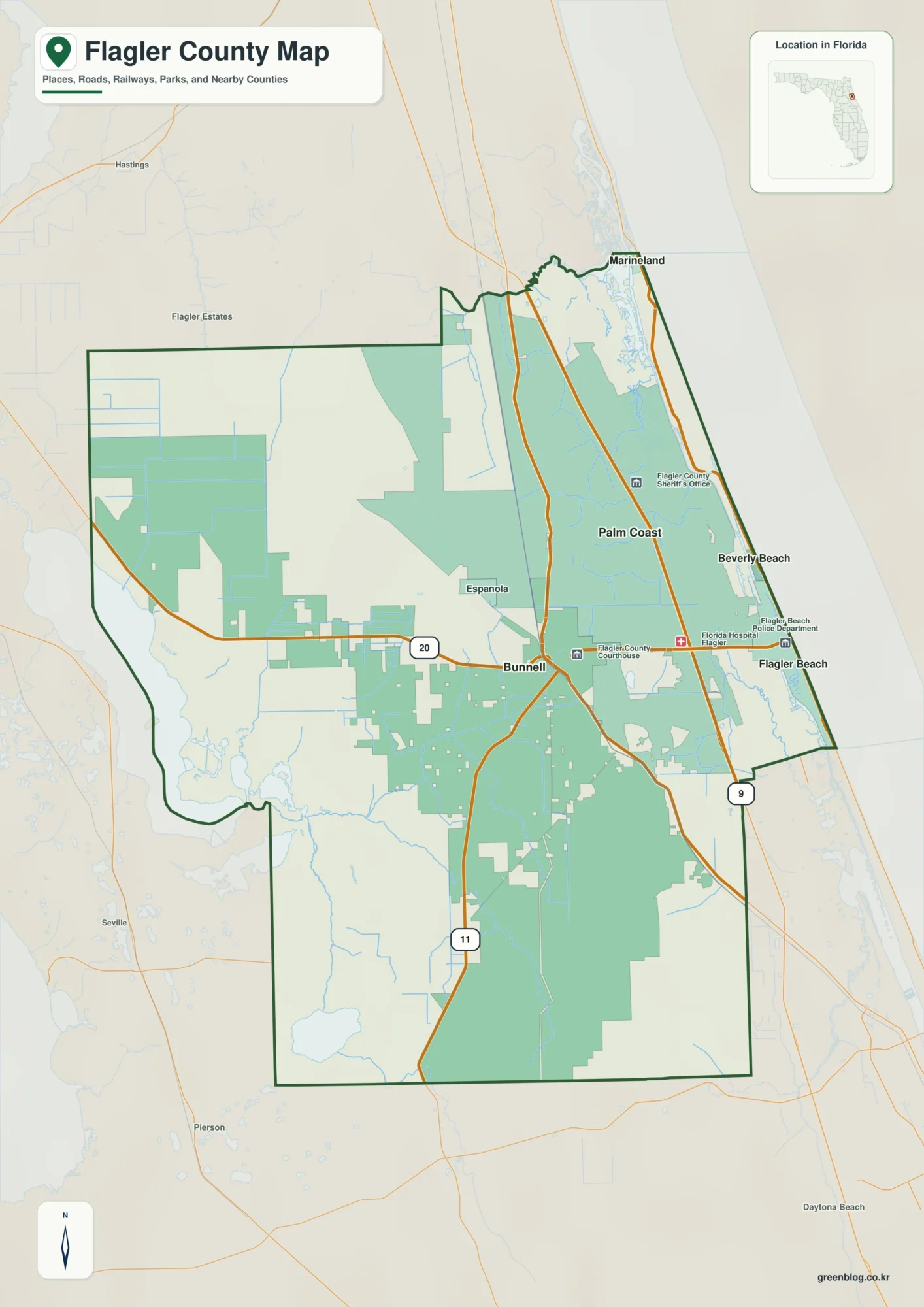
Flagler County Florida map readers need to separate three overlapping geographies. County government is based in Bunnell at U.S. 1
Flagler County Florida map | Bunnell, Palm Coast, and Flagler Beach Read More »