
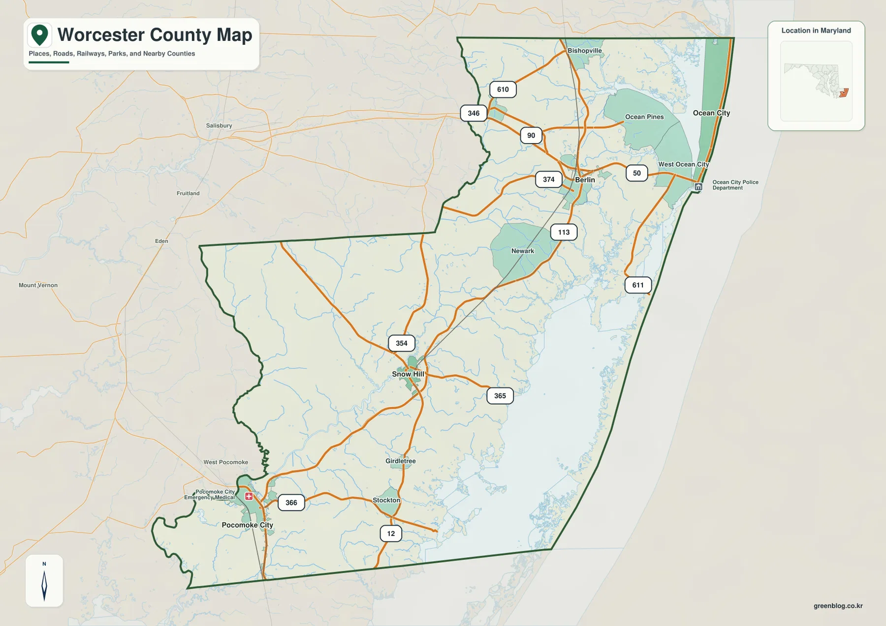
Worcester County Maryland Map along Ocean City, Sinepuxent Bay, and the Pocomoke Lowlands
Worcester County forms Maryland’s Atlantic edge, stretching from the Ocean City resort area in the northeast through Berlin and the
Worcester County forms Maryland’s Atlantic edge, stretching from the Ocean City resort area in the northeast through Berlin and the
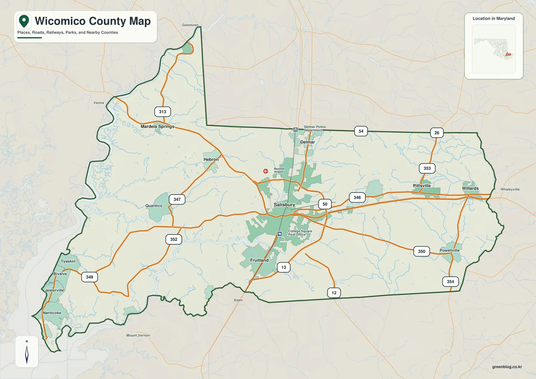
Wicomico County sits on Maryland’s Eastern Shore, where Salisbury forms the most prominent urban center and the road network spreads
Wicomico County Map of Salisbury Roads, Nanticoke River, and Eastern Shore Relief Read More »
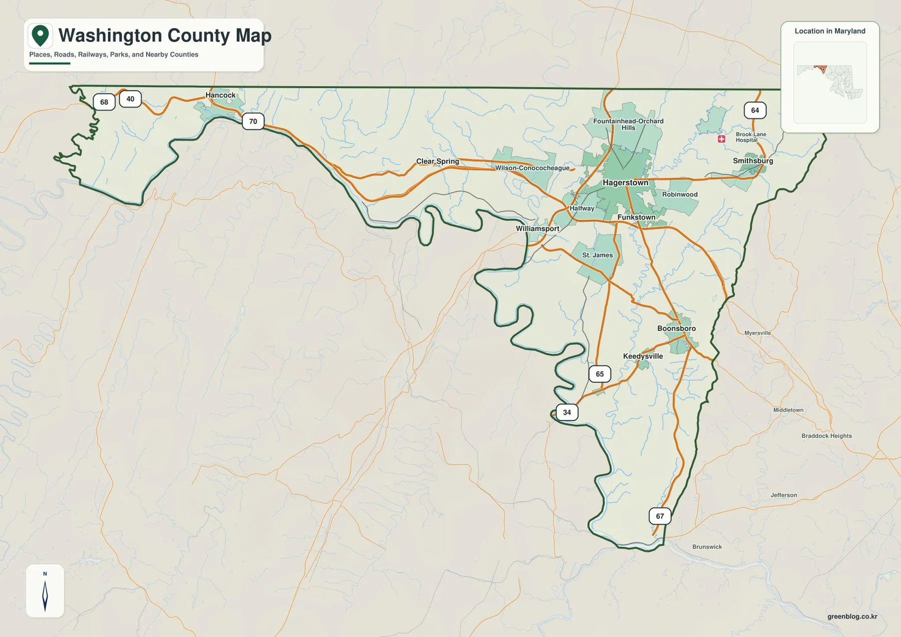
Washington County stretches across western Maryland in a long east-west shape, with Hagerstown at the center of a broad valley
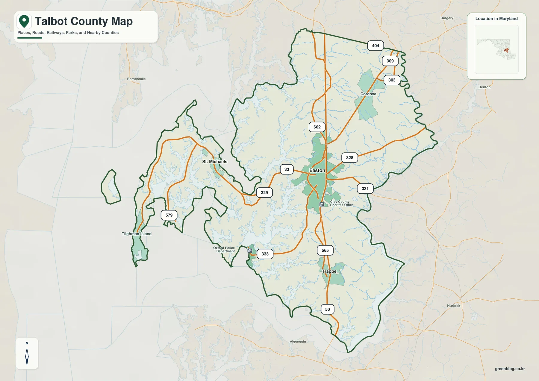
Talbot County occupies a deeply indented part of Maryland’s Eastern Shore, with Easton in the interior, St. Michaels and Tilghman
Talbot County Maryland Map from Easton to St. Michaels, Oxford, and the Choptank Shore Read More »
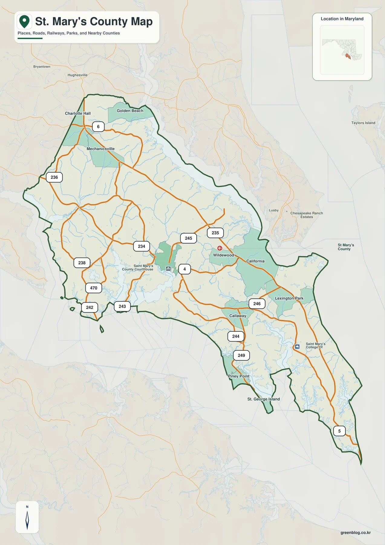
St. Mary’s County forms the long southern Maryland peninsula between the Patuxent River, Chesapeake Bay, and the Potomac River. Leonardtown
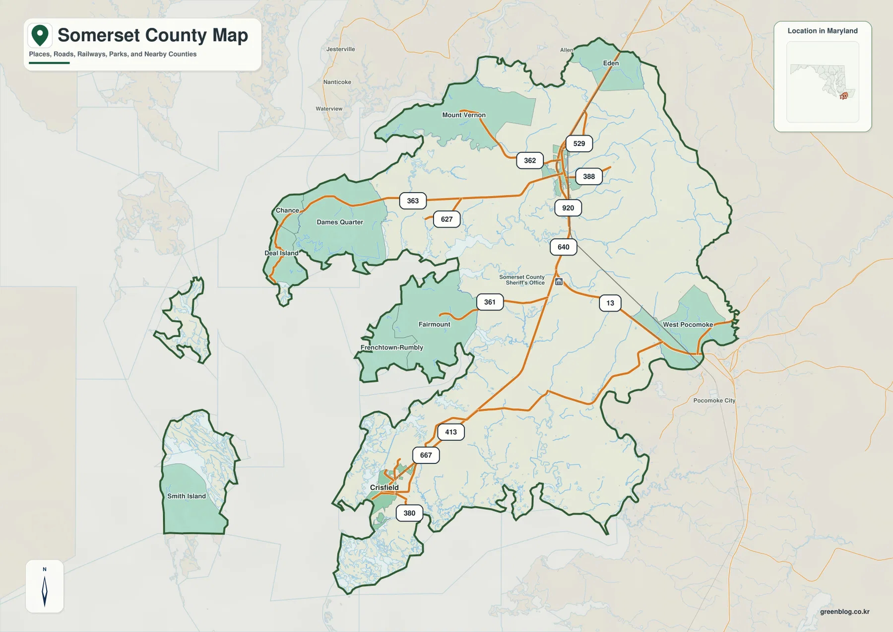
Somerset County occupies the low southern end of Maryland’s Eastern Shore, where the inland Princess Anne corridor contrasts with Crisfield,
Somerset County Maryland Map from Princess Anne and Crisfield to Tangier Sound Read More »
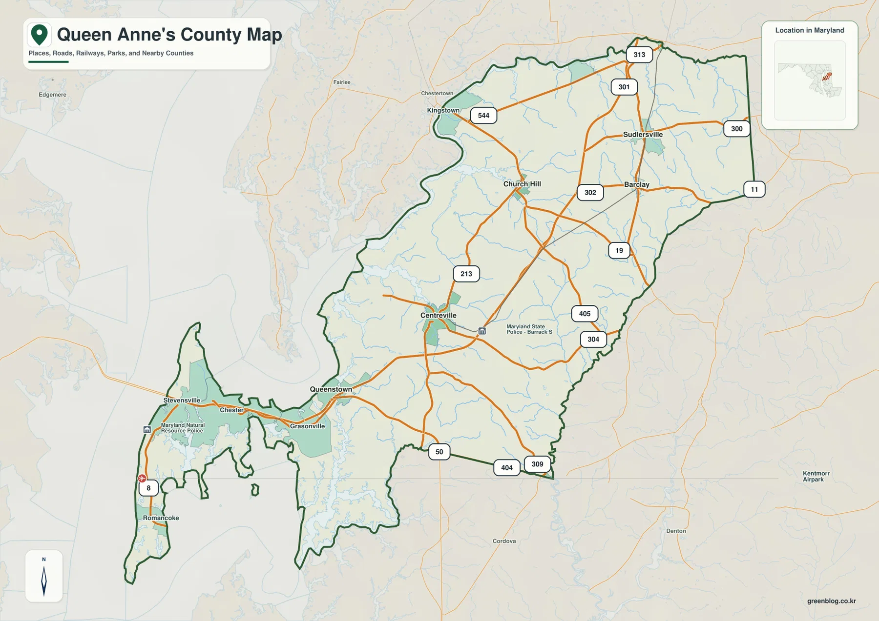
Queen Anne’s County spans a distinctive part of Maryland’s Eastern Shore, from Kent Island and the Chesapeake Bay Bridge corridor
Queen Anne’s County Map across Kent Island, Centreville, and the Chester River Lowlands Read More »
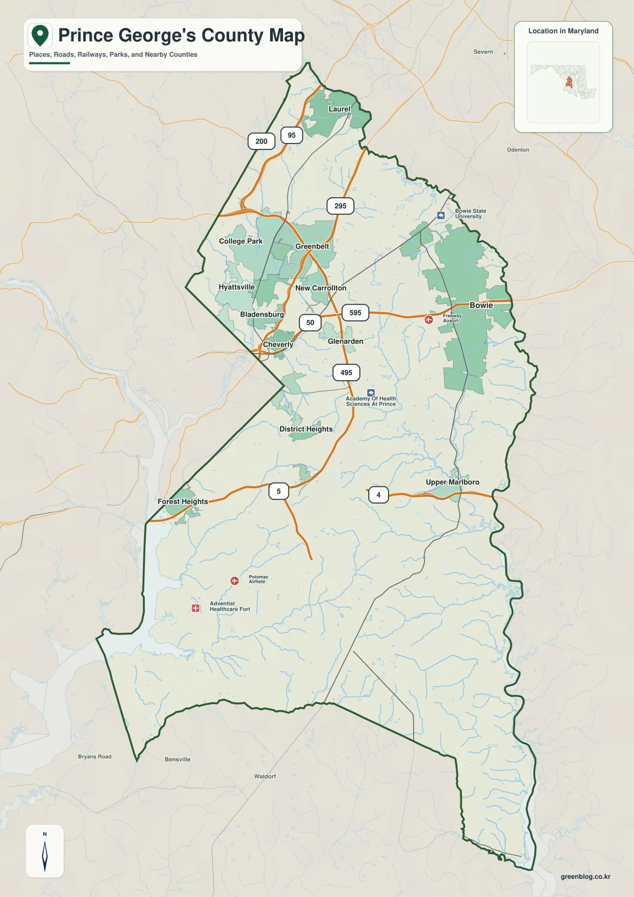
Prince George’s County wraps around the eastern and southern sides of Washington, D.C., stretching from Laurel in the north through
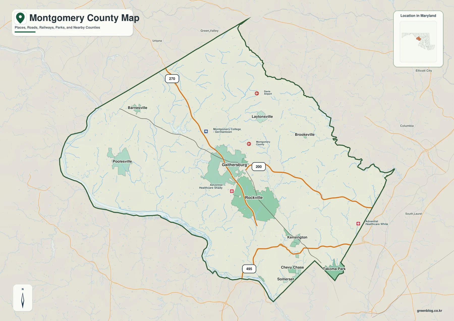
Montgomery County stretches from the Washington, D.C. edge to broad rural and stream-cut uplands in central Maryland. Rockville and Gaithersburg
Montgomery County Maryland Map from Rockville and Gaithersburg to the Potomac River Read More »