
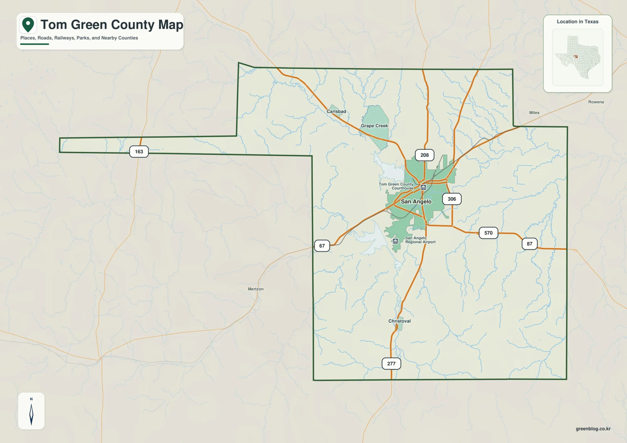
San Angelo and the Concho Rivers on a Tom Green County Map
This Tom Green County Map set is centered on San Angelo, then follows the county northwest toward Carlsbad and Grape
San Angelo and the Concho Rivers on a Tom Green County Map Read More »
This Tom Green County Map set is centered on San Angelo, then follows the county northwest toward Carlsbad and Grape
San Angelo and the Concho Rivers on a Tom Green County Map Read More »
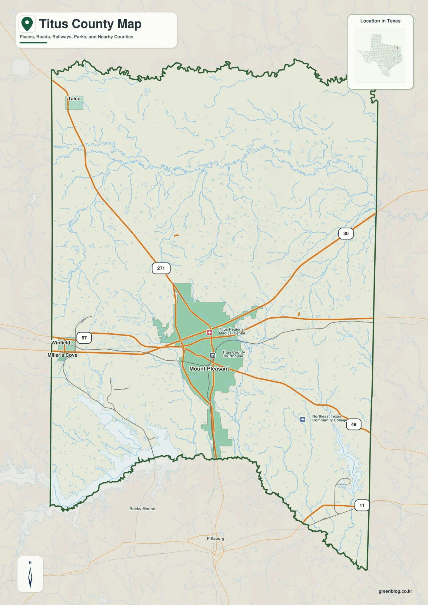
This Titus County Map set uses Mount Pleasant as the main reference for roads and settlement, then expands to Talco
Mount Pleasant and Whiteoak Creek on a Titus County Map Read More »
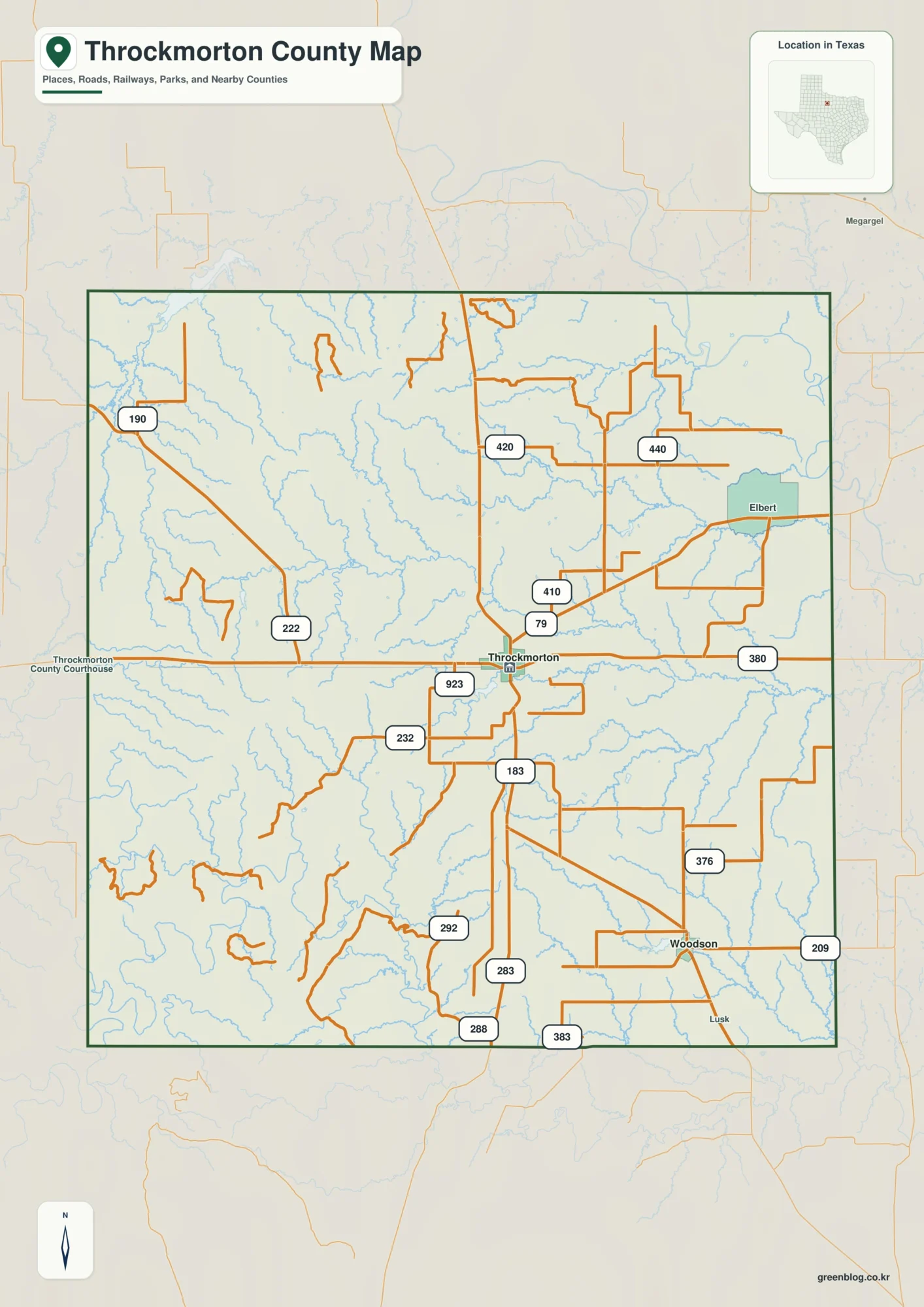
This Throckmorton County Map set is built around the town of Throckmorton, the southeast location of Woodson, the U.S. 380
Throckmorton County Map: Clear Fork Brazos, Woodson, and Western Hills Read More »
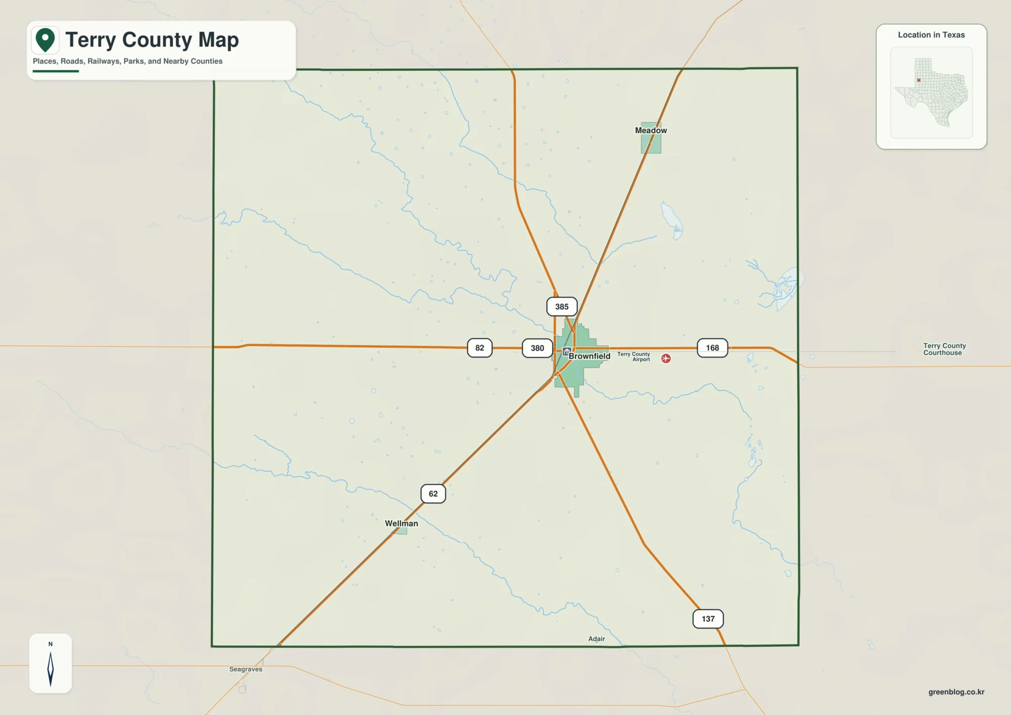
This Terry County Map set uses Brownfield as the central road and settlement reference, then adds the direct spacing of
Brownfield and Sulphur Springs Draw on a Terry County Map Read More »
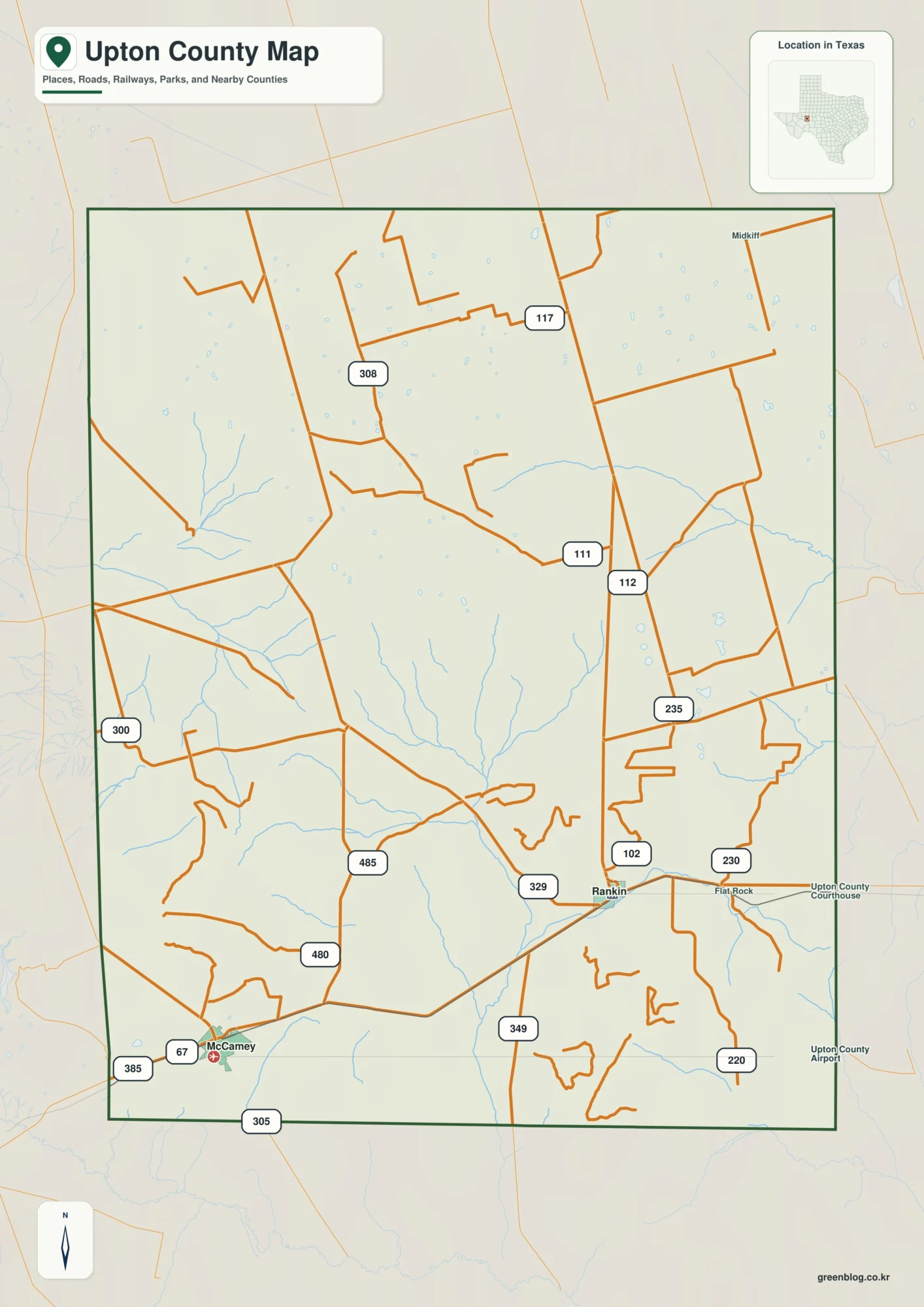
This Upton County Map set uses Rankin and McCamey as the two southern town references, then extends north and northeast
Rankin, McCamey, and Creek Valleys — Upton County Map Read More »
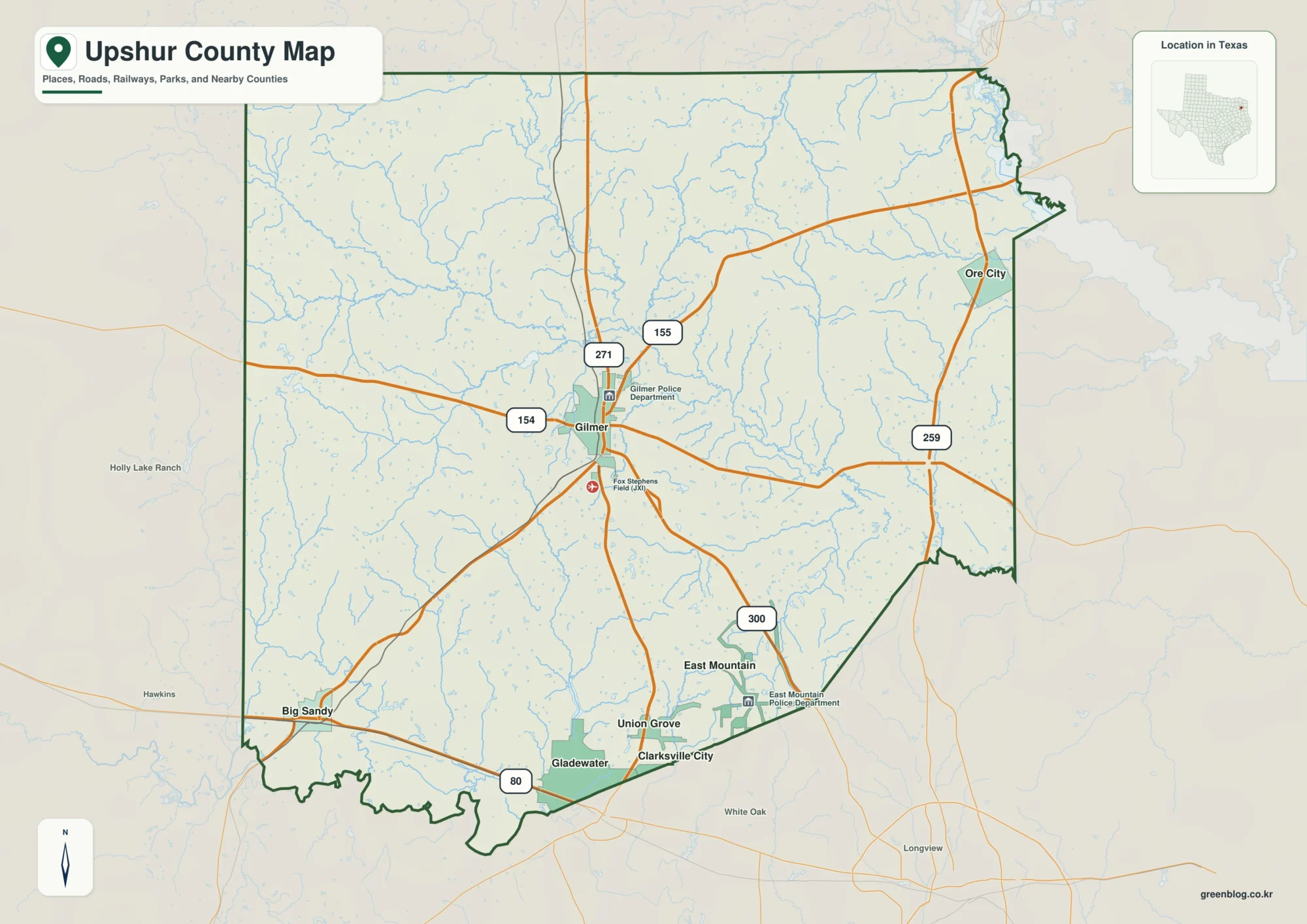
This page uses Gilmer as the road-centered anchor for an Upshur County Texas Map, then compares Big Sandy in the
Gilmer and Little Cypress Creek on an Upshur County Texas Map Read More »
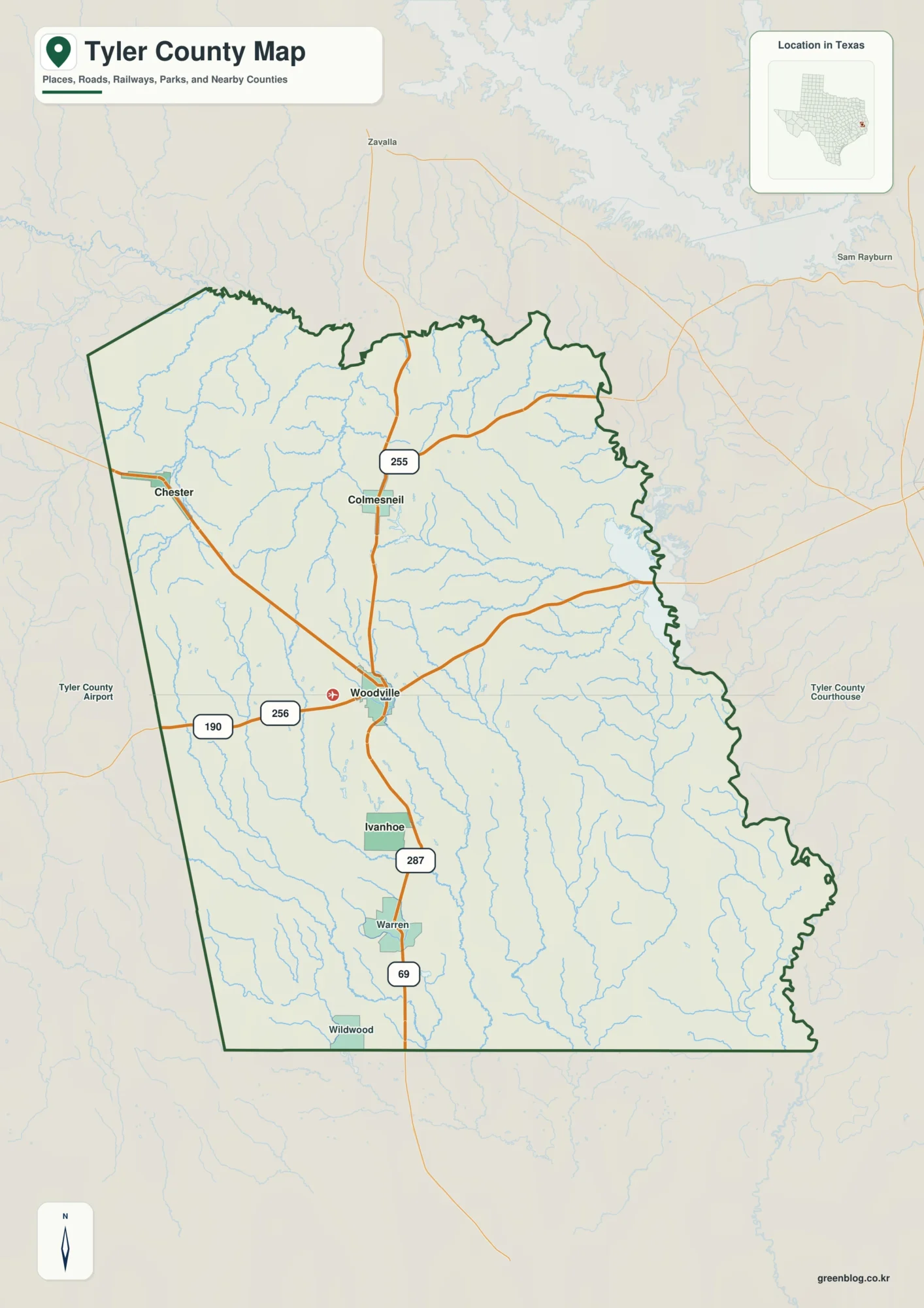
This page uses Woodville as the hub for a Tyler County Texas Map, then follows the county north toward Colmesneil
Tyler County Texas Map: Big Cypress Creek, Woodville, and 11–143 m Relief Read More »
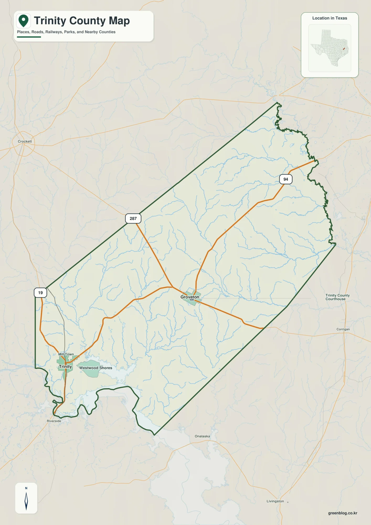
This page uses Groveton as the central road reference for a Trinity County Texas Map, then compares the larger town
Groveton and Neches River Valleys on a Trinity County Texas Map Read More »
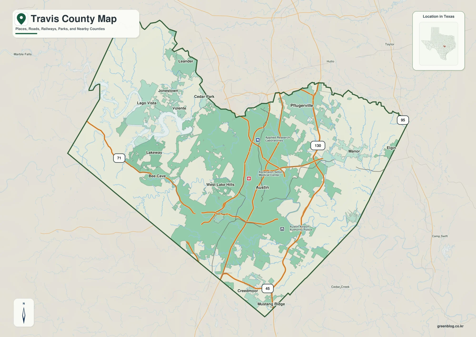
This Travis County Map set uses Austin as the central urban reference, then separates the flatter east and northeast from
Travis County Map: Austin, Lake Travis, and the Colorado River Corridor Read More »