
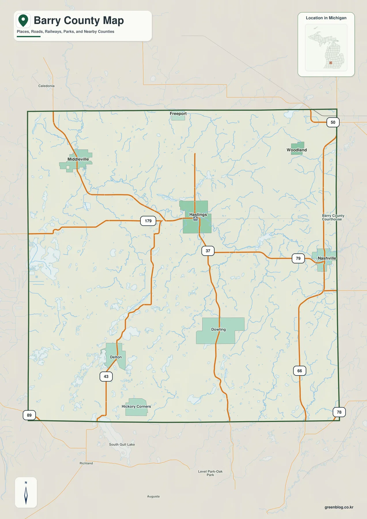
Barry County Michigan Map — Hastings Roads, Thornapple River Valleys, and Southern Lake Hills
Barry County in southwestern Michigan is organized around Hastings, a central city where several state routes meet, while the Thornapple
Barry County in southwestern Michigan is organized around Hastings, a central city where several state routes meet, while the Thornapple
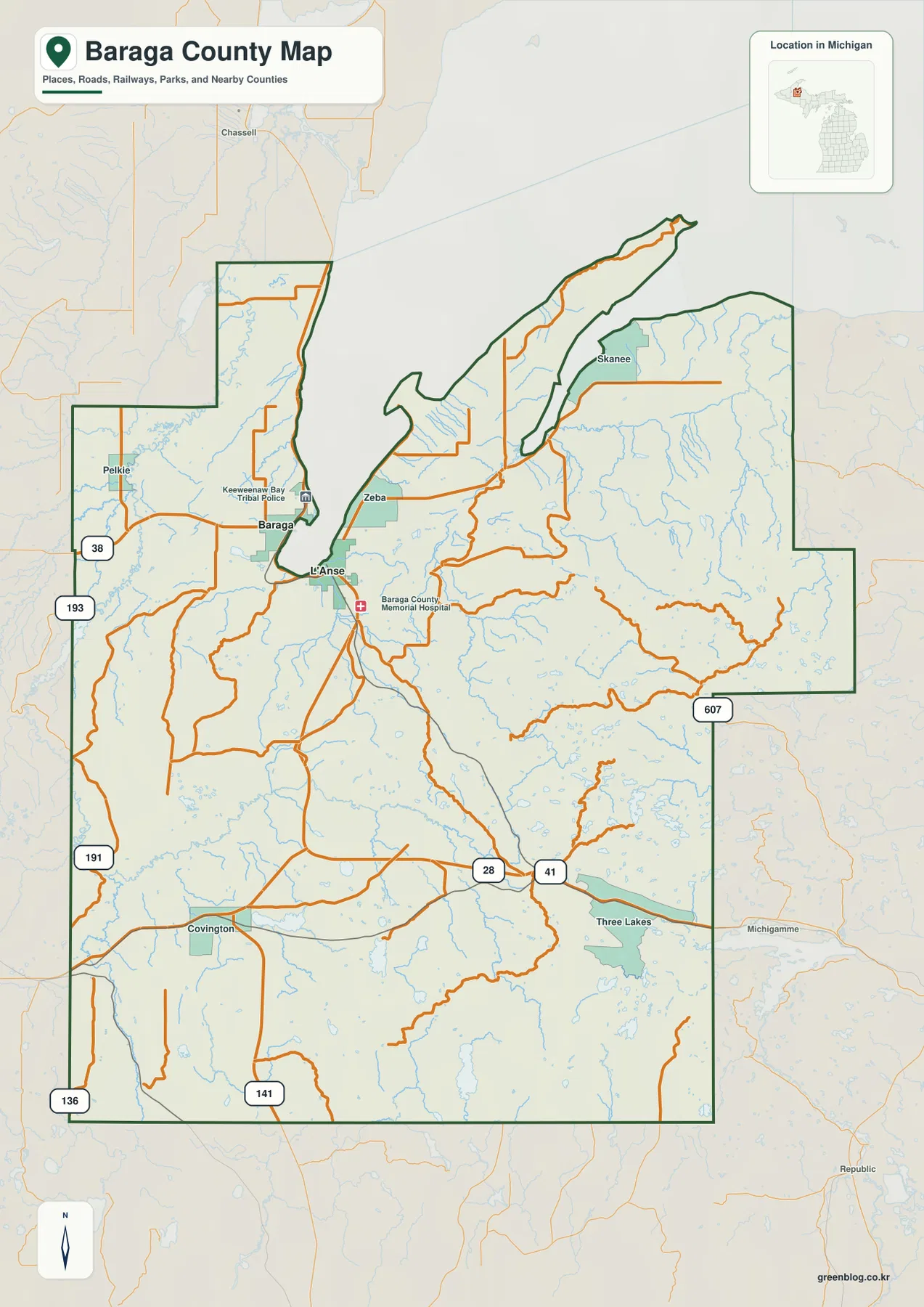
Baraga County in Michigan’s western Upper Peninsula combines a Lake Superior shoreline with a broad forested interior and a large
Baraga County Map from L’Anse and Keweenaw Bay to the Sturgeon River Highlands Read More »
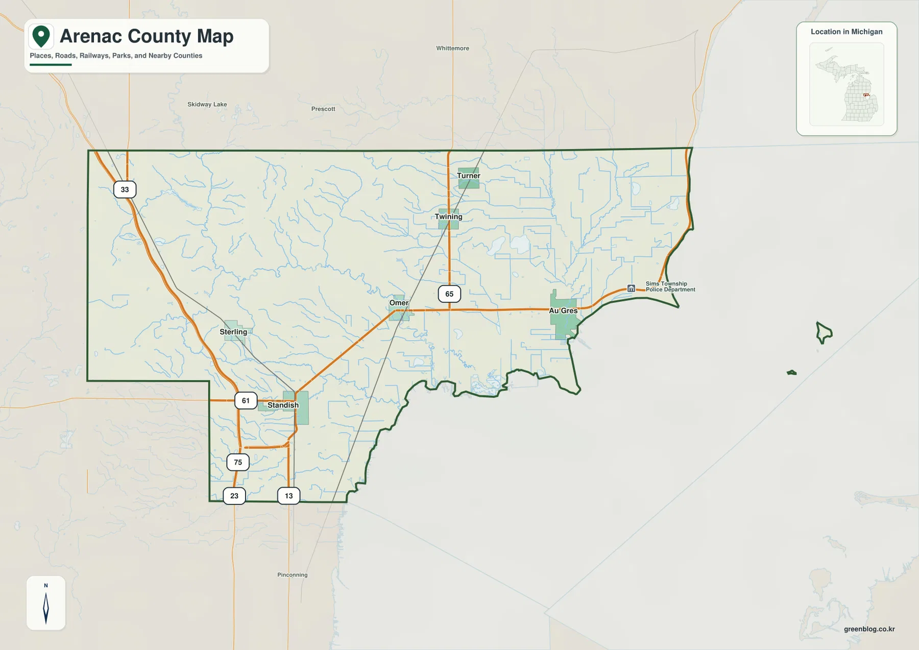
Arenac County sits on the lower side of Saginaw Bay in Michigan’s Lower Peninsula, where a broad low shoreline meets
Arenac County Map beside Saginaw Bay: Standish, Au Gres, Rifle River, and Western Ridges Read More »
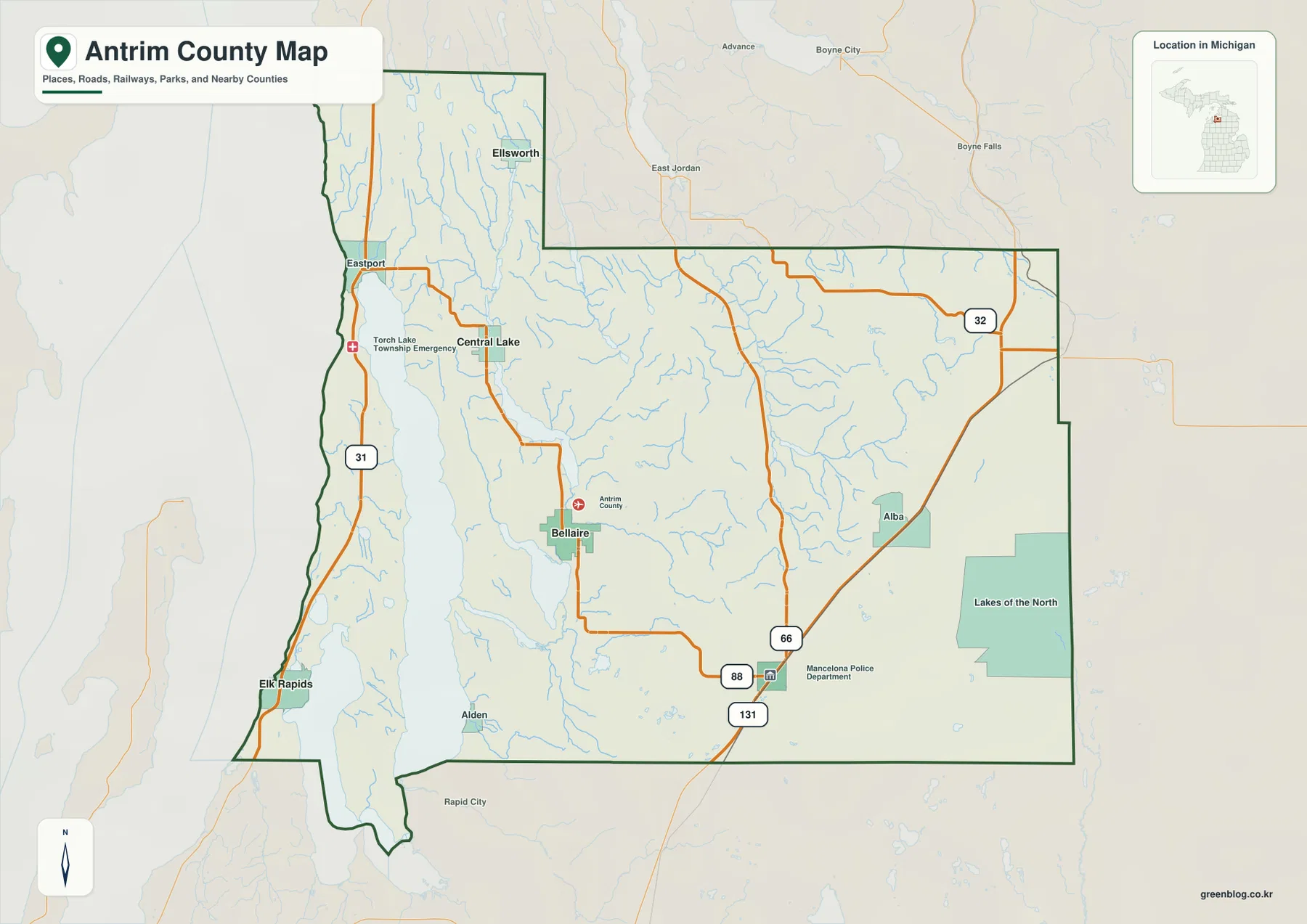
Antrim County in northwestern Michigan combines a long western lakeside section with an interior chain of lakes and higher rolling
Antrim County Map around Torch Lake, Bellaire, Mancelona, and the Jordan River Uplands Read More »
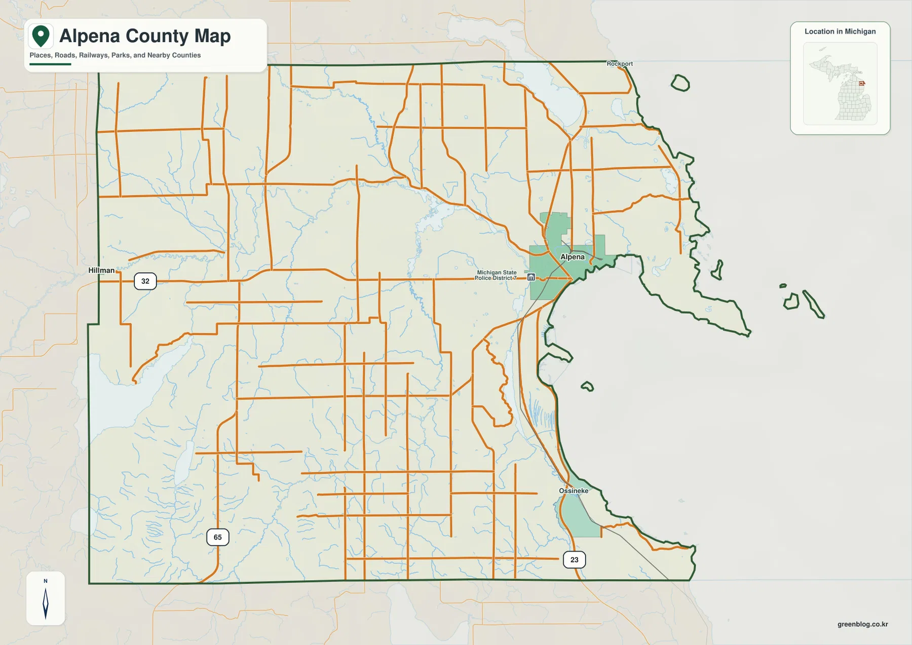
Alpena County sits on the Lake Huron side of Michigan’s Lower Peninsula, with the city of Alpena occupying a prominent
Alpena County Map: Thunder Bay River, M-32, Long Lake, and Lake Huron Read More »
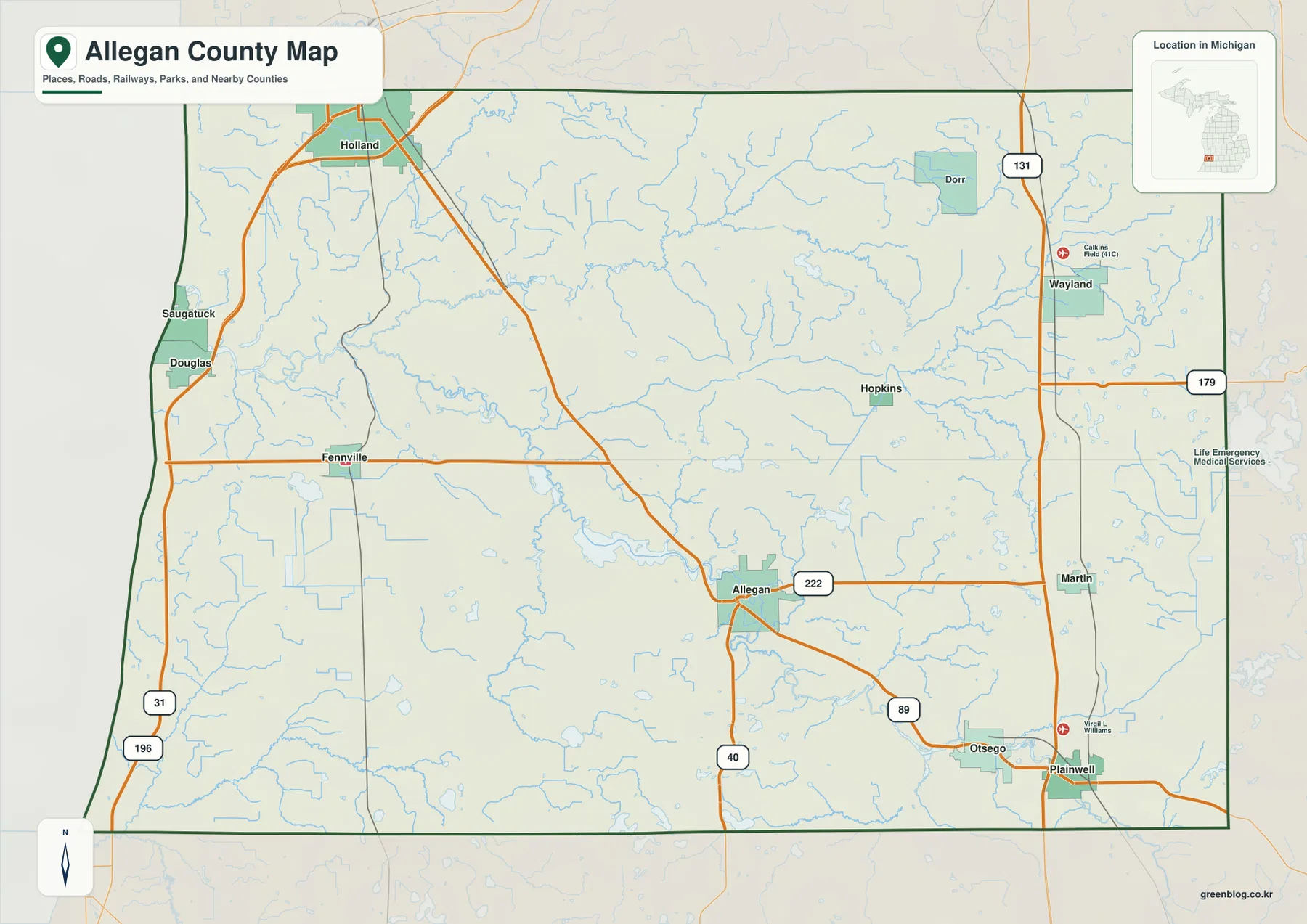
Allegan County stretches across western Michigan from the Lake Michigan shore to a broad inland landscape of small cities, rivers,
Lake Michigan to the Gun River: An Allegan County Map of Towns, Roads, and Relief Read More »
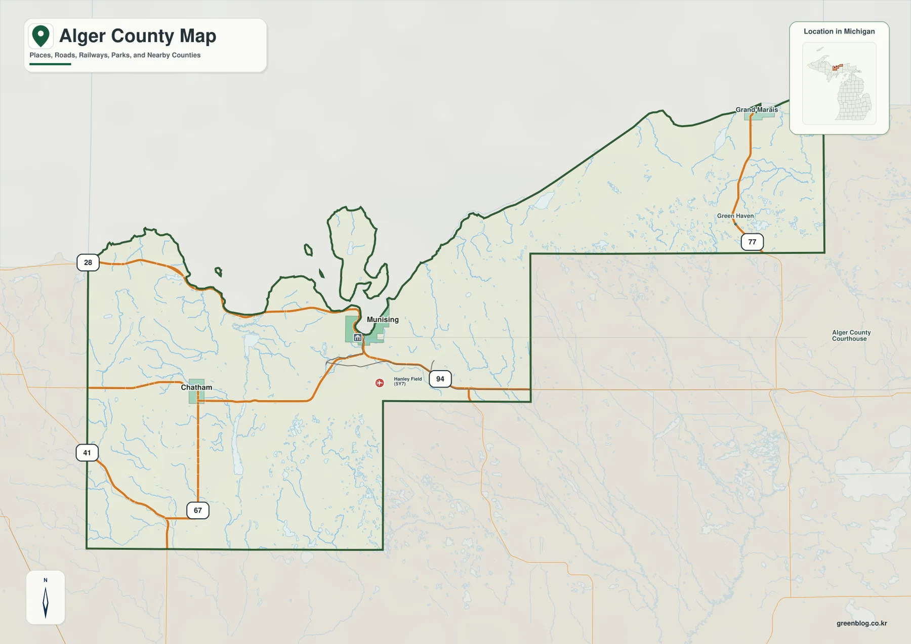
Alger County occupies a long stretch of Michigan’s Upper Peninsula along Lake Superior. Munising sits near the western half of
Munising to Grand Marais on an Alger County Map: Roads, Lakes, Rivers, and Relief Read More »
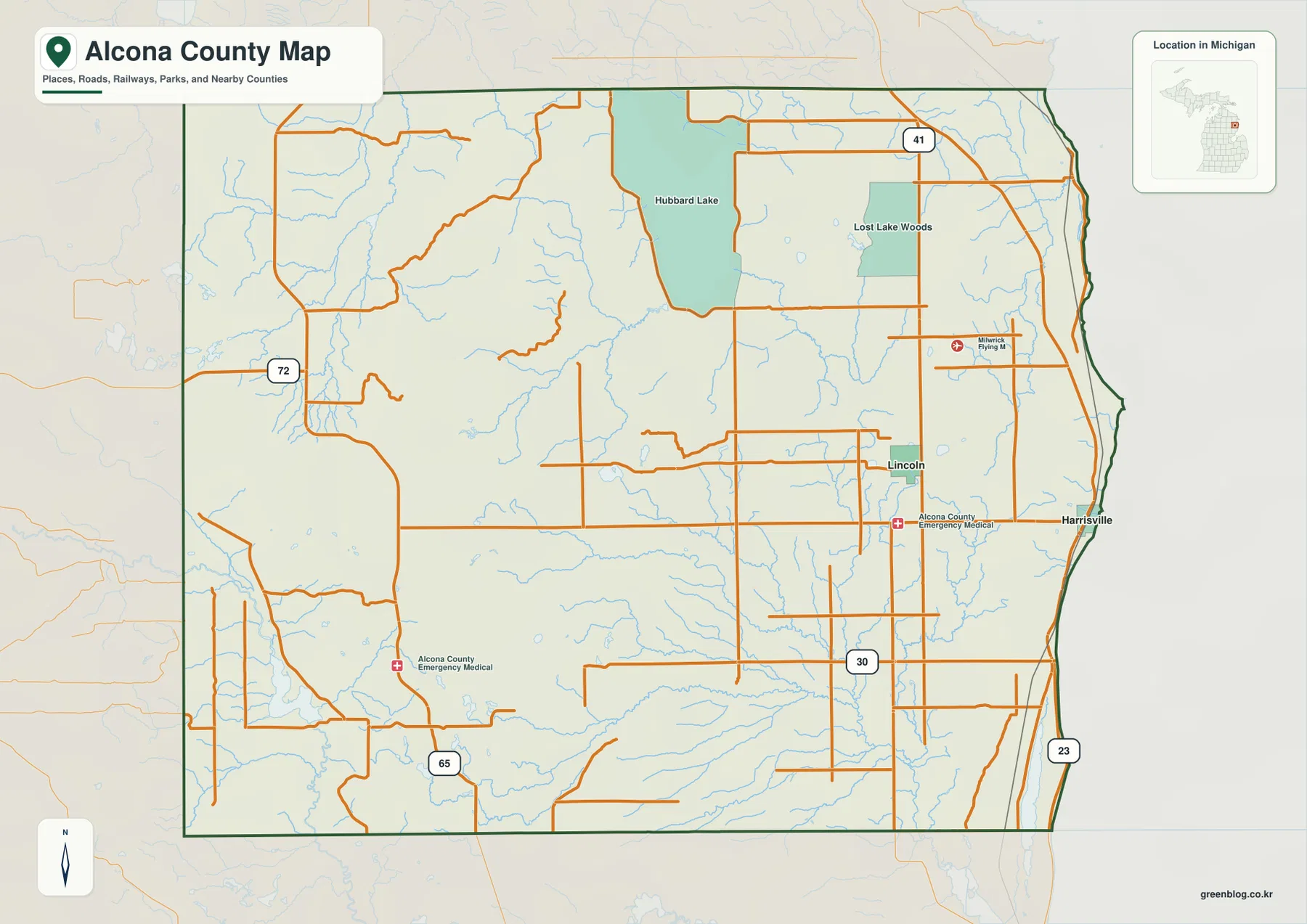
Alcona County lies on the Lake Huron side of Michigan’s Lower Peninsula, where a long Great Lakes shoreline meets a
Michigan’s Alcona County Map for Harrisville, US-23, Hubbard Lake, and Western Hills Read More »
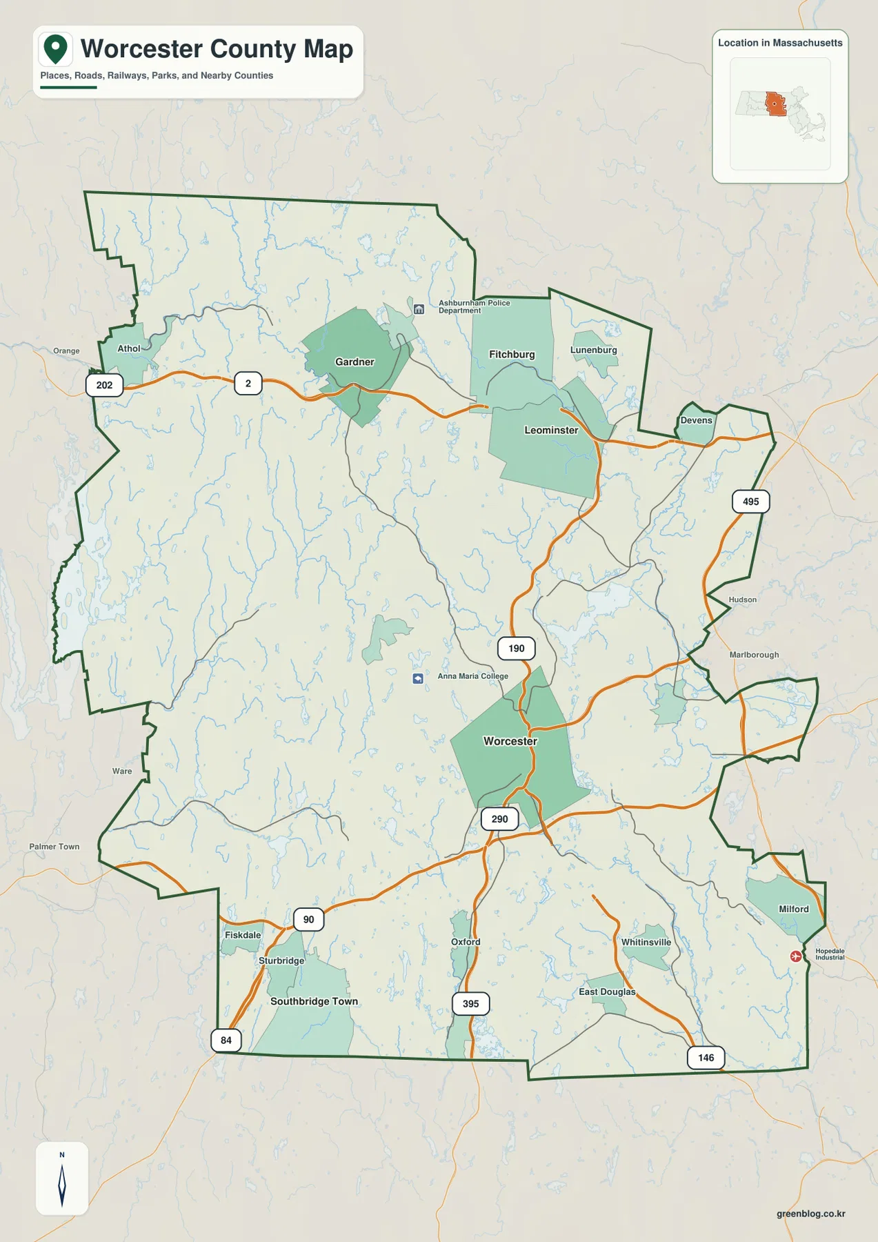
Worcester County occupies a broad interior section of central Massachusetts, stretching well beyond the city of Worcester to northern centers