
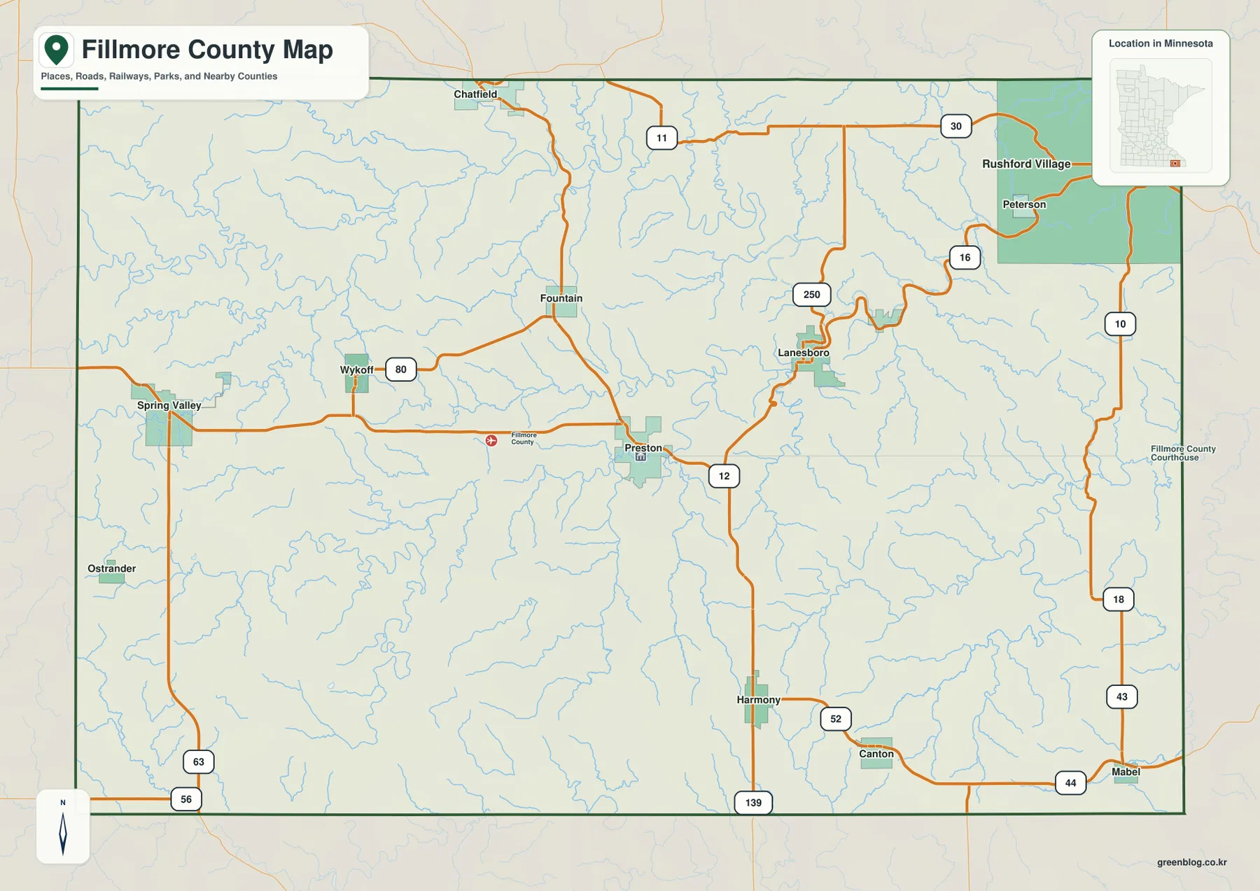
Preston, Root River Valleys, and the High Western Ground on a Fillmore County Minnesota Map
Fillmore County occupies a distinctive part of southeastern Minnesota where towns, roads, and river valleys fit together in very different
Fillmore County occupies a distinctive part of southeastern Minnesota where towns, roads, and river valleys fit together in very different
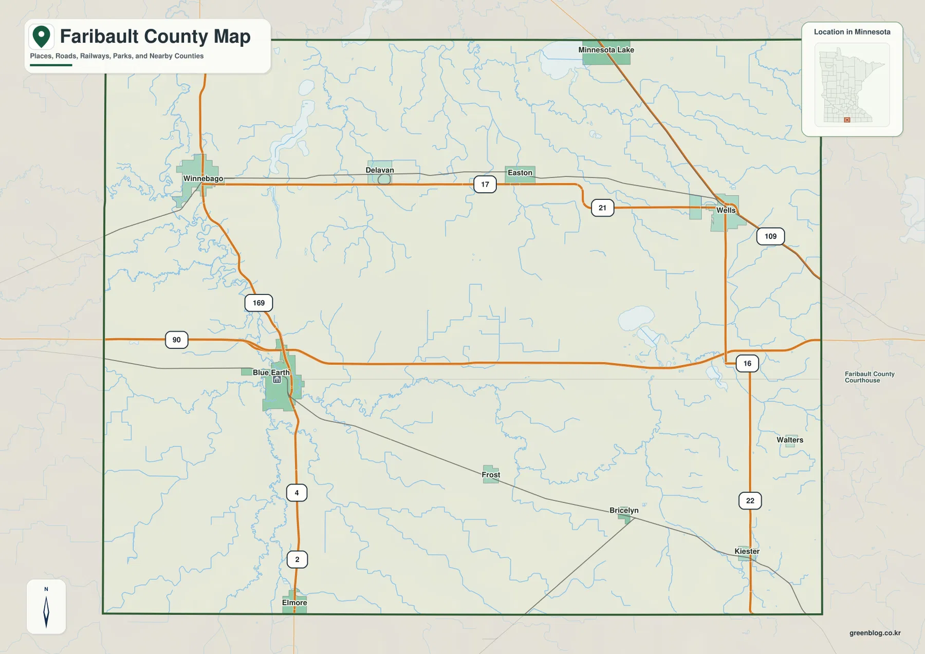
Faribault County lies along Minnesota’s southern border with Iowa, with Blue Earth serving as the main western-center reference point and
Faribault County Map from the Blue Earth River Lowlands to the Southeast Uplands Read More »
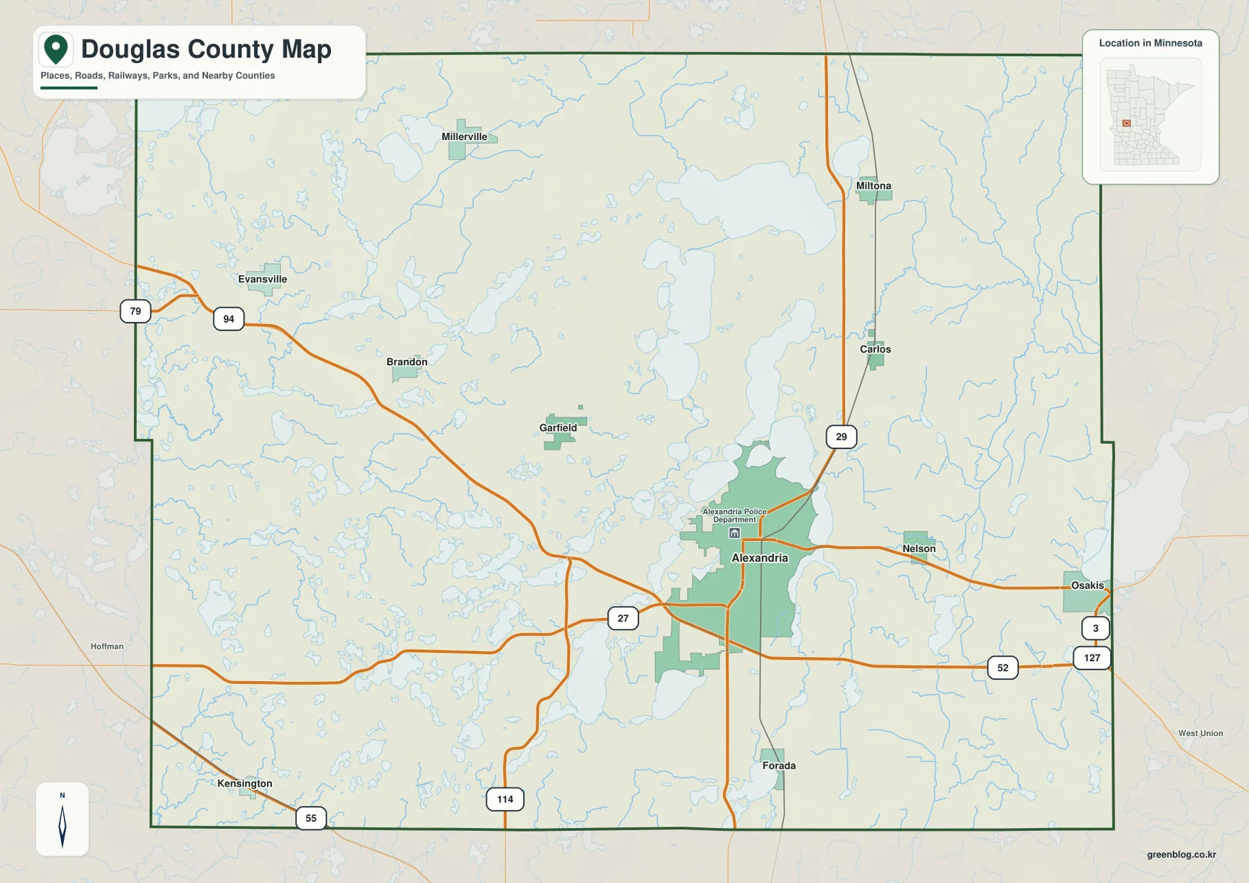
Alexandria is the most useful starting point for reading Douglas County. The city occupies a broad area in the south-central
Alexandria and the Chain of Lakes on a Douglas County Minnesota Map Read More »
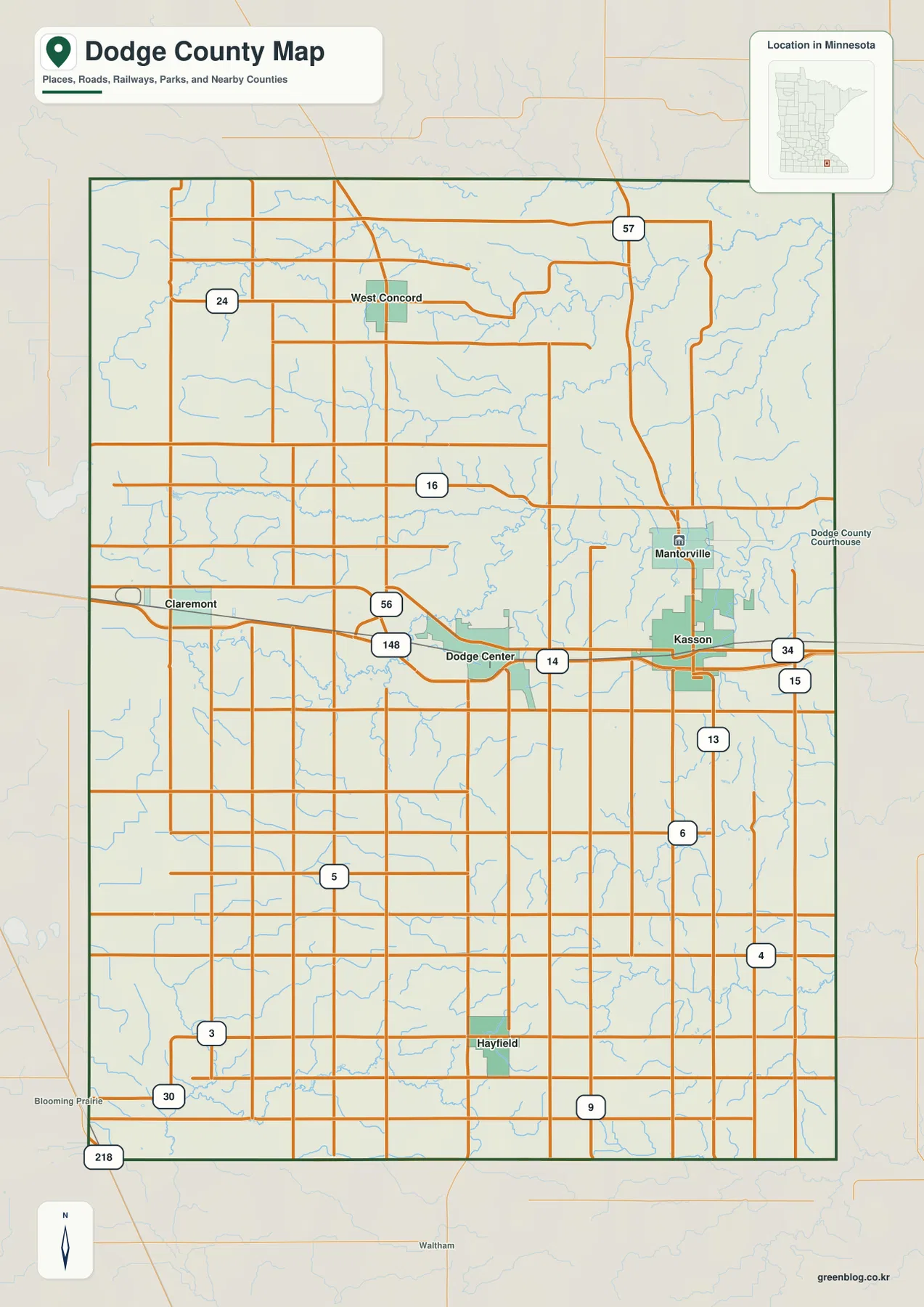
Dodge County is an inland county in southeastern Minnesota where the central communities of Dodge Center and Kasson provide an
Kasson to Hayfield: Dodge County Minnesota Map of Rivers and Relief Read More »
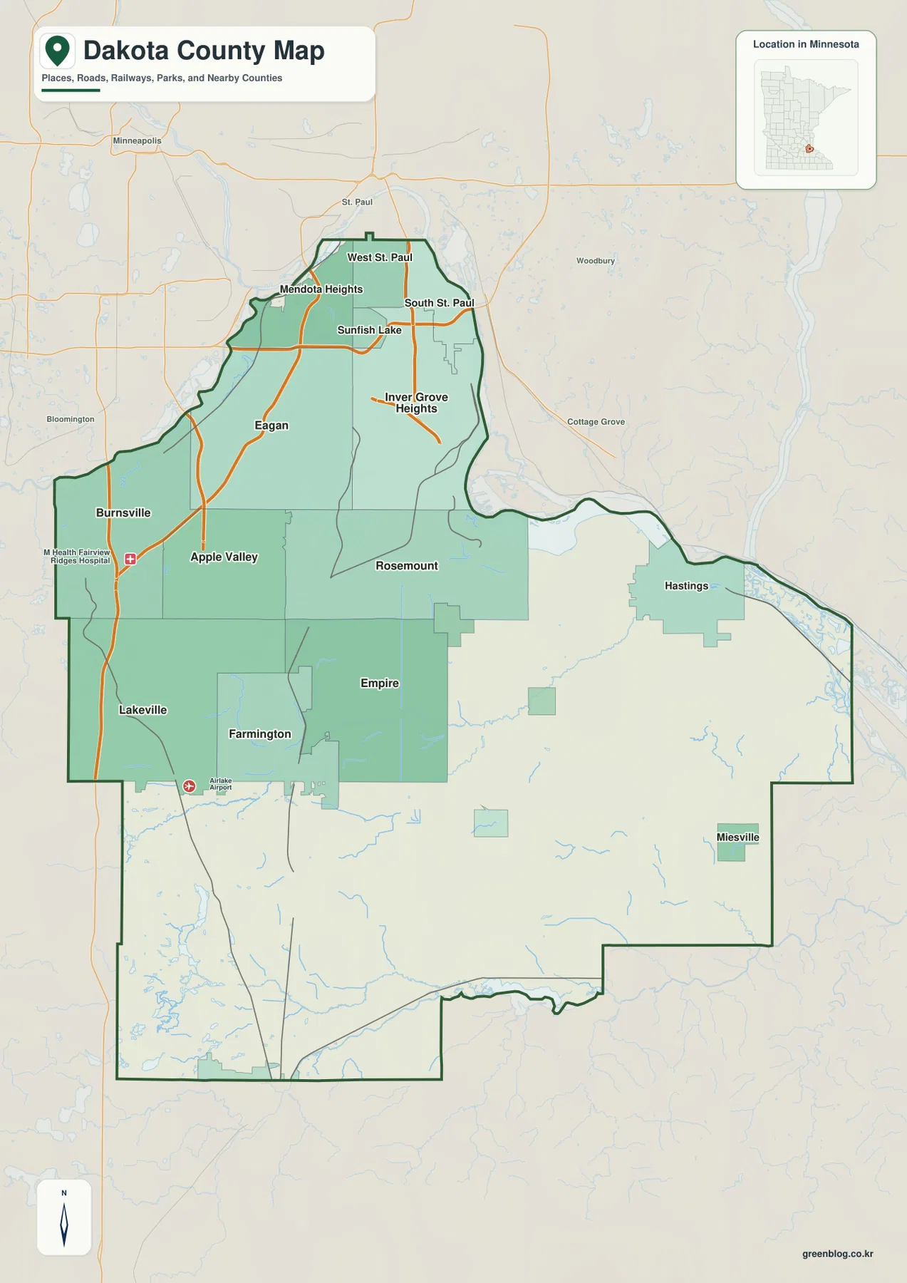
Dakota County stretches south and southeast from the Twin Cities, beginning with a narrow northern section near Mendota Heights, West
Dakota County Minnesota Map from Twin Cities Suburbs to the Vermillion River Read More »
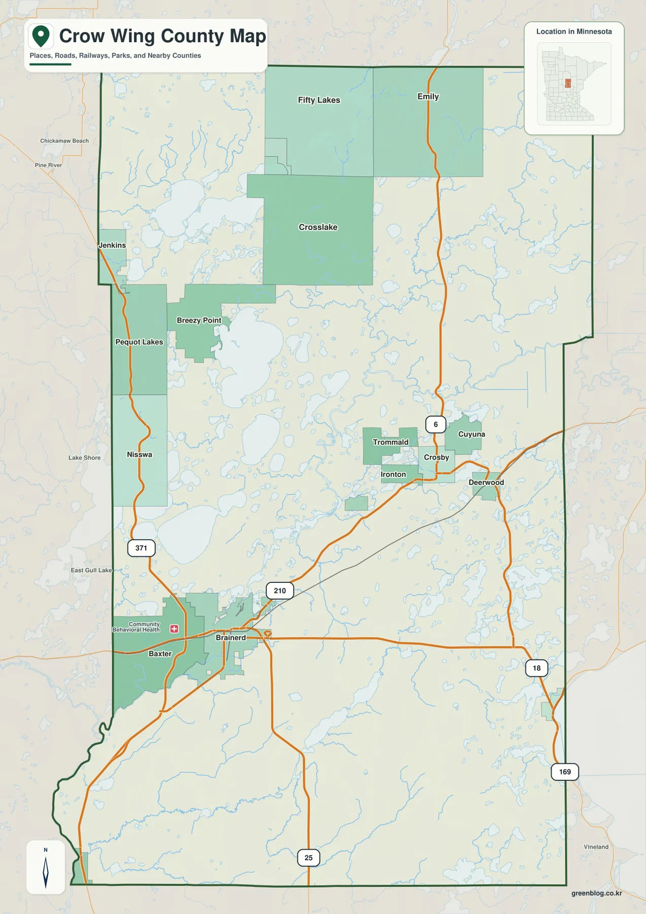
Crow Wing County sits in Minnesota’s north-central lake country, with Brainerd and Baxter forming the clearest urban center in the
Roads from Brainerd into the Lake Country on a Crow Wing County Map Read More »
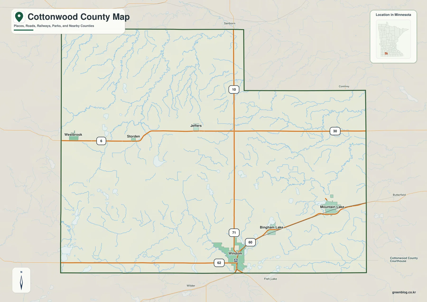
Cottonwood County lies in southwestern Minnesota, where small cities are spread across a broad agricultural landscape rather than gathered into
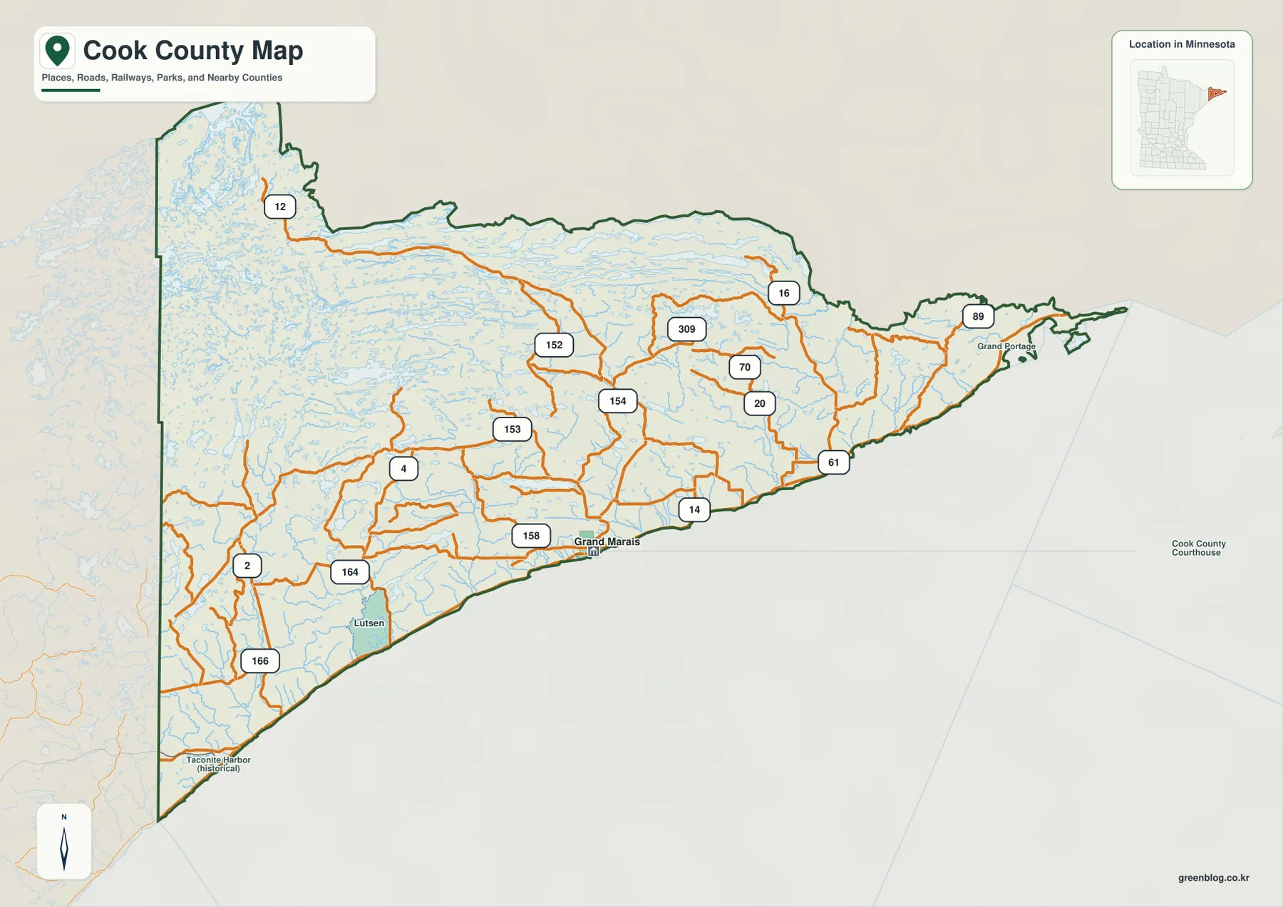
Cook County occupies the northeastern tip of Minnesota, where a long Lake Superior shoreline borders a large interior filled with
Cook County Minnesota Map: Highway 61, Lake Superior Lakeshore and Grand Marais Read More »
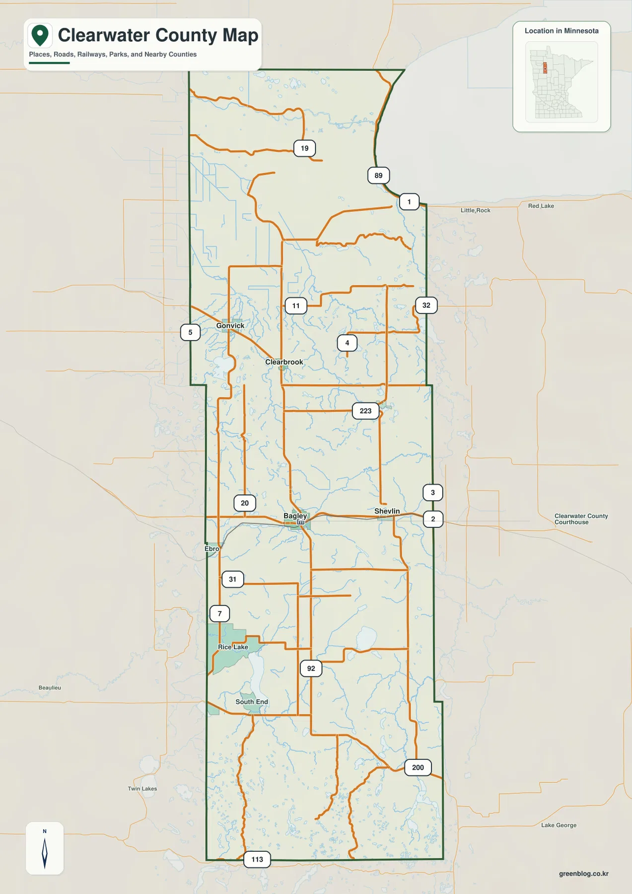
Clearwater County stretches north to south across northwestern Minnesota, with a shape that becomes noticeably narrower toward its southern end.