
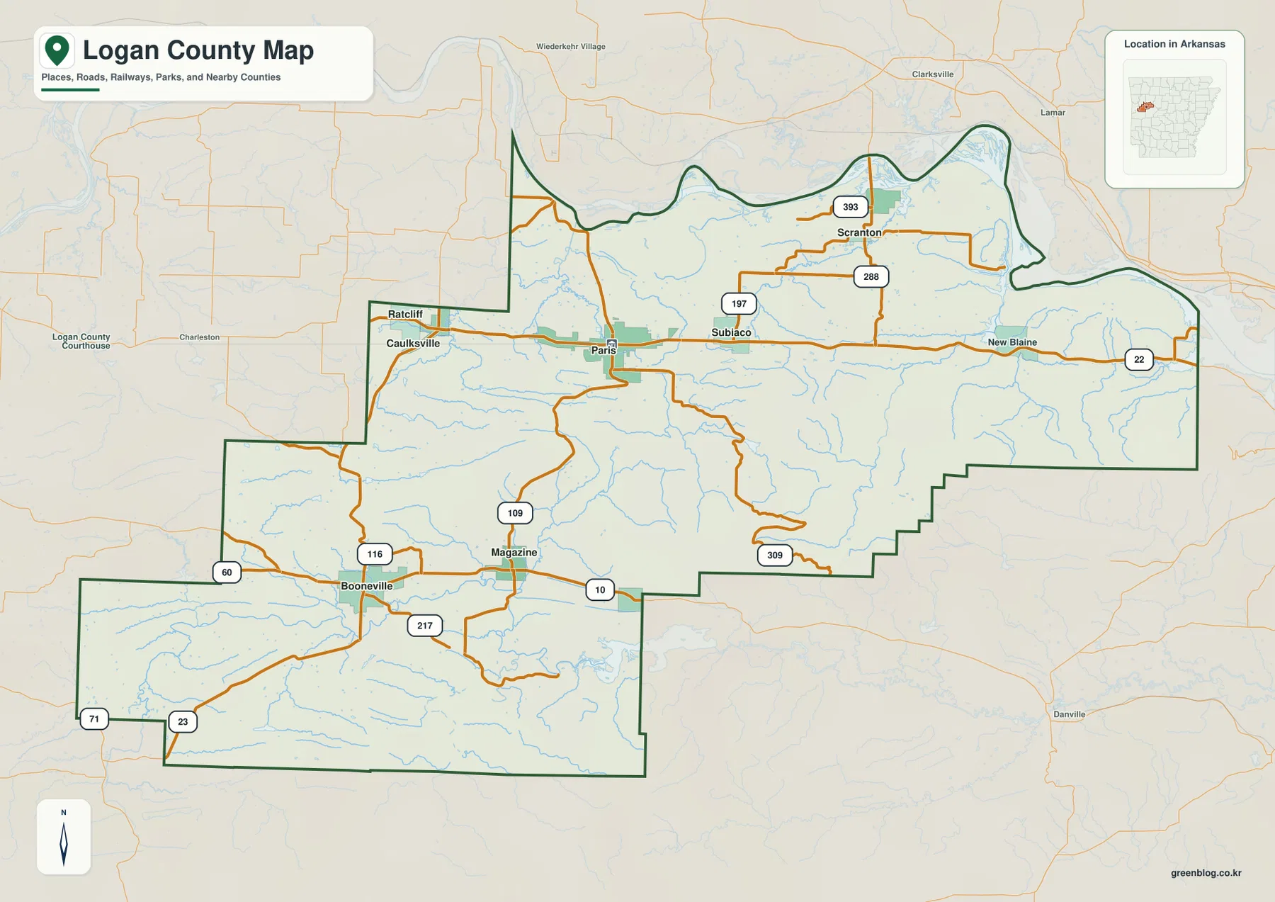
Logan County Arkansas Map – From the Arkansas River to Mount Magazine via Paris and Booneville
Logan County in western Arkansas stretches from the Arkansas River on the north to high mountain terrain in the south,
Logan County in western Arkansas stretches from the Arkansas River on the north to high mountain terrain in the south,
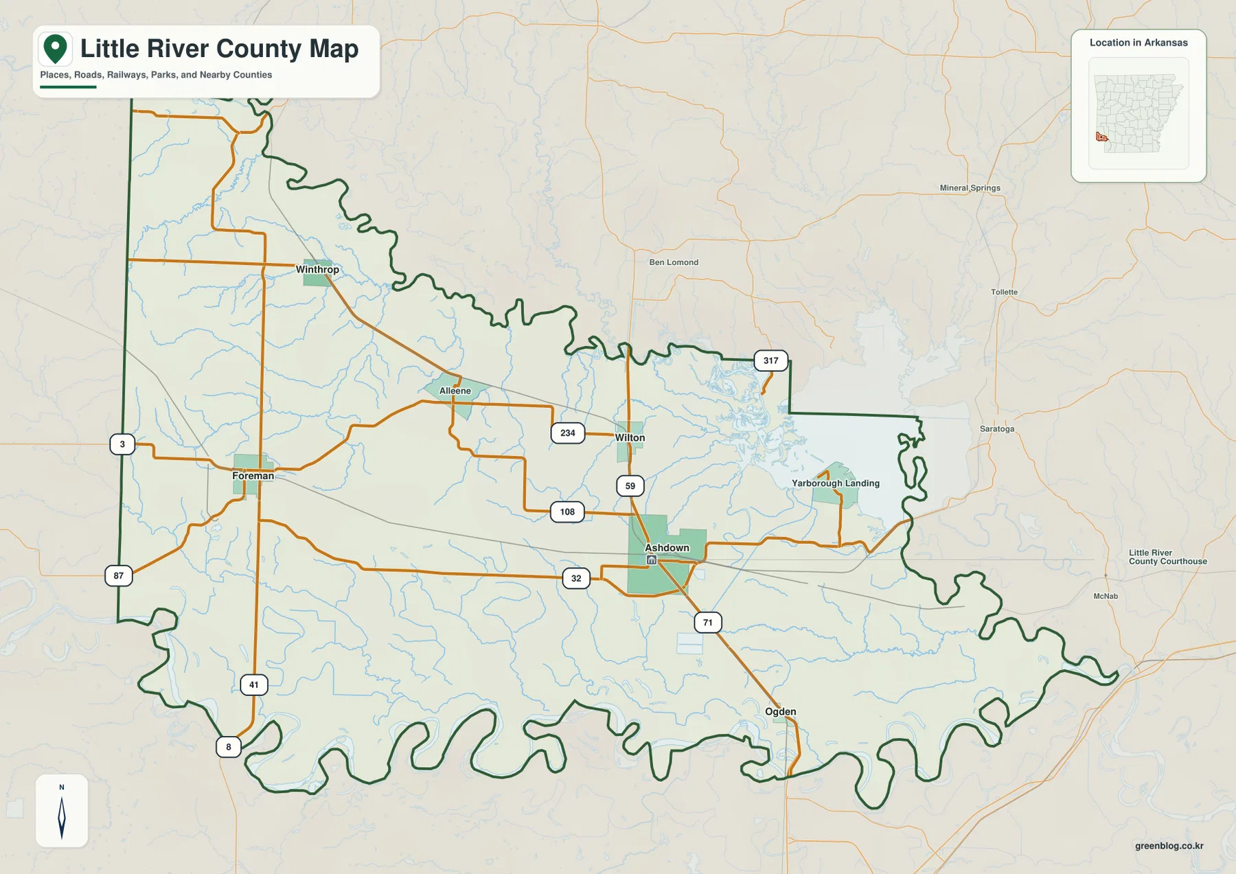
Little River County in far southwestern Arkansas is centered on Ashdown, with Foreman and Winthrop spread across the western half
Little River County Map – Ashdown, Millwood Lake, and River-Shaped Borders in Arkansas Read More »
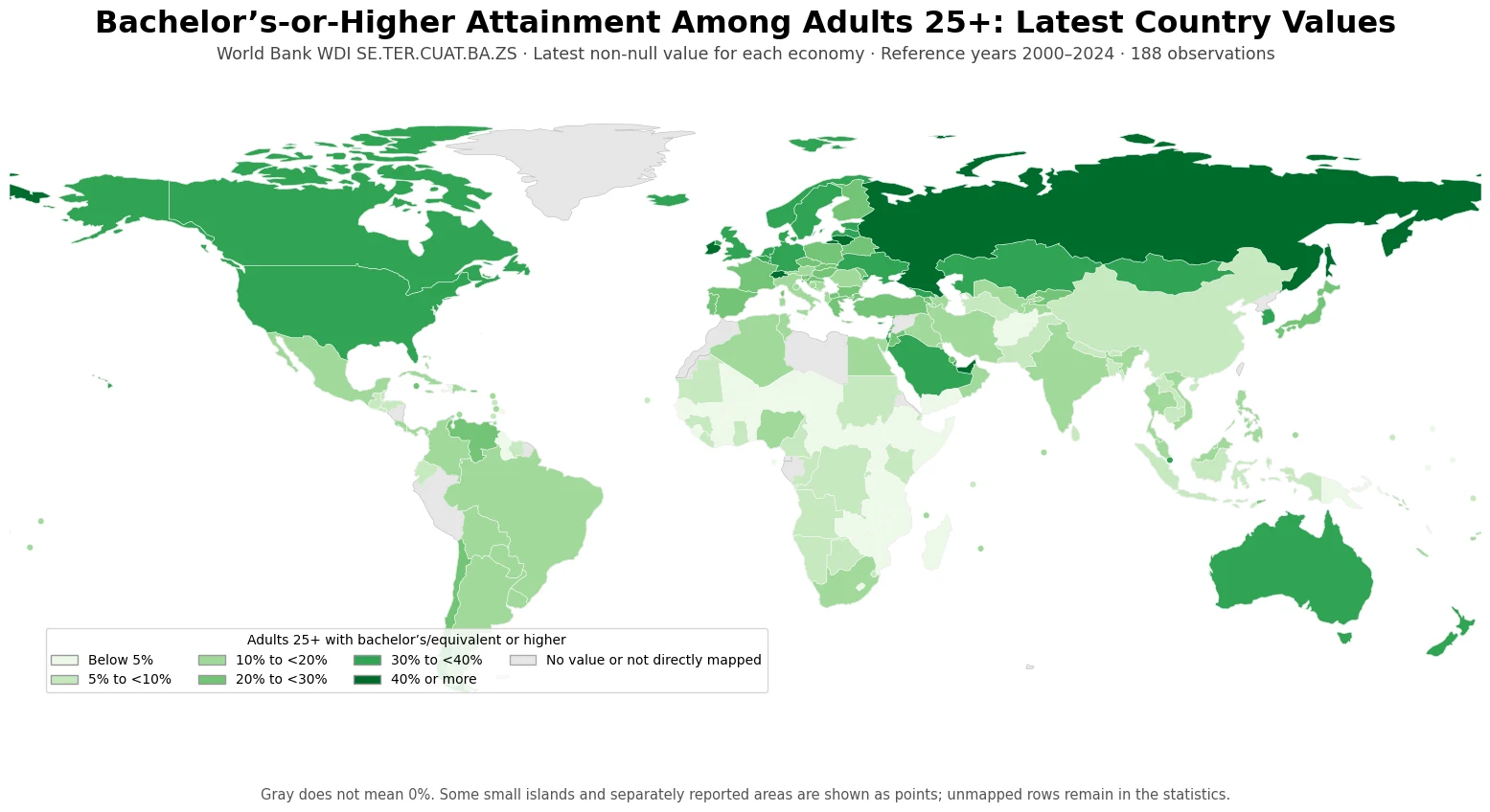
What share of adults have reached at least the bachelor’s level of education? The answer varies widely across countries. This
Bachelor’s-or-Higher Attainment Map by Country | Latest Adult 25+ Data Read More »
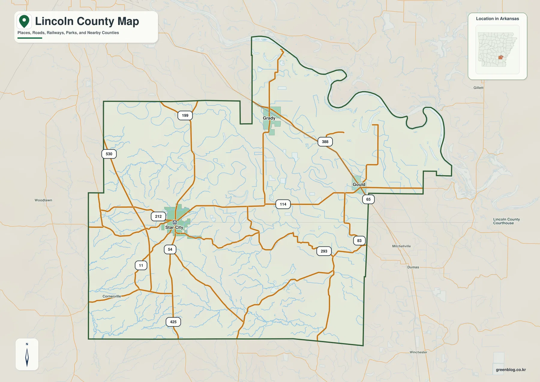
Lincoln County in southeastern Arkansas changes noticeably from rolling Coastal Plain terrain west of Star City to broad, low Delta
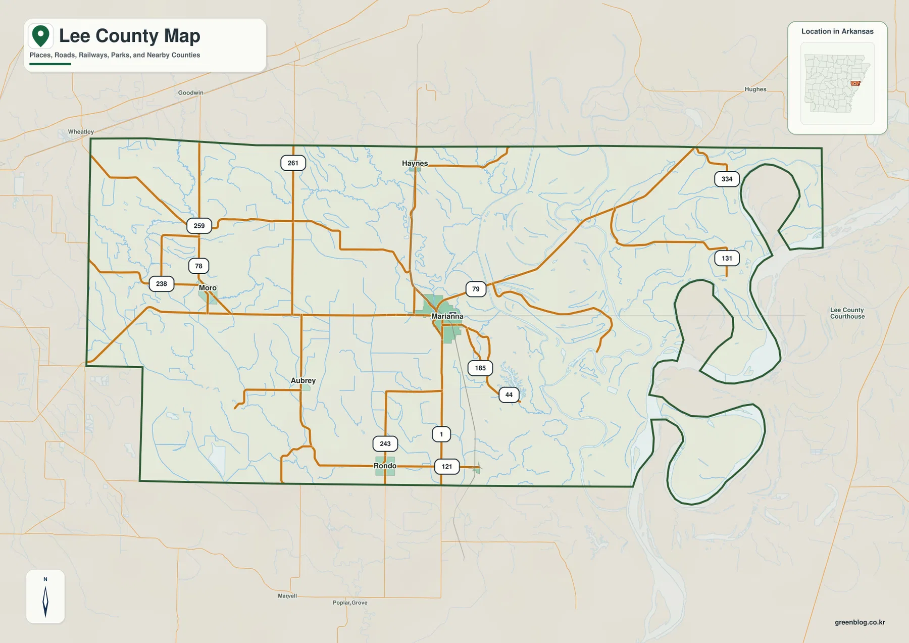
Lee County in eastern Arkansas is a low Delta county centered on Marianna, with the Mississippi River forming large bends
Lee County Arkansas Map – Marianna, L’Anguille River, and Mississippi River Lowlands Read More »
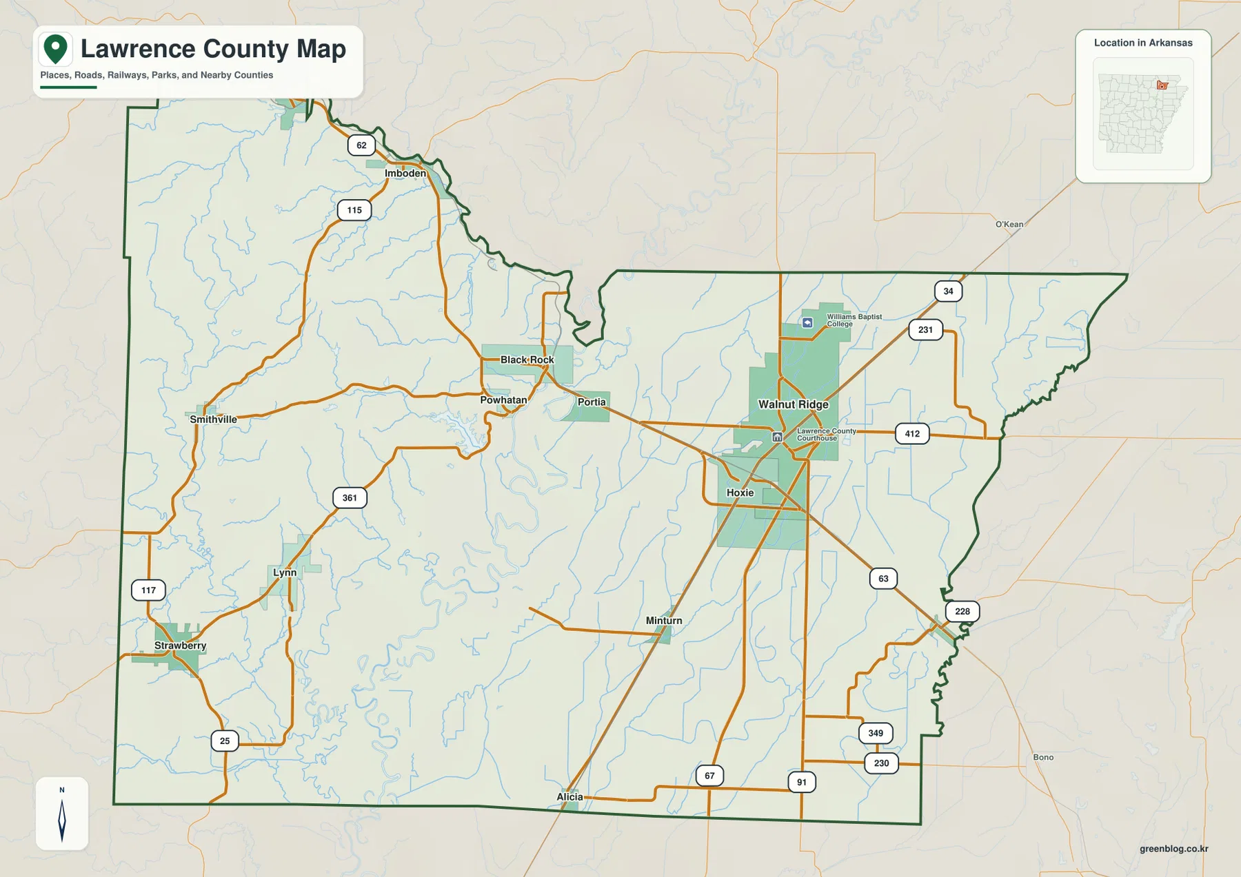
Lawrence County in northeastern Arkansas sits across one of the state’s clearest terrain transitions. The western side rises into short
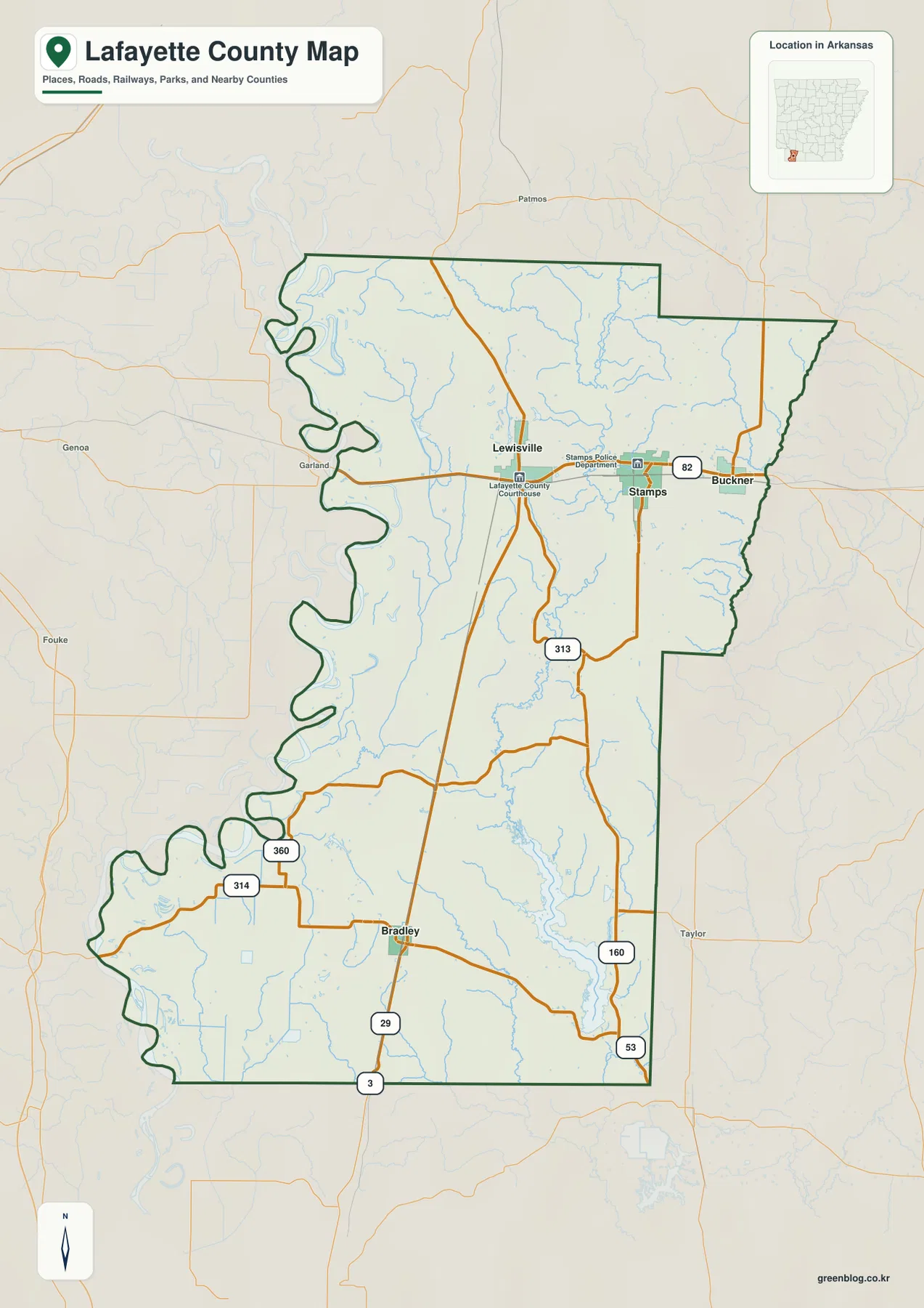
Lafayette County in southwestern Arkansas is easy to recognize by its long north-south shape, the large bends of the Red
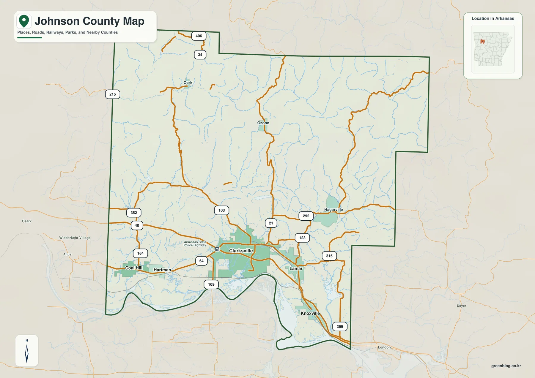
Johnson County in northwestern Arkansas changes dramatically from the low Arkansas River Valley around Clarksville to the high Boston Mountains
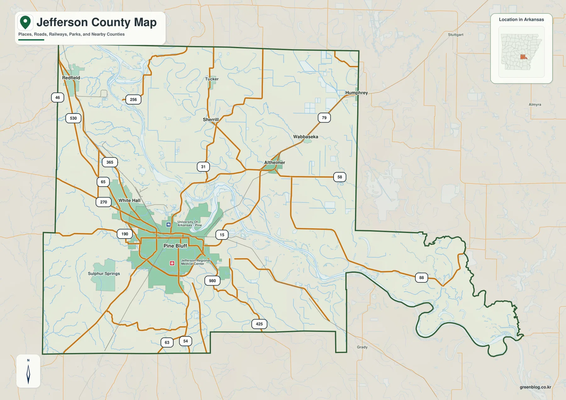
Jefferson County in south-central Arkansas is shaped by a sharp contrast between the Pine Bluff–White Hall side of the county
Jefferson County Arkansas Map – Pine Bluff, Arkansas River Bends, and Eastern Lowlands Read More »