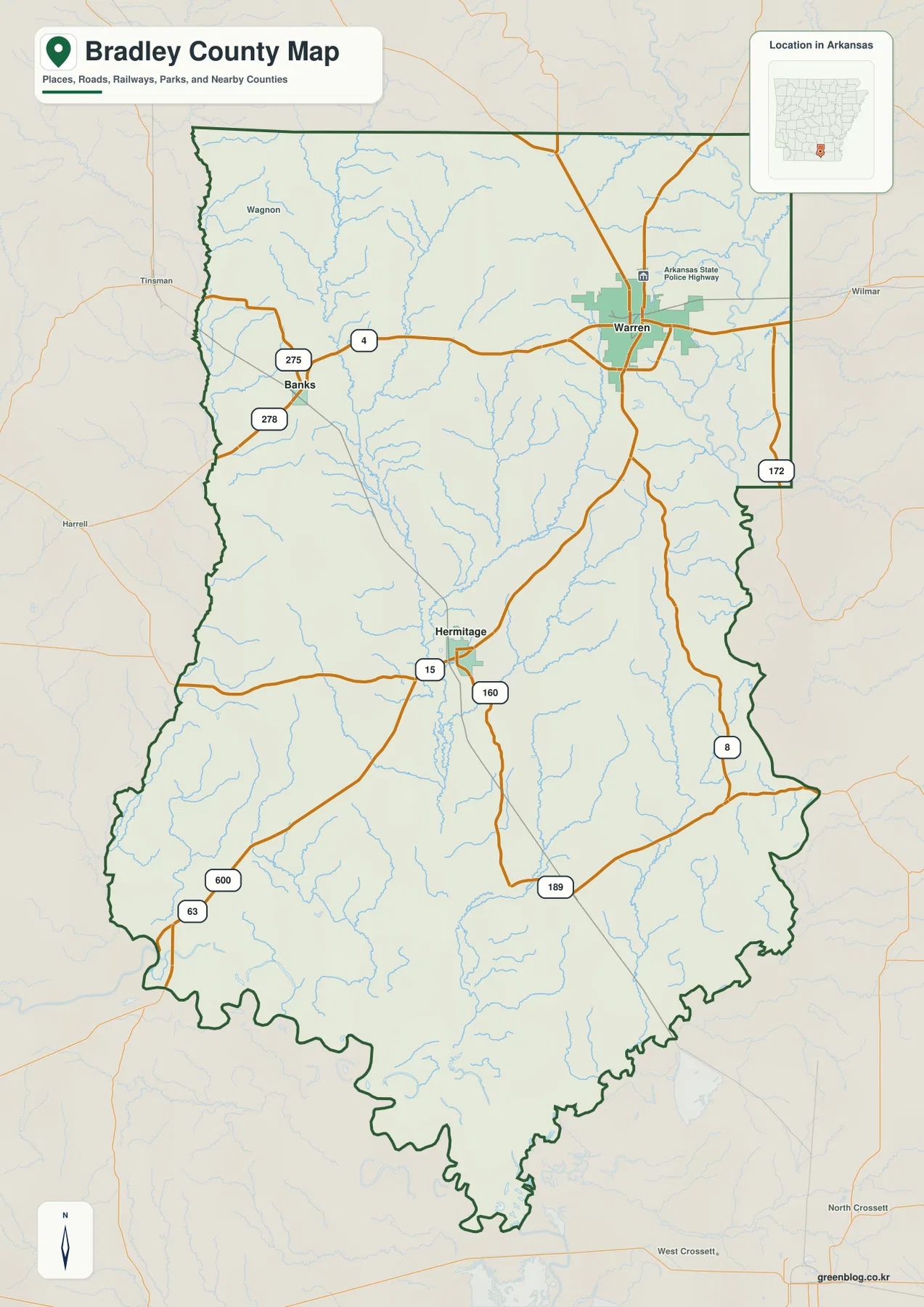
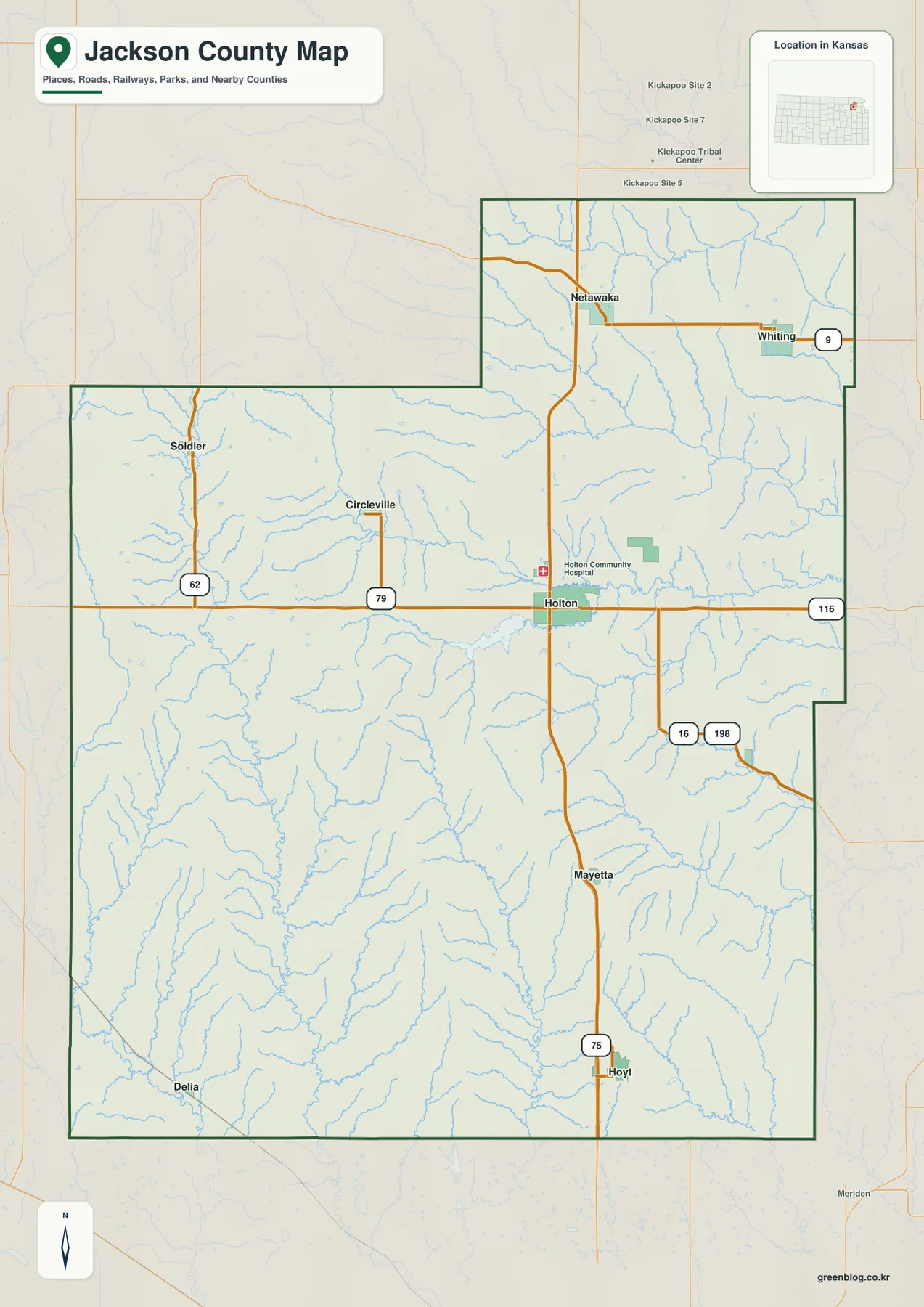
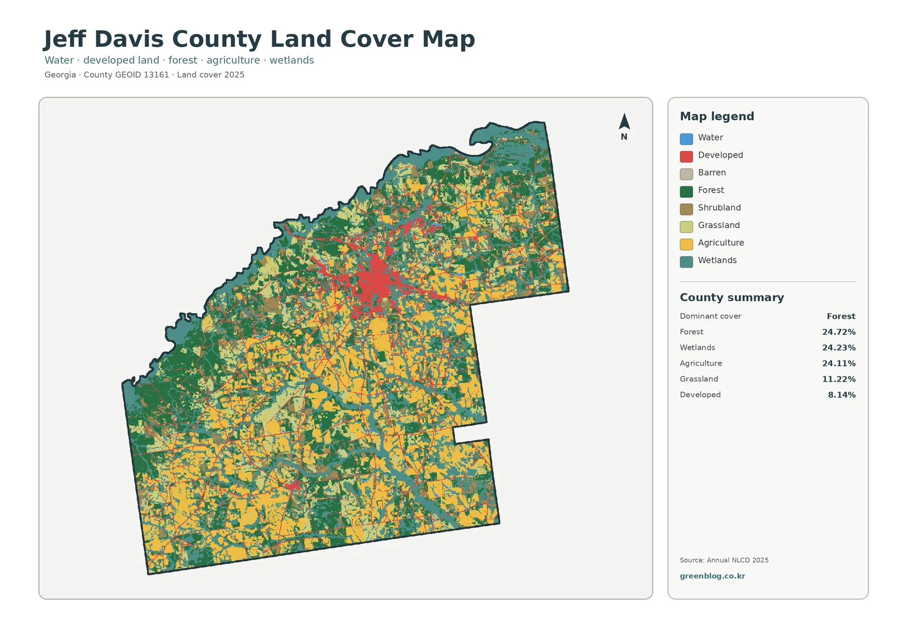
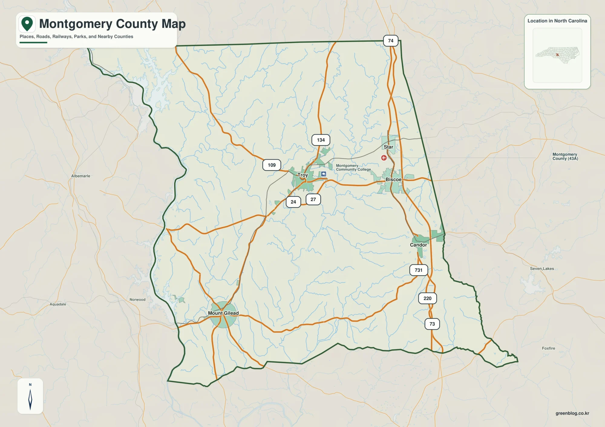
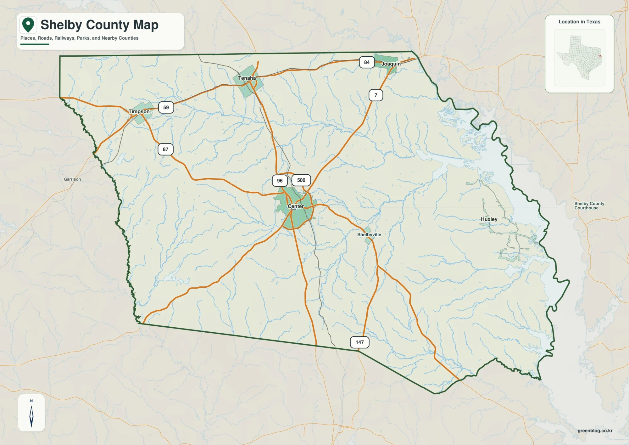
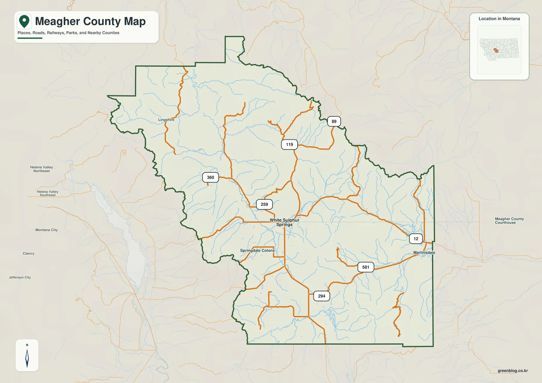
Nemaha County sits in southeastern Nebraska, with a long eastern edge shaped by the Missouri River and Auburn near the middle of the county. This Nemaha County Nebraska Map set brings together the county boundary, principal communities and roads, the Little Nemaha River and smaller creeks, and the strong elevation change from the western uplands toward the Missouri River lowlands. The maps shown on the page are reduced WebP previews for quick viewing; the download box below provides the same four maps as high-resolution JPG files in one ZIP archive.
Auburn is the easiest place to use as an anchor when learning the county. The official Nemaha County website identifies Auburn as the county seat, and the county overview places it where U.S. 75 runs north–south and U.S. 136 crosses east–west. Peru lies to the northeast near the Missouri River, Brownville is farther south along the river corridor, and the village of Nemaha appears still farther south. Johnson and Brock provide reference points for the western half, while Julian is marked near the northern boundary.
Table of Contents
Roads radiating from Auburn toward the Missouri River communities
The county overview is the best place to begin because it shows settlements, highways, drainage lines, the county boundary, and nearby features on one sheet. U.S. 75 passes through Auburn as the main north–south route, while U.S. 136 crosses the county from west to east and continues toward Brownville. Nebraska 67 is labeled near Nemaha in the southeast, and routes 62 and 105 appear in the southwestern part of the map. Taken together, these roads show a county organized around a central road junction at Auburn but connected to several smaller communities in very different directions.
The eastern county line is especially distinctive. Instead of following a straight survey line, it bends with the Missouri River and forms several broad curves. A protruding section in the northeast can look unusual at first glance. The county’s official background page explains that Nemaha County includes McKissick Island, an area whose geography is tied to changes in the Missouri River channel. That makes the eastern boundary more than a decorative outline; it is an important part of understanding why the county has its present shape.
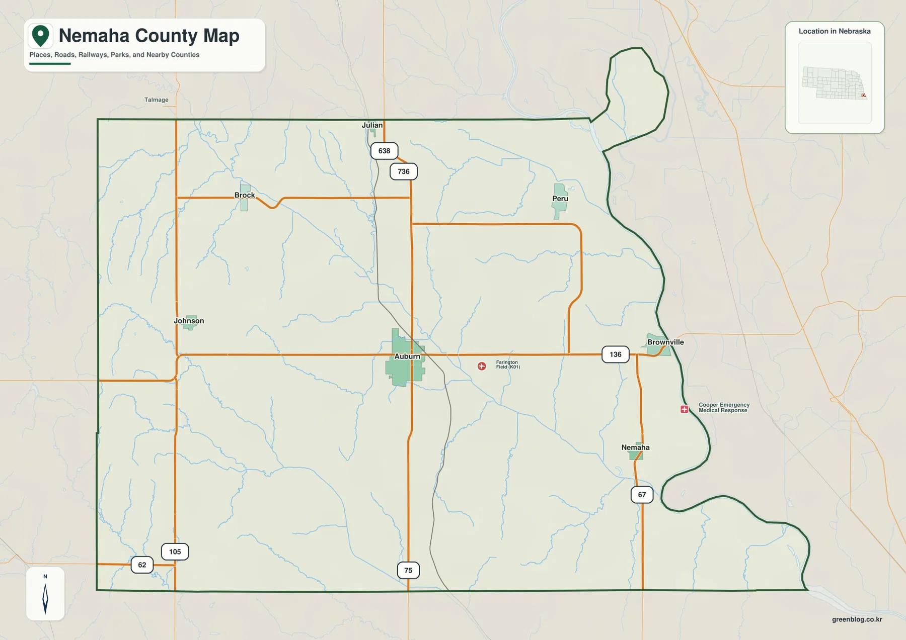
Western Nemaha County has a different appearance from the river side. Johnson lies west of Auburn, Brock is farther north, and the spacing between communities is wider. Numerous small drainage lines cross the rural landscape, but there are fewer places clustered along one obvious corridor. On the east, Peru, Brownville, and Nemaha create a loose north–south sequence near the Missouri River. Comparing the two sides of the map makes it clear that settlement is divided between an inland road hub and several river-oriented communities rather than concentrated along a single line.
The overview also includes local reference features such as Fairmont Field (K01) and an emergency medical response marker. Those labels can help with orientation, but the map is not a live traffic, aviation, emergency-response, or parcel product. Road conditions and closures can change, and legal boundaries require authoritative records. For trip planning, property work, or emergency decisions, pair this general map with current information from the appropriate state, county, or specialized agency.
Auburn, Peru, Johnson, Brock, Brownville, and Nemaha on the city index
The city-index map removes much of the road detail and emphasizes the relative positions of six communities. Auburn is ranked first in the index, followed by Peru, Johnson, Brock, Brownville, and Nemaha. The numeric values shown in the index are useful as a quick comparison of settlement size, but the main purpose of this page is geographic orientation rather than presenting a current population table. The strongest pattern is spatial: Auburn is central, Peru is northeast, Brownville and Nemaha sit near the eastern river corridor, and Johnson and Brock represent the western and northwestern parts of the county.
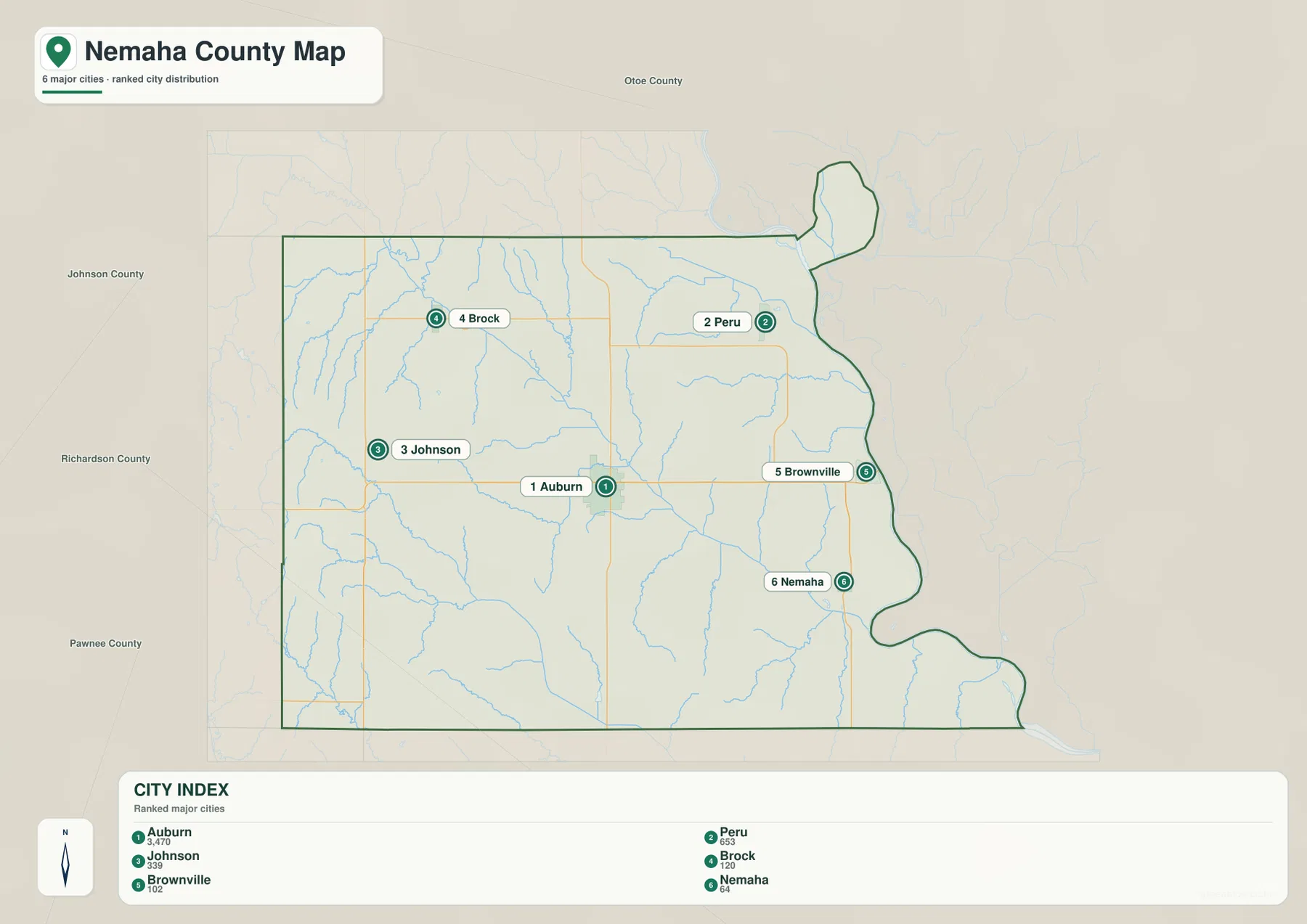
Peru occupies a northeastern setting close to the Missouri River, while Brownville is reached along the eastward U.S. 136 corridor and Nemaha lies farther south. Johnson and Brock are inland communities where the surrounding map is dominated more by rural roads and small streams than by the large river. This east–west contrast is useful when explaining the county to someone who has never visited it: Auburn is the central reference, the Missouri River communities define the east, and Johnson and Brock help locate the higher western country.
The official county site lists Auburn, Brock, Brownville, Johnson, Julian, Nemaha, and Peru among its cities and villages. Julian is visible on the full county overview but does not appear in the six-place city index. That difference is intentional rather than a contradiction. The index simplifies the settlement pattern, while the overview keeps additional place labels and transportation detail. Using both maps prevents a common problem with simplified city diagrams: mistaking a selected list of places for a complete list of every named community.
The pattern also has historical meaning. History Nebraska notes that Brownville was an early Missouri River port and the original county seat before the seat eventually moved to Auburn. On the modern map, Brownville still occupies a river-edge location, while Auburn is positioned at an inland highway crossroads. Those two settings illustrate how an early river-centered settlement pattern and a later road-centered administrative pattern can exist in the same county.
Little Nemaha River cutting diagonally toward the Missouri
The terrain-and-water map makes the drainage pattern much easier to see. The Missouri River forms the dominant eastern waterway, while the Little Nemaha River runs diagonally across the county from the northwest toward the southeast. Smaller creeks descend from the surrounding uplands and feed a network of narrow valleys. Around Auburn, several drainage lines converge before continuing eastward, so the town’s central road position also sits within an important river-valley system.
In the northwest, Jones Creek and East Branch Jones Creek are labeled near the upper drainage network, with Plum Creek nearby. Rock Creek descends through the north-central area toward the Little Nemaha system. Farther east, Honey Creek and Buck Creek head toward the Missouri River side. South of Auburn, Longs Creek, Middle Creek, Hughes Creek, Indian Creek, and Jarvis Creek occupy separate valleys. The number of named tributaries helps explain why the shaded terrain is so textured: this is not one featureless plain but a landscape repeatedly cut by small stream valleys.
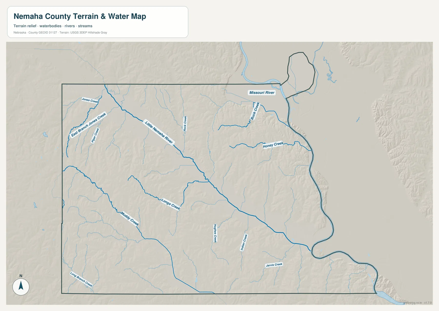
The eastern river corridor is lower and broader, while the western creeks occupy narrower, more deeply cut valleys. The Little Nemaha River acts as a visual link between those two parts of the county. If you first locate Auburn and Brownville on the county overview and then switch to this water map, the relationship between transportation and terrain becomes clearer. U.S. 136 follows a relatively accessible east–west corridor, while the smaller western roads cross a more dissected landscape of ridges and drainage channels.
This water-reference image is intended to show the position of rivers and streams in relation to the county terrain. It does not show flood zones, channel depth, water quality, boating conditions, legal access, or parcel ownership. The Missouri River and smaller tributaries can change with weather and seasonal flow. Flood, navigation, and water-resource questions should therefore be checked against current information from the USGS and the responsible local or state agencies.
Higher western hills dropping toward the Missouri River lowlands
The elevation map turns the county’s east–west contrast into a strong color pattern. Browns and tans cover much of the west and southwest, indicating higher ground, while greens occupy the Little Nemaha River corridor and expand across the low eastern edge beside the Missouri. The legend uses locally scaled bands from roughly 270 to 381 meters, and the map notes an actual range of about 264 to 399 meters with a mean near 322 meters. The broad pattern is more important than any single value: the county generally descends from higher western terrain toward the river.
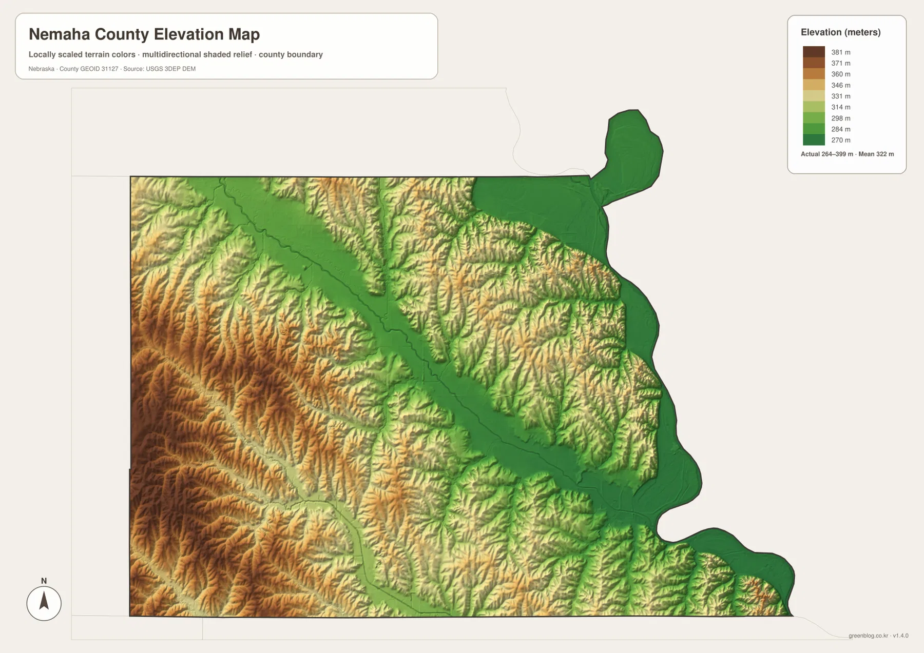
The higher west is not a smooth plateau. Numerous narrow valleys cut into it, creating a dense pattern of ridges and drainage lines. The Little Nemaha River forms a lower diagonal band through the middle of the county, and the broad Missouri River margin is lower still. Along the northeastern and eastern edges, the change from river lowland to rolling ground can occur over a relatively short distance. That steep visual transition is one reason the shaded-relief map is useful even when exact elevations are not required.
Settlement locations make more sense when they are compared with the elevation surface. Auburn is inland from the main Missouri floodplain but connected to the Little Nemaha valley. Peru, Brownville, and Nemaha are closer to the low eastern river corridor. Johnson and Brock sit farther west in higher rolling terrain. The differences are not dramatic mountain relief, yet they are large enough to shape drainage, road approaches, and the visual character of the landscape from one side of the county to the other.
This elevation image is a generalized county-scale surface. It is appropriate for comparing broad highs and lows, identifying valley corridors, or illustrating the relationship between towns and terrain. It is not survey-grade or engineering-grade information and should not be used to establish a parcel elevation, construction slope, drainage design, or property boundary. Precise work requires source elevation data such as the USGS 3D Elevation Program and, when necessary, field surveying.
Why McKissick Island makes the northeast boundary look unusual
One of the most county-specific details in this map set is the protruding shape near the northeastern Missouri River boundary. Nemaha County’s official background material identifies McKissick Island as part of the county and explains that its unusual geographic setting is associated with changes in the river’s course. Without that context, a viewer might assume the outline is a drawing error or an arbitrary extension. In fact, it is a useful example of how a moving river and a fixed administrative boundary can produce an unexpected map shape.
The feature also demonstrates why a present-day river channel and a legal county line should not automatically be treated as the same thing. Rivers can migrate, cut new channels, or abandon older bends, while political boundaries may remain tied to earlier legal definitions. For general orientation, the county map is enough to show the unusual outline. For jurisdiction, ownership, or legal questions, authoritative boundary records should always take precedence over a generalized web map.
For classroom or regional-study use, McKissick Island can be paired with the Missouri River label to explain the difference between physical geography and administrative geography. The county’s eastern edge is therefore not just a border to memorize. It provides a concrete example of how natural processes can leave a lasting signature on a modern political map.
Choosing the right Nemaha County map for the task
Use the county overview when you need the broadest orientation: county shape, Auburn, Peru, Brownville, Nemaha, Johnson, Brock, and the major numbered roads can all be seen together. The city-index map is better for quickly comparing where the principal communities sit relative to one another. The terrain-and-water map is the strongest choice for following the Little Nemaha River, the Missouri River, and named tributaries. The elevation map is clearest when the question is how the higher western uplands relate to the lower eastern valleys.
Auburn is a convenient common reference when moving among the four maps. Find the U.S. 75 and U.S. 136 junction on the county overview, then locate the nearby Little Nemaha drainage on the water map and compare the same area with the lower-color bands on the elevation map. Repeat the process with Brownville or Peru and the Missouri River becomes the dominant reference. Using one known community to align several maps is usually easier than trying to compare every symbol at once.
For printed material, select the map that supports the specific point you want to make. A road-and-boundary handout benefits from the county overview, a river lesson is clearer with the terrain-and-water map, and a discussion of western hills versus river lowlands is best supported by the elevation image. When several topics matter, two or three maps placed side by side are often more readable than attempting to combine every label into a single crowded graphic.
The downloadable archive contains the high-resolution JPG originals for the county overview, city index, terrain and water, and elevation. Each original is 3638×2572 pixels, substantially larger than the web preview. The files can be used for printing, classroom materials, presentations, personal reference, or regional comparison. Because each map emphasizes a different layer of information, choosing the most relevant image first will usually produce a cleaner and more useful final document.
Frequently Asked Questions
Why does the eastern county line bend so much along the Missouri River?
The eastern boundary follows a river-influenced landscape rather than a simple straight survey line. Nemaha County’s official background page notes that McKissick Island is part of the county and that the area reflects changes in the Missouri River channel. Because river courses can shift while administrative boundaries remain legally defined, the current water channel and county line do not always create a simple shape.
Which map is best for seeing both the Little Nemaha River and the Missouri River?
The terrain-and-water map is the best choice. It shows the Little Nemaha River crossing the county diagonally, the Missouri River along the eastern side, and many named tributaries such as Honey Creek, Buck Creek, Jones Creek, and Rock Creek. Compare it with the county overview when you also need highways and community locations.
Can the elevation map be used for surveying or construction design?
No. The elevation map is designed for county-scale comparison of higher western terrain and lower river valleys. It does not provide the precision needed for parcel corners, exact grades, building elevations, drainage design, or engineering work. Those uses require authoritative source elevation data and, where appropriate, a professional survey.
Map File Information
Download one ZIP containing the four high-resolution JPG maps shown on this page.
- Included Files: Use only the versions confirmed in the article and supplied images
- File Type: Use the confirmed download contents
- Intended Use: Printing, education, presentations, and map-based projects
Related Maps
Sources and references
County-seat information, the community list, the Missouri River boundary, and the McKissick Island background are supported by official Nemaha County material. Historical context for Brownville and Auburn comes from History Nebraska, while the national boundary, hydrography, and elevation links below provide authoritative geographic reference sources.
- Nemaha County official website – About Our County
- History Nebraska – Nemaha County archival record and historical note
- U.S. Census Bureau – TIGER/Line Shapefiles
- USGS – National Hydrography
- USGS – 3D Elevation Program
Green Map creates custom-edited map images using open geographic data sources such as geoBoundaries, Natural Earth, OpenStreetMap, and government open data. These maps are edited visual materials, not raw data files, and are provided for education, documents, presentations, and graphic reference.