Platte County occupies the northwestern side of the Kansas City metropolitan area, with Platte City near the center and Parkville, Riverside, Weatherby Lake, and Lake Waukomis clustered farther south. Weston sits near the Missouri River in the northwest, while Dearborn and Camden Point provide northern references. Interstate 29 and U.S. 71 form the main north-south corridor through the county, and the Missouri River wraps around much of the western and southern edge. High-resolution map files are available for download in the section below.
This page separates those features into a general county map, a city distribution map, a terrain-and-water map, and an elevation map. High-resolution JPG originals of all four can be downloaded together in one ZIP for closer viewing, A3 printing, classroom work, reports, or other large-format reference use.
Table of Contents
Platte City anchors the I-29 and U.S. 71 corridor
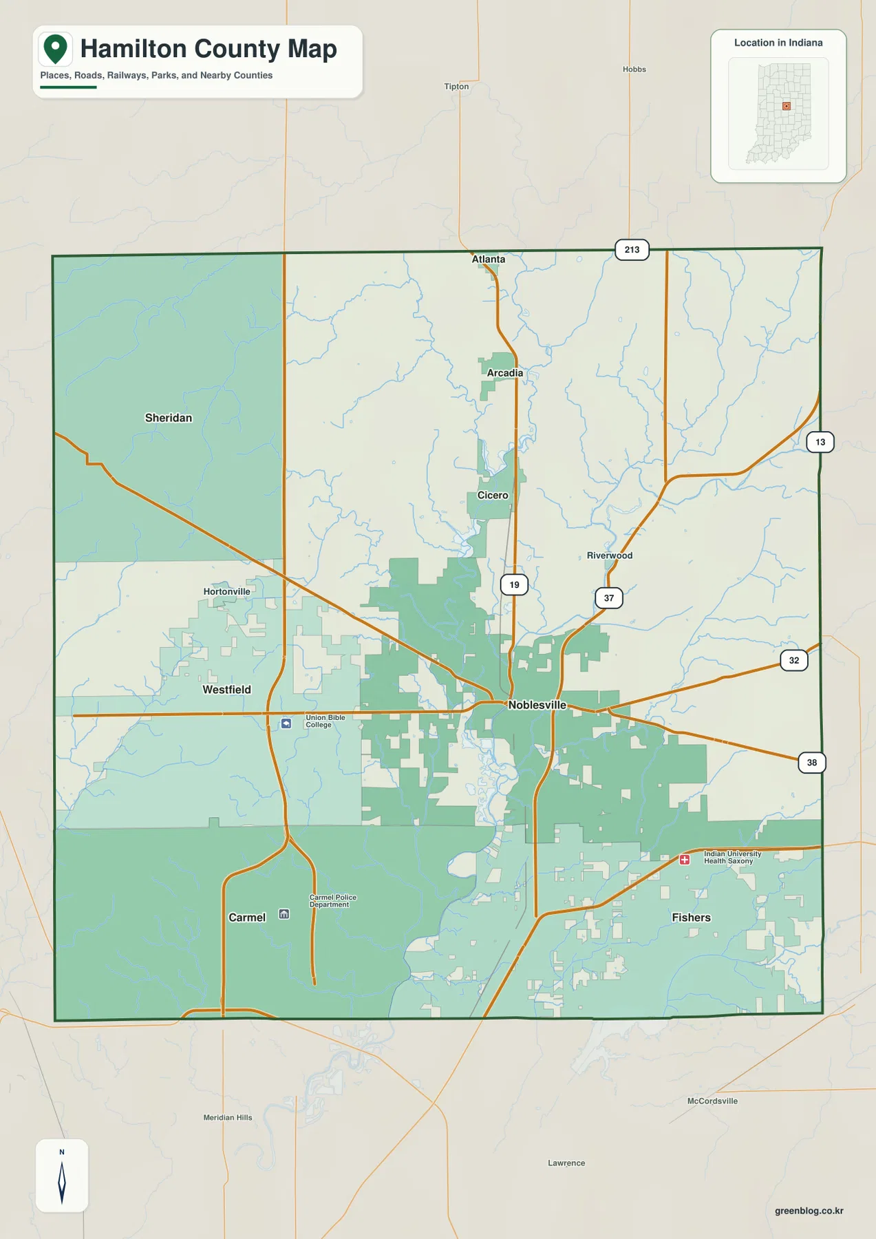
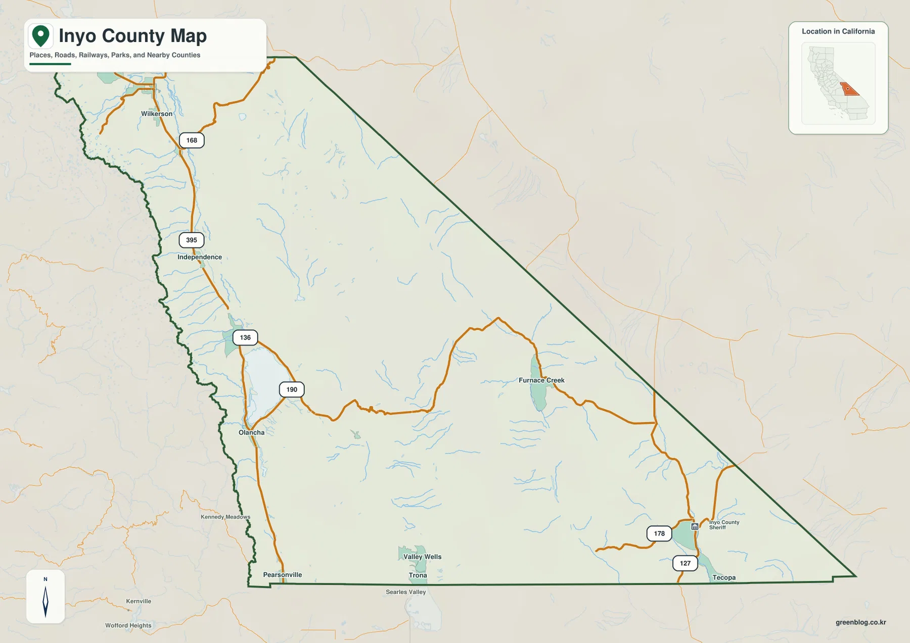
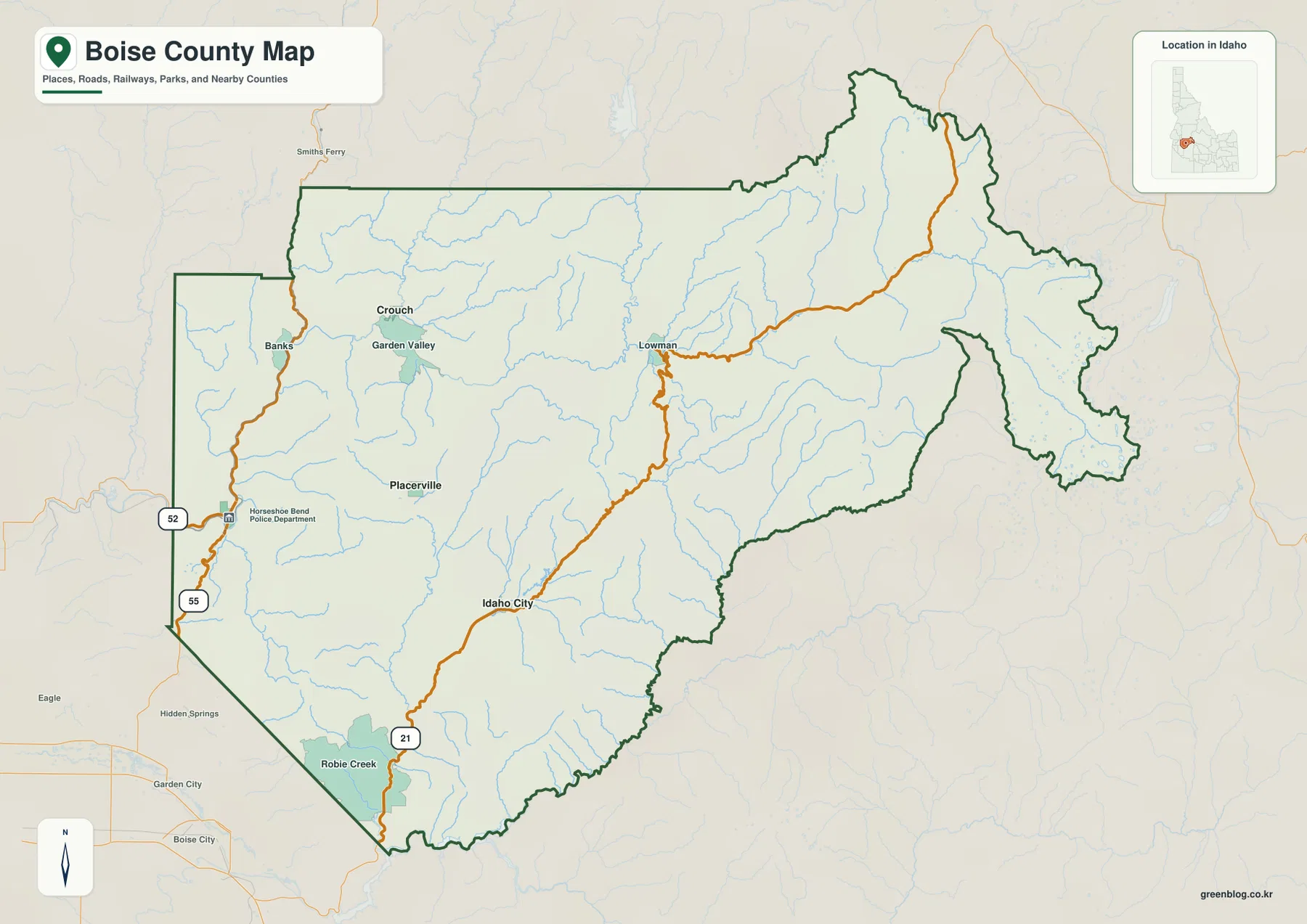
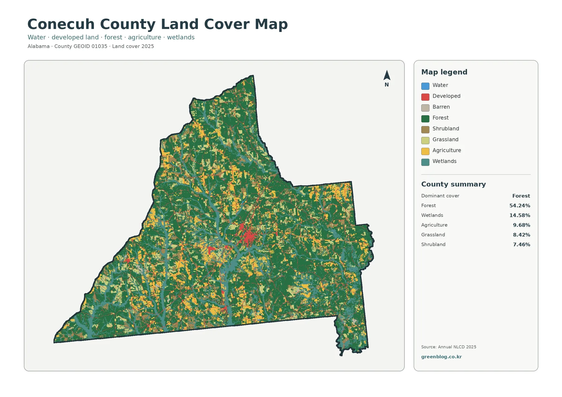
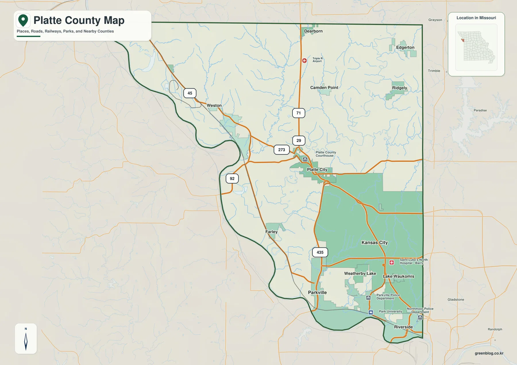
Platte City is the easiest place to begin reading the general map. Interstate 29 and U.S. 71 pass through the central county and provide a clear north-south reference toward Dearborn and Camden Point in one direction and the Kansas City side in the other. Route 92 extends west from the Platte City area toward the Missouri River, while Route 273 helps organize the western road network.
Weston sits close to the river in the northwest and is easy to locate from Route 45. The setting changes quickly between the interior uplands around Platte City and the broad river lowlands near Weston. Smaller roads bend through creek valleys and toward the river, so the western county does not follow the same dense road pattern seen farther south.
The southern county is much more urban. Parkville, Riverside, Weatherby Lake, and Lake Waukomis lie close to the Kansas City portion of Platte County, and Interstate 435 provides another major highway reference. The concentration of roads and developed areas makes the south look very different from the more rural northern half.
Farley appears southwest of Platte City near the Missouri River, close to the lower Platte River valley. The county boundary curves repeatedly with the large river along the west and south, while the eastern side is much straighter. Beginning with Platte City and the I-29 corridor, then locating Weston and Parkville, gives a practical framework for the whole map.
Parkville, Platte City, and Riverside show how strongly settlement shifts south
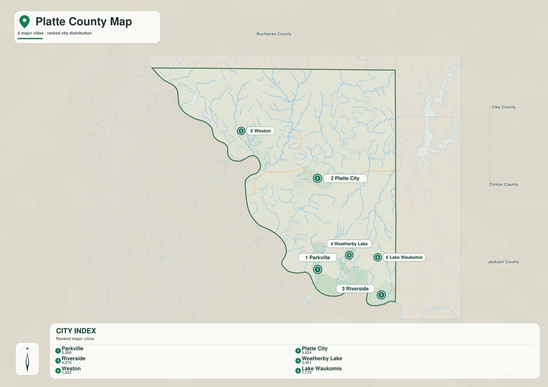
The city map highlights Parkville, Platte City, Riverside, Weatherby Lake, Weston, and Lake Waukomis. Parkville ranks first and sits near the Missouri River in the southwest. Platte City ranks second in the interior, Riverside third near the southeastern river edge, and Weatherby Lake and Lake Waukomis occupy the southern metropolitan area.
Weston ranks fifth and is the only highlighted city well into the northwestern part of the county. Its position makes the contrast with the southern cluster especially clear. Parkville, Riverside, Weatherby Lake, and Lake Waukomis lie much closer together, while Platte City occupies a separate central position between the metropolitan south and the rural north.
Weatherby Lake and Lake Waukomis are both tied closely to their namesake waterbodies, which can also be located on the terrain-and-water map. Riverside and Parkville provide river-side references, while Platte City sits on higher interior ground. Learning those positions first makes the later creek and elevation maps easier to read.
Kansas City also occupies a substantial part of southern Platte County on the general map, even though it is not one of the six communities in the city index. The simplified city view should therefore be treated as an orientation map rather than a complete list of every incorporated place.
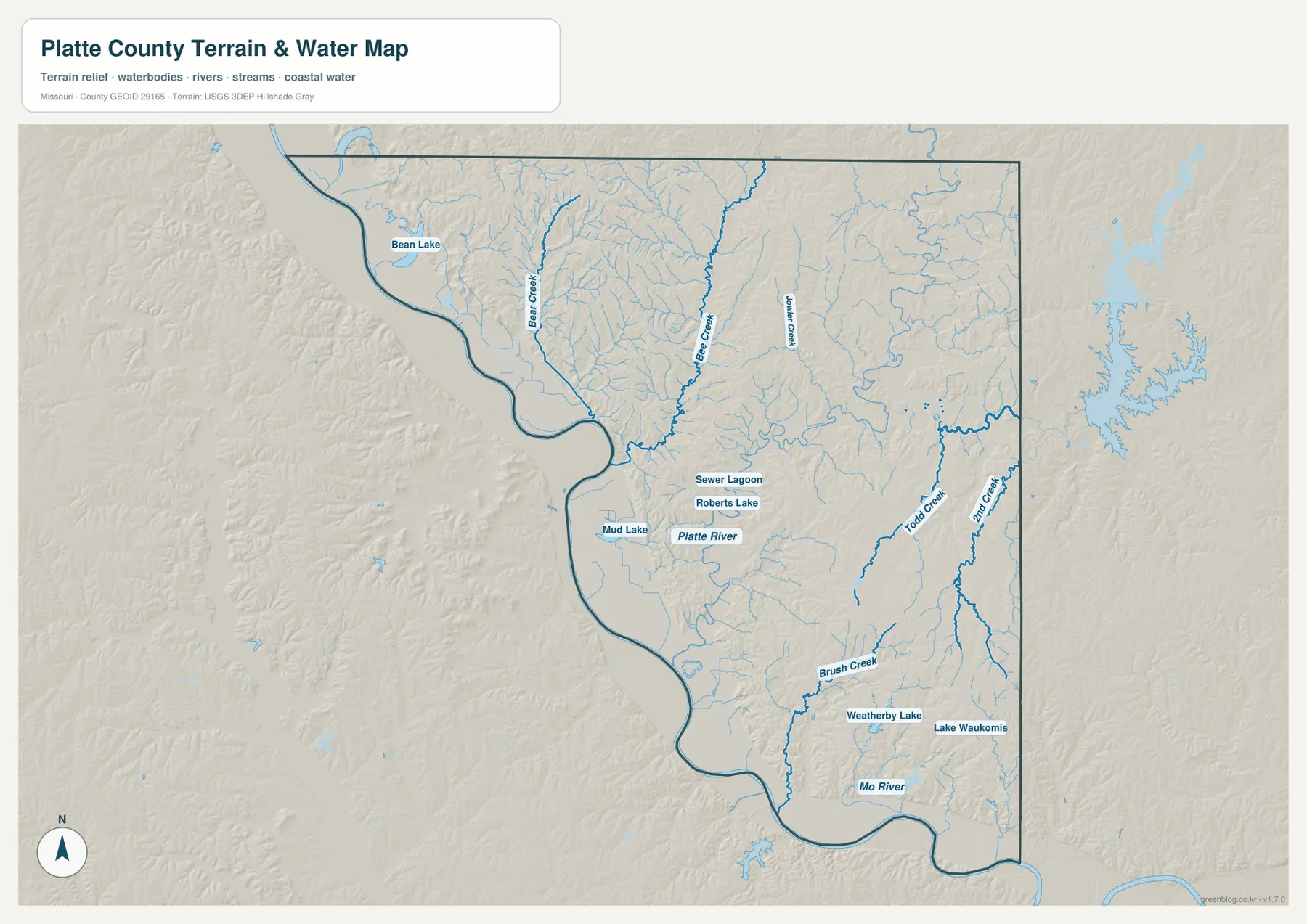
Missouri River lowlands surround the Platte River and creek-cut interior
The Missouri River is the dominant water feature, following much of the western and southern county boundary. Wide lowlands border the river, and smaller features such as Bean Lake and Mud Lake appear within the western side. The Parkville and Riverside area is also closely tied to the river, creating a low southern edge beneath the interior uplands.
The Platte River is the main named interior river on the map. It runs through the central-western part of the county toward the Missouri River, with Roberts Lake and a small lagoon labeled nearby. Farther north, Bear Creek and Bee Creek create long tributary valleys that divide the rolling terrain into separate ridges.
Todd Creek and 2nd Creek stand out in the eastern half, while Brush Creek occupies a prominent southern valley. Weatherby Lake and Lake Waukomis provide easy water references near the urban cluster. Together these features show that the county interior is not a smooth plateau; streams repeatedly cut through the uplands before reaching the larger river system.
The terrain-and-water map is intended for geographic reference, not flood determination, depth analysis, levee inspection, navigation, parcel boundaries, or legal water boundaries. Missouri River stage and smaller stream conditions can change, so current decisions should rely on appropriate official hydrologic and emergency-management sources.
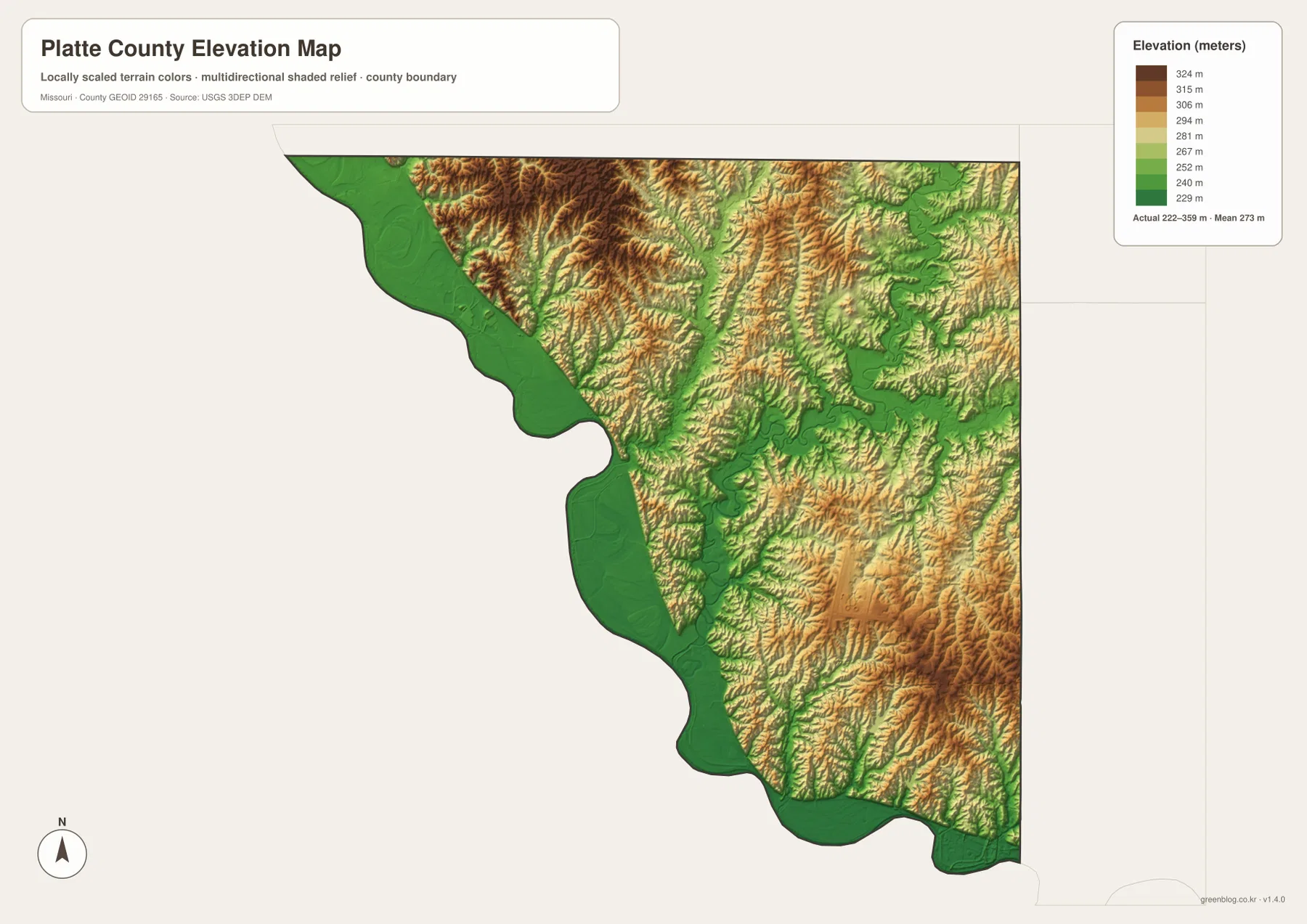
Elevation ranges from about 222 to 359 meters
The elevation map reports an actual range of roughly 222 to 359 meters and a mean near 273 meters. The lowest greens follow the Missouri River along the western and southern boundary, with additional low corridors extending inland along the Platte River and larger creeks. These river bottoms are broad compared with many of the narrow tributary valleys.
Higher tan and brown terrain occupies much of the county interior. Ridges are especially visible across the northern and north-central uplands and again in parts of the southeast. Bear Creek and Bee Creek cut deeply into the northern terrain, while several eastern creeks create a repeating ridge-and-valley pattern.
Near Parkville and Riverside, the land drops toward the Missouri River but rises quickly again away from the floodplain. Weatherby Lake and Lake Waukomis sit within a landscape that still contains small valleys and ridges rather than a completely flat urban surface. Comparing the water and elevation maps makes those local changes much easier to see.
This county-scale elevation surface is useful for broad relief comparison, not for engineering, construction, drainage design, parcel-level elevation decisions, or survey-grade measurement. Site-specific work requires more detailed official elevation data or field surveying.
Compare the rural north, central county, and metropolitan south
Start with the general county map when roads and settlement locations matter most. Platte City, Interstate 29, and U.S. 71 provide an immediate framework, after which Weston, Parkville, Riverside, and the northern communities are easy to place. The city map is especially useful for seeing how strongly the highlighted population centers cluster toward the south.
For waterways, begin with the Missouri River and the Platte River, then compare Bear Creek, Bee Creek, Todd Creek, and Brush Creek. Moving to the elevation map afterward shows how those waterways occupy lower corridors between higher ridges and why river-side places such as Weston and Parkville differ from the interior around Platte City.
Platte County combines rural northern hills with a heavily developed southern edge adjoining Kansas City. The road map shows the urban concentration, while the water and elevation maps show that much of the county remains shaped by river bottoms and creek-cut uplands. Viewing the maps together gives a fuller picture than the highway network alone.
The downloadable JPG originals contain more pixels than the WebP previews embedded on the page, making them better for enlargement, A3 printing, classroom handouts, reports, and personal reference. They remain general-purpose maps, however. Legal boundaries, property ownership, live road restrictions, flood status, levee conditions, and precise site elevations should always be checked against the appropriate current official source.
Frequently Asked Questions
Which roads are the easiest references around Platte City?
Interstate 29 and U.S. 71 are the clearest north-south references through the central county. Route 92 is useful for moving west from Platte City toward the Missouri River side, while Interstate 435 helps orient the southern Kansas City area.
How much elevation change is shown across Platte County?
The elevation map shows an actual range of about 222 to 359 meters with a mean near 273 meters. Missouri River and Platte River lowlands are lowest, while broad interior ridges rise well above the river bottoms.
Which waterways are the best starting points on the terrain map?
Start with the Missouri River around the western and southern boundary and the Platte River through the interior. Bear Creek, Bee Creek, Todd Creek, and Brush Creek then provide useful references for the major tributary valleys.
Map File Information
The download ZIP contains high-resolution JPG versions of the Platte County general map, city map, terrain-and-water map, and elevation map.
- File Type: JPG
Related Maps
Sources and References
Boundary and road reference data are supported by U.S. Census Bureau TIGER/Line, water features by USGS National Hydrography, and elevation data by the USGS 3D Elevation Program. County government information centered in Platte City is available from the official Platte County website.
Green Map creates custom-edited map images using open geographic data sources such as geoBoundaries, Natural Earth, OpenStreetMap, and government open data. These maps are edited visual materials, not raw data files, and are provided for education, documents, presentations, and graphic reference.