After working through several South American maps, the focus shifted to Europe, starting with Spain. This Spain map was created to provide a clear regional overview without unnecessary detail., but deciding how much regional detail to show took more thought.
The goal was to keep the map easy to read while still useful for people who need a clear sense of how areas relate across the country. This Spain map download collection was created with that balance in mind
Table of Contents
Choosing Regional Scope Over Fine Division
Spain’s overall shape allowed the base outline to come together quickly, but the real decision came later. Dividing the country into smaller administrative units would have added detail, yet it would also reduce clarity at a glance.
Instead, the map groups Spain into broader regions and highlights major cities. This keeps the visual flow readable while still giving enough structure for explanation, comparison, or planning.
This approach helps keep the Spain map readable while still offering enough structure for explanation and comparison.
How the Map Is Organized
All versions share the same proportions and scale so they can be swapped without adjusting layouts. This consistency allows the Spain map to be reused across print, presentation, and design contexts.
Files were prepared to stay lightweight, making the full Spain map download collection easy to store, share internally, and reuse across different projects.
1️⃣ Regional Map With Color
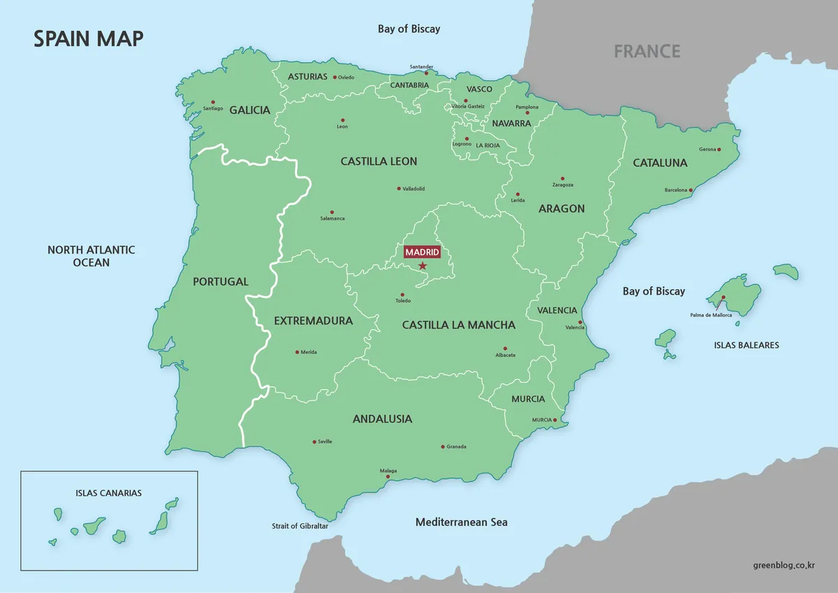
This version shows Spain divided by region using restrained color separation. Portugal appears alongside Spain to preserve geographic context, while neighboring countries remain muted to keep attention centered on Spain itself.
City names appear in both Korean and Spanish, helping readers connect local names with familiar references. Madrid stands out with a distinct marker, and the Canary Islands are framed separately to avoid crowding the main map area.
Summary:
- Regional boundaries remain easy to follow without overpowering the map
- Major cities stand out without crowding surrounding areas
- Nearby countries support orientation rather than compete for attention
2️⃣ Black and White Map for Print and Editing
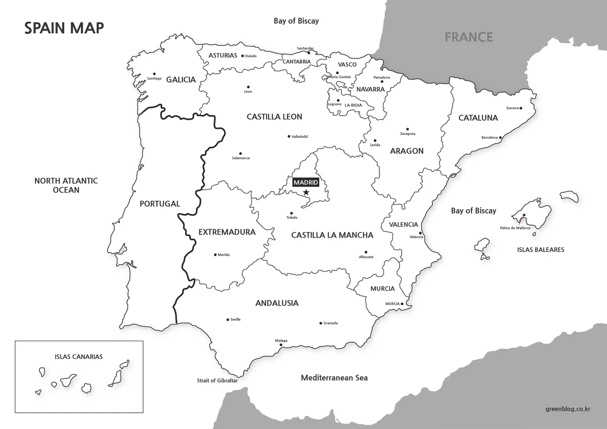
Some tasks benefit from removing color entirely. This version keeps only borders and labels, making it easier to print or annotate. Without background fills, the map stays readable even on basic printers.
For editing, the lack of color reduces cleanup time and allows users to add highlights only where needed.
Summary:
- Maintains clarity in grayscale printing environments
- Works well for notes, markings, and quick revisions
- Leaves visual space for user-added emphasis
3️⃣ Outline-Only Map for Custom Work
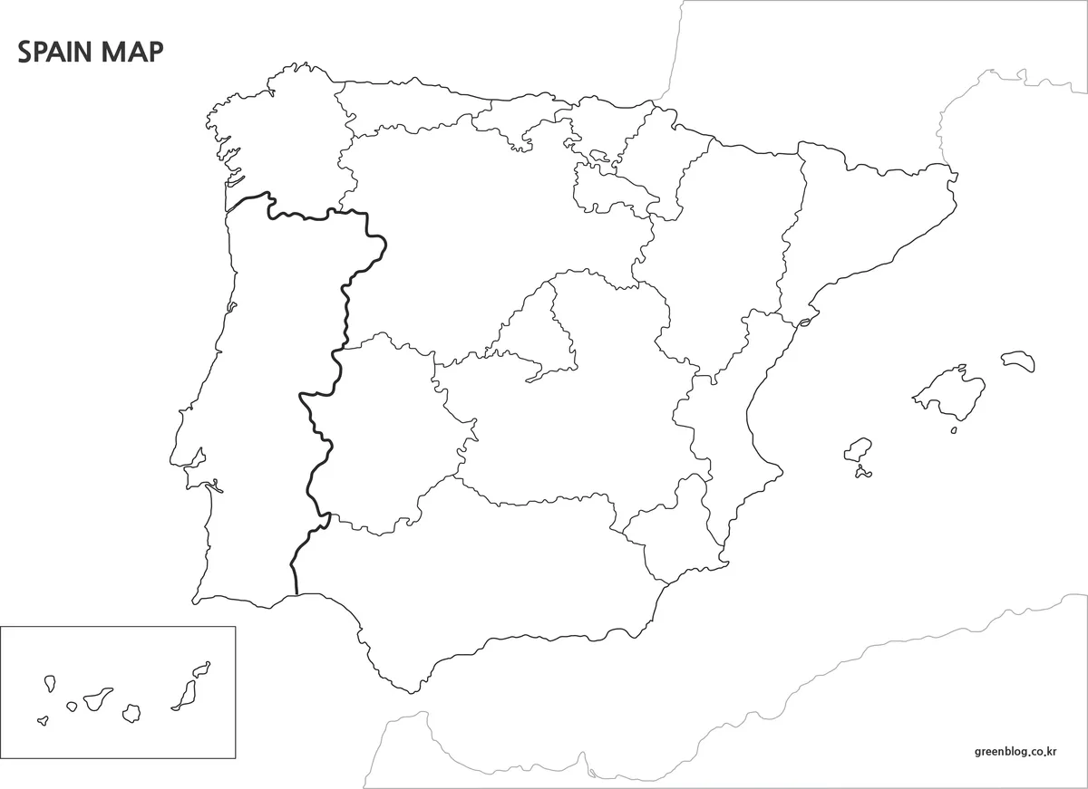
The most minimal option removes all text and color, leaving only Spain’s outer and regional boundary lines. Many users search specifically for this kind of outline, especially when preparing custom visuals.
Because the structure is left open, information can be added freely without working around existing labels or fills.
Summary:
- Keeps only essential boundary lines
- Supports full customization without visual conflict
- Fits cleanly into design and data-focused layouts
Flag-Based Map Variation
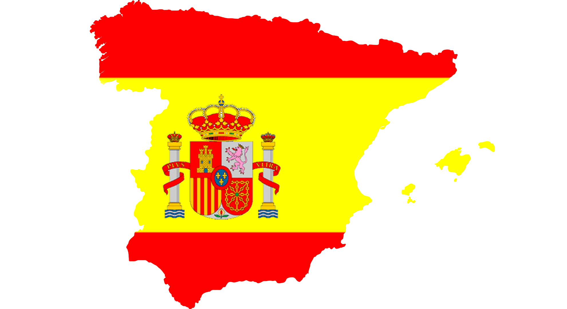
Search behavior showed frequent interest in flag-filled maps, so a separate version includes Spain’s flag within the country outline. Spain’s broad shape made this approach workable without visual distortion.
The file is saved as a transparent PNG, which removes the need for background cleanup when layering it over other visuals.
Practical Contexts for Using the Map
- A student learning how European regions connect spatially
- A presenter explaining Spain’s position within the Iberian Peninsula
- A planner outlining travel routes across major regions
- A researcher preparing visual references before adding data
- A designer comparing multiple country layouts side by side
Frequently Asked Questions
Can the Spain maps be used freely?
Yes. The maps may be used in personal projects, school assignments, presentations, and informational posts. Please note that sharing or re-uploading the original files in their unchanged form is not allowed.
Are these maps suitable for printing?
All files were prepared at a large size, so boundary lines remain clear when printed. The black-and-white and outline versions work especially well for handouts and printed documents.
Which tools were used to create the maps?
The map outlines were drawn in Illustrator to keep edges clean at any size. Color adjustments and final layout were handled in Photoshop.
Can I edit the maps in graphic software?
Yes. The files can be opened directly in common design programs, making it easy to add labels, highlights, or custom notes for your own use.
Download Information
The Spain maps are provided as a single ZIP file. Inside, you’ll find the color regional map, the black-and-white version, the outline-only map, and the flag-based map variation. All files are included at full A3 resolution.You may use these maps in personal, educational, or internal materials. Selling the
files or redistributing the original ZIP package is not permitted. This map set is also available in Korean. You can view the original Korean version through the link below.

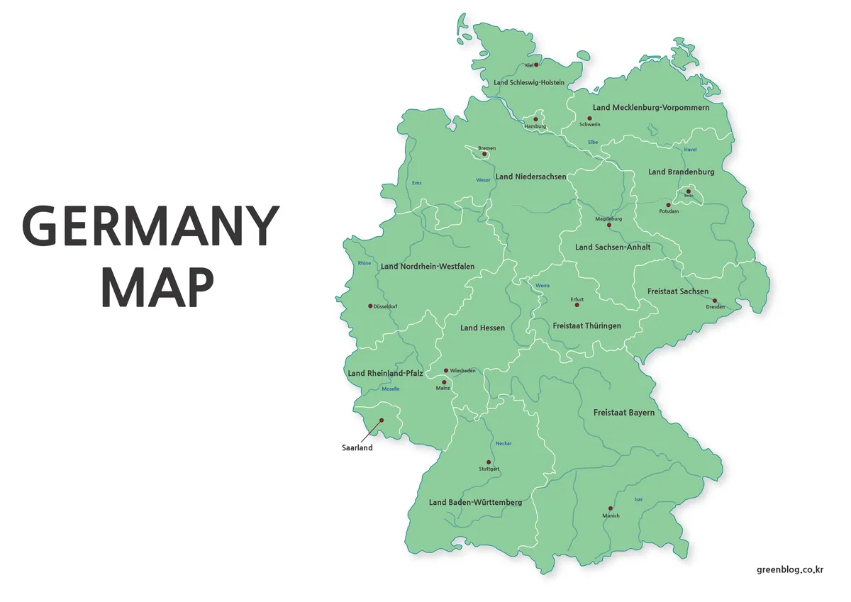
▶ Germany Maps Download Collection (4 Map Types)
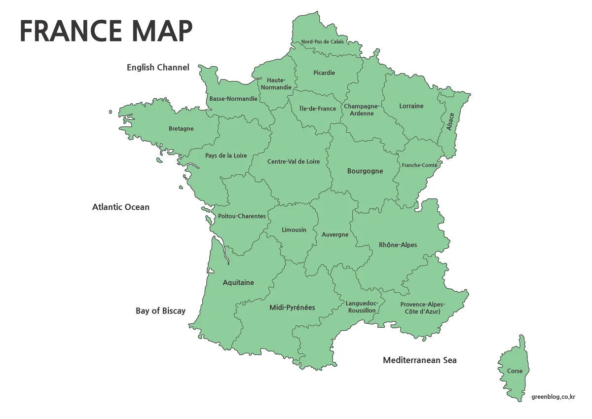
▶ France Maps Collection Download – 3 Practical Formats
▶ Mexico Maps Download Collection (3 Files for Regional Reference)