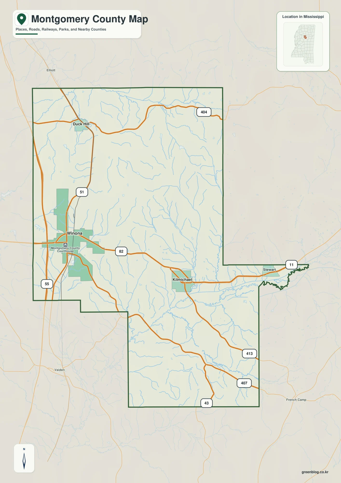
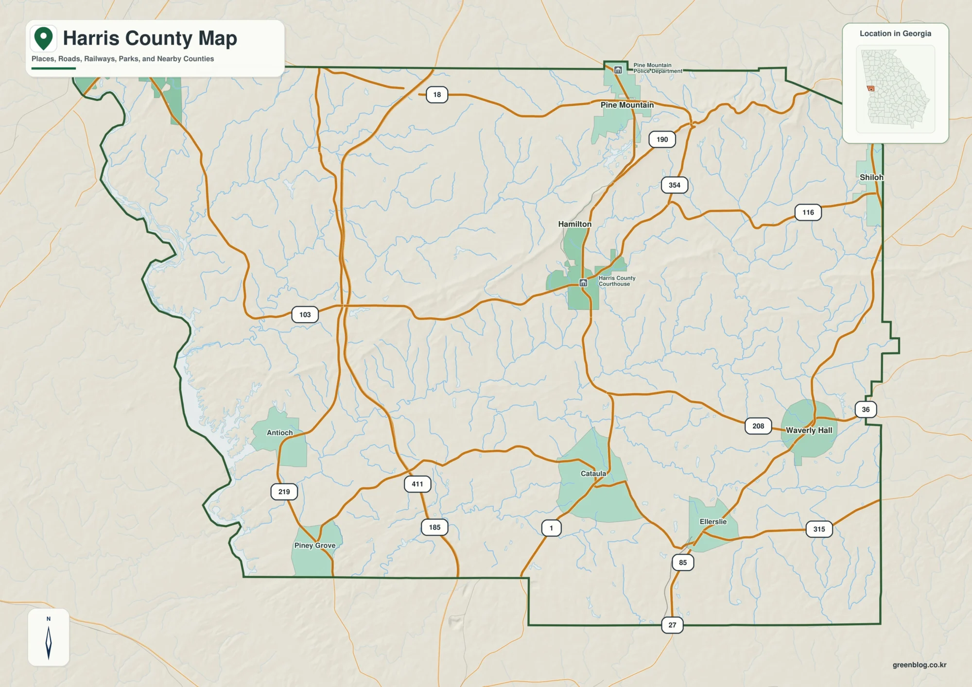
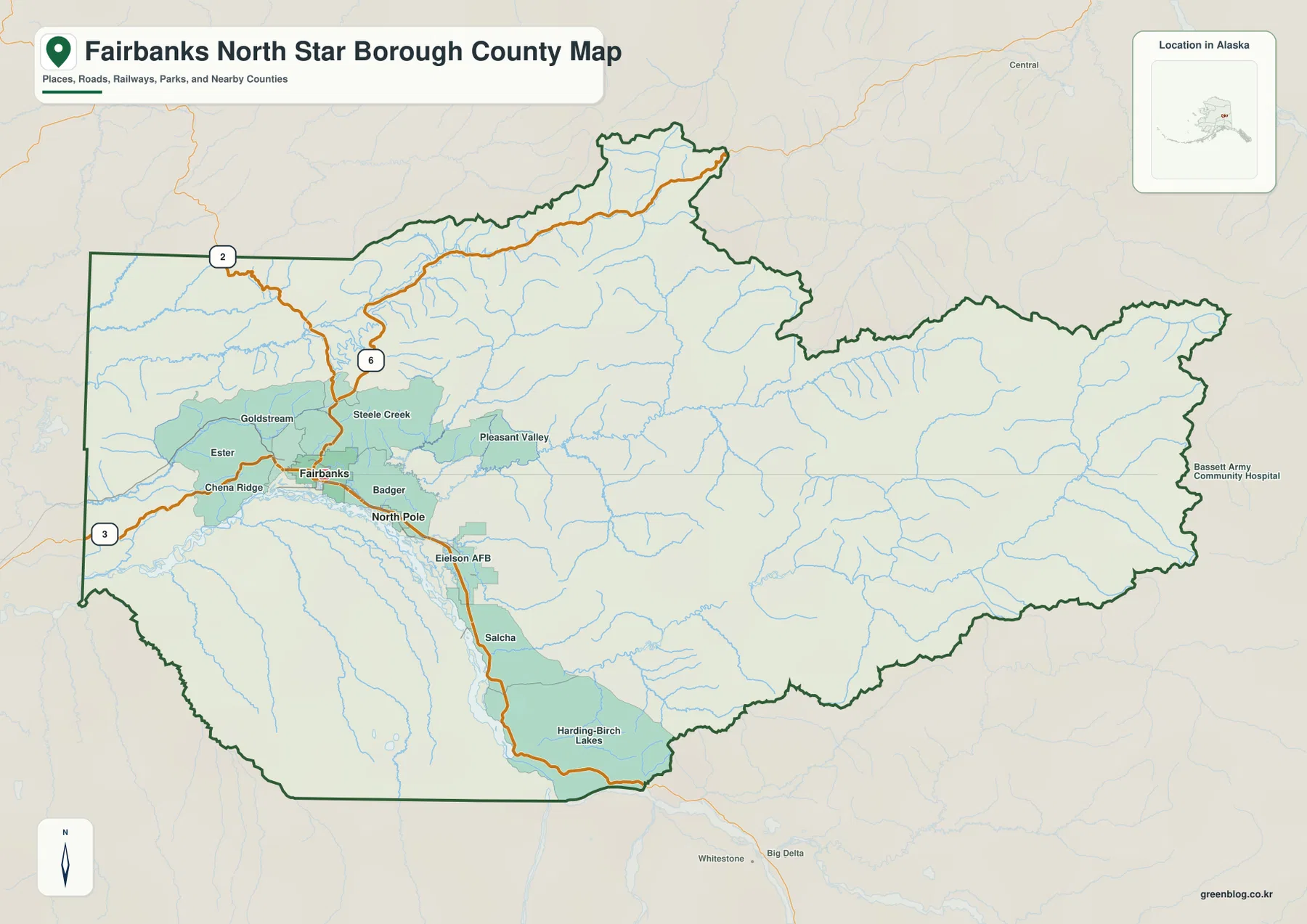
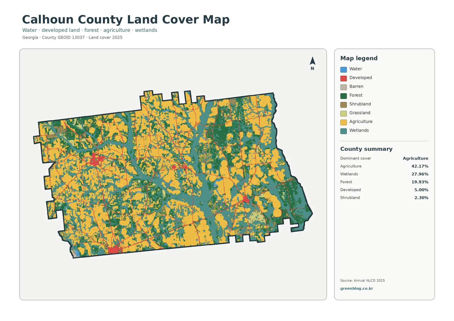
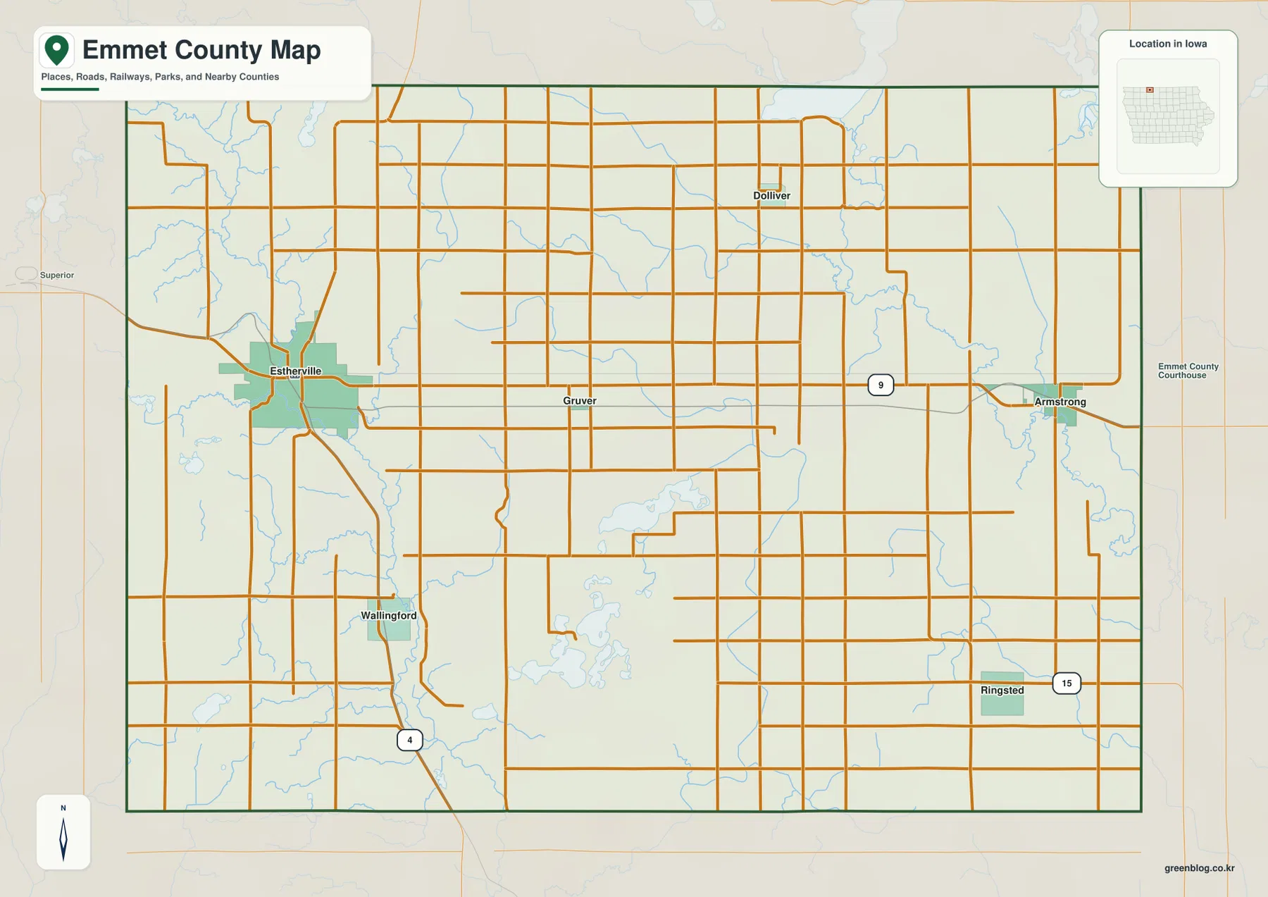
Emmet County sits along Iowa’s northern edge, where Estherville anchors the western side of a largely rural county and smaller communities such as Armstrong, Ringsted, Dolliver, Wallingford, and Gruver are spread across the interior. Iowa 9 provides the clearest east-west reference, running from Estherville through the middle of the county toward Armstrong, while Iowa 4 and Iowa 15 help locate the southwest and southeast sections. The water and elevation sheets add a second layer of context: the Des Moines River and its East Fork occupy different sides of the county, and a group of lakes around Swan Lake, Ingham Lake, and High Lake breaks up the central-southern landscape. The four map files shown on this page can also be downloaded as high-resolution JPGs from the download box below.
A useful way to orient yourself is to connect Estherville and Armstrong first, then place the smaller towns around that line. Estherville lies near the western boundary and is the largest settlement shown in the city index. Armstrong is close to the eastern side, Ringsted is farther south and east, Dolliver is in the north, Wallingford is southwest of the county center, and Gruver is near the middle. Once those places are familiar, the river valleys and lake basins explain why the terrain is not simply a flat grid of roads. The elevation map ranges from 361 to 473 meters, with higher ground concentrated toward the west and southwest and lower valleys extending through the east and along the major rivers.
Table of Contents
Use Iowa 9 to connect Estherville, Gruver, and Armstrong
Iowa 9 is the easiest road to use as a mental baseline for Emmet County. It enters from the Estherville area, crosses the central part of the county near Gruver, and continues toward Armstrong near the eastern boundary. That line makes it possible to compare the west and east sides without relying on a dense network of local roads. Estherville stands out because several routes converge around it, while Armstrong appears as a smaller eastern community at the edge of the county road grid.
Iowa 4 leaves the Estherville area and runs south near Wallingford, giving the western half a strong north-south reference. Iowa 15 is marked near Ringsted in the southeast, and the northern area around Dolliver is served mainly by the local road grid. These highways are useful for orientation, but this county map is not a live navigation product. Construction, closures, exact intersections, and turn-by-turn travel should always be checked with current transportation or navigation information.
The county’s northern boundary is also Iowa’s state line, which is an important geographic cue when reading the map. Kossuth County lies to the east, while the surrounding labels on the city sheet place Dickinson, Palo Alto, and Clay counties to the west and southwest. Those outside labels are not the focus of this page, but they help show where Emmet County fits within northern Iowa and why Estherville feels close to the western edge rather than the geographic center.
A dispersed settlement pattern centered on Estherville
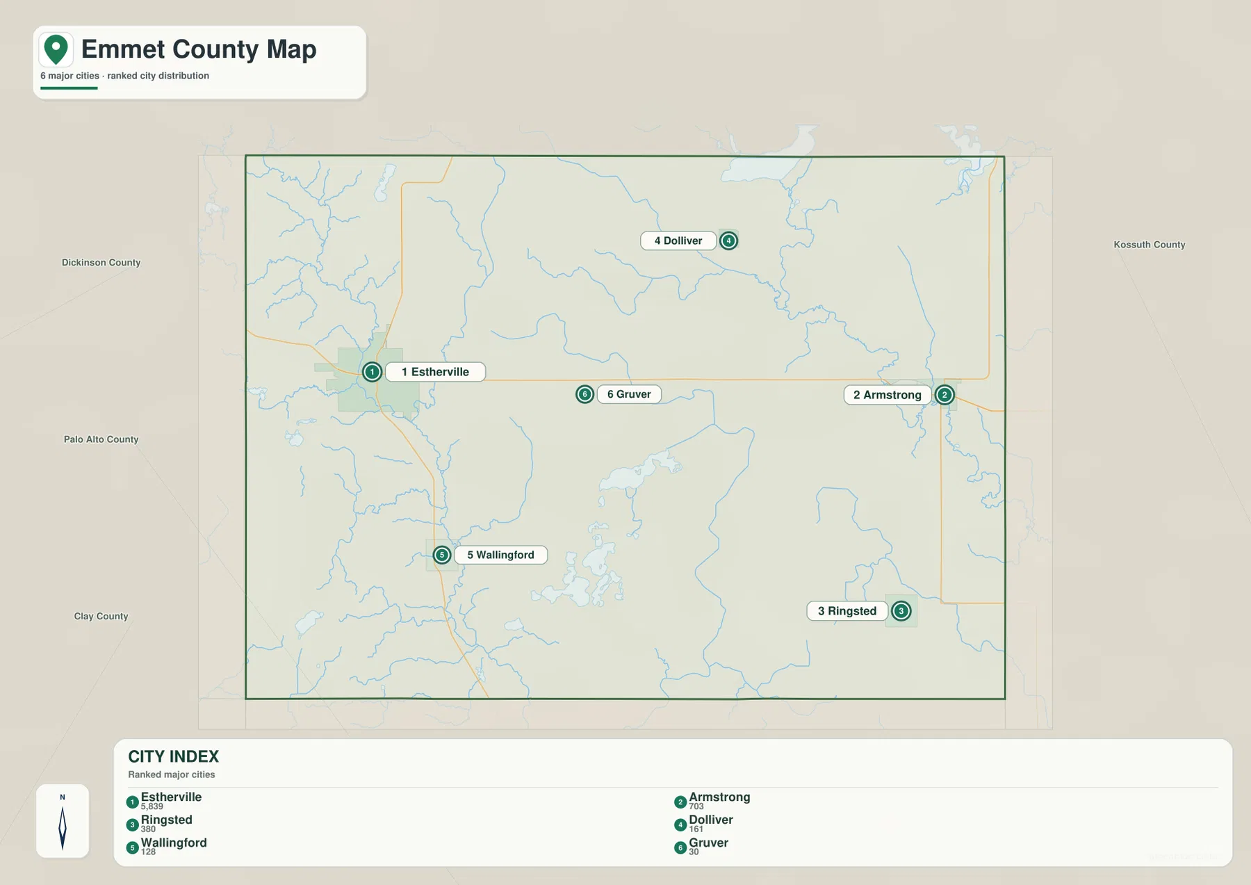
The city map strips away most of the road detail and makes the settlement pattern easier to see. Estherville ranks first on the supplied city index and is visually much larger than the other places. Armstrong forms the main eastern counterpart, Ringsted sits in the southeast, Dolliver is north of center, Wallingford lies to the southwest, and Gruver is near the middle. The towns are separated by broad rural areas rather than forming a continuous urban corridor.
Road connections make the pattern easier to remember. Estherville and Armstrong are linked by the Iowa 9 corridor, Wallingford is close to Iowa 4, and Ringsted is near Iowa 15. Dolliver and Gruver are better understood as smaller interior points tied into the local road grid. If you first learn the six locations from the city map and then return to the county map, the many county roads become much less visually confusing because each section has a nearby town to use as a reference.
The large spaces between towns are not empty from a geographic point of view. Streams, shallow valleys, and lake basins cross the interior, especially south of the Iowa 9 corridor. The group of lakes around Swan Lake and Ingham Lake occupies a different center of attention from the main towns, so the settlement map and water map complement each other rather than telling the same story.
Two Des Moines River corridors frame the county’s drainage
The terrain and water map shows two major river corridors on opposite sides of Emmet County. The Des Moines River follows the western side and bends south through a pronounced valley, while the East Fork Des Moines River appears in the northeast and continues toward the eastern and southeastern portion of the county. This split drainage is one of the county’s most useful map-reading features because it explains why low ground appears in more than one broad corridor.
Several named creeks add detail between the two rivers. Soldier Creek crosses the northern interior toward the East Fork, Brown Creek drains part of the west-central area, and Jack Creek runs through the south-central portion. Cat Black Creek is labeled near the eastern edge. These smaller channels help connect the blue lines on the water map with the branching green valleys visible on the elevation sheet.
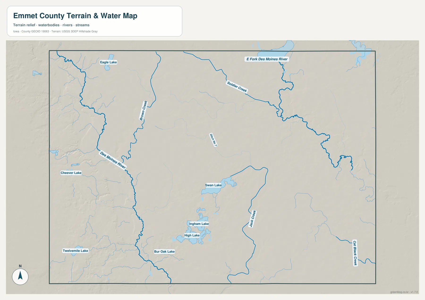
The map should be read as a geographic reference rather than a flood, boating, or legal-water-boundary product. Stream lines and lake outlines are especially helpful for comparing broad terrain and drainage patterns, but current water levels, flood risk, navigability, and property boundaries require separate official information. For ordinary map reading, the key point is that river valleys define the outer sides of the county while many smaller water features occupy the interior.
Swan Lake, Ingham Lake, and High Lake form an inland lake cluster
South of the county’s main east-west town corridor, the water map shows a distinct cluster of inland lakes. Swan Lake is the most prominent in the central-southern area, with Ingham Lake and High Lake immediately farther south. Bur Oak Lake appears to the west of this group, while Eagle Lake and Cheever Lake lie farther northwest. Twelvemile Lake is marked near the southwest edge of the mapped area.
These lakes are useful fixed points when comparing maps. Ringsted lies east of the central lake group, Wallingford is west of it, and Estherville is well to the northwest. On the elevation map, many lake margins and nearby drainage paths occupy lower shades than the surrounding uplands. The result is a landscape where small basins and shallow valleys interrupt the broad agricultural surface rather than one where all water is confined to a single large river.
Elevation falls from western uplands into river and creek valleys
The supplied elevation map records an actual range of about 361 to 473 meters, with a mean of 397 meters. Higher brown and orange terrain is concentrated along the western and southwestern side of the county. The Des Moines River cuts a much lower green corridor through that higher ground, creating one of the sharpest local contrasts on the sheet. Across the center, elevations generally moderate, and the eastern side contains more green lowland associated with the East Fork and its tributaries.
The east does not form one smooth low plain. Branching drainage valleys divide the surface into many smaller ridges and hollows, and the central lake district adds additional low basins. In the west, higher uplands sit close to the river valley, so elevation can change over a relatively short horizontal distance. This pattern is easier to understand when the elevation and water maps are compared side by side: the deepest green paths often correspond to rivers, creeks, or lake basins shown on the hydrology sheet.
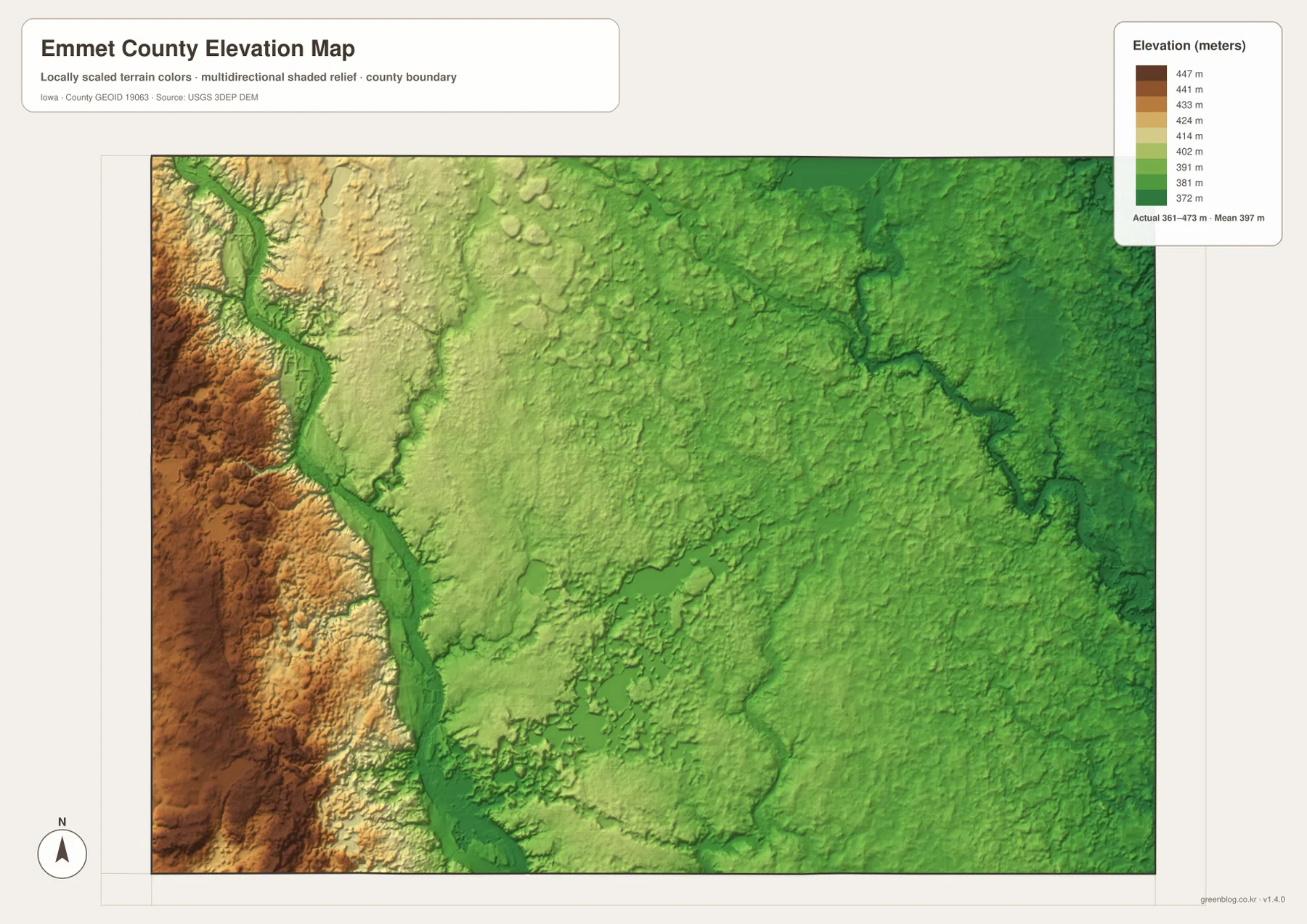
This elevation surface is appropriate for county-scale comparison, not survey-grade measurement. A parcel, road grade, building site, or engineering project may require more precise source data and field measurements. Here, the useful information is the relative pattern: high western ground, low river corridors, and a more dissected eastern landscape crossed by tributaries.
Combine towns and water features for a clearer mental map
Emmet County becomes easier to remember when each town is paired with a nearby road or water feature. Estherville is the western Iowa 9 reference and sits close to the Des Moines River corridor. Armstrong marks the eastern end of the same road and lies much closer to East Fork drainage. Ringsted provides a southeastern reference near Iowa 15, while Wallingford helps locate the southwest between the western river valley and the inland lakes.
Dolliver and Gruver are smaller points but still help organize the interior. Dolliver is useful when reading the northern drainage toward Soldier Creek and the East Fork, while Gruver anchors the central section of Iowa 9. Swan Lake, Ingham Lake, and High Lake are not towns, yet they act as strong geographic landmarks in the southern interior. Linking one road and one water feature to each part of the county makes the map easier to retain than memorizing a long list of place names.
Which Emmet County map should you use?
Start with the county map if your goal is to locate towns and numbered highways. It is the quickest sheet for seeing how Estherville, Armstrong, Ringsted, Dolliver, Wallingford, and Gruver relate to Iowa 9, Iowa 4, and Iowa 15. The city map is cleaner when you only need the settlement pattern and want to compare the six labeled communities without the full road network.
Choose the water map when the Des Moines River branches, named creeks, or inland lakes are the main subject. The elevation sheet is best for comparing western high ground with lower valleys in the east and along the rivers. You do not need to study all four maps at once. A practical approach is to begin with the sheet that answers your immediate question, then use a second map to add terrain or settlement context.
The WebP images in the article are optimized for quick viewing in a browser. For printing, classroom use, presentations, or closer inspection, the ZIP below contains the county, city, terrain-and-water, and elevation maps as high-resolution JPG files. They are general reference graphics and should not replace legal boundary records, live road information, flood data, or survey-grade elevation measurements.
Frequently Asked Questions
Which map is best for finding Estherville and Armstrong?
The county map is the best starting point because it shows both towns along the Iowa 9 corridor and keeps the main numbered highways visible. If you only want the relative positions of the principal communities, the city map provides a simpler view with Estherville, Armstrong, Ringsted, Dolliver, Wallingford, and Gruver highlighted.
What are the main water features shown in Emmet County?
The water map labels the Des Moines River on the western side and the East Fork Des Moines River in the northeast and east. It also shows Soldier Creek, Brown Creek, Jack Creek, Cat Black Creek, and several lakes including Swan Lake, Ingham Lake, High Lake, Eagle Lake, Cheever Lake, and Bur Oak Lake.
How should the 361–473 m elevation range be interpreted?
The range describes the county-scale elevation surface shown on the supplied map. Higher ground is concentrated in the west and southwest, while river and tributary valleys are lower, especially along the Des Moines River and East Fork drainage. The mean shown on the map is 397 m. Exact parcel or engineering elevations require original elevation data or professional survey information.
Map File Information
The ZIP contains four high-resolution JPG maps for Emmet County, Iowa: county, major cities, terrain and water, and elevation.
- Included Files: Use only the versions confirmed in the article and supplied images
- File Type: Use the confirmed download contents
- Intended Use: Printing, education, presentations, and map-based projects
Related Maps
Sources and reference data
The links below provide official county information and authoritative source data for boundaries, hydrography, and elevation. Emmet County’s official site also provides local administrative and community information for the county at Iowa’s northern edge.
- Emmet County, Iowa official website
- U.S. Census Bureau TIGER/Line Shapefiles
- USGS National Hydrography
- USGS 3D Elevation Program
These maps are intended for general geographic reference, learning, printing, and visual comparison. Legal boundaries, ownership, current road conditions, flood risk, water levels, and precise elevations should be checked against the responsible agency’s current records.
Green Map creates custom-edited map images using open geographic data sources such as geoBoundaries, Natural Earth, OpenStreetMap, and government open data.
These maps are edited visual materials, not raw data files, and are provided for education, documents, presentations, and graphic reference.