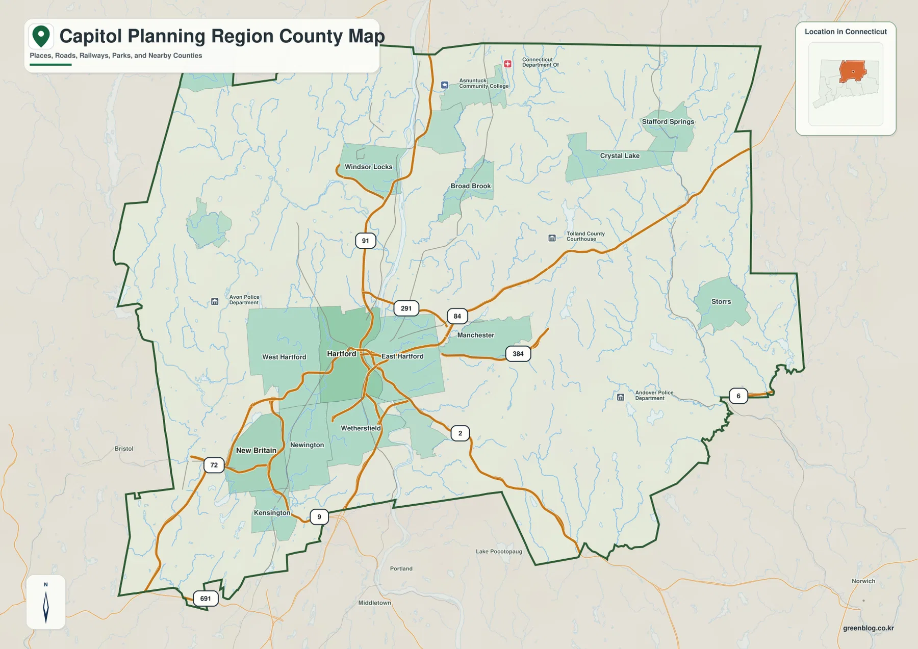
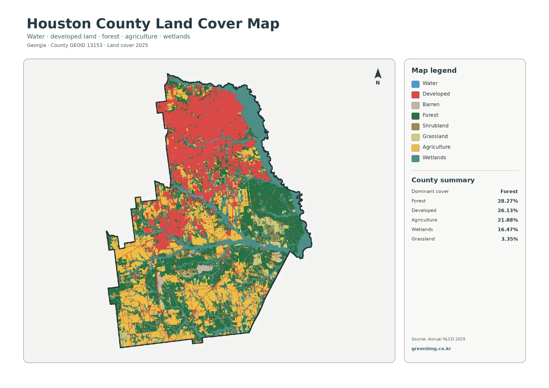
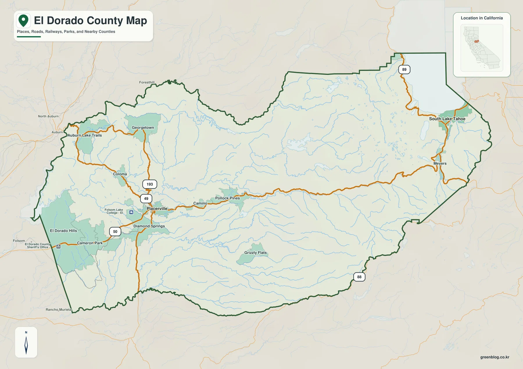
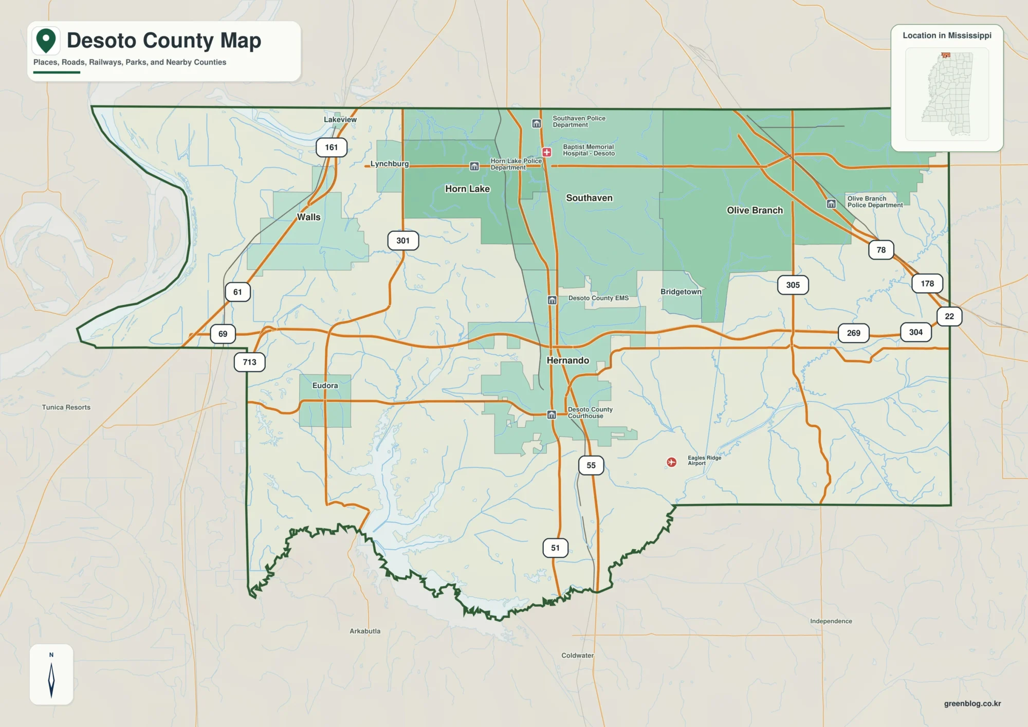
Teton County sits in eastern Idaho where a broad valley is framed by much higher mountain terrain. On the maps, the easiest pattern to recognize is the north–south line of Victor, Driggs, and Tetonia along State Highway 33. The western side becomes rougher and higher, while the valley contains the Teton River and a dense network of creeks descending from the surrounding slopes. Reading those elements together gives a much clearer picture of the county than looking at town labels alone.
This page includes a county-and-road overview, a simplified city-connections map, a terrain-and-water map, and an elevation map. The same maps are also available as high-resolution JPG files in the ZIP offered in the Map File Information box below. The downloadable originals are useful when you need larger labels for A3 printing, classroom handouts, presentations, or a document layout where an on-screen screenshot would lose detail.
The maps should be read as complementary references. The county map is best for roads and boundaries, the city view makes the Victor–Driggs–Tetonia sequence easy to remember, the water map shows how tributaries feed into the Teton River system, and the elevation graphic explains why the settled valley looks so different from the western and southern mountains. None of them replaces live navigation, parcel records, flood products, or survey-grade elevation data.
Table of Contents
Highway 33 links Victor, Driggs, and Tetonia
State Highway 33 is the simplest line to use for orientation. It runs through Victor in the south, passes Driggs near the middle of the county, and continues north to Tetonia. Highway 31 approaches the Victor area from the west and southwest, while Highway 32 leaves the Tetonia area toward the north. Once those routes and the three towns are located, the more complicated pattern of local roads and streams becomes much easier to place.
Driggs provides a useful central reference point. Teton County’s official website lists the county courthouse in Driggs, and the map shows the town roughly between Victor and Tetonia. From Driggs, Victor lies to the south and Tetonia to the north. The surrounding road grid is most regular on the valley floor, whereas roads farther west bend and branch as the terrain becomes steeper.
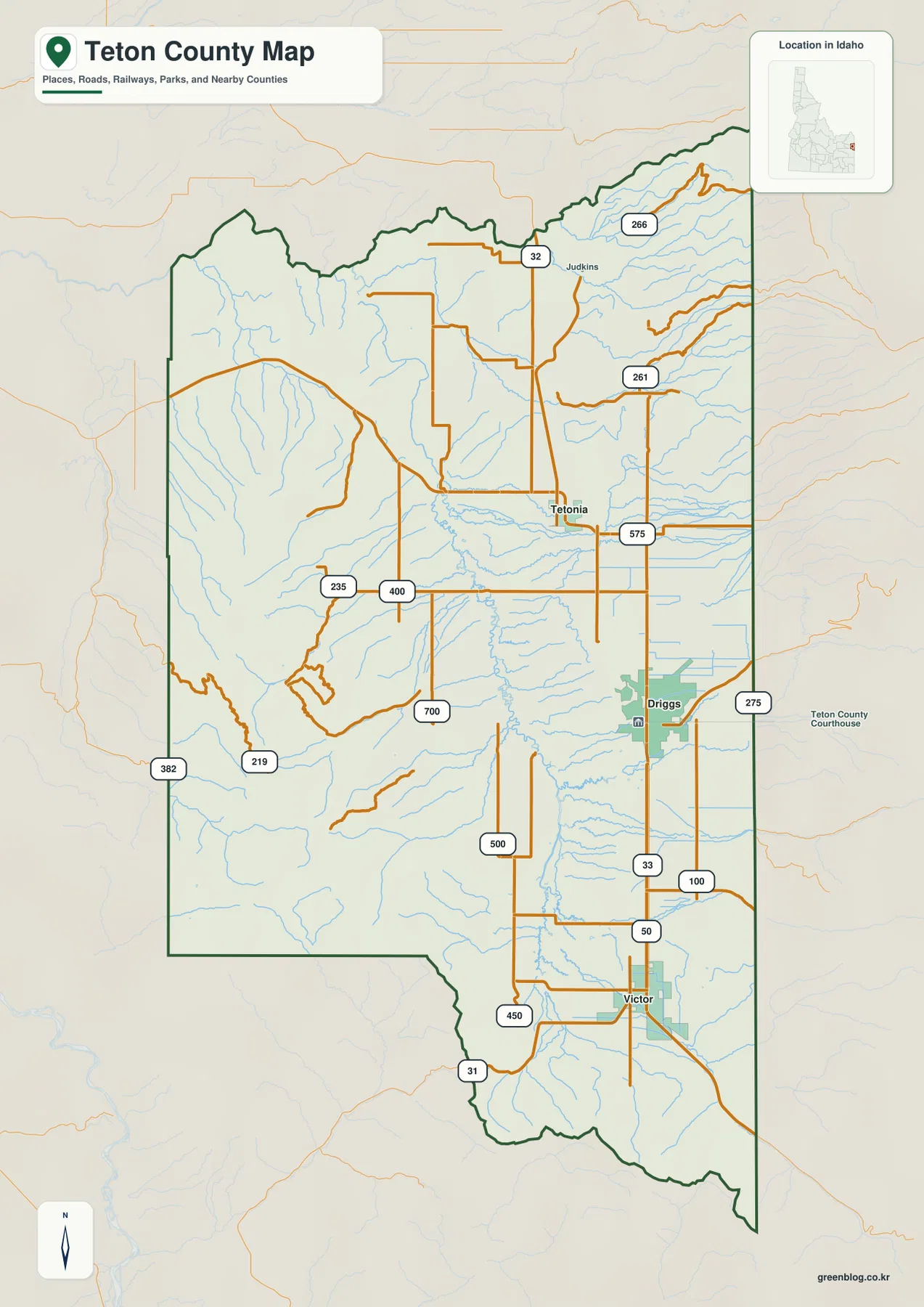
The county outline also emphasizes how much land lies beyond the three named towns. A large western interior contains many streams and local roads but few major place labels. That contrast is useful when describing Teton County to someone who knows only the developed valley. The map does not imply that the western side is empty; it simply shows that the most prominent town labels and the main north–south highway are concentrated in the lower valley.
Use Driggs as the middle reference point
For a quick mental map, start with Driggs and then move north or south. Tetonia is north of Driggs, while Victor is south. From there, look west across the county to see streams and mountain roads, or follow Highway 33 toward the county’s northern and southern connections. This method is more reliable than trying to memorize every numbered local road on the first pass.
Victor is also a useful road junction because Highway 31 meets the main valley corridor nearby. Tetonia marks another transition where Highway 32 turns north. These junctions show that the three towns are not isolated points; they sit along a connected valley route with different roads branching outward. For actual driving, however, use current navigation and road-condition sources rather than treating the reference map as a live routing product.
Three valley towns measured from Victor
The city-connections map strips away most of the road detail and uses Victor as the hub. Driggs is shown about 9 miles from Victor and Tetonia about 15 miles away. The map specifically describes these as direct distances, meaning straight-line separation between points rather than mileage driven on the road. That distinction should be kept in mind when comparing the numbers with a navigation app.
The north–south order is visually simple: Victor is the southern town, Driggs occupies the middle position, and Tetonia lies farther north. This arrangement helps explain why Highway 33 is so important for orientation within the valley. The western half of the county has no comparable cluster of large city markers, reinforcing the map’s larger pattern of concentrated settlement in the valley and much more mountainous country to the west.
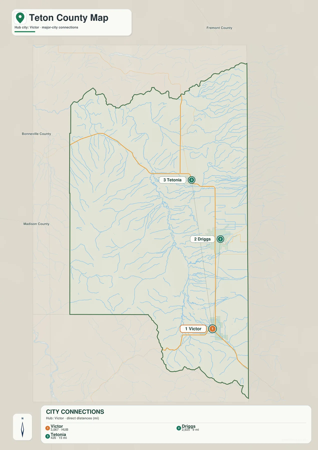
Numbers printed beside city names should not be treated as current population estimates unless their source year is independently verified. For this page, the dependable information is positional: which places are labeled, their order along the valley, and the direct-distance values clearly identified in the map legend. Current population figures should come from the latest Census Bureau or local government release.
Direct distance is different from a road trip
Straight-line distance is useful for comparing relative separation, but a real route has to follow streets, highway curves, intersections, and terrain. In a county where mountain slopes rise quickly beside the valley, the roadway between two points may be longer than the simple line drawn between them. Weather, construction, and seasonal conditions can also change travel time without changing the map distance.
That does not make the city map less useful; it simply defines its purpose. Use it to learn whether Driggs is north or south of Victor, how Tetonia relates to the other towns, and how tightly the three places are grouped. Then use a current routing service for turn-by-turn directions or time estimates.
Teton River tributaries spread across the valley and mountain fronts
The terrain-and-water map shifts attention from towns to drainage. The Teton River is the major named waterway, with numerous creeks descending from both sides of the county. Badger Creek, South Leigh Creek, Swanner Creek, and Bitch Creek are labeled in the northern part of the map. Farther south, Teton Creek, Spring Creek, Fox Creek, Trail Creek, and Warm Creek form part of the dense stream network around the valley.
On the western side, Milk Creek and Packsaddle Creek descend from higher terrain, and Packsaddle Lake provides an easy landmark. The map makes the relationship between water and relief visible without requiring contour-line reading. Short tributaries begin in steep uplands, then extend toward the broader valley and its larger channels. It is a geographic reference, not a flood map, boating chart, or source of real-time streamflow.
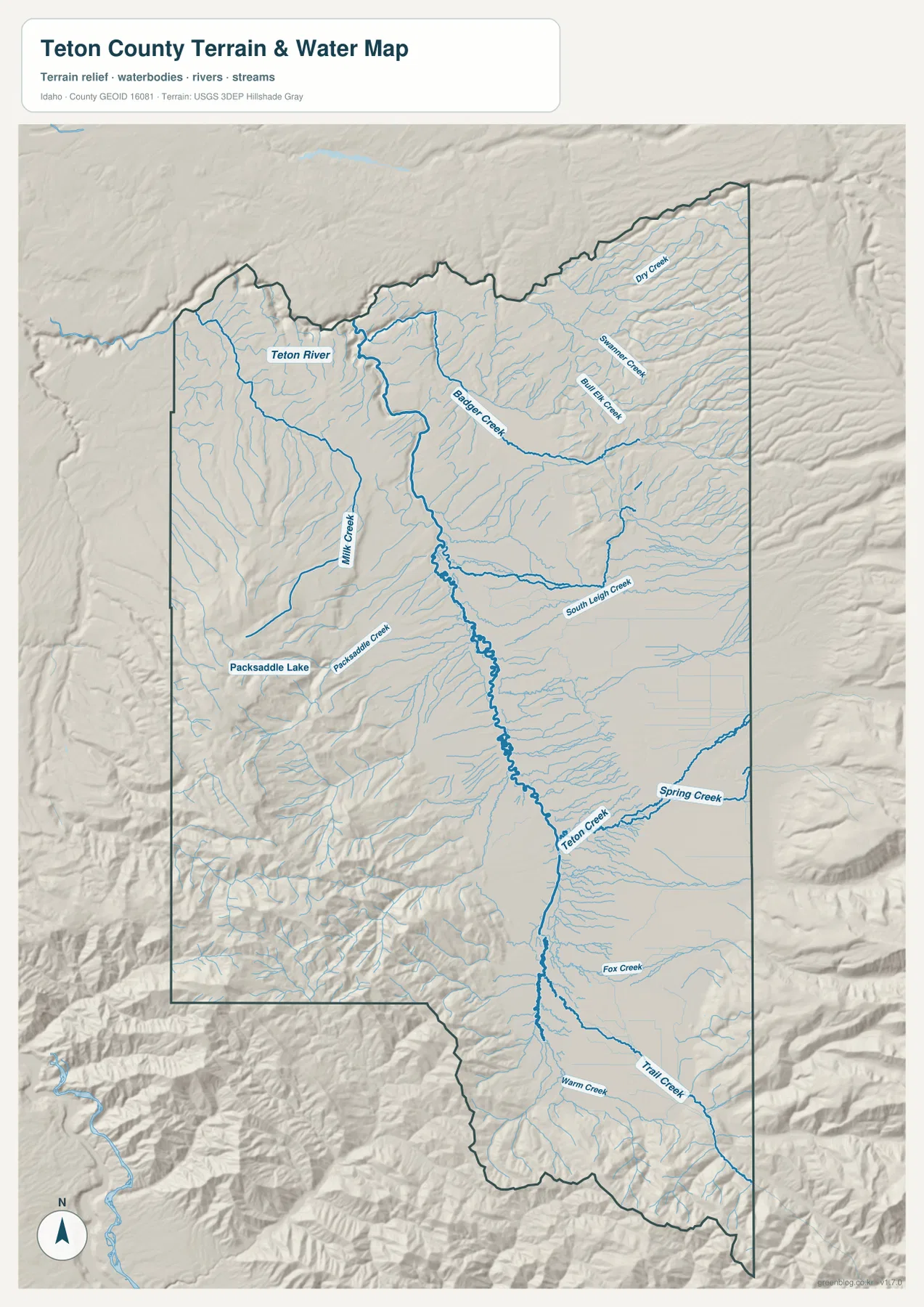
Comparing this map with the city view adds useful context. Driggs and Victor occupy the lower valley, while the water map shows tributaries approaching from mountain areas on either side. Teton Creek is a prominent eastern tributary near the central valley, while Packsaddle Creek and Milk Creek help define the rougher western side. The settlement corridor and the drainage network occupy the same broad valley but serve different purposes on the maps.
Packsaddle Lake is a useful western landmark
Packsaddle Lake appears west of the main valley within noticeably rougher relief. Around it, Packsaddle Creek and nearby tributaries cut through the western mountain terrain. That makes the lake a convenient visual reference when switching between the water map and the elevation map: the area around it belongs to the higher western side rather than the broad green valley floor.
The labeled stream pattern also helps explain why local roads become less regular away from Highway 33. Roads in mountain country often have to follow valleys or avoid steep slopes, whereas the lower valley permits a more open road network. The map can show that broad relationship, but it should not be used to infer property access, legal rights-of-way, stream depth, or safe crossing conditions.
A low valley floor beside much higher western and southern terrain
The elevation map gives the clearest single view of the county’s relief. Much of the central and eastern valley is colored green, indicating lower elevations relative to the mountains. The western side rises quickly through yellow and brown tones, and high terrain also appears along the southern edge. The result is a strong valley-versus-mountain contrast that helps explain the location of roads, towns, and many tributaries.
The map reports an overall elevation range of about 1,571 to 2,748 meters, with a mean near 1,989 meters. Those figures summarize the county-wide elevation surface. They do not state the exact elevation of Driggs, Victor, a road intersection, a house lot, or a trail point. The locally scaled colors are designed to compare broad relief, not to provide a survey measurement.
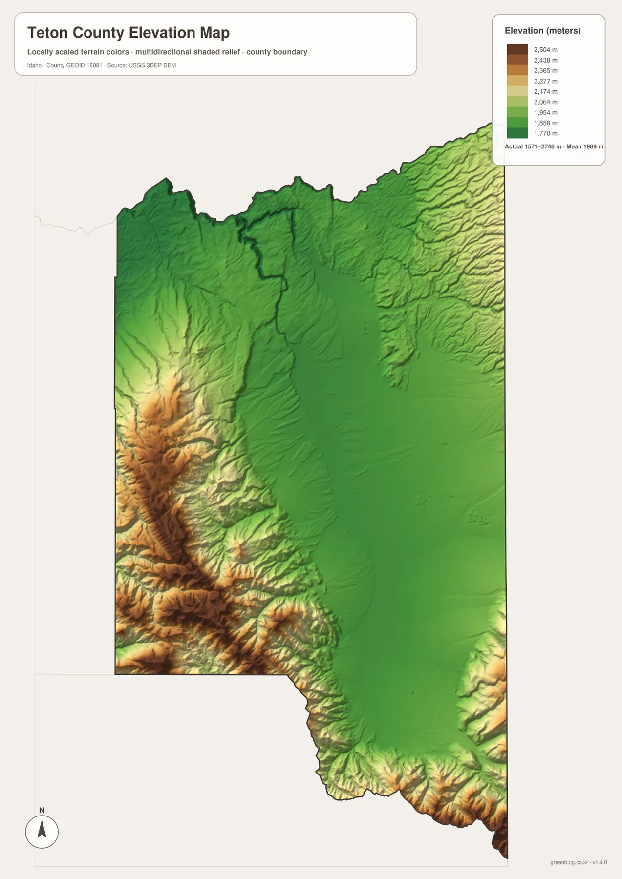
Placing the elevation and county maps side by side makes the settlement pattern easier to understand. Highway 33 and the three principal town labels sit in the lower, broader part of the county, while the road network becomes more irregular in the higher western terrain. The water map adds the final piece by showing the creeks that descend from those uplands toward the valley. Together, the maps explain the county as a connected landscape rather than four unrelated graphics.
Elevation colors are comparative, not survey-grade measurements
A color boundary on the map should not be interpreted as a sudden physical step on the ground. Elevation changes continuously, and a generalized map groups ranges into colors so the overall pattern is easy to see. If a project depends on exact height, slope, drainage design, or engineering tolerance, the proper source is original elevation data at an appropriate resolution and, when required, a professional survey.
For teaching, regional orientation, or print reference, the generalized view is very effective. A reader can see where the valley is broad and low, where the western ridges rise, and where high southern terrain narrows the county. That is enough to explain why Victor, Driggs, and Tetonia share a valley corridor while nearby mountain areas look much less regular on the road and water maps.
Choose the map that matches the question
Use the county map when you need boundaries, the three main towns, and major roads together. Use the city map when the Victor–Driggs–Tetonia sequence and direct distance are the main concern. The terrain-and-water map is better for the Teton River, tributaries, Packsaddle Lake, and the way streams sit among the mountains. The elevation map is the clearest choice when the difference between the low valley and higher western or southern terrain matters most.
When using more than one map, keep a fixed reference point such as Driggs or Victor. Find the town on the road map, then locate the same part of the county on the water and elevation views. This makes it easier to connect a road corridor with nearby streams and the surrounding relief. The maps become more informative when they are compared around the same location instead of read as separate illustrations.
Each graphic also has a defined limit. The county map is not a parcel map or live navigation service; the city map is not a current population table; the water map is not a flood forecast or navigation chart; and the elevation surface is not an engineering dataset. Used within those limits, the set is well suited to classroom materials, regional explanations, printed handouts, presentations, and general geographic reference.
Frequently Asked Questions
Why are Victor, Driggs, and Tetonia concentrated in the eastern valley?
The three towns lie along the broad, relatively low Teton Valley floor and are connected by Highway 33. Much higher and rougher terrain occupies the western side of the county, so the main town corridor is not spread evenly across the county. Comparing the city and elevation maps makes that contrast especially easy to see.
Are the 9-mile and 15-mile labels on the city map driving distances?
No. The city map identifies them as direct distances from Victor: about 9 miles to Driggs and about 15 miles to Tetonia. They are straight-line measurements between map points, not route mileage. Use current navigation data for actual driving distance, travel time, road closures, or seasonal conditions.
Can the 1,571-to-2,748-meter range be used as an exact site elevation?
No. That range summarizes the low and high values represented across the county-wide elevation surface. A property, construction site, road grade, or trail point requires original elevation data at a suitable resolution and, when precision is important, professional survey information.
Map File Information
The ZIP contains the high-resolution JPG originals for the Teton County overview, city-connections, terrain-and-water, and elevation maps shown on this page. Each JPG is 2,572 × 3,638 pixels, providing clearer labels for large displays and A3 printing than an on-screen capture.
- Included Files: 4 high-resolution JPG maps
- Printable Size: 2,572 × 3,638 pixels each
Related Maps
Sources and reference data
The descriptions above are based on the supplied Teton County maps and the official references below. For current roads, legal boundaries, live stream conditions, or high-precision elevation work, use the responsible agency’s latest data rather than relying on the finished reference graphics alone.
- Teton County, Idaho official website – county government information and the courthouse location in Driggs
- Teton County GIS Open Data Hub – county GIS maps and public geospatial resources
- U.S. Census Bureau TIGER/Line Shapefiles – county boundaries and geographic reference data
- USGS National Hydrography – rivers, streams, lakes, and hydrographic reference data
- USGS 3D Elevation Program – elevation and DEM program information
These maps are intended for education, documents, presentations, printing, and general geographic reference. They do not replace legal parcel records, current road navigation, flood-hazard products, engineering datasets, or professional surveys when an exact decision depends on specialized information.
Green Map creates custom-edited map images using open geographic data sources such as geoBoundaries, Natural Earth, OpenStreetMap, and government open data.
These maps are edited visual materials, not raw data files, and are provided for education, documents, presentations, and graphic reference.