A Costa Rica Map is useful when you need more than a simple location image of Central America. Costa Rica sits between Nicaragua and Panama, with the Caribbean Sea on one side and the Pacific Ocean on the other. Because of this narrow but important position, the country often appears in lessons, travel materials, regional comparison graphics, and presentation slides about the connection between North and South America.
This printable Costa Rica Map collection includes three main versions: a color regional map, a black and white labeled map, and a blank outline map. The files were prepared for A3-size use, making them suitable for classroom printing, study sheets, blog graphics, infographic layouts, and presentation materials. The collection is designed as a downloadable visual resource rather than a road map, so the focus is on regional structure, labels, boundaries, and clean readability.
Costa Rica has a compact land area, but its regional layout is not always easy to explain with text alone. Provinces such as Puntarenas stretch along the Pacific side in a long shape, while San José is located closer to the central part of the country. A labeled and printable map helps readers compare these areas quickly, especially when explaining geography, tourism routes, agriculture regions, or Central American country relationships.
During the map preparation process, extra attention was given to keeping the coastline, neighboring country labels, and regional boundaries visually clear. The map was created in Illustrator and color-adjusted in Photoshop, with readability checked for enlarged viewing and printed reference use. The result is a practical Costa Rica Map resource for people who need a clean map image for teaching, writing, designing, or organizing visual information.
Table of Contents
Costa Rica Map Overview
Costa Rica is located in Central America, bordered by Nicaragua to the north and Panama to the southeast. Its position between two larger landmasses makes it an important reference point when explaining Central American geography. The country is also bordered by both the Pacific Ocean and the Caribbean Sea, which gives the map a clear coastal structure on both sides.
This map collection is not intended to show streets, buildings, or detailed transportation routes. Instead, it focuses on administrative divisions, country placement, readable labels, and a clean layout that can be reused in different types of content. For teachers, students, bloggers, and designers, this makes the Costa Rica Map easier to adapt than a highly detailed navigation map.
Included Map Versions
The collection includes three practical map styles:
- Color regional map
- Black and white labeled map
- Blank outline map
Each version serves a different purpose. The color map works well when visual separation is important, the black and white map is better for printed documents, and the outline map is useful when users need a blank base map for editing or annotation.
Color Costa Rica Map for Regional Comparison
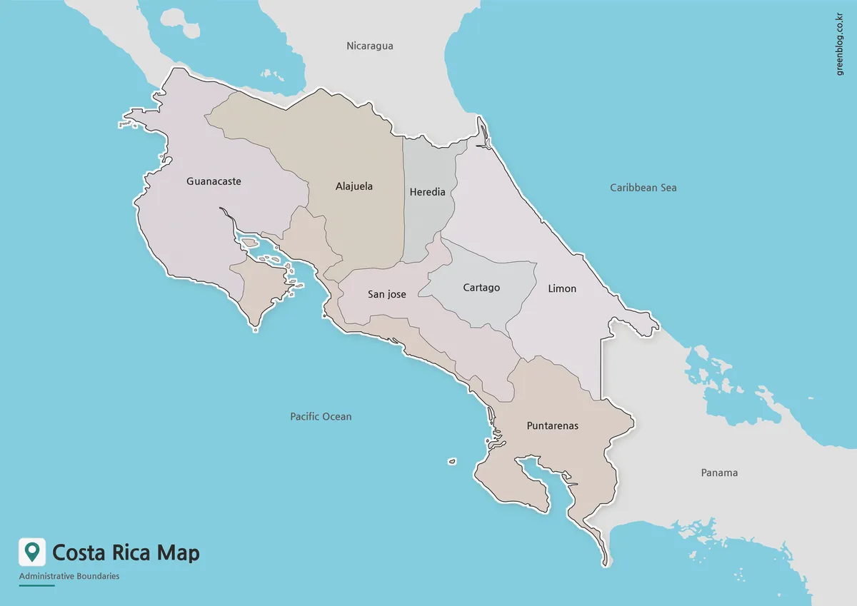
The color version separates Costa Rica’s administrative regions with distinct color areas. This is especially helpful because some regions have long or narrow shapes, including Puntarenas along the Pacific side. When these areas are shown in color, the country’s regional layout becomes easier to understand at a glance.
Neighboring countries such as Nicaragua and Panama are also included, giving the map better geographic context. This makes the color Costa Rica Map useful for blog posts, travel introductions, classroom slides, and Central America comparison materials. The bilingual label style also helps when the map is used for both Korean and English-language resources.
Designed for A3-size output, the color version can be used as a presentation-ready visual or as a reference image in online articles. The balance between region colors, labels, and coastline detail was adjusted so the map remains clear when enlarged on screen or inserted into a document.
Black and White Costa Rica Map for Printing
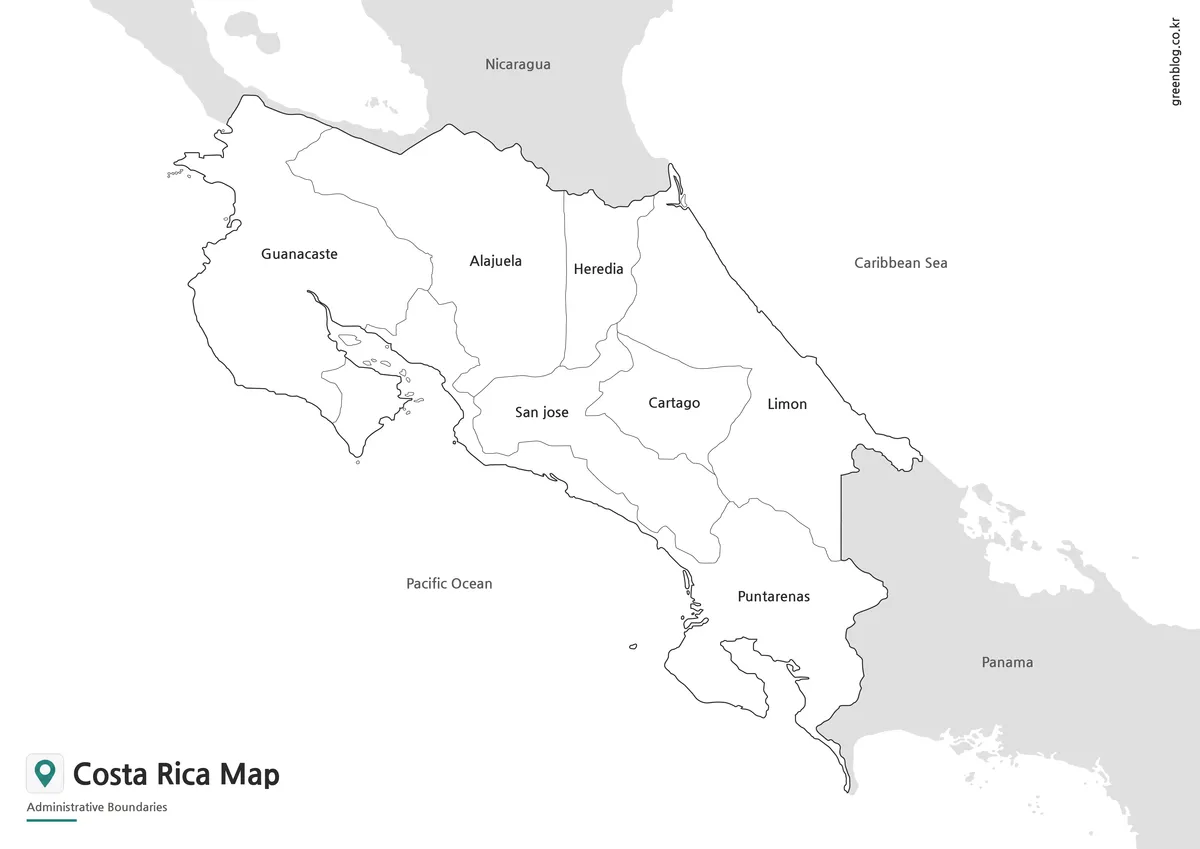
For printed materials, the black and white version provides a cleaner layout. Without regional colors, the labels and boundary lines stand out more clearly, which is useful for worksheets, classroom handouts, study notes, and reports.
Costa Rica’s compact shape means labels can feel crowded if the design is too heavy. The simplified black and white layout reduces visual noise and makes the map easier to read in documents. It also uses less ink than the color version, which can be useful when printing multiple copies for students or group activities.
This version is a good choice when the map needs to support written information rather than act as the main visual element. For example, it works well inside a country profile, a geography report, a travel planning sheet, or a printable study resource.
Blank Costa Rica Outline Map for Editing

The outline version removes colors and labels, leaving only the main boundary structure. This gives users a flexible base map for graphic editing, classroom activities, and custom visual projects.
A blank Costa Rica Map can be used to add travel routes, city markers, tourism points, population notes, agricultural regions, or presentation highlights. Teachers may also use it for coloring activities or map quizzes, while designers can place custom icons, labels, or data overlays on top of the boundary lines.
Because the blank version does not include text, it is easier to adapt for different languages and design styles. It can be used in infographic projects, educational worksheets, video graphics, or blog images where only the regional shape is needed.
Costa Rica Flag Image
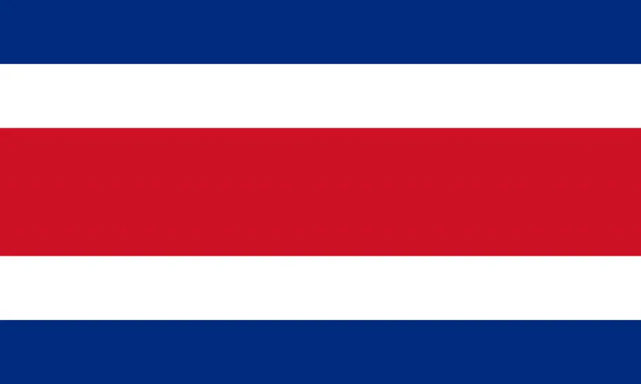
A Costa Rica flag image can be used together with the map when creating country introduction materials. The flag features blue, white, and red horizontal stripes with the national emblem. When placed beside the map, it helps readers connect the geographic location with the national symbol.
This is especially useful for educational slides, country comparison pages, travel guides, and classroom resources where both location and identity need to be shown visually.
Practical Uses for This Map Collection
This Costa Rica Map collection can be used in several types of projects:
- Classroom geography lessons
- Printable worksheets and study materials
- Travel presentation slides
- Central America comparison graphics
- Blog posts about Costa Rica or regional geography
- Infographic layouts
- Editable design projects
- Country profile pages
The color version is best when explaining regional differences visually. The black and white version is better for printing and written documents. The outline version works well when the user needs to add custom information.
Frequently Asked Questions
What does this Costa Rica Map show?
This Costa Rica Map focuses on regional boundaries, country placement, and basic geographic context. It does not include roads, buildings, or detailed street information.
Can I print the map in A3 size?
Yes. The map was prepared with A3-size use in mind, so it can be used for larger printed reference sheets, classroom materials, and presentation graphics.
Which version is best for classroom printing?
The black and white map is usually the best option for classroom printing because the labels and boundaries remain clear while using less ink.
Is the outline version editable?
Yes. The blank outline map is useful as a base image for editing, coloring, labeling, infographic work, and custom presentation graphics.
When should I use the color Costa Rica Map?
Use the color version when you need to show regional differences quickly, especially when explaining Costa Rica’s province layout or its position between Nicaragua and Panama.
Costa Rica Map Download
This download includes printable Costa Rica map versions prepared for classroom use, presentations, blog graphics, and editable design projects.
- Included Maps: Color map, black and white map, outline map
- Printable Size: A3
- File Format: Downloadable image files
- Intended Usage: Printing, education, presentations, infographic design, and editing
- Color Mode: Not specified
Related Maps
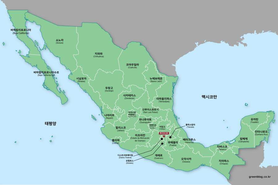
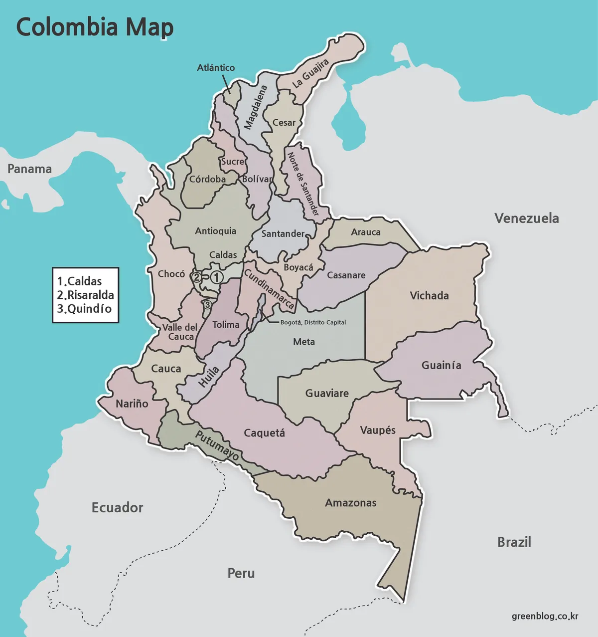
- Printable Colombia Map Set – Regional, Blank, and Black & White Versions
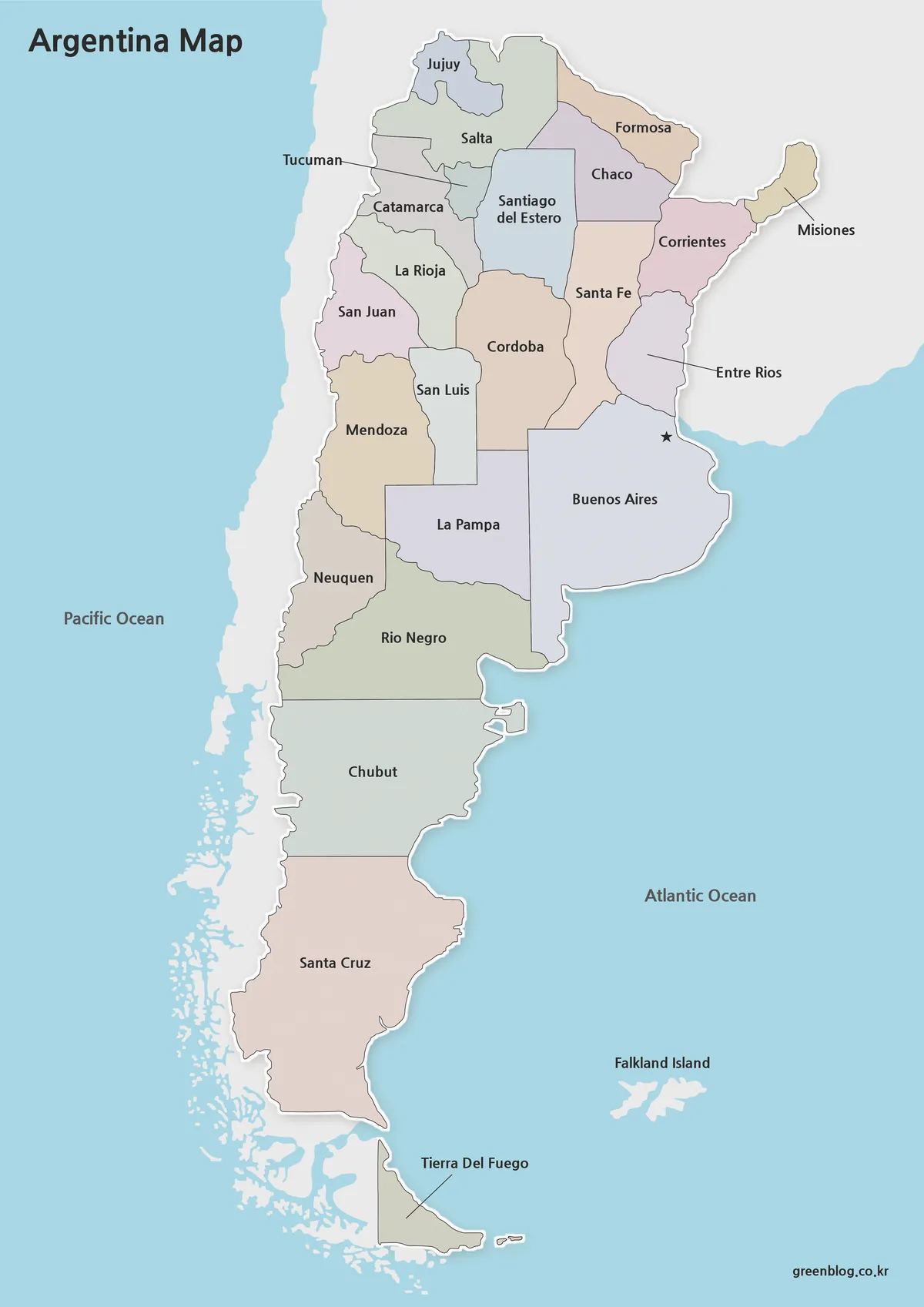
- Argentina Map Pack – Color, Blank and Printable A3 Maps
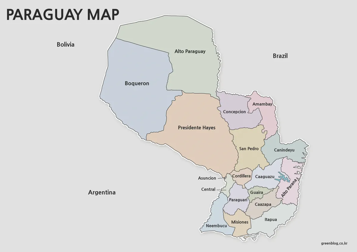
- Printable Paraguay Map Collection for Education and Design Projects
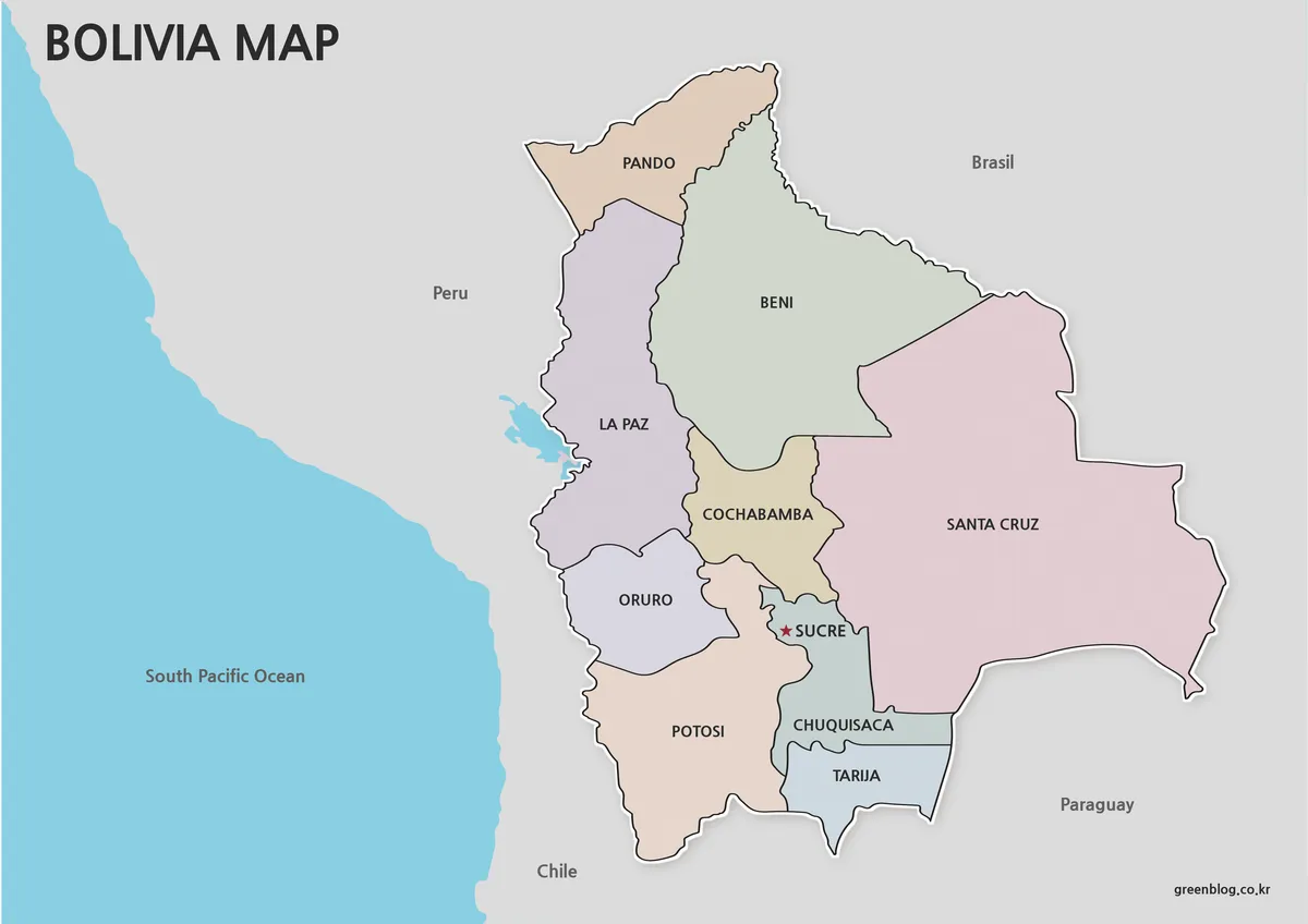
- Printable Bolivia Map Set – High-Resolution Maps for Education and Design
Additional Resources
- Costa Rica Maps – Visit Costa Rica : The official Costa Rica Maps page from Visit Costa Rica provides travel-focused map resources that can help readers explore regional destinations, routes, and major areas across the country.