
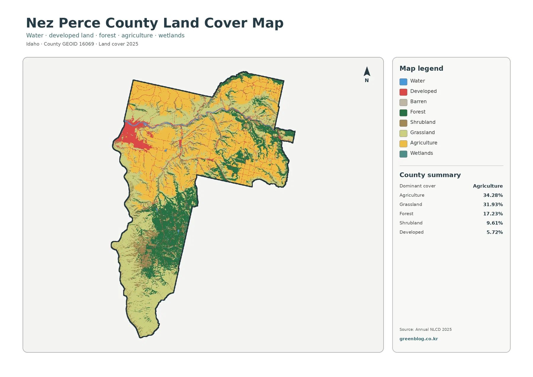
Nez Perce County Idaho Land Cover Map — Lewiston, River Corridors, and a Farm-Grass Mosaic
Nez Perce County has no single land-cover class that overwhelms the rest of the 2025 map. Agriculture accounts for 34.28% […]
Nez Perce County has no single land-cover class that overwhelms the rest of the 2025 map. Agriculture accounts for 34.28% […]
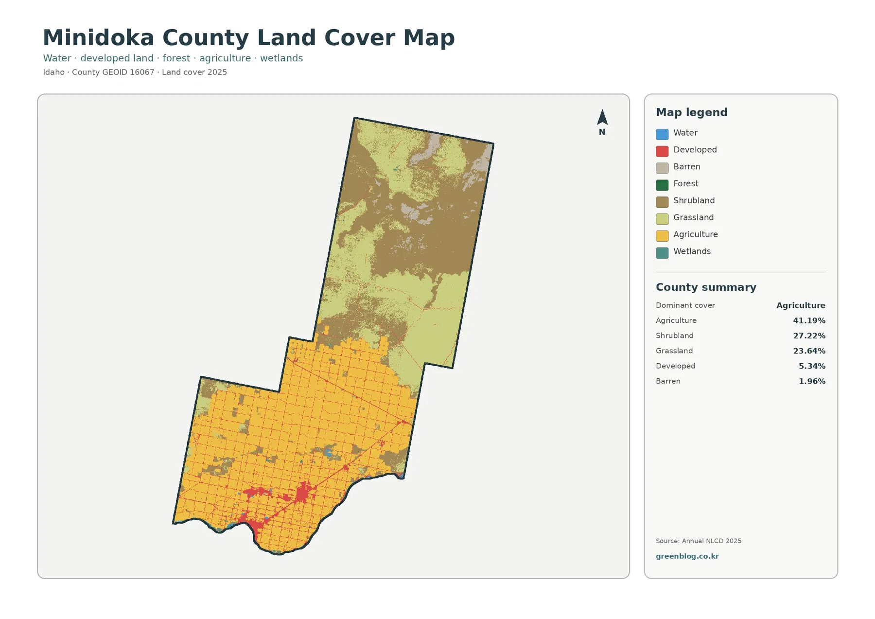
Minidoka County has a very clear 2025 land-cover split: a broad agricultural grid fills much of the southern county, while
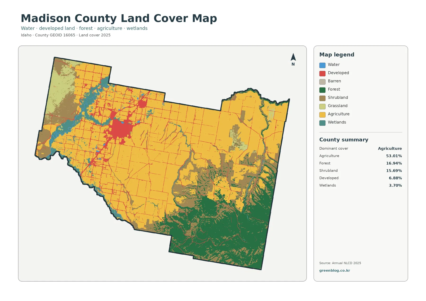
Madison County’s 2025 land-cover pattern is dominated by a broad agricultural plain, while forest and shrubland become much more prominent
Madison County Idaho Land Cover Map — Rexburg Farm Plain and Forested Southeast Read More »
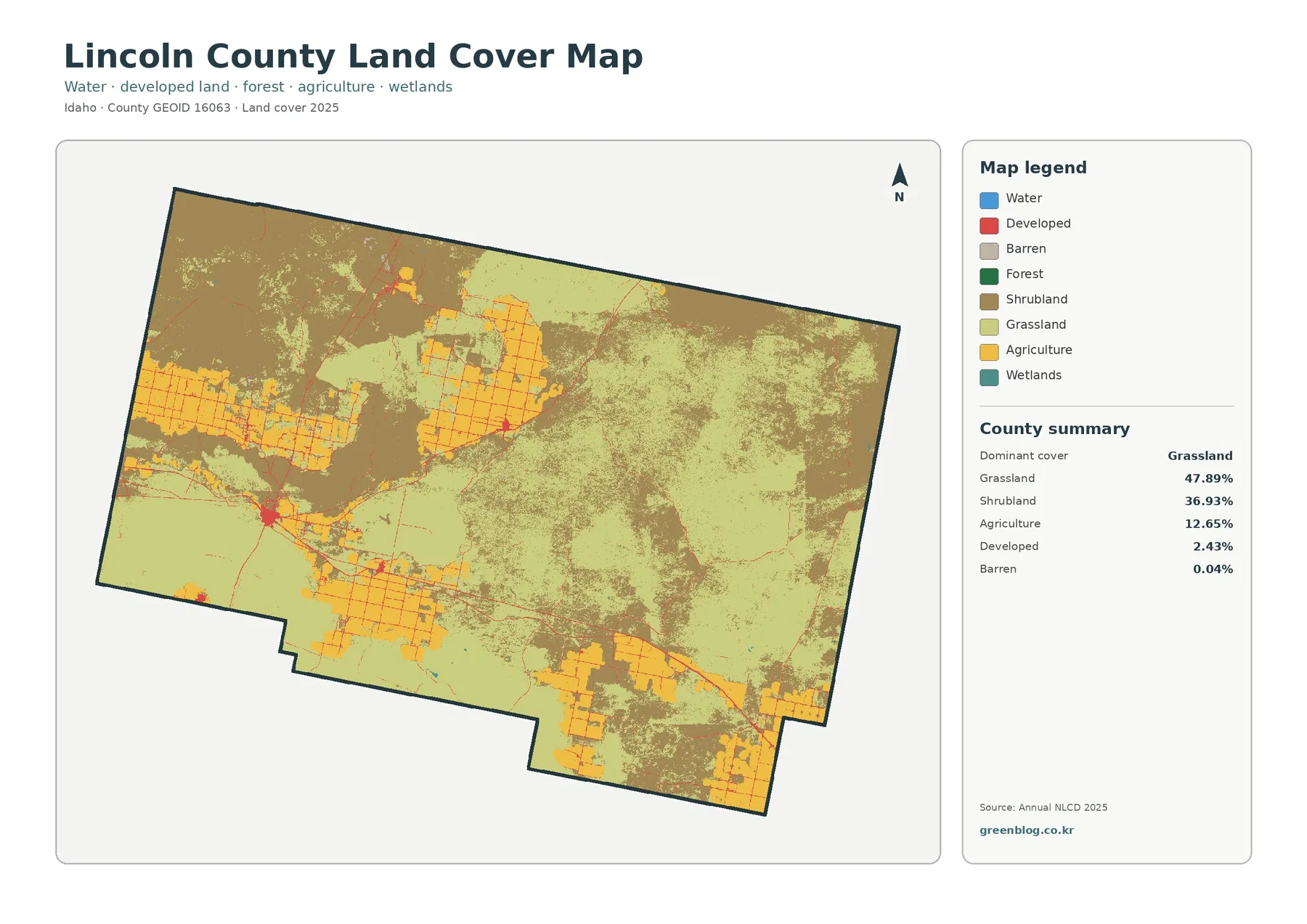
Lincoln County, Idaho is dominated by open cover in the 2025 land-cover summary. Grassland accounts for 47.89% of the county
Lincoln County Idaho Land Cover Map — Grassland, Shrubland, and Irrigated Farm Blocks Read More »
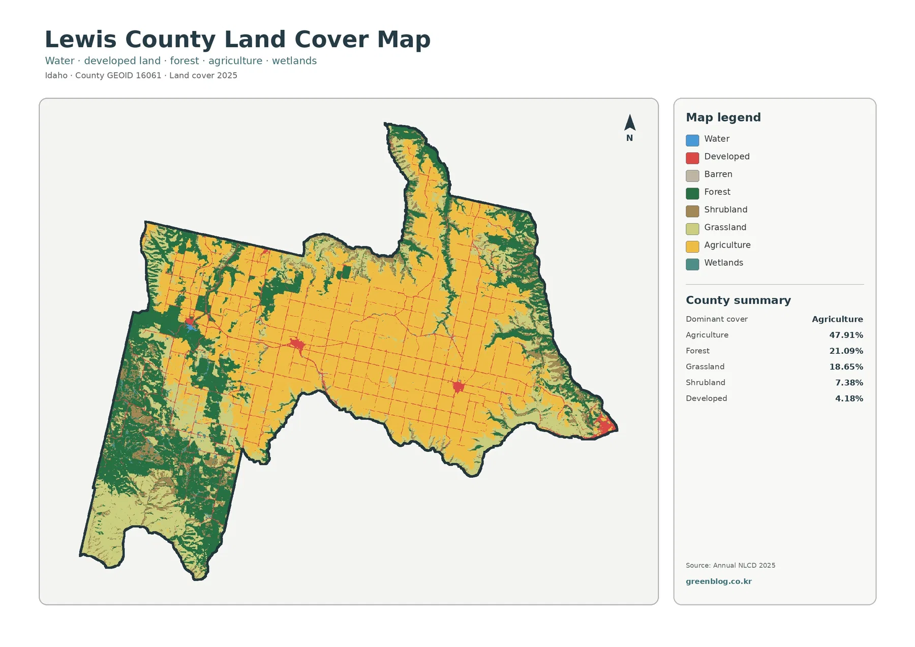
Lewis County in north-central Idaho is dominated by working land rather than one continuous natural-cover type. The 2025 land-cover summary
Lewis County Idaho Land Cover Map — Camas Prairie Farms and Forested Canyon Margins Read More »
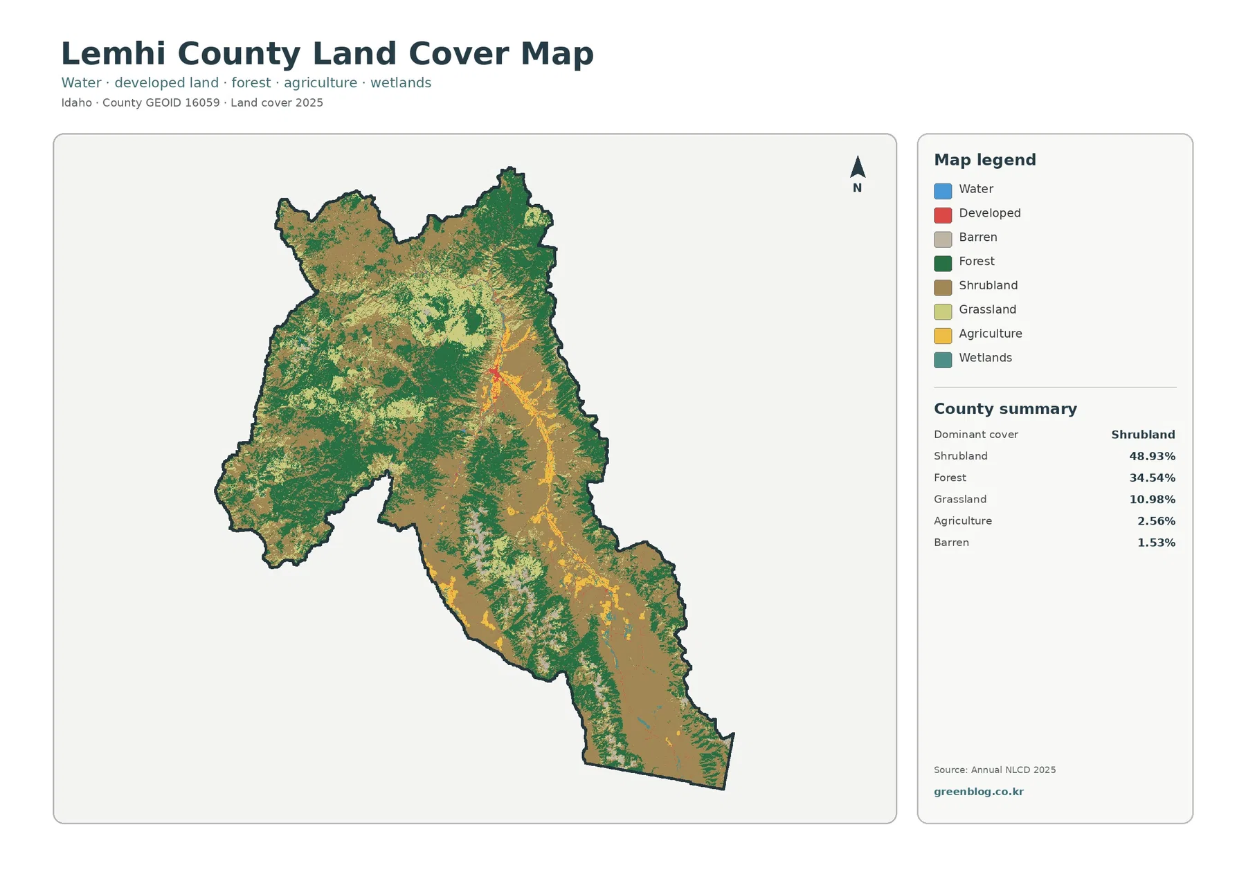
Lemhi County is visually dominated by two broad surface types: open shrub-covered country and large forested mountain areas. The 2025
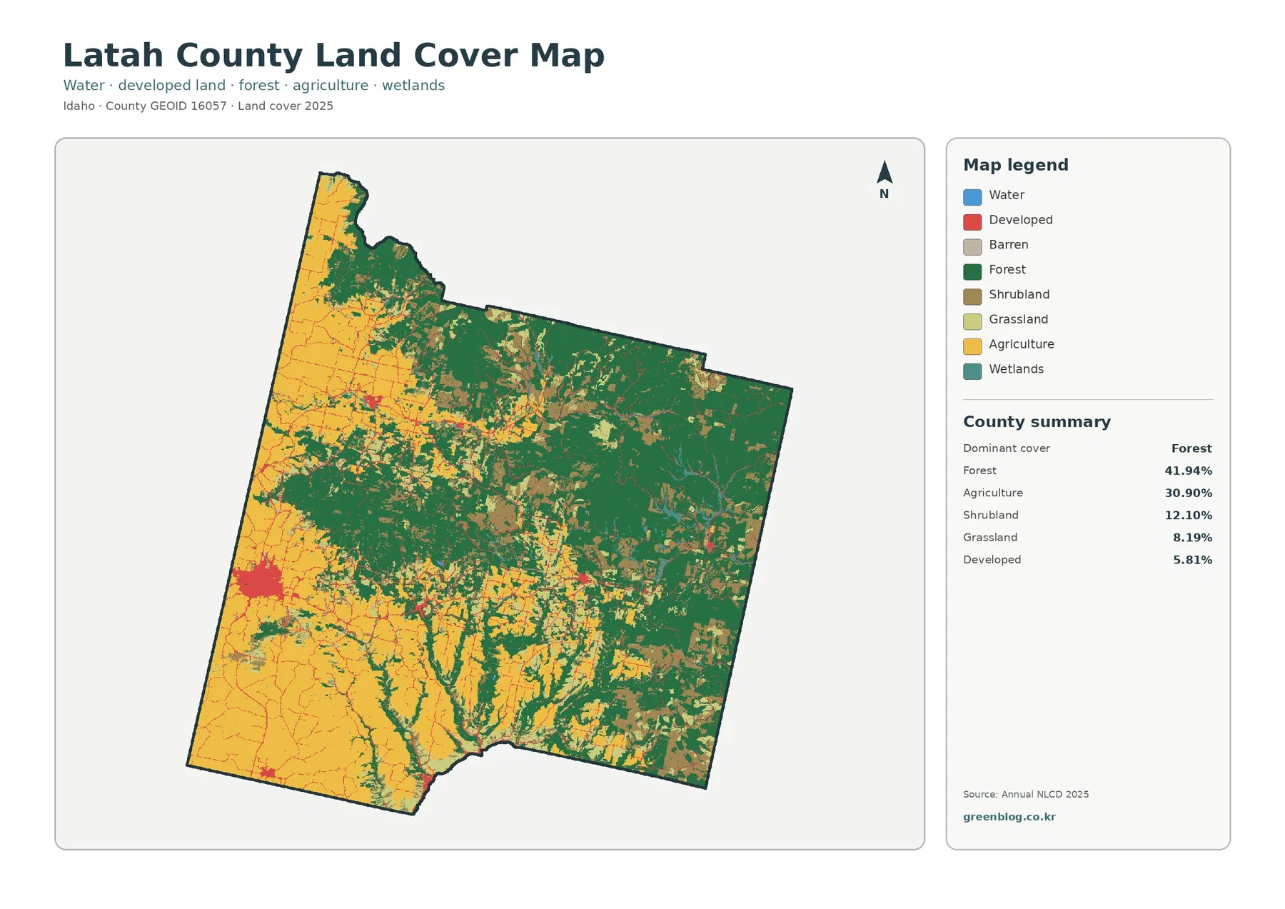
Latah County sits in northern Idaho where the cultivated Palouse meets a much more forested eastern landscape. The 2025 land-cover
Latah County Idaho Land Cover Map — Palouse Cropland Beside Forested Eastern Country Read More »
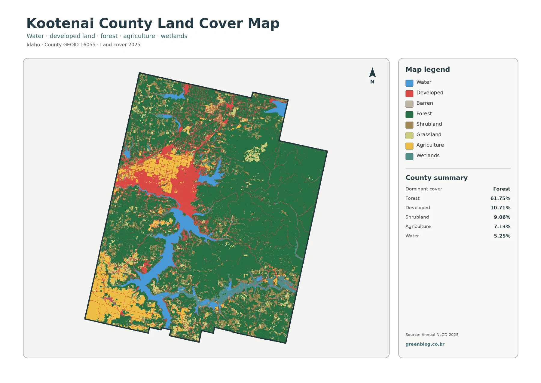
Kootenai County has one of the clearest land-cover contrasts in northern Idaho: a heavily forested eastern and southern landscape, a
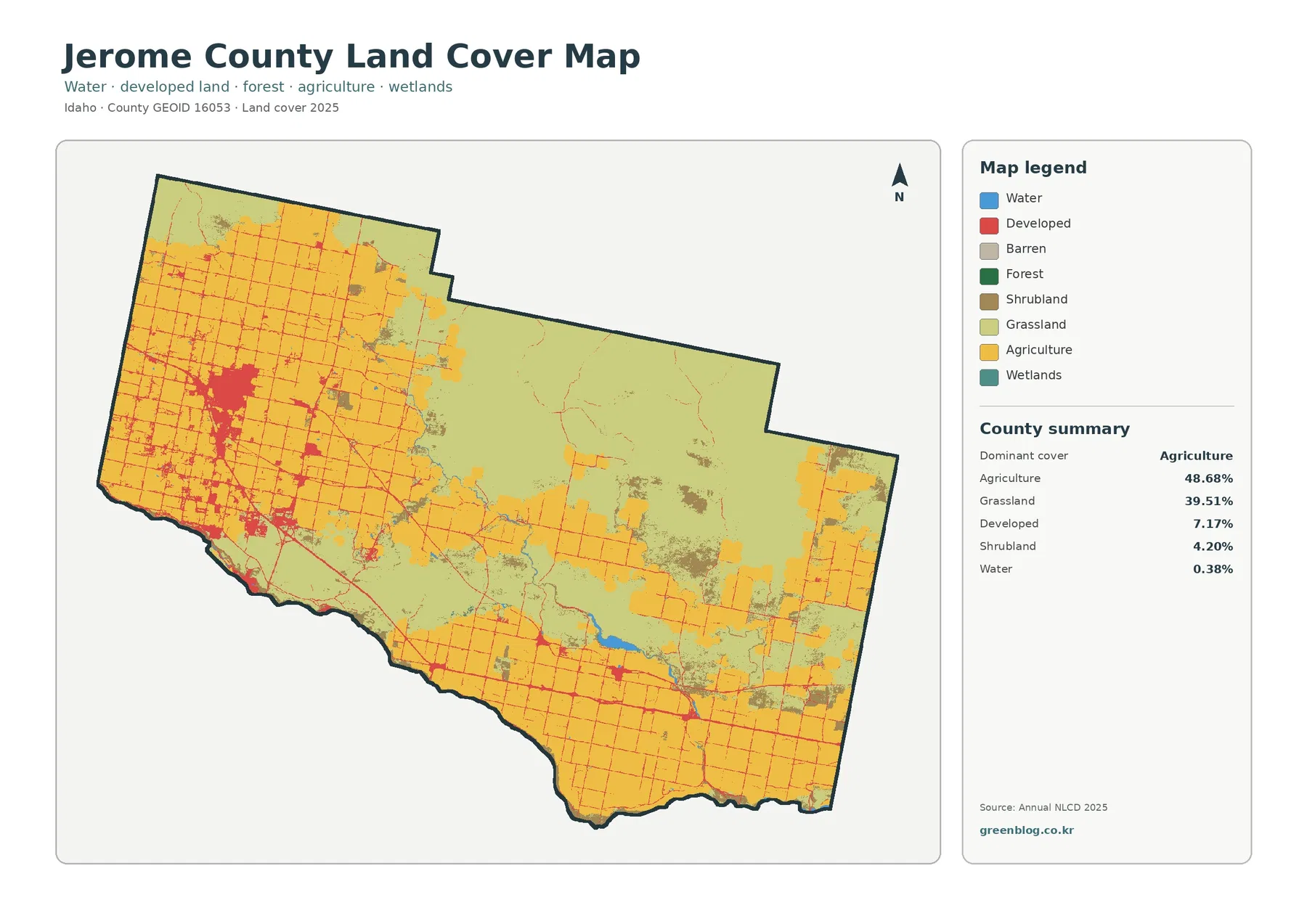
The four maps on this page cover Jerome County in south-central Idaho from different angles: present-day land cover, agriculture and