
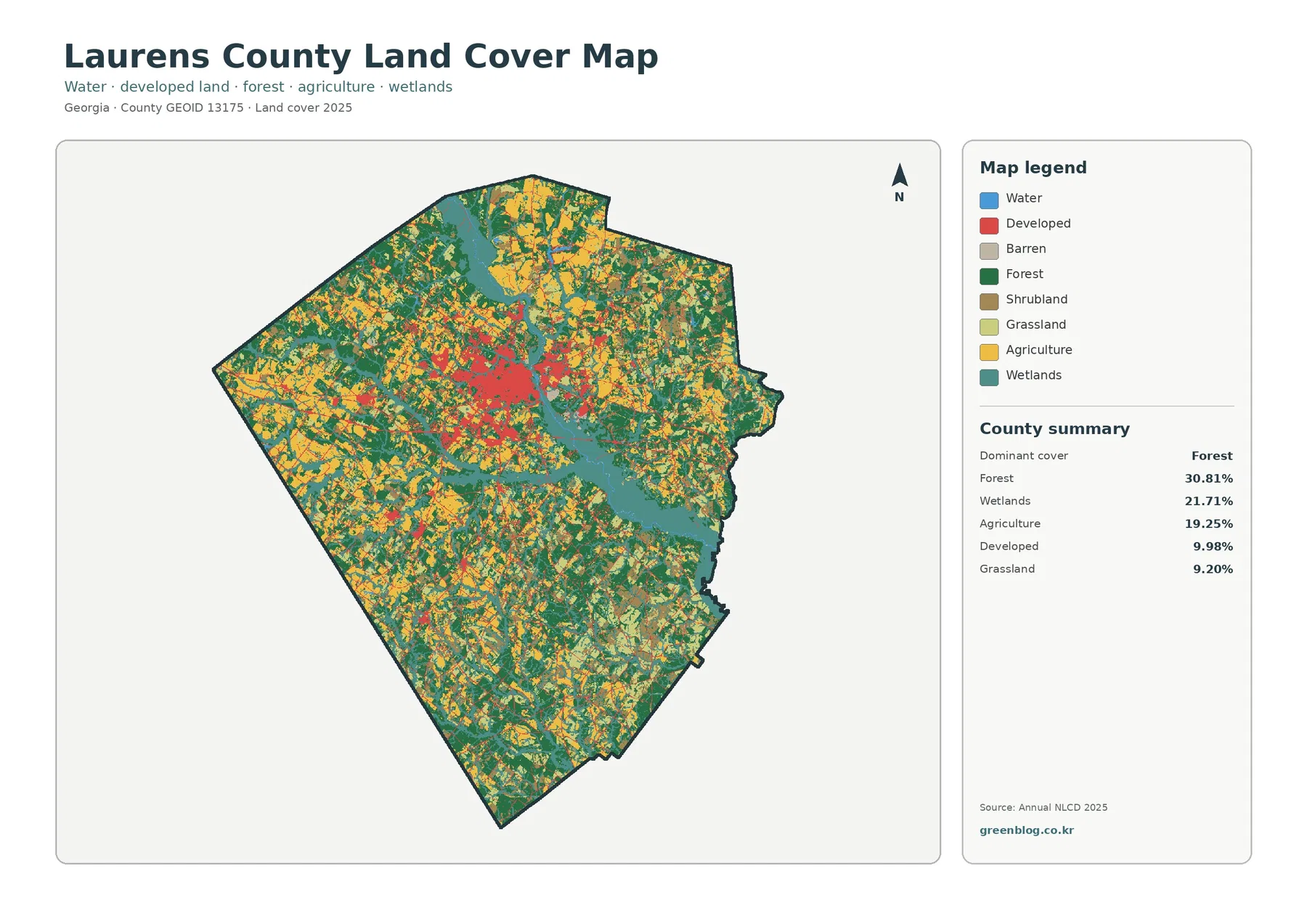
Laurens County Georgia Land Cover Map | Dublin Beside a Broad Wetland Corridor and Mixed Rural Cover
Laurens County has no single land-cover class that overwhelms the rest of the 2025 map. Forest leads at 30.81%, wetlands […]
Laurens County has no single land-cover class that overwhelms the rest of the 2025 map. Forest leads at 30.81%, wetlands […]
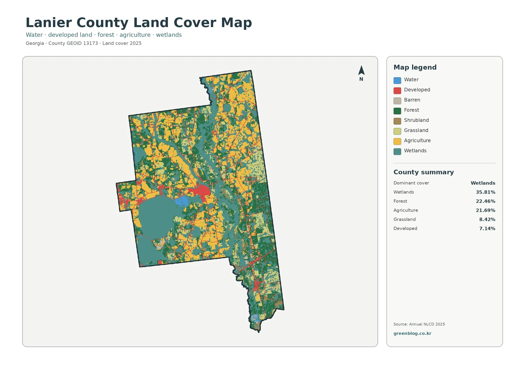
Wetlands are the largest land-cover class in the supplied 2025 Lanier County data at 35.81%. Forest follows at 22.46%, agriculture
Lanier County Georgia Land Cover Map | Banks Lake and a 35.81% Wetland Landscape Read More »
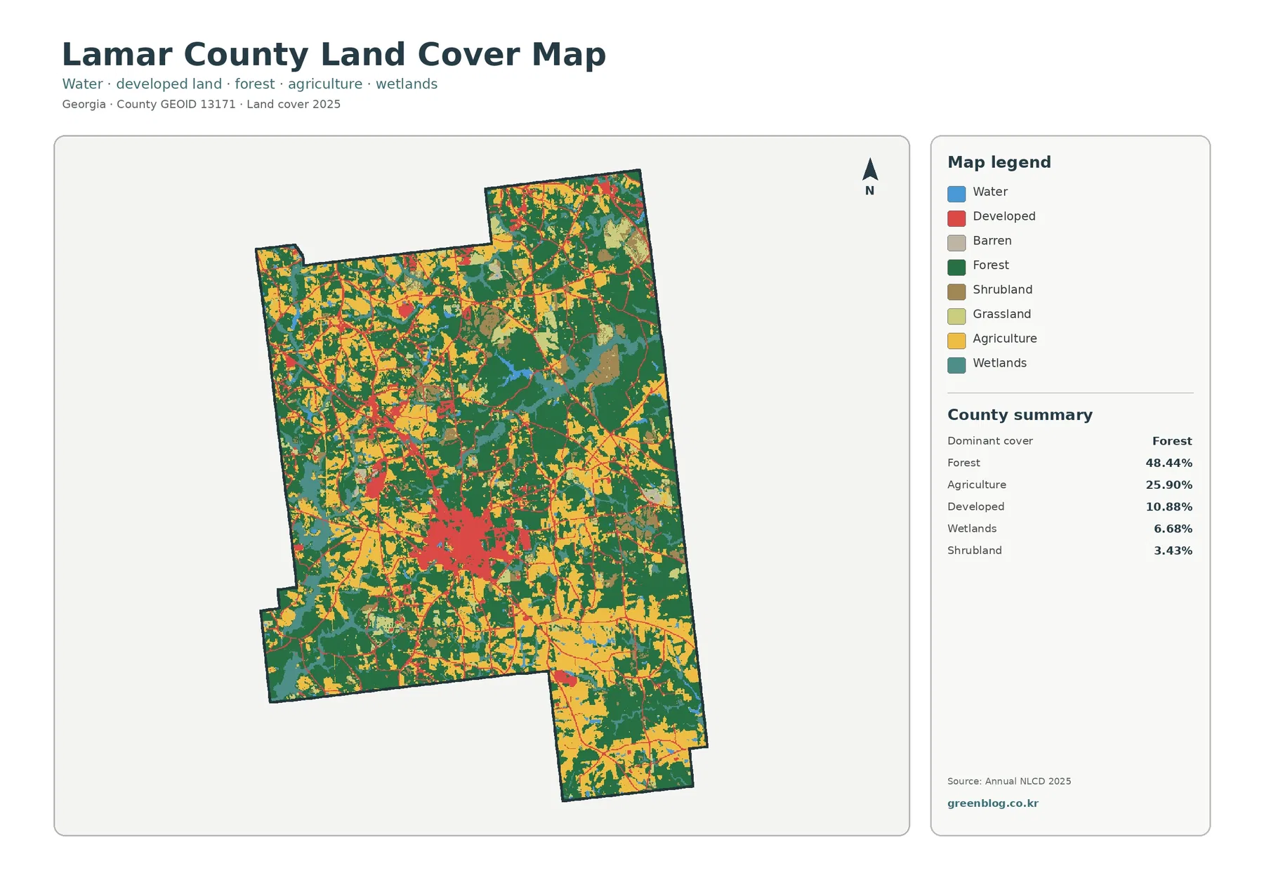
Forest and agriculture account for most of Lamar County in the supplied 2025 data. Forest covers 48.44%, agriculture 25.90%, and
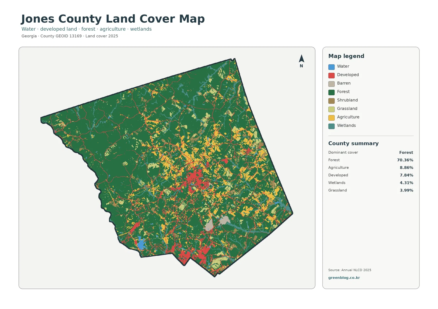
Forest is the defining surface in the supplied 2025 Jones County data. It covers 70.36% of the county, while agriculture
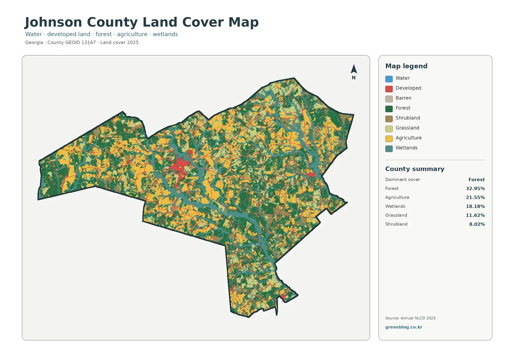
Forest is the largest mapped cover in Johnson County in the supplied 2025 summary, but the county is not a
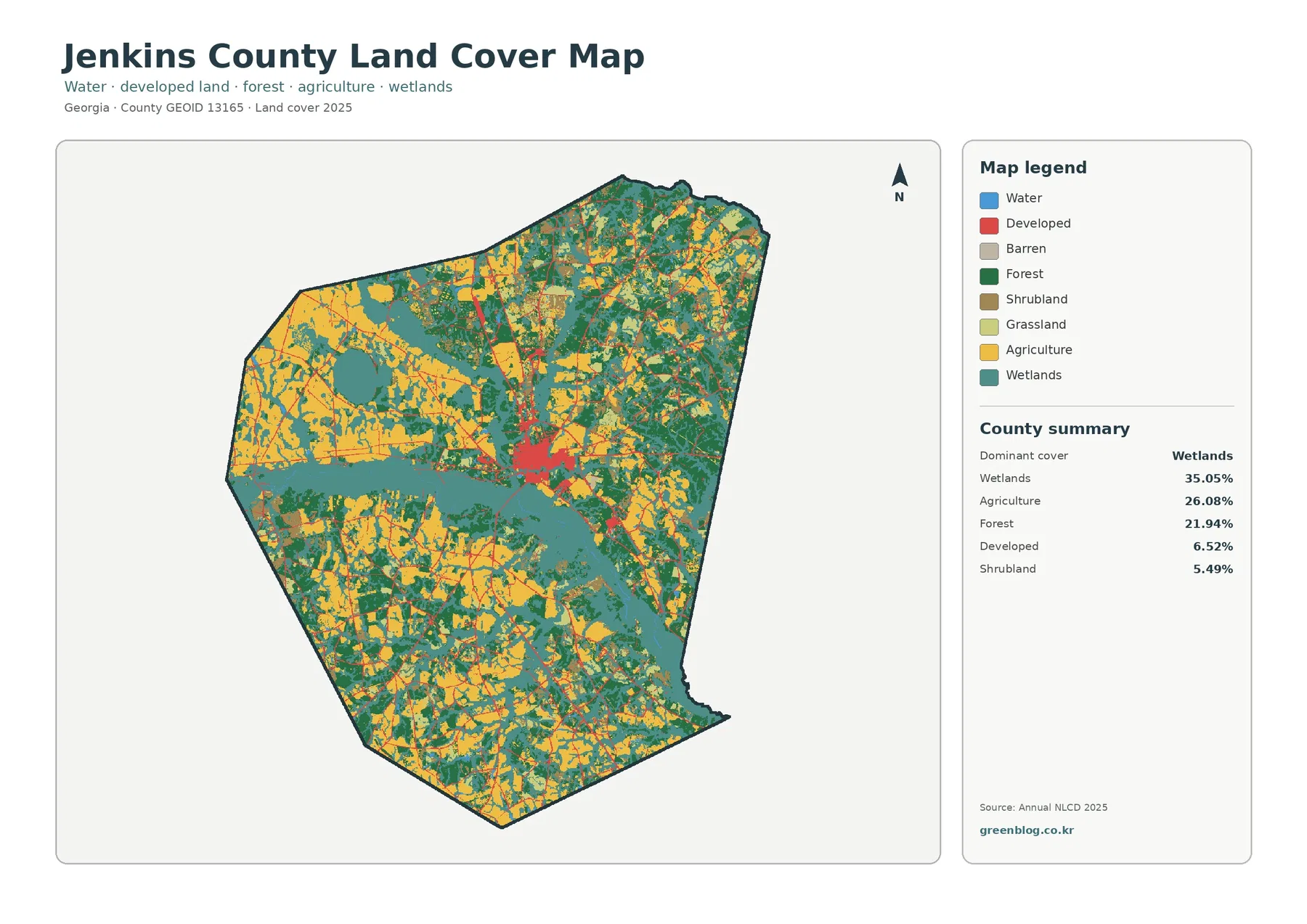
Wetlands are the largest mapped cover in Jenkins County at 35.05% in the supplied 2025 summary. Agriculture follows at 26.08%
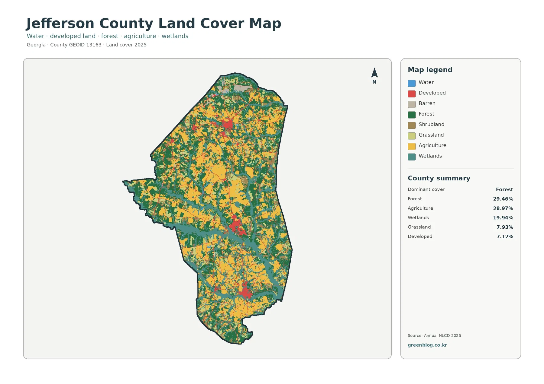
Forest and agriculture occupy almost equal shares of Jefferson County in the supplied 2025 summary: 29.46% forest and 28.97% agriculture.
Jefferson County Georgia Land Cover Map | Forest, Farm Blocks, and Wet Corridors Read More »
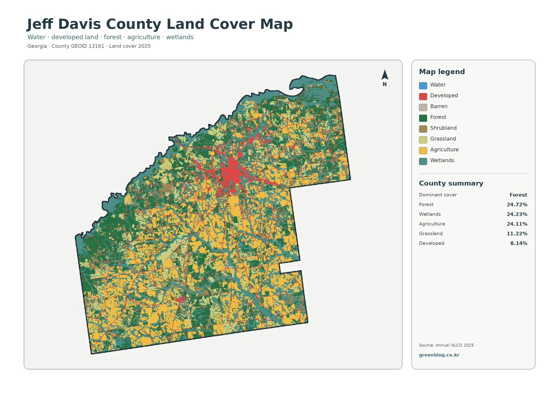
Forest, wetlands, and agriculture each cover about one quarter of Jeff Davis County in the supplied 2025 summary. Forest leads
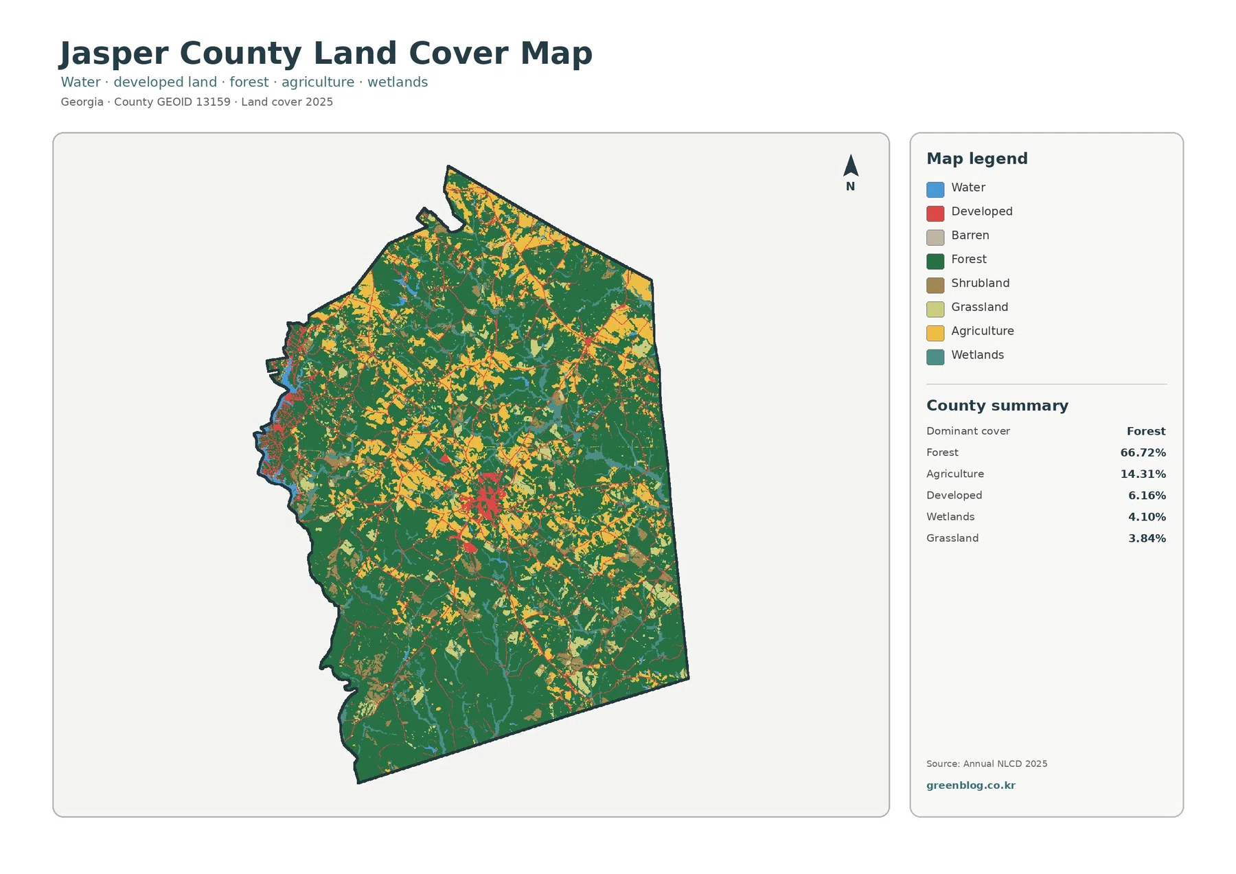
Jasper County, Georgia is strongly forested in the 2025 land-cover summary. Forest accounts for 66.72% of the county, while agriculture