
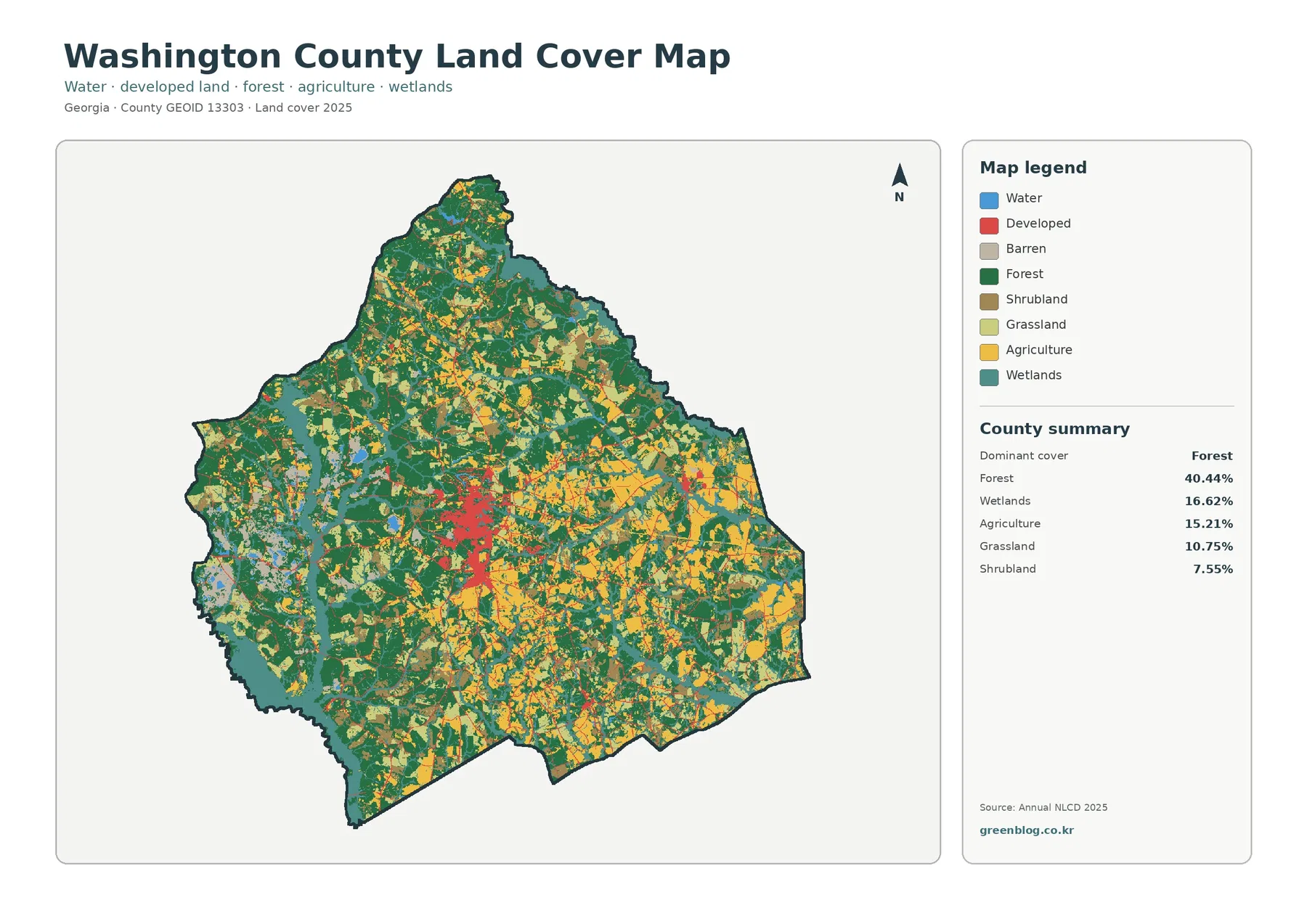
Washington County Georgia Land Cover Map — Sandersville Core Among Forest, Wetlands, and Farms
Washington County in east-central Georgia has a mixed 2025 surface rather than one land-cover type overwhelming nearly everything else. The […]
Washington County in east-central Georgia has a mixed 2025 surface rather than one land-cover type overwhelming nearly everything else. The […]
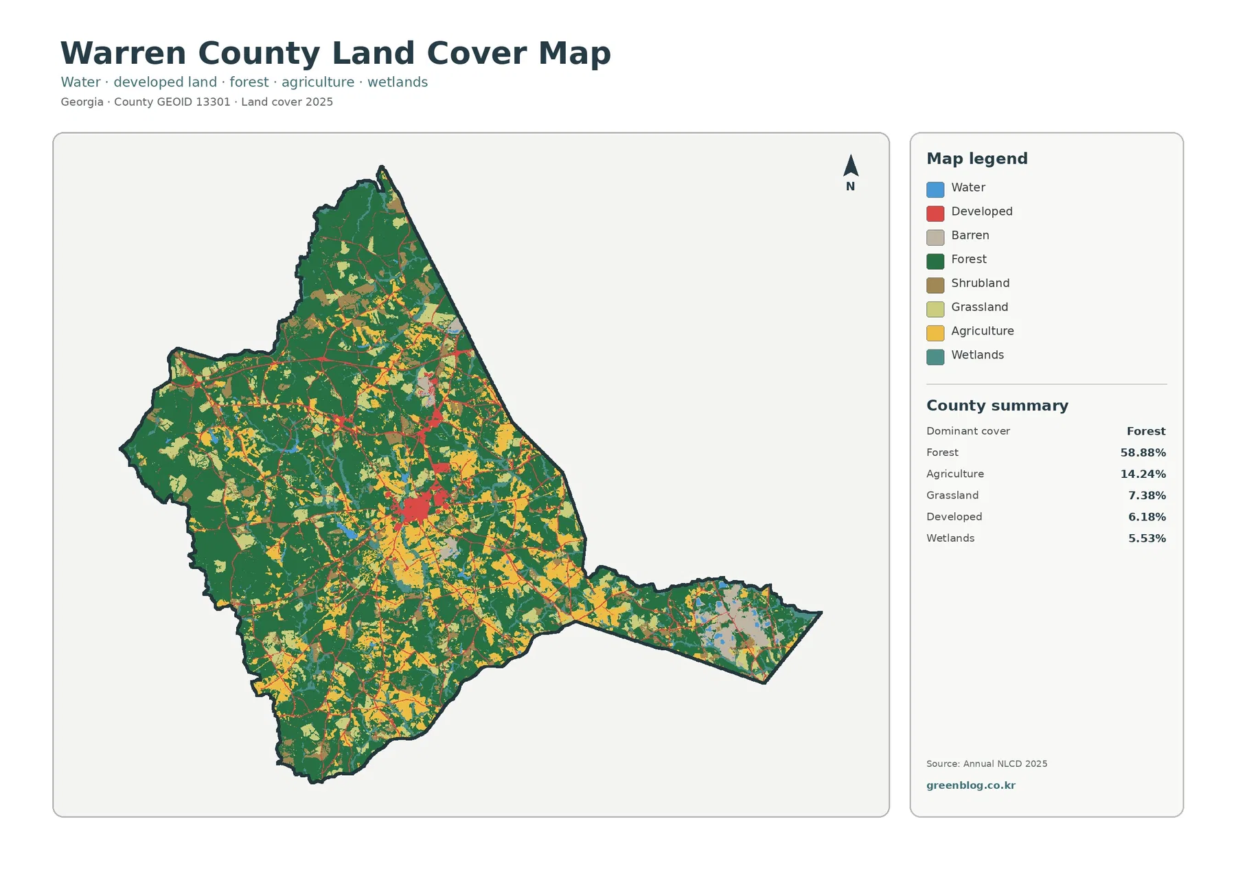
Warren County is predominantly wooded in the supplied 2025 classification, yet the map becomes much more varied around its central
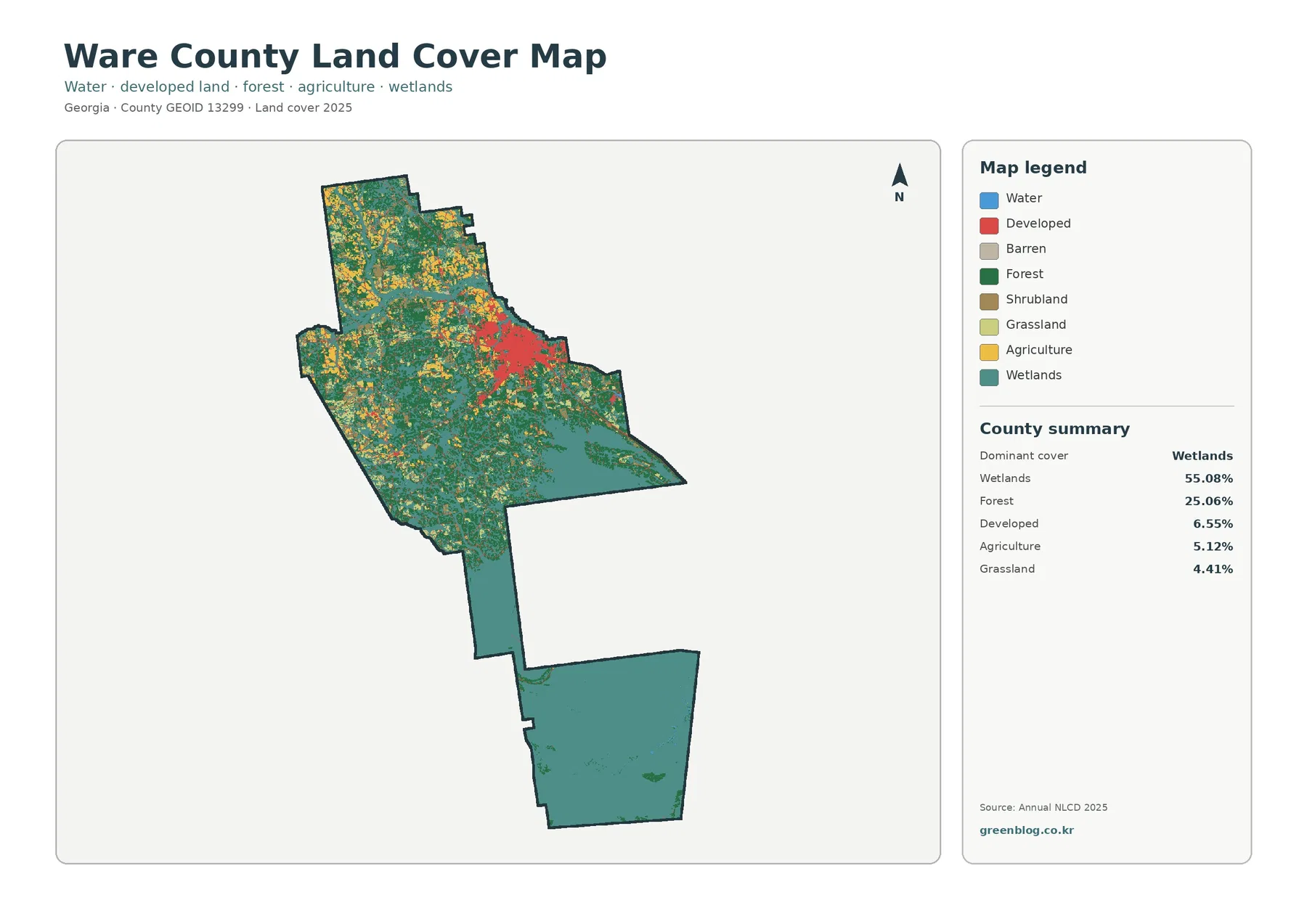
Wetlands dominate the 2025 land-cover picture of Ware County in southeast Georgia. They account for 55.08% of the supplied county
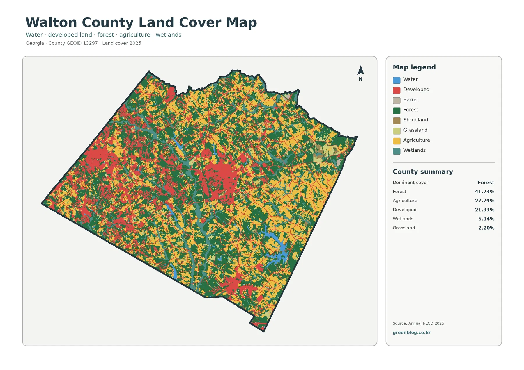
Walton County does not read as a single-purpose rural or suburban landscape on the supplied 2025 maps. Forest is the
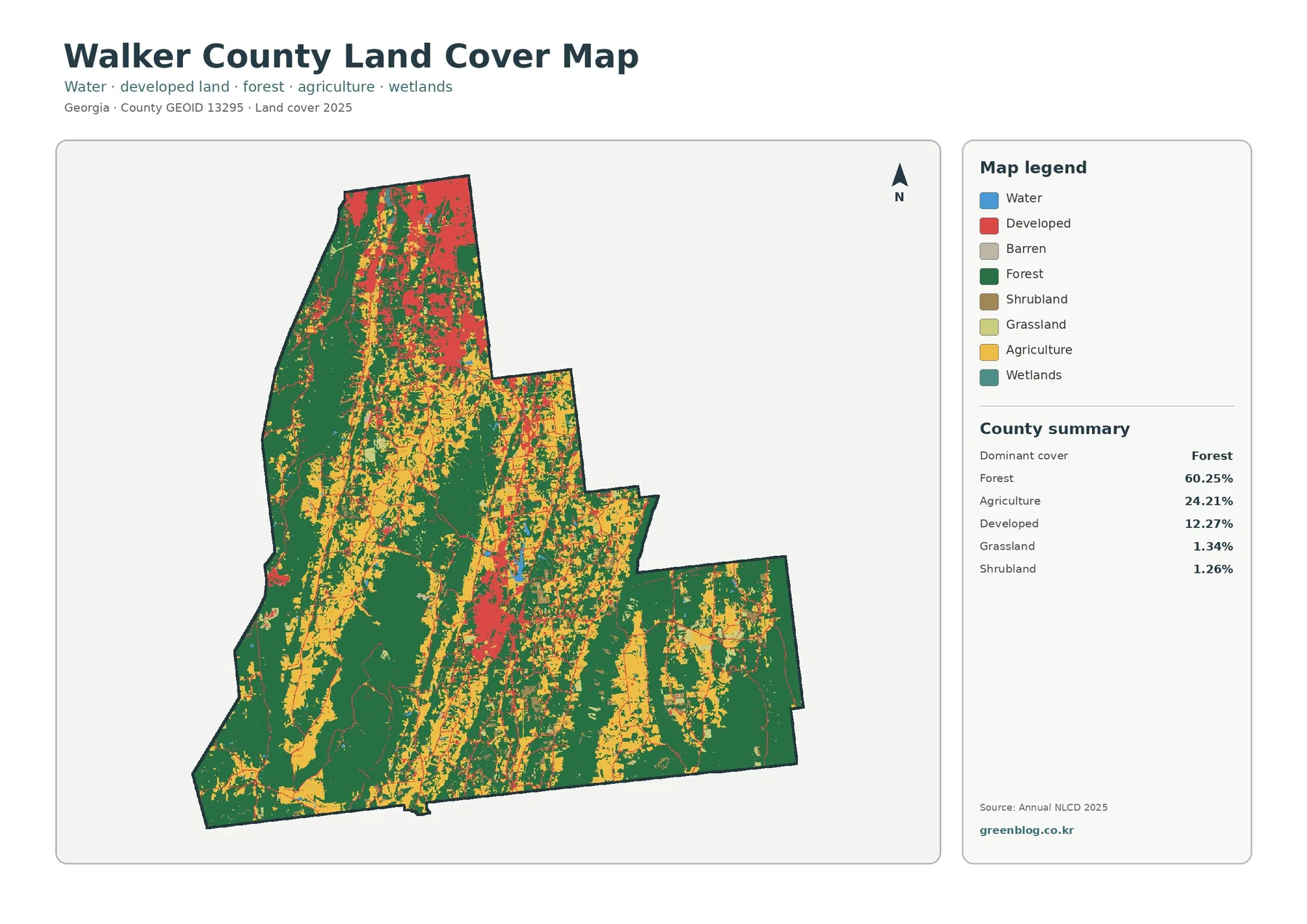
Forest covers most of Walker County in the supplied 2025 land-cover summary, accounting for 60.25% of the county. Agriculture adds
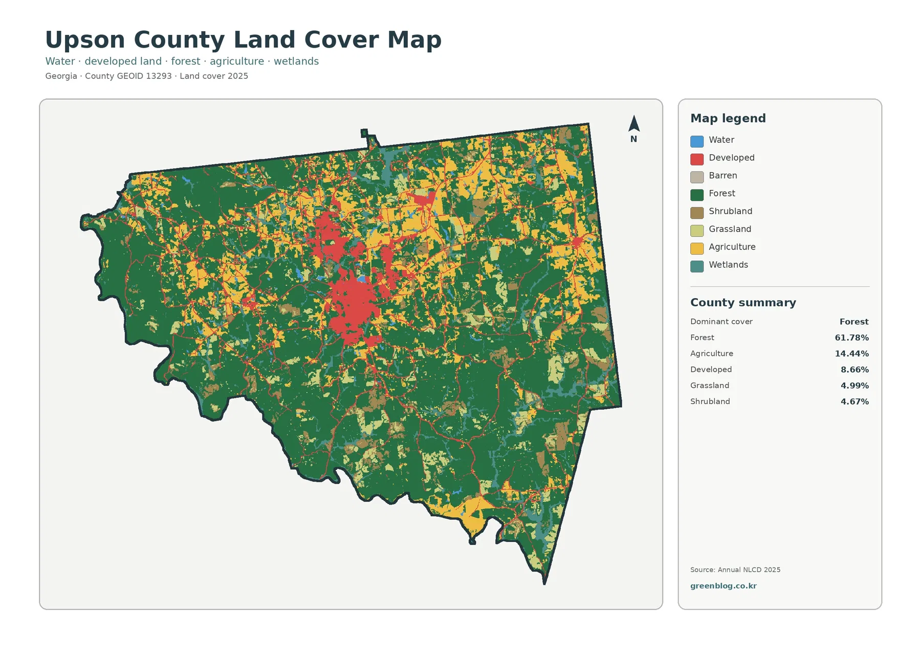
Forest covers most of Upson County in the supplied 2025 data, but the county does not read as one continuous
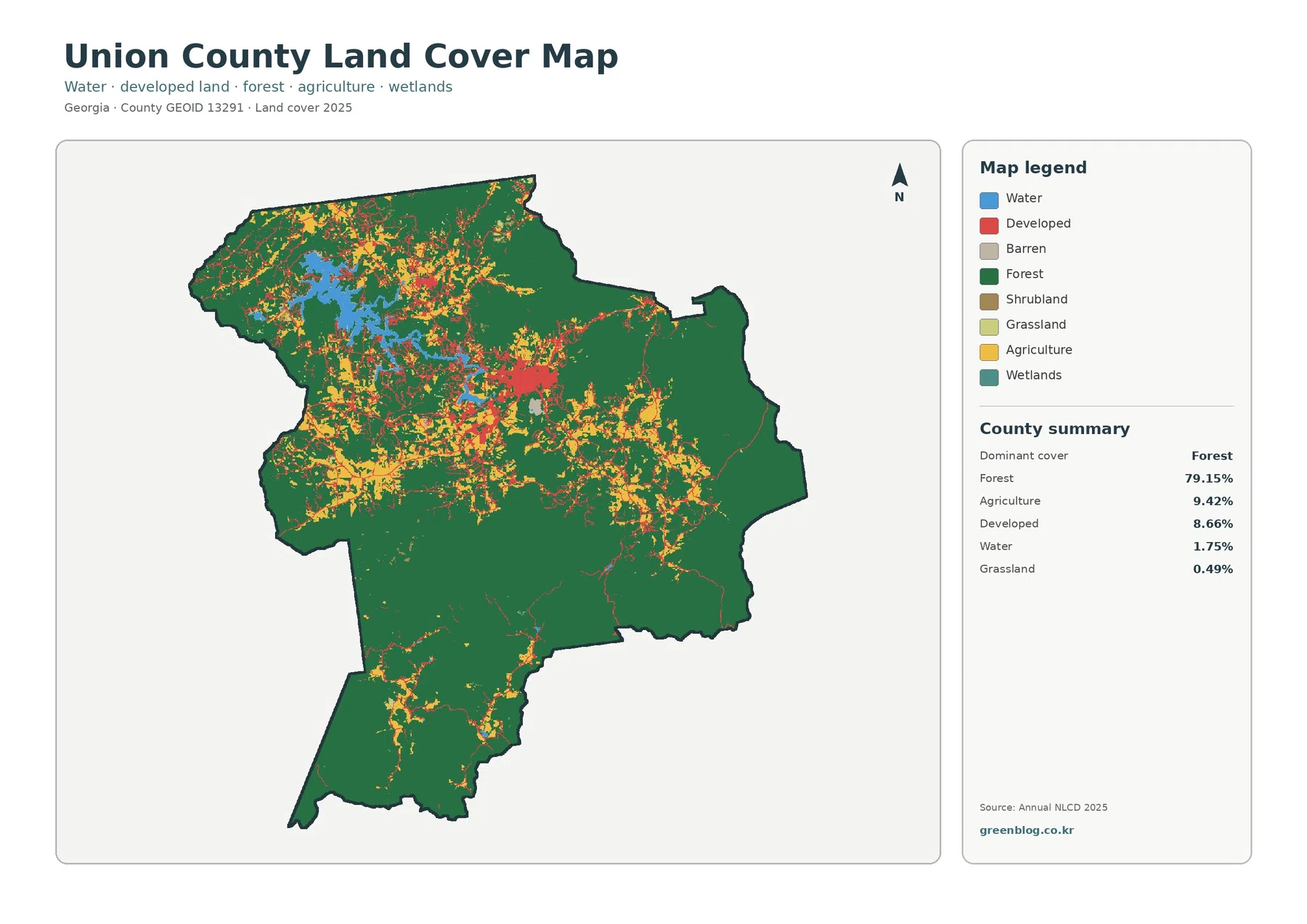
Forest is the defining surface in the supplied 2025 Union County Georgia Land Cover Map. It covers 79.15% of the
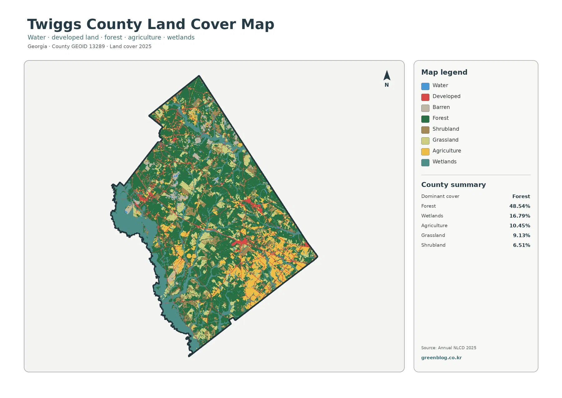
Nearly half of Twiggs County is mapped as forest in the 2025 land-cover summary. Forest accounts for 48.54%, while wetlands
Twiggs County Georgia Land Cover Map | Forests, River Wetlands & JPG Download Read More »
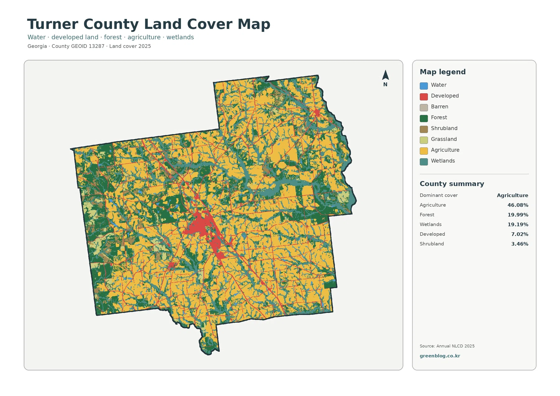
Turner County has a distinctly agricultural 2025 land-cover pattern, but the county is not a solid block of farmland. Agriculture