
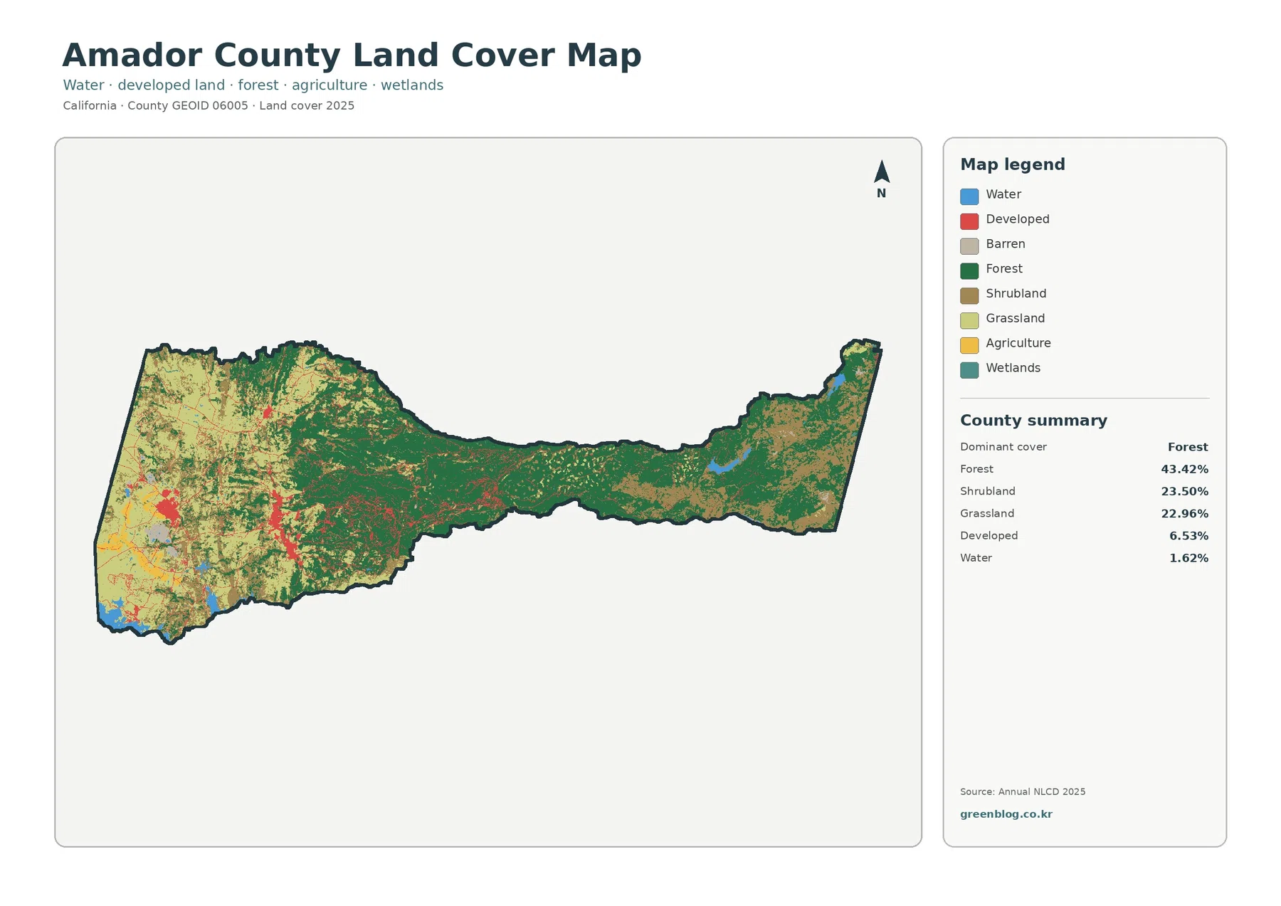
Amador County California Land Cover Map | 43.42% Forest and a 1.39% Mean Impervious Surface
Amador County’s 2025 land-cover map shows a clear shift across its long east-west shape. Forest is the largest class at […]
Amador County’s 2025 land-cover map shows a clear shift across its long east-west shape. Forest is the largest class at […]
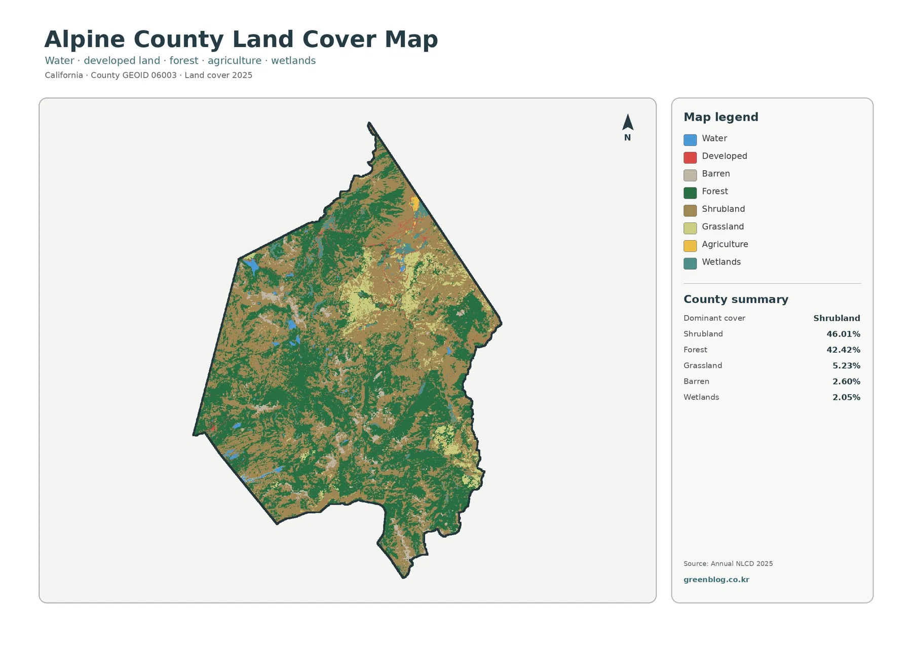
Alpine County’s 2025 land-cover map is dominated by two natural classes rather than by a large urban or agricultural footprint.
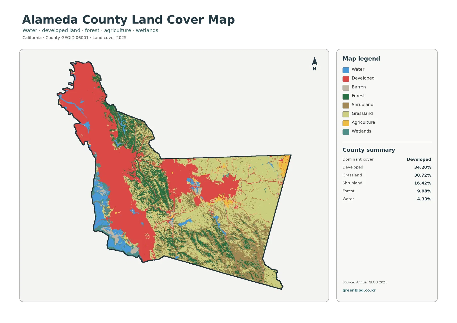
Alameda County’s 2025 land-cover pattern is defined by a sharp contrast between a heavily developed west and much more open