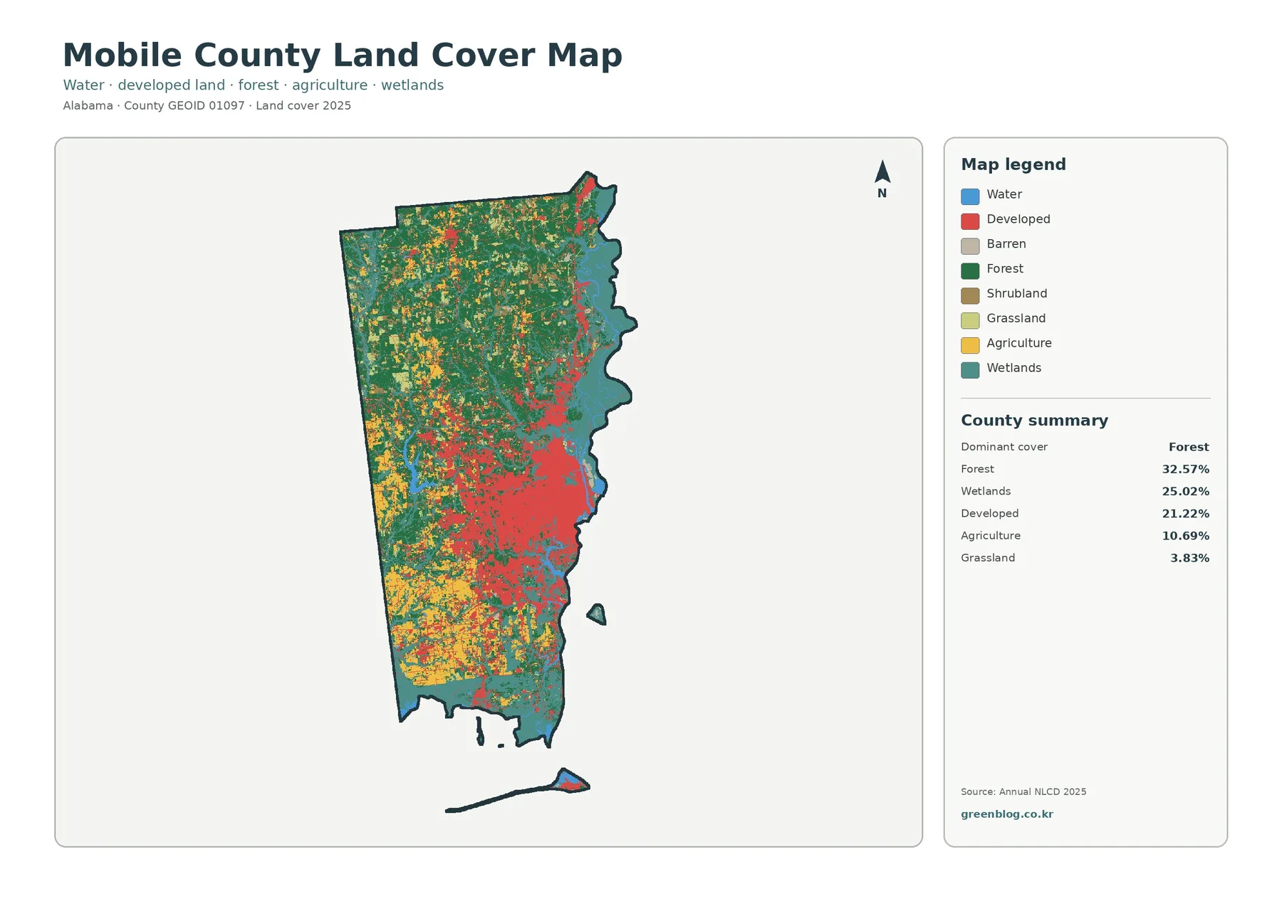
Mobile County Map | Port, Coast, and 21 Places
Mobile County is Alabama’s only major seaport county and the economic center of the state’s Gulf Coast. Mobile is the […]
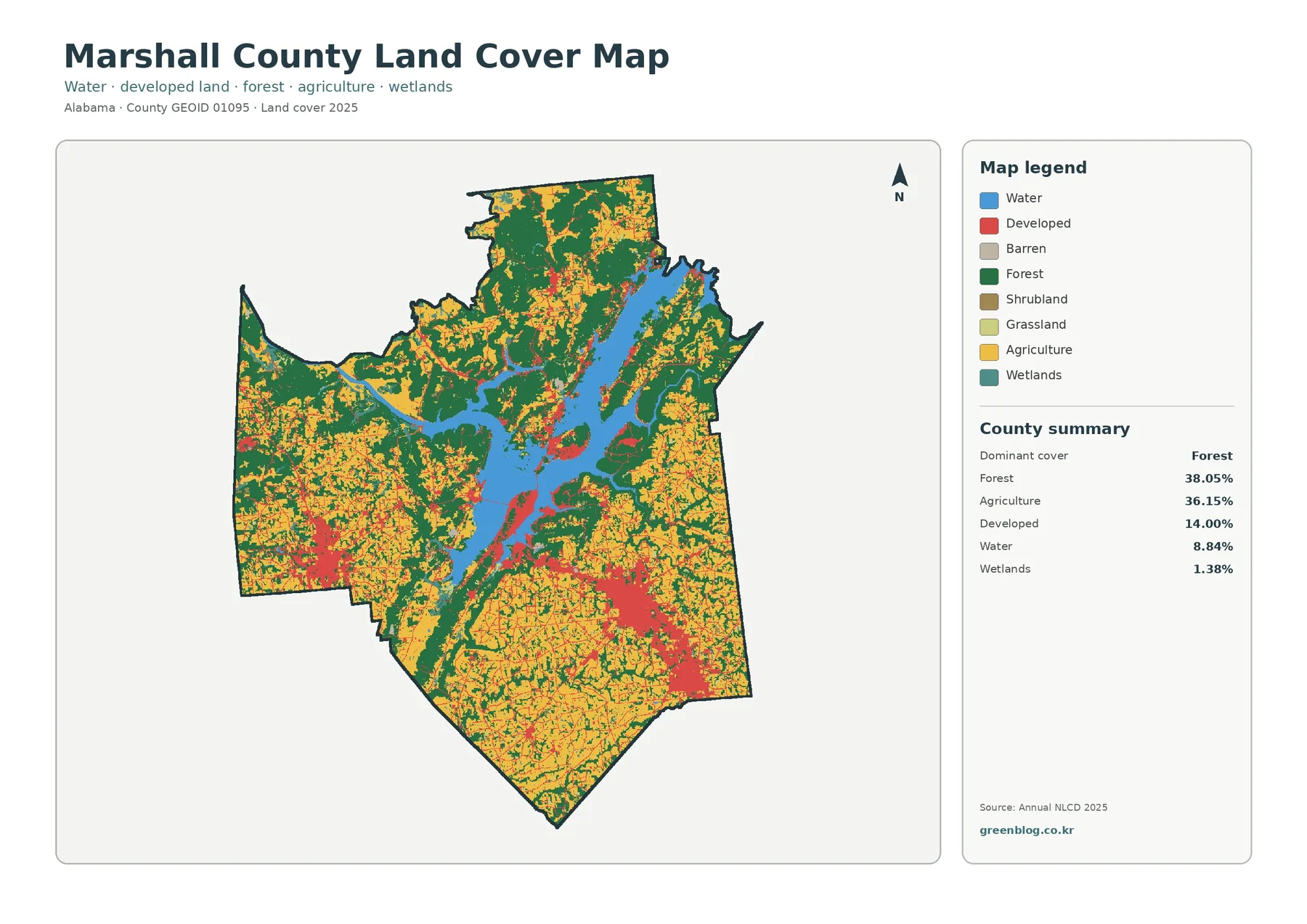
Marshall County combines the Lake Guntersville tourism economy with one of north Alabama’s strongest rural manufacturing bases. Guntersville is the
Marshall County Map | Guntersville, Albertville, and 10 Places Read More »
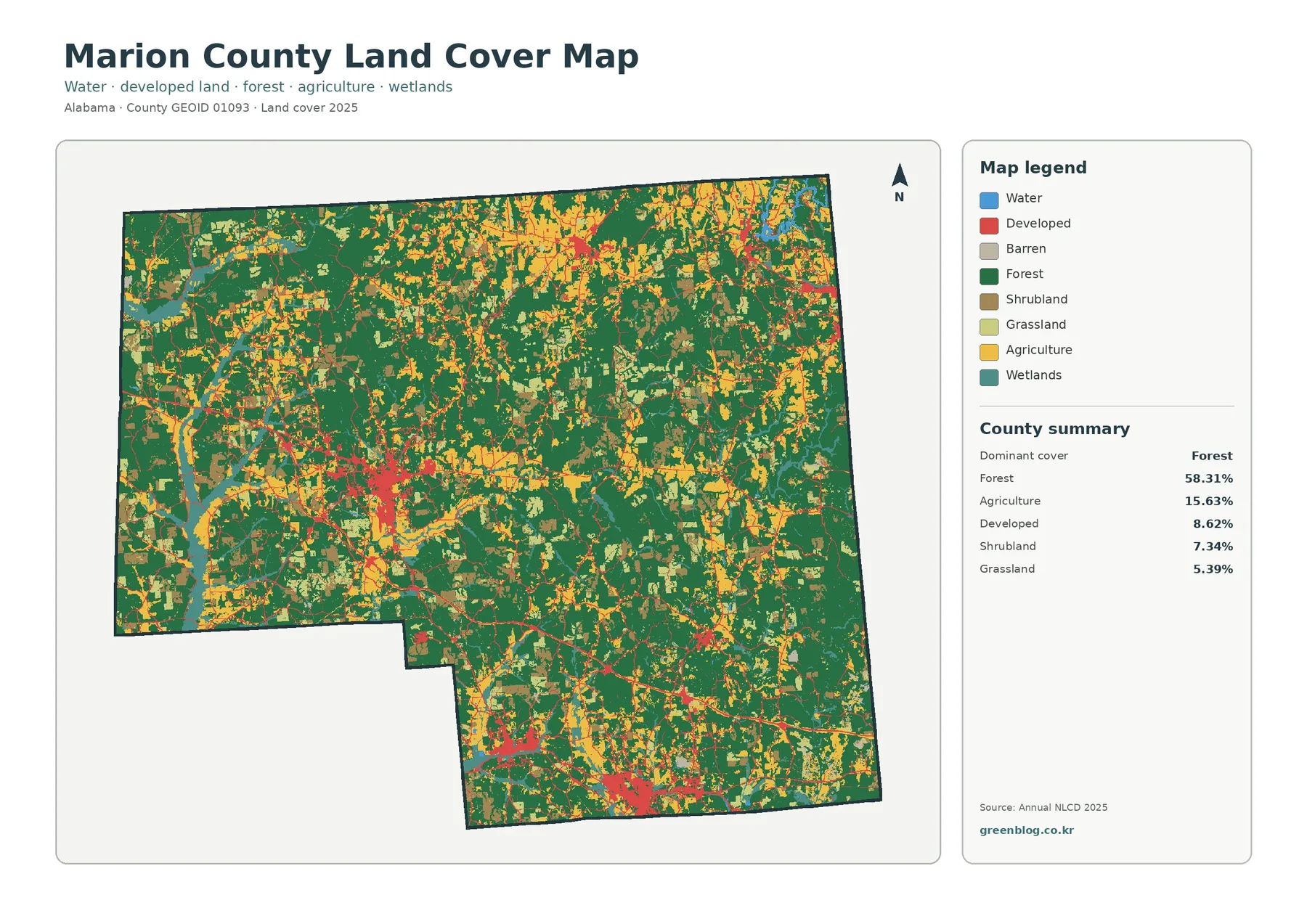
Marion County is a rural manufacturing and forest county on Alabama’s Mississippi border. Hamilton is the county seat and largest
Marion County Map | Hamilton, Winfield, and 10 Places Read More »
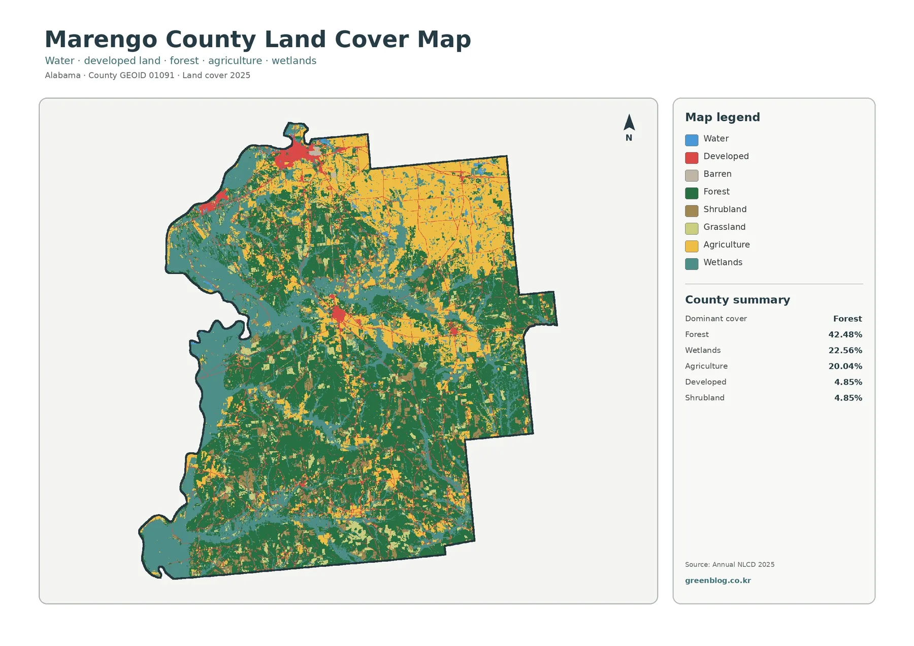
Marengo County is a large, sparsely populated Black Belt county with two distinct centers. Linden is the county seat, while
Marengo County Map | Demopolis, Linden, and 10 Places Read More »
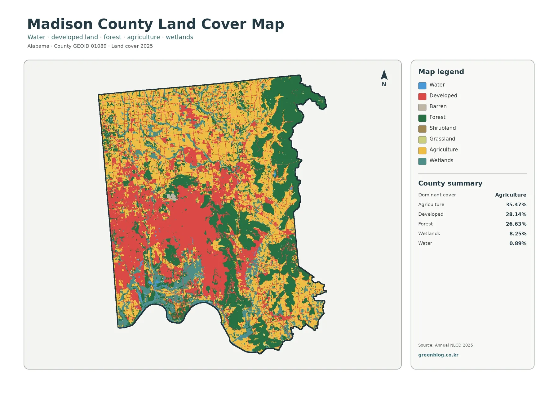
Madison County is the heart of Alabama’s largest technology and aerospace economy. Huntsville is the county seat and dominant city,
Madison County Map | Huntsville, Redstone Arsenal, and 12 Places Read More »
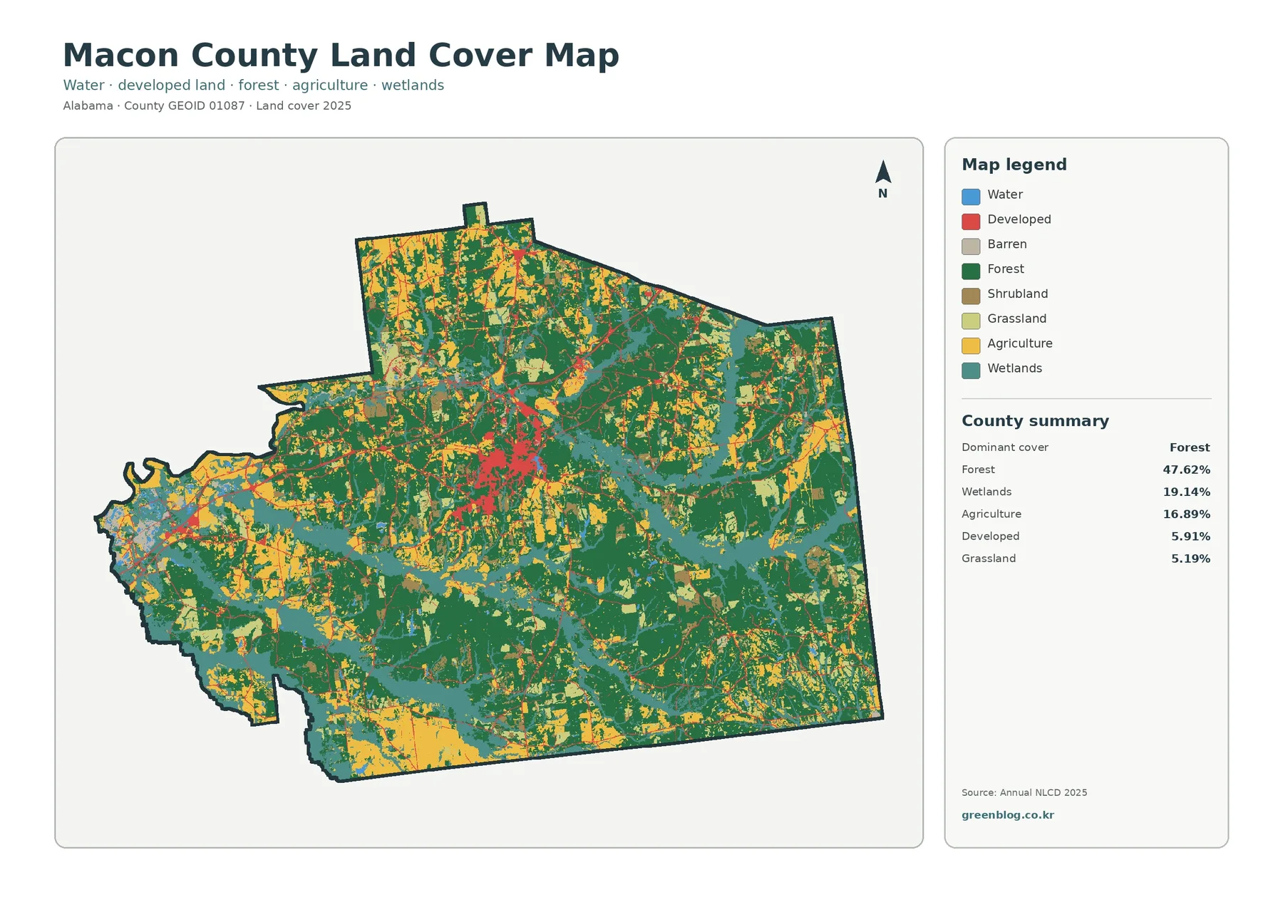
Macon County combines a globally significant education and civil-rights history with a largely rural Black Belt economy. Tuskegee is the
Macon County Map | Tuskegee, I-85, and Four Places Read More »
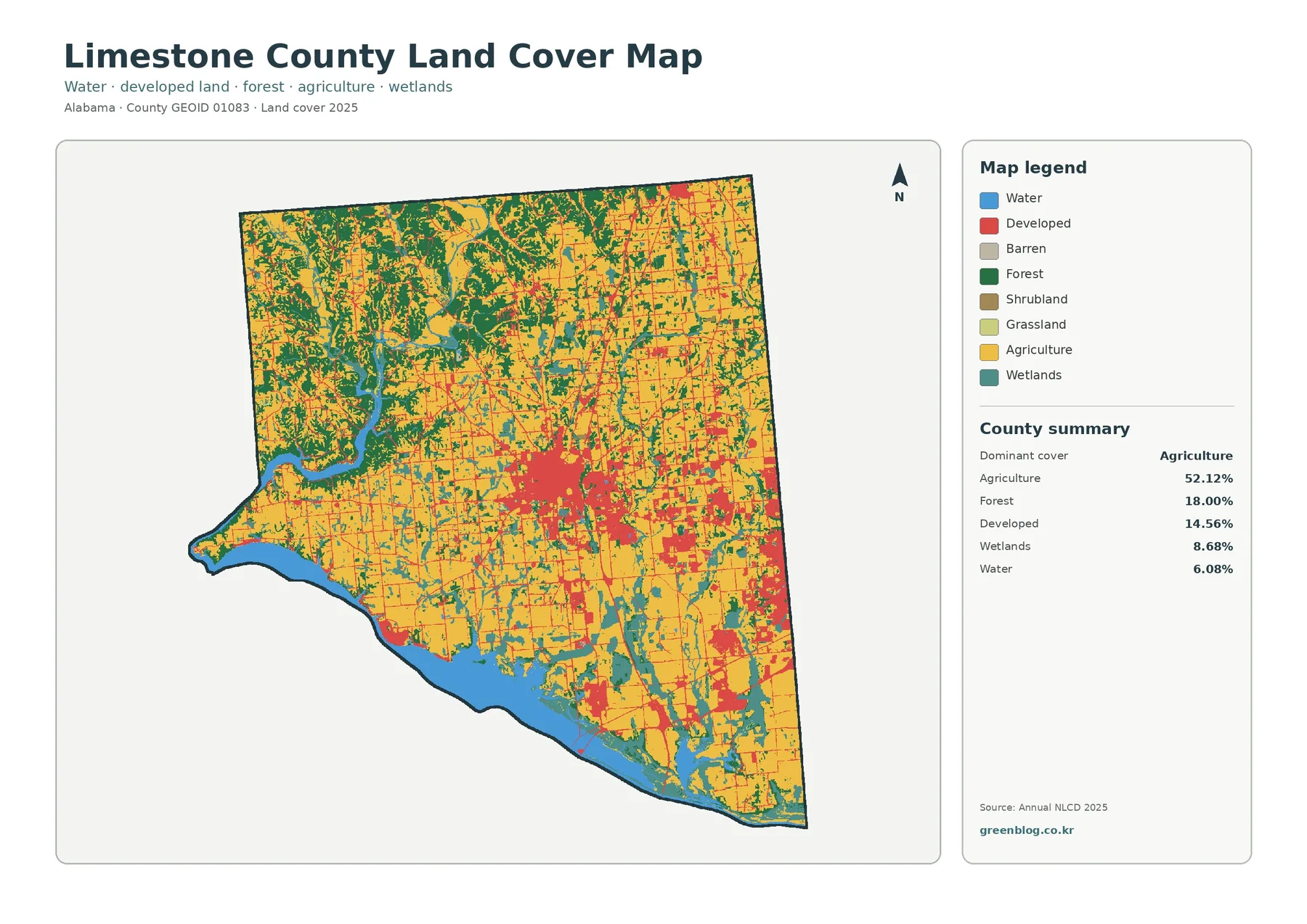
Limestone County has become one of Alabama’s fastest-growing counties as the Huntsville metropolitan area expands west across the county line.
Limestone County Map | Athens, I-65, and Eight Places Read More »
Lee County is one of Alabama’s fastest-growing counties and the center of the Auburn–Opelika metropolitan area. Auburn supplies the university,
Lee County Map | Auburn, Opelika, I-85, and Seven Places Read More »
A Lawrence County map is useful when a northwestern Alabama overview needs more than a county outline. Moulton is the
Lawrence County map | Moulton, Wheeler Lake, and three A3 JPG versions Read More »