
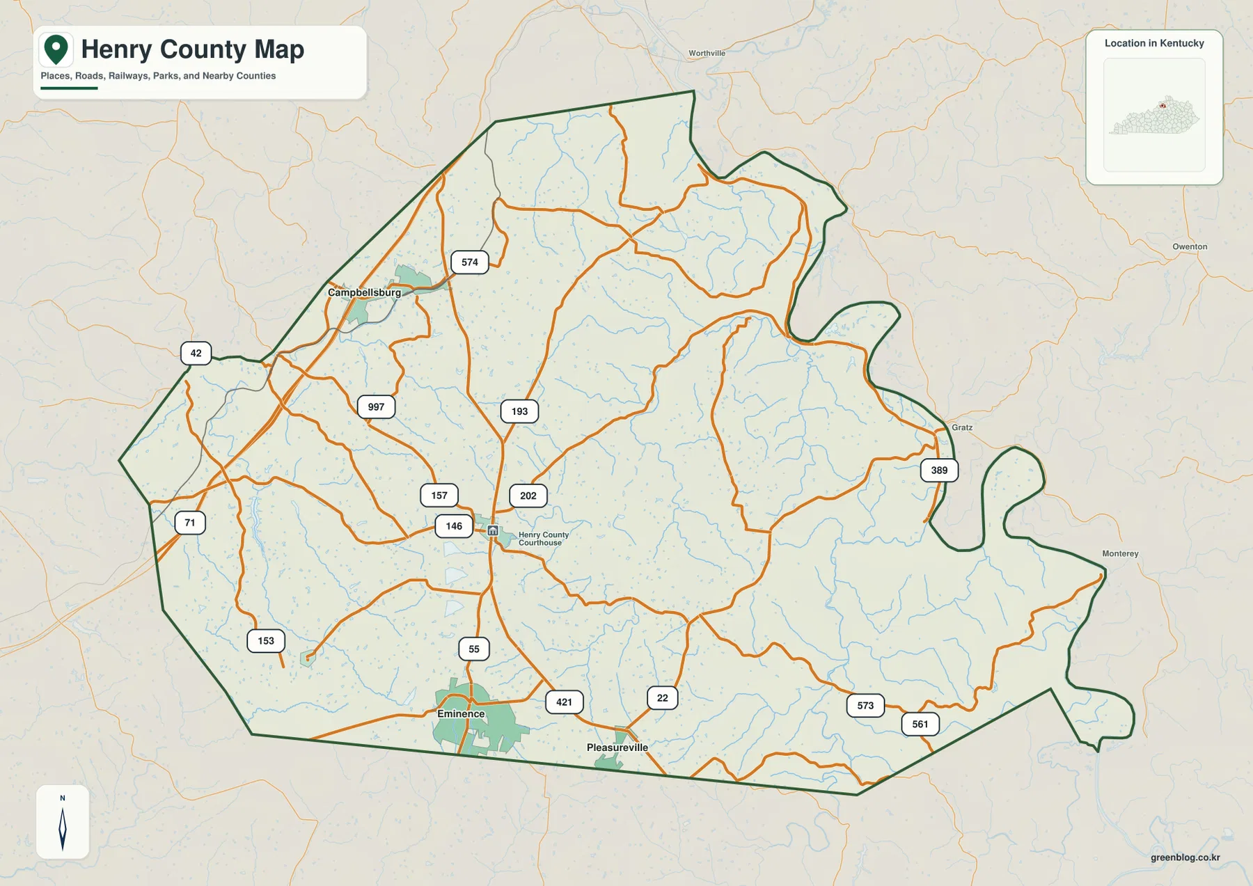
Eminence to New Castle, Little Kentucky River to Drennon Creek | Henry County Kentucky Map
Henry County sits in north-central Kentucky with a settlement pattern that becomes easier to understand once Eminence and New Castle
Henry County sits in north-central Kentucky with a settlement pattern that becomes easier to understand once Eminence and New Castle
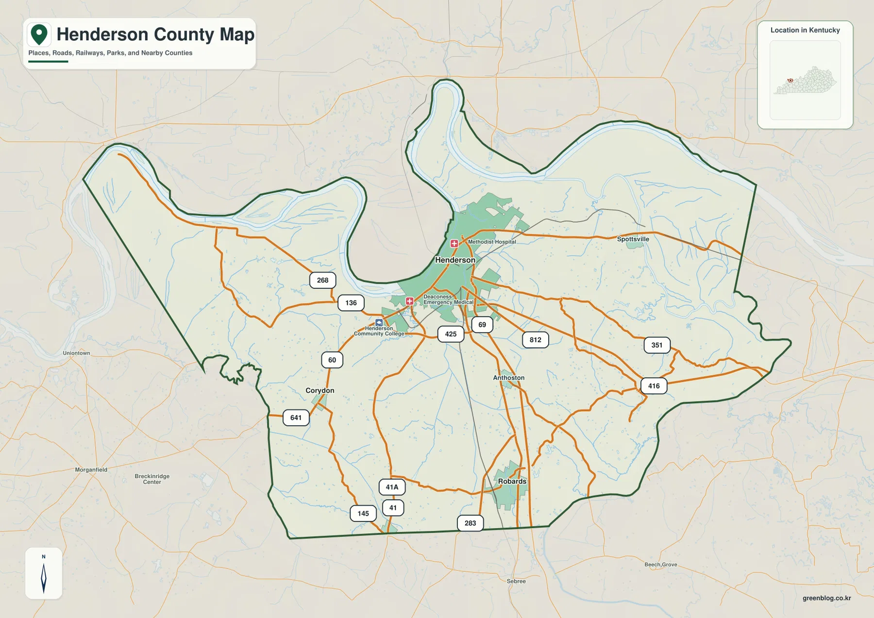
Henderson County occupies a distinctive stretch of western Kentucky where broad bends of the Ohio River shape the northern and
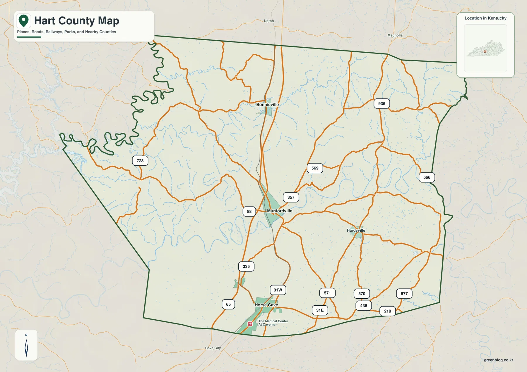
Hart County sits in south-central Kentucky, where Horse Cave, Munfordville, and Bonnieville form a clear north-south chain through the middle
Horse Cave and Munfordville on the Green River | Hart County Kentucky Map Read More »
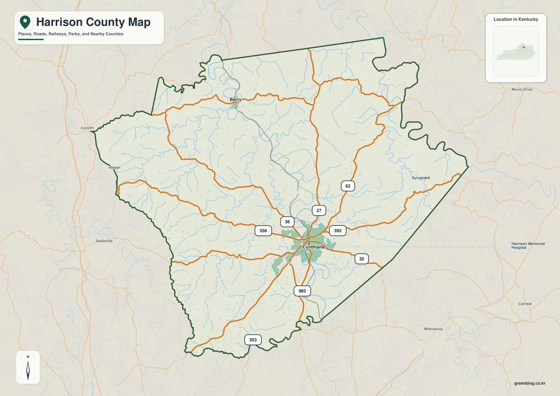
Harrison County sits in north-central Kentucky, with Cynthiana serving as the main road and settlement center and Berry marking the
Cynthiana, Berry, and the South Fork Licking River | Harrison County Kentucky Map Read More »
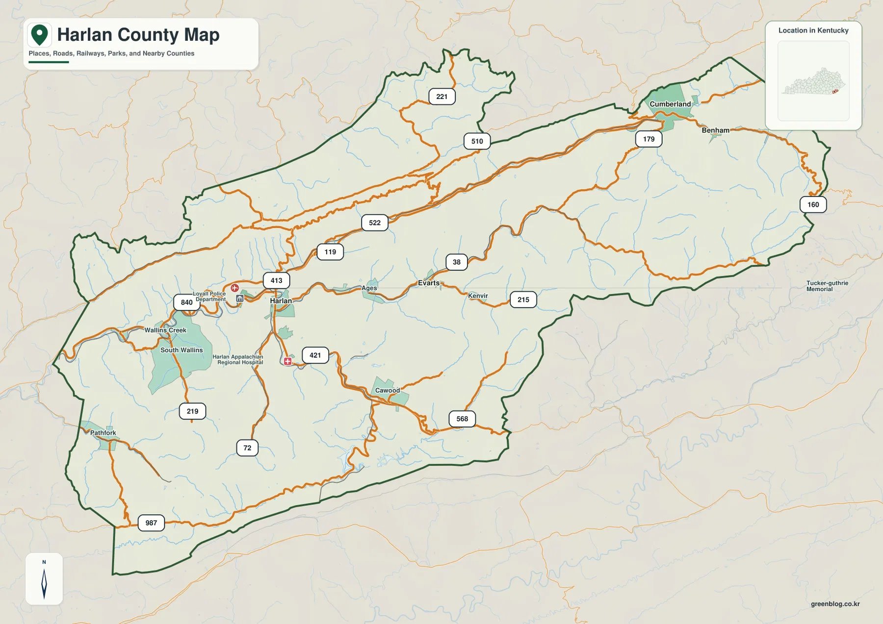
Harlan County sits in the Appalachian mountains of southeastern Kentucky, where Harlan, Cumberland, Benham, Lynch, Evarts, and Loyall occupy narrow
Harlan County Kentucky Map — Cumberland River Forks, Tri-Cities, and Black Mountain Read More »
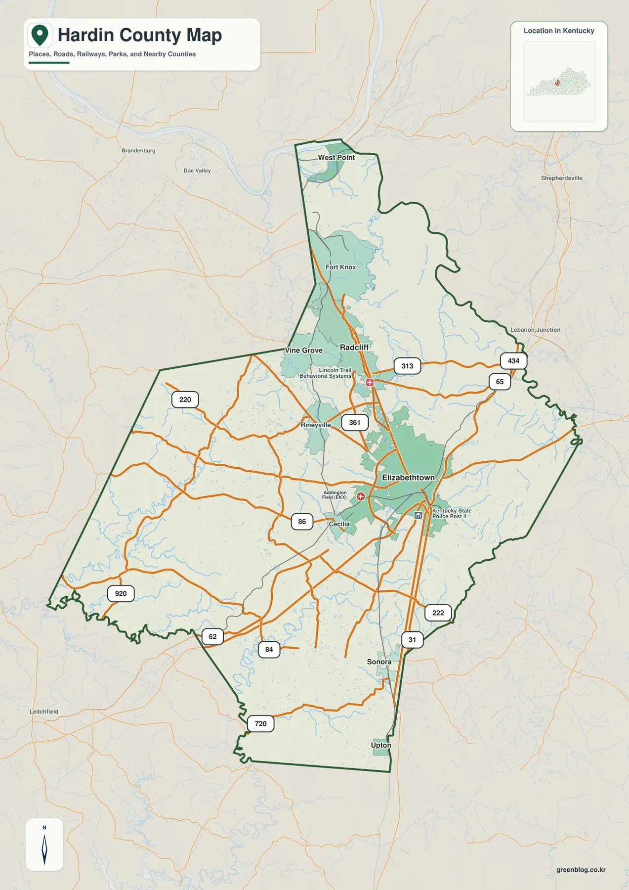
Hardin County spans a broad part of north-central Kentucky, with Elizabethtown as the largest urban anchor and Radcliff, Vine Grove,
Hardin County Kentucky Map — Elizabethtown, Fort Knox, I-65, and River Valleys Read More »
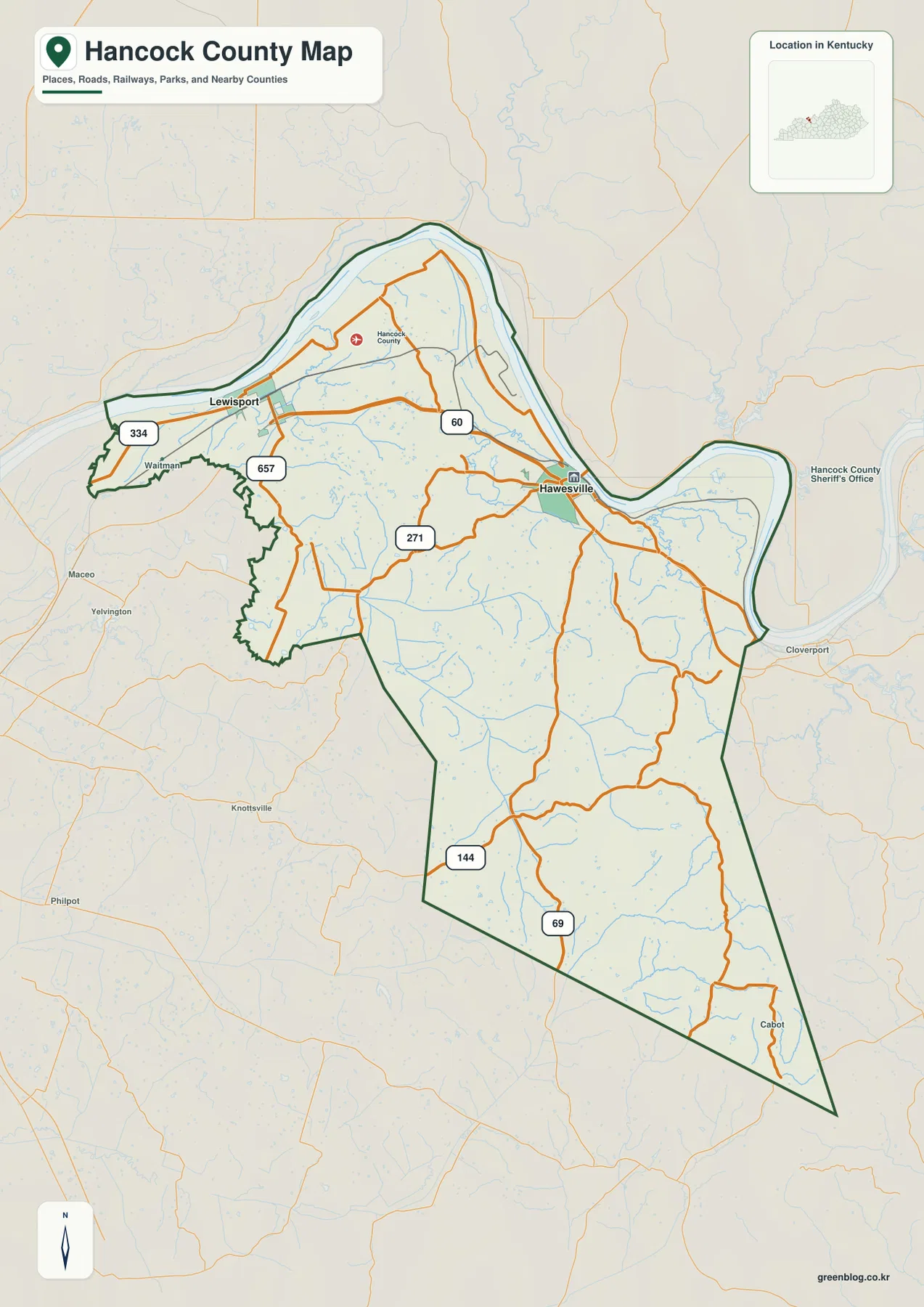
Hancock County sits along a broad series of Ohio River bends in northwestern Kentucky. Lewisport is the clearest western city
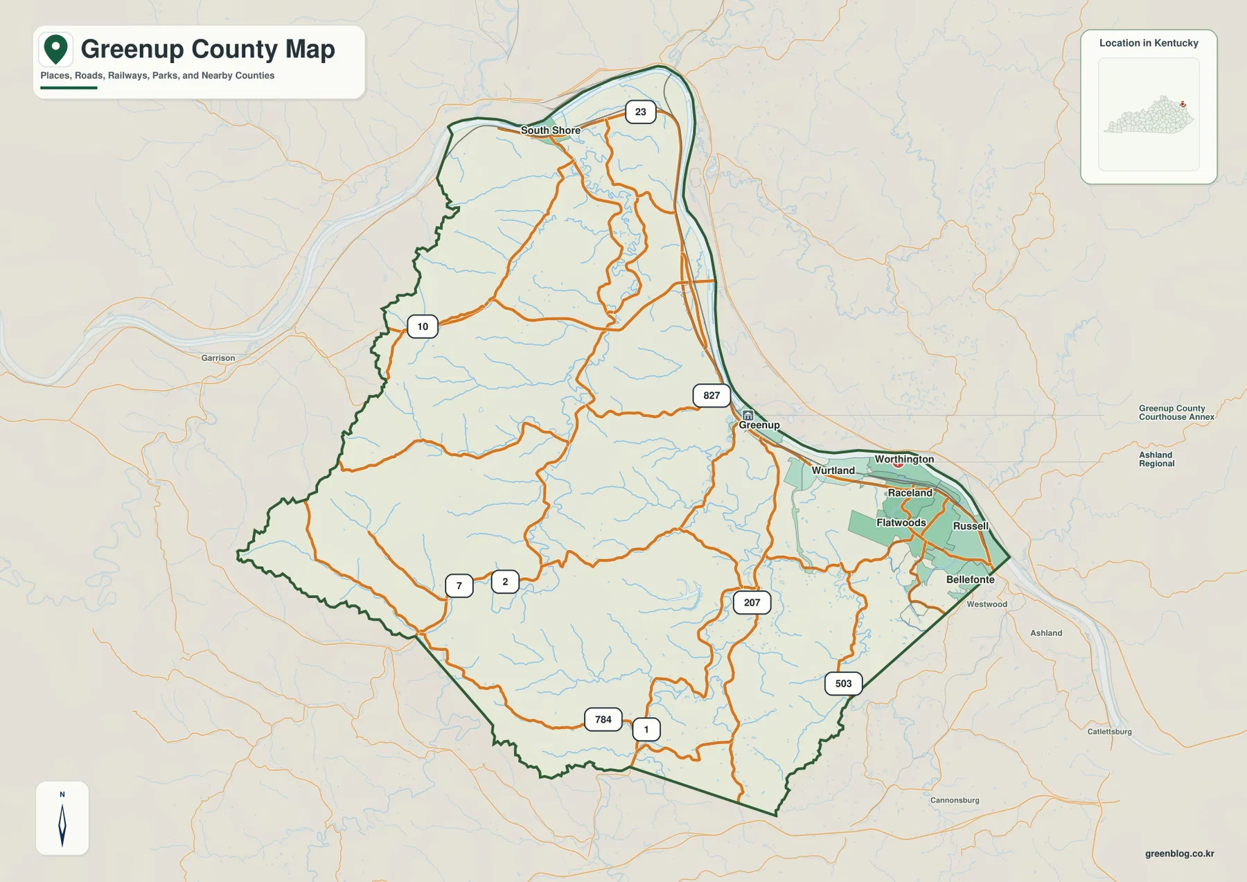
Greenup County sits at Kentucky’s northeastern edge, where the Ohio River wraps around the county and a string of communities
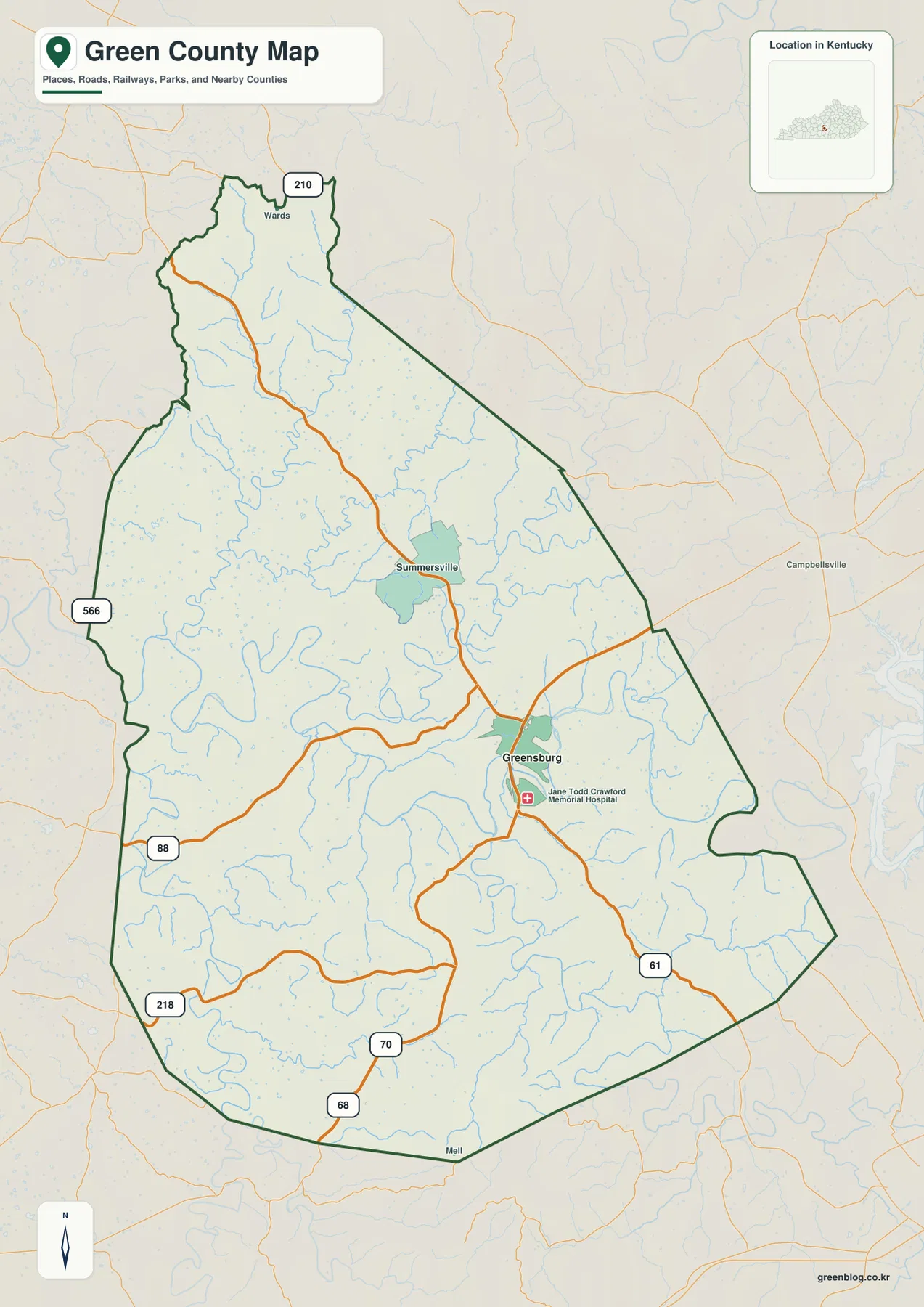
Green County lies in south-central Kentucky, where Greensburg provides the clearest town reference and the Green River loops through a
Green County Kentucky Map — Greensburg, Green River Bends, and Rolling Ridges Read More »