
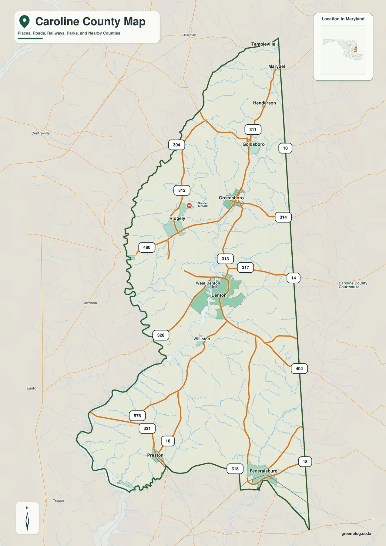
Caroline County Maryland Map from Denton to Federalsburg along the Choptank River Tributaries
Caroline County sits on Maryland’s Eastern Shore as a long inland county between the Choptank River drainage and the Delaware
Caroline County sits on Maryland’s Eastern Shore as a long inland county between the Choptank River drainage and the Delaware
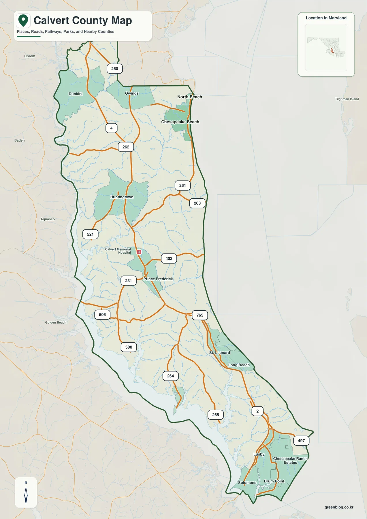
Calvert County forms a long, narrow peninsula in southern Maryland between the Patuxent River and Chesapeake Bay. Its main north-south
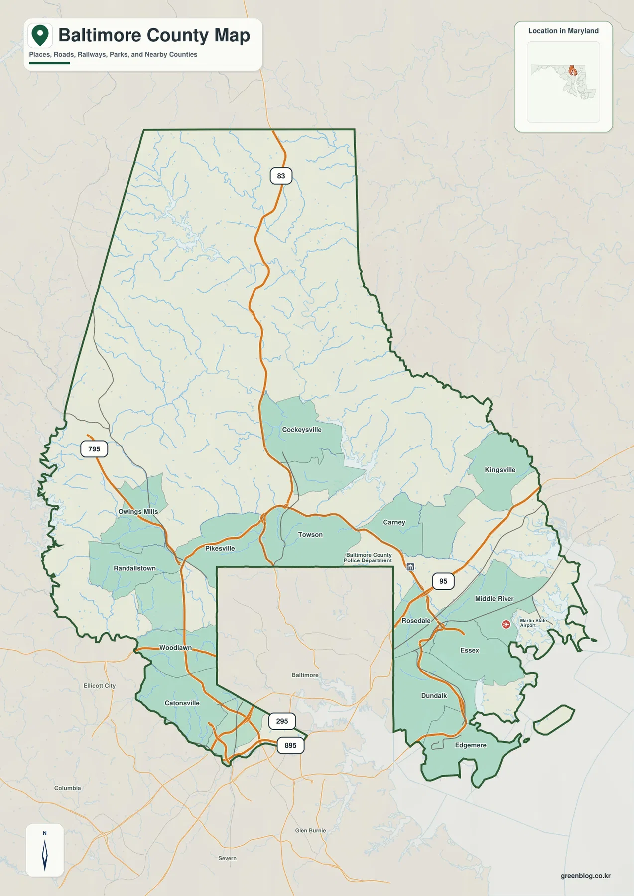
Baltimore County wraps around much of independent Baltimore City and then expands far to the north, west, and east. The
Baltimore County Map across Towson, Cockeysville, Gunpowder Falls, and Chesapeake Bay Read More »
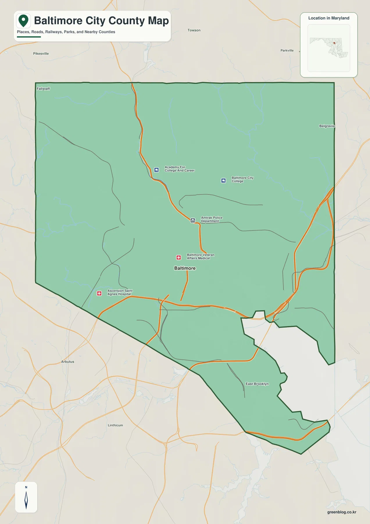
Baltimore City needs one important clarification before the map is read like an ordinary Maryland county. The city is an
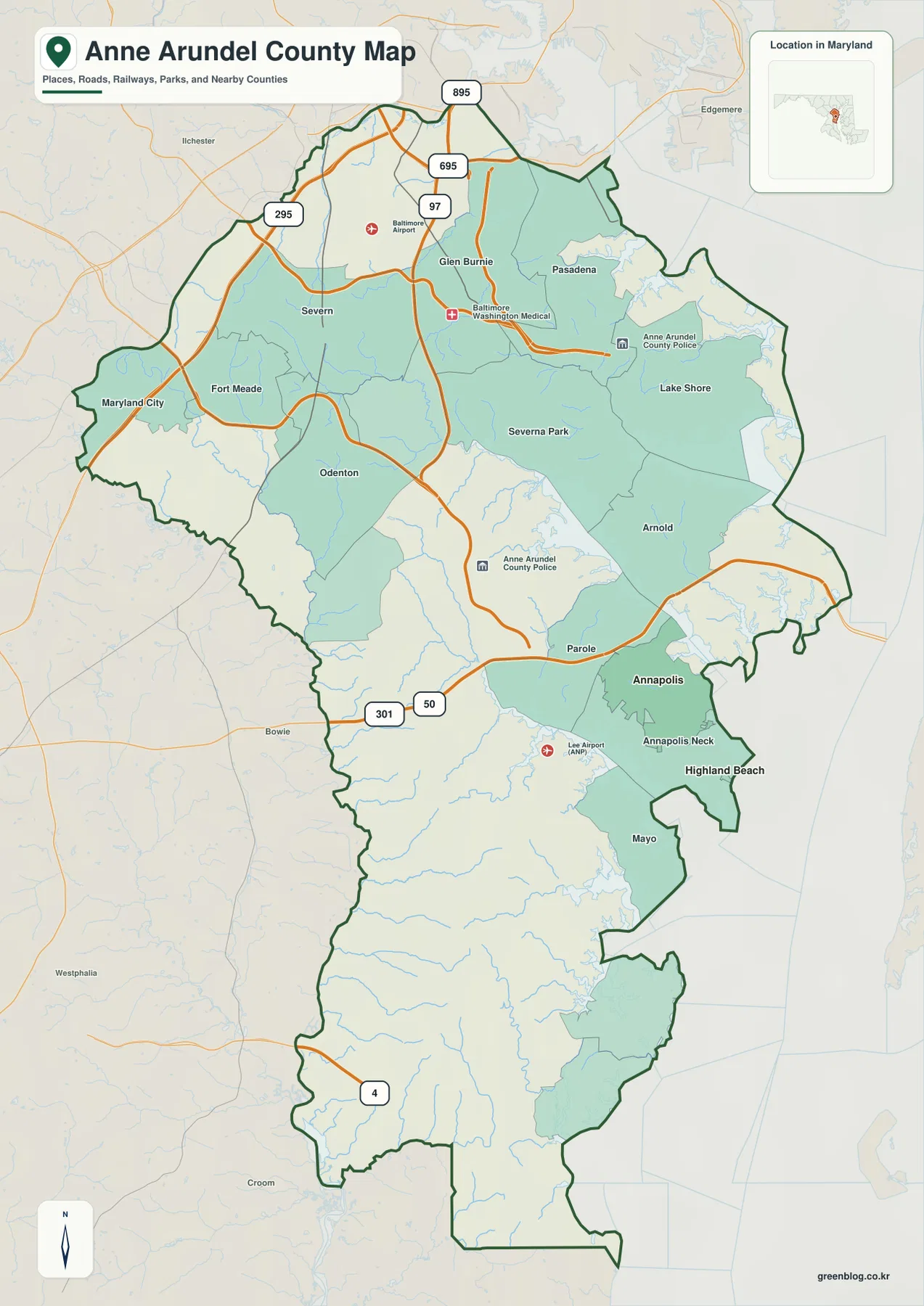
Anne Arundel County stretches across central Maryland to the western shore of Chesapeake Bay, combining the Glen Burnie and Pasadena
Annapolis, Severn River, and Chesapeake Shorelines on the Anne Arundel County Map Read More »
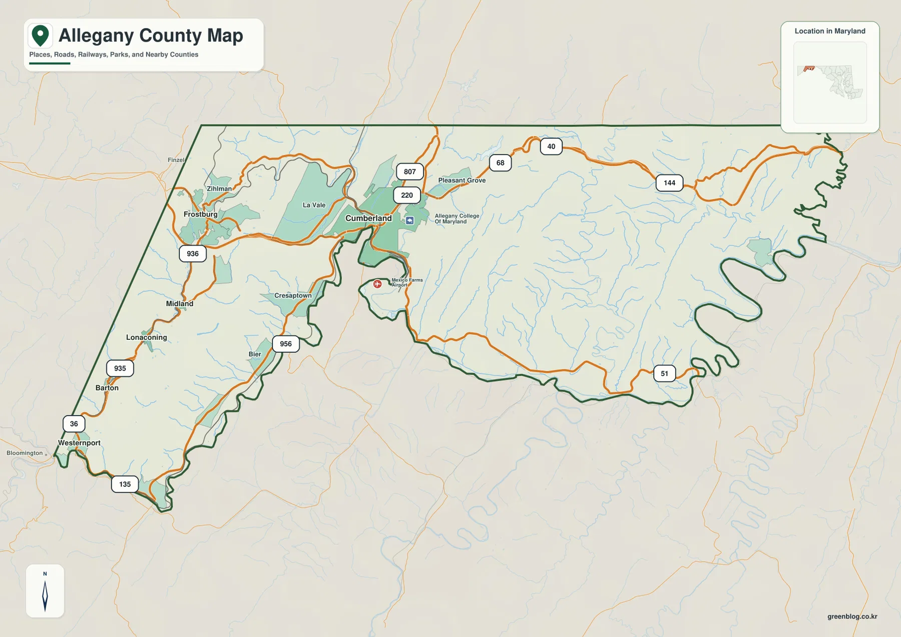
Allegany County sits in the mountainous western arm of Maryland, with Cumberland and Frostburg forming the most concentrated urban area
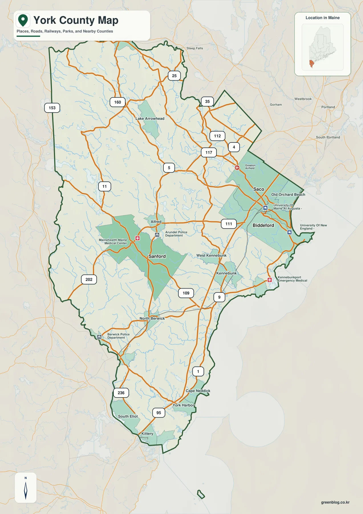
York County occupies the southwestern corner of Maine, extending from the Biddeford-Saco coastal area through Sanford and Alfred to Kittery,
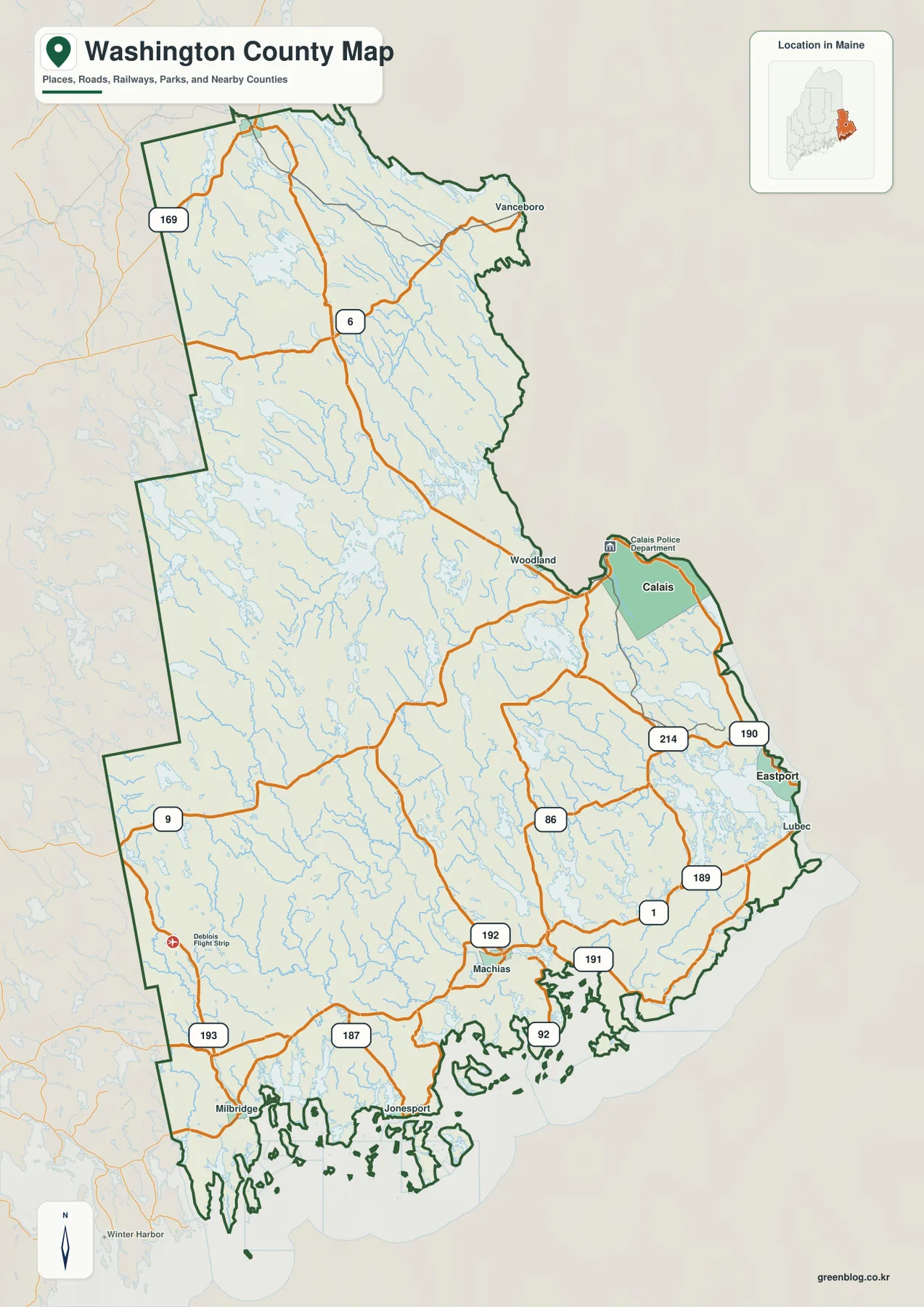
Washington County occupies Maine’s far eastern edge, stretching from the Machias area along a deeply indented coast to Calais, Eastport,
Washington County Maine Map from Machias to Calais, Eastport, and the Cobscook Bay Coast Read More »
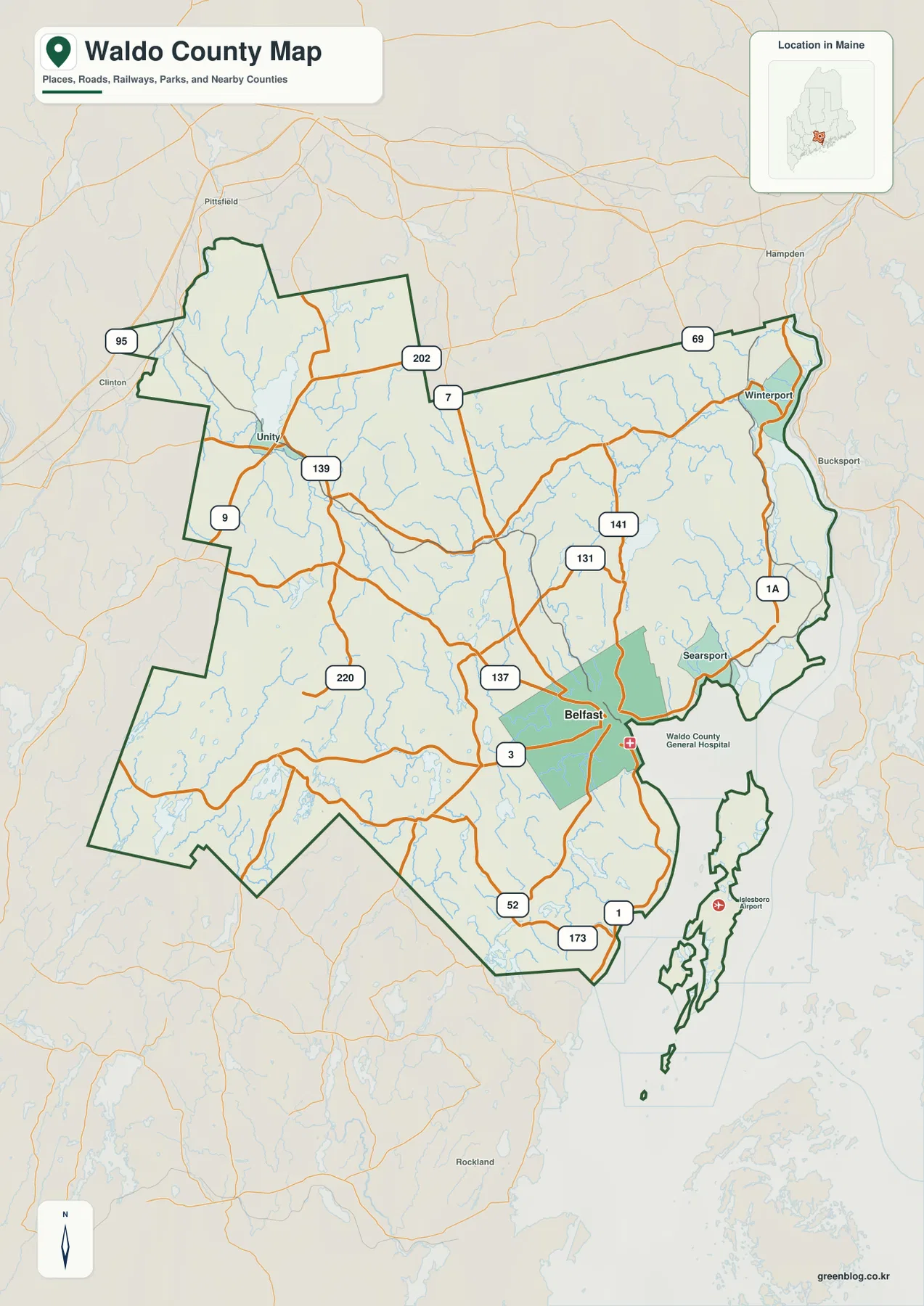
Waldo County stretches from the Belfast and Searsport shoreline into a much broader inland landscape around Unity, Swanville, and the
Waldo County Map with Belfast, Inland Roads, and the Rivers of Midcoast Maine Read More »