
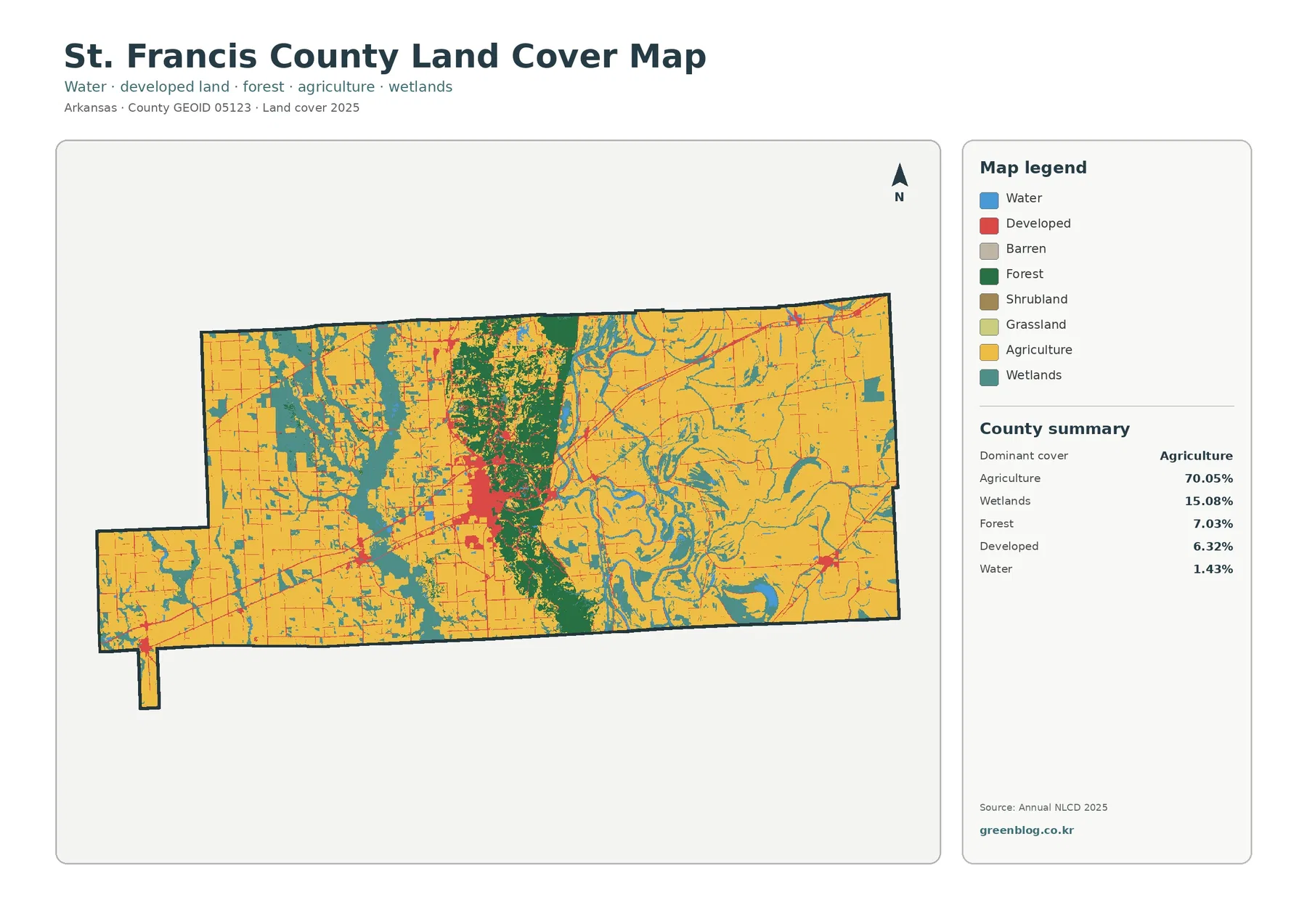
St. Francis County Arkansas Land Cover Map: Farmland on Both Sides of Crowley’s Ridge and the Forrest City Core
St. Francis County has one of the clearest farm–ridge–wetland contrasts in this Arkansas map set. Agriculture covers 70.05% in 2025, […]
St. Francis County has one of the clearest farm–ridge–wetland contrasts in this Arkansas map set. Agriculture covers 70.05% in 2025, […]
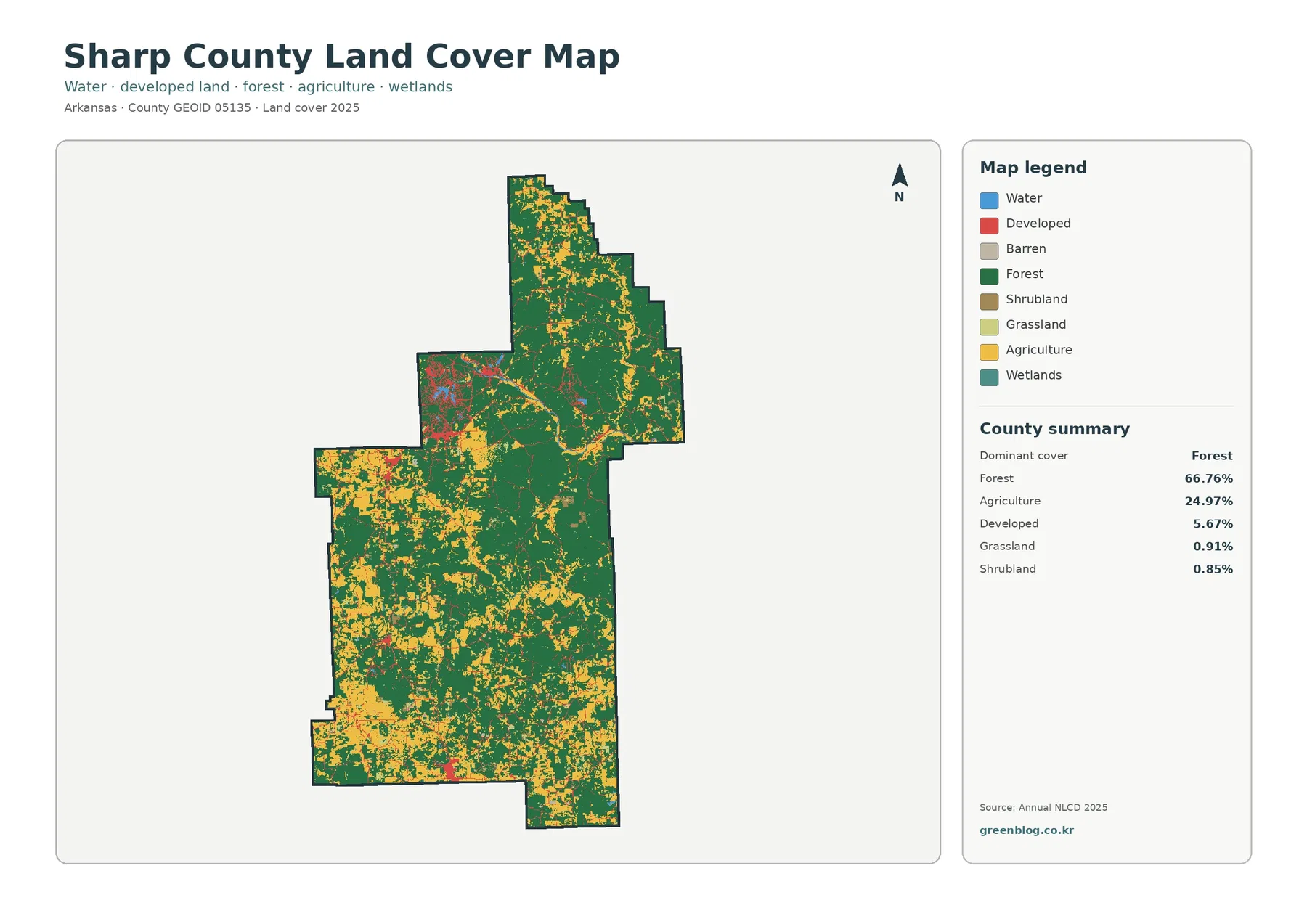
Sharp County’s 2025 map combines a strong forest majority with a substantial open-rural component. Forest covers 66.76%, agriculture 24.97%, and
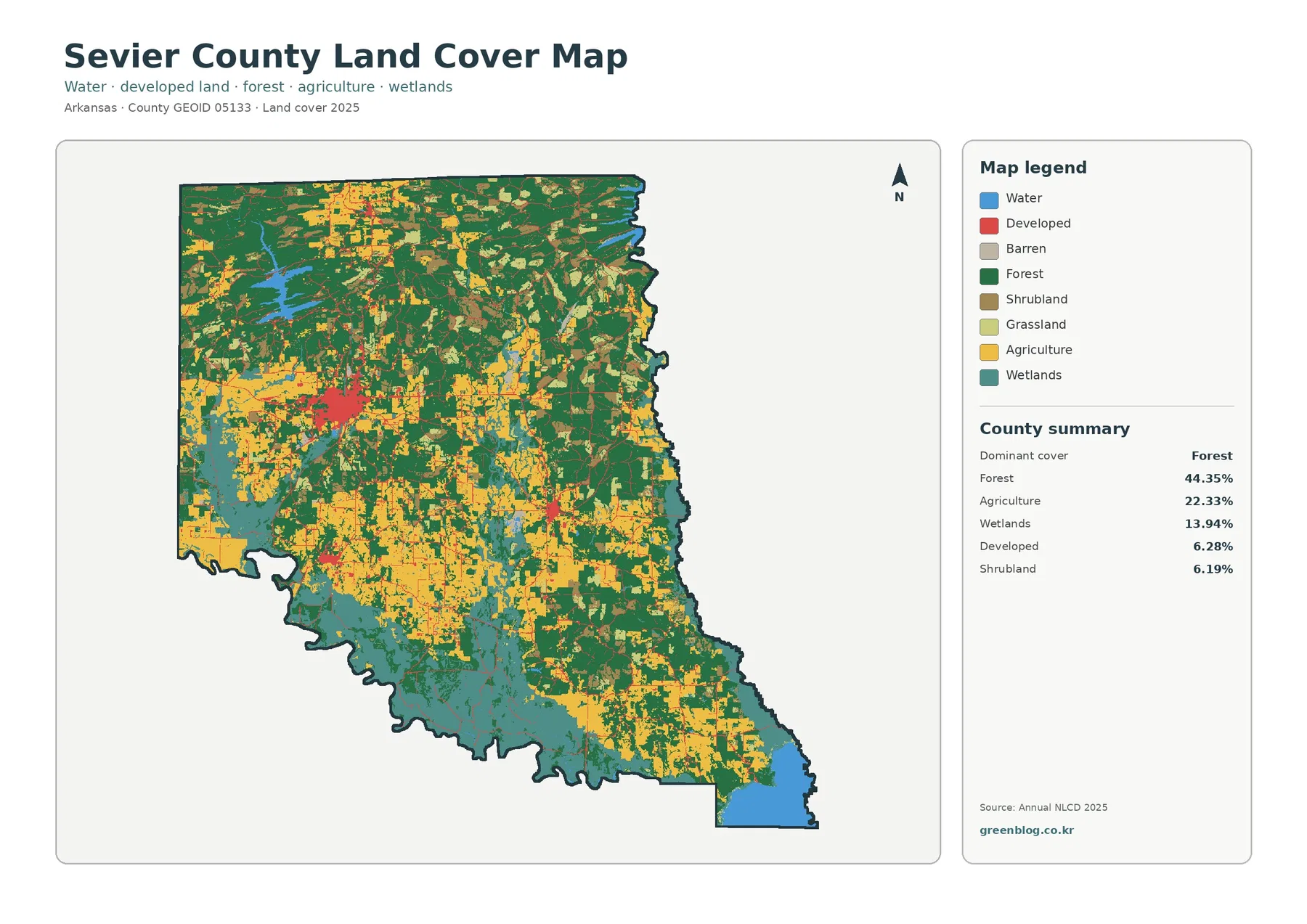
Sevier County stands out because forest, agriculture, wetlands, and developed land all occupy meaningful portions of the 2025 map. Forest
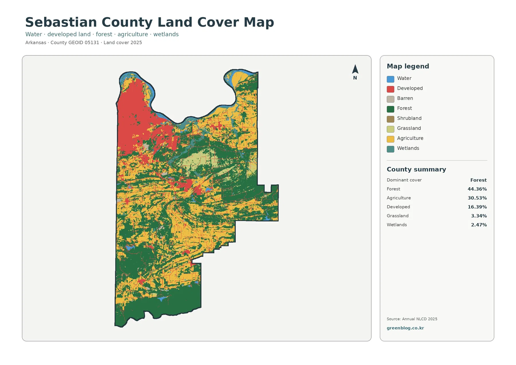
Sebastian County is one of the more varied land-cover counties in this Arkansas map series. Forest is the largest 2025
Sebastian County Arkansas Land Cover Map | Fort Smith Urban Footprint and Forested South Read More »
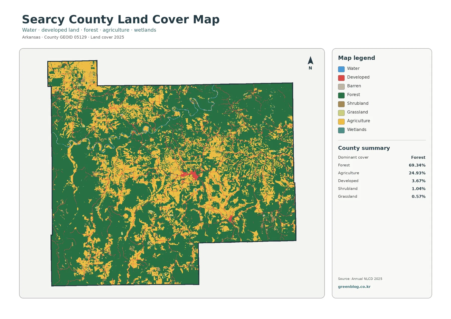
Searcy County’s 2025 land-cover map is dominated by forest, which accounts for 69.34% of the county. Agriculture is still substantial
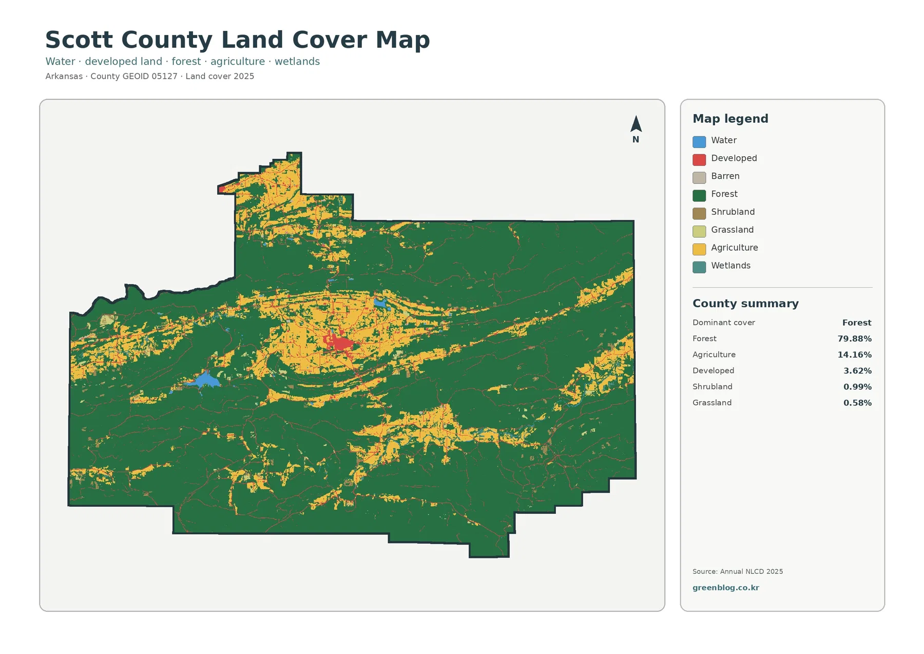
Scott County’s 2025 land-cover map is overwhelmingly green: forest accounts for 79.88% of the county. The pattern is not featureless,
Scott County Arkansas Land Cover Map — 79.88% Forest, Waldron Core & Scattered Open Land Read More »
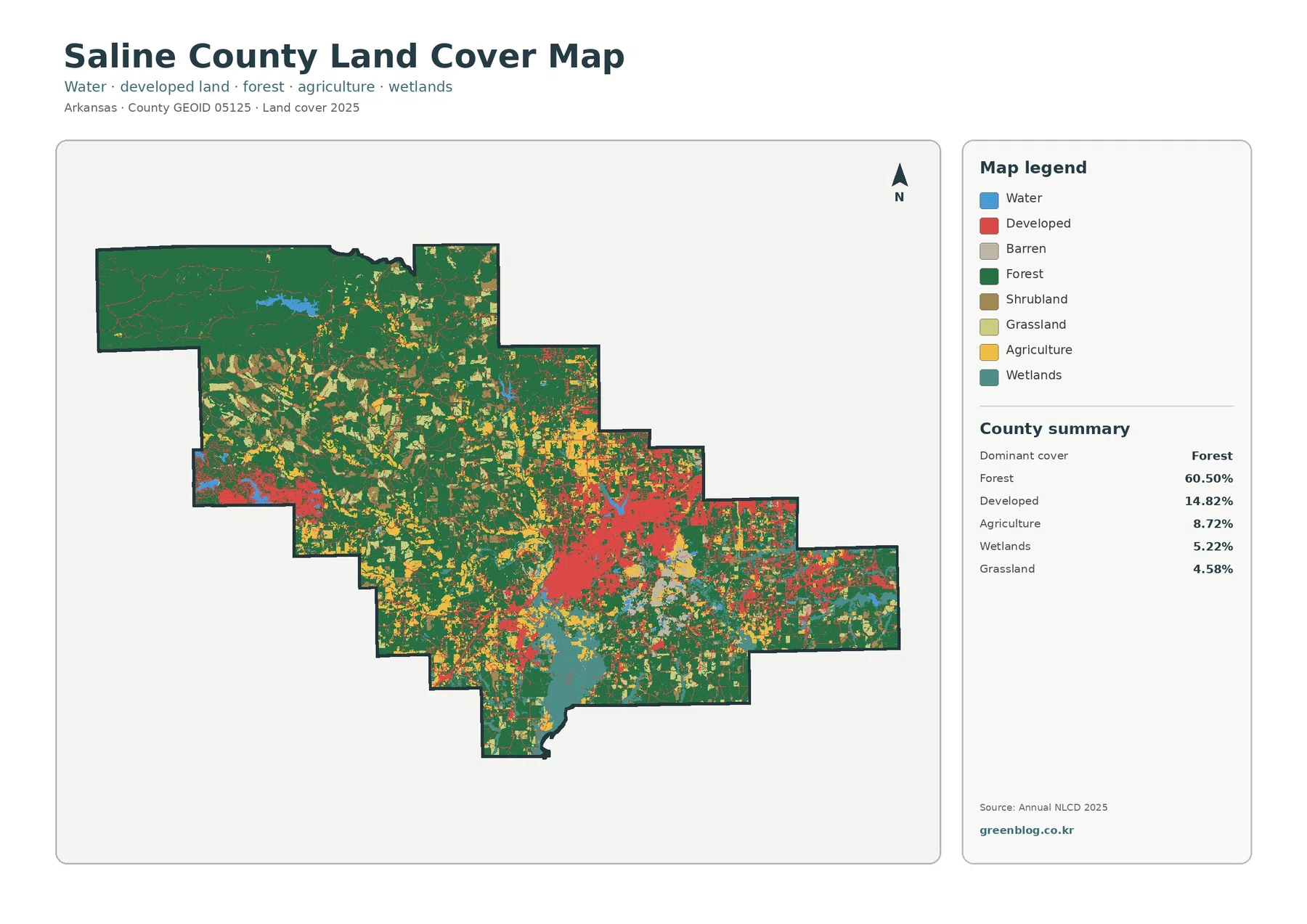
Saline County sits in central Arkansas, and its 2025 land-cover pattern is defined by a strong contrast between a heavily
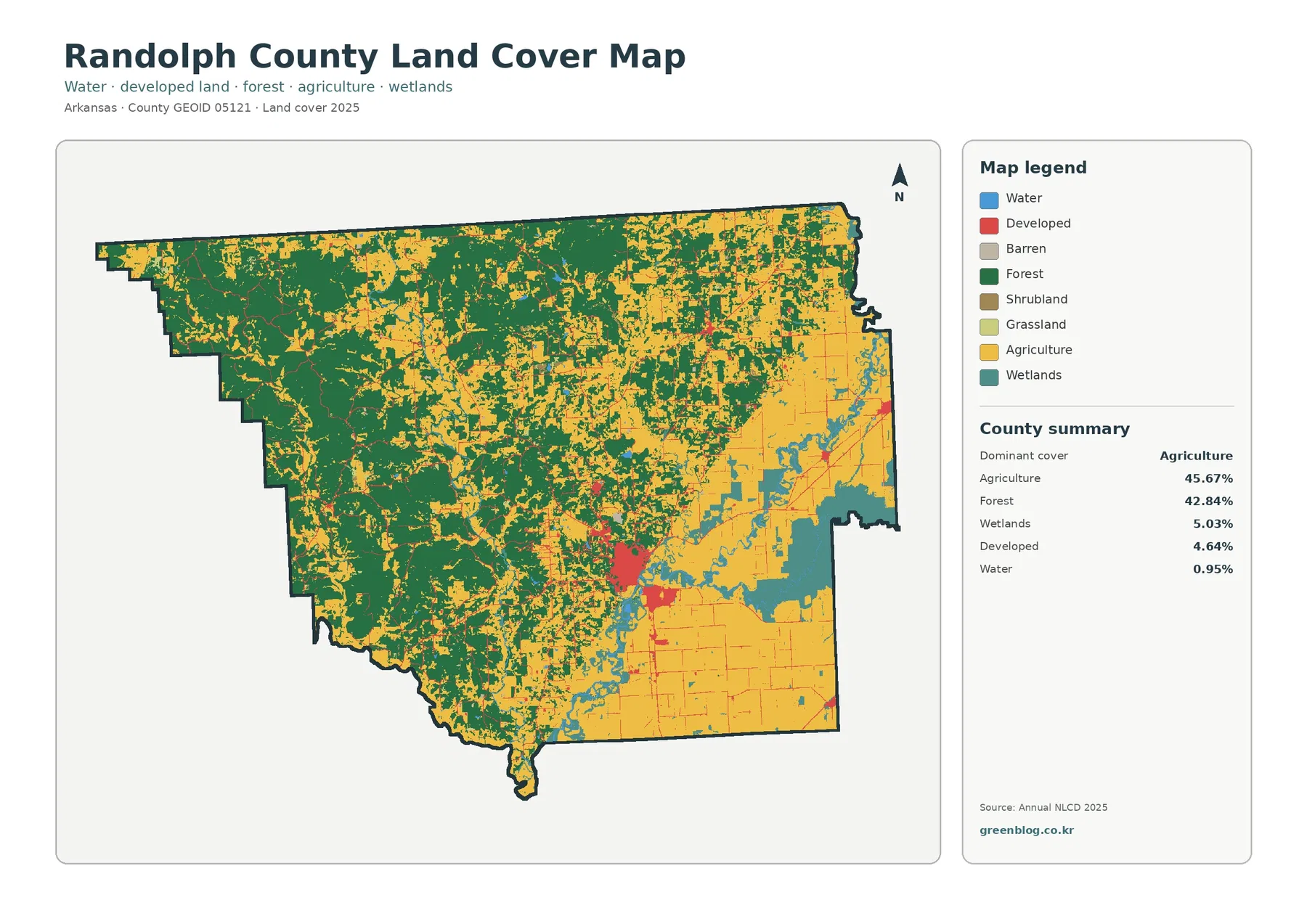
Randolph County has one of the more balanced 2025 land-cover summaries in this Arkansas series: agriculture accounts for 45.67% of
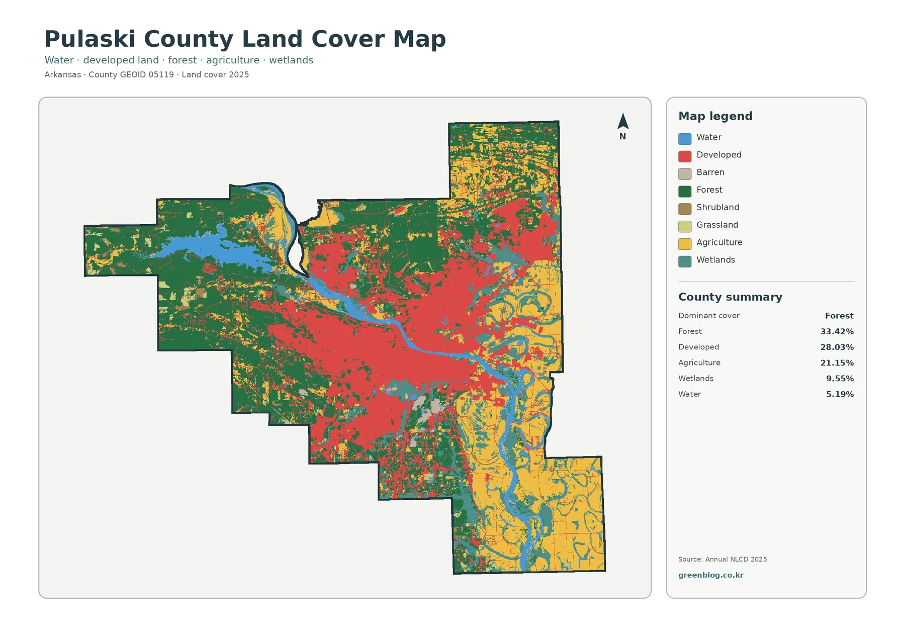
Pulaski County has one of the most mixed land-cover profiles in this Arkansas series. The 2025 summary is led by