The World Bank Data Catalog entry titled Ethiopia – High Frequency Phone Survey 2020-2024 is an official starting point for finding the High Frequency Phone Survey (HFPS) used to monitor how the COVID-19 shock affected Ethiopian households. The catalog page is not a regional thematic-map viewer. Its main role is to identify the survey, summarize its purpose and sample background, show coverage and access metadata, and direct users to the Microdata Library for data files and documentation. This guide focuses on how to read that record accurately before using the survey in a map, table, or analysis.
Read the title and the catalog time field separately
The first important detail is that the catalog title and its current temporal field are not displayed in the same way. The official title says High Frequency Phone Survey 2020-2024, while the Data Catalog currently lists Temporal Coverage: 2020 – 2020. The overview also says data collection began at the end of April 2020. These fields should not be forced into a single interpretation. The title identifies the survey series, whereas the temporal field is a specific piece of catalog metadata that currently shows 2020 only.
A practical workflow is therefore to use the Data Catalog for discovery, coverage and access information, then follow its Microdata Library link when you need the latest files, round structure or detailed documentation. This avoids treating the title as proof that every catalog field already summarizes the entire 2020–2024 series.
What the catalog says about geographic coverage
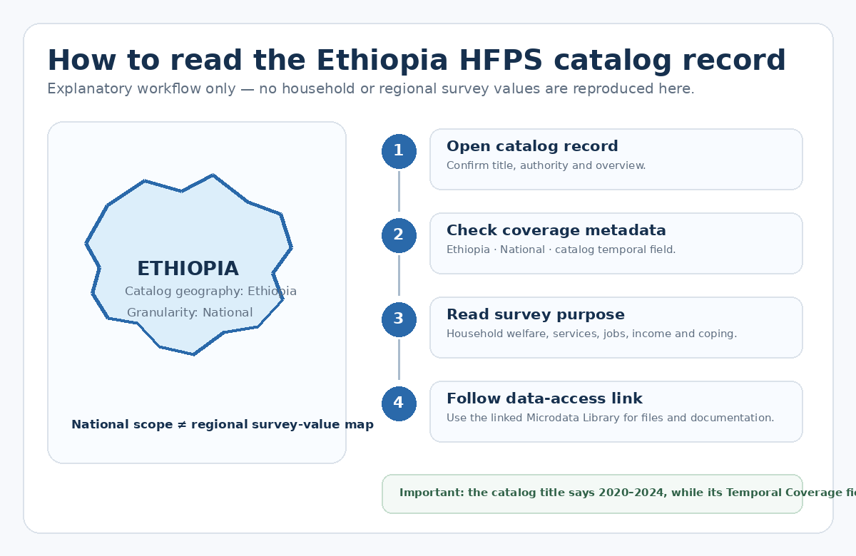
The catalog lists Geographical Coverage: Ethiopia and Granularity: National. Its survey description explains that the phone-survey sample came from households previously interviewed in the 2019 Living Standards Measurement Study and covered urban and rural areas across all regions of Ethiopia. Those statements describe the national survey frame and geographic reach; they do not mean the Data Catalog itself provides a ready-made set of region-level statistics.
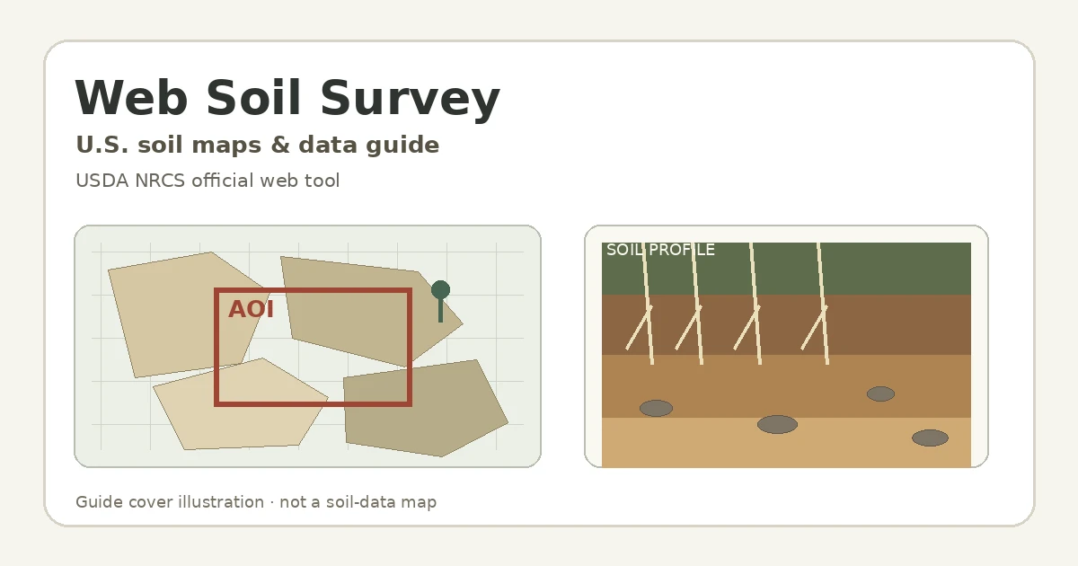
For mapping, keep those two ideas separate. A nationally classified catalog record does not authorize you to invent subnational values or color regions according to assumptions. A regional map is appropriate only after the released files and documentation confirm which geographic identifiers are available, what level can be published, and how the survey design and weights should be handled. That is why the visual in this guide is an explanatory diagram rather than a map of HFPS results.
What the HFPS was designed to monitor
According to the official overview, the survey was created to monitor the potential effects of the COVID-19 pandemic on household welfare in Ethiopia. The roughly 15-minute questionnaire covers several connected topics: knowledge of COVID-19 and mitigation measures, access to routine healthcare, educational activity during school closures, employment dynamics, household income and livelihoods, income loss and coping strategies, and external assistance. It is therefore a multi-topic household monitoring survey rather than a single health or labor indicator.
The survey uses Computer Assisted Telephone Interviewing and a modular design, allowing modules to be added or dropped across waves. The catalog overview says collection began at the end of April 2020 and describes repeated calls every three to four weeks. For longitudinal analysis, that modular design matters: a variable should not be assumed to exist in every round simply because it appears in the survey description. Round-specific questionnaires and documentation should be checked before comparing values over time.
A straightforward way to use the record
- 1. Open the World Bank Data Catalog entry. Confirm the dataset title, authority, overview and version information.
- 2. Read the title and Temporal Coverage as separate fields. The title says 2020-2024; the current catalog temporal field says 2020-2020.
- 3. Check Coverage & Extent. Confirm Ethiopia as the geography and National as the granularity.
- 4. Match the survey scope to your question. Look for healthcare, education, employment, income and livelihood, coping, or assistance depending on your research need.
- 5. Follow the Microdata Library link. Use the linked data space for actual files and detailed survey documentation.
- 6. Read documentation before analyzing files. Check variable definitions, round-specific modules, sampling, weights and geographic identifiers.
- 7. Check access and licensing. The catalog classifies the dataset as Public and identifies the license as Research Data License; read the applicable terms before reuse or redistribution.
What the catalog overview tells you
| Area | What is described on the official record | What to verify before analysis |
|---|---|---|
| Purpose | Rapid monitoring of household welfare during the COVID-19 shock | Do not turn monitoring associations into causal claims |
| Health | COVID knowledge/mitigation and routine healthcare access | Check the exact question and round |
| Education | Educational activity during school closures | Confirm household/child unit and reference period |
| Employment & income | Employment dynamics, household income and livelihoods, income loss | Do not assume identical modules across waves |
| Coping & assistance | Coping strategies and external assistance | Verify categories, denominator and target population |
| Geography | Ethiopia; National catalog granularity; urban and rural survey reach | Confirm released geographic identifiers before mapping |
This table reorganizes the catalog overview for navigation; it is not a replacement for the survey questionnaire or data dictionary. Variable labels, coded responses, missing values, weights and analysis rules must be taken from the released documentation. The distinction between nationwide survey coverage and National catalog granularity is especially important when the end goal is a subnational map.
Why the link to the 2018/2019 ESS matters
The HFPS sample was drawn from households that had been interviewed in the 2018/2019 Ethiopia Socioeconomic Survey (ESS). The catalog explains that the ESS had collected extensive household background information shortly before the pandemic, giving the phone survey a useful pre-shock context for examining how impacts differed across households. This makes the HFPS a follow-up survey connected to an existing household sample rather than an unrelated one-time phone poll.
That sampling history should not be used as a shortcut around geographic disclosure rules. Even if the underlying ESS design had regional representation, the released HFPS files may limit, recode or omit geographic information. The usable mapping level must be established from the public files and documentation, not inferred from the sampling description alone.
Questions to answer before building a map or regional comparison
- Are you studying Ethiopia as a whole, or trying to compare regions, urban/rural groups or other domains?
- Is the variable present in the specific survey round you plan to use?
- Is the question definition consistent across the rounds being compared?
- Does the released file actually include a geographic identifier at the level you need?
- Do the estimates require survey weights or adjustments for nonresponse and attrition?
- Are you confusing the 2020-2024 title with the current 2020-2020 Temporal Coverage field?
- Have you checked both the Public classification and the Research Data License terms?
Scope and interpretation limits
HFPS is a repeated sample survey designed for timely monitoring, not a complete administrative count of every household. Sample design, phone access, nonresponse and panel attrition can all matter for interpretation. The catalog is most useful as a controlled entry point: it tells you what the survey is, where it applies, why it was collected and where to go for the actual data. Once analysis begins, the round-specific files and documentation take priority.
Catalog statistics such as page views, downloads or version numbers are also not survey outcomes. They describe use of the dataset record or its management history. Likewise, the metadata JSON offered by the catalog is machine-readable dataset description, not household-response microdata.
Official source
Frequently Asked Questions
Can I see a region-by-region Ethiopia HFPS map directly on this catalog page?
No. The Data Catalog provides survey metadata and an access path, and its granularity is listed as National. Whether a subnational map can be produced depends on the geographic variables and disclosure level in the released Microdata Library files and documentation.
Why does the title say 2020-2024 while Temporal Coverage says 2020-2020?
That is how the current catalog record is displayed. Treat the title as the survey-series label and the Temporal Coverage field as a separate catalog field. For the actual released rounds and current files, follow the catalog link to the Microdata Library rather than inferring the complete time span from one field.
What topics does the survey cover?
The official overview includes COVID-19 knowledge and mitigation, routine healthcare access, education during school closures, employment, household income and livelihoods, income loss and coping, and external assistance. Because the survey is modular, the exact round in which a topic appears should be checked in the documentation.
Does Public classification mean unrestricted redistribution?
Not necessarily. The catalog classifies the dataset as Public and lists a Research Data License. Reuse, sharing and redistribution should follow the applicable license and the conditions attached to the released files.
Related Articles
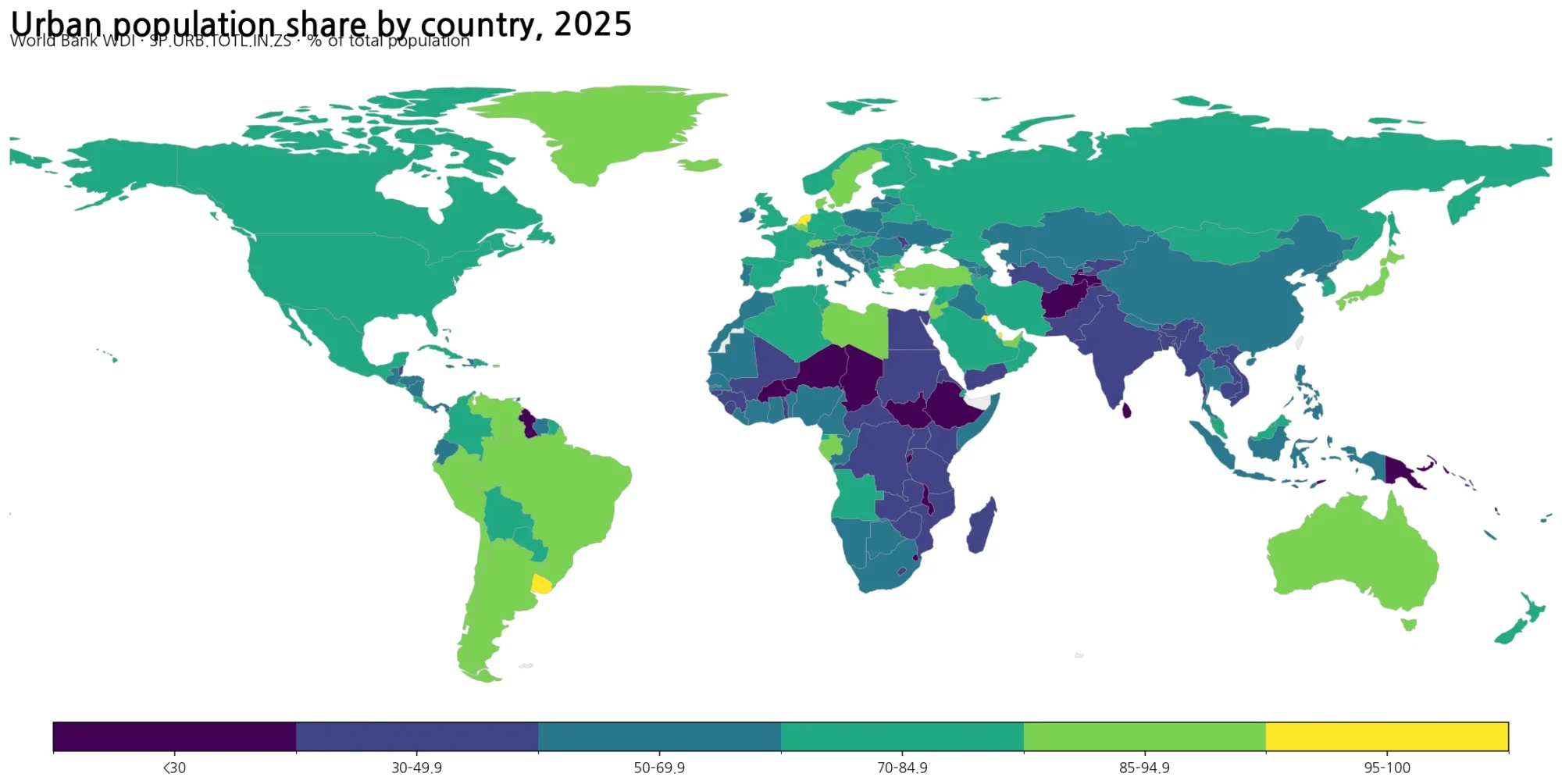
HFPS is a repeated household sample survey. The Green Map articles below use separate World Bank indicators to compare national demographic and settlement patterns. They are useful context, but they should not be treated as HFPS results or as substitutes for survey microdata.
- Global Population Growth Map – 2025 Country Comparison
- Global Population Density Map – 2023 Country Comparison
- Global Urbanization Rate Map – 2025 Country Comparison
Green Map creates custom-edited map images using open geographic data sources such as geoBoundaries, Natural Earth, OpenStreetMap, and government open data.
These maps are edited visual materials, not raw data files, and are provided for education, documents, presentations, and graphic reference.