A Massachusetts Map is useful for much more than locating the state within the northeastern United States. Teachers often use county maps in classroom activities, researchers reference them when comparing regional patterns, and presentation creators include them in reports covering New England geography, education, transportation, or population distribution. Because Massachusetts combines a dense metropolitan region around Boston with rural western counties, a clear county map helps explain how different parts of the state are connected.
Located in the New England region of the United States, Massachusetts borders New Hampshire to the north, New York to the west, Connecticut and Rhode Island to the south, and the Atlantic Ocean to the east. The state covers approximately 27,000 square kilometers and has a population of around seven million people. Major population centers are concentrated in eastern Massachusetts, while western counties contain larger land areas and lower population density. This contrast makes county maps especially useful for regional comparison projects and educational materials.
This printable Massachusetts Map collection includes three versions: a color county map, a labeled black and white map, and a blank outline map. All files were prepared in high resolution for A3-size printing and can be used in classrooms, presentations, infographic projects, worksheets, blog graphics, and editing work. Different versions serve different purposes, allowing users to select the layout that best matches their project.
During the preparation process, extra attention was given to coastal areas such as Cape Cod and nearby islands because those regions contain more complex shorelines than many other U.S. states. Labels were reviewed at enlarged sizes, and county boundaries were adjusted to remain readable when printed.
Table of Contents
Massachusetts Map Versions Included
The collection contains:
- Color county map
- Labeled black and white map
- Blank outline map
- High-resolution JPG files
- A3 printable format
- County boundary information
Each version was created with a different use case in mind, ranging from classroom handouts to graphic editing projects.
Massachusetts Map Color Version
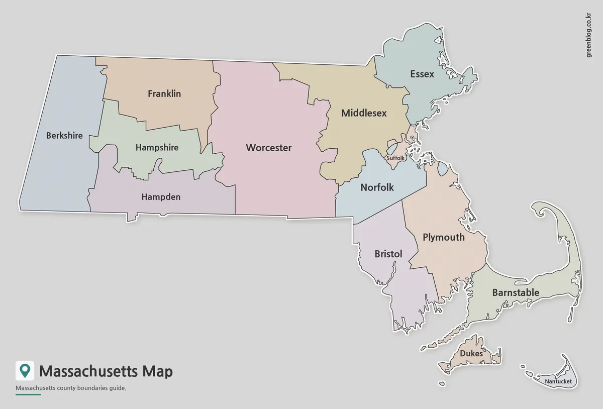
The color version separates counties using distinct colors, making regional boundaries easier to identify at a glance. This format works well when discussing population distribution, regional planning, economic patterns, election results, or educational materials.
Eastern Massachusetts contains several densely populated counties surrounding Boston, while western counties cover larger geographic areas. The color layout makes these regional differences easier to visualize. Neighboring counties were assigned contrasting colors to improve readability both on screen and in print.
Printable Massachusetts Map with Labels
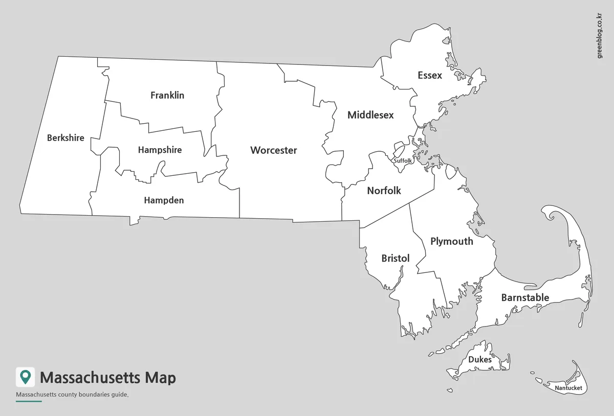
The black and white version focuses on county boundaries and place names without relying on color. Major cities such as Boston, Worcester, Springfield, and Cambridge remain visible while maintaining a clean appearance suitable for reports and presentation slides.
Readability was reviewed during large-format printing tests to ensure labels remained clear. This version works especially well for classroom reference materials, academic presentations, and regional comparison documents where excessive color may be distracting.
Blank Outline Map for Editing Projects
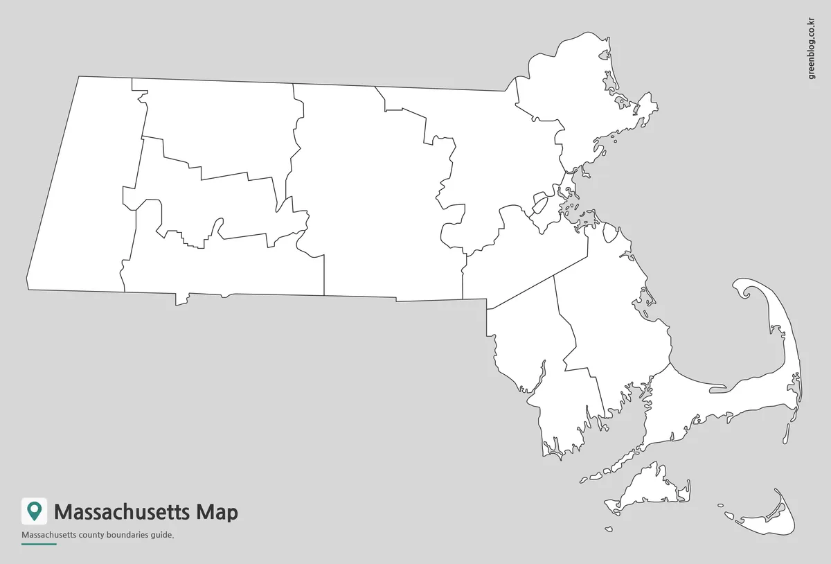
The outline version removes colors and labels while preserving county boundary lines. Graphic designers, educators, students, and content creators often prefer this format when adding their own information.
Useful examples include:
- Educational worksheets
- County coloring activities
- Travel planning maps
- Population analysis projects
- Infographic design
- Regional annotation work
Boundary lines around Cape Cod and coastal sections were simplified where appropriate to provide a cleaner editing experience.
Built for Classroom and Presentation Use
Many users need maps that can move beyond simple reference purposes. A printable Massachusetts Map can support educational handouts, regional studies, travel presentations, blog illustrations, and infographic projects.
The labeled version works well for teaching state geography, while the color version supports visual comparison exercises. The outline version offers flexibility for custom graphic work. Having all three styles available allows users to select the format that matches their specific objective rather than relying on a single map design.
Frequently Asked Questions
Does the Massachusetts Map include county boundaries?
Yes. All versions include Massachusetts county boundaries.
Can the maps be printed in large format?
Yes. The files were prepared for high-resolution A3 printing.
Which version is best for editing?
The outline map is the most suitable option for graphic editing and custom annotations.
Is the labeled version useful for classroom projects?
Yes. It includes major cities and county boundaries while keeping the layout easy to read.
Massachusetts Map Download
Download the Massachusetts Map files below. The collection includes color, labeled, and outline versions for printing, classroom use, presentations, and editing projects.
- File Format: JPG
- Print Size: A3 High Resolution
- Included Maps: Color Map · Labeled Map · Outline Map
- Usage: Printing · Education · Presentation · Editing
Additional Resources
- USGS National Map — Official U.S. mapping resource with geographic and boundary data.
Related Maps
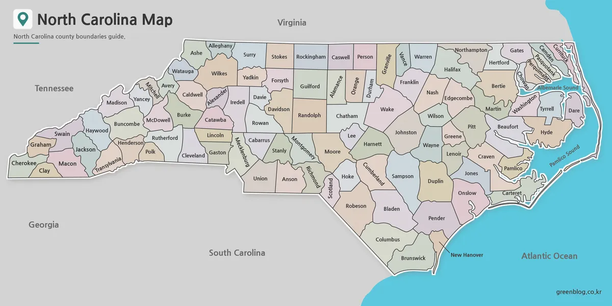
- South Carolina Map Download | Printable County Map Collection
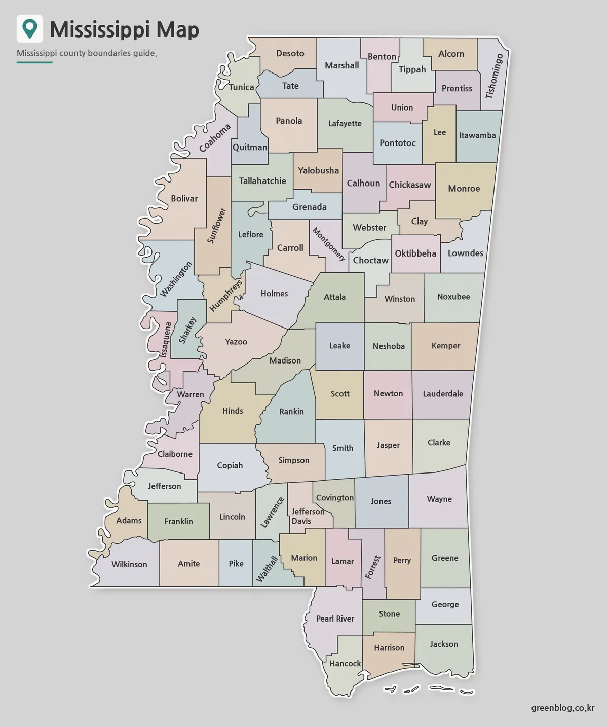
- Mississippi Map Download | Printable County Map Collection
- Alabama Map Download | Printable County Map Collection
- Louisiana Parish Map Collection – Printable Color, Labeled and Outline Maps