
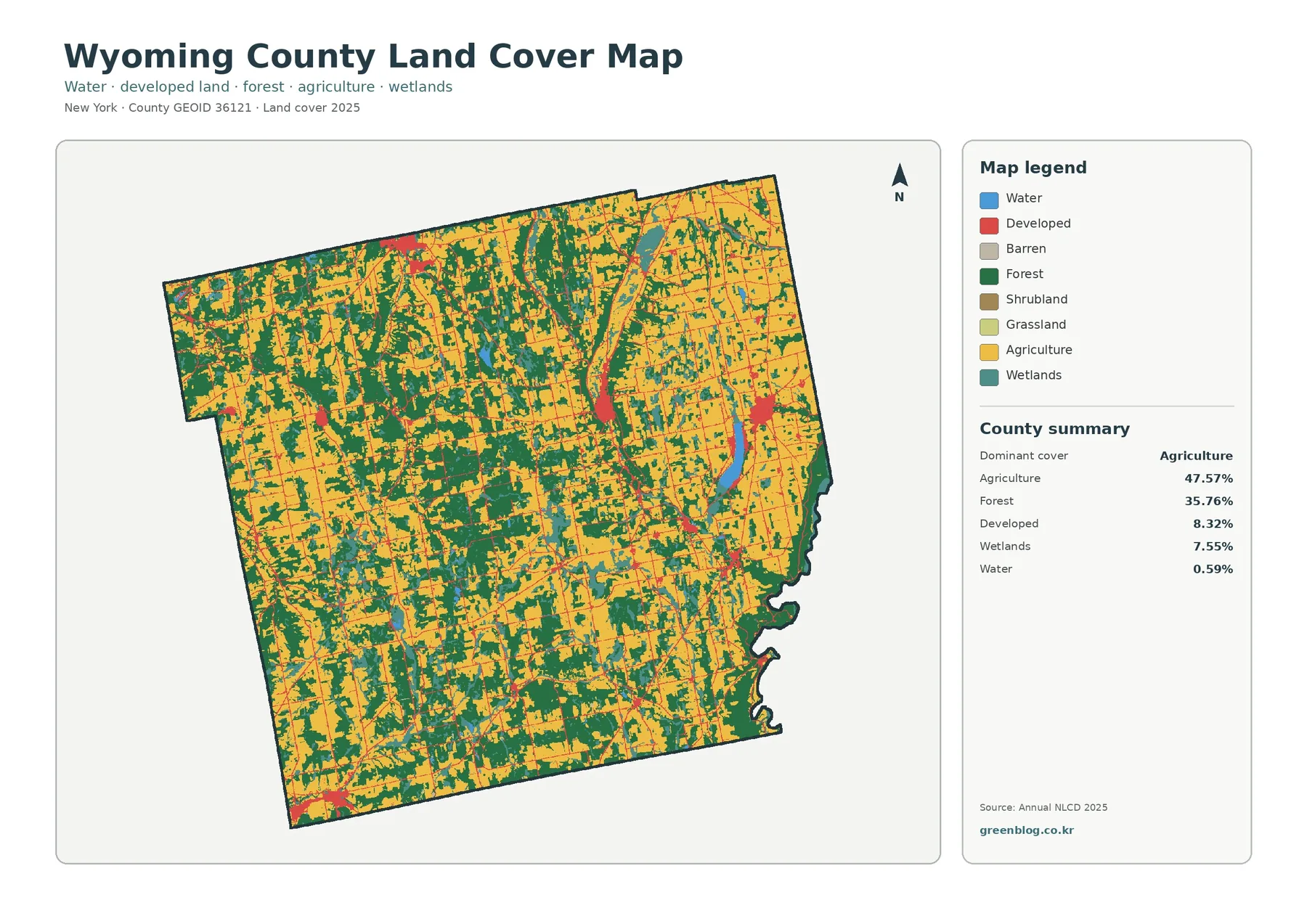
Wyoming County New York Land Cover Map: Farms, Forest Patches, and Wetland Corridors
Wyoming County’s 2025 land-cover pattern is led by agriculture at 47.57%, with forest covering another 35.76%. Developed land accounts for […]
Wyoming County New York Land Cover Map: Farms, Forest Patches, and Wetland Corridors Read More »