
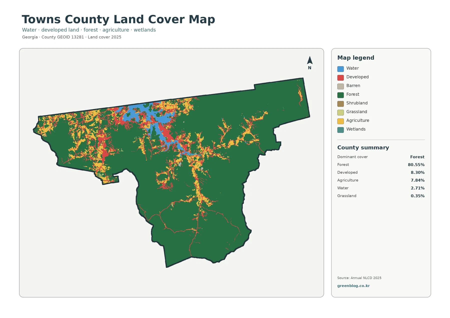
Towns County Georgia Land Cover Map — Forest Dominance, Lake Chatuge, and Compact Built Clusters
Towns County is overwhelmingly forested in the 2025 land-cover summary. Forest accounts for 80.55% of the county, while developed land […]
Towns County is overwhelmingly forested in the 2025 land-cover summary. Forest accounts for 80.55% of the county, while developed land […]
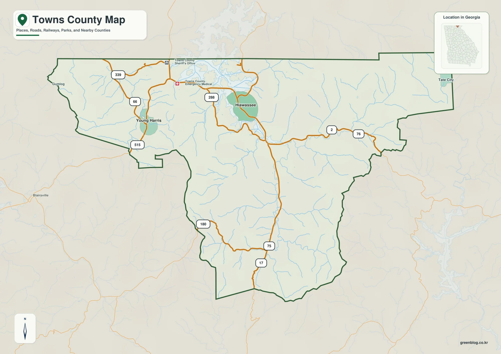
Towns County sits at the northern edge of Georgia, where Hiawassee, Young Harris, Lake Chatuge, winding mountain roads, and steep
Hiawassee and Lake Chatuge on a Towns County Map – Roads, Waterways, and Mountain Relief Read More »