
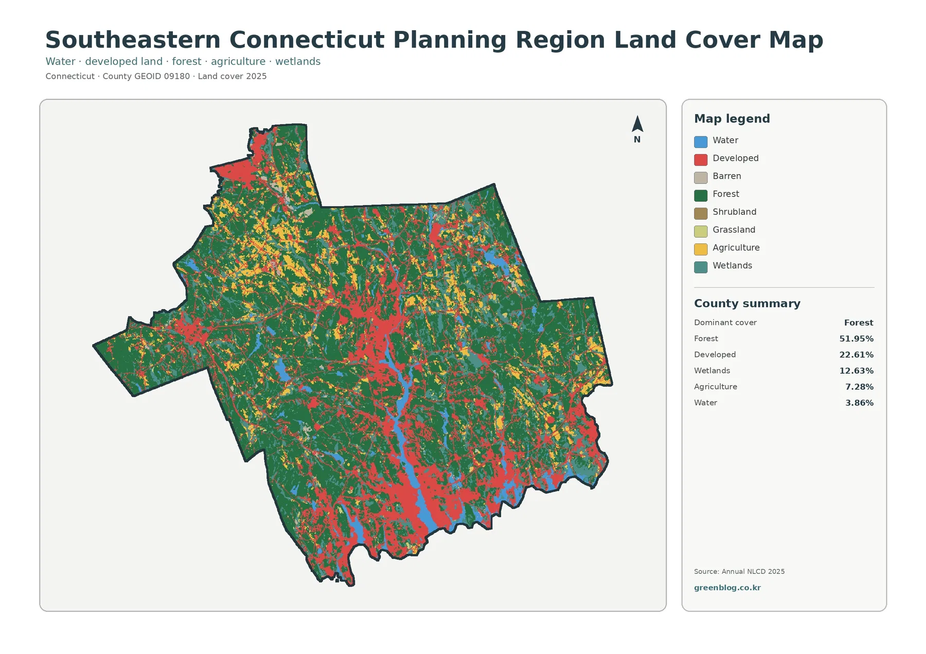
Southeastern Connecticut Planning Region Land Cover Map — 51.95% Forest, Wetlands, and Developed Corridors
Southeastern Connecticut Planning Region combines a heavily wooded interior with a shoreline where developed land, water, and wetlands become much […]