
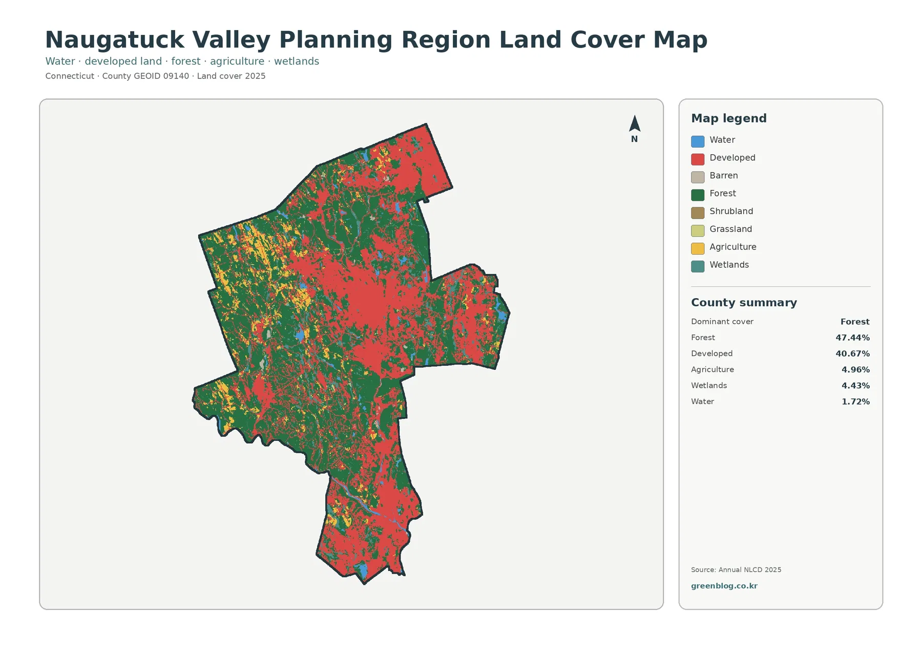
Naugatuck Valley Planning Region Connecticut Land Cover Map: Forested Hills Around a Developed Valley Core
Naugatuck Valley Planning Region has an unusually close split between forest and developed land. The 2025 summary places forest at […]
Naugatuck Valley Planning Region has an unusually close split between forest and developed land. The 2025 summary places forest at […]