
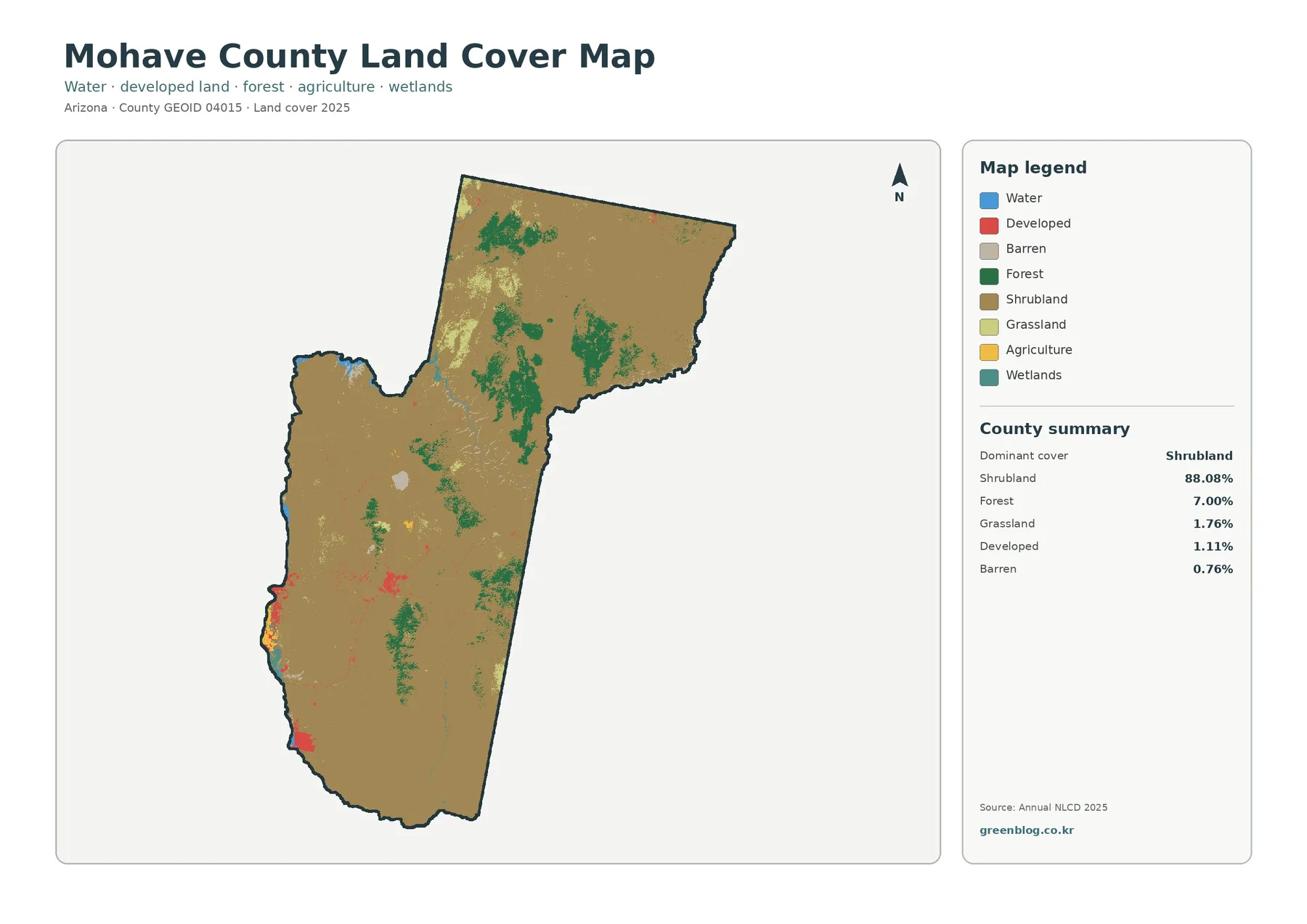
Mohave County Arizona Land Cover Map — 88.08% Shrubland, River-Edge Development, and 1985–2025 Change
Mohave County occupies a large part of northwestern Arizona, where broad desert landscapes meet the Colorado River, reservoir shorelines, scattered […]