
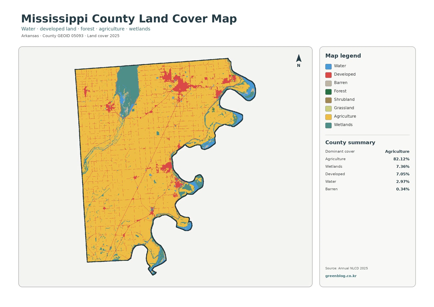
Mississippi County Arkansas Land Cover Map — An 82.12% Agricultural Plain Interrupted by Big Lake and River Wetlands
Mississippi County is one of the clearest farm-dominated landscapes in Arkansas in the 2025 map set. Agriculture accounts for 82.12% […]