
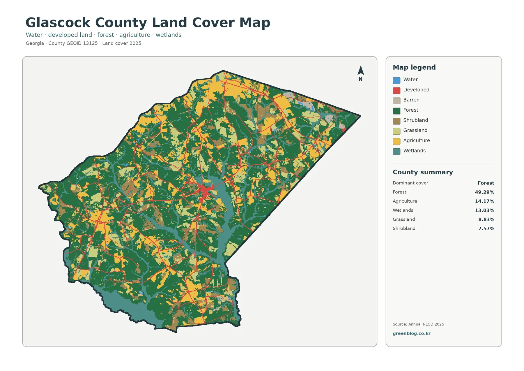
Glascock County Georgia Land Cover Map – Forest Interior, Ogeechee Wetlands, and Gibson Development
Glascock County has a distinctly mixed 2025 land-cover pattern. Forest is the largest class at 49.29%, yet farmland, wetlands, grassland, […]
Glascock County has a distinctly mixed 2025 land-cover pattern. Forest is the largest class at 49.29%, yet farmland, wetlands, grassland, […]