
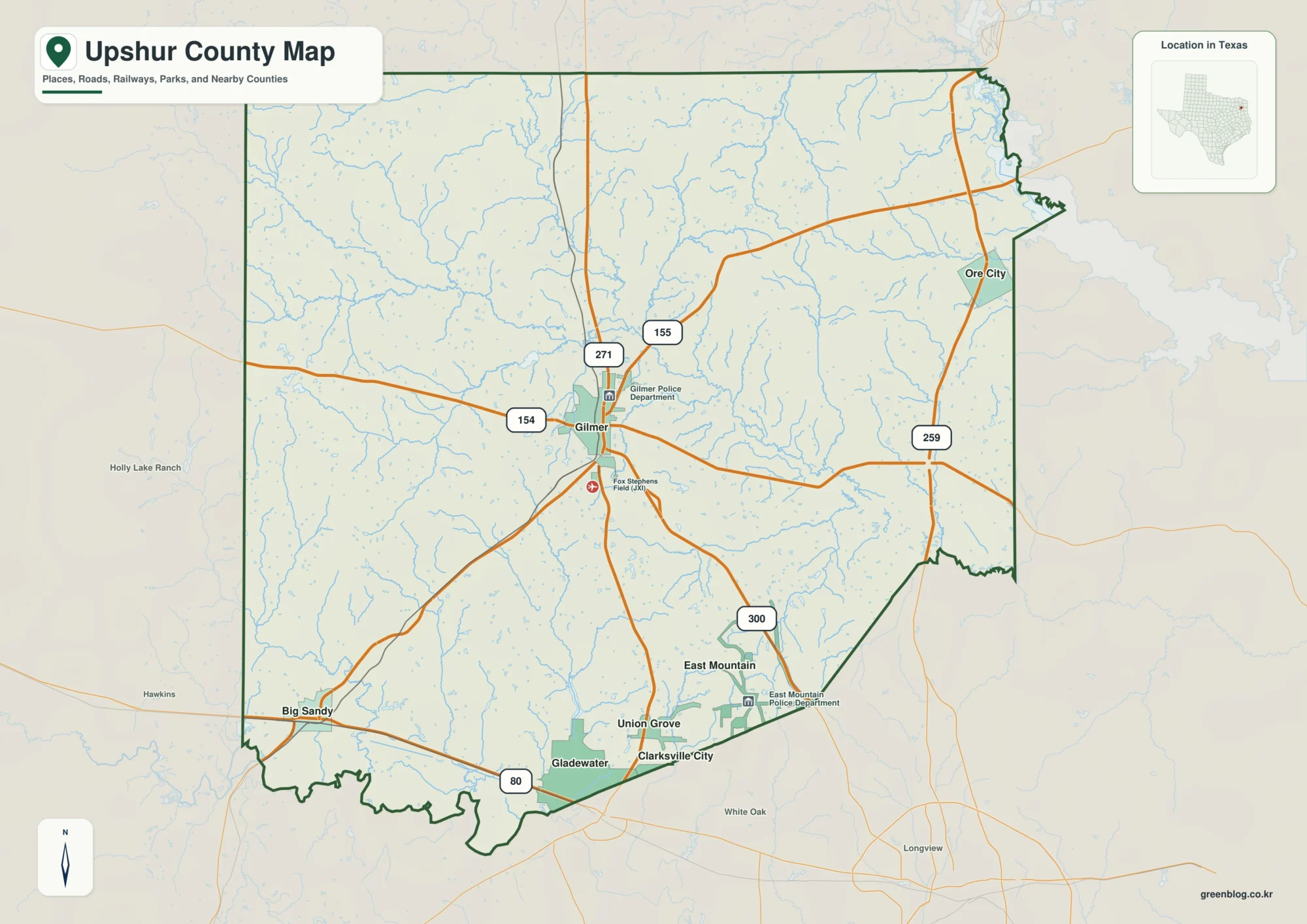
Gilmer and Little Cypress Creek on an Upshur County Texas Map
This page uses Gilmer as the road-centered anchor for an Upshur County Texas Map, then compares Big Sandy in the
Gilmer and Little Cypress Creek on an Upshur County Texas Map Read More »
This page uses Gilmer as the road-centered anchor for an Upshur County Texas Map, then compares Big Sandy in the
Gilmer and Little Cypress Creek on an Upshur County Texas Map Read More »
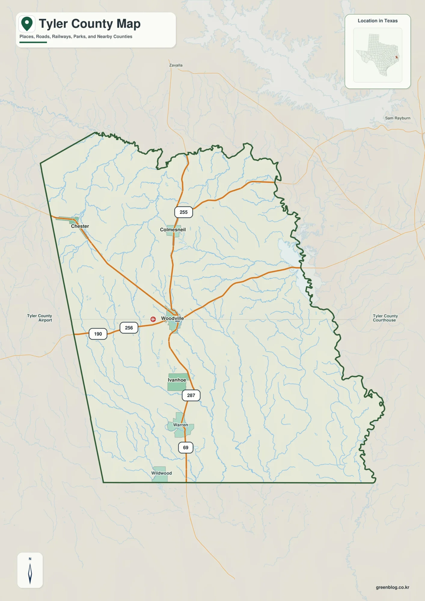
This page uses Woodville as the hub for a Tyler County Texas Map, then follows the county north toward Colmesneil
Tyler County Texas Map: Big Cypress Creek, Woodville, and 11–143 m Relief Read More »
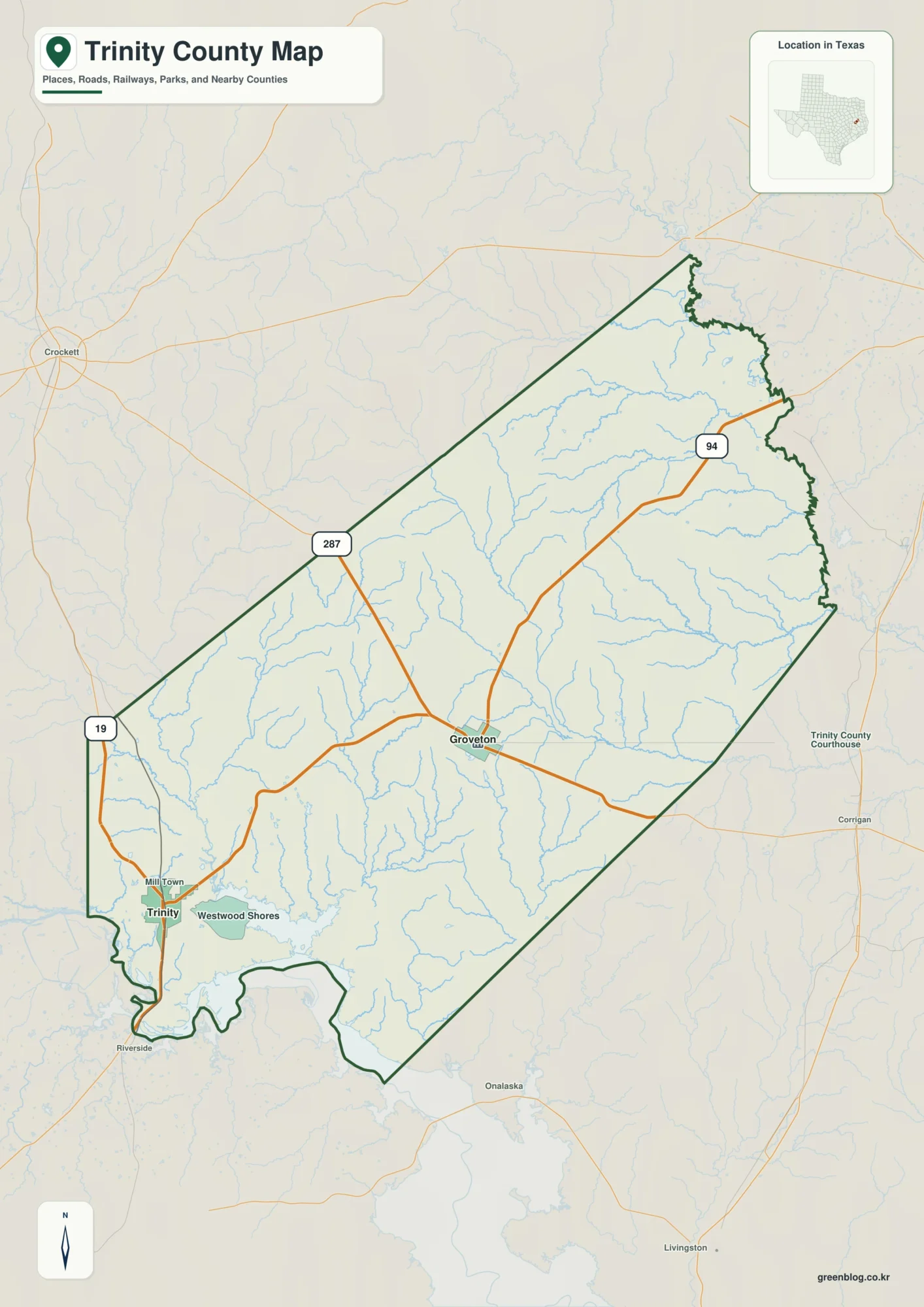
This page uses Groveton as the central road reference for a Trinity County Texas Map, then compares the larger town
Groveton and Neches River Valleys on a Trinity County Texas Map Read More »
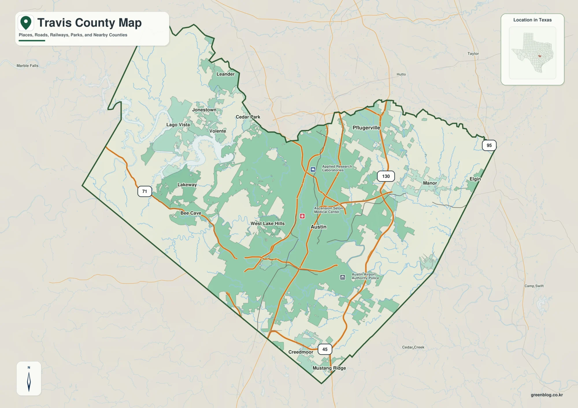
This Travis County Map set uses Austin as the central urban reference, then separates the flatter east and northeast from
Travis County Map: Austin, Lake Travis, and the Colorado River Corridor Read More »
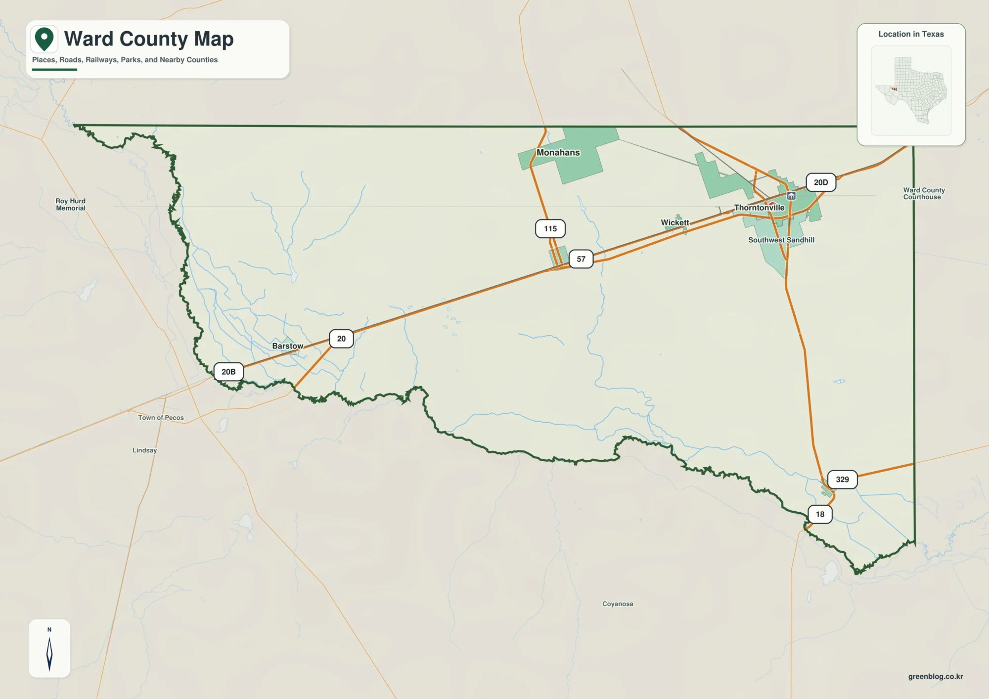
This page uses Monahans as the main settlement reference for a Ward County Texas Map, then follows the road corridor
Pecos River and Monahans on a Ward County Texas Map Read More »
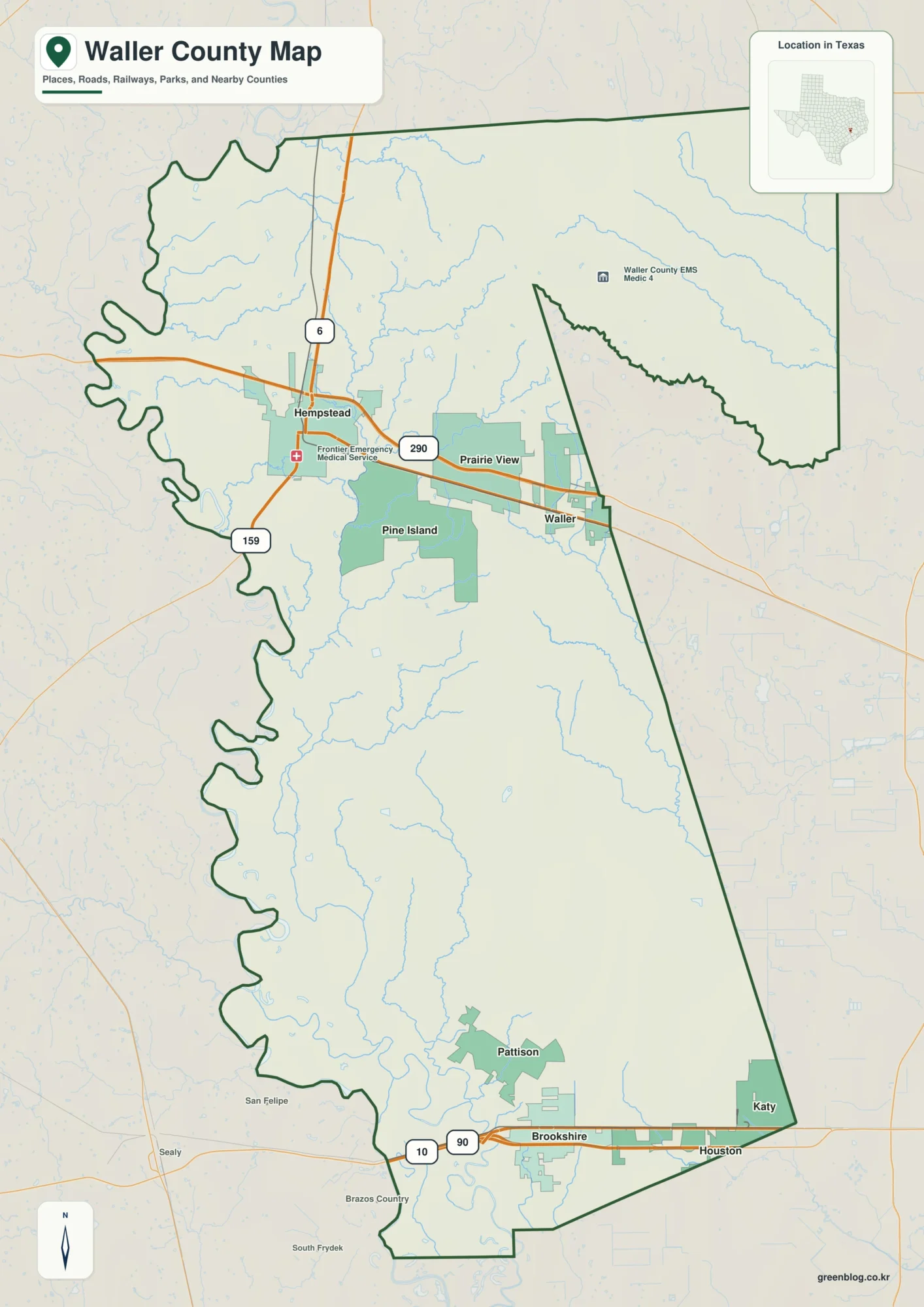
This page uses Hempstead as the northern road reference for a Waller County Map, then separates the Prairie View–Waller side
Hempstead, Brazos River, and Creek Valleys on a Waller County Map Read More »
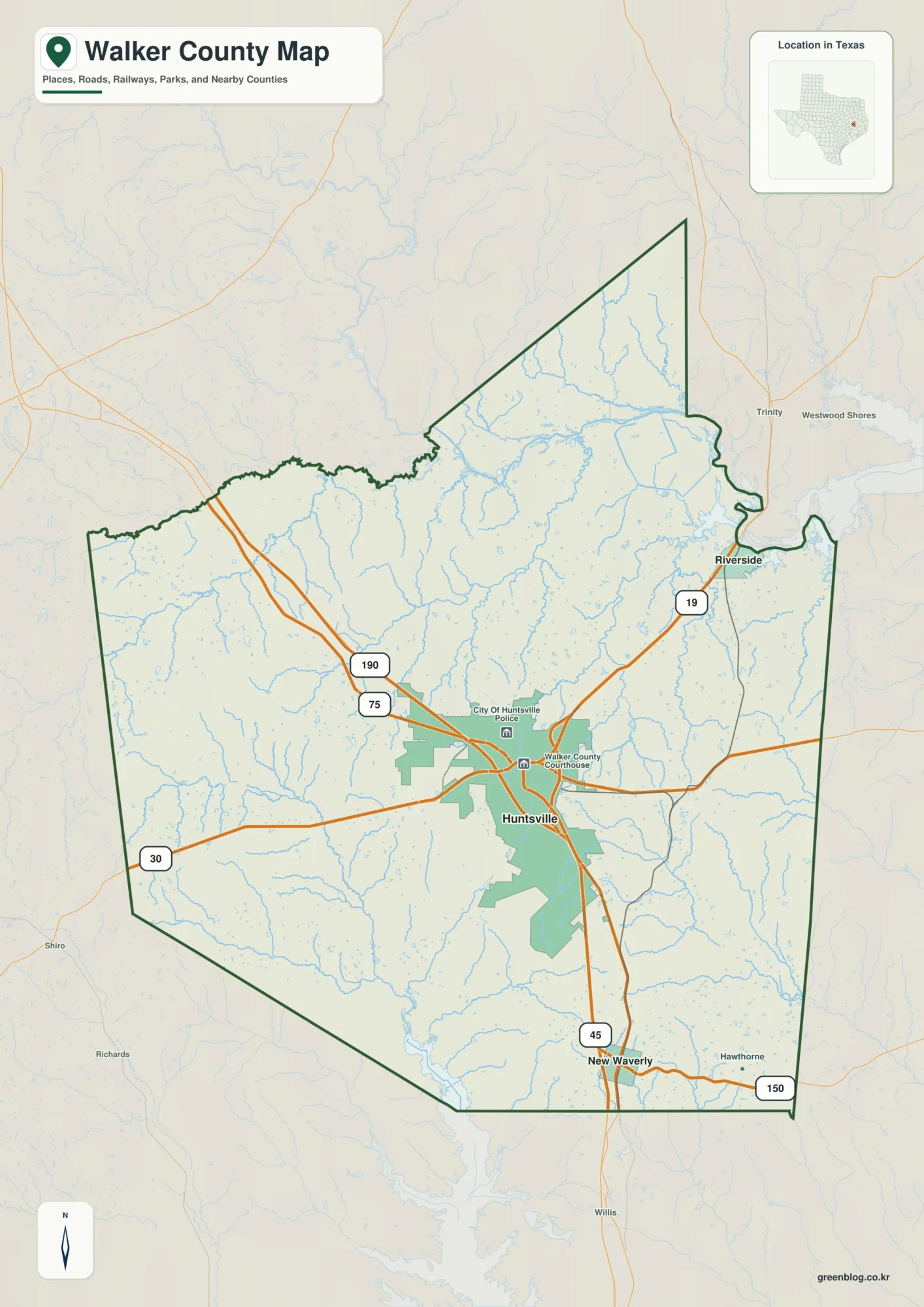
This page uses Huntsville as the hub for a Walker County Texas Map, then follows Interstate 45 south to New
Huntsville and Trinity River Valleys on a Walker County Texas Map Read More »
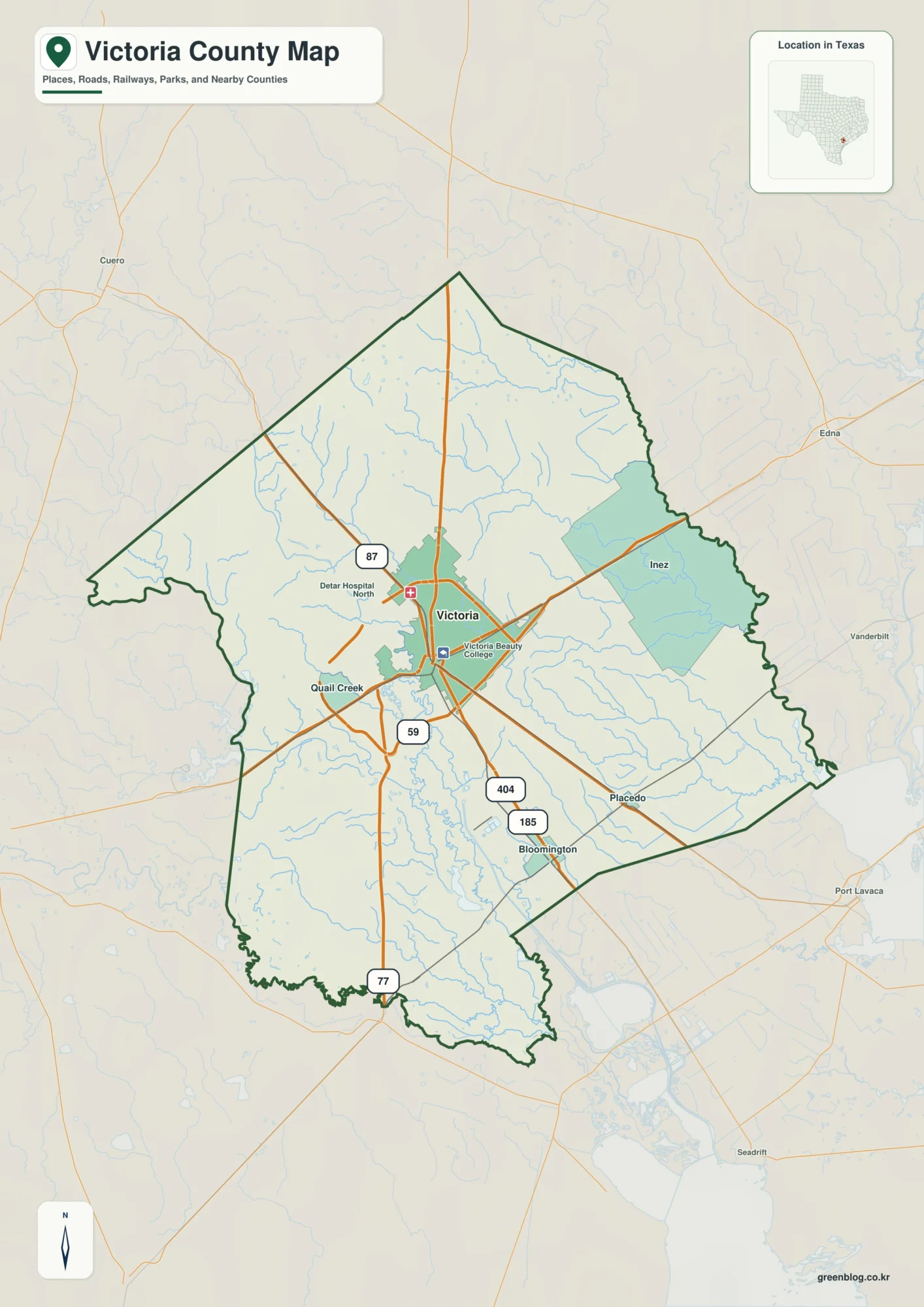
This Victoria County Map set uses the city of Victoria as the central road and settlement reference, then follows the
Guadalupe River and Victoria on a Victoria County Map Read More »
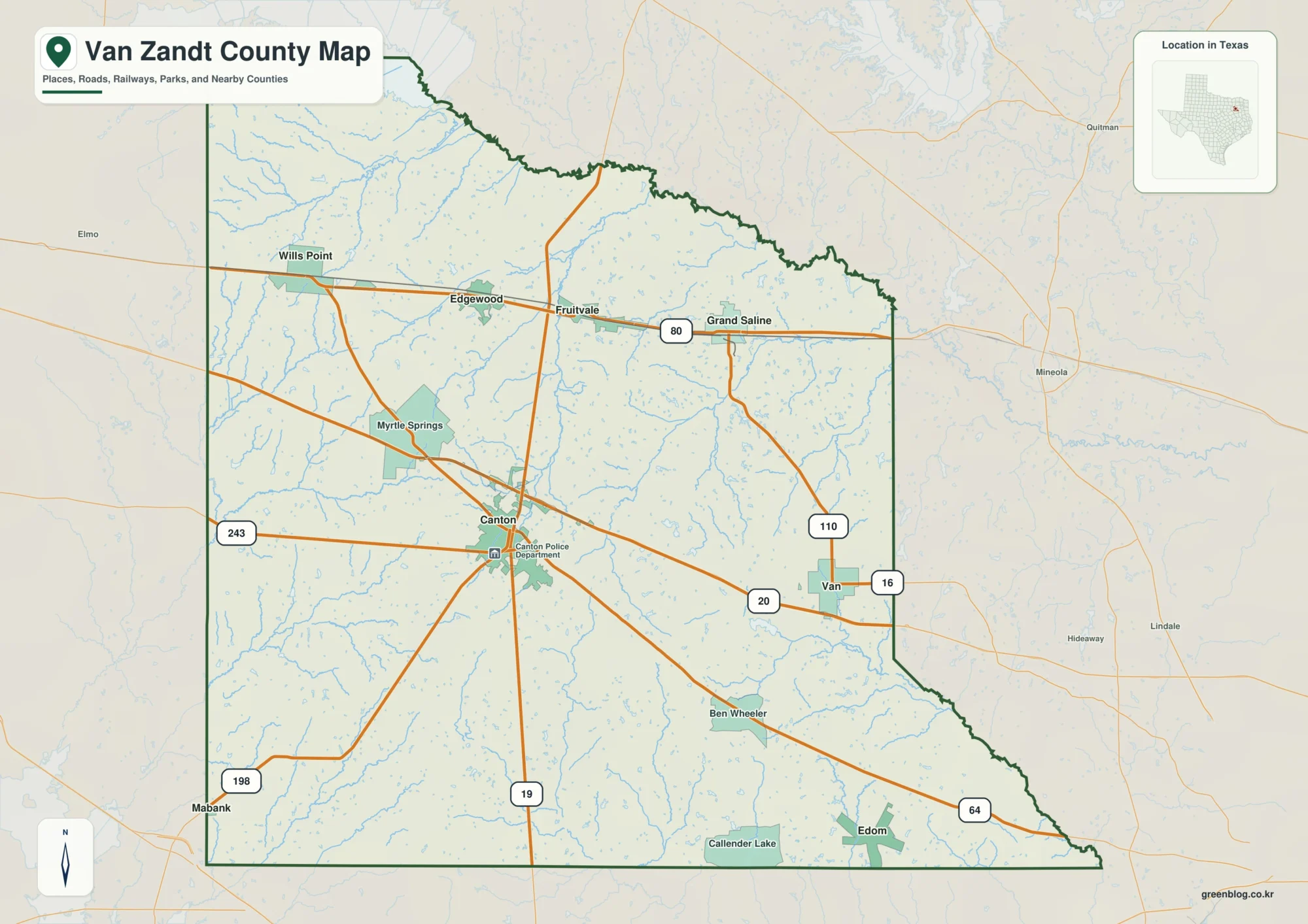
This page uses Canton as the central reference for a Van Zandt County Map, then follows the northern towns along
Canton, Grand Saline, and Creek Valleys on a Van Zandt County Map Read More »