
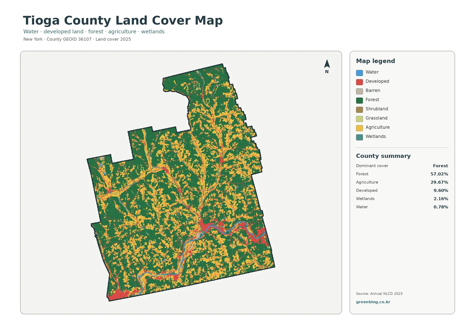
Tioga County New York Land Cover Map – Forested Uplands Around the Susquehanna Valley
Tioga County has a strongly rural land-cover pattern in 2025: forest occupies 57.02% of the county, agriculture 29.67%, developed land […]
Tioga County New York Land Cover Map – Forested Uplands Around the Susquehanna Valley Read More »