
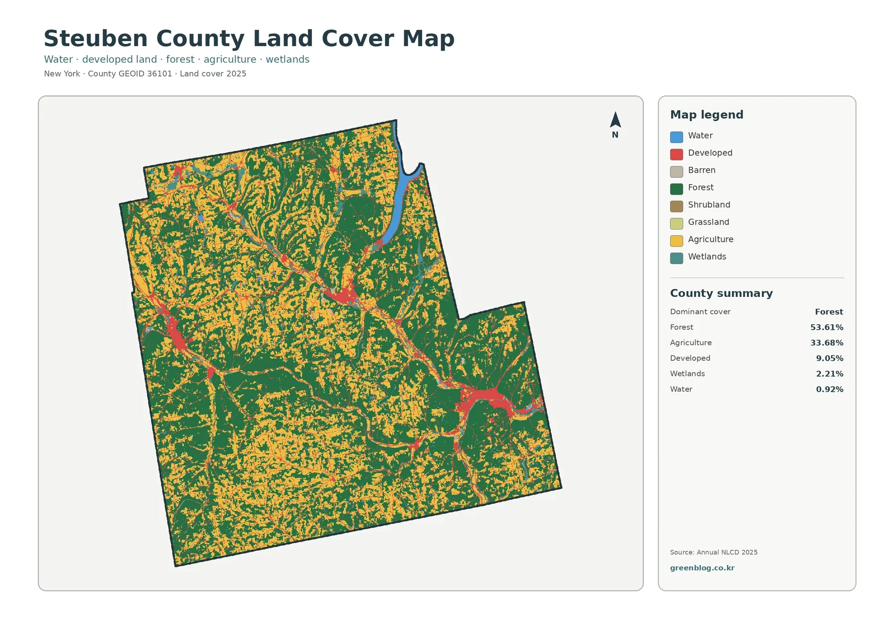
Steuben County New York Land Cover Map — Farm Valleys, Forested Uplands, and Small Urban Centers
Steuben County’s 2025 land-cover pattern is defined by two large surfaces rather than one: forest covers 53.61% of the county […]
Steuben County’s 2025 land-cover pattern is defined by two large surfaces rather than one: forest covers 53.61% of the county […]